 Block
Troy, Wisconsin
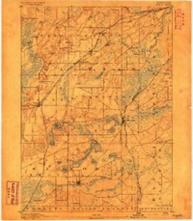
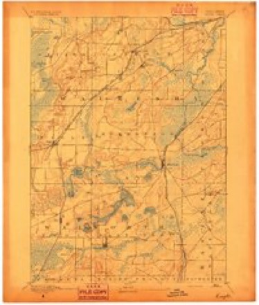
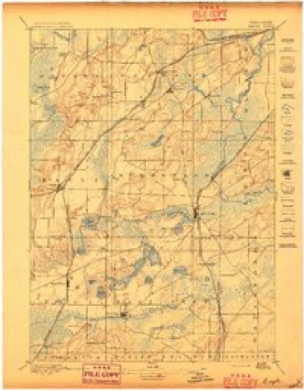
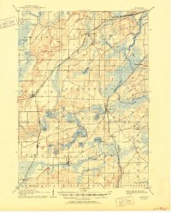
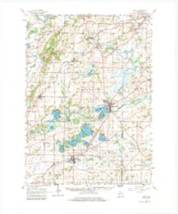
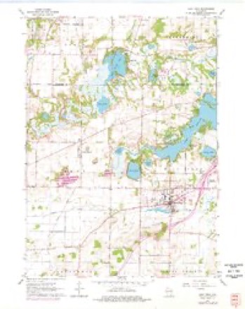
24 topographic sheets cover this place, the earliest surveyed in 1892 and the latest in 1980. It stands in Troy town. It lies in ZIP code area 53120. The Survey maps it on the East Troy quadrangle. It stands 869 feet above sea level.
Topographic sheets covering this place
11 surveys from 24 printed sheetsMatched by testing this settlement's coordinate against the published boundary of every sheet in the United States Geological Survey's historical collection. Each opens the scanned sheet at the Survey.
- 1892 USGS Eagle quadrangle1:62500
- 1894 USGS Eagle quadrangle1:62500
- 1897 USGS Eagle quadrangle1:62500
- 1906 USGS Eagle quadrangle1:62500, 6 printings
- 1954 USGS Rockford quadrangle1:250000
- 1955 USGS Rockford quadrangle1:250000
- 1958 USGS Rockford quadrangle1:250000, 4 printings
- 1960 USGS Eagle quadrangle1:62500, 3 printings
- 1960 USGS East Troy quadrangle1:24000, 4 printings
- 1963 USGS Rockford quadrangle1:250000
- 1980 USGS Lake Geneva quadrangle1:100000





In the county-history sources
14,241 words on this townshipHistory of Walworth County, Wisconsin, Containing an Account of Its Settlement, Growth, Development and Resources...its War Record, Biographical Sketches, Portraits of Prominent Men and Early Settlers; the Whole Preceded by a History of Wisconsin...and an Abstract of Its Laws and Constitution.., published 1882 names this settlement in its chapter on Troy Town. These are the passages that mention it, exactly as the scans read.
At the organization of Walworth County in 1838, all the ten-itory covering the northern half of the northeast quarter of the county, being Town 4, Ranges 17 and 18 east, was given the name of Troy. This territory was divided by act of Legislatui-e. March 21, 1843, the eastern half (Town 4, Range 18 east) receiving the name of East Troy, and the western half (Town 4, Ranee 17 east) retaining the original name. This sketch is restricted to a naiTation of events connected with the town as existing within its present geographical limits.
Passage source: History of Walworth County, Wisconsin, Containing an Account of Its Settlement, Growth, Development and Resources...its War Record, Biographical Sketches, Portraits of Prominent Men and Early Settlers; the Whole Preceded by a History of Wisconsin...and an Abstract of Its Laws and Constitution.., published 1882.
The southwestern portion of Troy is swampy, but the central, northern and eastern parts are diversified with lakes, groves of oak and other varieties of wood, beautiful prairie lands, ninning streams and all the various accessories that help to make a lovely and attractive landscape. The town is watered by Honey Creek, Crooked Creek and several small lakes. Honey Creek was christened in the fall of 1835 by Meaeham and Spoor, in their first exploring expedition to Wisconsin. When they arrived at the beautiful stream, they foimd that the bees had discovered the flowery prairie just beyond, and laid up a store of choice food for the coming winter. It had been many long days since the huugi-y prospectors had tasted such delicious sweets, and they " jumped the claim " ' of the provident little "settlers," and took possession of their dwelling with all it contained. In remembrance of the confiscated meal, Honey Creek received its name. It enters the town of Troy on SectioQ 31, runs in a general easterly direction through Sections 29, 28, 27, 26 and leaves on Section 25.
Passage source: History of Walworth County, Wisconsin, Containing an Account of Its Settlement, Growth, Development and Resources...its War Record, Biographical Sketches, Portraits of Prominent Men and Early Settlers; the Whole Preceded by a History of Wisconsin...and an Abstract of Its Laws and Constitution.., published 1882.
Crooked Creek, starting on Section 9, runs with countless meanderings into Section 10, curves to the north and enters Section 3, makes a sharp lieud to the southeast and empties into Lake Lulu on Section 2. There is also a small creek on Section 13. which forms the outlet of Pickerel Lake. The beautiful little sheet of water, with its one Fairy Island, on Sections 13 and 24, received its name, like Honey Creek, at a veiy early day. Rev. Mx. Beardsley. in his reminiscences of the early history of Troy, says: " An elderly gentleman by the name of Booth came into the country with the Meaeham family. He had been in their family a number of years before coming here, and continued with them some years after their emigration here. He" was a quiet, retiring man, that seemed not much bm-dened with worldly cares and labors. He was enchanted with the beautiful lake on Sections 13 and 24 of Troy, and was wont to spend a large part of his time on the lake, either in fishing or in some other manner. If any one inquired for him, they were probably informed that he was down to the lake. And so it came to pass that it was often remarked In' some one. ' Let us go down to the lake and see what Booth is about.' At last, the beautiful little body of water, not sm-passed by any in the State, came to be called 'Booth's Lake,' a name which it has continued to hold to this day."
Passage source: History of Walworth County, Wisconsin, Containing an Account of Its Settlement, Growth, Development and Resources...its War Record, Biographical Sketches, Portraits of Prominent Men and Early Settlers; the Whole Preceded by a History of Wisconsin...and an Abstract of Its Laws and Constitution.., published 1882.
Machine-read from a century-old scan, so expect the errors a machine makes: misspelled names, dropped words, stray characters.
Read the whole chapter on Troy Town - it names this place 63 more 63 times.
Fires near this place
12 since 2010Regional context, not property-specific evidence. The federal wildfire occurrence database lists 12 fires within 5 miles of Troy between 2010 and 2020, burning about 58 acres in total. None started naturally. None was recorded as arson. Distance is straight-line from the map coordinates, so a fire counted here may appear on a neighbouring settlement's page as well.
| Reported cause | Fires |
|---|---|
| Debris and open burning | 7 |
| Missing data/not specified/undetermined | 5 |
The most recent of them, most recent first, with the day each was reported and the service that recorded it.
| Date | Cause | Size | Reported by | Name on the report |
|---|---|---|---|---|
| 5 August 2018 | Missing data/not specified/undetermined | under an acre | Wisconsin Department of Natural Resources | 79 |
| 26 July 2018 | Missing data/not specified/undetermined | under an acre | Wisconsin Department of Natural Resources | 73 |
| 7 May 2020 | Missing data/not specified/undetermined | under an acre | Wisconsin Department of Natural Resources | 22 |
| 8 April 2018 | Debris and open burning | 4.0 acres | Wisconsin Department of Natural Resources | 201816 |
| 3 April 2019 | Debris and open burning | under an acre | Wisconsin Department of Natural Resources | 33 |
| 25 April 2018 | Missing data/not specified/undetermined | under an acre | Wisconsin Department of Natural Resources | 2018021 |
| 23 April 2018 | Missing data/not specified/undetermined | under an acre | Wisconsin Department of Natural Resources | 2018020 |
| 15 April 2020 | Debris and open burning | under an acre | Wisconsin Department of Natural Resources | 122 |
Settlements close enough to share some of these fires:
Mines and quarries near this place
4 within 5 milesRegional context, not property-specific evidence. The federal mineral resources record lists 4 workings within 5 miles of Troy: 2 past producers, 1 unknown, 1 occurrence. None of them still produces. What was taken out: Sand and Gravel, Construction. Distance is straight-line from the map coordinates, so a quarry counted here may appear on a neighbouring settlement's page as well.
| Where | Site | Commodity | Status | Recorded |
|---|---|---|---|---|
| Army Lake Sand Deposit | Sand and Gravel, Construction | Occurrence | ||
| Meyers Pit | Sand and Gravel, Construction | Unknown | ||
| O Malley Pit | Sand and Gravel, Construction | Past Producer | ||
| Swoboda Pit | Sand and Gravel, Construction | Past Producer |
Storms near this place
42 since 1995Regional context, not property-specific evidence. The National Weather Service names Troy in 42 storm reports between 1995 and 2026: 23 thunderstorm wind, 14 hail, 2 lightning, 1 funnel cloud. The reports record 10 injuries. Each account below is quoted exactly as the forecast office filed it, from the NOAA Storm Events Database, and each date opens the federal record of that event.
| When | Event | Place named | Harm | What the report says |
|---|---|---|---|---|
| July 2003 | Lightning | East Troy | 8 hurt | no account filed |
| July 2003 | Lightning | East Troy | 2 hurt | no account filed |
| April 2026 | Tornado (EF1) | Troy | $392,000 | The tornado started northwest of County Road ES, west of Interstate 43, south of East Troy where it heavily damaged two barns. Corn stubble was noted to be deposited from the corn field to the west all along a path through a cemetery up to Interstate 43. Some tree damage was noted along Alpine Valley Golf Course. The tornado then moved along County Road D and caused additional damage to some barns and outbuildings along with numerous trees. The tornado ended somewhere south of County Road D and northwest of Valley View Road. |
| June 2008 | Thunderstorm Wind | East Troy | $150,000 | Powerful, hurricane-force thunderstorms winds knocked down many trees, power-lines, and an old silo. Additionally, part of a roof of a barn was ripped off, a concrete wall of a machine shed was blown in, and 2 semi tractor-trailers were blown over on Interstate-43. Peak wind gusts were estimated at 78 knots (90 mph), but this number could be 9 knots (10 mph) too low or too high. |
| June 2001 | Thunderstorm Wind | East Troy | $25,000 | no account filed |
| October 1996 | Thunderstorm Wind | East Troy | $20,000 | no account filed |
| September 2022 | Thunderstorm Wind | East Troy | $10,000 | Numerous trees, branches, and powerlines down in East Troy. |
| August 2024 | Thunderstorm Wind | Troy | $8,000 | A barn destroyed and trees down. |
| July 2013 | Thunderstorm Wind | East Troy | $7,000 | The Walworth County 911 Call Center received reports of trees and power lines downed by thunderstorm wind gusts estimated at 60 mph (52 knots) in East Troy. |
| July 2005 | Thunderstorm Wind | East Troy | $5,000 | no account filed |
| June 2002 | Thunderstorm Wind | East Troy | $5,000 | no account filed |
| August 2002 | Flash Flood | East Troy | $5,000 | no account filed |
| May 1998 | Thunderstorm Wind | East Troy | $5,000 | no account filed |
| August 2013 | Thunderstorm Wind | East Troy | $4,000 | Multiple trees were downed by thunderstorm wind gusts. |
| July 2023 | Thunderstorm Wind | East Troy | $3,000 | Trees down. |
| August 2000 | Thunderstorm Wind | East Troy | $2,000 | no account filed |
| June 1997 | Thunderstorm Wind | East Troy | $2,000 | no account filed |
| April 2026 | Thunderstorm Wind | East Troy | $1,000 | An uprooted tree. |
| June 1999 | Thunderstorm Wind | East Troy | $1,000 | no account filed |
| July 1997 | Thunderstorm Wind | East Troy | $600 | no account filed |
| May 2025 | Hail | East Troy | - | The large hail shredded the leaves off the trees. |
| June 2011 | Thunderstorm Wind | East Troy | - | A trained spotter reported large tree branches knocked down by thunderstorm wind gusts estimated to be as high as 60 mph (52 knots). |
| June 2010 | Thunderstorm Wind | East Troy | - | Law enforcement officials reported trees and power lines were blown down in multiple locations in East Troy due to strong thunderstorm wind gusts. |
| August 2009 | Thunderstorm Wind | East Troy | - | Tree damage from near Beulah Station (east of city of East Troy) to Honey Creek was noted by a trained spotter. Based on the size of the limbs and trees blown down they estimated winds in excess of 52 knots (60 mph). |
| May 2025 | Hail | East Troy | - | no account filed |
| May 2025 | Hail | East Troy | - | no account filed |
| May 2025 | Hail | East Troy | - | no account filed |
| May 2023 | Hail | Troy | - | no account filed |
| July 2023 | Thunderstorm Wind | East Troy | - | no account filed |
| June 2017 | Hail | East Troy | - | no account filed |
| September 2010 | Hail | East Troy | - | no account filed |
| March 2005 | Hail | East Troy | - | no account filed |
| July 2005 | Hail | East Troy | - | no account filed |
| July 2005 | Thunderstorm Wind | East Troy | - | no account filed |
| August 2005 | Hail | East Troy | - | no account filed |
| May 2001 | Hail | East Troy | - | no account filed |
| May 2000 | Hail | East Troy | - | no account filed |
| May 2000 | Funnel Cloud | East Troy | - | no account filed |
| May 2000 | Hail | East Troy | - | no account filed |
| August 1997 | Hail | East Troy | - | no account filed |
| August 1995 | Thunderstorm Wind | East Troy | - | no account filed |
| August 1995 | Thunderstorm Wind | East Troy | - | no account filed |
Nearest settlements
The eight closest, with where each one stands in the county. Distances are straight-line, computed from the Geographic Names Information System coordinates.
| Map | Place | Distance | Sheets |
|---|---|---|---|
| East Troy | 2.2 miles | 24 | |
| Troy Center | 2.4 miles | 24 | |
| Skyview Terrace | 2.4 miles | 24 | |
| Mayhews (historical) | 2.6 miles | 24 | |
| Army Lake (historical) | 4.2 miles | 24 | |
| Hilburn | 4.8 miles | 24 | |
| Adams | 4.9 miles | 32 | |
| Potter Lake | 5.9 miles | 24 |
Elsewhere
Matched on this settlement's Geographic Names Information System number rather than its name, so it cannot be a different place of the same name in another state.
| Wikipedia article on Troy | An encyclopaedic summary. Its text is share-alike, so it is linked here rather than copied. |
| Wikidata item Q7846735 | The structured record the population and elevation above come from. Public domain (CC0). |
Provenance
This settlement is recorded in the Geographic Names Information System as feature 1575688. The sheet list is computed by point-in-boundary test against the United States Geological Survey's historical topographic inventory. Both are works of the United States government and carry no copyright under 17 U.S.C. 105.
Wildfire. Short, Karen C. 2022. Spatial wildfire occurrence data for the United States, 1992-2020 [FPA_FOD_20221014]. 6th Edition. Fort Collins, CO: Forest Service Research Data Archive. https://doi.org/10.2737/RDS-2013-0009.6 Collected with United States Government funding and usable without additional permissions or fees.
Mines and quarries. USGS Mineral Resources Data System (MRDS) https://mrdata.usgs.gov/mrds/ A work of the United States government, no copyright under 17 U.S.C. 105.
Storms. NOAA National Centers for Environmental Information, Storm Events Database https://www.ncei.noaa.gov/stormevents/ A work of the United States government, no copyright under 17 U.S.C. 105. Narratives are quoted verbatim from the National Weather Service report and are not edited or summarised.