 Block
From the record
One of 50 National Register listings published here for Walworth County · listed in 2015 · category: Building.
Sources: the National Register database, National Park Service
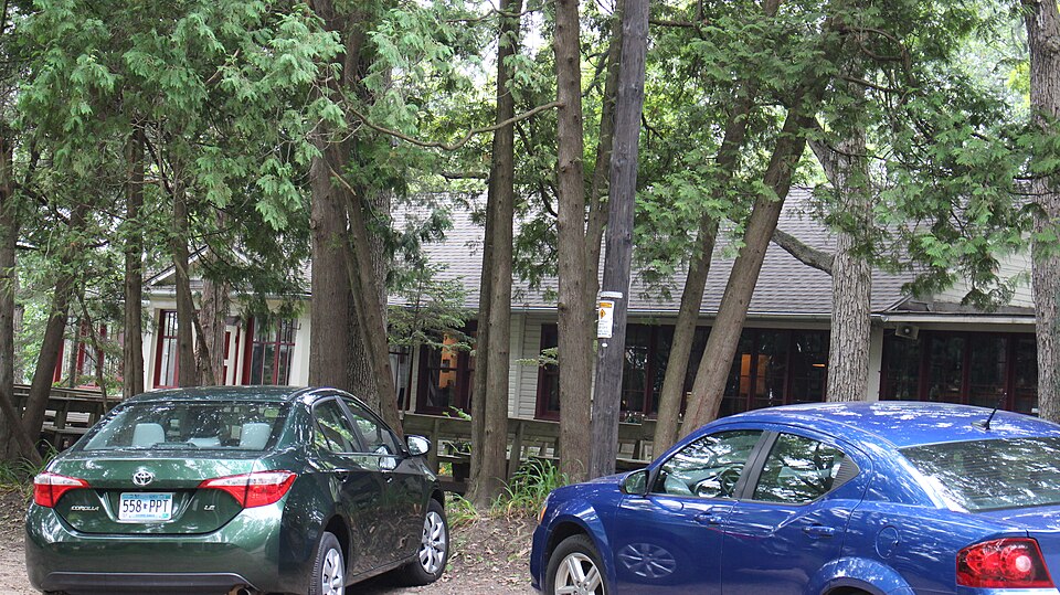
Listed on the National Register of Historic Places in 2015.
One of 50 National Register listings published here for Walworth County · listed in 2015 · category: Building.
Sources: the National Register database, National Park Service
The chapter on Sugar Creek Town in History of Walworth County, Wisconsin, Containing an Account of Its Settlement, Growth, Development and Resources...its War Record, Biographical Sketches, Portraits of Prominent Men and Early Settlers; the Whole Preceded by a History of Wisconsin...and an Abstract of Its Laws and Constitution.., published 1882 names Sugar Creek. This is what it says, exactly as the scans read.
Sugar Creek was originally the south eastern township of the original town of Elkhorn, and was known by that name till February 2, 1846, at which time it was, by act of the Territorial Legislature, incorporated into a separate town under its present name. It is described in the government survey as town 3 range 16 east. It is bounded on the north by the town of LaGrange ; east by LaFayette and Elkhorn ; south by Elkhorn and Delavan, and west by the town of Richmond. Its area embraces a full Congressional township of six miles square, less one section (No. 36) in the southeast corner, which was set off at the time it was incorporated, as a part of the present town of Elkhorn.
Passage source: History of Walworth County, Wisconsin, Containing an Account of Its Settlement, Growth, Development and Resources...its War Record, Biographical Sketches, Portraits of Prominent Men and Early Settlers; the Whole Preceded by a History of Wisconsin...and an Abstract of Its Laws and Constitution.., published 1882.
The surface is varied from level prairie to rolling, which in the northwestern part of the town rises into a low range of hills, running east and west. Nearly nine-tenths of the surface is level or nearly so. When first settled the prairies covered not far from ten square miles. Delavan Prairie, on Sections ol and 3:2, covered the two sections nearly except a tamarack swamp in the northern part of Section 31. Sugar Creek Prairie four and one-half miles long and one and one-half miles wide, was in the north half of the town. About a quarter of the surface was open prairie, half oak openings free from undergrowth, the remaining quarter being more heavily wooded, or marsh land lying along the coui'se of Sugar Creek, a small stream running nearly east through the center of the town. This creek is the only considerable stream in the township, and with several small streams flowing into it, furnishes drainage for the sections lying south of it. It flows through the towns of La Fayette and Spring Prairie, and empties into White River. It was fii-st discovered and explored by the early settlers of Spring Prairie in May 1836. Mr. Daniel Salisbury writes that on May 28, 1836, he, in company with Rowland Cook and Mr. Smith, wandered up tlie stream till they came to heavy timber, interspersed thickly with sugar maple, and came upon a camp of Indians a little west of what is now the west line of Spring Prairie. They had been making sugar at that point, and tiie name of the creek, as well as that of the town, doubtless came from ihe discovery of the sugar maple and the sugar camp on the banks of the stream.
Passage source: History of Walworth County, Wisconsin, Containing an Account of Its Settlement, Growth, Development and Resources...its War Record, Biographical Sketches, Portraits of Prominent Men and Early Settlers; the Whole Preceded by a History of Wisconsin...and an Abstract of Its Laws and Constitution.., published 1882.
Machine-read from a century-old scan, so expect the errors a machine makes: misspelled names, dropped words, stray characters.
Read the whole chapter on Sugar Creek Town - 9,286 words on its settlement, mills, schools and churches.
Regional context, not property-specific evidence. The federal wildfire occurrence database lists 22 fires within 5 miles of Wandawega Inn between 2018 and 2020, burning about 50 acres in total. None started naturally. None was recorded as arson. Distance is straight-line from the map coordinates, so a fire counted here may appear on a neighbouring settlement's page as well.
| Reported cause | Fires |
|---|---|
| Missing data/not specified/undetermined | 11 |
| Debris and open burning | 9 |
| Smoking | 1 |
| Recreation and ceremony | 1 |
The most recent of them, most recent first, with the day each was reported and the service that recorded it.
| Date | Cause | Size | Reported by | Name on the report |
|---|---|---|---|---|
| 21 August 2020 | Missing data/not specified/undetermined | under an acre | Wisconsin Department of Natural Resources | 336 |
| 15 June 2018 | Missing data/not specified/undetermined | 10 acres | Wisconsin Department of Natural Resources | 241 |
| 14 June 2018 | Missing data/not specified/undetermined | 1.0 acres | Wisconsin Department of Natural Resources | 239 |
| 9 April 2019 | Debris and open burning | under an acre | Wisconsin Department of Natural Resources | 19012 |
| 8 April 2019 | Missing data/not specified/undetermined | 10 acres | Wisconsin Department of Natural Resources | 153 |
| 7 April 2018 | Debris and open burning | 10 acres | Wisconsin Department of Natural Resources | 137 |
| 6 April 2019 | Debris and open burning | under an acre | Wisconsin Department of Natural Resources | 19011 |
| 29 April 2018 | Debris and open burning | 15 acres | Wisconsin Department of Natural Resources | 172 |
Regional context, not property-specific evidence. The federal mineral resources record lists 4 workings within 5 miles of Wandawega Inn: 2 past producers, 2 producers. 2 still produce. What was taken out: Sand and Gravel, Construction. Distance is straight-line from the map coordinates, so a quarry counted here may appear on a neighbouring settlement's page as well.
| Where | Site | Commodity | Status | Recorded |
|---|---|---|---|---|
| Home Pit | Sand and Gravel, Construction | Past Producer | ||
| Nelson Pit | Sand and Gravel, Construction | Past Producer | ||
| Paddock Pit | Sand and Gravel, Construction | Producer | ||
| Potter Pit | Sand and Gravel, Construction | Producer |
No historic map-sheet match is published for this property yet. That does not mean no map exists. This record needs a coordinate-quality review before it can be joined to a sheet boundary. Browse the county's mapped places while that work is pending.
Other National Register properties close enough to walk or drive between, ordered by distance from this one. Both positions come from the same geocoding pass that matched these properties to their map sheets.
| Photograph | Property | Distance | Listed |
|---|---|---|---|
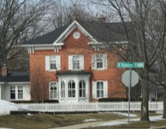 | Reynolds-Weed House | 5.2 miles | 1983 |
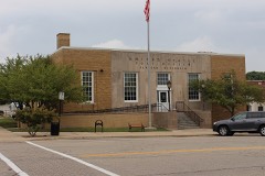 | Elkhorn Post Office | 5.3 miles | 2000 |
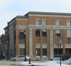 | Elkhorn Municipal Building | 5.3 miles | 2012 |
| Heart Prairie Norwegian Methodist Episcopal Church | 5.4 miles | 2023 | |
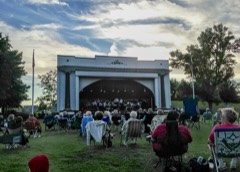 | Elkhorn Band Shell | 5.4 miles | 2012 |
 | Edward Elderkin House | 5.4 miles | 1974 |
| National Archives record | The nomination case file for reference 15000341 in Record Group 79. |
| Walworth County | All 50 listed properties in this county. |