 Block
From the record
13 National Register listings published here.
Sources: the National Register database, National Park Service
39 topographic sheets and 16 fire insurance atlases across 2 places.
13 National Register listings published here.
Sources: the National Register database, National Park Service
Taken for the Office of War Information and the Farm Security Administration, who photographed the country between 1935 and 1944. Works of United States government photographers, with no known restriction on use. Each opens its catalogue record.

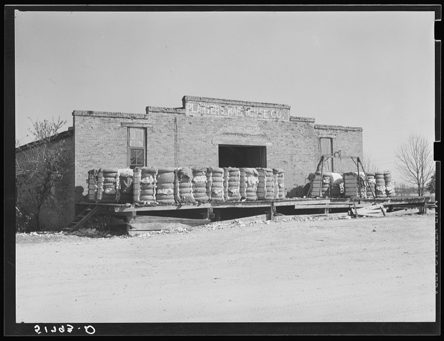
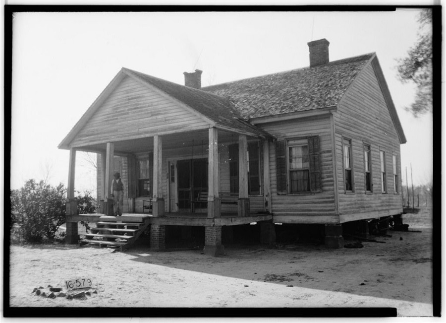
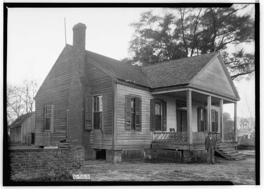
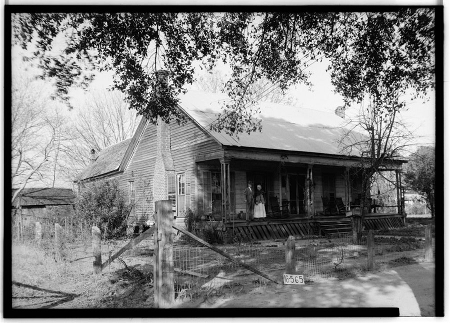
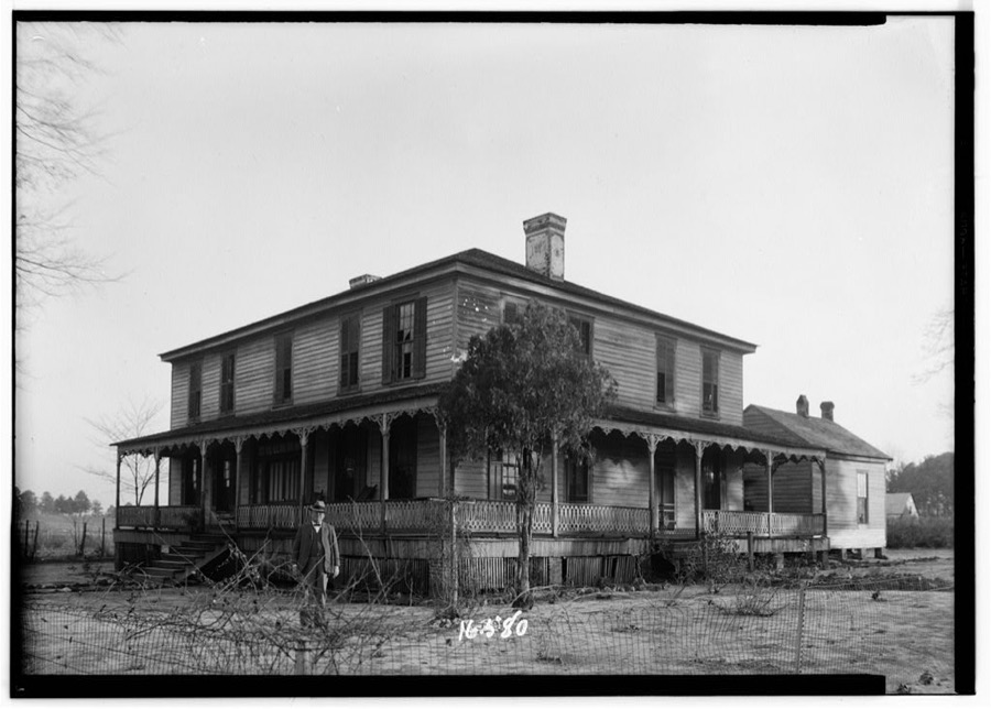
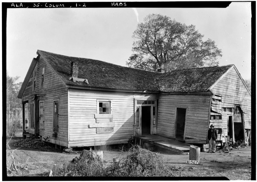
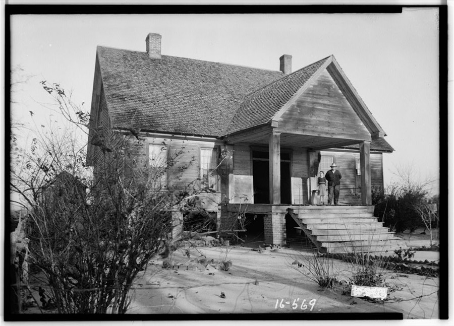
Every property in this county listed on the National Register of Historic Places, with the year it was listed and the federal nomination document.
| Photograph | Property | Type | Listed | Reference |
|---|---|---|---|---|
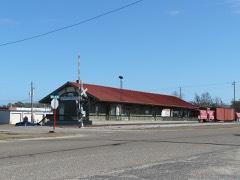 | Alabama Midland Railway Depot | building | 1985 | 85002163 |
| Ashford Commercial District | district | 2025 | 100011228 | |
| Atlantic Coastline Railroad Passenger Depot | building | 1994 | 93001519 | |
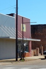 | Bank of Columbia | building | 2024 | 100009568 |
 | Dothan Municipal Light and Water Plant | building | 1991 | 90001315 |
 | Dothan Opera House | building | 1977 | 77000204 |
| Dupree School | building | 2024 | 100010471 | |
 | Federal Building and U.S. Courthouse | building | 1974 | 74000412 |
| Howell School | building | 2013 | 13000406 | |
| Main Street Commercial District | district | 1983 | 83002984 | |
| Moody Hospital | building | 2021 | 100007191 | |
 | Purcell-Killingsworth House | building | 1982 | 82001616 |
 | Water Works Standpipe | structure | 2016 | 16000835 |
Selected from the Digital Public Library of America's 1 image records catalogued for this county. Every one shown here carries a public-domain status or a licence that permits reuse on a site that carries advertising; non-commercial, share-alike and restricted images are excluded. The selection is spread across the county's towns (at most eight per town), so no single institution's bulk upload crowds out the rest. Each opens the holding library's record, and the complete set at the Digital Public Library of America is one click away.

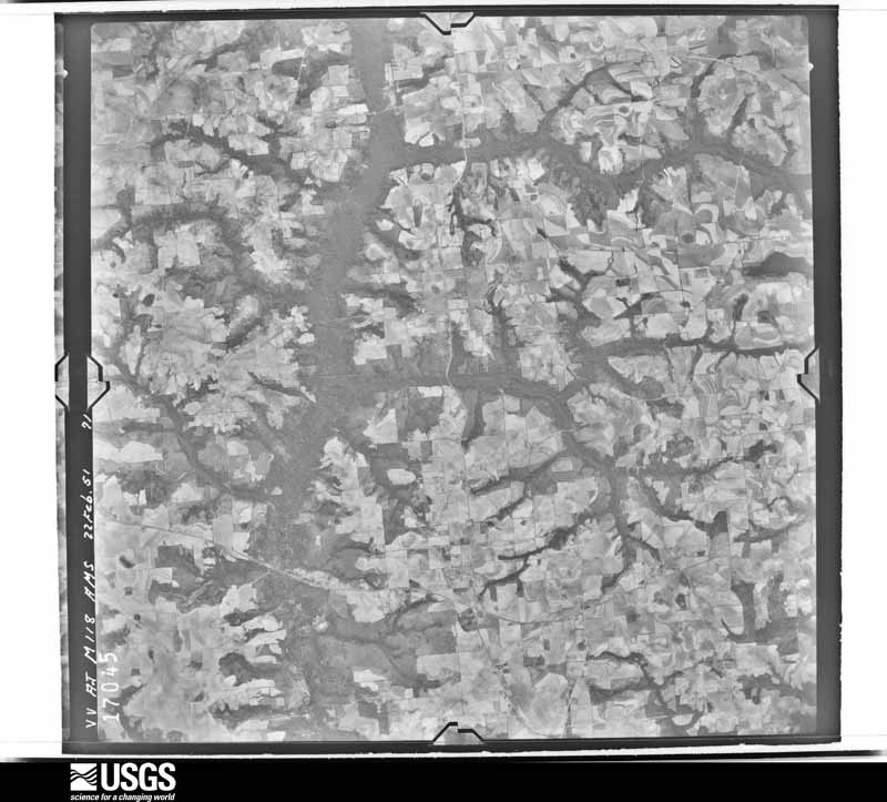
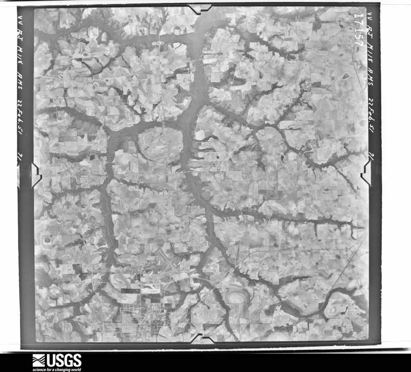
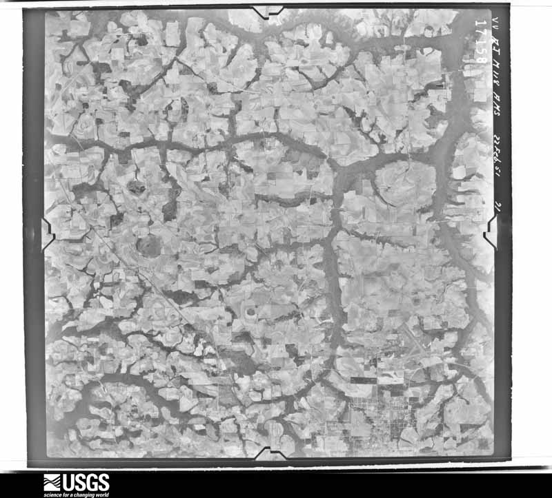
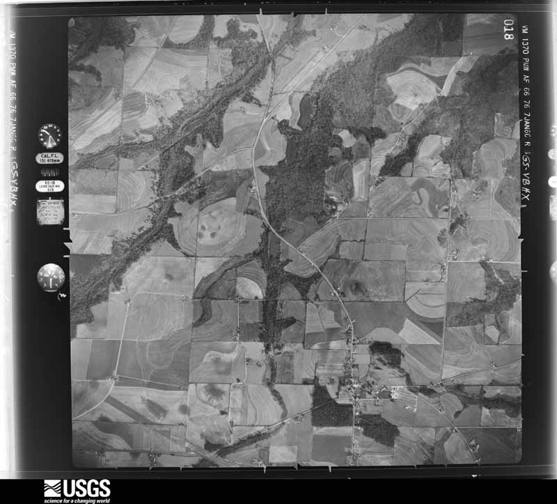
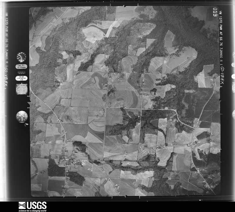
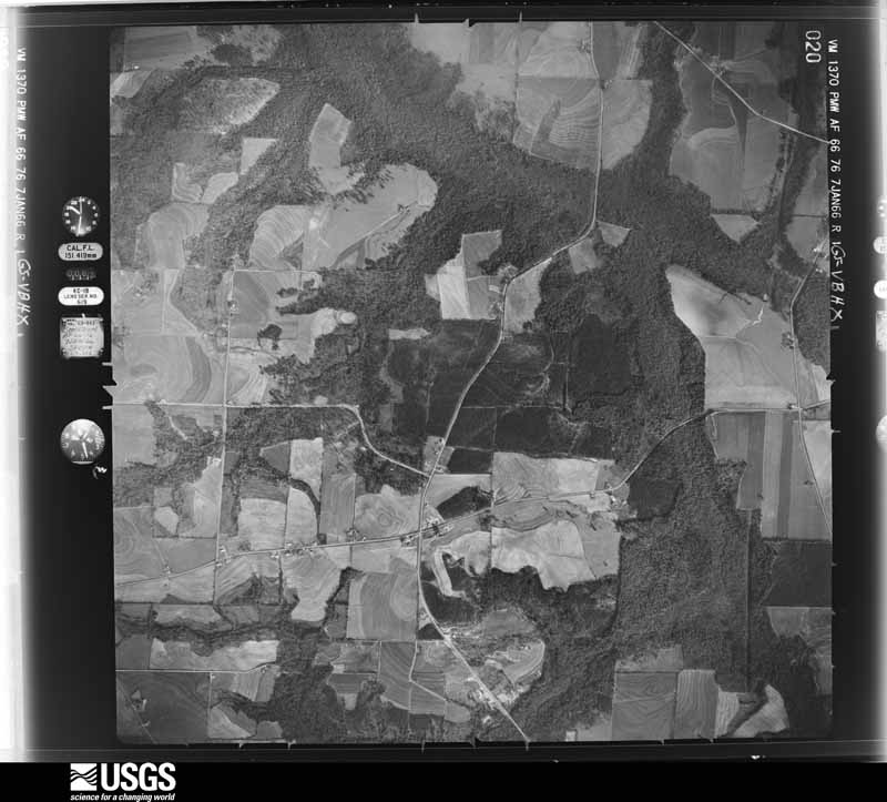
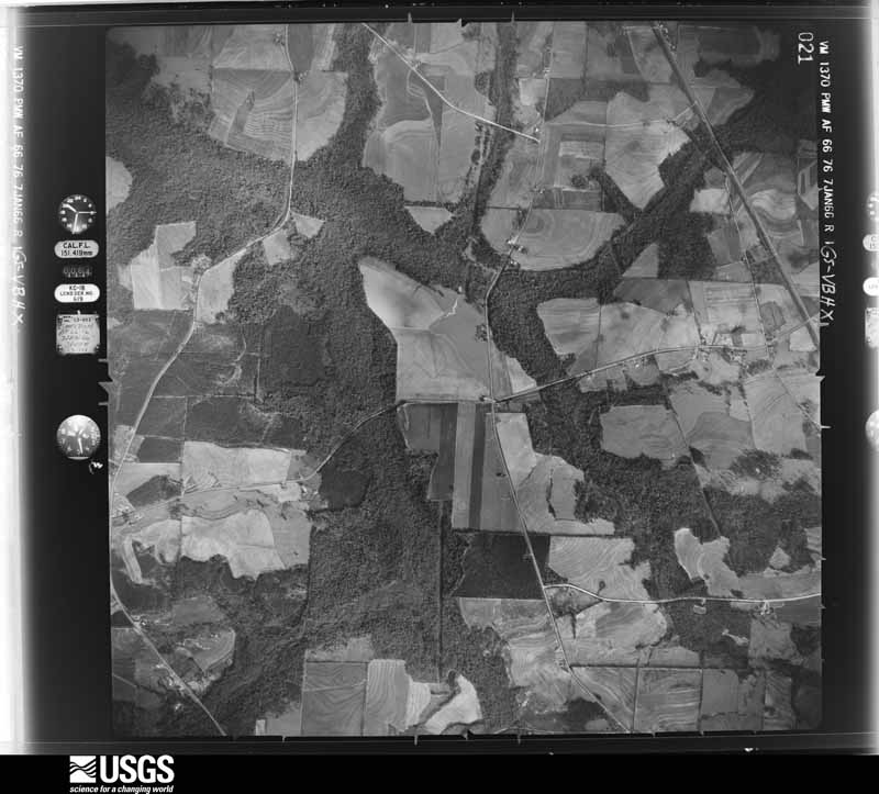
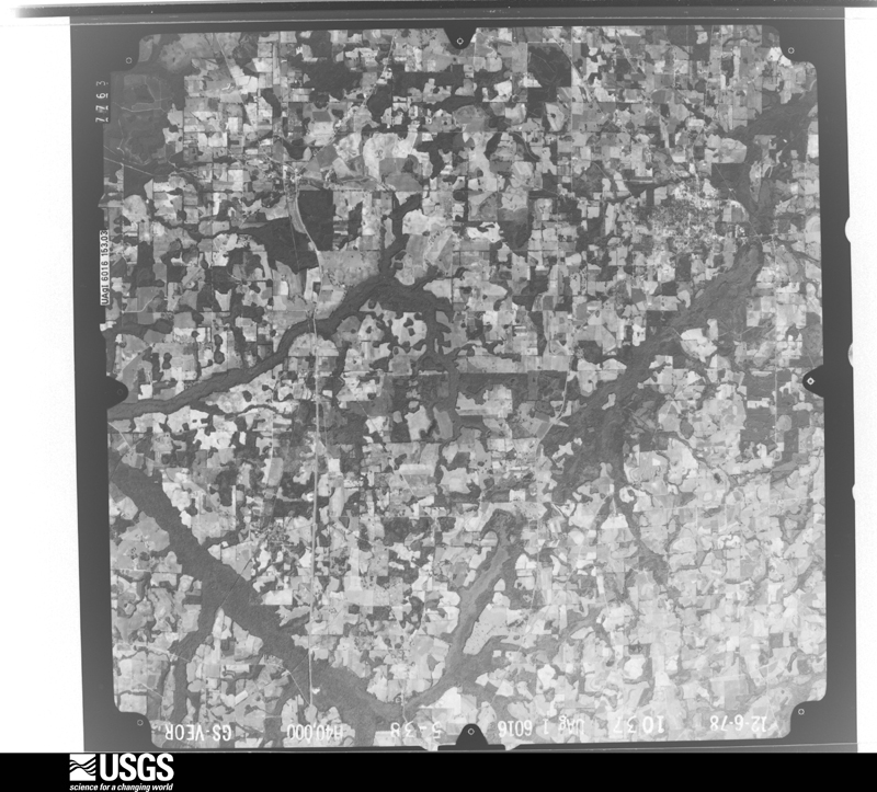
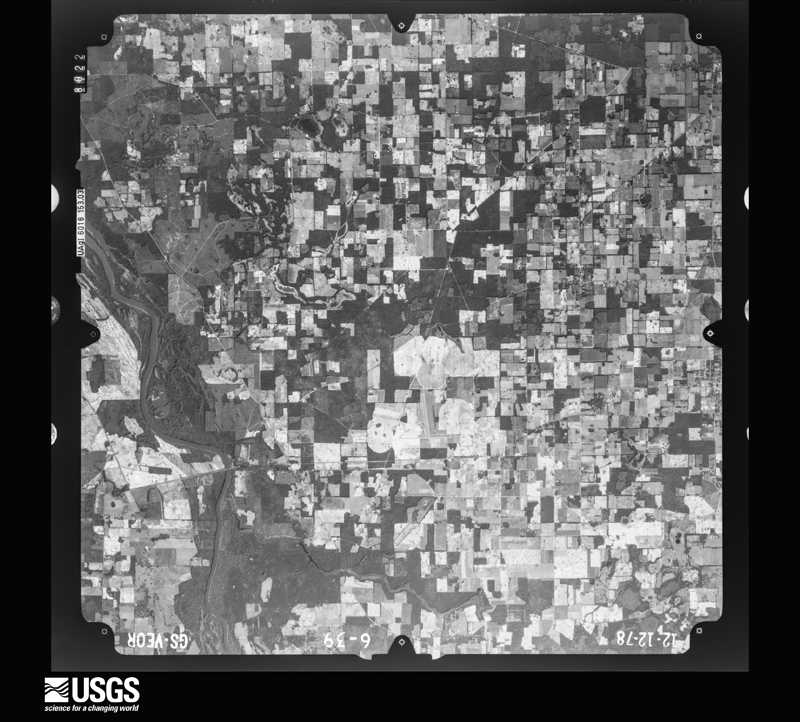
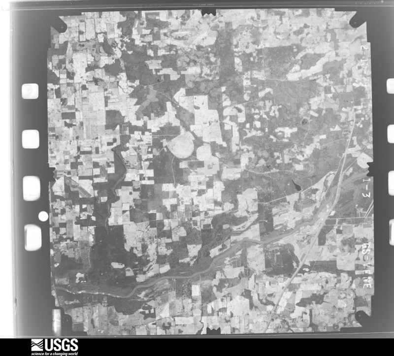
Flown by the U.S. Geological Survey between 1937 and 1989, the Aerial Photo Single Frames collection is the definitive mid-century view of the land: fields, roads and rivers as the camera saw them. The Survey holds 590 frames inside the rectangle that bounds this county; the 24 frames below were taken over the county itself, chosen across the decades of flights (at most four a year from that rectangle), so one flight cannot crowd out the rest. The full set is free to browse and download at EarthExplorer under the dataset Aerial Photo Single Frames.

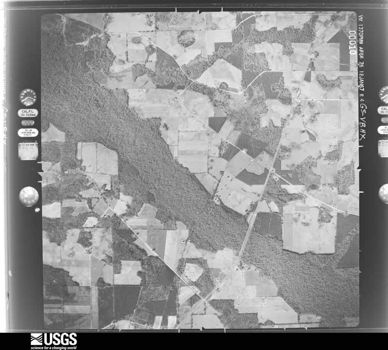
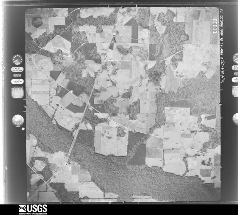
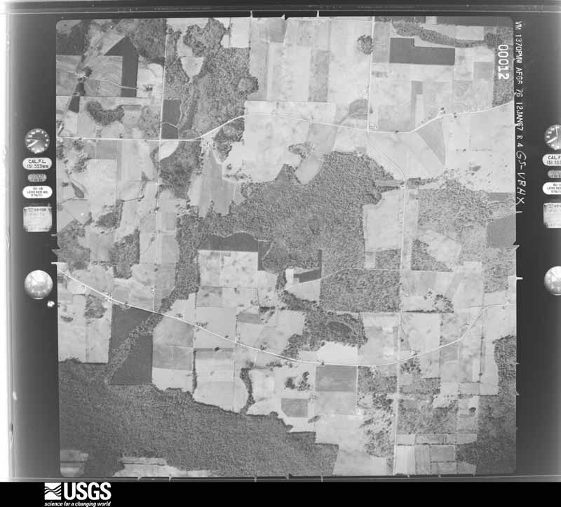
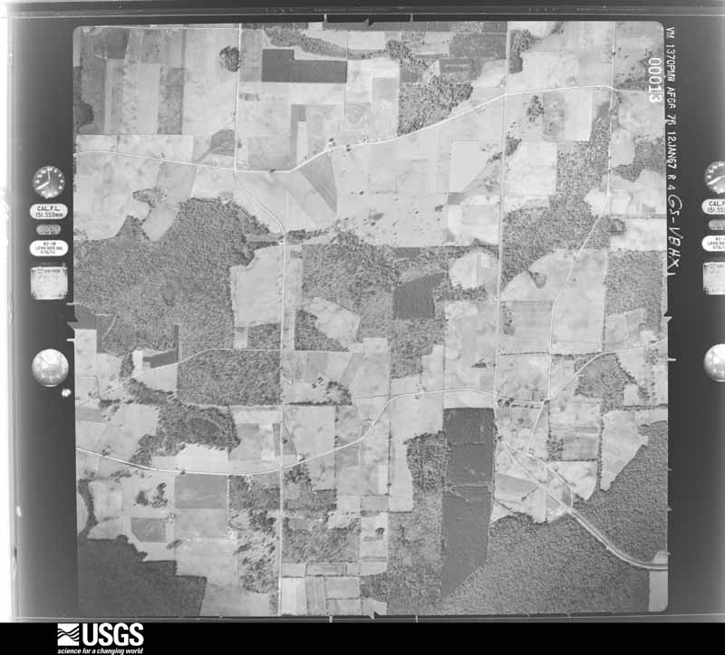
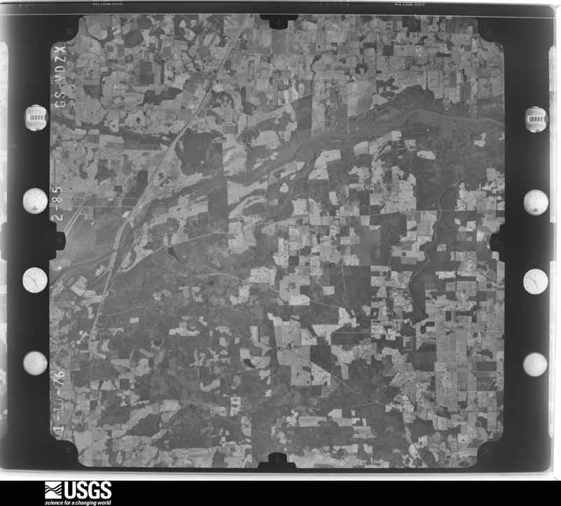
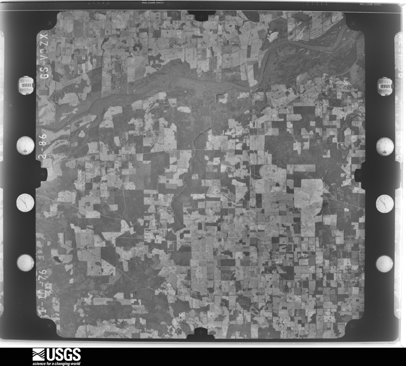

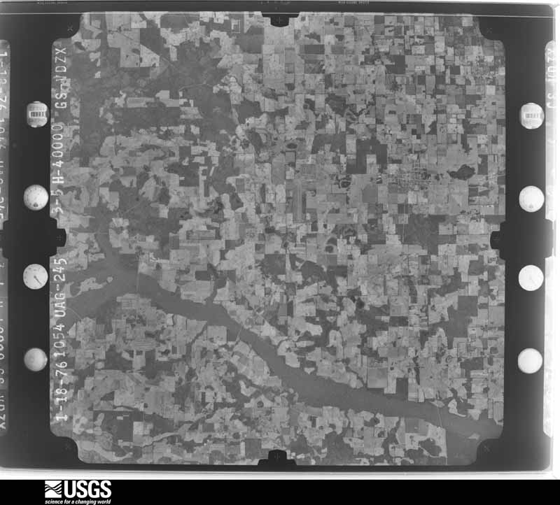
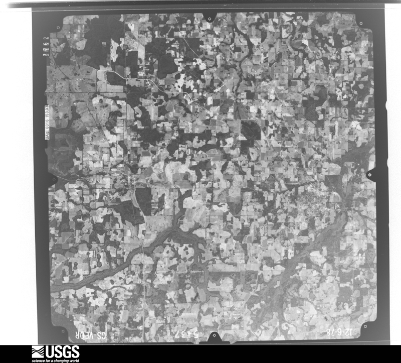




The thermometers that kept this county's weather, and the gages that measured the flow of its streams, as the federal records hold them. The extremes below are measured values from those records, not estimates.
Who lived here in 1950, one enumeration district at a time, as the Census Bureau described each district. Each row opens its official National Archives result, with Population Schedules and ED Maps available there.
Every wildfire the federal occurrence database records inside this county: 353 of them, burning about 2,928 acres. 12 started naturally and 28 were recorded as arson. Each settlement page carries the fires within five miles of it.
| Reported cause | Fires |
|---|---|
| Debris and open burning | 136 |
| Missing data/not specified/undetermined | 82 |
| Equipment and vehicle use | 39 |
| Arson/incendiarism | 28 |
| Recreation and ceremony | 17 |
| Smoking | 15 |
| Natural | 12 |
| Misuse of fire by a minor | 12 |
| Railroad operations and maintenance | 9 |
| Fireworks | 2 |
| Other causes | 1 |
The five largest, by the area the report gives. One of them was set deliberately.
| Date | Cause | Size | Reported by | Name on the report |
|---|---|---|---|---|
| 29 May 2011 | Missing data/not specified/undetermined | 312 acres | Alabama Forestry Commission | CUMBIE RD, AL |
| 7 November 2011 | Missing data/not specified/undetermined | 200 acres | Alabama Forestry Commission | BAYWOOD, AL |
| 7 July 2017 | Natural | 105 acres | Alabama Forestry Commission | 20170707-1 |
| 14 March 2014 | Missing data/not specified/undetermined | 85 acres | Alabama Forestry Commission | SER-20140314-002 |
| 11 November 2007 | Debris and open burning | 67 acres | Alabama Forestry Commission | not named |
| 4 May 2001 | Arson/incendiarism | 66 acres | Alabama Forestry Commission | not named |
| 9 January 1994 | Equipment and vehicle use | 60 acres | Alabama Forestry Commission | not named |
| 4 June 1999 | Natural | 57 acres | Alabama Forestry Commission | not named |
Every settlement page carries the fires within five miles of it - see the settlement index below.
The NOAA Storm Events Database holds 758 reports for this county, causing 7 deaths, 55 injuries and about $25,502,260 in recorded property damage. Each settlement page carries the reports that name it.
| Kind of event | Reports |
|---|---|
| Thunderstorm Wind | 510 |
| Hail | 93 |
| Flash Flood | 66 |
| Tornado | 62 |
| Flood | 11 |
| Lightning | 10 |
| Heavy Rain | 4 |
| Funnel Cloud | 2 |
The most serious of them, by death, then injury, then recorded damage. The accounts are quoted exactly as the forecast office filed them.
| When | Event | Place named | Harm | What the report says |
|---|---|---|---|---|
| January 2017 | Thunderstorm Wind | Merritts Crossroads | 4 killed, $100,000 | An NWS Survey Team determined that some damage in the Rehobeth area was caused by strong straight line winds on the southern flank of a tornado just to the north. Damage consisted of numerous large trees snapped or uprooted. One mobile home was split by a large tree, resulting in four fatalities. The damage pattern along this path was not convergent and was noticeably south of the path of the tornado vortex. Damage cost was estimated. |
| January 2024 | Tornado (EF2) | Madrid | 1 killed, 10 hurt, $6,000,000 | This is a continuation of the Jackson county tornado. The Houston county portion of the tornado is rated EF2 with max winds estimated at 130 mph. This tornado touched down in a swampy area, just east of Holmes Creek in northwest Jackson County. The tornado initially uprooted and snapped several softwood and hardwood trees, along Hickshill Road and in addition, it damaged an outbuilding there. The tornado continued northeast, damaging more hardwood and softwood trees along Piano Road. The first structure to be impacted by this tornado was a double-wide manufactured home on the northern side of Piano Road. Additional softwood and hardwood trees were snapped and uprooted along Danford Bay Road. Tree damage continued along Orchid Road, Damascus Church Road and Layton Road as the tornado continued to progress northeastward. An outbuilding was damaged along Orchid Road, and a single-family home suffered significant roof damage along Layton Road. The tornado then destroyed two ninety foot, seventy-year-old concrete silos. Damage was found along the entire length of Everett Road which was composed of the snapping and uprooting of trees, along with damage to an outbuilding and a mobile home succumbing to window damage. More trees were damaged along Heislar Road and Peanut Road as the tornado continued its northeastward trek. A single-family home on Peanut Road suffered significant roof damage. When the tornado reached Shiloh Church Loop, a single-family home suffered significant roof damage. The tornado continued to move northeast across Highway 2 where more softwood and hardwood trees were uprooted and snapped. Most of the damage to this point is classified as EF-1. Before the tornado crossed into Alabama, it damaged the roof of a small business on US-231. After crossing into Houston County Alabama, the tornado produced a continuous swath of damage on either side of State Line Road all the way towards the city of Cottonwood. This is also consistent of EF-1 damage. The first instance of EF-2 damage was when the tornado approached Cottonwood proper, along Ramer Loop rolling a single-wide mobile home, destroying it, despite it being well strapped. As the tornado moved through downtown Cottonwood, numerous small businesses sustained damage, ranging from blown out windows, roof damage and in one case the failure of the front-facing brick facade. Additional EF-2 damage occurred when the tornado removed the entire roof of a large two-story home. The tornado continued its northeastward jog, leaving Cottonwood proper, and commenced to destroy a two-story Moose Lodge that was composed of cinder-blocks resulting in another instance of EF-2 damage. The most significant tree damage noted on this survey occurred when the tornado paralleled Dyers Road, thus snapping numerous hardwood and softwood trees. The most significant damage along this northeastward path occurred on September Road where a double-wide home was completely destroyed, and resulted in one fatality. As the tornado continued to move northeast to across Whitaker Road and Creek Church Road, EF-1 tree damage was noted. The tornado caused mainly EF-0 damage to softwood and hardwood trees along Green Frog Road and Ed Tolar Road. One last structural damage occurred to a single-family home where it caused significant roof damage before lifting near the Chattahoochee River. In summary, while most damage was EF-1, there were instances of EF-2 damage with the max wind of 130 mph. In addition to the one fatality, there were also ten direct injuries from the tornado and an additional six indirect injuries during the response phase of the disaster, all in the Cottonwood area. Thanks to Houston County and Jackson County Emergency Management for assistance with this damage survey. |
| July 2017 | Lightning | Keytons | 1 killed | A 16 years old boy was standing on the porch of his home when a nearby tree was struck by lightning off Willie Varnum Road. The lightning then jumped from the tree to the boy, killing him. |
| June 2013 | Thunderstorm Wind | Farley Nuclear Plant | 1 killed | A 49 year old male was killed when an inflatable that looked like a castle came loose from its moorings during at thunderstorm and a pipe struck him in the head. There was no other damage reported in the immediate vicinity, so it was likely that this was associated with sub-severe wind speeds. |
| March 1993 | Thunderstorm Wind | not stated | 6 hurt | At Wicksburg, strong thunderstorm winds destroyed a mobile home. Two other mobile homes, eight houses, and five barns were also severely damaged. |
| February 1981 | Tornado (F1) | not stated | 5 hurt, $2,500,000 | no account filed |
| March 2025 | Tornado (EF1) | Dothan | 5 hurt, $500,000 | A tornado touched down in Dothan, AL and produced EF-1 damage along its entire length. The maximum winds were estimated to be 105 mph. The tornado initially touched down near Rimson Rd. and then travelled east northeast along Southland Dr. Damage began to become less scattered as the tornado crossed South Bell Dr., continuing to snap and uproot trees, a few of which fell on homes. The tornado then entered a business district where it did substantial damage to the Dothan Preparatory Academy. Several sections of the roof were removed and several windows were broken. Unfortunately, a few students suffered minor injuries when a portion of the gymnasium s roof was removed. Some of the roof was found blocks away. The tornado was at its widest after crossing U.S. 231. Several small businesses and a warehouse had windows blown out and sections of their roofs removed. There were also several power poles snapped in this vicinity. The tornado then proceeded east northeast through residential neighborhoods, snapping and uprooting trees. Once again, some fell on houses and one crushed a car. The track went down Chalker St. and then along or north of East Selma St. The tornado damaged the roof of a doctor s office on Haven Dr. and then uprooted a few trees before lifting just shy of Southeast Alabama Medical Center. |
| December 1997 | Tornado (F2) | Wicksburg | 5 hurt, $500,000 | Tornado skipped through a mobile home park along County Road 9 and Market Street. Two mobile homes destroyed with more than a dozen damaged. Large power poles and trees toppled. Winds overturned small airplane off County Road 81 near Harmon School. A large tree blown onto a house on County Road 75. Residence destroyed on Alabama Highway 84 West in Wicksburg. |
| March 1980 | Tornado (F2) | not stated | 5 hurt, $250,000 | no account filed |
| March 2005 | Tornado (F2) | Pansey | 4 hurt, $750,000 | A tornado touched down about a half mile west of Firetower Road. As it traveled northeast, it destroyed three barns on County Road 81, and destroyed two large homes just north of Turnpike Road. Four people were injured and transported to a hospital in Dothan. Several mobile homes were damaged, with numerous trees and power lines down. The storm survey was conducted by the NWS Tallahassee WCM and SOO. |
| October 1997 | Tornado (F1) | Wicksburg | 2 hurt, $250,000 | F1 tornado damaged approximately 12 homes. Numerous trees and power lines down. A van was overturned by high winds. Both occupants suffered minor injuries. |
| February 2018 | Thunderstorm Wind | Madrid | 2 hurt, $100,000 | Six mobile homes were damaged due to high winds. One of the mobile homes blew over and sustained major damage. This resulted in 2 minor injuries. |
| April 2011 | Thunderstorm Wind | Dothan | 2 hurt, $100,000 | Numerous trees and power lines were blown down across the county. Ten structures were damaged and 2 minor injuries occurred from trees falling on homes. The monetary damage figure provided is a rough estimate. |
| October 1995 | Tornado (F1) | Dothan | 2 hurt, $90,000 | A tornado downed trees and damaged two businesses. A person was injured at each business. (Length and width are estimated.) |
| March 2021 | Tornado (EF1) | Hollis Dairy Rd | 1 hurt, $200,000 | The tornado first began east of Wicksburg and east of the Houston/Geneva county line where scattered tree limbs where reported by the emergency manager. The tornado then strengthened and hit several structures on a farm where damage was confined to ripped roof paneling and other similar damage. The tornado then traveled northeast towards US-84. It was in these locations that the tornado was likely at its peak strength as it moved across Marshall Rd and into the Highlands Subdivision along Highway 84. Along Marshall Rd, a double wide sustained significant roof covering loss, a large carport over a RV was completely destroyed, and a out building nearby was missing nearly its entire roof with some walls partially collapsed. The tornado also briefly picked up a boat, with trailer, and rolled/rotated it 180 degrees on the trailer before being laid to rest nearly 75-100 yards from its original location. EF-1 damage was again observed in the Highlands Subdivision south of US Highway 84. Two homes sustained roof damage with one home sustaining partial roof loss on the second story. Many pine trees near this house were also snapped or uprooted. While these were the only homes with notable damage in the community, there was a path of widespread tree damage through the rest of the neighborhood. The tornado then crossed US-84 where damage became more isolated with a few downed trees and broken branches. The tornado is then estimated to have lifted just northeast of North Brannon Stand Rd. Max winds were estimated around 100 mph. The NWS thanks Houston County EM Chris Judah for his assistance during this survey. |
| May 1994 | Thunderstorm Wind | Dothan | 1 hurt, $50,000 | Five trees were reported downed on Highway 109 south of Dothan with a minor injury to the occupant of a car. |
| June 1998 | Thunderstorm Wind | Countywide | 1 hurt, $15,000 | Estimated 50 to 60 mph straight-line winds downed numerous trees and power lines. Numerous power outages reported. |
| September 2011 | Thunderstorm Wind | Dothan | 1 hurt, $5,000 | A tree was blown down onto a house with injuries on Ross Clark Circle SE. The monetary damage figure provided is a rough estimate. |
| April 2020 | Thunderstorm Wind | Ardilla | 1 hurt | A tree was blown down onto a house with one minor injury. |
| June 2002 | Lightning | Cottonwood | 1 hurt | A woman was injured when she was struck by lightning. Reported by the Houston County EMA. |
| July 1999 | Lightning | Dothan Arpt | 1 hurt | A man was injured by lightning as he stood next to an aircraft. |
| November 1989 | Tornado (F1) | not stated | $2,500,000 | no account filed |
| April 2015 | Thunderstorm Wind | Dothan | $2,200,000 | Numerous trees and power lines were blown down across Dothan. At the peak, 40,000 customers were without power. Structural damage occurred to Houston County Farm Center with a preliminary damage assessment of major damage to 33 homes and minor damage to 115 homes. Also some cars had trees on them. The assessment listed the damage total at over $2.2 million. No injuries occurred in the storm itself, but 3 minor injuries occurred during cleanup. |
| December 2015 | Flood | Columbia | $891,000 | Significant river flooding along the Chattahoochee River and heavy rainfall in the county resulted in flood damages estimated at $891,000 in Houston county. Of that amount, $500,000 was due to damage at the Columbia and Gordon boat landings along the Chattahoochee River, $366,000 was due to damage to roads and bridges in the county, and $25,000 was due to damage to the Omussee Park building. |
| April 2014 | Flood | Columbia | $818,460 | Persistent moderate to heavy rain falling on saturated ground from previous heavy rain during the month led to numerous flooded roads across the county. Most of the damage was caused by dirt road washouts and cross-drain wash outs. Some roads affected included: Bruner Pond, Willie Varnum, Nobles, Ludlum, Cobb, Silcox, Hollis Dairy, Jimbo, Willie Raley, Pine Acres, Goodson, Lamp Bros, Jimmy Harper, Dock Lamb, JD Love, NCR75, Sowell, Stone Bluff, Davis Cherry, Iris, Barfield, and roads around the Chattahoochee State Park area. Road damage was estimated at $818,455. |
| February 2013 | Flood | Wicksburg | $760,000 | Flash flooding transitioned to widespread areal flooding across the county with numerous roads and bridges damaged. Emergency management estimated damage in the county at $760,000, all due to road damage. |
| July 2022 | Lightning | Harmon | $500,000 | A lightning strike resulted in a house fire that destroyed a house at 483 Charles Road in the Pansey area. The resident heard the pop twice and stated that he felt vibrations and heat go through the game controls he was holding in the living room downstairs. He stated the flames started quickly and expanded throughout the house. |
| January 2017 | Tornado (EF2) | Taylor | $500,000 | A tornado touched down in Geneva County near the Houston County border along Rehobeth Road before lifting after crossing US 231 just east of the National Peanut Festival Grounds in Houston county. In Geneva County, the tornado debarked and denuded several large trees and removed the roof from a home under construction. In addition, numerous trees were snapped or uprooted. In Houston County, the most significant damage occurred at the National Peanut Festival grounds. Multiple buildings were damaged or destroyed and several utility poles were snapped. This tornado was rated EF1 in Geneva county and EF2 in Houston county. Max winds in Houston county were estimated at 115 mph. Damage cost was estimated. |
| March 2009 | Flash Flood | Peterman | $500,000 | Extensive flooding was reported in and around Dothan. Some roadways were covered with up to six feet of water. Several homes had up to two feet of water inside. Residents of several apartment buildings were evacuated. |
| September 1980 | Tornado (F1) | not stated | $250,000 | no account filed |
| July 1979 | Tornado (F0) | not stated | $250,000 | no account filed |
| February 2021 | Lightning | Lucy | $150,000 | The Lucy Fire Department Facebook page reported a residential structure fire due to lightning with significant damage. |
| June 2004 | Thunderstorm Wind | Countywide | $150,000 | Numerous downed trees and power lines countywide. Several vehicles were damaged by fallen trees. In Dothan, many homes were damaged by fallen trees. Reported by the Houston County EMA. |
| November 2004 | Thunderstorm Wind | Rehobeth | $150,000 | Straight-line thunderstorm winds downed numerous trees and power lines, damaged roofs and outbuildings, and damaged the athletic fields and stadium of a middle school. One vehicle was damaged by a fallen tree. Reported by the Houston County EMA. |
| October 1997 | Tornado (F1) | Gordon | $150,000 | F1 tornado moved across Houston County Road 85. Two homes sustained extensive roof damage. A semitractor trailer was overturned. Numerous trees and power lines down in Ashford and Gordon. |
| January 1997 | Thunderstorm Wind | Countywide | $150,000 | no account filed |
| January 2024 | Tornado (EF1) | Memphis | $100,000 | A tornado touched down near Sowell Road west of Willie Varnum Road, causing damage to trees and a farm building. The tornado continue northeast, crossing Willie Varnum Road, causing significant tree damage, supportive of an EF-1 rating with max winds estimated near 90 mph. The tornado also damaged the roofs of several homes along Willie Varnum Road before dissipating before reaching Cottonwood Road. Thanks to Houston County, Alabama Emergency Management for assistance with this survey. |
| February 2024 | Flash Flood | Enon | $100,000 | Water entered a few homes on Academy Drive in Ashford. |
| March 2023 | Tornado (EF0) | Barber | $100,000 | A tornado developed just west of County Road 55 in eastern Houston County. The tornado caused the collapse of a wooden storage building and destroyed a metal outbuilding. Minor damage was noted to the roof and siding of several single family homes at this location. Minor tree damage was also seen. Several miles to the east along County Road 75, a large, but diseased pine tree was toppled onto a double-wide manufactured home causing significant damage. Between the two locations, there was minor tree damage and debris. Overall, the damage was consistent with an EF0 tornado with peak winds of approximately 80 mph. Thanks to Houston County Emergency Management and the Ashford Fire Department for their assistance with the survey. |
| August 2023 | Thunderstorm Wind | Dothan | $100,000 | There were at least 25 areas with trees down within the city of Dothan. |
| January 2017 | Tornado (EF1) | Ardilla | $100,000 | An EF1 tornado with max winds near 100 mph touched down along E. Cottonwood Road SE of Dothan, AL. The tornado traveled east for approx. 2.5 miles along McCallister Road before lifting near Rosewood Dr. One home had its roof removed. Others had significant shingle damage which supported the EF1 rating. Damage cost was estimated. |
| April 2015 | Tornado (EF1) | Madrid | $100,000 | This is a continuation of the long track tornado that started in Jackson county, FL. Along the Houston county portion the track, numerous trees and power lines were blown down. One home in the Cottonwood area was damaged by a tree falling on the structure. In the Pansey area, a large metal outbuilding was destroyed with some of the debris removed from the foundation. The damage path began to widen at this point while approaching the Chattahoochee River and entering Early county, GA. The Alabama portion of the tornado track was rated EF1. |
| March 2005 | Thunderstorm Wind | Southeast Portion | $100,000 | A mobile home and two semis were destroyed, along with numerous downed trees on Springhill Road. Reported by the Houston County EMA. |
| July 2004 | Thunderstorm Wind | Countywide | $100,000 | Widespread downed trees and power lines, as well as damaged mobile home roofs in Rehobeth, Taylor and Ashford. Nearly 2700 customers were without power. Several state and county roads were blocked by debris. Reported by the Houston County EMA. |
| June 1995 | Thunderstorm Wind | Madrid | $80,000 | Trees were reported down and shingles blown off a roof near Madrid in southwest Houston County. Five houses were damaged including one that was nearly destroyed. The wind was also believed responsible for blowing a car across the median causing a head-on collision on U.S. 231. |
| March 2026 | Tornado (EF1) | Kinsey | $75,000 | A tornado touched down on Waldon Road south of Kinsey, AL where a home sustained very minor shingle damage. As the tornado travelled east along Lynn Jarvis Road, it tore the roof off a small shed. and snapped a tree. The tornado strengthened to an EF1 as it approached Glenwood Estates, uprooting and snapping several trees within that community. As the tornado approached Gilly Mill Road, it was nearing peak intensity as it lifted an outbuilding vertically from its moorings and tossed it into a tree. The tornado then weakened and possibly briefly lifted before damaging an awning on Randall Wade Road. The tornado then lifted near CR 55, but not before snapping support posts of a large outbuilding, including repurposed telephone poles, allowing the entire structure to shift several feet. This movement toppled a concrete structure within the outbuilding. Maximum sustained winds were estimated to be 110 mph. |
| May 2024 | Tornado (EF0) | Memphis | $75,000 | A tornado touched down along Hooper Cherry Road early on the morning of May 10th. Initial damage was to trees. Additional damage occurred along A.J. Register Road, where significant damage to outbuildings was noted. The tornado continued southeastward, crossing Cottonwood Road near County Road 33. Roof damage to farm buildings was observed here. Additional tree and roof damage was noted along Gene Terry Road south of Nobles Road. The tornado dissipated shortly after this point. The damage was consistent with an EF-0 rating and maximum winds of approximately 85 mph. Special thanks to Houston County EMA for assistance with this damage survey. |
| April 2022 | Tornado (EF0) | Taylor | $75,000 | This is a continuation of a tornado that started in Geneva county. An EF0 tornado initially tracked through portions of Malvern, AL. The path began near Firecracker Road where some minor damage was found. The tornado then crossed the Magnolia Grove Mobile Home Community along Wynwood Ln where more notable damage occurred. The stairway of one home was displaced about 5 ft from the front door. An adjacent mobile home suffered major roof loss, while another near the community entrance had a wooden projectile impale its side. The tornado then caused some damage along County Road 93 between Malvern Highway and East College Avenue where mostly broken tree limbs were found. Additional damage occurred in portions of Rehobeth along Branton Road near South Park Avenue, mostly to a few outbuildings with a large uprooted tree leaning against a home. The end point is near Porter Road just off County Road 203 where two large oak trees were uprooted at two neighboring properties. One large tree trunk also snapped and fell on top of a home's living room. The max estimated winds were 85 mph. |
| February 2016 | Tornado (EF1) | Kelly Springs | $75,000 | This was the fourth tornado to develop in northwest Houston county, spawned by the same thunderstorm. The tornado began just south of Westgate Parkway, and then quickly intensified, snapping 5 power poles near Westgate Parkway and Technology Drive. Several houses in nearby neighborhoods had some roof damage and a barn also had roof damage. The remainder of the track was mostly tree damage with the tornado ending just south of the Henry-Houston county border, still in Houston county. This tornado was rated EF1 with max winds estimated near 100 mph. Damage cost was estimated. |
| August 2008 | Tornado (EF1) | Gordon | $75,000 | A tornado briefly touched down just south of Gordon. A mobile home along East County Road 8 was destroyed when an uprooted tree crashed on top of it. There were several trees with their tops snapped off along the tornado's short path. |
| October 2008 | Tornado (EF0) | Wicksburg | $75,000 | A fast-moving supercell spawned a tornado just north of U.S. Highway 84 near the intersection of State Road 123, where it destroyed a barn. It then moved to the northeast, and damaged a few vehicles at an auto dealership and uprooted some trees near the Dale-Houston county line. It crossed from western Houston County into southeastern Dale County, and remained on the ground for nearly a mile before lifting. The tornado was rated an EF-0. |
| December 2002 | Thunderstorm Wind | Countywide | $75,000 | Downed trees and power lines on Highway 123 in Wicksburg, as well as on Eddings and Bonham Roads, just west of Dothan. A trailer was overturned in Memphis. A few mobile homes were damaged in Ashford. Reported by the Houston County EMA. |
| March 2002 | Thunderstorm Wind | Northwest Portion | $75,000 | A tree fell on a house in Dothan. A tree fell on a barn, and a shed was blown over in Wicksburg. A tree fell on a mobile home in north Dothan. Reported by the Houston County EMA. |
| February 1998 | Tornado (F0) | Taylor | $75,000 | 52 homes in Landview Subdivision sustained wind damage to shingles, fences, awnings, storage sheds, and porches. Some trees and power lines down. Several public sightings of a funnel cloud. |
| April 2022 | Tornado (EF0) | Cowarts | $50,000 | A third tornado briefly swept through a small area in Cowarts, along the north side of US-84. The main damage were a few uprooted large trees, a couple of which fell onto the side of a home and on top of a parked car. Other trees in the vicinity sustained more minor damage and a couple of neighboring outbuildings had some roof panels stripped. These damages are consistent with an EF0 with max winds estimated at 85 mph. |
| April 2020 | Tornado (EF1) | Green Acres | $50,000 | A tornado touched down in northwest Houston County on Bob Hall Road, just south of Ariel Lane. Here it damaged the roof of a home and tore a portion of the roof off of a storage facility. It tracked southeast and damaged the roof of approximately eight|homes in a neighborhood along Nottingham Way. The tornado continued to the southeast and downed trees along Harrington Lane where it quickly lifted. |
| February 2016 | Tornado (EF1) | Kelly Springs | $50,000 | This was the third tornado to develop in northwest Houston county, spawned by the same thunderstorm. Damage was focused at the athletic center of a private school and a nearby neighborhood. A concrete block baseball dugout was destroyed and several wood power poles were snapped. Multiple homes had minor roof damage. This tornado was rated EF1 with max winds near 100 mph. Damage cost was estimated. |
| February 2016 | Thunderstorm Wind | Rehobeth | $50,000 | Roof damage occurred to some homes in the Rehobeth area. Damage was estimated. |
| February 2016 | Tornado (EF0) | Wicksburg | $50,000 | This was a weak tornado just north of the Houston and Geneva county border. It removed metal roofing from several barns and porches. Multiple trees were blown down. This tornado was rated EF0 with max winds estimated near 70 mph. Damage cost was estimated. |
| February 2014 | Thunderstorm Wind | Memphis | $50,000 | Large trees were blown down in the 5500 Block of Hodgesville Road with some cars crushed under car ports. Power lines were also blown down. Monetary damage was estimated. |
The Survey's mineral resources record lists 69 workings inside this county. 13 still produce and 56 are closed or unrecorded. Each settlement page carries the workings within five miles of it.
| Commodity | Workings |
|---|---|
| Iron | 54 |
| Sand and Gravel, Construction | 12 |
| Clay, Sand and Gravel, Construction | 1 |
| Silica | 1 |
| Limestone, General | 1 |
The least common of them first, because a county's hundredth gravel pit says nothing its first ten did not.
| Where | Site | Commodity | Status | Recorded |
|---|---|---|---|---|
| Box Quarry | Clay, Sand and Gravel, Construction | Producer | Unconsolidated Sediments | |
| Jackson Creek Limestone Prospect | Limestone, General | Prospect | ||
| Unnamed Quarry | Silica | Producer | Quartz | |
| Chattahoochee Sand Pit | Sand and Gravel, Construction | Producer | ||
| Clayhatchee R. Pit | Sand and Gravel, Construction | Producer | ||
| Columbia Pit | Sand and Gravel, Construction | Past Producer | ||
| Couch Construction Co. Pit | Sand and Gravel, Construction | Producer | ||
| Couch Number 6 Quarry | Sand and Gravel, Construction | Producer | Quartz | |
| Lingo Pit | Sand and Gravel, Construction | Producer | ||
| Phattahoochee Sand Pitmec | Sand and Gravel, Construction | Producer | ||
| Reese Quarry | Sand and Gravel, Construction | Producer | Quartz | |
| Reese Quarry | Sand and Gravel, Construction | Producer | Quartz | |
| Roy J. Lingo Sand Co. Pit | Sand and Gravel, Construction | Producer | ||
| Thomas Quarry | Sand and Gravel, Construction | Producer | Quartz | |
| Unnamed Quarry | Sand and Gravel, Construction | Producer | Quartz | |
| Unnamed | Iron | Unknown | ||
| Unnamed | Iron | Unknown | ||
| Unnamed | Iron | Unknown | ||
| Unnamed | Iron | Unknown | ||
| Unnamed | Iron | Unknown | ||
| Unnamed | Iron | Unknown | ||
| Unnamed | Iron | Unknown | ||
| Unnamed | Iron | Unknown | ||
| Unnamed | Iron | Unknown | ||
| Unnamed | Iron | Unknown | ||
| Unnamed | Iron | Unknown | ||
| Unnamed | Iron | Unknown | ||
| Unnamed | Iron | Unknown | ||
| Unnamed | Iron | Unknown | ||
| Unnamed | Iron | Unknown | ||
| Unnamed | Iron | Unknown | ||
| Unnamed | Iron | Unknown | ||
| Unnamed | Iron | Unknown | ||
| Unnamed | Iron | Unknown | ||
| Unnamed | Iron | Unknown | ||
| Unnamed | Iron | Unknown | ||
| Unnamed | Iron | Unknown | ||
| Unnamed | Iron | Unknown | ||
| Unnamed | Iron | Unknown | ||
| Unnamed | Iron | Unknown | ||
| Unnamed | Iron | Unknown | ||
| Unnamed | Iron | Unknown | ||
| Unnamed | Iron | Unknown | ||
| Unnamed | Iron | Unknown | ||
| Unnamed | Iron | Unknown | ||
| Unnamed | Iron | Unknown | ||
| Unnamed | Iron | Unknown | ||
| Unnamed | Iron | Unknown | ||
| Unnamed | Iron | Unknown | ||
| Unnamed | Iron | Unknown | ||
| Unnamed | Iron | Unknown | ||
| Unnamed | Iron | Unknown | ||
| Unnamed | Iron | Unknown | ||
| Unnamed Deposit | Iron | Occurrence | ||
| Unnamed Deposit | Iron | Occurrence | ||
| Unnamed Deposit | Iron | Occurrence | ||
| Unnamed Deposit | Iron | Occurrence | ||
| Unnamed Deposit | Iron | Occurrence | ||
| Unnamed Deposit | Iron | Occurrence | ||
| Unnamed Deposit | Iron | Occurrence | ||
| Unnamed Deposit | Iron | Occurrence | ||
| Unnamed Deposit | Iron | Occurrence | ||
| Unnamed Deposit | Iron | Occurrence | ||
| Unnamed Deposit | Iron | Occurrence | ||
| Unnamed Deposit | Iron | Occurrence | ||
| Unnamed Iron Deposit | Iron | Occurrence | ||
| Unnamed Iron Deposit | Iron | Occurrence | ||
| Unnamed Iron Deposit | Iron | Occurrence | ||
| Unnamed Iron Deposit | Iron | Occurrence |
Named settlements recorded in the Geographic Names Information System, each with the topographic sheets covering it. Villages, hamlets and abandoned places alike. Each is shown with the nearest named watercourse or landform and the survey quadrangle it falls on. The 2 places that were also surveyed for fire insurance come first, with the number of atlases and photographs held for them.
Columbia census division · 36319 · On Omusee Creek · Columbia quadrangle
9 sheets, 1953 to 1981
Fire insurance: 7 atlases
Dothan census division · 36301 · Dothan West quadrangle
8 sheets, 1953 to 1981
Fire insurance: 9 atlases
Gordon census division · 36343 · On Howards Mill Creek · Gordon quadrangle
9 sheets, 1953 to 1981
Dothan census division · 36303 · On Beulah Creek · Midland City quadrangle
8 sheets, 1953 to 1981
Dothan census division · 36301 · On Folkes Branch · Dothan West quadrangle
8 sheets, 1953 to 1981
Dothan census division · 36303 · On Folkes Branch · Dothan West quadrangle
8 sheets, 1953 to 1981
Dothan census division · 36301 · On Folkes Branch · Dothan West quadrangle
8 sheets, 1953 to 1981
Madrid census division · 36320 · On Coopers Bay Creek · Madrid quadrangle
8 sheets, 1953 to 1981
Dothan census division · 36305 · On Murphy Mill Branch · Dothan West quadrangle
8 sheets, 1953 to 1981
Dothan census division · 36303 · On Newton Creek · Dothan West quadrangle
8 sheets, 1953 to 1981
Dothan census division · 36303 · On Rock Creek · Midland City quadrangle
8 sheets, 1953 to 1981
Dothan census division · 36303 · On Rock Creek · Dothan West quadrangle
8 sheets, 1953 to 1981
Dothan census division · 36301 · On Folkes Branch · Dothan West quadrangle
8 sheets, 1953 to 1981
Madrid census division · 36305 · On Pinhook Creek · Dothan West quadrangle
8 sheets, 1953 to 1981
Madrid census division · 36375 · On Big Branch · Madrid quadrangle
8 sheets, 1953 to 1981
Dothan census division · 36303 · On Rock Creek · Midland City quadrangle
8 sheets, 1953 to 1981
Gordon census division · 36343 · On Guy Branch · Grangeburg quadrangle
8 sheets, 1953 to 1981
Dothan census division · 36305 · On Pinhook Creek · Dothan West quadrangle
8 sheets, 1953 to 1981
Dothan census division · 36303 · On Rock Creek · Midland City quadrangle
8 sheets, 1953 to 1981
Dothan census division · 36301 · On Folkes Branch · Dothan West quadrangle
8 sheets, 1953 to 1981
Dothan census division · 36305 · On Pinhook Creek · Dothan West quadrangle
8 sheets, 1953 to 1981
Dothan census division · 36303 · On Rock Creek · Midland City quadrangle
8 sheets, 1953 to 1981
Dothan census division · 36303 · On Burdeshaw Mill Creek · Headland quadrangle
7 sheets, 1953 to 1981
Cottonwood census division · 36312 · On Webb Creek · Cottonwood quadrangle
8 sheets, 1953 to 1981
Madrid census division · 36320 · On Double Bridges Creek · Madrid quadrangle
8 sheets, 1953 to 1981
Madrid census division · 36375 · On Box Branch · Madrid quadrangle
8 sheets, 1953 to 1981
Dothan census division · 36301 · On Folkes Branch · Dothan West quadrangle
8 sheets, 1953 to 1981
Dothan census division · 36303 · On Murphy Mill Branch · Midland City quadrangle
8 sheets, 1953 to 1981
Dothan census division · 36305 · On Pinhook Creek · Dothan West quadrangle
8 sheets, 1953 to 1981
Gordon census division · 36370 · On Woods Branch · Gordon quadrangle
9 sheets, 1953 to 1981
Dothan census division · 36305 · On Folkes Branch · Dothan West quadrangle
8 sheets, 1953 to 1981
Dothan census division · 36303 · On Rock Creek · Midland City quadrangle
8 sheets, 1953 to 1981
Dothan census division · 36301 · On Cypress Creek · Dothan West quadrangle
8 sheets, 1953 to 1981
Dothan census division · 36301 · On Folkes Branch · Dothan West quadrangle
8 sheets, 1953 to 1981
Dothan census division · 36312 · On Nalls Creek · Ashford quadrangle
7 sheets, 1953 to 1981
Dothan census division · 36305 · On Folkes Branch · Dothan West quadrangle
8 sheets, 1953 to 1981
Dothan census division · 36303 · On Crawford Creek · Dothan East quadrangle
9 sheets, 1953 to 1981
Dothan census division · 36305 · On Pinhook Creek · Dothan West quadrangle
8 sheets, 1953 to 1981
Dothan census division · 36305 · On Folkes Branch · Dothan West quadrangle
8 sheets, 1953 to 1981
Dothan census division · 36301 · On Folkes Branch · Dothan West quadrangle
8 sheets, 1953 to 1981
Dothan census division · 36305 · On Pinhook Creek · Dothan West quadrangle
8 sheets, 1953 to 1981
Dothan census division · 36301 · On Cypress Creek · Dothan West quadrangle
8 sheets, 1953 to 1981
Dothan census division · 36303 · On Murphy Mill Branch · Dothan West quadrangle
8 sheets, 1953 to 1981
Dothan census division · 36352 · On Goodwater Branch · Malvern quadrangle
11 sheets, 1942 to 1981
Columbia census division · 36319 · On Hurricane Creek · Sigma quadrangle
7 sheets, 1953 to 1981
Dothan census division · 36303 · On Rocky Branch · Midland City quadrangle
8 sheets, 1953 to 1981
8 topographic sheets and 9 fire insurance atlases, 1893 to 1948
9 topographic sheets and 7 fire insurance atlases, 1885 to 1916
The complete index, with nothing left out. Each of these is a separate record with its own page: a federal survey report, or the case file that argued a property on to the National Register. Both are public domain and reproduced word for word.