 Block
From the record
6 National Register listings published here.
Sources: the National Register database, National Park Service
46 topographic sheets cover 34 settlements here, and 6 properties are on the National Register of Historic Places.
6 National Register listings published here.
Sources: the National Register database, National Park Service
Taken for the Office of War Information and the Farm Security Administration, who photographed the country between 1935 and 1944. Works of United States government photographers, with no known restriction on use. Each opens its catalogue record.




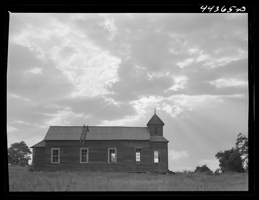

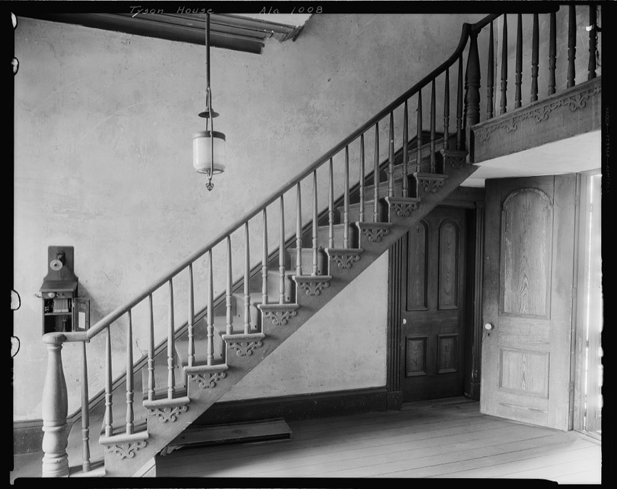


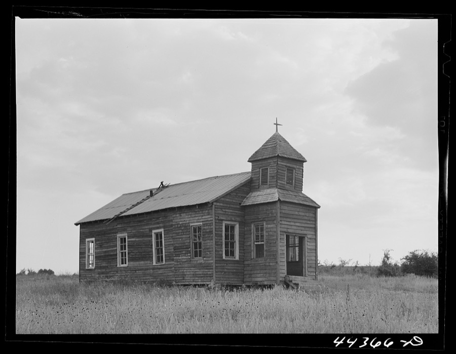

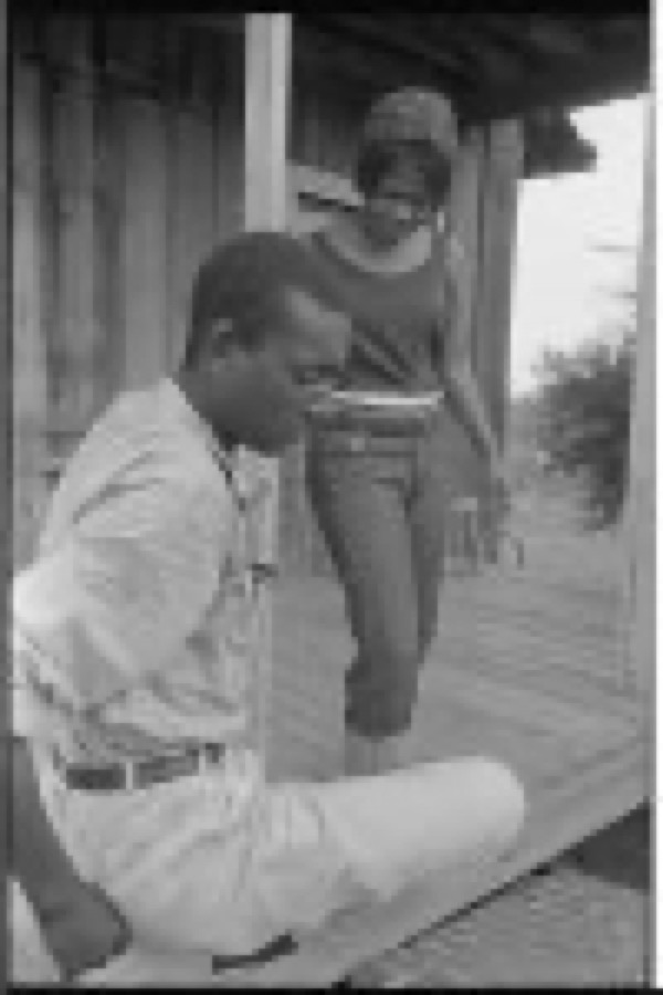
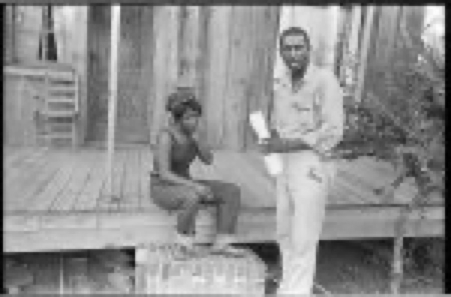

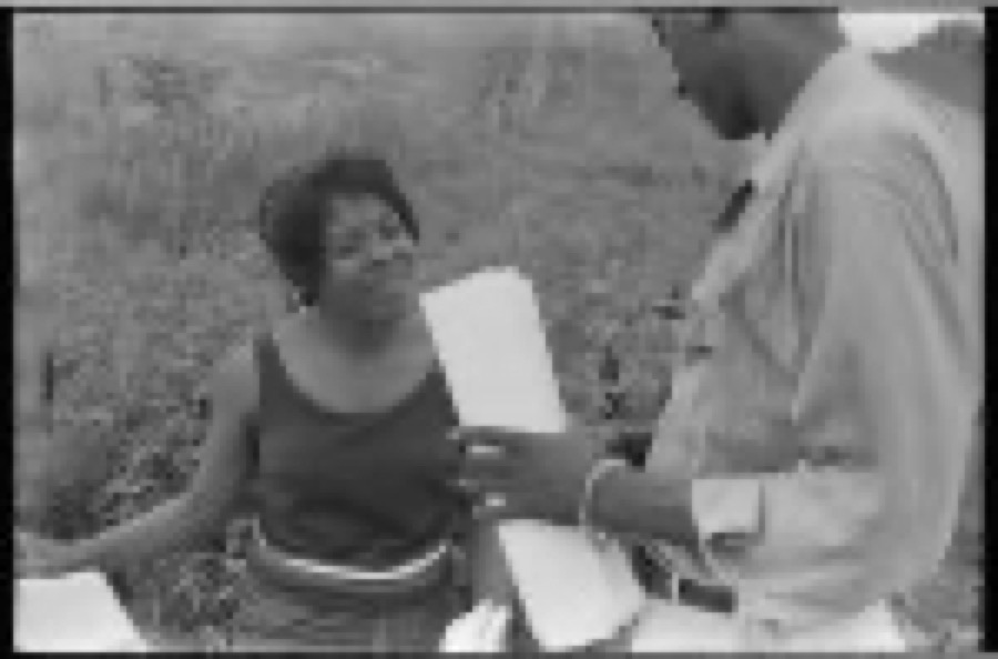
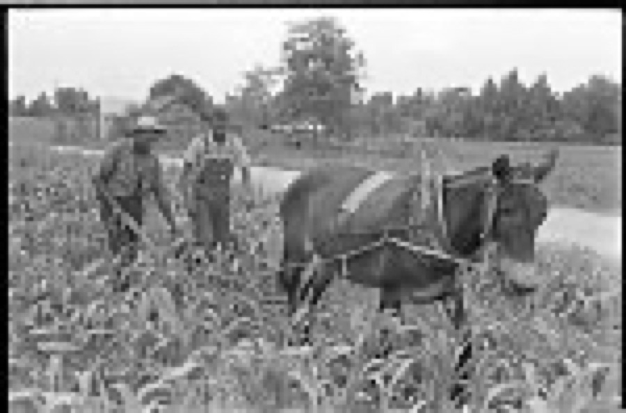
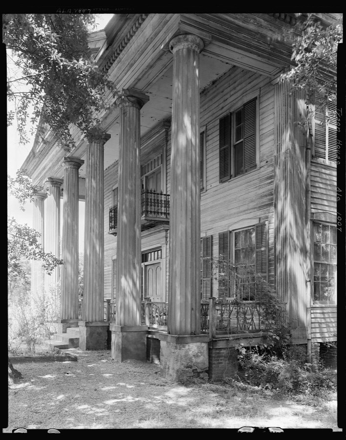
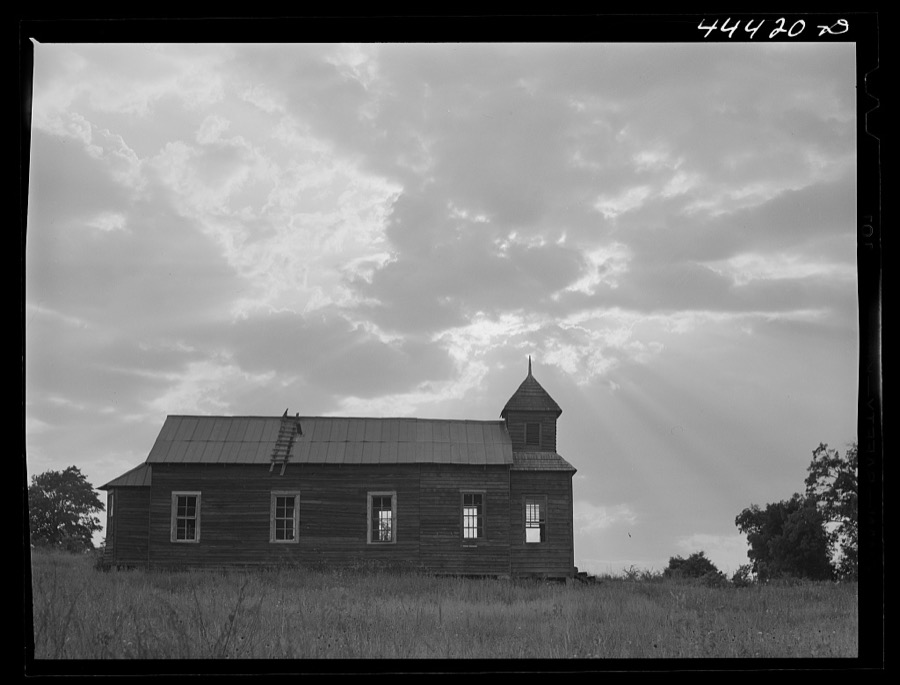
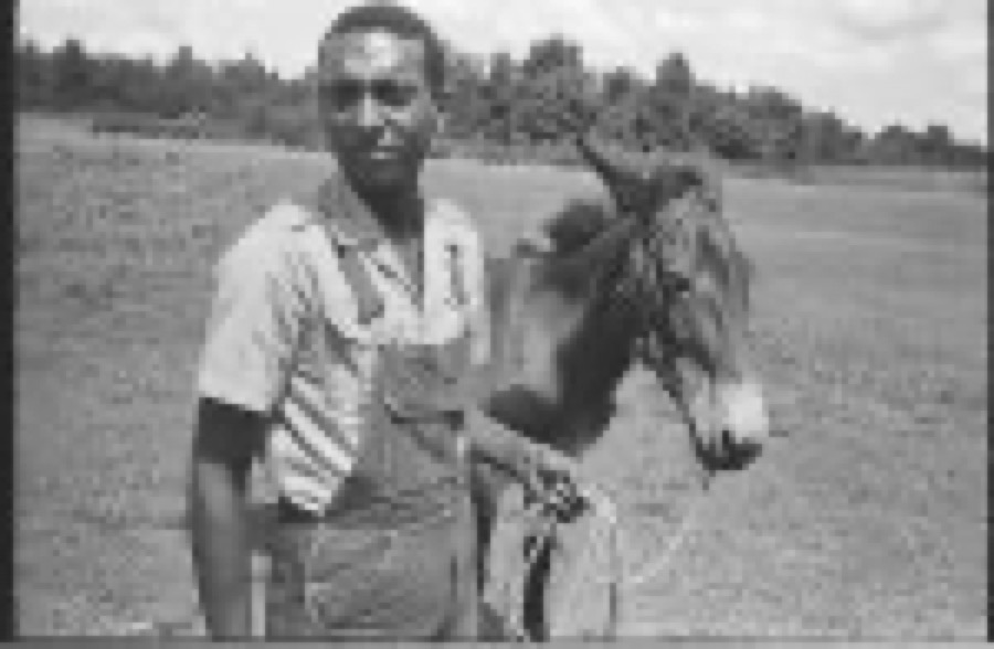
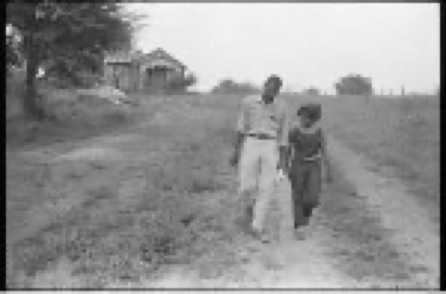
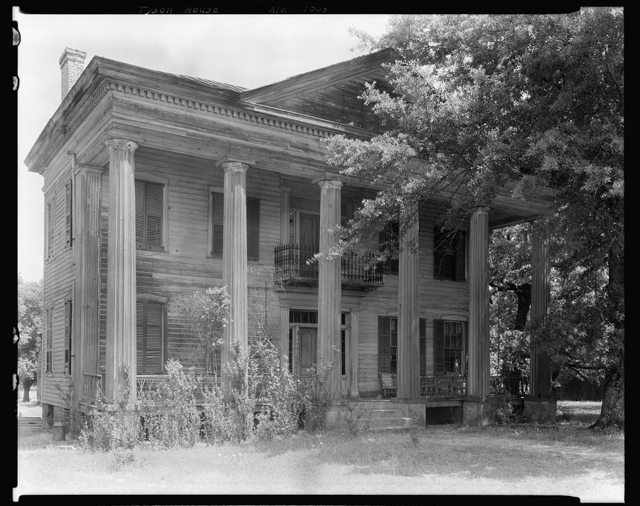
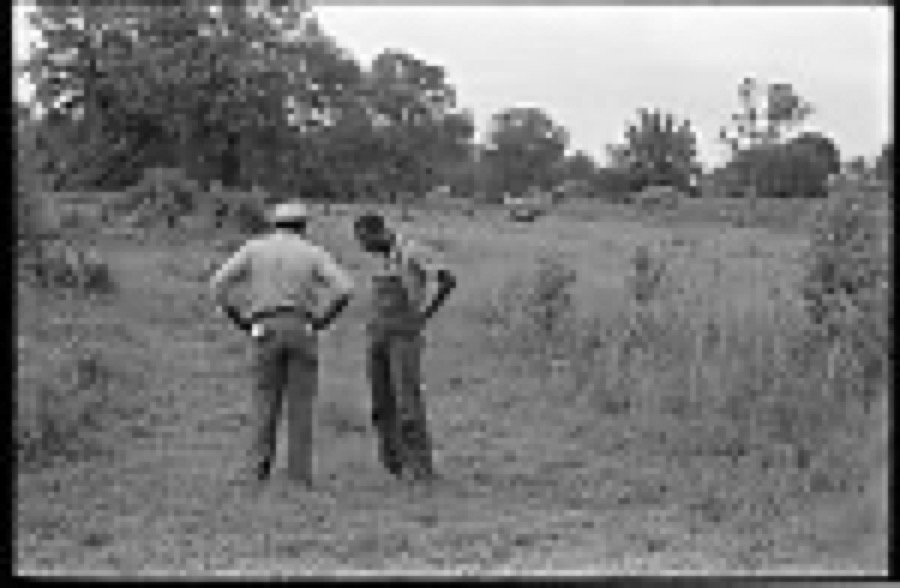
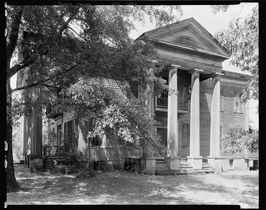


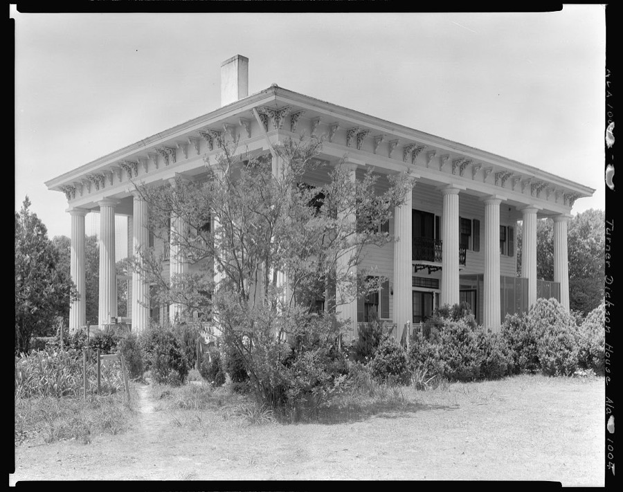
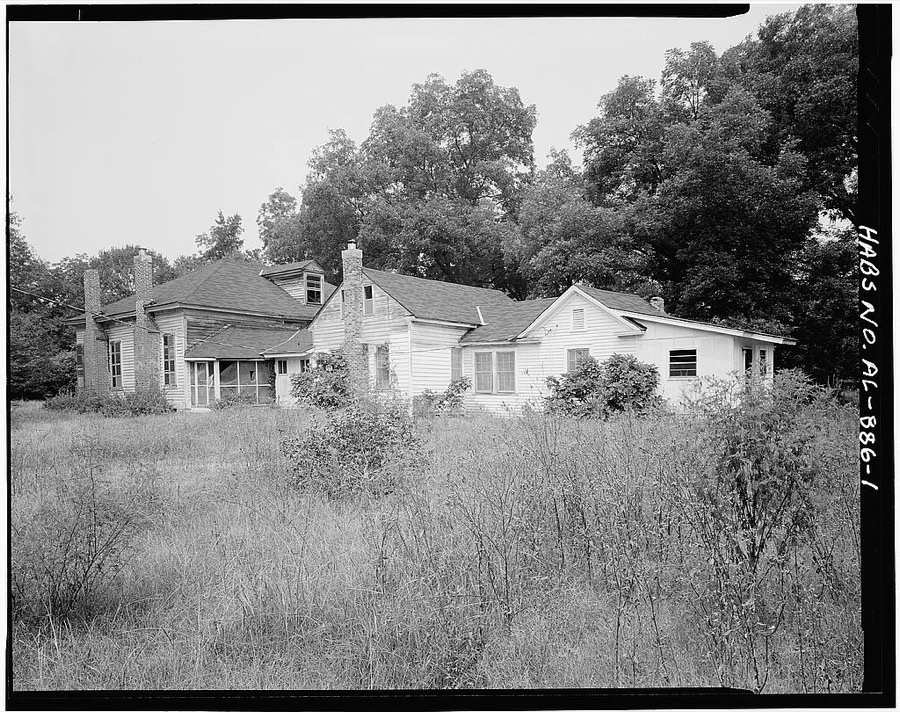
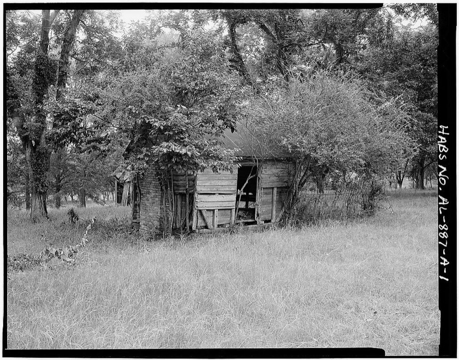

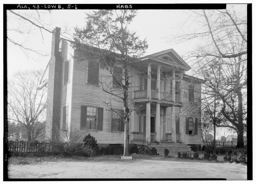
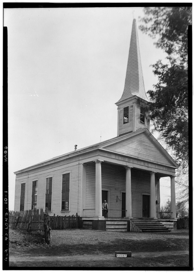
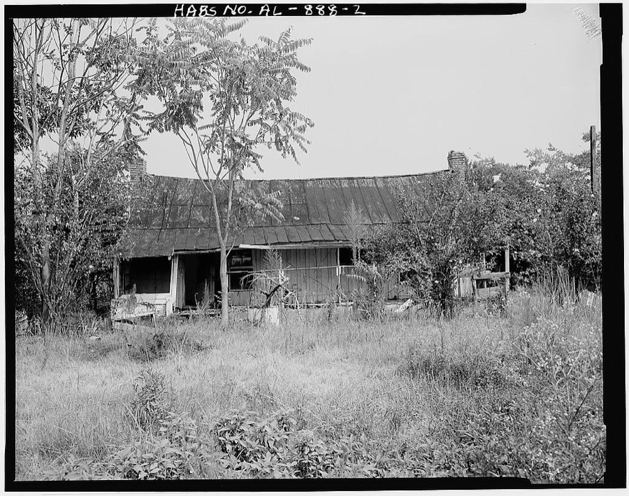


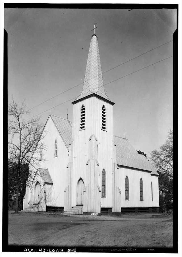
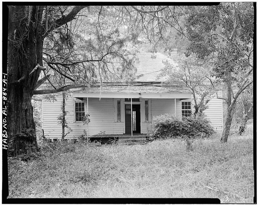
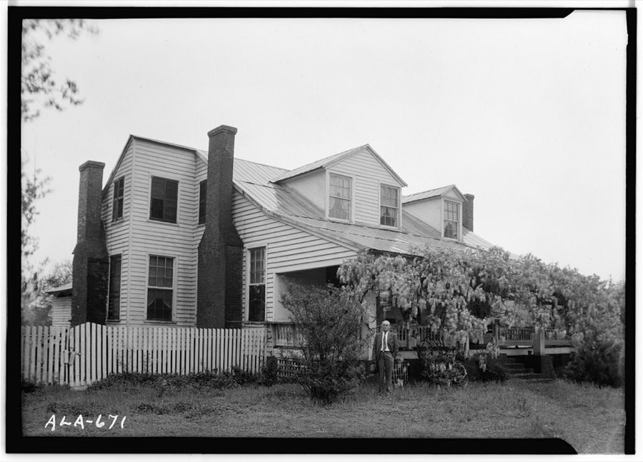
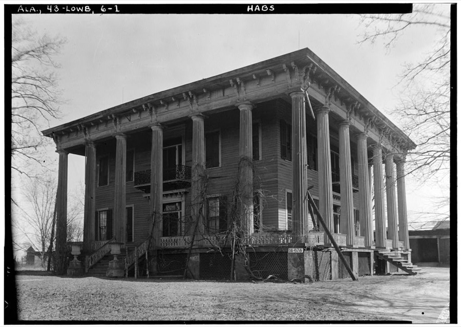

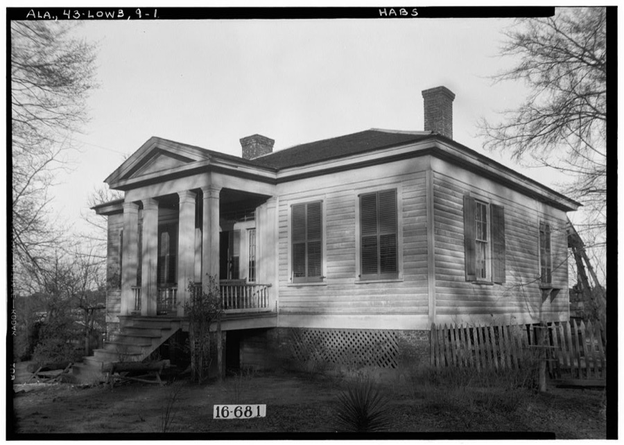
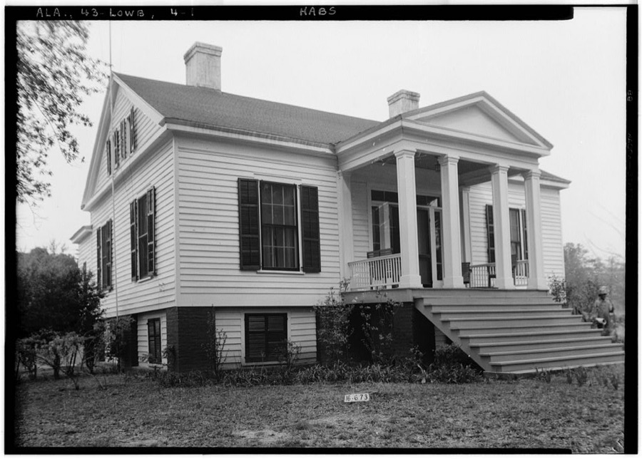
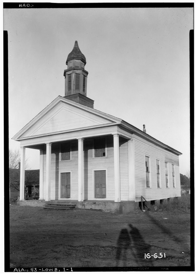
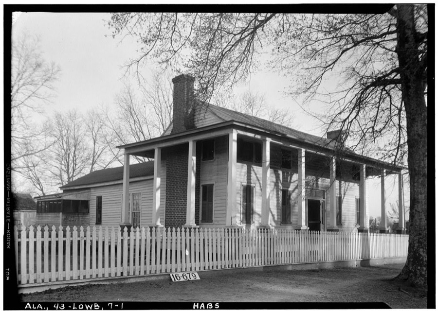
Every property in this county listed on the National Register of Historic Places, with the year it was listed and the federal nomination document.
| Photograph | Property | Type | Listed | Reference |
|---|---|---|---|---|
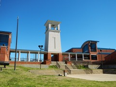 | Calhoun School Principal's House | building | 1976 | 76000340 |
| Campsite 2: Rosie Steele Property | site | 2023 | 100009549 | |
| Campsite 3: The Gardner Farm | district | 2023 | 100009120 | |
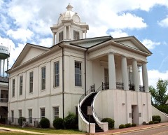 | Lowndes County Courthouse | building | 1971 | 71000100 |
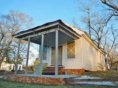 | Lowndesboro | district | 1973 | 73000356 |
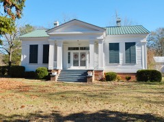 | James Spullock Williamson House | building | 1989 | 88003123 |
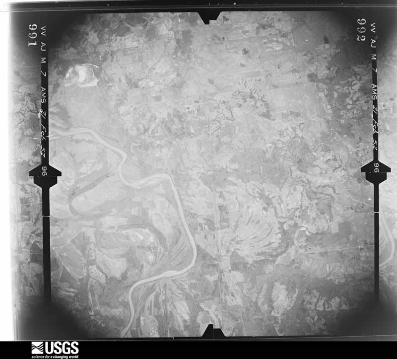
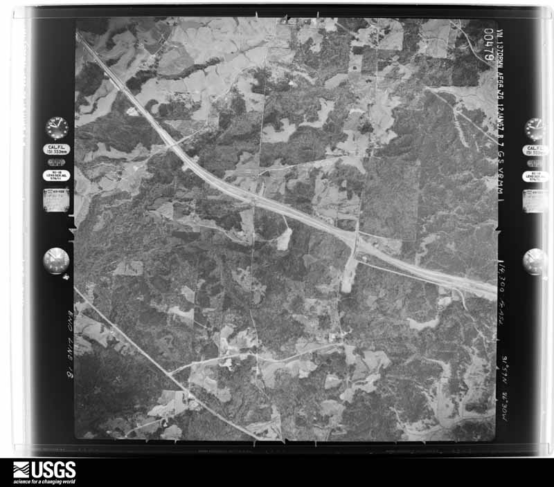
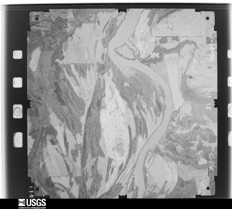
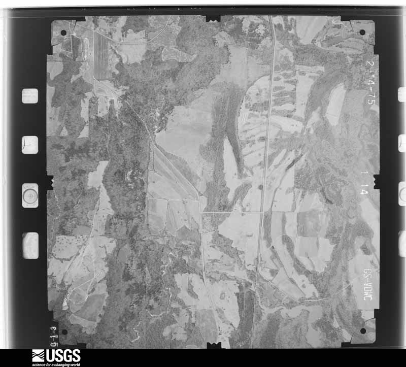
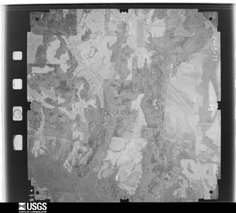
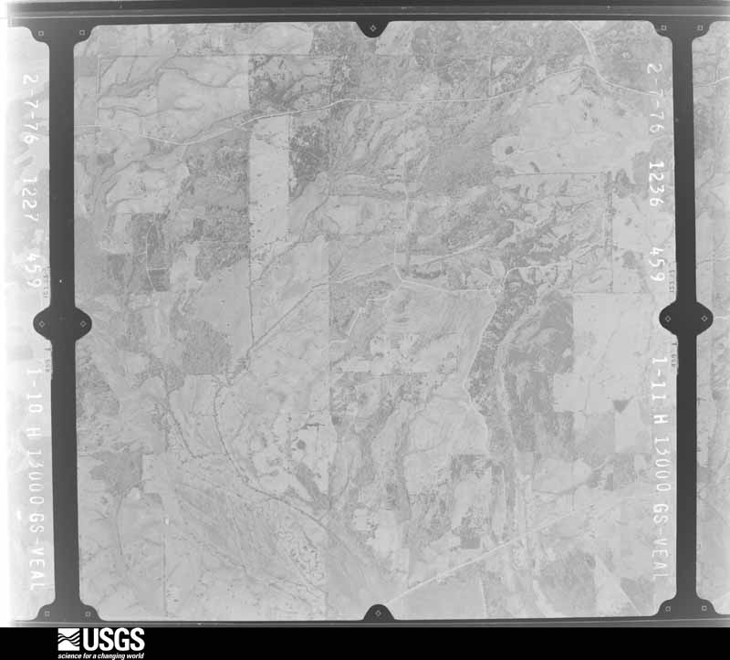
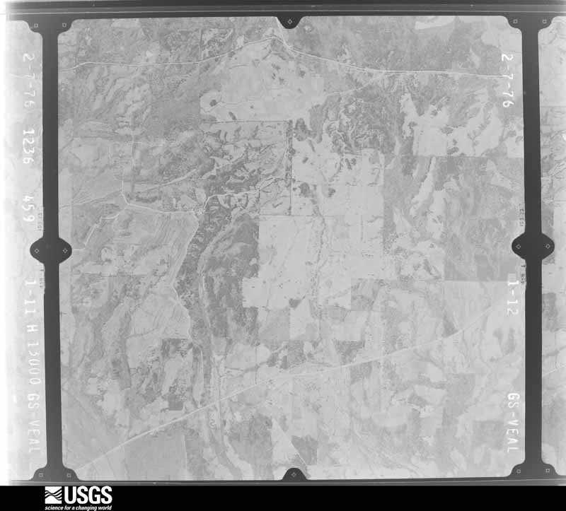
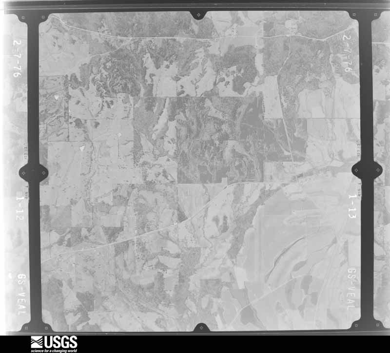
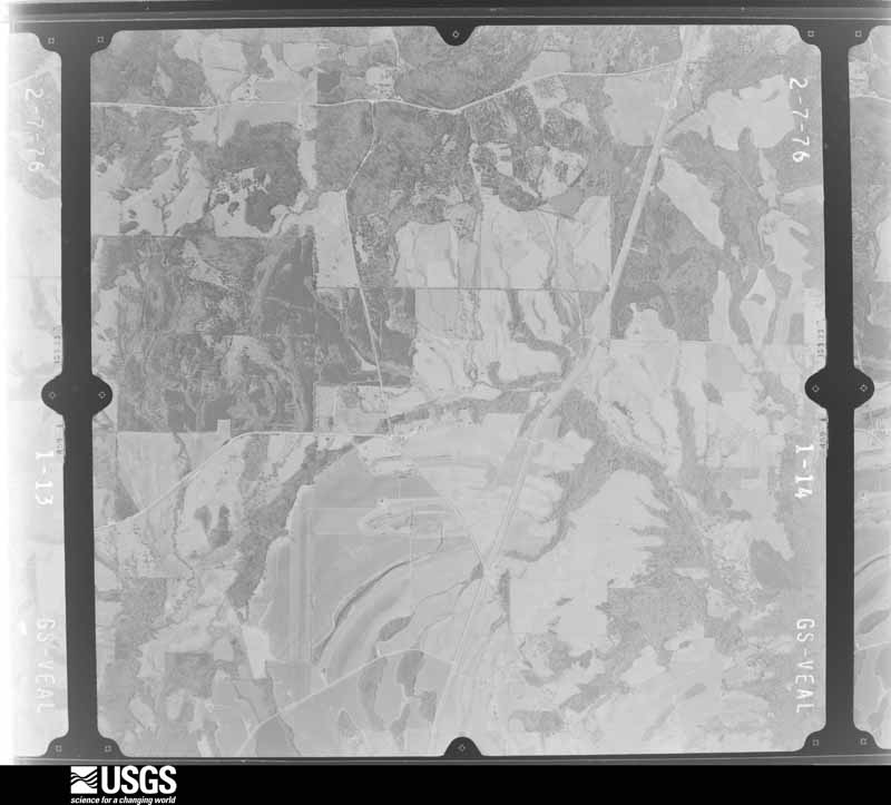
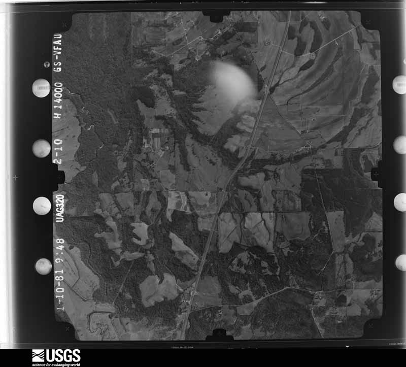
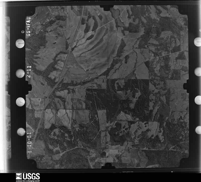
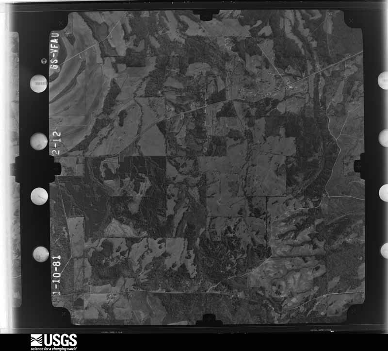
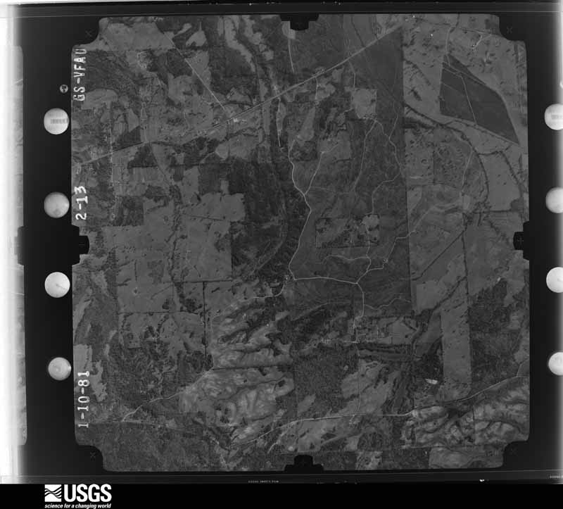
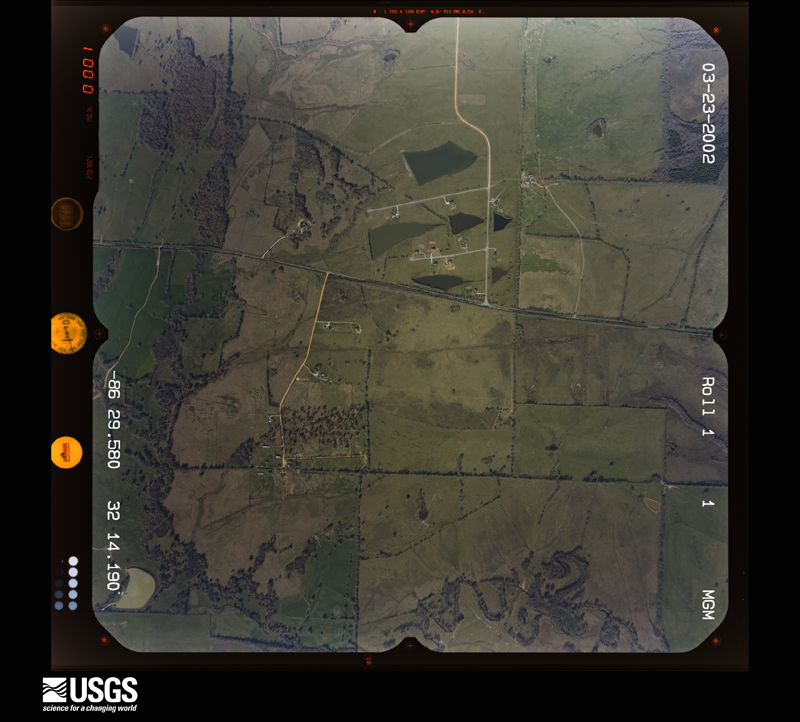
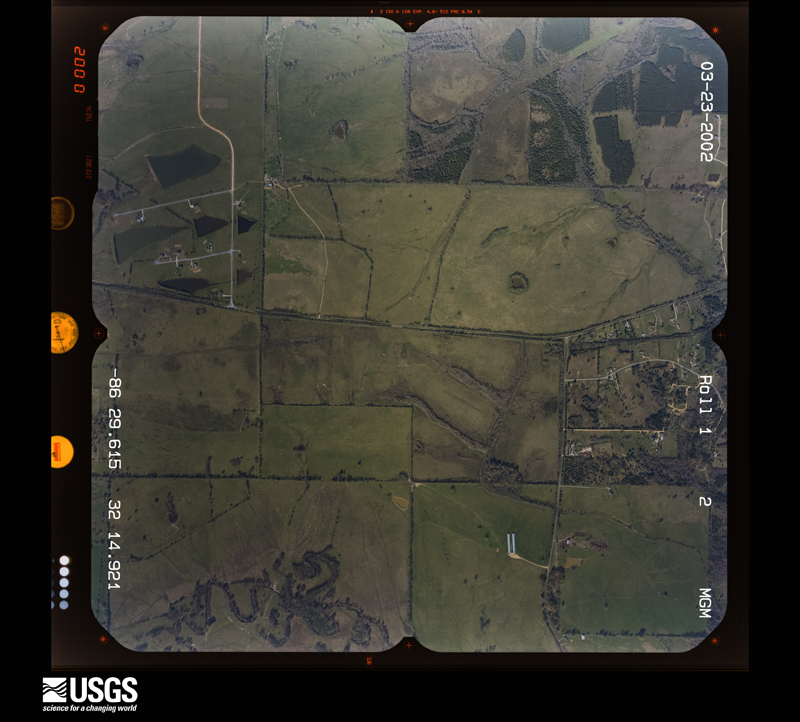
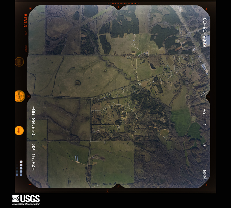
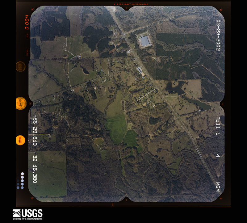
Flown by the U.S. Geological Survey between 1937 and 1989, the Aerial Photo Single Frames collection is the definitive mid-century view of the land: fields, roads and rivers as the camera saw them. The Survey holds 936 frames inside the rectangle that bounds this county; the 31 frames below were taken over the county itself, chosen across the decades of flights (at most four a year from that rectangle), so one flight cannot crowd out the rest. The full set is free to browse and download at EarthExplorer under the dataset Aerial Photo Single Frames.



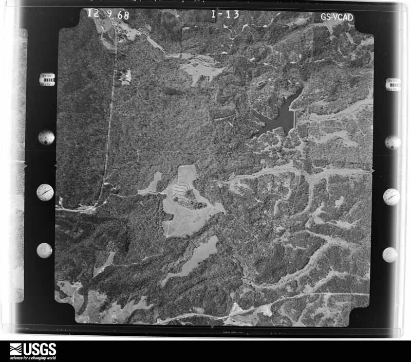
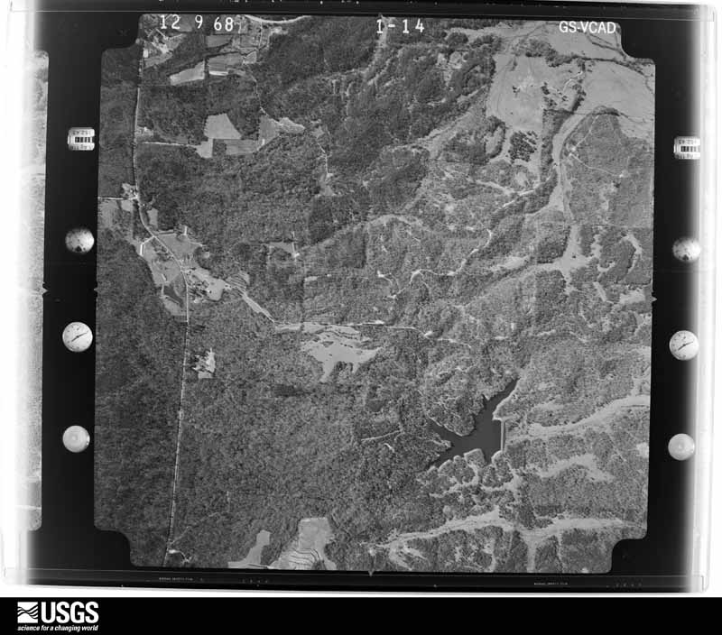
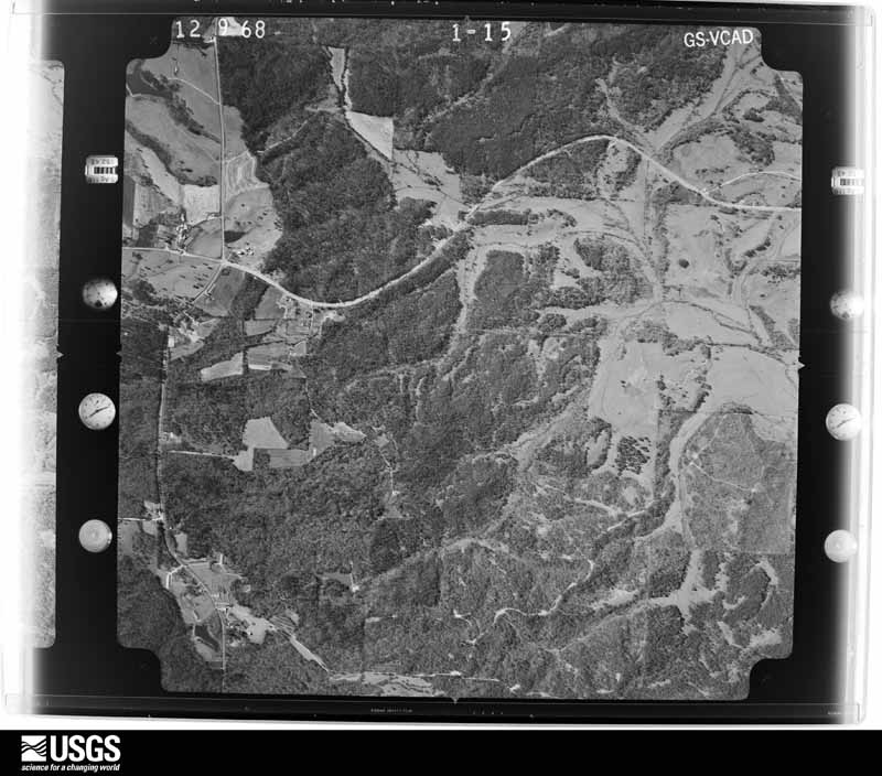
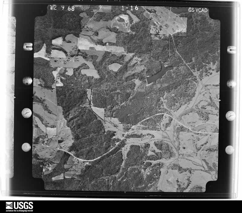


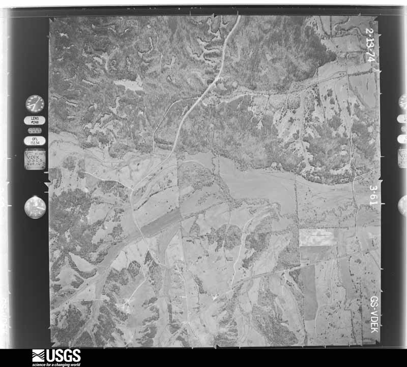
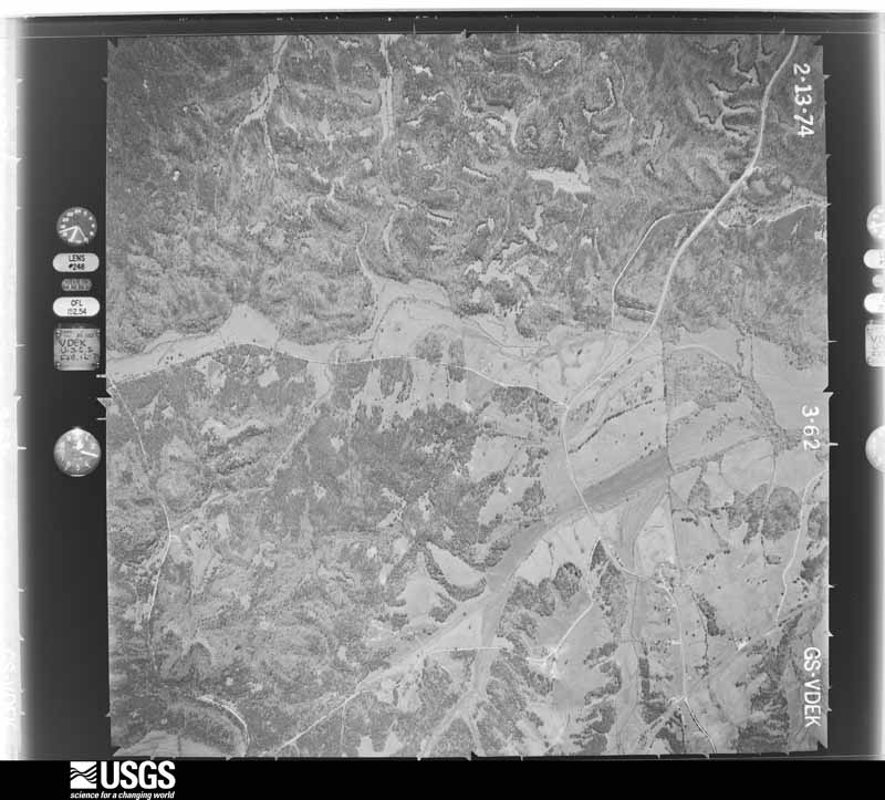
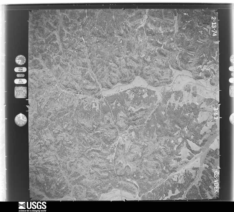
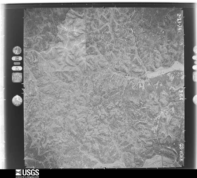

The thermometers that kept this county's weather, and the gages that measured the flow of its streams, as the federal records hold them. The extremes below are measured values from those records, not estimates.
Who lived here in 1950, one enumeration district at a time, as the Census Bureau described each district. Each row opens its official National Archives result, with Population Schedules and ED Maps available there.
Every wildfire the federal occurrence database records inside this county: 698 of them, burning about 6,450 acres. 8 started naturally and 52 were recorded as arson. Each settlement page carries the fires within five miles of it.
| Reported cause | Fires |
|---|---|
| Debris and open burning | 253 |
| Missing data/not specified/undetermined | 132 |
| Equipment and vehicle use | 101 |
| Smoking | 64 |
| Arson/incendiarism | 52 |
| Recreation and ceremony | 52 |
| Misuse of fire by a minor | 21 |
| Railroad operations and maintenance | 10 |
| Natural | 8 |
| Power generation/transmission/distribution | 3 |
| Other causes | 2 |
The five largest, by the area the report gives. Two of them were set deliberately.
| Date | Cause | Size | Reported by | Name on the report |
|---|---|---|---|---|
| 30 June 2006 | Natural | 565 acres | Alabama Forestry Commission | LOWNDES |
| 27 April 2013 | Arson/incendiarism | 362 acres | Alabama Forestry Commission | ECR-20130427-007 |
| 9 March 2004 | Debris and open burning | 320 acres | Alabama Forestry Commission | LOWNDES #1 |
| 27 August 2011 | Arson/incendiarism | 160 acres | Alabama Forestry Commission | 3845 CR 97, AL |
| 27 December 2020 | Debris and open burning | 155 acres | Alabama Forestry Commission | 20201227-5 |
| 24 March 1996 | Debris and open burning | 150 acres | Alabama Forestry Commission | not named |
| 28 August 2000 | Natural | 116 acres | Alabama Forestry Commission | not named |
| 14 February 2015 | Missing data/not specified/undetermined | 100 acres | Alabama Forestry Commission | ECR-20150214-002 |
Every settlement page carries the fires within five miles of it - see the settlement index below.
The NOAA Storm Events Database holds 201 reports for this county, causing no deaths, 45 injuries and about $2,342,000 in recorded property damage. Each settlement page carries the reports that name it.
| Kind of event | Reports |
|---|---|
| Thunderstorm Wind | 101 |
| Hail | 54 |
| Tornado | 26 |
| Flash Flood | 16 |
| Heavy Rain | 2 |
| Funnel Cloud | 1 |
| Flood | 1 |
The most serious of them, by death, then injury, then recorded damage. The accounts are quoted exactly as the forecast office filed them.
| When | Event | Place named | Harm | What the report says |
|---|---|---|---|---|
| November 1979 | Tornado (F2) | not stated | 12 hurt, $25,000 | no account filed |
| February 2008 | Tornado (EF2) | Collirene | 10 hurt, $215,000 | The tornado touched down in the Collirene Community, about 14 miles west of Hayneville. It then tracked northeastward, and ended just north of US Highway 80, several miles west of Lowndesboro. At least 11 structures, most of them mobile homes, were damaged with three of these being completely destroyed. Hundreds of trees were either snapped or were uprooted along the damage path. The most extensive damage occurred in and near the Collirene Community. Ten injuries were attributed to this tornado. |
| June 1957 | Tornado (F1) | not stated | 8 hurt, $250,000 | no account filed |
| April 2005 | Thunderstorm Wind | Hayneville | 4 hurt, $100,000 | National Weather Service meteorologists surveyed the damage across Central Lowndes County. Thedamage was determined to be the result of straight line thunderstorm winds. Damage was first observedalong County Road 17 between Panther Creek and Ash Creek Church. Damage continued eastward along County Road 13 for approximately 4 miles. Extensive tree damage was observed along this entire area. No evidence of rotation was observed. Additionally...more concentrated damage was discovered to two mobile homes and one old pillar and beam constructed home near Cherry Street. Both of the mobile homes were completely destroyed with debris scattered up to one hundred yards downwind. Four injuriesoccurred in these homes, two middle aged females, a 2 year old girl and a 5 year old boy. Injuries were mostly cuts and bruises, although the five year old sustained several broken bones. A witness reported that the 5 year old was blown a considerable distance from the mobile home. The tin roof of the traditional home was completely removed. These residences were located atop a hill which likely enhanced the winds. |
| March 2007 | Tornado (EF2) | Sandy Ridge | 4 hurt, $50,000 | What would eventually become a large tornado first touched down in far southeastern Lowndes County, along US Highway 31 in the Sandy Ridge Community. The tornado tracked northeastward, roughly parallel to US 31, before moving into extreme southwestern Montgomery County. During its short path in Lowndes County, the tornado damaged several structures and downed numerous trees. |
| August 1992 | Tornado (F1) | not stated | 2 hurt, $250,000 | no account filed |
| March 1996 | Tornado (F2) | Gordonsville | 2 hurt, $100,000 | no account filed |
| December 2024 | Tornado (EF0) | Lum | 2 hurt | A tornado began along Knight Place Rd and moved northeastward. Numerous trees were downed along or just west of the road, mainly limbs broken or uprooted trunks. A few small trees were snapped as well, along with downed power lines. A few structures sustained damage, including minor roof damage to a double-wide manufactured home, a single-wide manufactured home that was rolled over onto its roof, and a large open air shed that lost roof panels. Two people were injured in the overturned single-wide. The tree damage continued across County Road 45 into a large inaccessible area. Radar and satellite data were conclusive in showing that the tornado continued for a few more miles to the northeast, with significant tree damage on satellite imagery. Radar data and satellite show an east-southeast bend in the path before the tornado dissipated just west of Salem Church Rd. The ground survey resumed along Salem Church Rd and noted no discernible area of tornado damage. However, there was a large area of wind damage southeast of Salem Church Rd apparent from satellite, and tree debris from the residual tornado debris signature was noted along the road. After satellite analysis, roughly 4 miles was added to the existing track. Maximum winds were estimated at 85 mph. |
| April 2005 | Tornado (F1) | White Hall | 1 hurt, $110,000 | National Weather Service meteorologists surveyed the damage across northwestern Lowndes County. It was determined that the damage was the result of a tornado that has been rated F1 on the Fujita Scale. The tornado first touched down near Mount Gillard Church, near the Intersection of US 80 and CR 17 around 652 AM CDT. It stayed on the ground for only about a minute, before lifting around 653 AM CDT. The total path length was 1.6 miles with a width of 50 yards at its widest point. This path was parallel to CR 17, with most of the damage on the northwest side of the road. This tornado, with winds estimated around 100 mph, uprooted or snapped dozens of trees, damaged 2 mobile homes severely...produced minor damage to 3 homes and caused severe roof damage to another home. The side of one of the mobile homes was breached by an unidentified piece of debris, resulting in a 7 foot by 3 foot hole. The most substantial damage to a home consisted of approximately one third of the roof being blown off, which resulted in the partial collapse of an exterior wall. One middle aged man was injured in this home but did not seek medical treatment. Begin: 32 16.51/86 44.88 End: 32 17.17/86 43.49 |
| April 1964 | Tornado (F2) | not stated | $250,000 | no account filed |
| April 1963 | Tornado (F2) | not stated | $250,000 | no account filed |
| October 2007 | Tornado (EF1) | Lowndesboro | $85,000 | The tornado first touched down just west of Caffey Road, near Robinsons Lake, in northeastern Lowndes County. It then moved northeast, crossing US-80 and County Road 37, before lifting. The most concentrated damage occurred at Mt. Olive Church and the Auxiliary Mt. Olive Church, on Frederick Douglass Road. A wing of the auxiliary church had its entire roof blown off, a couple windows blown out, and the steeple was blown 100 yards over a house. The main church building sustained damage to about 20% of its roof. Multiple trees were also blown down in the church area. |
| February 2011 | Tornado (EF1) | Tyson | $60,000 | The tornado touched down just to the west of the intersection of Deer Trace Road and County Road 37 and traveled southeast for almost 5 miles lifting just to the west I-65. Along the path, five grain elevators were destroyed, three chicken houses were damaged or destroyed, and one home had nearly total roof removal. Numerous trees were also snapped. |
| September 1998 | Flash Flood | Countywide | $50,000 | no account filed |
| September 1998 | Tornado (F0) | Letohatchee | $45,000 | A tornado moved northwest along CR 97 from Letohatchee to Hayneville. Numerous trees and power lines were knocked down, one mobile home was totally destroyed, and several others sustained minor damage. |
| November 1997 | Thunderstorm Wind | Hayneville | $35,000 | Several trees were down in the Farmersville community, including one, which trapped someone in a car. There were no injuries |
| April 2005 | Thunderstorm Wind | White Hall | $26,000 | Several trees were blown down across the eastern half of Lowndes County. This damage was not concentrated but was from the same line of storms that produced the damage near Mosses and White Hall. |
| January 1998 | Flash Flood | Countywide | $25,000 | no account filed |
| November 1966 | Tornado (F2) | not stated | $25,000 | no account filed |
| June 1957 | Tornado (F2) | not stated | $25,000 | no account filed |
| April 2011 | Tornado (EF0) | Tyson | $21,000 | A tornado touched down just west of County Road 26 on Cruise Road in Lowndes County. The tornado tracked northeastward. Numerous trees were either snapped or uprooted along the path and a few homes suffered minor shingle damage. The tornado lifted just after it crossed County Road 32. Maximum winds were estimated to be 75 mph. |
| April 2003 | Thunderstorm Wind | Lowndesboro | $20,000 | Several trees were blown down in the St. Clair community north of Lowndesboro. Three vehicles were damaged by the falling trees. |
| April 2003 | Hail | Lowndesboro | $20,000 | Penny to quarter size hail fell along the path of the storm through Lowndes County. Several trees were blown down near the Davenport Community. |
| April 2003 | Flash Flood | Countywide | $20,000 | Several roads were flooded especially in and around Hayneville. |
| March 2001 | Flash Flood | Countywide | $18,000 | Several roads were covered with high water and impassible. |
| March 2005 | Hail | Braggs | $18,000 | no account filed |
| November 2009 | Flood | Mt Willing | $15,000 | Heavy rain associated with the remnants of Tropical Depression Ida flooded several roads in the Mount Willing community. Flood waters also entered 3 mobile homes, requiring evacuation. |
| March 1999 | Thunderstorm Wind | Hayneville | $15,000 | Trees and power lines were knocked down and a few outbuildings were destroyed in the Beechwood Community off CR 21. |
| March 1996 | Hail | Hayneville | $15,000 | no account filed |
| March 1996 | Thunderstorm Wind | Lowndesboro | $15,000 | no account filed |
| November 2004 | Thunderstorm Wind | Lowndesboro | $14,000 | A few homes suffered minor wind damage near the intersection of CR 9 and US 80, just north of the Petronia Community. |
| March 2005 | Hail | Ft Deposit | $11,000 | no account filed |
| July 2011 | Flash Flood | Palmyra | $10,000 | Up to 6 inches of water flooded two brick homes. |
| May 2009 | Thunderstorm Wind | Hayneville | $10,000 | Numerous trees were blown down across Lowndes County. Many of the fallen trees blocked roadways. A few trees fell on vehicles and homes. |
| April 2011 | Thunderstorm Wind | Mt Willing | $8,000 | Several trees were blown down across Lowndes County, one in which fell on a house. Also, the roof was ripped off of a mobile home just south of Mount Willing. |
| March 2005 | Hail | Ft Deposit | $8,000 | The second supercell in a few hours affected almost the same areas across southern Lowndes County. Hail was reported up to the size of golf balls. |
| October 2007 | Thunderstorm Wind | Sandy Ridge | $7,000 | A few trees were blown down, and at least one building sustained minor roof damage, near the Sandy Ridge Community. |
| November 2011 | Thunderstorm Wind | Hayneville | $5,000 | Several trees were reported down with numerous power outages in Hayneville. |
| February 2008 | Thunderstorm Wind | Ft Deposit | $5,000 | Several trees were blown down across the southern part of the county. |
| October 2007 | Thunderstorm Wind | Fostoria | $5,000 | Numerous trees were blown down. |
| April 2007 | Thunderstorm Wind | Ft Deposit | $5,000 | Trees and power lines were blown down. |
| April 2005 | Hail | White Hall | $5,000 | Hail up to the size of golf balls fell across northern Lowndes County. The was the second large hail producing storm to move across the same general area within a few hours. |
| April 2005 | Hail | White Hall | $5,000 | Hail up to the size of golf balls fell across extreme northern Lowndes County. |
| March 2003 | Hail | Ft Deposit | $5,000 | Penny to golf ball size hail fell in and near Fort Deposit. |
| April 2003 | Thunderstorm Wind | Hayneville | $5,000 | A few trees were blown down along SR 21 near the intersection of CR 33. |
| April 2003 | Thunderstorm Wind | Collirene | $5,000 | A few trees were knocked down along CR 12 between Collirene and Rudolf Hill. |
| June 1998 | Thunderstorm Wind | Hayneville | $5,000 | Power lines were down in Hayneville. |
| March 2001 | Flash Flood | Countywide | $5,000 | no account filed |
| April 2005 | Hail | Ft Deposit | $4,000 | Golf ball size hail was reported in and near Fort Deposit. |
| March 2005 | Thunderstorm Wind | Ft Deposit | $4,000 | no account filed |
| August 2010 | Thunderstorm Wind | Calhoun | $3,000 | Several trees were toppled along County Road 45 between Fort Deposit and Mount Willing. |
| April 2005 | Thunderstorm Wind | White Hall | $3,000 | A few trees were blown down in and near White Hall. |
| January 2001 | Thunderstorm Wind | Hayneville | $3,000 | Trees and power lines were blown down near Gordonsville and in Hayneville. |
| April 2000 | Hail | White Hall | $3,000 | Quarter size hail was observed in White Hall. |
| June 1997 | Hail | Ft Deposit | $3,000 | Three-quarter inch hail was reported near Fort Deposit. |
| July 1995 | Thunderstorm Wind | Hayneville | $3,000 | A swath of trees were reported down on the Lowndes/Montgomery County line along Interstate 65. |
| August 1995 | Thunderstorm Wind | not stated | $3,000 | Highway Patrol reported trees down on Masons Road in Lowndes County. Sheriff's Department also reported trees down on Highway 37 and 26. |
| June 2011 | Thunderstorm Wind | Beechwood | $2,000 | Several trees were blown down on CR-33, south of Hayneville. |
| November 2011 | Thunderstorm Wind | Manack | $2,000 | Several small trees were uprooted along County Road 37, north of U.S. Highway 80. A large amount of tree debris was also noted in the area. |
| June 2008 | Thunderstorm Wind | White Hall | $2,000 | A few trees were blown down near the White Hall Community. |
The Survey's mineral resources record lists 7 workings inside this county. 5 still produce and 2 are closed or unrecorded. Each settlement page carries the workings within five miles of it.
| Commodity | Workings |
|---|---|
| Sand and Gravel, Construction | 4 |
| Clay | 2 |
| Bentonite | 1 |
The least common of them first, because a county's hundredth gravel pit says nothing its first ten did not.
| Where | Site | Commodity | Status | Recorded |
|---|---|---|---|---|
| Sandy Ridge | Bentonite | Past Producer | 1965 | |
| Low 14 Clay Prospect | Clay | Prospect | ||
| Sandy Ridge Mine & Mill | Clay | Producer | ||
| Lowndes Pit | Sand and Gravel, Construction | Producer | ||
| Lowndes Quarry | Sand and Gravel, Construction | Producer | Unconsolidated Sediments | |
| White Hall Pit | Sand and Gravel, Construction | Producer | ||
| White Hall Quarry | Sand and Gravel, Construction | Producer | Unconsolidated Sediments |
Named settlements recorded in the Geographic Names Information System, each with the topographic sheets covering it. Villages, hamlets and abandoned places alike. Each is shown with the nearest named watercourse or landform and the survey quadrangle it falls on.
Benton-Collirene census division · 36785 · On Big Swamp Creek · Benton quadrangle
12 sheets, 1953 to 1986
Hayneville census division · 36752 · On Tallawassee Creek · Lowndesboro quadrangle
13 sheets, 1953 to 1986
Fort Deposit census division · 36032 · On Hog Creek · Fort Dale quadrangle
8 sheets, 1953 to 1986
Benton-Collirene census division · 36785 · Near Mount Baber · Collirene quadrangle
11 sheets, 1953 to 1987
Lowndesboro census division · 36752 · On Pilot Creek · Benton quadrangle
12 sheets, 1953 to 1986
Fort Deposit census division · 36032 · Danielsville quadrangle
7 sheets, 1953 to 1986
Fort Deposit census division · 36032 · Near Gilmer Hills · Fort Deposit quadrangle
8 sheets, 1953 to 1986
Benton-Collirene census division · 36785 · On Halls Branch · Gordonsville quadrangle
9 sheets, 1953 to 1986
Mosses census division · 36040 · On Halls Branch · Gordonsville quadrangle
9 sheets, 1953 to 1986
Benton-Collirene census division · 36040 · Gordonsville quadrangle
9 sheets, 1953 to 1986
Hayneville census division · 36752 · On Pintlala Creek · Lowndesboro quadrangle
13 sheets, 1953 to 1986
Mosses census division · 36040 · On Kellys Ditch · Gordonsville quadrangle
9 sheets, 1953 to 1986
Fort Deposit census division · 36032 · Mount Willing quadrangle
9 sheets, 1953 to 1986
Lowndesboro census division · 36752 · On Tallawassee Creek · Lowndesboro quadrangle
13 sheets, 1953 to 1986
Fort Deposit census division · 36047 · Near Pierces Hill · Sandy Ridge quadrangle
11 sheets, 1953 to 1986
Hayneville census division · 36043 · On North Prong Steep Creek · Letohatchee quadrangle
11 sheets, 1953 to 1986
The complete index, with nothing left out. Each of these is a separate record with its own page: a federal survey report, or the case file that argued a property on to the National Register. Both are public domain and reproduced word for word.