 Block
Barnesville, Alabama
9 topographic sheets cover this place, the earliest surveyed in 1956 and the latest in 1984. It stands in the Hamilton census division. It lies in ZIP code area 35570. It stands on Watts Creek. The Survey maps it on the Weston quadrangle. It stands 525 feet above sea level.
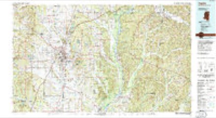
Topographic sheets covering this place
5 surveys from 9 printed sheetsMatched by testing this settlement's coordinate against the published boundary of every sheet in the United States Geological Survey's historical collection. Each opens the scanned sheet at the Survey.
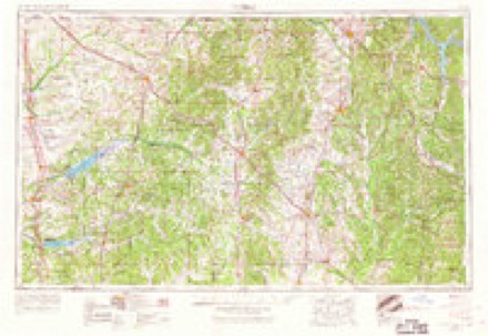
- 1956 USGS Tupelo quadrangle1:250000, 2 printings
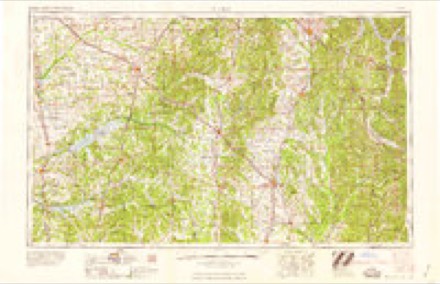
- 1958 USGS Tupelo quadrangle1:250000
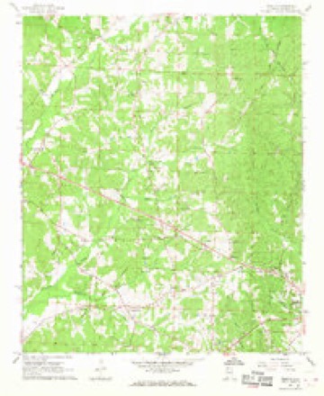
- 1967 USGS Weston quadrangle1:24000, 2 printings
- 1984 USGS Tupelo quadrangle1:250000, 3 printings
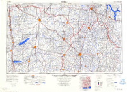
- 1984 USGS Tupelo quadrangle1:100000
Fires near this place
218 since 1995Regional context, not property-specific evidence. The federal wildfire occurrence database lists 218 fires within 5 miles of Barnesville between 1995 and 2019, burning about 1,474 acres in total. 2 started naturally. 113 were recorded as arson. Distance is straight-line from the map coordinates, so a fire counted here may appear on a neighbouring settlement's page as well.
| Reported cause | Fires |
|---|---|
| Arson/incendiarism | 113 |
| Debris and open burning | 55 |
| Equipment and vehicle use | 19 |
| Missing data/not specified/undetermined | 17 |
| Misuse of fire by a minor | 6 |
| Power generation/transmission/distribution | 3 |
| Natural | 2 |
| Recreation and ceremony | 2 |
| Other causes | 1 |
The most recent of them, most recent first, with the day each was reported and the service that recorded it.
| Date | Cause | Size | Reported by | Name on the report |
|---|---|---|---|---|
| 8 September 2002 | Arson/incendiarism | under an acre | Alabama Forestry Commission | not named |
| 6 September 1999 | Arson/incendiarism | 8.0 acres | Alabama Forestry Commission | not named |
| 6 September 1999 | Arson/incendiarism | 5.0 acres | Alabama Forestry Commission | not named |
| 5 September 2000 | Arson/incendiarism | 12 acres | Alabama Forestry Commission | not named |
| 5 September 1999 | Arson/incendiarism | 28 acres | Alabama Forestry Commission | not named |
| 5 September 1999 | Arson/incendiarism | under an acre | Alabama Forestry Commission | not named |
| 5 September 1999 | Arson/incendiarism | 10 acres | Alabama Forestry Commission | not named |
| 5 September 1999 | Arson/incendiarism | 15 acres | Alabama Forestry Commission | not named |
Settlements close enough to share some of these fires:
Mines and quarries near this place
4 within 5 milesRegional context, not property-specific evidence. The federal mineral resources record lists 4 workings within 5 miles of Barnesville: 4 producers. All of them still produce. What was taken out: Sand and Gravel, Construction. Distance is straight-line from the map coordinates, so a quarry counted here may appear on a neighbouring settlement's page as well.
| Where | Site | Commodity | Status | Recorded |
|---|---|---|---|---|
| Glen Allen Materials, Inc. Pit | Sand and Gravel, Construction | Producer | ||
| Hamilton Pit | Sand and Gravel, Construction | Producer | Quartz | |
| Hamilton Pit | Sand and Gravel, Construction | Producer | ||
| Unnamed Quarry | Sand and Gravel, Construction | Producer | Quartz |
Storms near this place
21 since 2009Regional context, not property-specific evidence. The National Weather Service names Barnesville in 21 storm reports between 2009 and 2026: 10 thunderstorm wind, 7 hail, 3 flash flood, 1 tornado. The reports record 18 deaths and 102 injuries. Each account below is quoted exactly as the forecast office filed it, from the NOAA Storm Events Database, and each date opens the federal record of that event.
| When | Event | Place named | Harm | What the report says |
|---|---|---|---|---|
| April 2011 | Tornado (EF5) | Barnesville | 18 killed, 100 hurt, $160,000,000 | A tornado initially touched down west of Hamilton in southwest Marion County and moved northeast where it caused devastating damage to the city of Hackleburg. The tornado continued into Franklin County and tracked through Lawrence, Morgan, Limestone, and Madison Counties in Alabama. The tornado continued into Lincoln County Tennessee and finally dissipated in Franklin County Tennessee (See Storm Data Huntsville). The average path width of the tornado while in Marion County was 0.5 mile (880 yds). The tornado touched down west of AL Hwy 19 near Sipsey Creek and moved northeast and crossed Corridor X/Future Interstate 22. Here it caused significant tree damage. The tornado strengthened north of Hamilton and caused roof damage to at least one home. The storm strengthened further as it approached US Hwy 43, southwest of Hackleburg, to a violent EF4 rating with winds estimated at 170 mph. The tornado tracked parallel to US Hwy 43 toward Hackleburg and strengthened more to an EF5 with winds up to 210 mph, as its path widened to 0.75 mile (1320 yds). Several subdivisions and businesses, Hackleburg High School, Middle School, and Elementary School, and the Wrangler Plant were destroyed. Vehicles were tossed up to 200 yards. One well built home with 4 brick sides was completely leveled and the debris from the home was tossed over 40 yards to the north. The tornado moved northeast of Hackleburg and continued to parallel US Hwy 43. It crossed into Franklin County just east of the highway. Along the damage path in Marion County, thousands of trees were downed, several hundred structures were damaged, and at least 100 of these structures were completely destroyed as many homes were leveled. Eighteen fatalities are attributed to this tornado in Marion County, as well as numerous injuries. |
| April 2009 | Thunderstorm Wind | Barnesville | 2 hurt, $200,000 | A large swath of damaging winds, with peak gusts estimated around 80 mph, swept across a large portion of Marion County, from near the Mississippi state line and Lamar County line, eastward to near the Winston County line. The heaviest damage was in a swath from near the Detroit community, to east of Hamilton. Hundreds of trees were either snapped off or uprooted. Several of the trees landed on both mobile homes and permanent site homes, as well as several vehicles. Two people in the Byrd community were injured when a tree fell on their mobile home. A restaurant near Guin had its windows blown out and its roof partially removed. A metal billboard structure was bent to the ground, and several other business signs were damaged by the wind. At least one small barn sustained major damage. |
| June 2010 | Flash Flood | Barnesville | $10,000 | Up to 6 inches of water was flowing over CR-163. |
| June 2009 | Thunderstorm Wind | Barnesville | $3,000 | Trees and power lines were blown down at several locations in the western portion of Marion County. |
| April 2011 | Thunderstorm Wind | Barnesville | $2,000 | A few trees were blown down on Highway 17 near the Lamar County line. |
| June 2009 | Thunderstorm Wind | Barnesville | $1,000 | A few trees were blown down in the southwestern portion of Marion County. |
| April 2026 | Thunderstorm Wind | Barnesville | - | Several trees were downed across western Marion County. |
| May 2025 | Thunderstorm Wind | Barnesville | - | Social media report of trees and power lines blocking Highway 17 near Luster Place Rd. |
| September 2024 | Thunderstorm Wind | Barnesville | - | A few trees were downed in the Byrd area and another tree was downed along Silk Street in nearby Hamilton. |
| June 2023 | Thunderstorm Wind | Barnesville | - | Several trees uprooted and power lines downed along Highway 19 in southwest Marion County. |
| October 2022 | Hail | Barnesville | - | Large hail reported near the Intersection of I-22 and Highway 17 on the southwest side of the city of Hamilton. |
| March 2017 | Hail | Barnesville | - | Golfball size hail reported along Highway 19 in the Byrd Community. |
| December 2015 | Flash Flood | Barnesville | - | Heavy rainfall from intense thunderstorms dumped 5 to 7 inches of rain between 1030 CST and 1700 CST, producing widespread flash flooding across the western and northern portions of Marion County. |
| June 2014 | Thunderstorm Wind | Barnesville | - | Several trees uprooted in the town of Barnesville. |
| June 2014 | Thunderstorm Wind | Barnesville | - | Partial roof removed from church at the intersection of Highway 19 and Barnesville Church Road. |
| May 2010 | Flash Flood | Barnesville | - | A portion of CR-122, north of Hamilton, experienced a short period of flash flooding. |
| April 2009 | Hail | Barnesville | - | Hail up to the size of golf balls was reported near the Alabama/Mississippi state line, west of the Byrd community. |
| June 2018 | Hail | Barnesville | - | no account filed |
| March 2011 | Hail | Barnesville | - | no account filed |
| April 2009 | Hail | Barnesville | - | no account filed |
| October 2009 | Hail | Barnesville | - | no account filed |
Nearest settlements
The eight closest, with where each one stands in the county. Distances are straight-line, computed from the Geographic Names Information System coordinates.
| Map | Place | Distance | Sheets |
|---|---|---|---|
| Weston | 2.8 miles | 9 | |
| Hamilton | 4.7 miles | 10 | |
| Fulton Bridge | 5.0 miles | 8 | |
| Byrd | 5.0 miles | 10 | |
| Bexar | 5.1 miles | 8 | |
| Pleasant Ridge | 5.1 miles | 10 | |
| Shottsville | 8.8 miles | 8 | |
| Pikeville | 9.7 miles | 10 |
Elsewhere
Matched on this settlement's Geographic Names Information System number rather than its name, so it cannot be a different place of the same name in another state.
| Wikipedia article on Barnesville | An encyclopaedic summary. Its text is share-alike, so it is linked here rather than copied. |
| Wikidata item Q4861993 | The structured record the population and elevation above come from. Public domain (CC0). |
Provenance
This settlement is recorded in the Geographic Names Information System as feature 157886. The sheet list is computed by point-in-boundary test against the United States Geological Survey's historical topographic inventory. Both are works of the United States government and carry no copyright under 17 U.S.C. 105.
Wildfire. Short, Karen C. 2022. Spatial wildfire occurrence data for the United States, 1992-2020 [FPA_FOD_20221014]. 6th Edition. Fort Collins, CO: Forest Service Research Data Archive. https://doi.org/10.2737/RDS-2013-0009.6 Collected with United States Government funding and usable without additional permissions or fees.
Mines and quarries. USGS Mineral Resources Data System (MRDS) https://mrdata.usgs.gov/mrds/ A work of the United States government, no copyright under 17 U.S.C. 105.
Storms. NOAA National Centers for Environmental Information, Storm Events Database https://www.ncei.noaa.gov/stormevents/ A work of the United States government, no copyright under 17 U.S.C. 105. Narratives are quoted verbatim from the National Weather Service report and are not edited or summarised.