 Block
Cluttsville, Alabama
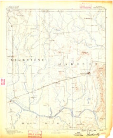
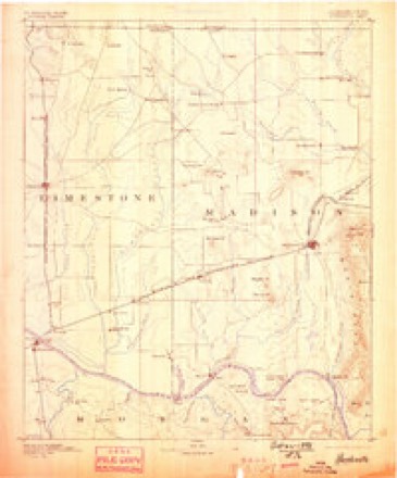
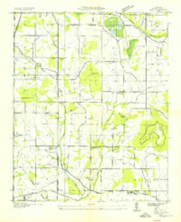
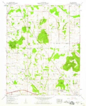
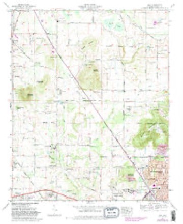
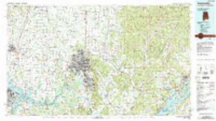
23 topographic sheets cover this place, the earliest surveyed in 1888 and the latest in 1984. It stands in the Huntsville census division. It lies in ZIP code area 35749. It lies near Capshaw Mountain. The Survey maps it on the Jeff quadrangle.
Topographic sheets covering this place
10 surveys from 23 printed sheetsMatched by testing this settlement's coordinate against the published boundary of every sheet in the United States Geological Survey's historical collection. Each opens the scanned sheet at the Survey.
- 1888 USGS Huntsville quadrangle1:125000
- 1892 USGS Huntsville quadrangle1:125000, 6 printings
- 1936 USGS Jeff quadrangle1:24000
- 1956 USGS Gadsden quadrangle1:250000, 3 printings
- 1958 USGS Gadsden quadrangle1:250000
- 1958 USGS Jeff quadrangle1:24000, 2 printings
- 1960 USGS Gadsden quadrangle1:250000, 2 printings
- 1963 USGS Gadsden quadrangle1:250000
- 1967 USGS Jeff quadrangle1:24000, 3 printings
- 1984 USGS Huntsville quadrangle1:100000, 3 printings




Fires near this place
72 since 1994Regional context, not property-specific evidence. The federal wildfire occurrence database lists 72 fires within 5 miles of Cluttsville between 1994 and 2016, burning about 227 acres in total. None started naturally. 8 were recorded as arson. Distance is straight-line from the map coordinates, so a fire counted here may appear on a neighbouring settlement's page as well.
| Reported cause | Fires |
|---|---|
| Debris and open burning | 28 |
| Missing data/not specified/undetermined | 11 |
| Arson/incendiarism | 8 |
| Recreation and ceremony | 7 |
| Equipment and vehicle use | 7 |
| Misuse of fire by a minor | 6 |
| Smoking | 4 |
| Fireworks | 1 |
The most recent of them, most recent first, with the day each was reported and the service that recorded it.
| Date | Cause | Size | Reported by | Name on the report |
|---|---|---|---|---|
| 7 September 1999 | Equipment and vehicle use | under an acre | Alabama Forestry Commission | not named |
| 3 September 1995 | Recreation and ceremony | under an acre | Alabama Forestry Commission | not named |
| 26 September 1999 | Missing data/not specified/undetermined | 5.0 acres | Alabama Forestry Commission | not named |
| 19 September 2000 | Arson/incendiarism | 3.0 acres | Alabama Forestry Commission | not named |
| 19 September 2000 | Equipment and vehicle use | 10 acres | Alabama Forestry Commission | not named |
| 17 September 2000 | Misuse of fire by a minor | under an acre | Alabama Forestry Commission | not named |
| 15 September 1998 | Debris and open burning | under an acre | Alabama Forestry Commission | not named |
| 14 September 2000 | Missing data/not specified/undetermined | under an acre | Alabama Forestry Commission | not named |
Settlements close enough to share some of these fires:
Mines and quarries near this place
1 within 5 milesRegional context, not property-specific evidence. The federal mineral resources record lists 1 working within 5 miles of Cluttsville: 1 producer. All of them still produce. What was taken out: Stone, Crushed/Broken. Distance is straight-line from the map coordinates, so a quarry counted here may appear on a neighbouring settlement's page as well.
| Where | Site | Commodity | Status | Recorded |
|---|---|---|---|---|
| Vulcan Materials Co. Quarry | Stone, Crushed/Broken | Producer |
Storms near this place
24 since 2008Regional context, not property-specific evidence. The National Weather Service names Cluttsville in 24 storm reports between 2008 and 2024: 12 thunderstorm wind, 4 hail, 4 flash flood, 3 tornado. The reports record 9 deaths. Each account below is quoted exactly as the forecast office filed it, from the NOAA Storm Events Database, and each date opens the federal record of that event.
| When | Event | Place named | Harm | What the report says |
|---|---|---|---|---|
| April 2011 | Tornado (EF4) | Cluttsville | 9 killed | The tornado crossed in Madison County east of Limestone County Prisonalong Orvil Smith Road with a path width of mile. The tornado maintained an EF-3 strength with winds of 140 to 160 MPH and a path width between and mile for much of its track northeast across Old Railroad Bed Road and Ford Chapel Road, before narrowing to around 300 yards in Anderson Hills. Dozens of well-constructed homes were destroyed, in some cases with all exterior walls collapsing in both single and two-story homes. At least 3-5 mobile homes were either destroyed or swept completely clean with no evidence of debris. At least 2 other well-constructed homes had complete wall collapse in Anderson Hills and were shifted off their foundation. This damage was once again consistent with low end EF-4 wind speeds of around 170 MPH.||Numerous tall pines and other hardwood trees were snapped, uprooted and debarked along the entire path. The path width widened once again to around mile as the tornado tracked through residential areas along Bald Eagle Lane, Old Eli Road and Ginnery Row. At least 2 of these homes had complete wall collapse, but these structures had foundation straps and nails in lieu of bolts. At least one fatality was confirmed at one of these residences. Eight additional fatalities occurred in Madison County along the track of this violent tornado. The damage was consistent with high end EF-3 wind speeds between 140 and 160 MPH. The tornado lifted just south of the Patterson Lane after twisting irrigation equipment and snapping additional trees. Just to the northeast of this location, the tornado touched down again as an EF-0 tornado with peak wind speeds of 70 MPH. Along Grimwood Road and Walker Lane, south of Hazel Green, the tornado uprooted and snapped several trees. The tornado weakened or may have lifted briefly across extreme northeast Madison County before re-strengthening again as it entered Lincoln County in Southern Middle Tennessee. |
| January 2023 | Thunderstorm Wind | Cluttsville | $10,000 | A metal barn was knocked down. |
| June 2023 | Thunderstorm Wind | Cluttsville | $6,000 | Trees were reported down on powerlines at this location. |
| May 2023 | Thunderstorm Wind | Cluttsville | $2,000 | Trees were blown down at the intersection of Old Rail Road Bed road and Nick Davies Road in Harvest. Report relayed from MCSO. |
| March 2022 | Thunderstorm Wind | Cluttsville | $2,000 | Downed power line reported at 203 Orvil Smith Road. |
| April 2009 | Thunderstorm Wind | Cluttsville | $2,000 | A tree was blown down over Orville Smith Road in Harvest. |
| July 2009 | Thunderstorm Wind | Cluttsville | $2,000 | A tree was blown down on Nick Davis road in the Harvest area. |
| May 2024 | Thunderstorm Wind | Cluttsville | $1,000 | Powerlines were reported down on Greenwood Circle. |
| June 2022 | Thunderstorm Wind | Cluttsville | $1,000 | A tree was blown down at the intersection of Wall Triana and Nick Davis Road. |
| December 2021 | Thunderstorm Wind | Cluttsville | $500 | A tree was knocked down on Orville Smith Road. |
| May 2016 | Thunderstorm Wind | Cluttsville | $500 | A tree was knocked down by thunderstorm winds along Smith Vasser Road south of Yarbrough Road. |
| May 2021 | Thunderstorm Wind | Cluttsville | $200 | A large tree branch was knocked down into the road at Nick Davis Road at Orville Smith Road. Time estimated by radar. |
| May 2016 | Thunderstorm Wind | Cluttsville | $200 | A few large tree limbs were knocked down by thunderstorm winds at this location. |
| May 2024 | Hail | Cluttsville | - | Hail up to the sized of quarters was reported at the intersection of Yarborough Road and Old Railroad Bed Road. |
| July 2023 | Flash Flood | Cluttsville | - | Social media report of water along and over the roadway at Oak Forest Neighborhood a mile south of Nick Davis Rd. |
| July 2023 | Flash Flood | Cluttsville | - | One to two feet of flowing water moving over the intersection of Nick Davis and Smith Vasser Road in Harvest. Time based on when the report was relayed. |
| July 2023 | Flash Flood | Cluttsville | - | Water over the roadway at Orville Smith Road and English Elm Road. Report relayed via social media. Depth of water estimated at 6-8. |
| March 2012 | Tornado (EF3) | Cluttsville | - | A tornado crossed from Limestone into Madison County just north of Orville Smith Road where a single wide modular home lost much of its roof and tree were snapped around it. Major structural damage occurred at the intersection of Yarbrough Road and Old Railroad Bed Road. This was one of the worst hit areas around the Harvest community. Damage to homes, mostly collapsed roofs and some exterior wall damage continued east along Yarbrough Road across Bridges Drive and Bedford Lane, just before Wall Triana Blvd. Also in this area, power poles were snapped near the base. Damage continued across State Highway 53 just south of Jeff Road. The tornado snapped and uprooted trees along Quarter Mountain Road, Carters Gin Road, and Beaver Dam Road just before Pulaski Pike. More significant damage bean to be seen along Patterson Lane, between Mount Lebanon Road and Harwell Lane where wood power poles were snapped, numerous trees uprooted and several homes had roof loss. A large metal barn/shed lost it's roof and some of it's walls were collapsed inward. Damage continued along U.S. Highway 231 at Meridianville Middle School where a concrete power pole was snapped an minor roof damage occurred to nearby buildings.||The tornado then strengthened between Hubert Road and Walker Lane along Mitzi Drive. In this area, EF-2 to low end EF-3 damage was found as several single story homes were destroyed with a loss of all walls. Other homes received significant damage with complete loss of roof and failure of exterior walls. Estimated path width in this area was 200-250 yards. Just northeast of this location along Charley Patterson Road, EF-3 damage occurred as 3 brick veneer/cinder block houses were reduced to rubble. The tornado continued to produce significant damage along Butler Road just south of Walker Lane where additional concrete power pols were snapped and large oak trees were snapped and uprooted. The damage path continued north of New Market, near Hillsboro, with additional trees snapped and uprooted and some roof shingles were lost to some residences. Damage here suggests the tornado was beginning to weaken. Along Davis Road, just south of Moe Road, numerous trees were snapped or uprooted with severe shingle loss to a house about 200 yards away from the road. Beyond this, the tornado appeared to weaken and lift as it moved across the higher plateau region of extreme northeast Madison County. |
| April 2011 | Hail | Cluttsville | - | Golf ball sized hail was reported. |
| April 2011 | Tornado (EF1) | Cluttsville | - | An EF-1 tornado reaching peak wind speed of 105 mph began near Smith Road. Several houses sustained a significant amount of shingle damage. Numerous large trees were uprooted, snapped off, and an RV trailer was overturned along this road. Some of these trees were snapped off near their base. Also, the edifice of a brick home was damaged. At this point, the width of the tornado was at it's widest point (approximately 100 yards). As this tornado moved east northeast across Iron Horse Trail Road and across Orvil Smith Road, several areas of large trees (some snapped) were observed. This tornado continued east northeast, weakening slightly, but still uprooted large trees and produced minor roof damage. Portions of Shortleaf Road and Poplar Green Road were affected next by similar damage. Some fences were blown down in this area. The tornado lifted shortly before reaching Wall Triana Highway. |
| April 2009 | Flash Flood | Cluttsville | - | Flash flooding was reported at the intersection of Old Railroad Bed road and Orvill Smith Road in Harvest. |
| June 2009 | Hail | Cluttsville | - | Hail up to the size of pennies was reported. |
| August 2008 | Hail | Cluttsville | - | Nickel size hail was reported at 107 Pine Knoll Lane. |
| October 2008 | Heavy Rain | Cluttsville | - | A COCORAHS observer measured 4.11 inches of rainfall in 24 hours. Flash flooding was observed along nearby Knox Creek. |
Nearest settlements
The eight closest, with where each one stands in the county. Distances are straight-line, computed from the Geographic Names Information System coordinates.
| Map | Place | Distance | Sheets |
|---|---|---|---|
| Western Hills Estates | 1.3 miles | 23 | |
| Harvest | 1.7 miles | 21 | |
| Hoover | 1.9 miles | 23 | |
| Jeff | 2.0 miles | 23 | |
| Clarkdale | 2.0 miles | 21 | |
| North Daye Hill | 2.2 miles | 23 | |
| Monrovia | 3.6 miles | 23 | |
| Northwood | 3.6 miles | 21 |
Elsewhere
Matched on this settlement's Geographic Names Information System number rather than its name, so it cannot be a different place of the same name in another state.
| Wikidata item Q122560429 | The structured record the population and elevation above come from. Public domain (CC0). |
Provenance
This settlement is recorded in the Geographic Names Information System as feature 156194. The sheet list is computed by point-in-boundary test against the United States Geological Survey's historical topographic inventory. Both are works of the United States government and carry no copyright under 17 U.S.C. 105.
Wildfire. Short, Karen C. 2022. Spatial wildfire occurrence data for the United States, 1992-2020 [FPA_FOD_20221014]. 6th Edition. Fort Collins, CO: Forest Service Research Data Archive. https://doi.org/10.2737/RDS-2013-0009.6 Collected with United States Government funding and usable without additional permissions or fees.
Mines and quarries. USGS Mineral Resources Data System (MRDS) https://mrdata.usgs.gov/mrds/ A work of the United States government, no copyright under 17 U.S.C. 105.
Storms. NOAA National Centers for Environmental Information, Storm Events Database https://www.ncei.noaa.gov/stormevents/ A work of the United States government, no copyright under 17 U.S.C. 105. Narratives are quoted verbatim from the National Weather Service report and are not edited or summarised.