 Block
Jeff, Alabama
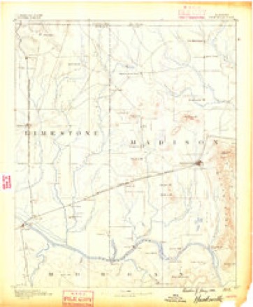
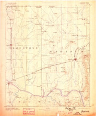
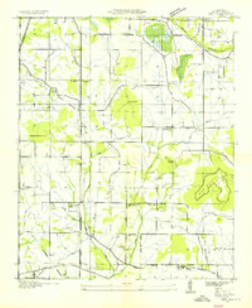
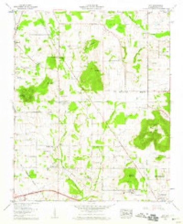
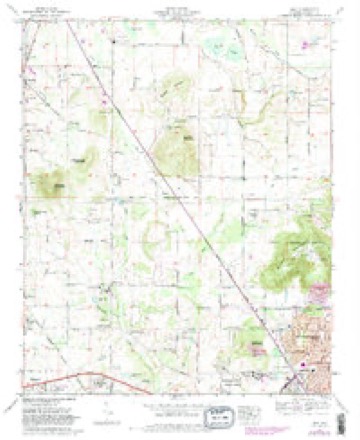
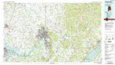
23 topographic sheets cover this place, the earliest surveyed in 1888 and the latest in 1984. It stands in the Huntsville census division. It lies in ZIP code area 35749. It lies near Little Burwell Mountain. The Survey maps it on the Jeff quadrangle.
Topographic sheets covering this place
10 surveys from 23 printed sheetsMatched by testing this settlement's coordinate against the published boundary of every sheet in the United States Geological Survey's historical collection. Each opens the scanned sheet at the Survey.
- 1888 USGS Huntsville quadrangle1:125000
- 1892 USGS Huntsville quadrangle1:125000, 6 printings
- 1936 USGS Jeff quadrangle1:24000
- 1956 USGS Gadsden quadrangle1:250000, 3 printings
- 1958 USGS Gadsden quadrangle1:250000
- 1958 USGS Jeff quadrangle1:24000, 2 printings
- 1960 USGS Gadsden quadrangle1:250000, 2 printings
- 1963 USGS Gadsden quadrangle1:250000
- 1967 USGS Jeff quadrangle1:24000, 3 printings
- 1984 USGS Huntsville quadrangle1:100000, 3 printings




Fires near this place
59 since 1994Regional context, not property-specific evidence. The federal wildfire occurrence database lists 59 fires within 5 miles of Jeff between 1994 and 2016, burning about 124 acres in total. None started naturally. 8 were recorded as arson. Distance is straight-line from the map coordinates, so a fire counted here may appear on a neighbouring settlement's page as well.
| Reported cause | Fires |
|---|---|
| Debris and open burning | 19 |
| Missing data/not specified/undetermined | 9 |
| Arson/incendiarism | 8 |
| Misuse of fire by a minor | 7 |
| Equipment and vehicle use | 7 |
| Recreation and ceremony | 5 |
| Smoking | 3 |
| Fireworks | 1 |
The most recent of them, most recent first, with the day each was reported and the service that recorded it.
| Date | Cause | Size | Reported by | Name on the report |
|---|---|---|---|---|
| 7 September 1999 | Equipment and vehicle use | under an acre | Alabama Forestry Commission | not named |
| 3 September 1995 | Recreation and ceremony | under an acre | Alabama Forestry Commission | not named |
| 26 September 1999 | Missing data/not specified/undetermined | 5.0 acres | Alabama Forestry Commission | not named |
| 19 September 2000 | Arson/incendiarism | 3.0 acres | Alabama Forestry Commission | not named |
| 19 September 2000 | Equipment and vehicle use | 10 acres | Alabama Forestry Commission | not named |
| 18 September 2000 | Misuse of fire by a minor | under an acre | Alabama Forestry Commission | not named |
| 17 September 2000 | Misuse of fire by a minor | under an acre | Alabama Forestry Commission | not named |
| 17 September 2000 | Misuse of fire by a minor | under an acre | Alabama Forestry Commission | not named |
Settlements close enough to share some of these fires:
Mines and quarries near this place
1 within 5 milesRegional context, not property-specific evidence. The federal mineral resources record lists 1 working within 5 miles of Jeff: 1 producer. All of them still produce. What was taken out: Stone, Crushed/Broken. Distance is straight-line from the map coordinates, so a quarry counted here may appear on a neighbouring settlement's page as well.
| Where | Site | Commodity | Status | Recorded |
|---|---|---|---|---|
| Huntsville North Quarry | Stone, Crushed/Broken | Producer |
Storms near this place
37 since 2008Regional context, not property-specific evidence. The National Weather Service names Jeff in 37 storm reports between 2008 and 2025: 16 thunderstorm wind, 9 hail, 6 flash flood, 3 flood. No death or injury is recorded in these reports. Each account below is quoted exactly as the forecast office filed it, from the NOAA Storm Events Database, and each date opens the federal record of that event.
| When | Event | Place named | Harm | What the report says |
|---|---|---|---|---|
| May 2025 | Thunderstorm Wind | Jeff | $25,000 | A tree was knocked down through a house near Wedgewood Terrace Road and Nick Davis. Time estimated by radar. |
| May 2025 | Thunderstorm Wind | Jeff | $10,000 | A tree was knocked down onto a house on Glenmore Drive. |
| June 2025 | Thunderstorm Wind | Jeff | $5,000 | Large tree limbs were knocked down causing damage to a house on Jeff Road. Time estimated from radar. |
| July 2011 | Flash Flood | Jeff | $5,000 | Flash flooding washed out a portion of Stagecoach Drive at Kenneth Pike Road. |
| January 2008 | Thunderstorm Wind | Jeff | $5,000 | A line of severe thunderstorms knocked down power lines at the intersection of Bob Wade and Kelly Springs Road. |
| July 2023 | Thunderstorm Wind | Jeff | $2,000 | Four to five trees were snapped near this location. Two of them large hardwood trees. |
| December 2025 | Thunderstorm Wind | Jeff | $1,000 | A tree was reported down on Nick Fitcheard Road at Kelly Cemetery road SW. |
| June 2016 | Thunderstorm Wind | Jeff | $1,000 | A large tree was knocked down at a residence near Jeff Road and Fords Chapel Road. |
| July 2008 | Thunderstorm Wind | Jeff | $1,000 | A few trees were downed by thunderstorm winds on Branchwater Lane. |
| May 2024 | Thunderstorm Wind | Jeff | $500 | A tree was blown down across Burwell Road. |
| December 2021 | Thunderstorm Wind | Jeff | $500 | A tree was knocked down along Bob Wade Lane in Harvest. |
| June 2013 | Thunderstorm Wind | Jeff | $500 | A tree was knocked down at Douglas Road at Indian Creek Road. |
| May 2021 | Thunderstorm Wind | Jeff | $100 | Tree branches were knocked down into the road on Fords Chapel Road. Time estimated by radar. |
| June 2013 | Thunderstorm Wind | Jeff | $100 | Small tree limbs were knocked down. |
| May 2024 | Hail | Jeff | - | Hail up to the size of quarters was reported in Monrovia. |
| January 2023 | Thunderstorm Wind | Jeff | - | Report of broken windows, siding and shutters peeled and trees knocked down. |
| July 2023 | Flash Flood | Jeff | - | At the intersection of Kelly Springs and Hwy 53, 6 inches of moving water covering the roadway. |
| July 2023 | Flash Flood | Jeff | - | Portions of Douglass Road washed out near Pettus Road. Report relayed via media. Time estimated based on radar. |
| July 2023 | Tornado (EF0) | Jeff | - | The tornado touched down near the intersection of Jeff Road and Kelly Spring Road in Northern Madison County. Peak winds were estimated at 80 mph. Large branches and sections of hard and soft wood trees were downed in a neighborhood east of Jeff Road. The tornado continued southeast and caused more tree damage near the Matt Phillips Road and Douglass Road intersection. As the tornado approached the Indian Creek and Blake Bottom Road intersection, several trees were damaged or uprooted along with roof damage to structures off Stoney Lane before dissipating along Blake Bottom Road. |
| July 2023 | Hail | Jeff | - | Hail of 0.75 in diameter reported from mPING. |
| July 2023 | Hail | Jeff | - | Nickel sized hail was reported at the Monrovia Community Center. |
| July 2023 | Hail | Jeff | - | Hail of 0.75 inches in diameter reported from mPING. |
| July 2023 | Hail | Jeff | - | Hail of one inch in diameter was reported near the intersection of Douglas Road and Indian Creek Road. |
| May 2022 | Hail | Jeff | - | Reported via mPing. |
| September 2019 | Thunderstorm Wind | Jeff | - | Thunderstorm winds produced heavy damage to a metal barn on Kelly Spring Road in Harvest. Time estimated by radar. |
| June 2018 | Funnel Cloud | Jeff | - | A funnel cloud was reported viewing from the corner of Jeff and Burwell in Monrovia, looking north. |
| March 2018 | Hail | Jeff | - | Half dollar sized hail was reported near the Anderson Hills area. |
| December 2017 | Hail | Jeff | - | Penny sized hail was reported in the Anderson Hills subdivision. Relayed via social media. |
| August 2017 | Flash Flood | Jeff | - | The intersection of Harvest Road and Highway 53 is impassable due to flowing water. |
| March 2015 | Flood | Jeff | - | Flooding was occurring with up to twelve inches of water over the road between Nick Fitchard and Kelly Cemetery Road just north of Huntsville, Alabama. |
| April 2015 | Hail | Jeff | - | Nickel sized hail was reported. |
| September 2013 | Flood | Jeff | - | A road was closed due to flooding. The flooded area was along Nick Fitchard road from near Bob Wade lane to near Highway 53. |
| July 2013 | Heavy Rain | Jeff | - | Additional heavy rain caused water to rise once again near Stagecoach Road in Monrovia. Several inches of water was over the road there (unknown depth). |
| January 2012 | Flash Flood | Jeff | - | Flash flooding was reported at Nick Fitcheard Road and Bob Wade Lane. |
| July 2010 | Thunderstorm Wind | Jeff | - | Wind gusts up to 60 mph were estimated. |
| December 2009 | Flood | Jeff | - | One foot of flowing water was reported over Ford's Chapel road. |
| April 2009 | Flash Flood | Jeff | - | Dry creek was reported flooding Plummer road. Also numerous reportes of flooding were received across western portions of Madison county. |
Nearest settlements
The eight closest, with where each one stands in the county. Distances are straight-line, computed from the Geographic Names Information System coordinates.
| Map | Place | Distance | Sheets |
|---|---|---|---|
| Western Hills Estates | 1.9 miles | 23 | |
| Cluttsville | 2.0 miles | 23 | |
| North Daye Hill | 2.4 miles | 23 | |
| Monrovia | 2.5 miles | 23 | |
| Hoover | 2.5 miles | 23 | |
| Harvest | 3.0 miles | 21 | |
| Northside Acres | 3.2 miles | 23 | |
| Clarkdale | 3.3 miles | 21 |
Provenance
This settlement is recorded in the Geographic Names Information System as feature 156527. The sheet list is computed by point-in-boundary test against the United States Geological Survey's historical topographic inventory. Both are works of the United States government and carry no copyright under 17 U.S.C. 105.
Wildfire. Short, Karen C. 2022. Spatial wildfire occurrence data for the United States, 1992-2020 [FPA_FOD_20221014]. 6th Edition. Fort Collins, CO: Forest Service Research Data Archive. https://doi.org/10.2737/RDS-2013-0009.6 Collected with United States Government funding and usable without additional permissions or fees.
Mines and quarries. USGS Mineral Resources Data System (MRDS) https://mrdata.usgs.gov/mrds/ A work of the United States government, no copyright under 17 U.S.C. 105.
Storms. NOAA National Centers for Environmental Information, Storm Events Database https://www.ncei.noaa.gov/stormevents/ A work of the United States government, no copyright under 17 U.S.C. 105. Narratives are quoted verbatim from the National Weather Service report and are not edited or summarised.