 Block
Danville, Alabama
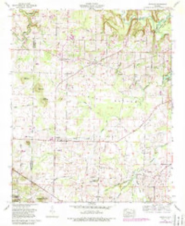
17 topographic sheets cover this place, the earliest surveyed in 1935 and the latest in 2000. It stands in the Danville census division. It lies in ZIP code area 35619. The Survey maps it on the Danville quadrangle. It stands 610 feet above sea level.
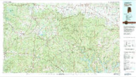
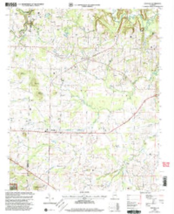
Topographic sheets covering this place
11 surveys from 17 printed sheetsMatched by testing this settlement's coordinate against the published boundary of every sheet in the United States Geological Survey's historical collection. Each opens the scanned sheet at the Survey.
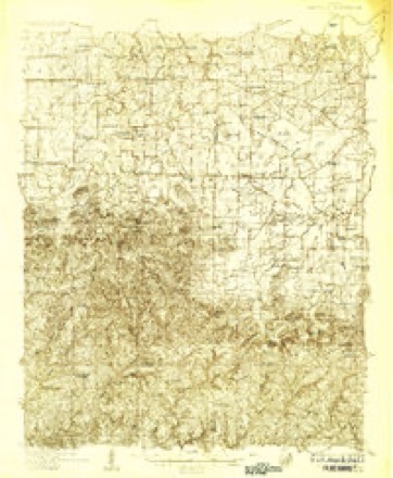
- 1935 USGS Danville quadrangle1:48000
- 1935 USGS Danville quadrangle1:62500
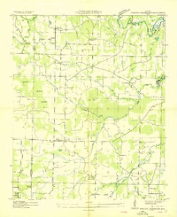
- 1936 USGS Stroups Crossroads quadrangle1:24000
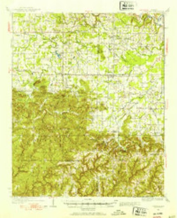
- 1938 USGS Danville quadrangle1:62500, 2 printings
- 1956 USGS Gadsden quadrangle1:250000, 3 printings
- 1958 USGS Gadsden quadrangle1:250000
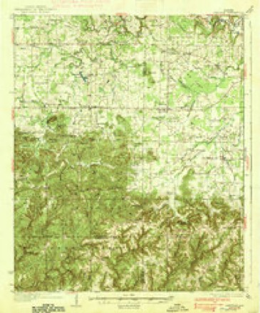
- 1960 USGS Danville quadrangle1:24000, 3 printings
- 1960 USGS Gadsden quadrangle1:250000, 2 printings
- 1963 USGS Gadsden quadrangle1:250000
- 1980 USGS Haleyville quadrangle1:100000
- 2000 USGS Danville quadrangle1:24000




Fires near this place
48 since 1993Regional context, not property-specific evidence. The federal wildfire occurrence database lists 48 fires within 5 miles of Danville between 1993 and 2018, burning about 716 acres in total. None started naturally. 11 were recorded as arson. Distance is straight-line from the map coordinates, so a fire counted here may appear on a neighbouring settlement's page as well.
| Reported cause | Fires |
|---|---|
| Debris and open burning | 19 |
| Arson/incendiarism | 11 |
| Missing data/not specified/undetermined | 10 |
| Recreation and ceremony | 4 |
| Equipment and vehicle use | 3 |
| Misuse of fire by a minor | 1 |
The most recent of them, most recent first, with the day each was reported and the service that recorded it.
| Date | Cause | Size | Reported by | Name on the report |
|---|---|---|---|---|
| 5 September 2000 | Arson/incendiarism | 1.0 acres | Alabama Forestry Commission | not named |
| 2 September 1999 | Missing data/not specified/undetermined | under an acre | Alabama Forestry Commission | not named |
| 18 September 2018 | Equipment and vehicle use | 1.0 acres | Alabama Forestry Commission | 20180918-2 |
| 17 September 2016 | Arson/incendiarism | 1.5 acres | Alabama Forestry Commission | 20160917-1 |
| 17 September 2016 | Recreation and ceremony | 70 acres | National Forests in Alabama | FLAT MOUNTAIN |
| 11 September 2002 | Arson/incendiarism | 4.0 acres | Alabama Forestry Commission | not named |
| 12 August 1999 | Arson/incendiarism | 90 acres | National Forests in Alabama | MULL MOUNTAIN |
| 1 August 2010 | Equipment and vehicle use | 7.0 acres | Alabama Forestry Commission | not named |
Settlements close enough to share some of these fires:
Storms near this place
32 since 1995Regional context, not property-specific evidence. The National Weather Service names Danville in 32 storm reports between 1995 and 2026: 15 thunderstorm wind, 9 hail, 6 flash flood, 2 tornado. No death or injury is recorded in these reports. Each account below is quoted exactly as the forecast office filed it, from the NOAA Storm Events Database, and each date opens the federal record of that event.
| When | Event | Place named | Harm | What the report says |
|---|---|---|---|---|
| April 2006 | Tornado (F1) | Danville | $80,000 | The tornado that touched down in southeast Lawrence county continued its track into southwest Morgan county and moved east through Danville, Alabama. The tornado produced light to moderate roof damage to the Danville high school gymnasium roof, roofs of the press boxes at the Danville high school football field and further damage to the back stop and outfield walls at the Danville high school baseball field. The tornado further uprooted several trees and produced minor roof and awning damage to six homes in Danville. The tornado further moved northeast and slightly damaged the roofs of four homes and destroyed a barn along Craze road, about two miles northeast of Danville, Alabama. |
| April 2006 | Hail | Danville | $25,000 | Golf ball size hail produced light to moderate damage to several cars and roof damage to a few homes. |
| June 2011 | Thunderstorm Wind | Danville | $10,000 | Trees were knocked down onto power lines causing power outages. |
| July 2010 | Thunderstorm Wind | Danville | $10,000 | A roof was peeled off a home along North Johnson Chapel Road. |
| June 2011 | Thunderstorm Wind | Danville | $8,000 | Trees were blown down at Danville high school. |
| April 2000 | Thunderstorm Wind | Danville | $5,000 | Several trees were knocked down throughout the western part of Morgan County. |
| July 1995 | Thunderstorm Wind | Danville | $5,000 | Numerous trees and power lines were reported down along Forrest Chapel Road in Danville. Lightning also struck a house causing a fire. |
| August 2023 | Thunderstorm Wind | Danville | $3,000 | Power lines were knocked down in the roadway in Danville. Time was estimated from radar data. |
| February 2024 | Thunderstorm Wind | Danville | $2,000 | The roof of a large barn was damaged at this location. |
| August 1995 | Thunderstorm Wind | Danville | $2,000 | A large tree was blown down across a road in the east part of Hartselle. A roof was reported blown off an out-building in Danville. |
| December 2025 | Thunderstorm Wind | Danville | $1,000 | A tree was reported down at the bridge blocking one lane at the intersection of highway 36 and Craze road in Hartselle. |
| August 2023 | Thunderstorm Wind | Danville | $1,000 | Trees were knocked down along Highway 36. Time estimated by radar. |
| April 2026 | Hail | Danville | - | Nickel-sized hail was reported in Danville. |
| February 2026 | Hail | Danville | - | Hail of just over 2 inches in diameter was reported in Danville. |
| February 2026 | Hail | Danville | - | Quarter sized hail was reported in Danville. |
| April 2019 | Thunderstorm Wind | Danville | - | Multiple trees were knocked down near Johnson Chapel Road. Time estimated from radar. |
| August 2018 | Thunderstorm Wind | Danville | - | Multiple trees were knocked down on Highwya 36. Time estimated by radar. |
| August 2018 | Thunderstorm Wind | Danville | - | Multiple trees down in Danville, and at least one tree was knocked down onto a vehicle. No injuries. |
| August 2018 | Thunderstorm Wind | Danville | - | Multiple trees were knocked down on Danville Road. Time estimated by radar. |
| February 2017 | Hail | Danville | - | Penny-sized hail was reported near Danville. |
| September 2017 | Hail | Danville | - | Nickel sized hail was reported in Danville. |
| December 2017 | Flash Flood | Danville | - | Flash flooding was reported along Craze Road along Johnson Chapel Creek. Road remains impassable and flooded as of 935am. |
| December 2017 | Flash Flood | Danville | - | Flash flooding reported on North Johnson Chapel Road at Johnson Chapel Creek. At least 6-12 inches of swift moving water over the road. Flash flooding continues as of 9am. |
| November 2016 | Tornado (EF3) | Danville | - | The tornado first touched down along Danville Road just east of the Lawrence County line. In this area, trees were snapped and uprooted. Minor damage was noted to a shed here. The tornado then moved northeast and strengthened as it crossed the intersection of Maddox Road and Johnson Chapel Road. Here hardwood trees were snapped near the base and a home suffered significant roof and structural damage.||Along northwest Maddox Road several homes sustained significant structural damage. One home had the roof and a large section of the wall blown out. The residents of the home rode the storm out safely in the interior most hallway. Several power poles were snapped at the base. Damage here was consistent with very high end EF-2 damage.||The tornado once again crossed Danville Road causing structural damage to several buildings including a multi-story home. Significant roof uplift was noted in this location. A large industrial garage in this area was also destroyed. A convenience store nearby suffered damage, and the owner's family received warning alerts and took shelter in an interior hallway to ride out the storm.||The tornado then approached Neel School Road causing significant damage in and around the Neel Volunteer Fire Department. The roof was nearly completely taken off the fire department and large metal trusses were bent at this facility. A nearby large building was obliterated and other well built structure had its roof and supports taken off.||As the tornado moved northeast, it cross Singleton Road impacting more structures. Several homes sustained structural damage, mainly roof damage. One very large building was completely destroyed with another sustaining near collapse. The tornado then reached its maximum intensity as it crossed Boys Ranch Road on the eastern edge of Bogar Loop.||Here a home suffered complete roof loss and partial wall collapse. An anchored mobile home was obliterated with the contents thrown over 100 yards. A motor cycle repair shop that included an anchor bolted large shop building was nearly wiped clean with motorcycles thrown or rolled large distances. An SUV parked here was thrown and then rolled about 75 yards. Damage here was consistent with lower end EF-3 damage at 140 mph.||The tornado then crossed mostly rugged, hilly and rural terrain downing trees as it began to slowly wind down in intensity. The tornado then once again crossed Danville Road north of McCleskey producing widespread tree damage. Here very large hardwood trees were snapped near the based and uprooted. A home here sustained damage to the roof and also damage due to falling trees. A large shed/outbuilding here was destroyed. As the tornado crossed Herring Road it produced damage to a roof on a conventional home and also significant roof and structural damage to|a mobile home. On the northeast side of Herring Road minor tree damage was noted as the tornado finally lifted. |
| June 2014 | Thunderstorm Wind | Danville | - | Thunderstorm winds knocked down trees and power lines. The time was estimated by radar. |
| July 2013 | Flash Flood | Danville | - | Danville Road was closed just north of Highway 36 due to a large part of the road being washed away. Significant repairs were necessary to repair this roadway. Other parts of Danville Road were closed due to significant heavy rain and high water. |
| June 2013 | Hail | Danville | - | Golf ball sized hail was reported in Danville. |
| March 2009 | Flash Flood | Danville | - | Flash flooding forced the closure of New Cut road southwest of Hartselle. |
| May 2009 | Flash Flood | Danville | - | Heavy rainfall from strong to severe thunderstorms caused water to cover the road at portions of New Cut Road. |
| May 2009 | Flash Flood | Danville | - | Runoff produced flooding on New Cut Road. |
| June 2008 | Hail | Danville | - | A severe thunderstorm produced nickel size hail near Danville. |
| July 1995 | Hail | Danville | - | One-half inch hail was reported at Danville. |
Nearest settlements
The eight closest, with where each one stands in the county. Distances are straight-line, computed from the Geographic Names Information System coordinates.
| Map | Place | Distance | Sheets |
|---|---|---|---|
| Pumpkin Center | 3.7 miles | 17 | |
| Neel | 3.8 miles | 17 | |
| Penn | 4.0 miles | 18 | |
| Camp Ground | 4.4 miles | 18 | |
| Massey | 4.6 miles | 18 | |
| Andrews Chapel | 5.3 miles | 18 | |
| Cedar Plains | 5.9 miles | 20 | |
| Oak Ridge | 6.6 miles | 19 |
Elsewhere
Matched on this settlement's Geographic Names Information System number rather than its name, so it cannot be a different place of the same name in another state.
| Wikipedia article on Danville | An encyclopaedic summary. Its text is share-alike, so it is linked here rather than copied. |
| Wikidata item Q3710676 | The structured record the population and elevation above come from. Public domain (CC0). |
Provenance
This settlement is recorded in the Geographic Names Information System as feature 159483. The sheet list is computed by point-in-boundary test against the United States Geological Survey's historical topographic inventory. Both are works of the United States government and carry no copyright under 17 U.S.C. 105.
Wildfire. Short, Karen C. 2022. Spatial wildfire occurrence data for the United States, 1992-2020 [FPA_FOD_20221014]. 6th Edition. Fort Collins, CO: Forest Service Research Data Archive. https://doi.org/10.2737/RDS-2013-0009.6 Collected with United States Government funding and usable without additional permissions or fees.
Storms. NOAA National Centers for Environmental Information, Storm Events Database https://www.ncei.noaa.gov/stormevents/ A work of the United States government, no copyright under 17 U.S.C. 105. Narratives are quoted verbatim from the National Weather Service report and are not edited or summarised.