 Block
Pumpkin Center, Alabama
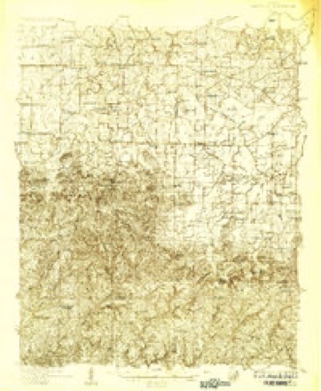
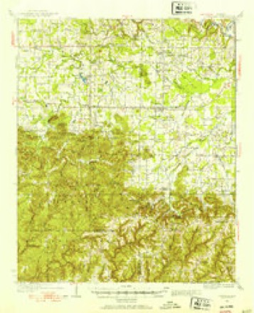
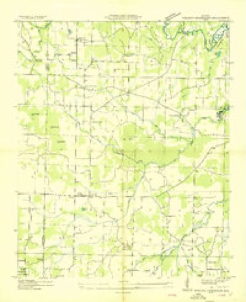
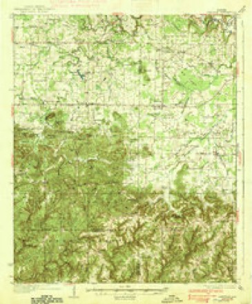
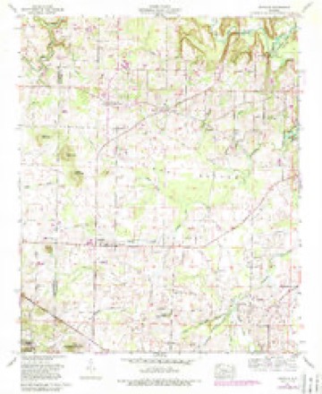
17 topographic sheets cover this place, the earliest surveyed in 1935 and the latest in 2000. It stands in the Danville census division. It lies in ZIP code area 35619. It stands on Rovers Branch. The Survey maps it on the Danville quadrangle.
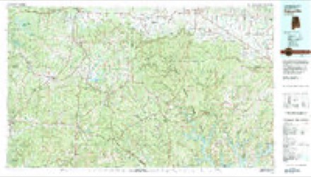
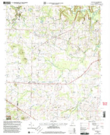
Topographic sheets covering this place
11 surveys from 17 printed sheetsMatched by testing this settlement's coordinate against the published boundary of every sheet in the United States Geological Survey's historical collection. Each opens the scanned sheet at the Survey.
- 1935 USGS Danville quadrangle1:48000
- 1935 USGS Danville quadrangle1:62500
- 1936 USGS Stroups Crossroads quadrangle1:24000
- 1938 USGS Danville quadrangle1:62500, 2 printings
- 1956 USGS Gadsden quadrangle1:250000, 3 printings
- 1958 USGS Gadsden quadrangle1:250000
- 1960 USGS Danville quadrangle1:24000, 3 printings
- 1960 USGS Gadsden quadrangle1:250000, 2 printings
- 1963 USGS Gadsden quadrangle1:250000
- 1980 USGS Haleyville quadrangle1:100000
- 2000 USGS Danville quadrangle1:24000




Fires near this place
49 since 1994Regional context, not property-specific evidence. The federal wildfire occurrence database lists 49 fires within 5 miles of Pumpkin Center between 1994 and 2019, burning about 521 acres in total. None started naturally. 12 were recorded as arson. Distance is straight-line from the map coordinates, so a fire counted here may appear on a neighbouring settlement's page as well.
| Reported cause | Fires |
|---|---|
| Debris and open burning | 19 |
| Arson/incendiarism | 12 |
| Missing data/not specified/undetermined | 10 |
| Recreation and ceremony | 4 |
| Equipment and vehicle use | 3 |
| Misuse of fire by a minor | 1 |
The most recent of them, most recent first, with the day each was reported and the service that recorded it.
| Date | Cause | Size | Reported by | Name on the report |
|---|---|---|---|---|
| 5 September 2000 | Arson/incendiarism | 1.0 acres | Alabama Forestry Commission | not named |
| 5 September 1995 | Recreation and ceremony | 20 acres | Alabama Forestry Commission | not named |
| 18 September 2018 | Equipment and vehicle use | 1.0 acres | Alabama Forestry Commission | 20180918-2 |
| 11 September 2002 | Arson/incendiarism | 4.0 acres | Alabama Forestry Commission | not named |
| 8 August 2017 | Missing data/not specified/undetermined | under an acre | Alabama Forestry Commission | 20170808-1 |
| 28 August 2018 | Arson/incendiarism | 4.0 acres | Alabama Forestry Commission | 20180828-3 |
| 3 July 2012 | Equipment and vehicle use | 17 acres | Alabama Forestry Commission | NOR-20120703-007 |
| 22 June 2016 | Debris and open burning | 2.0 acres | Alabama Forestry Commission | 20160622-2 |
Settlements close enough to share some of these fires:
Storms near this place
20 since 2008Regional context, not property-specific evidence. The National Weather Service names Pumpkin Center in 20 storm reports between 2008 and 2024: 15 thunderstorm wind, 3 tornado, 2 lightning. The reports record 1 injury. Each account below is quoted exactly as the forecast office filed it, from the NOAA Storm Events Database, and each date opens the federal record of that event.
| When | Event | Place named | Harm | What the report says |
|---|---|---|---|---|
| September 2020 | Lightning | Pumpkin Center | 1 hurt | A 14-year old male was struck by lightning at the 1500 block of Neel School Road. Little information was available, but the injury was not believed to be serious. Time and location of strike were confirmed by NOAA's NCEI Severe Weather Data Inventory. |
| April 2011 | Lightning | Pumpkin Center | $500,000 | Lightning sparked a fire at the Bellview Baptist Church on Old Moulton Road. The fire destroyed the education building and fellowship hall. Lightning data from the NCDC Severe Weather Data Inventory correlated the location and time of the strike. |
| May 2009 | Tornado (EF1) | Pumpkin Center | $50,000 | The tornado continued its track northeast into western portions of Morgan County. Numerous large trees were uprooted and snapped along it's path. Minor structural damage to homes occurred as trees were knocked down onto them. The tornado lifted about half of a mile north of the intersection of Raper Road and Pleasant Hill Road. |
| April 2009 | Tornado (EF0) | Pumpkin Center | $25,000 | An EF-0 tornado snapped and uprooted several large trees between Punkin Center and Neel, just north of Iron Man Road. It also downed a tree on a mobile home off of Blankenship Road, but luckily no one was injured. Additional trees were trees were snapped and uprooted along Hazel Street. |
| June 2009 | Thunderstorm Wind | Pumpkin Center | $10,000 | Thunderstorm winds knocked trees down throughout the county. |
| October 2009 | Thunderstorm Wind | Pumpkin Center | $10,000 | Several trees were blown down and a trailer was damaged near Neel School Road. |
| October 2009 | Thunderstorm Wind | Pumpkin Center | $7,000 | A tree was blown down on a trailer on Guyer Brown Private Drive. People in the trailer were trapped in the trailer and later rescued. |
| October 2009 | Thunderstorm Wind | Pumpkin Center | $5,000 | Several trees were blown down south of Pumpkin Center. |
| August 2023 | Thunderstorm Wind | Pumpkin Center | $3,000 | Trees were reported down and blocking road in the Eva community. |
| April 2011 | Thunderstorm Wind | Pumpkin Center | $3,000 | A large tree was uprooted on Brown Road in Danville. |
| March 2023 | Thunderstorm Wind | Pumpkin Center | $2,000 | Multiple trees were knocked down on Kirby Bridge Road west of Hartselle and north of Danville. |
| July 2009 | Thunderstorm Wind | Pumpkin Center | $2,000 | A tree was blown down across Kirby Bridge road. |
| October 2009 | Thunderstorm Wind | Pumpkin Center | $2,000 | Trees were reported down on Kirby Ridge Road and Liberty Road. |
| December 2024 | Thunderstorm Wind | Pumpkin Center | $1,000 | Power lines were knocked down on the road at this location. |
| July 2023 | Thunderstorm Wind | Pumpkin Center | $1,000 | Trees were knocked down on Boys Ranch Road and Roberts Road. |
| June 2017 | Thunderstorm Wind | Pumpkin Center | $1,000 | Multiple trees were knocked down on Blankenship Road. |
| April 2019 | Thunderstorm Wind | Pumpkin Center | $500 | A large tree was knocked down and power outages were reported at this location. |
| April 2019 | Thunderstorm Wind | Pumpkin Center | - | Trees were knocked down at Eddie Road at Kirby Bridge Road, and at Johnson Road at Boys Ranch Road. Time estimated from radar. |
| January 2013 | Thunderstorm Wind | Pumpkin Center | - | A tree was knocked onto a mobile home on Liberty Road in the Punkin Center area. Additional trees were blown down onto powerlines in this area. The time was estimated by radar. |
| February 2008 | Tornado (EF2) | Pumpkin Center | - | Representatives from the National Weather Service conducted a storm survey of damage in Morgan County, Alabama that occurred early on February 6th, 2008.||The tornado continued its destructive path from Lawrence into Morgan County about 5 miles southwest of Decatur. The tornado tracked another 2.7 miles into Morgan County lifting near the Trinity community west of Decatur around 3:20 AM CST. |
Nearest settlements
The eight closest, with where each one stands in the county. Distances are straight-line, computed from the Geographic Names Information System coordinates.
| Map | Place | Distance | Sheets |
|---|---|---|---|
| Neel | 1.4 miles | 17 | |
| Wolftown | 3.3 miles | 15 | |
| Danville | 3.7 miles | 17 | |
| Basham | 4.9 miles | 15 | |
| Oak Ridge | 4.9 miles | 19 | |
| Longleaf Estates | 7.1 miles | 25 | |
| Flint City | 7.3 miles | 25 | |
| Massey | 7.5 miles | 18 |
Provenance
This settlement is recorded in the Geographic Names Information System as feature 160456. The sheet list is computed by point-in-boundary test against the United States Geological Survey's historical topographic inventory. Both are works of the United States government and carry no copyright under 17 U.S.C. 105.
Wildfire. Short, Karen C. 2022. Spatial wildfire occurrence data for the United States, 1992-2020 [FPA_FOD_20221014]. 6th Edition. Fort Collins, CO: Forest Service Research Data Archive. https://doi.org/10.2737/RDS-2013-0009.6 Collected with United States Government funding and usable without additional permissions or fees.
Storms. NOAA National Centers for Environmental Information, Storm Events Database https://www.ncei.noaa.gov/stormevents/ A work of the United States government, no copyright under 17 U.S.C. 105. Narratives are quoted verbatim from the National Weather Service report and are not edited or summarised.