 Block
Daphne, Alabama
21 topographic sheets cover this place, the earliest surveyed in 1921 and the latest in 1981. It stands in the Daphne census division. It lies in ZIP code area 36526. The Survey maps it on the Daphne quadrangle. 27,462 people lived here at the 2020 count. It stands 157 feet above sea level.
On record in Daphne
Buildings and businesses the archive holds for this place. Each opens its own page, with the source record it came from.
On the National Register 9 records
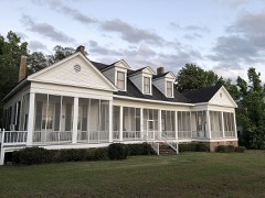 Manly-Strong Houselisted 2019
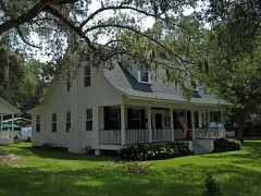 McMillan Houselisted 1988
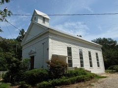 Methodist Episcopal Church, Southlisted 1980
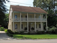 Texas, Thelisted 1988
- Captain Adams Houselisted 1988
- George W. Cullum Houselisted 1990
- Malbis Plantationlisted 2011
- Lewis Starke Houselisted 1990
- Walker Houselisted 1988
Population over time
2 figuresDaphne grew from 21,570 to 27,462 between 2010 and 2020. These are the recorded population figures Wikidata holds for this place, reached through the Geographic Names Information System number this page is keyed on rather than by name, so they belong to this place and not to another of the same name. Most are census counts, but not all are: an early figure may be a founding or settlement estimate, and an estimate published within five years of a census is left out. The change column is computed, and is left blank where more than 20 years separate a figure from the one before it, because a gap that long is not a change between two counts.
| Year | People | Change |
|---|---|---|
| 2010 | 21,570 | |
| 2020 | 27,462 | +5,892 (+27%) |
Topographic sheets covering this place
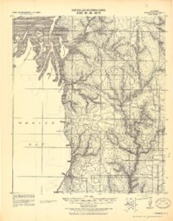
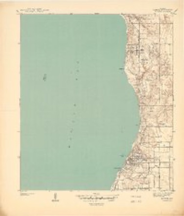
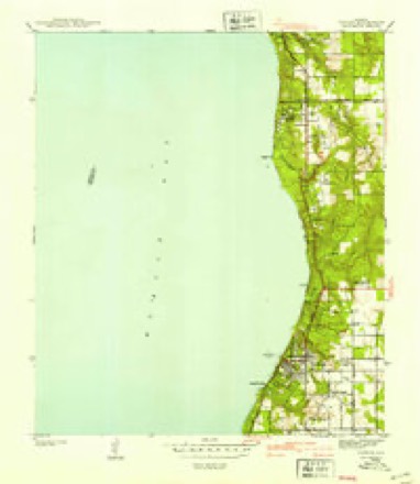
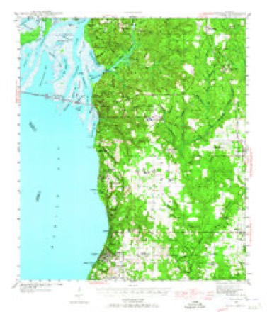
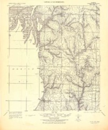
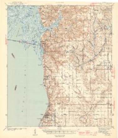
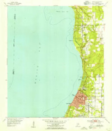
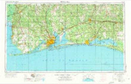
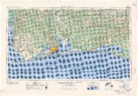
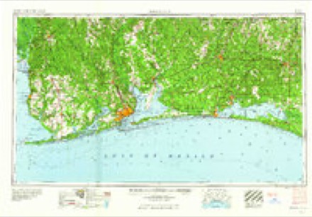
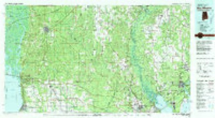
11 surveys from 21 printed sheetsMatched by testing this settlement's coordinate against the published boundary of every sheet in the United States Geological Survey's historical collection. Each opens the scanned sheet at the Survey.
- 1921 USGS Fairhope quadrangle1:62500
- 1939 USGS Daphne quadrangle1:31680
- 1941 USGS Daphne quadrangle1:31680, 2 printings
- 1941 USGS Fairhope quadrangle1:62500
- 1943 USGS Fairhope quadrangle1:62500
- 1944 USGS Fairhope quadrangle1:62500, 3 printings
- 1953 USGS Daphne quadrangle1:24000, 5 printings
- 1957 USGS Pensacola quadrangle1:250000, 3 printings
- 1959 USGS Pensacola quadrangle1:250000
- 1960 USGS Pensacola quadrangle1:250000
- 1981 USGS Bay Minette quadrangle1:100000, 2 printings
Fires near this place
50 since 1995Regional context, not property-specific evidence. The federal wildfire occurrence database lists 50 fires within 5 miles of Daphne between 1995 and 2020, burning about 360 acres in total. 2 started naturally. 18 were recorded as arson. Distance is straight-line from the map coordinates, so a fire counted here may appear on a neighbouring settlement's page as well.
| Reported cause | Fires |
|---|---|
| Arson/incendiarism | 18 |
| Missing data/not specified/undetermined | 11 |
| Debris and open burning | 9 |
| Equipment and vehicle use | 4 |
| Misuse of fire by a minor | 3 |
| Recreation and ceremony | 3 |
| Natural | 2 |
The most recent of them, most recent first, with the day each was reported and the service that recorded it.
| Date | Cause | Size | Reported by | Name on the report |
|---|---|---|---|---|
| 30 September 2003 | Arson/incendiarism | 1.0 acres | Alabama Forestry Commission | not named |
| 20 September 2015 | Equipment and vehicle use | under an acre | Alabama Forestry Commission | SWR-20150920-009 |
| 9 August 2010 | Missing data/not specified/undetermined | under an acre | Alabama Forestry Commission | not named |
| 29 August 2011 | Arson/incendiarism | under an acre | Alabama Forestry Commission | 26680 POLLARD ROAD, AL |
| 11 August 1999 | Debris and open burning | under an acre | Alabama Forestry Commission | not named |
| 31 July 2010 | Natural | 25 acres | Alabama Forestry Commission | not named |
| 20 July 2009 | Misuse of fire by a minor | under an acre | Alabama Forestry Commission | 10407 HWY 31, AL |
| 5 June 2011 | Arson/incendiarism | 50 acres | Alabama Forestry Commission | HWY 90, AL |
Settlements close enough to share some of these fires:
Mines and quarries near this place
4 within 5 milesRegional context, not property-specific evidence. The federal mineral resources record lists 4 workings within 5 miles of Daphne: 2 prospects, 1 past producer, 1 producer. 1 still produces. What was taken out: Sand and Gravel, Construction, Clay, Kaolin, Sand and Gravel, Construction, Clay. Distance is straight-line from the map coordinates, so a quarry counted here may appear on a neighbouring settlement's page as well.
| Where | Site | Commodity | Status | Recorded |
|---|---|---|---|---|
| Bal 2 Clay Prospect | Clay | Prospect | ||
| Palmer Pit | Sand and Gravel, Construction | Past Producer | ||
| Unnamed Quarry | Sand and Gravel, Construction, Clay | Producer | Clay, Quartz | |
| Y P S Kaolin Prospect | Kaolin | Prospect |
Storms near this place
32 since 1994Regional context, not property-specific evidence. The National Weather Service names Daphne in 32 storm reports between 1994 and 2023: 10 hail, 10 thunderstorm wind, 7 lightning, 3 flash flood. The reports record 1 injury. Each account below is quoted exactly as the forecast office filed it, from the NOAA Storm Events Database, and each date opens the federal record of that event.
| When | Event | Place named | Harm | What the report says |
|---|---|---|---|---|
| May 2006 | Lightning | Daphne | 1 hurt, $15,000 | A 65 year old female was praying for her families safe return from a Memorial Day trip to the beach when lightning struck nearby. She was standing next to her refrigerator when a ball of lightning exploded out of her kitchen floor. She was knocked to the floor and was found by her family a few minutes later. The lightning appeared to have struck across the street from her home and ran into the house through a water line. The lightning continued into her backyard and ripped open a small trench. Pieces of concrete were scattered throughout the kitchen. She said her dog had tried to block her way into the kitchen only minutes before the strike occurred. She refused to go to a hospital. |
| April 1996 | Flash Flood | Daphne | $200,000 | no account filed |
| January 1998 | Lightning | Daphne | $100,000 | Lightning struck a home just north of Daphne. The home caught on fire and burned to the ground. No one was home at the time of the fire. |
| October 2006 | Lightning | Daphne | $30,000 | Lightning struck the chimney on a home in Daphne. The strike caused a gas fire in the chimney that damaged the home. |
| November 2002 | Thunderstorm Wind | Daphne | $15,000 | Strong thunderstorm winds damaged the roof of a condo. |
| December 2010 | Thunderstorm Wind | Daphne | $10,000 | Winds estimated at 60 mph downed trees down and caused damage to cars and buses at Daphne Middle School. |
| July 2009 | Thunderstorm Wind | Daphne | $10,000 | Winds estimated at 60 mph downed trees across County Road 54. |
| December 2002 | Thunderstorm Wind | Daphne | $8,000 | High winds from a thunderstorm blew down trees and power lines near Daphne. |
| September 2000 | Thunderstorm Wind | Daphne | $5,000 | High thunderstorm winds blew down trees in and around the community. |
| September 2000 | Lightning | Daphne | $5,000 | Lightning struck a tree outside a home and ran along a path into the home, where it knocked a man to the ground. The man was uninjured, but the lightning blew out several appliances in the home. |
| August 2001 | Lightning | Daphne | $3,000 | Lightning hit a gas line going into a home. The gas line ruptured and started a fire in the house. The fire department quickly extinguished the blaze. |
| July 1999 | Lightning | Daphne | $3,000 | Lightning struck a tree in the Lake Forest subdivision and travelled through a nearby house. The lightning knocked out many appliances in the home. |
| July 2012 | Thunderstorm Wind | Daphne | $2,000 | Winds estimated at 60 mph downed a power line down on Hwy. 31. |
| August 1995 | Thunderstorm Wind | Daphne | $2,000 | Several trees were blown down by high winds in the Daphne area. |
| April 2023 | Thunderstorm Wind | Daphne | - | High winds downed in the Lake Forest community. |
| October 2022 | Tornado (EF0) | Daphne | - | The tornado likely began south of Daphne Ave where light tree|debris was noted. Sporadic light wind damage was noted before|this location. The tornado then crossed Daphne Ave where it|brought down a couple hardwoods including a couple significant|snaps. However, the health of the trees were in question and|given the lack of other damage indicators, especially to|healthier trees, a lower bound damage rating was designated. A|convergent path was noted here. albeit weak, it was noticeable.|The tornado then crossed Randall Ave with some tree branches|snapped and one uproot. One home lost some shingles before the|tornado likely lifted north of Randall Ave. |
| May 2022 | Tornado (EF1) | Daphne | - | A brief EF1 tornado first touched down just north of County Road 64,|west of Capital Drive. A home at this location was damaged by an|downed tree. The tornado then moved northeast and significantly|damaged a large metal building at the intersection of Capital Drive|and Rand Avenue, pulling exterior wall panels and brick facade from|the east side of the building. The tornado also picked up two large|metal sheds and tossed them in different directions. The tree damage|in the area also displayed a convergent pattern. The tornado lifted|near or just before it reached Public Works Road. |
| June 2022 | Flash Flood | Daphne | - | Heavy rain caused Johnson Road between Main Street and Highway 98 to be closed. |
| July 2020 | Thunderstorm Wind | Daphne | - | High winds downed a large tree a quarter of a mile south of Daphne on Highway 98. |
| June 2019 | Thunderstorm Wind | Daphne | - | High winds downed trees along County Road 64 and CR 13. |
| May 2012 | Flash Flood | Daphne | - | Highway 90 west of Highway 13 closed due to water over the road. |
| August 2005 | Lightning | Daphne | - | A student at Daphne High School was walking to his vehicle when lightning struck near him and knocked him to the ground. He was examined at the scene and refused to go to the hospital. |
| June 1999 | Hail | Daphne | - | Nickel to dime size hail was reported near Daphne. |
| March 1995 | Hail | Daphne | - | Golf ball-size hail was reported near Daphne. |
| March 1994 | Hail | Daphne | - | A five-minute duration of nickel-size hail was reported by the Daphne Police Department. There was a significant outbreak of severe weather across north and central Alabama on Palm Sunday, March 27, 1994. The severe weather began in the morning around 0900 CST and continued throughout the day and into the nighttime hours. The weather affected Alabama in waves with four waves of weather moving through the state. In trying to unravel the events of the day after the fact, there is a great deal of confusion and uncertainty about the times of many events. This stems from the fact that these waves of severe weather moved over many of the same counties three or four times. Every attempt has been made to get this information as correct as possible. It is also possible that some smaller events may not have been reported since there was so much attention drawn to the three major tornado events in Dekalb, St. Clair, Calhoun, Cherokee, and Shelby Counties. |
| June 2023 | Hail | Daphne | - | no account filed |
| May 2013 | Hail | Daphne | - | no account filed |
| February 2008 | Hail | Daphne | - | no account filed |
| July 2003 | Hail | Daphne | - | no account filed |
| April 2002 | Hail | Daphne | - | no account filed |
| April 2002 | Hail | Daphne | - | no account filed |
| March 2001 | Hail | Daphne | - | no account filed |
Nearest settlements
The eight closest, with where each one stands in the county. Distances are straight-line, computed from the Geographic Names Information System coordinates.
| Map | Place | Distance | Sheets |
|---|---|---|---|
| Jackson Oak | 1.4 miles | 21 | |
| Montrose | 2.6 miles | 21 | |
| Belforest | 2.7 miles | 18 | |
| Park City | 2.8 miles | 24 | |
| Yelling Settlement | 3.8 miles | 18 | |
| Seacliff | 4.0 miles | 21 | |
| Bridgehead | 4.5 miles | 24 | |
| Malbis | 4.5 miles | 18 |
Elsewhere
Matched on this settlement's Geographic Names Information System number rather than its name, so it cannot be a different place of the same name in another state.
| Wikipedia article on Daphne | An encyclopaedic summary. Its text is share-alike, so it is linked here rather than copied. |
| Wikidata item Q79461 | The structured record the population and elevation above come from. Public domain (CC0). |
Provenance
This settlement is recorded in the Geographic Names Information System as feature 157933. The sheet list is computed by point-in-boundary test against the United States Geological Survey's historical topographic inventory. Both are works of the United States government and carry no copyright under 17 U.S.C. 105.
Wildfire. Short, Karen C. 2022. Spatial wildfire occurrence data for the United States, 1992-2020 [FPA_FOD_20221014]. 6th Edition. Fort Collins, CO: Forest Service Research Data Archive. https://doi.org/10.2737/RDS-2013-0009.6 Collected with United States Government funding and usable without additional permissions or fees.
Mines and quarries. USGS Mineral Resources Data System (MRDS) https://mrdata.usgs.gov/mrds/ A work of the United States government, no copyright under 17 U.S.C. 105.
Storms. NOAA National Centers for Environmental Information, Storm Events Database https://www.ncei.noaa.gov/stormevents/ A work of the United States government, no copyright under 17 U.S.C. 105. Narratives are quoted verbatim from the National Weather Service report and are not edited or summarised.