 Block
Griffin Addition, Alabama
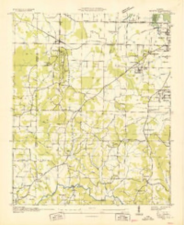
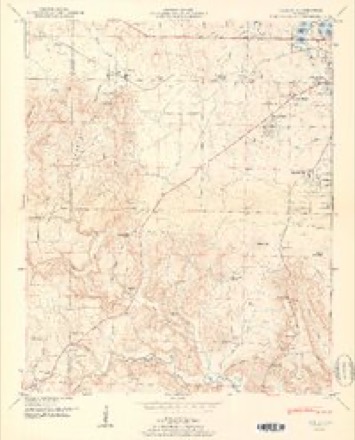
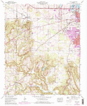
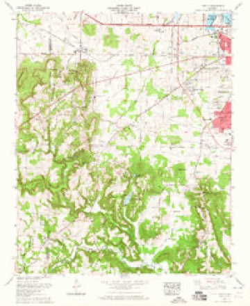
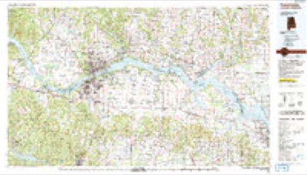
15 topographic sheets cover this place, the earliest surveyed in 1936 and the latest in 1986. It stands in the Decatur census division. It lies in ZIP code area 35601. The Survey maps it on the Trinity quadrangle.
Topographic sheets covering this place
9 surveys from 15 printed sheetsMatched by testing this settlement's coordinate against the published boundary of every sheet in the United States Geological Survey's historical collection. Each opens the scanned sheet at the Survey.
- 1936 USGS Trinity quadrangle1:24000
- 1950 USGS Trinity quadrangle1:24000, 2 printings
- 1956 USGS Gadsden quadrangle1:250000, 3 printings
- 1958 USGS Gadsden quadrangle1:250000
- 1960 USGS Gadsden quadrangle1:250000, 2 printings
- 1962 USGS Trinity quadrangle1:24000
- 1963 USGS Gadsden quadrangle1:250000
- 1963 USGS Trinity quadrangle1:24000
- 1986 USGS Tuscumbia quadrangle1:100000, 3 printings




Fires near this place
39 since 1995Regional context, not property-specific evidence. The federal wildfire occurrence database lists 39 fires within 5 miles of Griffin Addition between 1995 and 2016, burning about 293 acres in total. None started naturally. 4 were recorded as arson. Distance is straight-line from the map coordinates, so a fire counted here may appear on a neighbouring settlement's page as well.
| Reported cause | Fires |
|---|---|
| Missing data/not specified/undetermined | 13 |
| Debris and open burning | 8 |
| Recreation and ceremony | 6 |
| Equipment and vehicle use | 5 |
| Arson/incendiarism | 4 |
| Misuse of fire by a minor | 3 |
The most recent of them, most recent first, with the day each was reported and the service that recorded it.
| Date | Cause | Size | Reported by | Name on the report |
|---|---|---|---|---|
| 7 September 2015 | Misuse of fire by a minor | under an acre | Alabama Forestry Commission | NOR-20150908-001 |
| 5 September 1995 | Recreation and ceremony | under an acre | Alabama Forestry Commission | not named |
| 26 August 1998 | Equipment and vehicle use | 40 acres | Alabama Forestry Commission | not named |
| 17 August 2000 | Equipment and vehicle use | 40 acres | Alabama Forestry Commission | not named |
| 3 July 2012 | Missing data/not specified/undetermined | under an acre | Alabama Forestry Commission | NOR-20120703-005 |
| 29 June 2015 | Missing data/not specified/undetermined | under an acre | Alabama Forestry Commission | NOR-20150630-003 |
| 29 June 2015 | Missing data/not specified/undetermined | under an acre | Alabama Forestry Commission | NOR-20150701-001 |
| 29 June 1998 | Arson/incendiarism | under an acre | Alabama Forestry Commission | not named |
Settlements close enough to share some of these fires:
Mines and quarries near this place
1 within 5 milesRegional context, not property-specific evidence. The federal mineral resources record lists 1 working within 5 miles of Griffin Addition: 1 producer. All of them still produce. What was taken out: Stone, Crushed/Broken. Distance is straight-line from the map coordinates, so a quarry counted here may appear on a neighbouring settlement's page as well.
| Where | Site | Commodity | Status | Recorded |
|---|---|---|---|---|
| Plant 1 Pit | Stone, Crushed/Broken | Producer |
Storms near this place
18 since 2009Regional context, not property-specific evidence. The National Weather Service names Griffin Addition in 18 storm reports between 2009 and 2025: 7 hail, 6 thunderstorm wind, 3 flash flood, 2 flood. No death or injury is recorded in these reports. Each account below is quoted exactly as the forecast office filed it, from the NOAA Storm Events Database, and each date opens the federal record of that event.
| When | Event | Place named | Harm | What the report says |
|---|---|---|---|---|
| June 2009 | Thunderstorm Wind | Griffin Addition | $500,000 | The rear flank downdraft from a large steady state supercell produced straight lined wind gusts between 65 and 75 mph across much of southern and central Morgan county. The damage path from the storm began just over the border in Lawrence county along CR 431 north of Caddo, where several trees were blown down. The damaging winds then spread southeast into southern portions of Decatur and Priceville. Numerous trees were reported down along this portion of the path and some damage to structures occurred. A gust to 75 mph was reported east of Hartselle on Highway 67 S. Damage to structures included: an automobile dealership sign blown down in the southern portions of Decatur and minor damage to homes. Damage was more sporadic near the Stringer community, which is a very rural area. As the storm pushed southeast of Florette, it's rear flank downdraft produced it's most devastating straight lined winds in the Eva, Center Dale, and Gum Pond communities (damage roughly covered 16 square miles). In these locations, numerous trees were snapped or uprooted, including many hardwood trees. Power poles were also snapped and some homes received minor to moderate damage. Peak wind gusts were estimated to reach 95 mph in this portion of the storm track. A few more trees were blown down near the Marshall and Cullman county border from this storm. |
| July 2009 | Thunderstorm Wind | Griffin Addition | $2,000 | A tree was blown down on the 1900 block of Woodmead Street SW. |
| April 2025 | Thunderstorm Wind | Griffin Addition | $1,000 | A tree was knocked down onto power lines on Terrapin Drive. |
| December 2024 | Thunderstorm Wind | Griffin Addition | $1,000 | A power line was knocked down at Modaus Road SW at Harold Drive. |
| July 2024 | Thunderstorm Wind | Griffin Addition | $1,000 | A tree was reported down across the road at West Chapel Hill Road and Old Moulton Road. |
| April 2025 | Hail | Griffin Addition | - | Quarter size hail was reported at this location off of West Brownstone Court SW. |
| April 2025 | Hail | Griffin Addition | - | Quarter size hail was reported network near Westmead Steet SW by an observer associated with the MPING observational network. |
| April 2025 | Hail | Griffin Addition | - | Quarter size hail was reported near the Julian Harris Elementary School. |
| April 2025 | Hail | Griffin Addition | - | Ping pong size hail was reported near Westmead Street SW by an observer with the MPING network. |
| May 2025 | Hail | Griffin Addition | - | Quarter size hail was reported at the General Hospital off of Beltline Road Southwest in Decatur. |
| September 2021 | Flood | Griffin Addition | - | Flooding across the roadway at Shady Grove Lane and Bunny Lane. Pictures seen on social media. |
| September 2021 | Flood | Griffin Addition | - | Flooding in the Sherwood Oaks neighborhood from social media. |
| March 2020 | Thunderstorm Wind | Griffin Addition | - | Several trees were knocked down on the south side of Highway 24 entering Decatur. Time estimated by radar. A nearby CWOP station AV155 at 34.63483/-87.08033 measured a wind gust of 56 mph. |
| March 2011 | Flash Flood | Griffin Addition | - | Flash flooding prompted the closure of Lake Have Road at Old Moulton Road. |
| April 2009 | Flash Flood | Griffin Addition | - | Heavy rainfall caused flash flooding to occur and producing half a foot of standing water over Danville Road southwest of Decatur. |
| June 2009 | Hail | Griffin Addition | - | Quarter sized hail was reported in southwest Decatur. |
| June 2009 | Hail | Griffin Addition | - | Nickel size hail was reported in the southwestern portion of Decatur. |
| August 2009 | Flash Flood | Griffin Addition | - | High water resulting from heavy rainfall closed a road near the intersection of Hudson Road and Lamon Drive in Decatur. |
Nearest settlements
The eight closest, with where each one stands in the county. Distances are straight-line, computed from the Geographic Names Information System coordinates.
| Map | Place | Distance | Sheets |
|---|---|---|---|
| Moulton Heights | 0.8 miles | 15 | |
| Austinville | 1.1 miles | 15 | |
| Simpson | 1.2 miles | 15 | |
| Sherwood Estates | 1.3 miles | 15 | |
| Oakworth | 1.7 miles | 25 | |
| West Decatur | 1.8 miles | 25 | |
| Decatur | 2.4 miles | 25 | |
| Russell Village | 2.4 miles | 25 |
Provenance
This settlement is recorded in the Geographic Names Information System as feature 119400. The sheet list is computed by point-in-boundary test against the United States Geological Survey's historical topographic inventory. Both are works of the United States government and carry no copyright under 17 U.S.C. 105.
Wildfire. Short, Karen C. 2022. Spatial wildfire occurrence data for the United States, 1992-2020 [FPA_FOD_20221014]. 6th Edition. Fort Collins, CO: Forest Service Research Data Archive. https://doi.org/10.2737/RDS-2013-0009.6 Collected with United States Government funding and usable without additional permissions or fees.
Mines and quarries. USGS Mineral Resources Data System (MRDS) https://mrdata.usgs.gov/mrds/ A work of the United States government, no copyright under 17 U.S.C. 105.
Storms. NOAA National Centers for Environmental Information, Storm Events Database https://www.ncei.noaa.gov/stormevents/ A work of the United States government, no copyright under 17 U.S.C. 105. Narratives are quoted verbatim from the National Weather Service report and are not edited or summarised.