 Block
Oakworth, Alabama
25 topographic sheets cover this place, the earliest surveyed in 1888 and the latest in 1984. It stands in the Decatur census division. It lies in ZIP code area 35601. It stands on Clark Spring Branch. The Survey maps it on the Decatur quadrangle.
On record in Oakworth
Buildings and businesses the archive holds for this place. Each opens its own page, with the source record it came from.
On the National Register within a mile 4 records
The National Register names another town for these. They stand within one mile of this settlement's coordinate.
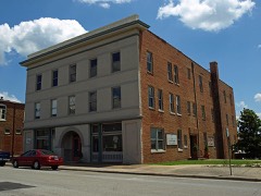 Cotaco Opera Houselisted 1986 · 0.9 miles away
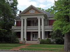 Albany Heritage Neighborhood Historic Districtlisted 1983 · 1.0 miles away
- Simpson's Florist (Additional Documentation)listed 2023 · 0.6 miles away
- New Decatur-Albany Residential Historic District (Boundary Increase)listed 2004 · 0.9 miles away
Topographic sheets covering this place
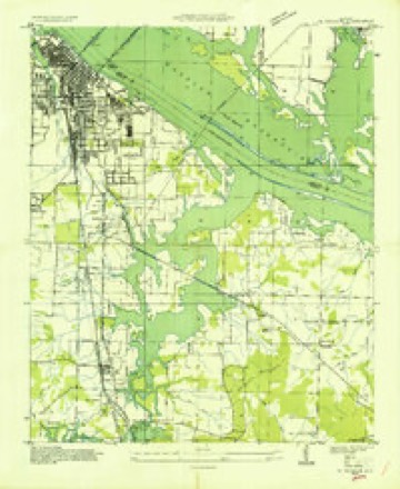
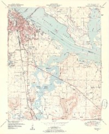
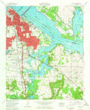
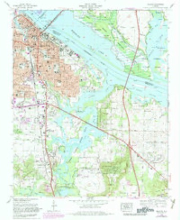
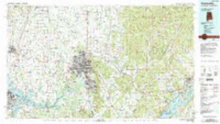
11 surveys from 25 printed sheetsMatched by testing this settlement's coordinate against the published boundary of every sheet in the United States Geological Survey's historical collection. Each opens the scanned sheet at the Survey.
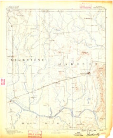
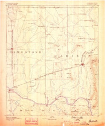
- 1888 USGS Huntsville quadrangle1:125000
- 1892 USGS Huntsville quadrangle1:125000, 6 printings
- 1936 USGS Decatur quadrangle1:24000
- 1950 USGS Decatur quadrangle1:24000, 3 printings
- 1956 USGS Gadsden quadrangle1:250000, 3 printings
- 1958 USGS Gadsden quadrangle1:250000
- 1960 USGS Gadsden quadrangle1:250000, 2 printings
- 1963 USGS Decatur quadrangle1:24000
- 1963 USGS Gadsden quadrangle1:250000
- 1975 USGS Decatur quadrangle1:24000, 3 printings
- 1984 USGS Huntsville quadrangle1:100000, 3 printings




Fires near this place
40 since 1995Regional context, not property-specific evidence. The federal wildfire occurrence database lists 40 fires within 5 miles of Oakworth between 1995 and 2019, burning about 338 acres in total. None started naturally. 7 were recorded as arson. Distance is straight-line from the map coordinates, so a fire counted here may appear on a neighbouring settlement's page as well.
| Reported cause | Fires |
|---|---|
| Missing data/not specified/undetermined | 13 |
| Debris and open burning | 8 |
| Arson/incendiarism | 7 |
| Equipment and vehicle use | 5 |
| Recreation and ceremony | 3 |
| Misuse of fire by a minor | 2 |
| Smoking | 1 |
| Railroad operations and maintenance | 1 |
The most recent of them, most recent first, with the day each was reported and the service that recorded it.
| Date | Cause | Size | Reported by | Name on the report |
|---|---|---|---|---|
| 7 September 2015 | Misuse of fire by a minor | under an acre | Alabama Forestry Commission | NOR-20150908-001 |
| 5 September 1995 | Recreation and ceremony | under an acre | Alabama Forestry Commission | not named |
| 4 September 2007 | Debris and open burning | 10 acres | Alabama Forestry Commission | not named |
| 15 September 1999 | Debris and open burning | 35 acres | Alabama Forestry Commission | not named |
| 14 September 1998 | Arson/incendiarism | under an acre | Alabama Forestry Commission | not named |
| 26 August 1998 | Equipment and vehicle use | 40 acres | Alabama Forestry Commission | not named |
| 17 August 2000 | Equipment and vehicle use | 40 acres | Alabama Forestry Commission | not named |
| 12 August 1999 | Debris and open burning | 1.1 acres | Wheeler National Wildlife Refuge | WWSSPOTNOD |
Settlements close enough to share some of these fires:
Mines and quarries near this place
1 within 5 milesRegional context, not property-specific evidence. The federal mineral resources record lists 1 working within 5 miles of Oakworth: 1 producer. All of them still produce. What was taken out: Stone, Crushed/Broken. Distance is straight-line from the map coordinates, so a quarry counted here may appear on a neighbouring settlement's page as well.
| Where | Site | Commodity | Status | Recorded |
|---|---|---|---|---|
| Plant 1 Pit | Stone, Crushed/Broken | Producer |
Storms near this place
31 since 2008Regional context, not property-specific evidence. The National Weather Service names Oakworth in 31 storm reports between 2008 and 2025: 16 thunderstorm wind, 7 flash flood, 4 flood, 3 hail. No death or injury is recorded in these reports. Each account below is quoted exactly as the forecast office filed it, from the NOAA Storm Events Database, and each date opens the federal record of that event.
| When | Event | Place named | Harm | What the report says |
|---|---|---|---|---|
| May 2009 | Tornado (EF0) | Oakworth | $50,000 | A tornado briefly touched down near the intersection of 7th Avenue and 5th Street in Decatur with peak winds of 80 mph. Trees were uprooted and snapped along the brief damage path. Several homes and vehicles were also damaged by the downed trees. The tornado lifted near the intersection of 16th Avenue and Sherman Street. |
| May 2011 | Thunderstorm Wind | Oakworth | $20,000 | Numerous trees were blown down in the Decatur area. Also, a storage garage was flipped over and incurred some minor roof damage. |
| August 2010 | Thunderstorm Wind | Oakworth | $16,000 | Decatur police department reported multiple power lines and trees down, causing some traffic signals to go out. A street sign was also blown over on US 31 north. |
| June 2011 | Thunderstorm Wind | Oakworth | $10,000 | Trees were knocked down onto power lines causing power outages. |
| June 2009 | Hail | Oakworth | $10,000 | Baseball size hail shattered westward facing windows just south of Russell Village. Large tree limbs were also blown down. |
| June 2011 | Thunderstorm Wind | Oakworth | $8,000 | Trees were blown down around the intersection of 5th street and 8th street. |
| July 2009 | Thunderstorm Wind | Oakworth | $5,000 | A tree, weakened by a lightning strike, was blown down onto a home. Eight windows were destroyed and other minor damage to the house. |
| December 2025 | Thunderstorm Wind | Oakworth | $1,000 | A tree was reported down on a powerline in the Buena Vista Circle community. |
| July 2023 | Thunderstorm Wind | Oakworth | $1,000 | Trees were knocked down on 6th Avenue at 8th Street in Decatur. |
| June 2013 | Thunderstorm Wind | Oakworth | $1,000 | Thunderstorm winds knocked trees down on Highway 67 near U.S. Highway 31. |
| May 2009 | Thunderstorm Wind | Oakworth | $1,000 | A tree was blown down over the road at the intersection of 11th Street and Somerville Road. |
| May 2009 | Thunderstorm Wind | Oakworth | $1,000 | A tree was blown down over the roadway at the intersection of 14th Street and 4th Avenue in Decatur. |
| June 2016 | Thunderstorm Wind | Oakworth | $500 | A tree was knocked down near the intersection of 11th Street and 11th Avenue in Decatur. |
| May 2021 | Thunderstorm Wind | Oakworth | $200 | A tree was knocked down near the corner of 7th Avenue Southeast and 5th Street Southeast. |
| August 2023 | Flood | Oakworth | - | Flooding on Country Club Road just past Fairway Drive. Depth of water unknown. |
| March 2022 | Flood | Oakworth | - | Intersection of Knight Street SE and 6th Avenue was flooded. A vehicle was stuck at this location due to high water. Depth of water estimated to be about 1 foot. |
| October 2020 | Flood | Oakworth | - | Approximately 6 inches of water over Veterans Drive behind Redstone Federal Credit Union near 6th Avenue in Decatur, AL. |
| January 2020 | Thunderstorm Wind | Oakworth | - | Trees and power poles were knocked down at Miller Street SW and Cockrell Avenue SW in Decatur. |
| February 2019 | Flood | Oakworth | - | Country Club Road SE between Brookmeade SE and Fairway SW are closed due to water of an unknown depth over the road. |
| April 2018 | Thunderstorm Wind | Oakworth | - | From 5th Street through 22nd Streets NW in Decatur. Numerous trees and power lines were knocked down. Structural and roof damage was reported. Windows were blown out at least one location. |
| July 2017 | Flash Flood | Oakworth | - | Up to a foot of water reported over portions of Knight Street. |
| August 2014 | Flash Flood | Oakworth | - | Flash flooding occurred along many streets and businesses in south central Decatur and streets and a few residences in southeast Decatur. These include Albert Street, the intersection of 2nd Avenue and Beard Street, and the intersection of 1st Street SW and Newman Avenue SW. Up to a foot of water was reported. Flash flooding reached the front doorways of residences near Oak Park Middle School. |
| August 2014 | Thunderstorm Wind | Oakworth | - | A canopy at a gas station on Sandlin Drive was toppled over by thunderstorm winds. Time estimated by radar. |
| July 2013 | Flash Flood | Oakworth | - | Country Club Road and Stratford Road was closed, near 6th Avenue SE/Highway 31, due to heavy rain and high water (unknown depth). |
| April 2013 | Thunderstorm Wind | Oakworth | - | A maintenance building was destroyed in Wilson Morgan Park. The roof was blown off of a garage building at the park. A controller for the park irrigation system was damaged. Several pine trees was uprooted. Time was estimated by radar. |
| March 2011 | Flash Flood | Oakworth | - | Flash flooding prompted the closure of Country Club Road from Stratford Road to Highway 67. |
| May 2010 | Flash Flood | Oakworth | - | The intersection of Country Club road and Apache Lane were reported impassable. |
| April 2009 | Hail | Oakworth | - | Quarter inch hail was reported along 5th Avenue. |
| June 2009 | Hail | Oakworth | - | Golfball size hail was reported at the Target on Highway 67 in Decatur. |
| May 2009 | Flash Flood | Oakworth | - | Heavy rainfall caused 1 to 2 feet of water to accumulate on County Club Road in southeast Decatur. |
| June 2008 | Flash Flood | Oakworth | - | Training strong thunderstorms produced excessive rainfall over the city of Decatur. Many roads in Decatur were affected. Runoff up to 8 inches deep was reported near the intersection of Veterans Drive and 14th Street in Decatur. Also, flash flood waters climbed to a depth of two feet along 4th Avenue between 10th and 11th street, and water up to one foot entered the Rescue Squad Building on Old Highway 31 in Flint City. |
Nearest settlements
The eight closest, with where each one stands in the county. Distances are straight-line, computed from the Geographic Names Information System coordinates.
| Map | Place | Distance | Sheets |
|---|---|---|---|
| Simpson | 0.7 miles | 15 | |
| West Decatur | 1.0 miles | 25 | |
| Fairview | 1.1 miles | 25 | |
| Decatur | 1.1 miles | 25 | |
| Albany | 1.4 miles | 25 | |
| Moulton Heights | 1.4 miles | 15 | |
| Austinville | 1.5 miles | 15 | |
| Griffin Addition | 1.7 miles | 15 |
Elsewhere
Matched on this settlement's Geographic Names Information System number rather than its name, so it cannot be a different place of the same name in another state.
| Wikidata item Q122540664 | The structured record the population and elevation above come from. Public domain (CC0). |
Provenance
This settlement is recorded in the Geographic Names Information System as feature 124171. The sheet list is computed by point-in-boundary test against the United States Geological Survey's historical topographic inventory. Both are works of the United States government and carry no copyright under 17 U.S.C. 105.
Wildfire. Short, Karen C. 2022. Spatial wildfire occurrence data for the United States, 1992-2020 [FPA_FOD_20221014]. 6th Edition. Fort Collins, CO: Forest Service Research Data Archive. https://doi.org/10.2737/RDS-2013-0009.6 Collected with United States Government funding and usable without additional permissions or fees.
Mines and quarries. USGS Mineral Resources Data System (MRDS) https://mrdata.usgs.gov/mrds/ A work of the United States government, no copyright under 17 U.S.C. 105.
Storms. NOAA National Centers for Environmental Information, Storm Events Database https://www.ncei.noaa.gov/stormevents/ A work of the United States government, no copyright under 17 U.S.C. 105. Narratives are quoted verbatim from the National Weather Service report and are not edited or summarised.