 Block
Decatur, Alabama
25 topographic sheets cover this place, the earliest surveyed in 1888 and the latest in 1984. It stands in the Decatur census division. It lies in ZIP code area 35601. It stands on Dry Branch. The Survey maps it on the Decatur quadrangle. 57,938 people lived here at the 2020 count. It stands 561 feet above sea level.
Research this city
On record in Decatur
Buildings and businesses the archive holds for this place. Each opens its own page, with the source record it came from.
On the National Register 12 of 14 shown
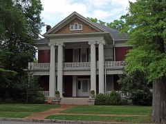 Albany Heritage Neighborhood Historic Districtlisted 1983
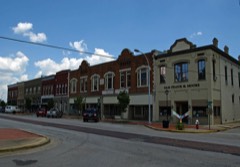 Bank Street Historic Districtlisted 1980
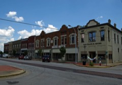 Bank Street-Old Decatur Historic District (Boundary Increase)listed 1985
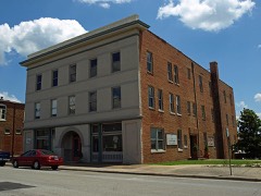 Cotaco Opera Houselisted 1986
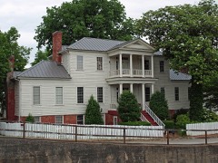 Col. Francis Dancy Houselisted 1980
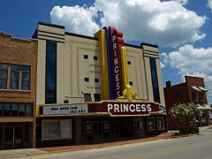 New Decatur-Albany Historic District (Boundary Increase)listed 1999
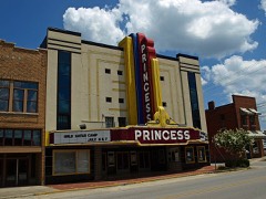 Princess Theaterlisted 1995
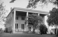 Rhea-McEntire Houselisted 1984
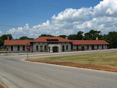 Southern Railway Depotlisted 1980
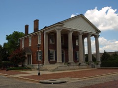 State Bank Building, Decatur Branchlisted 1972
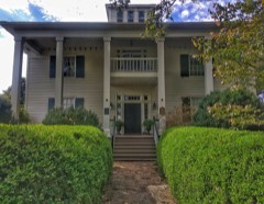 Westviewlisted 1982
- New Decatur-Albany Residential Historic District (Boundary Increase)listed 2004
Every listing in Morgan County
Surveyed buildings and structures 3 records
- Keller Memorial Bridge, Spanning Tennessee River at U.S. Highway 31, Decaturfederal building survey, 8 photographs
- Rhea-Burleson-McEntire House, 120 Sycamore Street, Decaturfederal building survey, 12 photographs
- State Bank of Alabama, Decatur Branch, Bank Street & Wilson Avenue, Decaturfederal building survey, 9 photographs
Population over time
2 figuresDecatur grew from 55,683 to 57,938 between 2010 and 2020. These are the recorded population figures Wikidata holds for this place, reached through the Geographic Names Information System number this page is keyed on rather than by name, so they belong to this place and not to another of the same name. Most are census counts, but not all are: an early figure may be a founding or settlement estimate, and an estimate published within five years of a census is left out. The change column is computed, and is left blank where more than 20 years separate a figure from the one before it, because a gap that long is not a change between two counts.
| Year | People | Change |
|---|---|---|
| 2010 | 55,683 | |
| 2020 | 57,938 | +2,255 (+4%) |
Topographic sheets covering this place
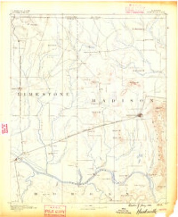
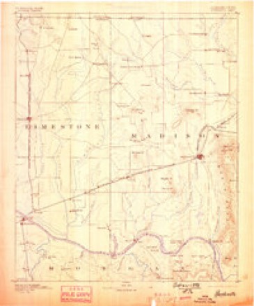
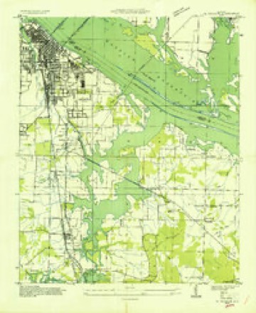
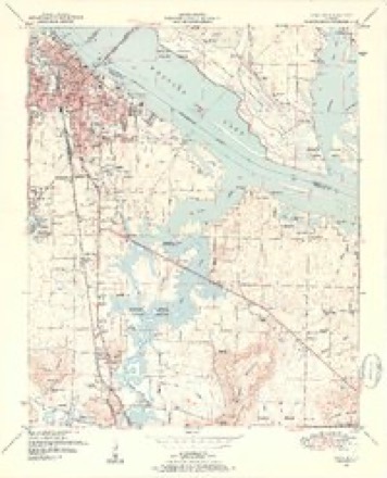
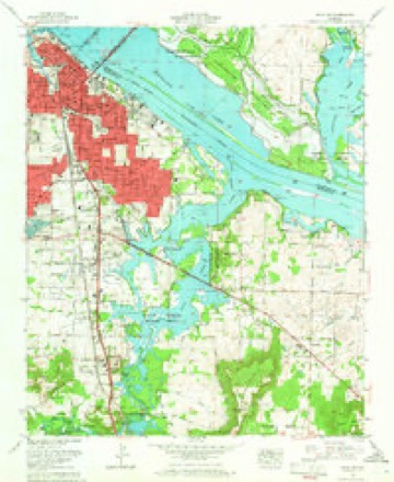
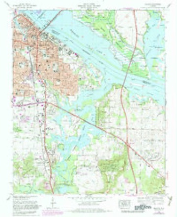
11 surveys from 25 printed sheetsMatched by testing this settlement's coordinate against the published boundary of every sheet in the United States Geological Survey's historical collection. Each opens the scanned sheet at the Survey.
- 1888 USGS Huntsville quadrangle1:125000
- 1892 USGS Huntsville quadrangle1:125000, 6 printings
- 1936 USGS Decatur quadrangle1:24000
- 1950 USGS Decatur quadrangle1:24000, 3 printings
- 1956 USGS Gadsden quadrangle1:250000, 3 printings
- 1958 USGS Gadsden quadrangle1:250000
- 1960 USGS Gadsden quadrangle1:250000, 2 printings
- 1963 USGS Decatur quadrangle1:24000
- 1963 USGS Gadsden quadrangle1:250000
- 1975 USGS Decatur quadrangle1:24000, 3 printings
- 1984 USGS Huntsville quadrangle1:100000, 3 printings




Photographs
8 of 36 photographs shown, 1939 to 1942Taken for the Office of War Information and the Farm Security Administration, who photographed the country between 1935 and 1944. Works of United States government photographers, with no known restriction on use. Each opens its catalogue record.
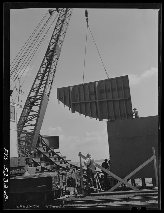
Delano, Jack, 1942. Library of Congress
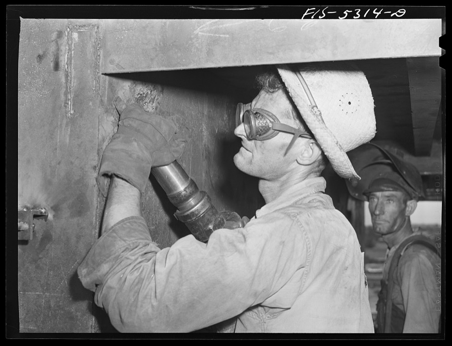
Delano, Jack, 1942. Library of Congress

Delano, Jack, 1942. Library of Congress

Delano, Jack, 1942. Library of Congress
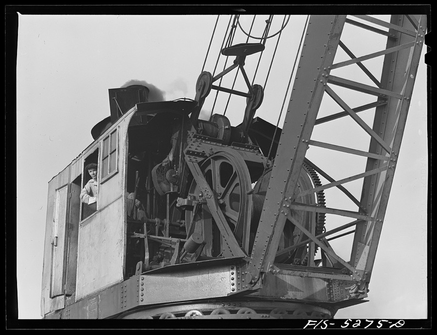
Delano, Jack, 1942. Library of Congress
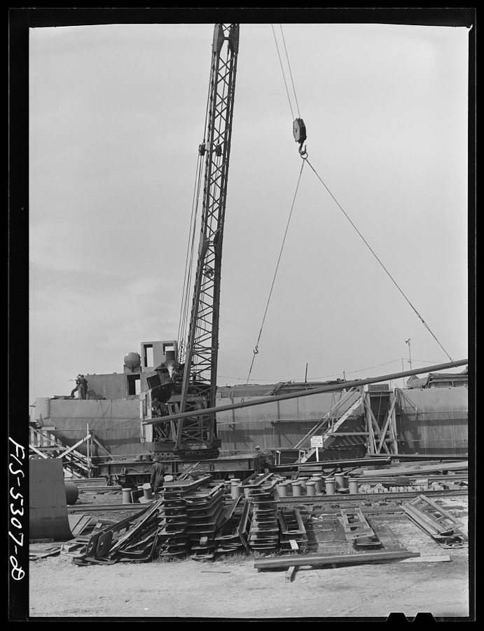
Delano, Jack, 1942. Library of Congress
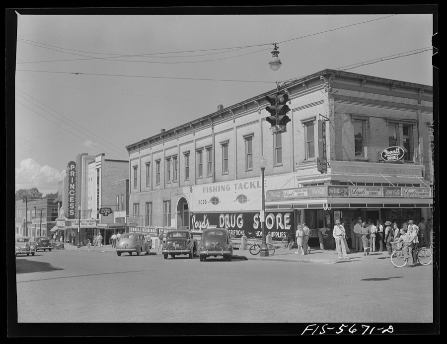
Delano, Jack, 1942. Library of Congress

Johnston, Frances Benjamin, 1939. Library of Congress
Every photograph of Morgan County
Fires near this place
34 since 1996Regional context, not property-specific evidence. The federal wildfire occurrence database lists 34 fires within 5 miles of Decatur between 1996 and 2016, burning about 211 acres in total. 1 started naturally. 6 were recorded as arson. Distance is straight-line from the map coordinates, so a fire counted here may appear on a neighbouring settlement's page as well.
| Reported cause | Fires |
|---|---|
| Missing data/not specified/undetermined | 12 |
| Arson/incendiarism | 6 |
| Debris and open burning | 5 |
| Equipment and vehicle use | 4 |
| Misuse of fire by a minor | 2 |
| Recreation and ceremony | 2 |
| Smoking | 1 |
| Natural | 1 |
| Railroad operations and maintenance | 1 |
The most recent of them, most recent first, with the day each was reported and the service that recorded it.
| Date | Cause | Size | Reported by | Name on the report |
|---|---|---|---|---|
| 7 September 2015 | Misuse of fire by a minor | under an acre | Alabama Forestry Commission | NOR-20150908-001 |
| 15 September 1999 | Debris and open burning | 35 acres | Alabama Forestry Commission | not named |
| 14 September 1998 | Arson/incendiarism | under an acre | Alabama Forestry Commission | not named |
| 12 August 1999 | Debris and open burning | 1.1 acres | Wheeler National Wildlife Refuge | WWSSPOTNOD |
| 8 July 2008 | Smoking | under an acre | Wheeler National Wildlife Refuge | CUTOFF ROAD 08 |
| 3 July 2012 | Missing data/not specified/undetermined | under an acre | Alabama Forestry Commission | NOR-20120703-005 |
| 23 June 2016 | Equipment and vehicle use | under an acre | Wheeler National Wildlife Refuge | ALWLR-FY16-WF-I65 BRIDGE FIRE |
| 19 June 2009 | Missing data/not specified/undetermined | 1.5 acres | Wheeler National Wildlife Refuge | TRIANGLE FIRE |
Settlements close enough to share some of these fires:
Mines and quarries near this place
1 within 5 milesRegional context, not property-specific evidence. The federal mineral resources record lists 1 working within 5 miles of Decatur: 1 producer. All of them still produce. What was taken out: Stone, Crushed/Broken. Distance is straight-line from the map coordinates, so a quarry counted here may appear on a neighbouring settlement's page as well.
| Where | Site | Commodity | Status | Recorded |
|---|---|---|---|---|
| Plant 1 Pit | Stone, Crushed/Broken | Producer |
Storms near this place
60 of 128 shownRegional context, not property-specific evidence. The National Weather Service names Decatur in 128 storm reports between 1995 and 2025: 71 thunderstorm wind, 23 hail, 22 flash flood, 8 lightning. The reports record 2 injuries. Each account below is quoted exactly as the forecast office filed it, from the NOAA Storm Events Database, and each date opens the federal record of that event.
| When | Event | Place named | Harm | What the report says |
|---|---|---|---|---|
| July 1999 | Lightning | Decatur | 1 hurt, $10,000 | Lightning struck a metal awning at a large home supply store and traveled down a metal pole into the parking lot shocking a man who was loading lumber under the awning. The man was temporarily blinded by the lightning strike but was able to transport himself to a nearby hospital. Doctors kept him overnight but he displayed no serious injuries other than a small exit wound on his left ear. The telephone system in the store was damaged by the lightning strike. |
| March 1996 | Lightning | Decatur | 1 hurt, $2,000 | no account filed |
| July 1996 | Thunderstorm Wind | Decatur | $30,000 | no account filed |
| April 1996 | Thunderstorm Wind | Decatur | $28,000 | no account filed |
| June 2011 | Thunderstorm Wind | Decatur | $25,000 | Trees and power lines were reported down on the 1700 block of Beltline road. A roof was also taken off of an Asian Grill restaurant by the winds. |
| August 2012 | Flash Flood | Decatur | $20,000 | Rainfall of 2 to 3 inches in less than one hour, much of it occurring in less than one half hour, fell across downtown Decatur and nearby areas causing flash flooding. Several roads were closed or were impassible. A mother and child were stranded in their vehicle in flood water at the intersection of Eighth Street and Church Street Northeast. Flood water was up to the base of car windows on Lee Street at the Courthouse. The City Hall basement had flooding as well. |
| April 2006 | Hail | Decatur | $20,000 | Hail two inches in diameter produced damage to several vehicles and minor roof damage to three homes. |
| June 2002 | Lightning | Decatur | $20,000 | Two adjacent homes were struck by lightning in Decatur. Fires were ignited in both homes and each sustained damage. |
| April 1998 | Thunderstorm Wind | Decatur | $20,000 | no account filed |
| July 1997 | Flash Flood | Decatur | $18,000 | Heavy rains, about an inch in 15 minutes, snarled traffic and flooded many downtown roads in Decatur. Numerous cars were flooded out and water reportedly got into the city hall and courthouse buildings but not significant damage occurred. |
| May 2024 | Thunderstorm Wind | Decatur | $15,000 | Several trees and powerlines were reported down in Decatur. |
| June 2014 | Thunderstorm Wind | Decatur | $15,000 | Several trees and power lines were downed by thunderstorm winds. |
| September 2002 | Lightning | Decatur | $15,000 | Lightning struck two homes in the Decatur area. Both homes caught on fire and sustained varying degrees of damage. No injuries were reported. |
| January 1997 | Thunderstorm Wind | Decatur | $15,000 | no account filed |
| April 2011 | Thunderstorm Wind | Decatur | $10,000 | The roof of Emmanuel church was lifted and torn off and blown into the adjacent parking lot. |
| April 1998 | Thunderstorm Wind | Decatur | $10,000 | Trees and power lines were reported down southwest of Decatur. |
| May 1996 | Thunderstorm Wind | Decatur | $10,000 | no account filed |
| April 1996 | Thunderstorm Wind | Decatur | $10,000 | no account filed |
| July 1997 | Lightning | Decatur | $8,000 | A nearly direct lightning strike to an electrical substation blew out power to about 15 percent of Decatur for almost an hour. |
| April 2009 | Thunderstorm Wind | Decatur | $6,000 | A tree was uprooted and fell on a house at 606 Ferry Street. |
| May 1997 | Thunderstorm Wind | Decatur | $6,000 | Several trees were uprooted in Decatur and Hartselle. There were also some power outages due to trees falling on the lines. |
| April 2025 | Thunderstorm Wind | Decatur | $5,000 | A tree fell on a house along 5th Avenue. |
| April 2014 | Thunderstorm Wind | Decatur | $5,000 | A tree was downed onto a powerline by thunderstorm winds on Chapel Hill Road, near Decatur, Alabama. |
| October 2014 | Thunderstorm Wind | Decatur | $5,000 | Power lines were downed due to thunderstorm winds. |
| September 2012 | Thunderstorm Wind | Decatur | $5,000 | A tree was downed by thunderstorm winds just north of Decatur. |
| January 1997 | Hail | Decatur | $5,000 | no account filed |
| November 1996 | Thunderstorm Wind | Decatur | $5,000 | no account filed |
| April 2009 | Thunderstorm Wind | Decatur | $4,000 | A tree was blown down on Johnston Street SE onto a house. |
| June 2001 | Thunderstorm Wind | Decatur | $4,000 | Several trees were blown down in and around the city of Decatur. |
| February 1997 | Thunderstorm Wind | Decatur | $4,000 | no account filed |
| February 1997 | Lightning | Decatur | $4,000 | no account filed |
| October 2001 | Thunderstorm Wind | Decatur | $3,000 | Numerous trees were blown down just southwest of the city of Decatur. |
| July 2000 | Thunderstorm Wind | Decatur | $3,000 | Trees and power lines were knocked down across the city of Decatur. |
| April 1999 | Thunderstorm Wind | Decatur | $3,000 | The Emergency Management Agency reported at least one telephone pole holding a warning siren was snapped off during a thunderstorm. Time is estimated. |
| June 2017 | Thunderstorm Wind | Decatur | $2,000 | Multiple trees were knocked down in Decatur. |
| June 2014 | Lightning | Decatur | $2,000 | Lightning struck and damaged a barn. |
| May 2002 | Thunderstorm Wind | Decatur | $2,000 | A few trees were blown down in Decatur. |
| September 2000 | Thunderstorm Wind | Decatur | $2,000 | A few trees were blown down in and around the city of Decatur. |
| April 1998 | Hail | Decatur | $2,000 | no account filed |
| October 1997 | Hail | Decatur | $2,000 | no account filed |
| August 2024 | Thunderstorm Wind | Decatur | $1,000 | A tree was reported down in the roadway on Jackson Street at this location. Time was estimated from radar. |
| May 2022 | Thunderstorm Wind | Decatur | $1,000 | A tree was reported down near the intersection of 3rd Avenue and 4th Street. |
| June 2013 | Thunderstorm Wind | Decatur | $1,000 | Thunderstorm winds knocked trees down at Vine Street and Ferry Street. |
| July 2008 | Thunderstorm Wind | Decatur | $1,000 | A few trees and power lines were downed by thunderstorm winds. |
| April 2006 | Tornado (F0) | Decatur | $1,000 | A tornado briefly touched down just east of Decatur along highway 20 and produced some light tree damage and heavily damaged a large billboard sign near Interstate 65 before dissipating. |
| October 1997 | Thunderstorm Wind | Decatur | $1,000 | no account filed |
| May 2024 | Thunderstorm Wind | Decatur | $500 | A tree was reported down on a house on Oak Street in NE Decatur. |
| August 2023 | Thunderstorm Wind | Decatur | $500 | A tree was knocked down blocking the road on Finley Drive NW at the railroad track. Time estimated by radar. |
| July 2020 | Thunderstorm Wind | Decatur | $500 | A thunderstorm produced isolated wind damage between Grove Street and Madison Street Northwest. Two portions of a very large tree were blown down, knocking down adjacent power lines. This same thunderstorm produced a waterspout on nearby Lake Wheeler. Time estimated by radar. |
| March 2006 | Thunderstorm Wind | Decatur | $500 | Trees were blown down along Highway 36 between Highway 67 and Interstate 65. A billboard sign was blown onto a mobile home on Sixth Avenue. |
| May 2021 | Thunderstorm Wind | Decatur | $200 | A tree was knocked down at Banks-Caddell Elementary School. Time estimated by radar. |
| August 2023 | Flood | Decatur | - | Lee Street blocked due to flooding. Depth of water unknown. |
| July 2021 | Flash Flood | Decatur | - | Flooding reported at the intersection of Church and 6th Avenue in Decatur. |
| September 2021 | Flash Flood | Decatur | - | Lee Street in front of the Courthouse is under water. Parts of Church Street also underwater, affecting businesses. Fire and Police Dept assisting motorists in the area. Depth of water unknown. |
| February 2019 | Flood | Decatur | - | Church Street and east of 6th Avenue flooded in Decatur. Several other streets locally flooding, but water depth unknown at this time. |
| August 2019 | Thunderstorm Wind | Decatur | - | A large 100 year old oak tree was uprooted onto a 1903 home at 722 Ferry Street in Decatur. |
| August 2019 | Thunderstorm Wind | Decatur | - | There are multiple reports of trees and power lines down throughout the city limits of Decatur. Numerous power outages reported by broadcast media. |
| April 2018 | Thunderstorm Wind | Decatur | - | Roof damage was reported to a building on 2nd Avenue SE. |
| April 2018 | Thunderstorm Wind | Decatur | - | Numerous trees were knocked down on 4th Avenue NW. |
| April 2018 | Thunderstorm Wind | Decatur | - | Several trees were knocked down. One tree was knocked down onto a house on 8th Avenue SE. |
Nearest settlements
The eight closest, with where each one stands in the county. Distances are straight-line, computed from the Geographic Names Information System coordinates.
| Map | Place | Distance | Sheets |
|---|---|---|---|
| West Decatur | 0.7 miles | 25 | |
| Oakworth | 1.1 miles | 25 | |
| Albany | 1.1 miles | 25 | |
| Moulton Heights | 1.8 miles | 15 | |
| Fairview | 1.8 miles | 25 | |
| Simpson | 1.8 miles | 15 | |
| Griffin Addition | 2.4 miles | 15 | |
| Austinville | 2.5 miles | 15 |
Elsewhere
Matched on this settlement's Geographic Names Information System number rather than its name, so it cannot be a different place of the same name in another state.
| Wikipedia article on Decatur | An encyclopaedic summary. Its text is share-alike, so it is linked here rather than copied. |
| Wikidata item Q79750 | The structured record the population and elevation above come from. Public domain (CC0). |
Provenance
This settlement is recorded in the Geographic Names Information System as feature 117185. The sheet list is computed by point-in-boundary test against the United States Geological Survey's historical topographic inventory. Both are works of the United States government and carry no copyright under 17 U.S.C. 105.
Wildfire. Short, Karen C. 2022. Spatial wildfire occurrence data for the United States, 1992-2020 [FPA_FOD_20221014]. 6th Edition. Fort Collins, CO: Forest Service Research Data Archive. https://doi.org/10.2737/RDS-2013-0009.6 Collected with United States Government funding and usable without additional permissions or fees.
Mines and quarries. USGS Mineral Resources Data System (MRDS) https://mrdata.usgs.gov/mrds/ A work of the United States government, no copyright under 17 U.S.C. 105.
Storms. NOAA National Centers for Environmental Information, Storm Events Database https://www.ncei.noaa.gov/stormevents/ A work of the United States government, no copyright under 17 U.S.C. 105. Narratives are quoted verbatim from the National Weather Service report and are not edited or summarised.