 Block
Tuscaloosa, Alabama
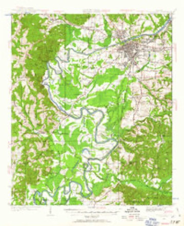
17 topographic sheets cover this place, the earliest surveyed in 1924 and the latest in 1984. It stands in the Tuscaloosa census division. It lies in ZIP code area 35401. It lies near River Hill. The Survey maps it on the Tuscaloosa quadrangle. 99,600 people lived here at the 2020 count. It stands 223 feet above sea level.
Research this city
On record in Tuscaloosa
Buildings and businesses the archive holds for this place. Each opens its own page, with the source record it came from.
On the National Register 12 of 35 shown
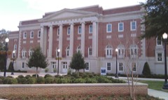 Foster Auditorium, The University of AlabamaNational Historic Landmark · listed 2005
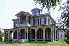 1305 Greensboro Av.listed 1972
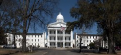 Alabama Insane Hospitallisted 1977
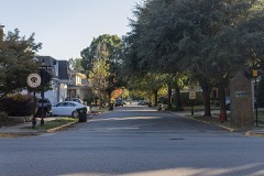 Audubon Place Historic Districtlisted 1985
 Bama Theatre-City Hall Buildinglisted 1984
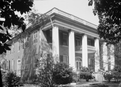 Battle-Friedman Houselisted 1972
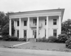 Carson Placelisted 1985
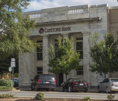 City National Banklisted 1985
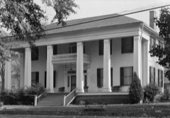 Collier-Overby Houselisted 1971
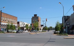 Downtown Tuscaloosa Historic Districtlisted 1986
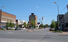 Downtown Tuscaloosa Historic District (Boundary Increase II)listed 1997
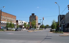 Downtown Tuscaloosa Historic District (Boundary Increase)listed 1989
Every listing in Tuscaloosa County
Surveyed buildings and structures 12 of 31 shown
- Alfred Battle Home, Greensboro Avenue, Tuscaloosafederal building survey, 13 photographs
- Alston Building, 2400 Sixth Street, Tuscaloosafederal building survey, 1 photograph
- Christ Episcopal Church, 605 25th Avenue, Tuscaloosafederal building survey, 10 photographs
- Collier-Whitt-Boone House, 905 Twenty-first Avenue, Tuscaloosafederal building survey, 12 photographs
- Dearing House, 2111 Fourteenth Street, Tuscaloosafederal building survey, 9 photographs
- Dearing-Bagby House, 421 Queen City Avenue, Tuscaloosafederal building survey, 12 photographs
- Dr. John R. Drish House, 2300 17th Street, Tuscaloosafederal building survey, 8 photographs
- Duffies Tavern, 2800 Twenty-eighth Avenue, Tuscaloosafederal building survey, 11 photographs
- E. N. C. Snow House, 2414 Eighth Street, Tuscaloosafederal building survey, 13 photographs
- Eddins House, 919 Greensboro Avenue, Tuscaloosafederal building survey, 9 photographs
- Foster-Shirley House, 1600 Dearing Place, Tuscaloosafederal building survey, 9 photographs
- Gluck House, 2021 Seventh Street, Tuscaloosafederal building survey, 9 photographs
Population over time
3 figuresTuscaloosa grew from 1,949 to 99,600 between 1840 and 2020. These are the recorded population figures Wikidata holds for this place, reached through the Geographic Names Information System number this page is keyed on rather than by name, so they belong to this place and not to another of the same name. Most are census counts, but not all are: an early figure may be a founding or settlement estimate, and an estimate published within five years of a census is left out. The change column is computed, and is left blank where more than 20 years separate a figure from the one before it, because a gap that long is not a change between two counts.
| Year | People | Change |
|---|---|---|
| 1840 | 1,949 | |
| 2010 | 90,468 | |
| 2020 | 99,600 | +9,132 (+10%) |
Topographic sheets covering this place
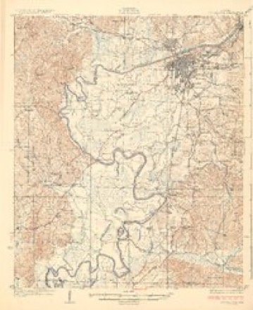
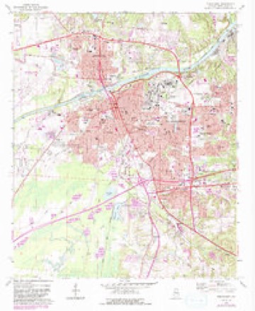
7 surveys from 17 printed sheetsMatched by testing this settlement's coordinate against the published boundary of every sheet in the United States Geological Survey's historical collection. Each opens the scanned sheet at the Survey.
- 1924 USGS Tuscaloosa quadrangle1:62500
- 1926 USGS Tuscaloosa quadrangle1:62500, 3 printings
- 1953 USGS Birmingham quadrangle1:250000, 4 printings
- 1956 USGS Birmingham quadrangle1:250000
- 1957 USGS Birmingham quadrangle1:250000
- 1971 USGS Tuscaloosa quadrangle1:24000, 5 printings
- 1984 USGS Tuscaloosa quadrangle1:100000, 2 printings
Photographs
8 of 52 photographs shown, 1939 to 2010Taken for the Office of War Information and the Farm Security Administration, who photographed the country between 1935 and 1944. Works of United States government photographers, with no known restriction on use. Each opens its catalogue record.

Highsmith, Carol M, 2010. Library of Congress
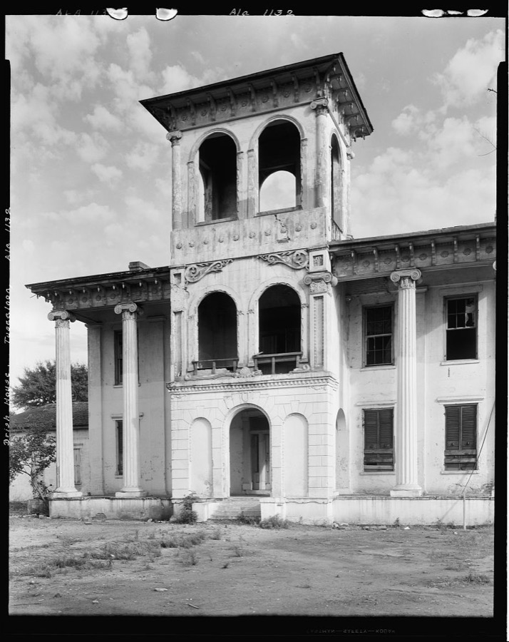
Johnston, Frances Benjamin, 1939. Library of Congress
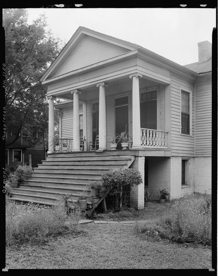
Johnston, Frances Benjamin, 1939. Library of Congress
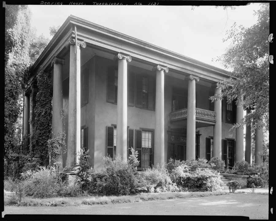
Johnston, Frances Benjamin, 1939. Library of Congress
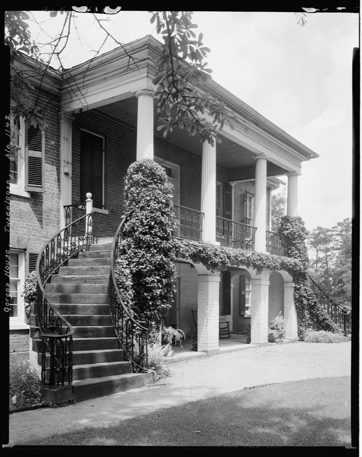
Johnston, Frances Benjamin, 1939. Library of Congress
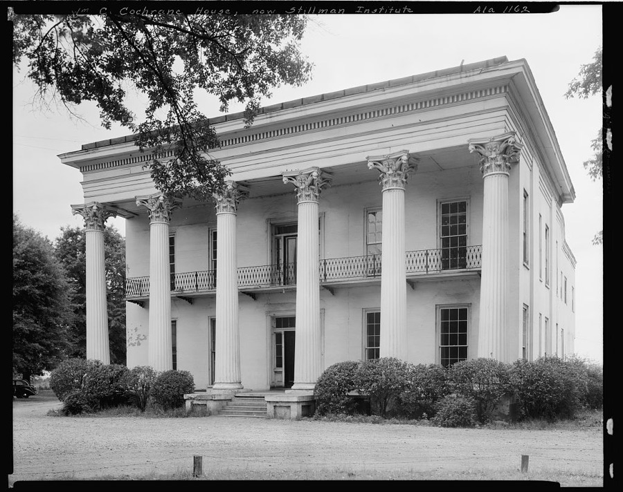
Johnston, Frances Benjamin, 1939. Library of Congress
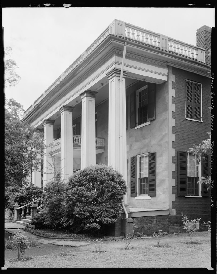
Johnston, Frances Benjamin, 1939. Library of Congress
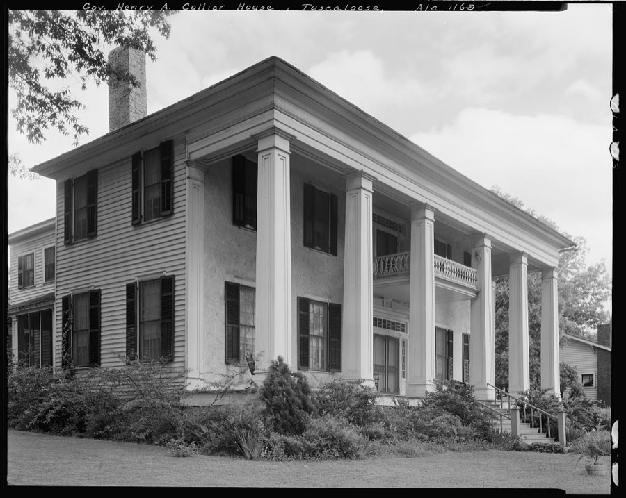
Johnston, Frances Benjamin, 1939. Library of Congress
Every photograph of Tuscaloosa County
Fires near this place
54 since 1994Regional context, not property-specific evidence. The federal wildfire occurrence database lists 54 fires within 5 miles of Tuscaloosa between 1994 and 2020, burning about 437 acres in total. 1 started naturally. 13 were recorded as arson. Distance is straight-line from the map coordinates, so a fire counted here may appear on a neighbouring settlement's page as well.
| Reported cause | Fires |
|---|---|
| Debris and open burning | 16 |
| Arson/incendiarism | 13 |
| Missing data/not specified/undetermined | 7 |
| Railroad operations and maintenance | 7 |
| Misuse of fire by a minor | 5 |
| Recreation and ceremony | 2 |
| Equipment and vehicle use | 1 |
| Other causes | 1 |
| Natural | 1 |
| Smoking | 1 |
The most recent of them, most recent first, with the day each was reported and the service that recorded it.
| Date | Cause | Size | Reported by | Name on the report |
|---|---|---|---|---|
| 20 September 2020 | Debris and open burning | 2.5 acres | Alabama Forestry Commission | 20200920-2 |
| 18 September 2007 | Arson/incendiarism | 5.0 acres | Alabama Forestry Commission | not named |
| 16 September 2010 | Smoking | 2.0 acres | Alabama Forestry Commission | not named |
| 31 August 2011 | Debris and open burning | under an acre | Alabama Forestry Commission | 4921 CUVER RD, AL |
| 30 August 2011 | Arson/incendiarism | 8.0 acres | Alabama Forestry Commission | 42 CR 82, AL |
| 3 August 2011 | Arson/incendiarism | 120 acres | Alabama Forestry Commission | CR 29, AL |
| 26 August 2011 | Misuse of fire by a minor | 8.0 acres | Alabama Forestry Commission | 7600 CHARLIE SHIRLEY ROAD, AL |
| 22 August 2006 | Natural | 30 acres | Alabama Forestry Commission | not named |
Settlements close enough to share some of these fires:
Mines and quarries near this place
9 within 5 milesRegional context, not property-specific evidence. The federal mineral resources record lists 9 workings within 5 miles of Tuscaloosa: 7 producers, 2 past producers. 7 still produce. What was taken out: Sand and Gravel, Construction, Titanium, Metal, Zirconium, Kyanite, REE. Distance is straight-line from the map coordinates, so a quarry counted here may appear on a neighbouring settlement's page as well.
| Where | Site | Commodity | Status | Recorded |
|---|---|---|---|---|
| Airport Pit | Sand and Gravel, Construction, Titanium, Metal, Zirconium, Kyanite, REE | Producer | Placer | |
| American Mine | Sand and Gravel, Construction | Past Producer | ||
| Collins Pit | Sand and Gravel, Construction | Producer | ||
| Holley Pit | Sand and Gravel, Construction | Producer | Unconsolidated Sediments | |
| Holley Pit | Sand and Gravel, Construction | Producer | ||
| No. 2 Pit | Sand and Gravel, Construction | Past Producer | ||
| Plant No. 2 | Sand and Gravel, Construction | Producer | ||
| Plant Operation | Sand and Gravel, Construction | Producer | ||
| W.T. Ratliff Co., Inc. Pit | Sand and Gravel, Construction | Producer |
Storms near this place
60 of 119 shownRegional context, not property-specific evidence. The National Weather Service names Tuscaloosa in 119 storm reports between 1994 and 2023: 49 hail, 39 thunderstorm wind, 15 lightning, 8 flash flood. The reports record 2 deaths and 17 injuries. Each account below is quoted exactly as the forecast office filed it, from the NOAA Storm Events Database, and each date opens the federal record of that event.
| When | Event | Place named | Harm | What the report says |
|---|---|---|---|---|
| January 1997 | Tornado (F2) | Tuscaloosa | 1 killed, 10 hurt, $5,000,000 | no account filed |
| March 2000 | Thunderstorm Wind | Tuscaloosa | 1 killed, $900,000 | A large bow echo, accompanied by downburst wind of 70 to 100 miles per hour moved along Interstate 20/59 through the city of Tuscaloosa and ended near the city of Cottondale. The storm damage path was about 10 miles long and 4 miles wide. The most concentrated damage ran parallel to both Interstate 20 and US 11 in the city of Tuscaloosa. A 52 year old woman was killed when an advertising sign board was blown down onto her as she was approaching a hotel lobby. Numerous sign boards and trees were either blown down or snapped off. Numerous homes received varying degrees of damage, and area businesses also sustained major damage. One motor home was overturned on Interstate 20/59. Several automobiles were damaged or destroyed by falling trees. The Mimosa Park Country Club reported damage to several structures. Dime to golfball size hail was also reported with these storms. Thousands of customers were left without power for many hours. |
| November 2003 | Tornado (F1) | Tuscaloosa | 2 hurt, $100,000 | A weak tornado began at approximately 11:47 am CST just northeast of the intersection of Interstate 359 and 20/59. For the first 1.7 miles, damage was very weak and sporadic with mainly a few trees topped or uprooted. As the weak tornado approached University Mall and the intersection of 15th Street and McFarland Boulevard, the intensity increased slightly with more significant damage in the form of shingles removed, more trees downed, and large signs downed. A number of commercial structures sustained some damage, and one commercial structure had a portion of a north-facing wall collapse while shingles were removed from the roof. The increased intensity continued for about 2.3 miles covering the area southwest and northeast of the 15th Street/McFarland Bouldevard intersection. The damage seemed to once again decrease for the last 2.3 miles of the tornado track. Only two very minor injuries were reported with the storm.Beg: 33 10.276/87 32.977 End: 33 14.534/87 28.843 |
| April 1996 | Thunderstorm Wind | Tuscaloosa | 1 hurt, $200,000 | no account filed |
| April 2002 | Thunderstorm Wind | Tuscaloosa | 1 hurt, $5,000 | Several trees and power lines were blown down across the city of Tuscaloosa and also near Lake Tuscaloosa. One person suffered minor injuries when hit by a falling tree. |
| August 2006 | Lightning | Tuscaloosa | 1 hurt | A 23 year old male was struck by lightning, and was transported to the hospital for observation. The injuries were non-life threatening. |
| June 2004 | Lightning | Tuscaloosa | 1 hurt | A Tuscaloosa police officer was struck by lightning while attending to a car accident. The officer was at the intersection of I-20 and McFarland Blvd. The officer suffered minor injuries that did not appear life threatening. |
| July 2002 | Lightning | Tuscaloosa | 1 hurt | One person was struck by lightning in Tuscaloosa and had sustained minor injuries. |
| May 1998 | Thunderstorm Wind | Tuscaloosa | $75,000 | Thunderstorm wind did minor damage to 17 homes and a business, just south of the Tuscaloosa city limits. Several trees were snapped and uprooted in a path that extended for about 11 miles. The area of the damage was from I-20 about 4 miles west of Exit 71 through the Taylorville area and along US 82 to about 2 miles south of Exit 77. |
| April 2004 | Lightning | Tuscaloosa | $70,000 | Numerous lightning strikes caused structure fires across the city. At one moment, all the city emergency vehicles were out responding to calls and volunteers were activated. Many trees were also damaged due to lightning strikes. No injuries were reported. |
| July 1996 | Flash Flood | Tuscaloosa | $65,000 | no account filed |
| July 2005 | Lightning | Tuscaloosa | $60,000 | Lightning struck a home on Culver Road in Tuscaloosa. The lightning caused a natural gas fire. The home and the adjacent utility shed suffered significant damage. |
| May 2003 | Lightning | Tuscaloosa | $50,000 | A home was struck by lightning on the corner of 26th Street and 12th Avenue. The home suffered extensive damage. The thunderstorms also knocked several limbs out of trees and caused minor power outages. |
| March 1996 | Thunderstorm Wind | Tuscaloosa | $50,000 | no account filed |
| June 2005 | Lightning | Tuscaloosa | $48,000 | Lightning struck a home in Tuscaloosa leaving a 30 foot hole in the roof. The combination of a minor fire and water entering the home caused major damage. |
| August 2005 | Lightning | Tuscaloosa | $45,000 | One home was struck by lightning in Tuscaloosa. The home suffered minor damage. Two separate apartment complexes were also struck by lightning. The fire produced by the lightning caused minor damage. |
| February 2000 | Thunderstorm Wind | Tuscaloosa | $30,000 | High voltage power lines were blown down on CR 88 northeast of Tuscaloosa. |
| September 1996 | Flash Flood | Tuscaloosa | $30,000 | no account filed |
| July 1997 | Flash Flood | Tuscaloosa | $25,000 | Heavy rains from the remnants of Hurricane Danny caused flash flooding and mud slides in Tuscaloosa. Eight families had to be evacuated from rising waters in a mobile home park and several roads were closed across Tuscaloosa county. The heavy rains caused a mud slide over railroad tracks, which stopped the north and south bound trains just south of Tuscaloosa. The mud moved the track about 150 feet out of alignment. |
| July 1996 | Lightning | Tuscaloosa | $25,000 | no account filed |
| July 1998 | Thunderstorm Wind | Tuscaloosa | $20,000 | Trees and power lines were down in Tuscaloosa. One fell on a home. About 1200 residents were without power. |
| August 2005 | Thunderstorm Wind | Tuscaloosa | $16,000 | Numerous trees and power lines were blown down across central Tuscaloosa County. Most of the downed trees were in and around Tuscaloosa. At least 5000 customers were without power. |
| July 1995 | Thunderstorm Wind | Tuscaloosa | $15,000 | A portion of the roof of a building at Sheldon State Community College sustained damage during a thunderstorm. |
| July 1996 | Lightning | Tuscaloosa | $15,000 | no account filed |
| March 1996 | Hail | Tuscaloosa | $15,000 | no account filed |
| August 2002 | Thunderstorm Wind | Tuscaloosa | $14,000 | no account filed |
| August 2005 | Flash Flood | Tuscaloosa | $13,000 | At least a dozen vehicles were submerged in high water in the city of Tuscaloosa. At least two feet of water covered the roadway near old Central High School in the Taylorville community just south of Tuscaloosa. A few roadways were closed near the University of Alabama due to high water. One business received over one foot of water on the floor. |
| April 2005 | Hail | Tuscaloosa | $11,000 | Quarter to golf ball size hail fell south of the city of Tuscaloosa from near the Englewood community to near the Hale County line. The large hail completely covered the ground in several locations. |
| August 2004 | Thunderstorm Wind | Tuscaloosa | $11,000 | A few trees were blown down across the county. One tree landed on a mobile home in Tuscaloosacausing minor damage. |
| March 2009 | Thunderstorm Wind | Tuscaloosa | $10,000 | Trees and power lines were blown down at several locations around the city of Tuscaloosa. |
| July 2006 | Lightning | Tuscaloosa | $10,000 | Several lightning strikes occurred across the city of Tuscaloosa, knocking down a few trees and causing a few fires. |
| August 2005 | Flash Flood | Tuscaloosa | $10,000 | Several roads in the city of Tuscaloosa were flooded. The high water made the roads temporarily impassable and a few of the roads were closed. |
| June 2003 | Flash Flood | Tuscaloosa | $10,000 | Several inches of rain in a short period of time produced flooding in Tuscaloosa. Several roads were temporarily impassable due to the high water. |
| July 1998 | Lightning | Tuscaloosa | $10,000 | A downtown framing store was struck by lightning, causing a fire in the attic. The building had some water damage as well. |
| July 1996 | Lightning | Tuscaloosa | $10,000 | no account filed |
| July 1996 | Thunderstorm Wind | Tuscaloosa | $10,000 | no account filed |
| September 1996 | Thunderstorm Wind | Tuscaloosa | $10,000 | no account filed |
| May 2004 | Thunderstorm Wind | Tuscaloosa | $8,000 | Trees were blown down on 8th Street in Tuscaloosa. |
| July 2003 | Thunderstorm Wind | Tuscaloosa | $8,000 | Trees were blown down on Pruitt Road. |
| May 1997 | Thunderstorm Wind | Tuscaloosa | $8,000 | Power lines were down along Highway 11, just west of Tuscaloosa. |
| June 1997 | Lightning | Tuscaloosa | $8,000 | Lightning struck a house in Teal Circle and Rose Towers at the University of Alabama. Damage was described as light at both locations. Lightning also struck a tree and a dog at the Bear Creek Trail Park, killing the dog. |
| January 1997 | Hail | Tuscaloosa | $7,000 | no account filed |
| January 1997 | Hail | Tuscaloosa | $7,000 | no account filed |
| June 1999 | Hail | Tuscaloosa | $6,000 | Quarter size hail was reported in Tuscaloosa. Trees were blown down near Northport. |
| February 2004 | Thunderstorm Wind | Tuscaloosa | $6,000 | no account filed |
| June 2004 | Thunderstorm Wind | Tuscaloosa | $6,000 | no account filed |
| February 2007 | Hail | Tuscaloosa | $5,000 | Baseball sized hail was observed just south of Tuscaloosa, which broke several vehicle windows. |
| February 1999 | Thunderstorm Wind | Tuscaloosa | $5,000 | Several trees were reported downed in the city of Tuscaloosa. |
| June 1999 | Flash Flood | Tuscaloosa | $5,000 | Heavy rains with slow moving thunderstorm dropped over 3 inches of rain on Tuscaloosa, Northport, and the surrounding area. Numerous streets were flooded. Most of the flooding was confined to roads creating an inconvenience more than anything else. Several cars were flooded out by the flash flooding in the Tuscaloosa and Northport. |
| July 1999 | Thunderstorm Wind | Tuscaloosa | $5,000 | Several large tree limbs were snapped off and a few landed on vehicles underneath. The vehicles sustained minor damage. |
| May 1998 | Hail | Tuscaloosa | $5,000 | Hail the size of half dollars was reported in Tuscaloosa. |
| July 1997 | Thunderstorm Wind | Tuscaloosa | $5,000 | A couple of trees were blown just north of the Tuscaloosa city limits. |
| March 1994 | Tornado (F1) | Tuscaloosa | $5,000 | A tornado struck in an unpopulated area of Tuscaloosa County about 15 miles northeast of the center of Tuscaloosa. A 115 kilovolt power transmission line operated by Alabama Power Company was broken when two power structures were downed; a third was leaning. |
| June 1998 | Hail | Tuscaloosa | $5,000 | no account filed |
| January 1997 | Hail | Tuscaloosa | $5,000 | no account filed |
| December 1996 | Hail | Tuscaloosa | $5,000 | no account filed |
| January 2007 | Thunderstorm Wind | Tuscaloosa | $3,000 | Several trees were blown down across the county, especially near the city of Tuscaloosa. |
| June 2007 | Thunderstorm Wind | Tuscaloosa | $3,000 | A few trees were blown down by gust front winds. |
| February 2001 | Thunderstorm Wind | Tuscaloosa | $3,000 | The glass windows in front of the Home Depot were blown in and broken. |
| February 1998 | Thunderstorm Wind | Tuscaloosa | $3,000 | A tree fell on a house in Yellow Creek and damaged the porch. |
Newspapers printed here
260 digitised pages2 papers published in this town, digitised by the Library of Congress and free to read: 65 issues, 260 pages. Every page is searchable, so a name or a street can be looked for directly in what the town printed about itself at the time.
| Newspaper | Published |
|---|---|
| State Journal & Flag | 1843 to 1846 |
| Alabama State Intelligencer | 1829 to 183? |
What the paper printed
46,815 wordsFront pages of the local paper, read from the Library of Congress scans: 10 issues spread across its run from 1831 to 1846, 46,815 words in total. Each is reproduced on its own page, exactly as the recogniser returned it.
These pages read less well than anything else here, and the number is worth stating: about three words in four come through cleanly, against nine in ten for the building records. An 1896 broadsheet sets eight-point type in seven columns on microfilm, which is the hardest thing in this archive to read by machine. We tested our own recognisers against the Library's and they were not better, so the Library's text is what appears, with the wholly unreadable columns removed. Read it as a guide to what the paper covered, and follow the link to the scan before quoting anything.
| Issue | Paper | Length |
|---|---|---|
| 1846-06-19 | State Journal & Flag | 3,768 words |
| 1846-10-09 | State Journal & Flag | 4,647 words |
| 1846-11-06 | State Journal & Flag | 5,400 words |
| 1846-12-04 | State Journal & Flag | 3,923 words |
| 1846-12-25 | State Journal & Flag | 4,557 words |
| 1831-01-01 | Alabama State Intelligencer | 4,910 words |
| 1831-03-30 | Alabama State Intelligencer | 4,441 words |
| 1831-06-04 | Alabama State Intelligencer | 4,312 words |
| 1831-08-20 | Alabama State Intelligencer | 5,601 words |
| 1831-11-05 | Alabama State Intelligencer | 5,256 words |
Nearest settlements
The eight closest, with where each one stands in the county. Distances are straight-line, computed from the Geographic Names Information System coordinates.
| Map | Place | Distance | Sheets |
|---|---|---|---|
| East Circle | 0.5 miles | 17 | |
| Pinehurst | 0.6 miles | 17 | |
| Audubon Place | 0.6 miles | 17 | |
| Dearing Place | 0.7 miles | 17 | |
| East End | 0.9 miles | 17 | |
| Guilds Woods | 0.9 miles | 17 | |
| Rivermont | 1.0 miles | 17 | |
| Riverside Circle | 1.0 miles | 17 |
Elsewhere
Matched on this settlement's Geographic Names Information System number rather than its name, so it cannot be a different place of the same name in another state.
| Wikipedia article on Tuscaloosa | An encyclopaedic summary. Its text is share-alike, so it is linked here rather than copied. |
| Wikidata item Q79580 | The structured record the population and elevation above come from. Public domain (CC0). |
Provenance
This settlement is recorded in the Geographic Names Information System as feature 153742. The sheet list is computed by point-in-boundary test against the United States Geological Survey's historical topographic inventory. Both are works of the United States government and carry no copyright under 17 U.S.C. 105.
Wildfire. Short, Karen C. 2022. Spatial wildfire occurrence data for the United States, 1992-2020 [FPA_FOD_20221014]. 6th Edition. Fort Collins, CO: Forest Service Research Data Archive. https://doi.org/10.2737/RDS-2013-0009.6 Collected with United States Government funding and usable without additional permissions or fees.
Mines and quarries. USGS Mineral Resources Data System (MRDS) https://mrdata.usgs.gov/mrds/ A work of the United States government, no copyright under 17 U.S.C. 105.
Storms. NOAA National Centers for Environmental Information, Storm Events Database https://www.ncei.noaa.gov/stormevents/ A work of the United States government, no copyright under 17 U.S.C. 105. Narratives are quoted verbatim from the National Weather Service report and are not edited or summarised.