 Block
Wetumpka, Alabama
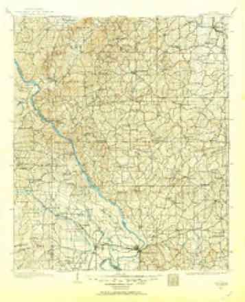
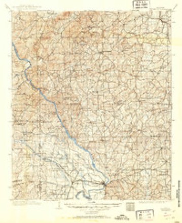
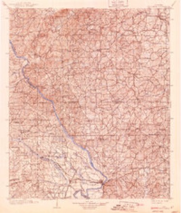
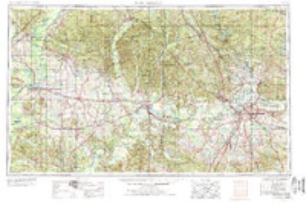
18 topographic sheets cover this place, the earliest surveyed in 1901 and the latest in 1987. It stands in the Wetumpka census division. It lies in ZIP code area 36092. It stands on We-hemt-le. The Survey maps it on the Wetumpka quadrangle. 7,220 people lived here at the 2020 count. It stands 200 feet above sea level.
Research this city
On record in Wetumpka
Buildings and businesses the archive holds for this place. Each opens its own page, with the source record it came from.
On the National Register 9 records
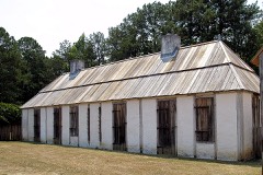 Fort ToulouseNational Historic Landmark · listed 1966
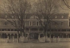 Alabama State Penitentiarylisted 1973
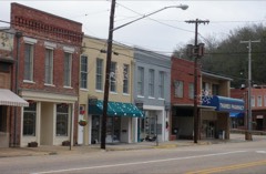 East Wetumpka Commercial Historic Districtlisted 1992
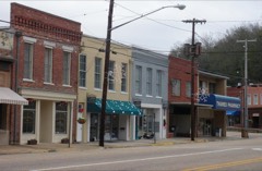 East Wetumpka Commercial Historic District (Boundary Increase)listed 1999
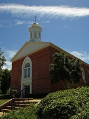 First Baptist Church of Wetumpkalisted 2008
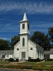 First Presbyterian Church Of Wetumpkalisted 1976
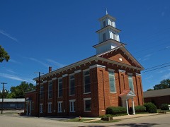 First United Methodist Churchlisted 1973
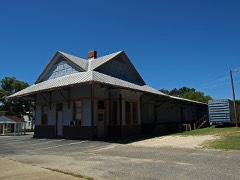 Wetumpka L & N Depotlisted 1975
- Abel Hagerty Houselisted 2008
Surveyed buildings and structures 11 records
- Baptist Church, 205 West Bridge Street, Wetumpkafederal building survey, 7 photographs
- Bates-Jesse House, 311 Government Street, Wetumpkafederal building survey, 12 photographs
- Bradford House, 401 West Main Street, Wetumpkafederal building survey, 6 photographs
- E. L. Smoot House, 705 Mansion Street, Wetumpkafederal building survey, 10 photographs
- J. Bruce Airey House, 1202 West Tuskeena Street, Wetumpkafederal building survey, 9 photographs
- John Bullard House, Harrogate Springs Road vicinity, Wetumpkafederal building survey, 8 photographs
- Kelly Fitzpatrick House, Autauga Street, Wetumpkafederal building survey, 14 photographs
- Laura Cantelow House, 207 West Tuskeena Street, Wetumpkafederal building survey, 3 photographs
- Old Tavern, Broad & West Bridge Streets, Wetumpkafederal building survey, 6 photographs
- Wetumpka Methodist Church, 306 West Tuskeena Street, Wetumpkafederal building survey, 6 photographs
- Wetumpka Presbyterian Church, West Bridge & North Bridge Streets, Wetumpkafederal building survey, 10 photographs
Population over time
2 figuresWetumpka grew from 6,528 to 7,220 between 2010 and 2020. These are the recorded population figures Wikidata holds for this place, reached through the Geographic Names Information System number this page is keyed on rather than by name, so they belong to this place and not to another of the same name. Most are census counts, but not all are: an early figure may be a founding or settlement estimate, and an estimate published within five years of a census is left out. The change column is computed, and is left blank where more than 20 years separate a figure from the one before it, because a gap that long is not a change between two counts.
| Year | People | Change |
|---|---|---|
| 2010 | 6,528 | |
| 2020 | 7,220 | +692 (+11%) |
Topographic sheets covering this place
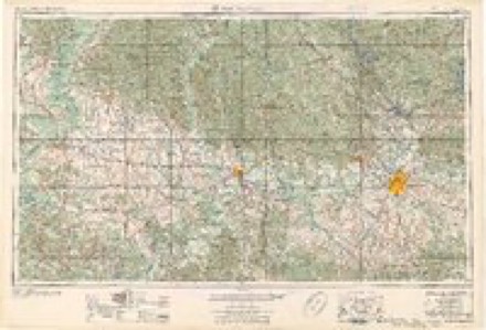
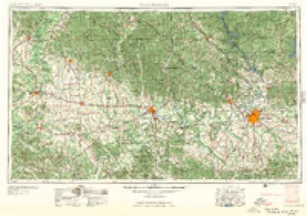
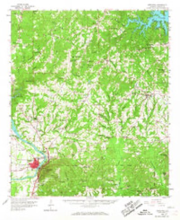
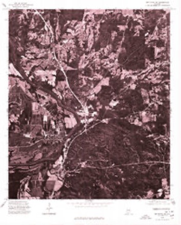
11 surveys from 18 printed sheetsMatched by testing this settlement's coordinate against the published boundary of every sheet in the United States Geological Survey's historical collection. Each opens the scanned sheet at the Survey.
- 1901 USGS Wetumpka quadrangle1:125000
- 1901 USGS Wetumpka quadrangle1:62500
- 1903 USGS Wetumpka quadrangle1:125000, 3 printings
- 1953 USGS Montgomery quadrangle1:250000, 4 printings
- 1956 USGS Montgomery quadrangle1:250000
- 1957 USGS Montgomery quadrangle1:250000
- 1959 USGS Wetumpka quadrangle1:62500, 2 printings
- 1975 USGS Wetumpka SW quadrangle1:24000
- 1986 USGS Clanton quadrangle1:100000
- 1987 USGS Clanton quadrangle1:100000
- 1987 USGS Wetumpka quadrangle1:24000, 2 printings
Photographs
8 of 11 photographs shown,Taken for the Office of War Information and the Farm Security Administration, who photographed the country between 1935 and 1944. Works of United States government photographers, with no known restriction on use. Each opens its catalogue record.
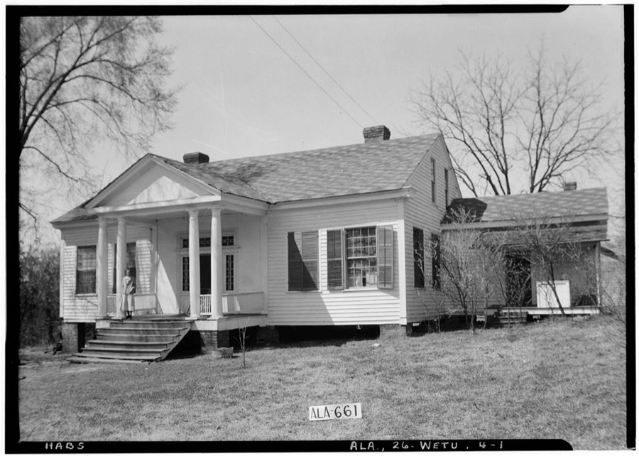
Photographer not recorded. Library of Congress
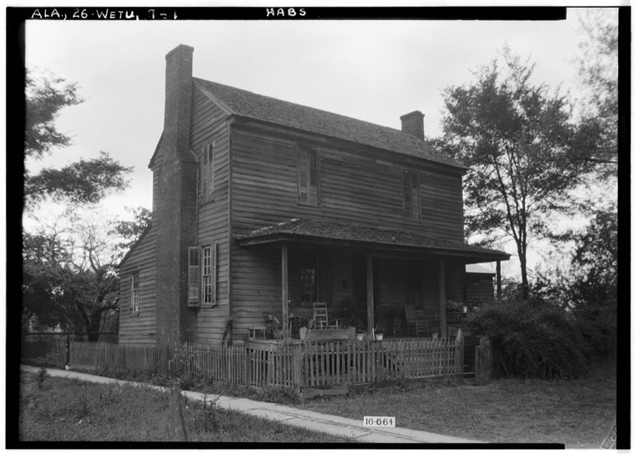
Photographer not recorded. Library of Congress
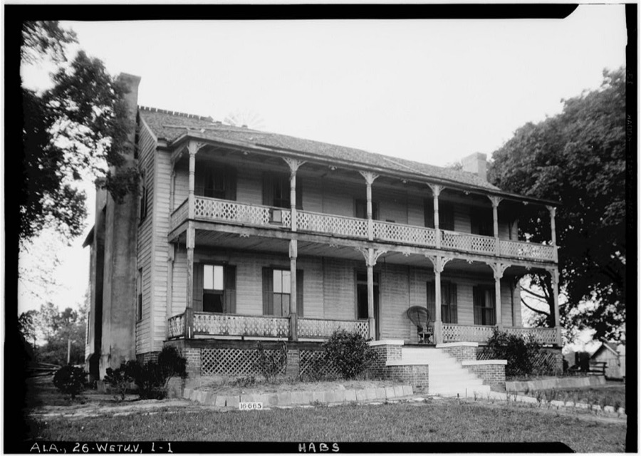
Photographer not recorded. Library of Congress
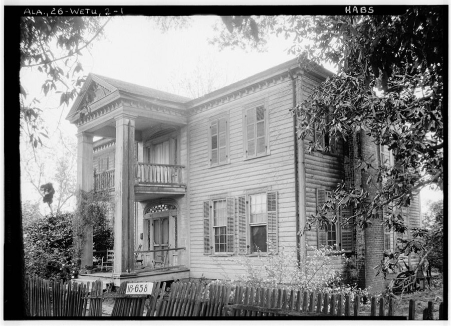
Photographer not recorded. Library of Congress
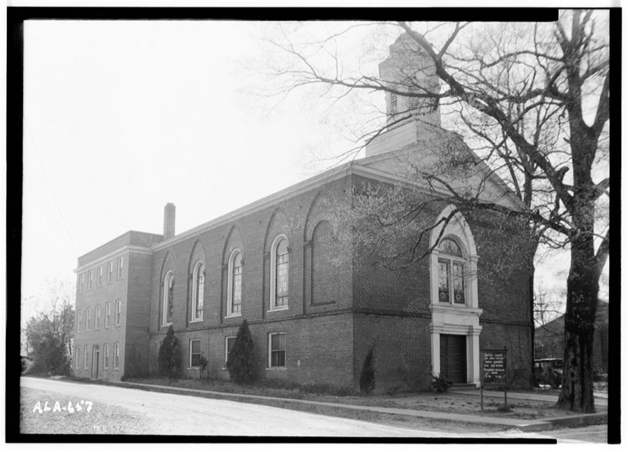
Photographer not recorded. Library of Congress
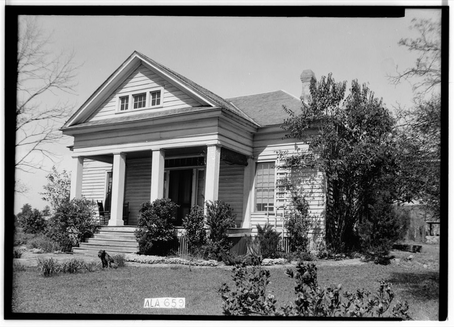
Photographer not recorded. Library of Congress
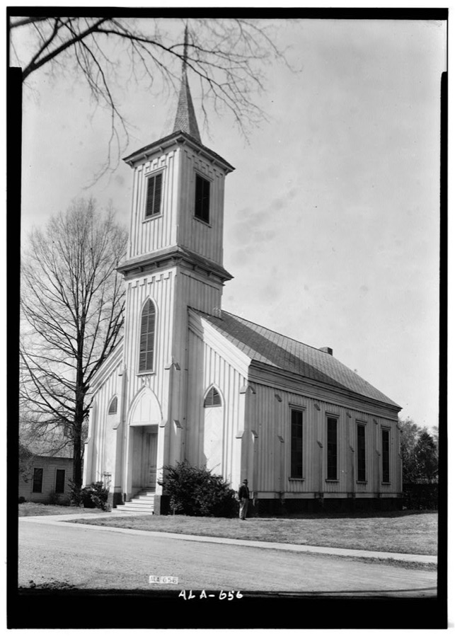
Photographer not recorded. Library of Congress
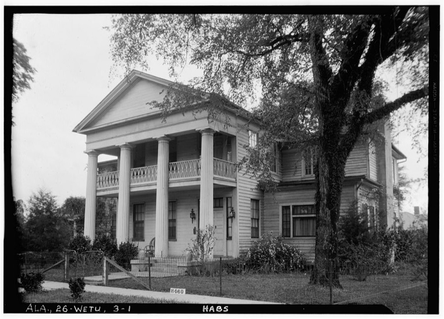
Photographer not recorded. Library of Congress
Every photograph of Elmore County
Fires near this place
152 since 1994Regional context, not property-specific evidence. The federal wildfire occurrence database lists 152 fires within 5 miles of Wetumpka between 1994 and 2017, burning about 880 acres in total. 7 started naturally. 14 were recorded as arson. Distance is straight-line from the map coordinates, so a fire counted here may appear on a neighbouring settlement's page as well.
| Reported cause | Fires |
|---|---|
| Debris and open burning | 64 |
| Equipment and vehicle use | 19 |
| Missing data/not specified/undetermined | 19 |
| Recreation and ceremony | 18 |
| Arson/incendiarism | 14 |
| Natural | 7 |
| Misuse of fire by a minor | 6 |
| Railroad operations and maintenance | 3 |
| Smoking | 2 |
The most recent of them, most recent first, with the day each was reported and the service that recorded it.
| Date | Cause | Size | Reported by | Name on the report |
|---|---|---|---|---|
| 9 September 1998 | Debris and open burning | under an acre | Alabama Forestry Commission | not named |
| 16 September 1999 | Debris and open burning | under an acre | Alabama Forestry Commission | not named |
| 16 September 1998 | Debris and open burning | 25 acres | Alabama Forestry Commission | not named |
| 12 September 2002 | Debris and open burning | under an acre | Alabama Forestry Commission | not named |
| 10 September 2002 | Debris and open burning | under an acre | Alabama Forestry Commission | not named |
| 1 September 1995 | Recreation and ceremony | 3.5 acres | Alabama Forestry Commission | not named |
| 7 August 2006 | Arson/incendiarism | 1.2 acres | Alabama Forestry Commission | not named |
| 27 August 2011 | Debris and open burning | 3.0 acres | Alabama Forestry Commission | 9 REDWOOD LN, AL |
Settlements close enough to share some of these fires:
Mines and quarries near this place
4 within 5 milesRegional context, not property-specific evidence. The federal mineral resources record lists 4 workings within 5 miles of Wetumpka: 4 producers. All of them still produce. What was taken out: Sand and Gravel, Construction, Clay. Distance is straight-line from the map coordinates, so a quarry counted here may appear on a neighbouring settlement's page as well.
| Where | Site | Commodity | Status | Recorded |
|---|---|---|---|---|
| Hillabee Pit No 2 | Clay | Producer | ||
| Flatwood Quarry | Sand and Gravel, Construction | Producer | Unconsolidated Sediments | |
| Nichols/Poundstone | Sand and Gravel, Construction | Producer | ||
| Pit #1 | Sand and Gravel, Construction | Producer |
Storms near this place
60 of 106 shownRegional context, not property-specific evidence. The National Weather Service names Wetumpka in 106 storm reports between 1995 and 2026: 56 thunderstorm wind, 27 hail, 8 tornado, 8 flash flood. The reports record 4 injuries. Each account below is quoted exactly as the forecast office filed it, from the NOAA Storm Events Database, and each date opens the federal record of that event.
| When | Event | Place named | Harm | What the report says |
|---|---|---|---|---|
| January 2019 | Tornado (EF2) | Wetumpka | 4 hurt | National Weather Service meteorologists surveyed damage in Elmore County and determined that it was consistent with an EF2 tornado, with maximum sustained winds near 135 mph. The tornado began near the Coosa River just southwest of downtown Wetumpka. It quickly intensified as it moved northeast into downtown Wetumpka. The extent of damage done to multiple structures in Wetumpka indicated a tornado with high-end EF2 wind speeds. The damage included: collapse/failure of exterior walls, significant damage to interior walls, roof failures, shifting of structures, and collapse of structures due to direct and indirect causes. Several vehicles were also tossed or rolled, with debris puncturing framing. Trees were also snapped and uprooted. The First Presbyterian Church was heavily damaged, but rescue/clean-up efforts precluded an accurate assessment of damage.||The tornado continued northeastward, crossed the Coosa River, and then paralleled State Route 170 as it continued to damage structures and snap and uproot trees. The tornado cycled as it moved northeast into the northern portions of the town of Eclectic, evident via a new radar TDS (tornado debris signature) and fluctuating degree of damage. The tornado dissipated just before Lake Martin, near Holly Mill Road. |
| March 1996 | Tornado (F1) | Wetumpka | $150,000 | no account filed |
| May 2008 | Lightning | Wetumpka | $50,000 | A tree that was struck by lightning fell onto a house and briefly trapped its occupants. |
| June 1998 | Thunderstorm Wind | Wetumpka | $45,000 | Trees were down and part of a roof was blown off at the Jordan Lake Marina. |
| November 2010 | Tornado (EF0) | Wetumpka | $35,000 | The tornado touched down west of US 231, north of Wetumpka. Some homes suffered shingle damage along River Falls Road. The tornado moved northeastward and as it approached US Highway 231, a roof of a large hay barn collapsed. The tornado then crossed CR-209 near Fortner Road, where several trees were uprooted. The tornado finally lifted near the intersection of Balm Road and Mt Zion Road. |
| July 2000 | Thunderstorm Wind | Wetumpka | $30,000 | Trees and power lines were blown down in and around Wetumpka. One vehicle was totally destroyed by a falling tree. |
| August 1995 | Thunderstorm Wind | Wetumpka | $22,000 | Thunderstorm winds downed trees in Elmore County. Considerable damage was caused in the Red Hill area in the northeast part of the county along Lake Martin. The Red Hill Volunteer Fire Department reported damage to 16 lakefront homes, two of the houses had their roofs blown completely off. Wetumpka Police reported trees and power lines down. Trees fell on two houses. |
| May 2019 | Lightning | Wetumpka | $20,000 | Lightning produced a house fire on River Ridge Street. |
| May 2006 | Lightning | Wetumpka | $20,000 | Lightning caused a fire that heavily damaged the attic of a home in the Redland Community. |
| September 1998 | Tornado (F0) | Wetumpka | $18,000 | A tornado moved northwest across western Elmore county from just northeast of Wetumka to just northwest of the Wallsboro community. Some minor damage was reported at the Julia Tutwiler Prison . Trees and power lines were down in Wallsboro and a doctor's office was damaged. |
| November 2005 | Tornado (F0) | Wetumpka | $11,000 | National Weather Service meteorologists surveyed the damage that affected a small area just west of Weoka. It has been determined that the damage was the result of a tornado. The tornado has been rated an F0 on the Fujita Damage Intensity Scale. A weak tornado briefly touched down near the intersection of Woods Road and Grass Farm Road. This location is approximately 1.4 miles southwest of Weoka or 11.7 miles north of Wetumpka. A few trees were snapped off along the short path. The tornado damage path was only 0.1 miles long and 30 yards wide at its widest point. The tornado was on the ground at 730 PM CST. Begin/End: 32.7121/86.2078 |
| August 2009 | Thunderstorm Wind | Wetumpka | $10,000 | Several trees and power lines were blown down, causing damage to the roof of at least one home. |
| August 2009 | Thunderstorm Wind | Wetumpka | $10,000 | A large tree was blown down onto AL-14, west of Wetumpka. Two vehicles subsequently ran into the fallen tree, although the occupants were not injured. |
| May 2009 | Thunderstorm Wind | Wetumpka | $10,000 | Trees and power lines were blown down in several locations around Elmore County, including Wetumpka. A few vehicles were damaged by the fallen trees. |
| July 2004 | Flash Flood | Wetumpka | $10,000 | Numerous roads were covered with water and temporarily impassable. |
| May 1998 | Hail | Wetumpka | $10,000 | Golf ball size hail was reported near Emerald Mountain. |
| May 1996 | Thunderstorm Wind | Wetumpka | $10,000 | no account filed |
| June 1996 | Hail | Wetumpka | $10,000 | no account filed |
| March 1996 | Hail | Wetumpka | $10,000 | no account filed |
| March 1996 | Hail | Wetumpka | $10,000 | no account filed |
| June 2005 | Flash Flood | Wetumpka | $8,000 | Several roadways across central Elmore County were covered with water and were temporarily impassable. |
| November 2004 | Thunderstorm Wind | Wetumpka | $8,000 | Several trees wee blown down on US 231 just south of Wetumpka. A few large signs were also damaged. |
| January 1996 | Thunderstorm Wind | Wetumpka | $8,000 | no account filed |
| April 2011 | Thunderstorm Wind | Wetumpka | $7,000 | A tree fell on a trailer on Wigwam Way in Wetumpka. |
| July 1995 | Thunderstorm Wind | Wetumpka | $7,000 | Trees and power lines were reported down in and around Wetumpka. |
| August 2011 | Thunderstorm Wind | Wetumpka | $5,000 | The south end zone fence was blown down and stadium lights received damage at the Hohenburg Football stadium. |
| April 2007 | Tornado (EF0) | Wetumpka | $5,000 | A brief tornado touched down near Ridgefield Drive in the New Bingham Community. The tornado caused minor damage to at least one home and knocked a few trees over. |
| March 2006 | Thunderstorm Wind | Wetumpka | $5,000 | Several trees and power lines were blown down. |
| March 2001 | Flash Flood | Wetumpka | $5,000 | Roads were flooded and temporarily impassible on the western side of Wetumpka. |
| June 1998 | Thunderstorm Wind | Wetumpka | $5,000 | Trees were down in Wetumpka. |
| April 1997 | Thunderstorm Wind | Wetumpka | $5,000 | Trees were blown down and a trailer was overturned in Titus, in the northwest part of the county. |
| June 1998 | Thunderstorm Wind | Wetumpka | $5,000 | no account filed |
| August 2006 | Thunderstorm Wind | Wetumpka | $4,000 | Trees and power lines were blown down. |
| April 1997 | Hail | Wetumpka | $4,000 | Dime to quarter sized hail was reported in Wetumpka. |
| July 1995 | Thunderstorm Wind | Wetumpka | $4,000 | Power lines and small trees were reported down just south of Wetumpka. |
| January 2010 | Thunderstorm Wind | Wetumpka | $3,000 | Several trees and power lines were blown down. |
| August 2009 | Thunderstorm Wind | Wetumpka | $3,000 | Trees were blown down at several locations near the city of Wetumpka. One large tree brought down power lines and poles, which blocked a portion of Willow Springs Road. |
| March 2000 | Thunderstorm Wind | Wetumpka | $3,000 | Trees were blown down near the intersection of Redland Road and Starr Road in Wetumpka. |
| June 2001 | Thunderstorm Wind | Wetumpka | $3,000 | no account filed |
| June 2009 | Thunderstorm Wind | Wetumpka | $2,000 | Several trees were blown down around the city of Wetumpka. |
| June 2001 | Hail | Wetumpka | $2,000 | no account filed |
| July 2011 | Thunderstorm Wind | Wetumpka | $1,000 | A portion of a privacy fence was blown over. |
| June 2011 | Thunderstorm Wind | Wetumpka | $1,000 | Several trees were blown down on AL-170, northeast of Wetumpka. |
| July 2008 | Thunderstorm Wind | Wetumpka | $1,000 | Trees were blown down at several locations in and around Wetumpka. |
| April 2005 | Hail | Wetumpka | $1,000 | Quarter size hail was reported in the Holtville area. |
| April 2005 | Hail | Wetumpka | $1,000 | Quarter size hail was observed just north of Wetumpka. |
| April 2005 | Hail | Wetumpka | $1,000 | Numerous reports of quarter size hail were received from in and around Wetumpka. |
| March 2003 | Thunderstorm Wind | Wetumpka | $1,000 | A few trees were blown down near Wetumpka. Pea size hail also fell during the storm. |
| June 2001 | Thunderstorm Wind | Wetumpka | $1,000 | no account filed |
| January 2026 | Thunderstorm Wind | Wetumpka | - | Trees and power lines were downed in the Wetumpka area. |
| March 2026 | Thunderstorm Wind | Wetumpka | - | Numerous trees were downed on Flatwood Rd, Chapel Rd, and Holtville Rd northwest of Wetumpka. |
| February 2025 | Thunderstorm Wind | Wetumpka | - | Trees and power lines were downed in the Wetumpka area. |
| April 2025 | Thunderstorm Wind | Wetumpka | - | Multiple trees and power lines were downed across Elmore County. |
| May 2024 | Hail | Wetumpka | - | Ping pong ball-size hail reported near Elmore County EMA office. |
| August 2023 | Thunderstorm Wind | Wetumpka | - | Trees uprooted in various parts of Elmore County. |
| August 2023 | Thunderstorm Wind | Wetumpka | - | Trees uprooted around and north of Wetumpka, including at Chapel Road and Crenshaw Drive, Rea Road and Weoka Road, and U.S. Highway 231 and Green Street. |
| July 2023 | Thunderstorm Wind | Wetumpka | - | Several trees uprooted and power lines downed in Wetumpka. |
| July 2023 | Thunderstorm Wind | Wetumpka | - | Several trees uprooted in the Wetumpka area. |
| April 2022 | Tornado (EF2) | Wetumpka | - | National Weather Service meteorologists surveyed damage in southern Elmore County and determined that it was consistent with an EF2 tornado, with maximum winds near 134 mph. The tornado touched down on Harrogate Springs Road and tracked northeast snapping and uprooting trees. It strengthened to EF2 as it crossed Wildwood Lane where a large swath of trees were snapped and one residence suffered significant damage. The tornado weakened as it crossed Jimshill Road and dissipated near Firetower Road. |
| June 2022 | Thunderstorm Wind | Wetumpka | - | Several trees uprooted along Central Plank Road. |
Newspapers printed here
168 digitised pages1 paper published in this town, digitised by the Library of Congress and free to read: 42 issues, 168 pages. Every page is searchable, so a name or a street can be looked for directly in what the town printed about itself at the time.
| Newspaper | Published |
|---|---|
| The State Guard | 1847 to 18?? |
What the paper printed
20,177 wordsFront pages of the local paper, read from the Library of Congress scans: 6 issues spread across its run from 1847 to 1848, 20,177 words in total. Each is reproduced on its own page, exactly as the recogniser returned it.
These pages read less well than anything else here, and the number is worth stating: about three words in four come through cleanly, against nine in ten for the building records. An 1896 broadsheet sets eight-point type in seven columns on microfilm, which is the hardest thing in this archive to read by machine. We tested our own recognisers against the Library's and they were not better, so the Library's text is what appears, with the wholly unreadable columns removed. Read it as a guide to what the paper covered, and follow the link to the scan before quoting anything.
| Issue | Paper | Length |
|---|---|---|
| 1847-05-11 | The State Guard | 3,235 words |
| 1847-06-08 | The State Guard | 3,337 words |
| 1847-07-13 | The State Guard | 4,300 words |
| 1847-08-17 | The State Guard | 3,036 words |
| 1848-06-20 | The State Guard | 3,245 words |
| 1848-10-24 | The State Guard | 3,024 words |
Nearest settlements
The eight closest, with where each one stands in the county. Distances are straight-line, computed from the Geographic Names Information System coordinates.
| Map | Place | Distance | Sheets |
|---|---|---|---|
| Saint Clair | 1.3 miles | 18 | |
| Blueberry Hill | 1.4 miles | 18 | |
| Tarwater | 1.8 miles | 18 | |
| Quail Run | 1.8 miles | 18 | |
| Harrogate Springs | 2.1 miles | 18 | |
| Cherokee Estates | 2.6 miles | 18 | |
| Wallsboro | 3.0 miles | 18 | |
| Tuskugu (historical) | 3.5 miles | 17 |
Elsewhere
Matched on this settlement's Geographic Names Information System number rather than its name, so it cannot be a different place of the same name in another state.
| Wikipedia article on Wetumpka | An encyclopaedic summary. Its text is share-alike, so it is linked here rather than copied. |
| Wikidata item Q79433 | The structured record the population and elevation above come from. Public domain (CC0). |
Provenance
This settlement is recorded in the Geographic Names Information System as feature 155305. The sheet list is computed by point-in-boundary test against the United States Geological Survey's historical topographic inventory. Both are works of the United States government and carry no copyright under 17 U.S.C. 105.
Wildfire. Short, Karen C. 2022. Spatial wildfire occurrence data for the United States, 1992-2020 [FPA_FOD_20221014]. 6th Edition. Fort Collins, CO: Forest Service Research Data Archive. https://doi.org/10.2737/RDS-2013-0009.6 Collected with United States Government funding and usable without additional permissions or fees.
Mines and quarries. USGS Mineral Resources Data System (MRDS) https://mrdata.usgs.gov/mrds/ A work of the United States government, no copyright under 17 U.S.C. 105.
Storms. NOAA National Centers for Environmental Information, Storm Events Database https://www.ncei.noaa.gov/stormevents/ A work of the United States government, no copyright under 17 U.S.C. 105. Narratives are quoted verbatim from the National Weather Service report and are not edited or summarised.