 Block
From the record
31 National Register listings published here, 1 of them a National Historic Landmark.
Sources: the National Register database, National Park Service
125 topographic sheets and 10 fire insurance atlases across 3 places.
31 National Register listings published here, 1 of them a National Historic Landmark.
Sources: the National Register database, National Park Service
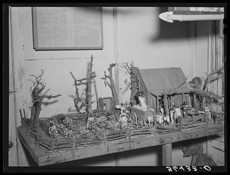
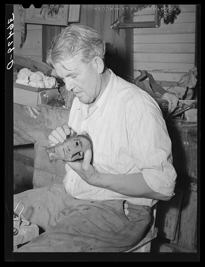
Taken for the Office of War Information and the Farm Security Administration, who photographed the country between 1935 and 1944. Works of United States government photographers, with no known restriction on use. Each opens its catalogue record.
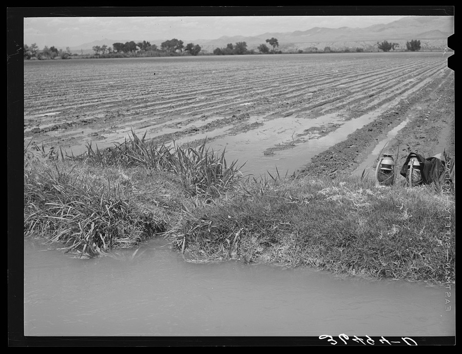
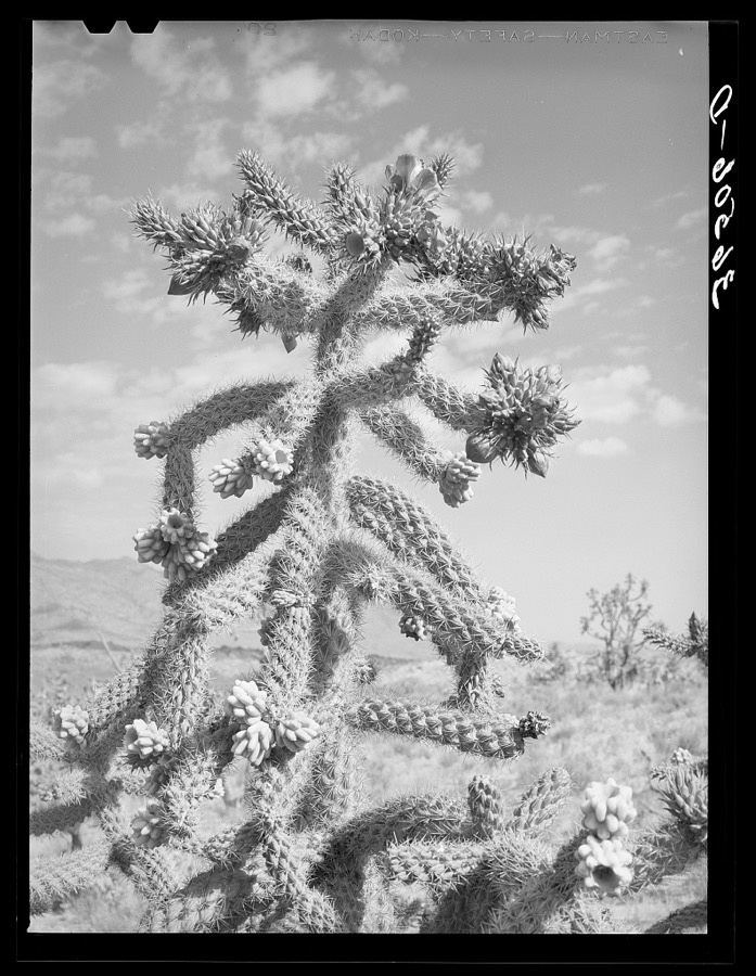
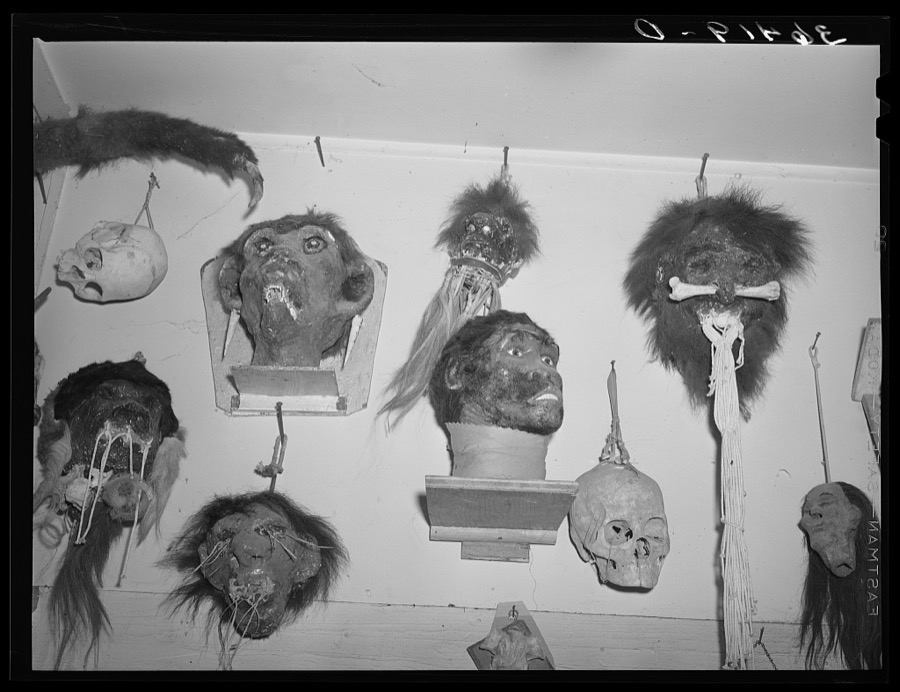
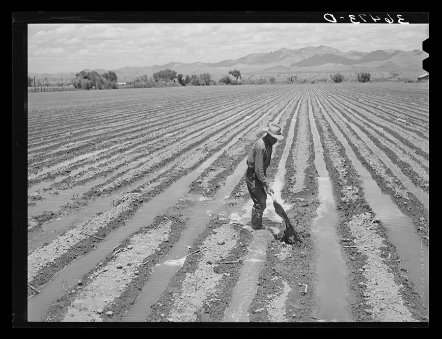
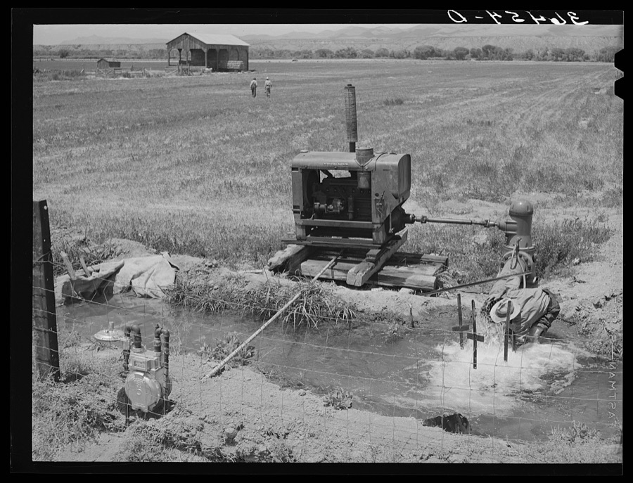
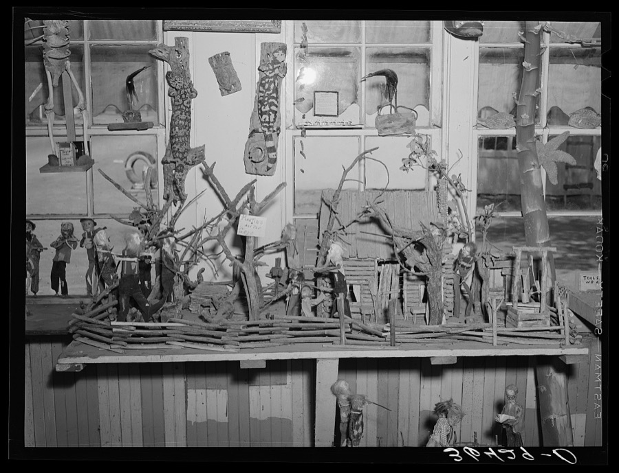
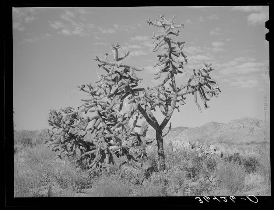
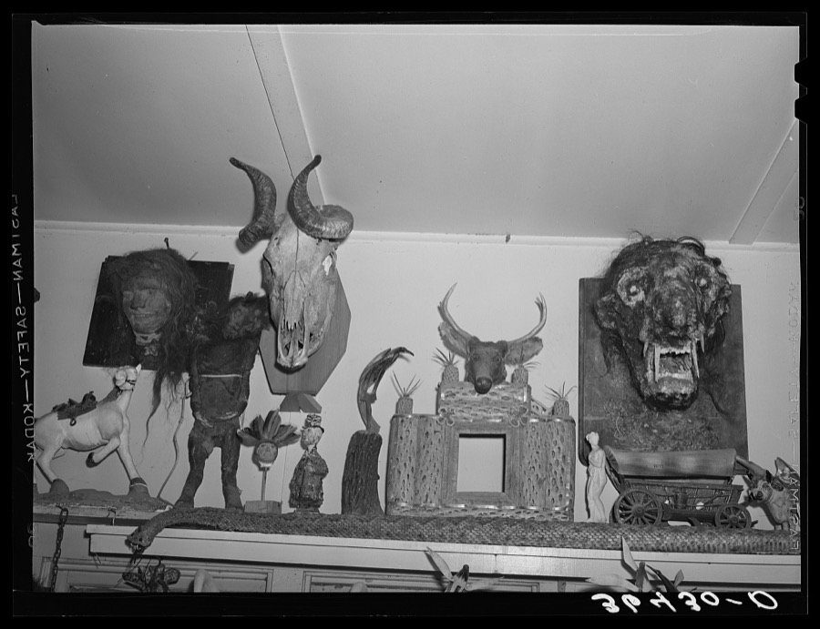
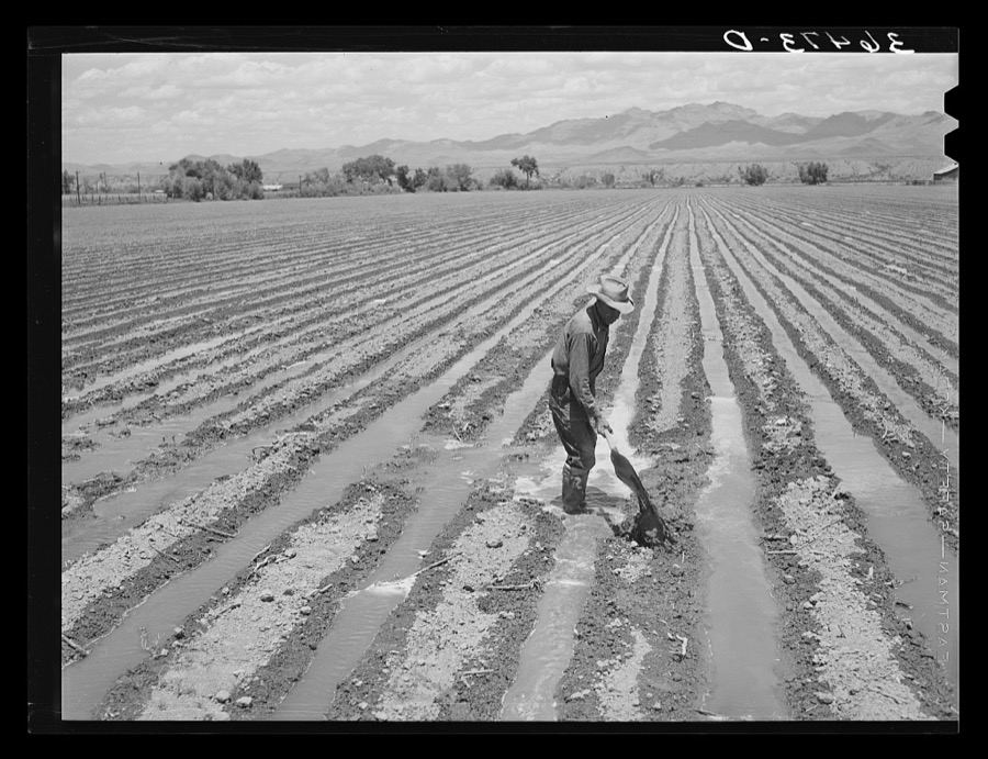
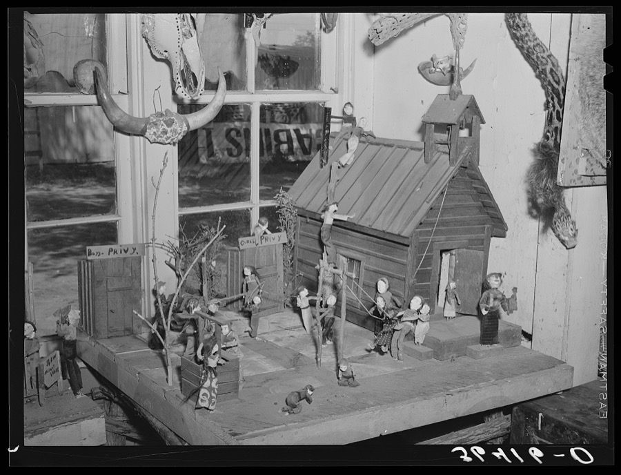
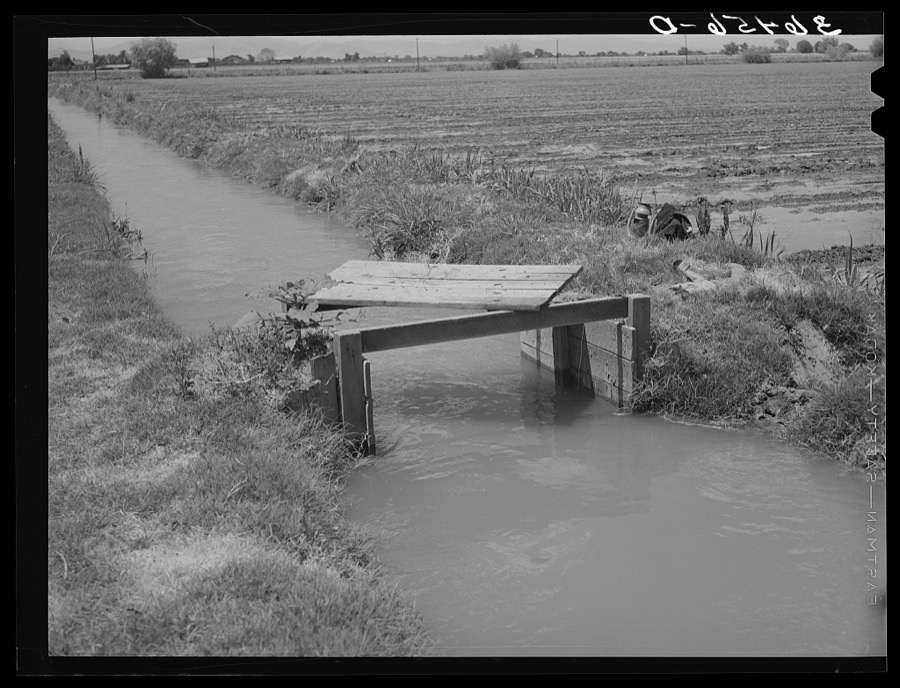
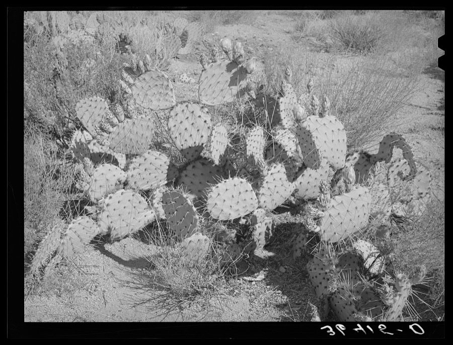
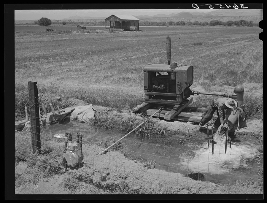
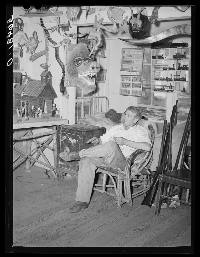
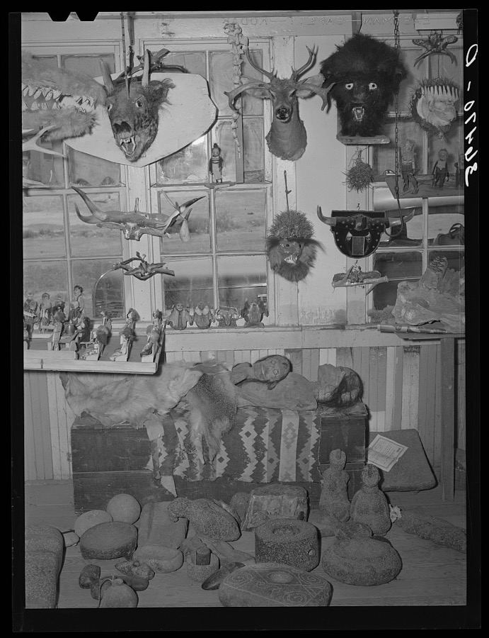
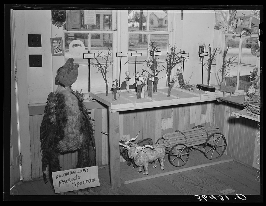
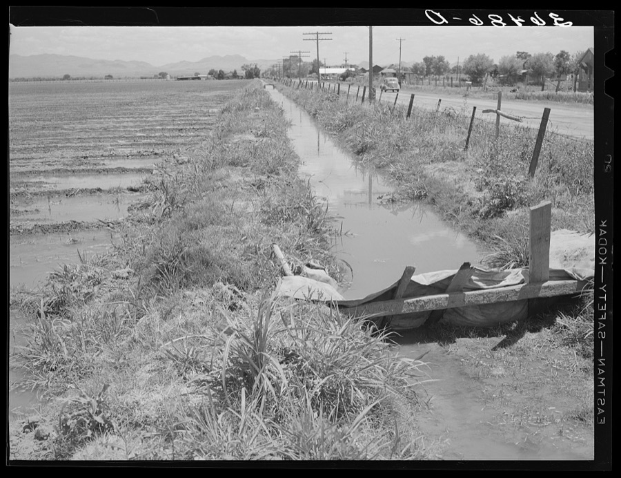
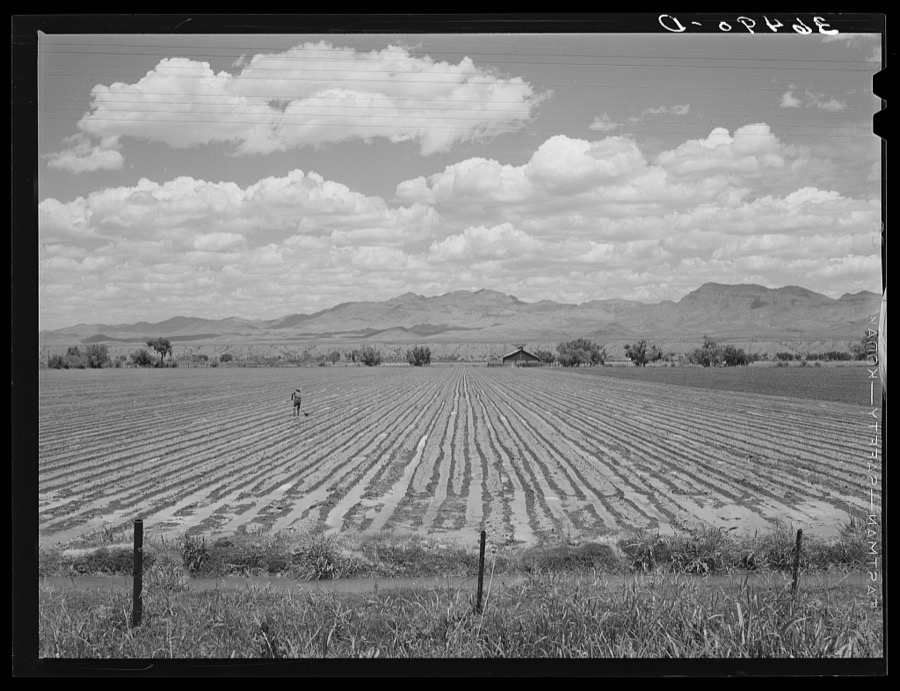
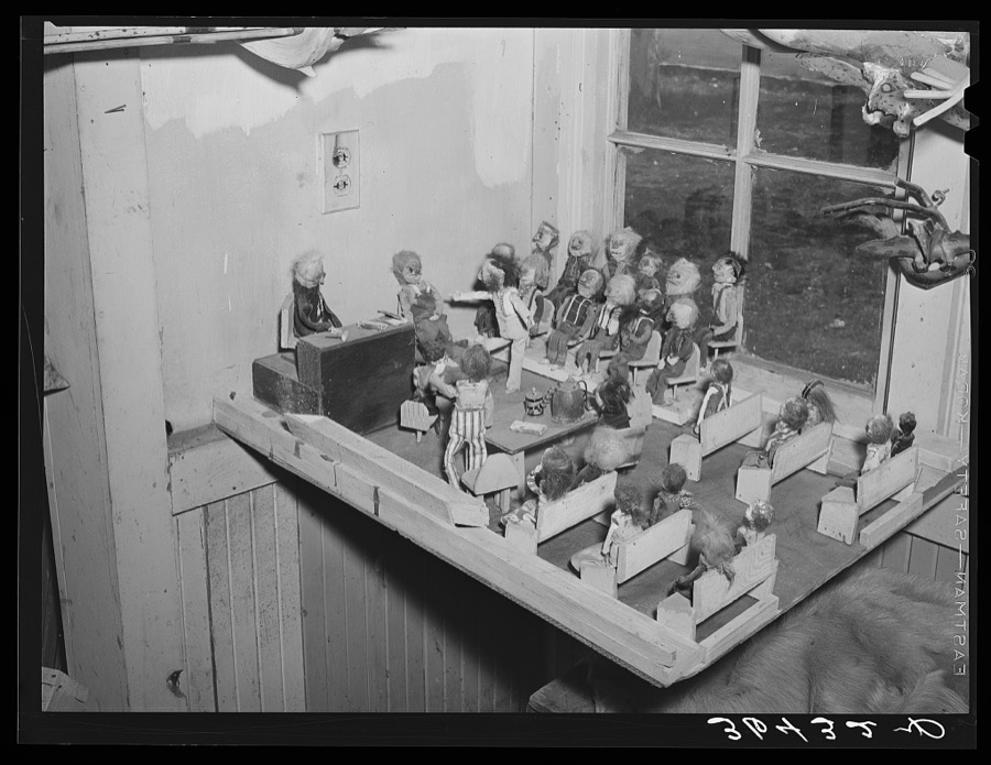
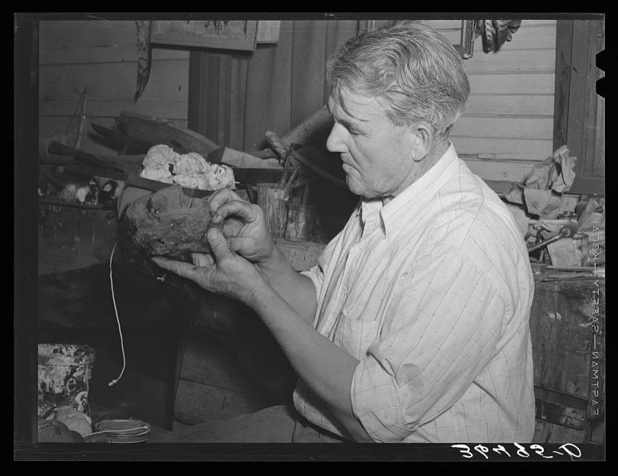
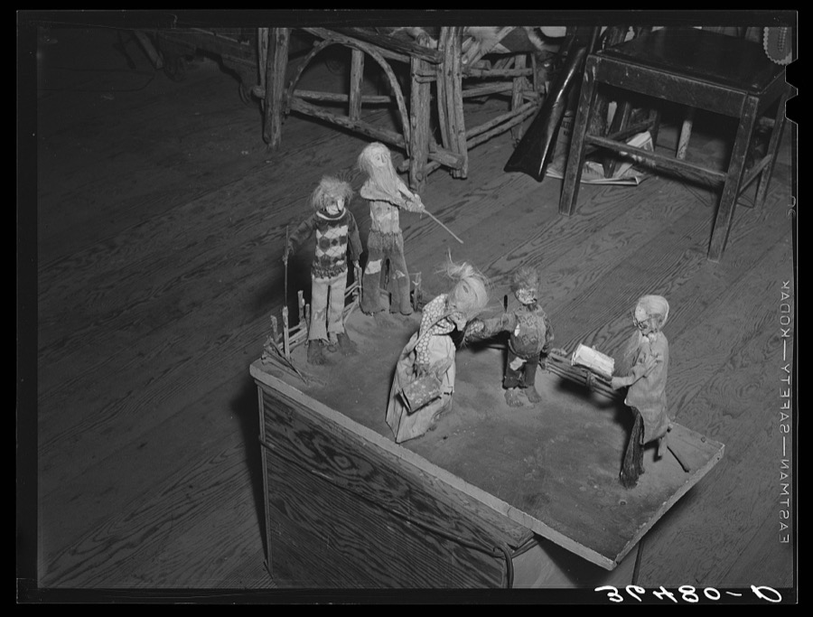
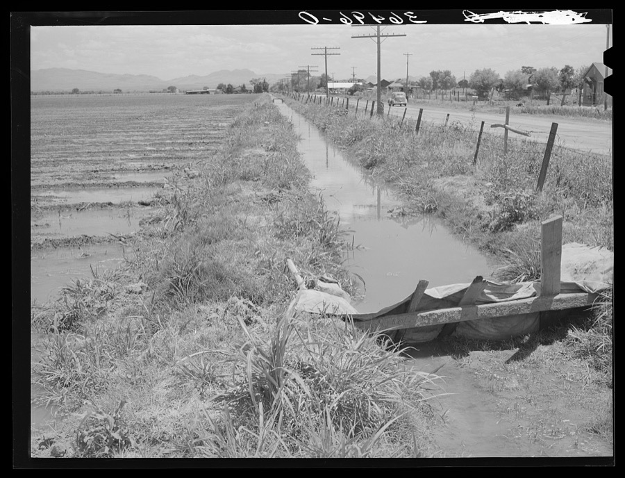
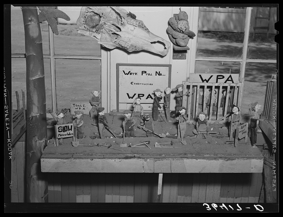
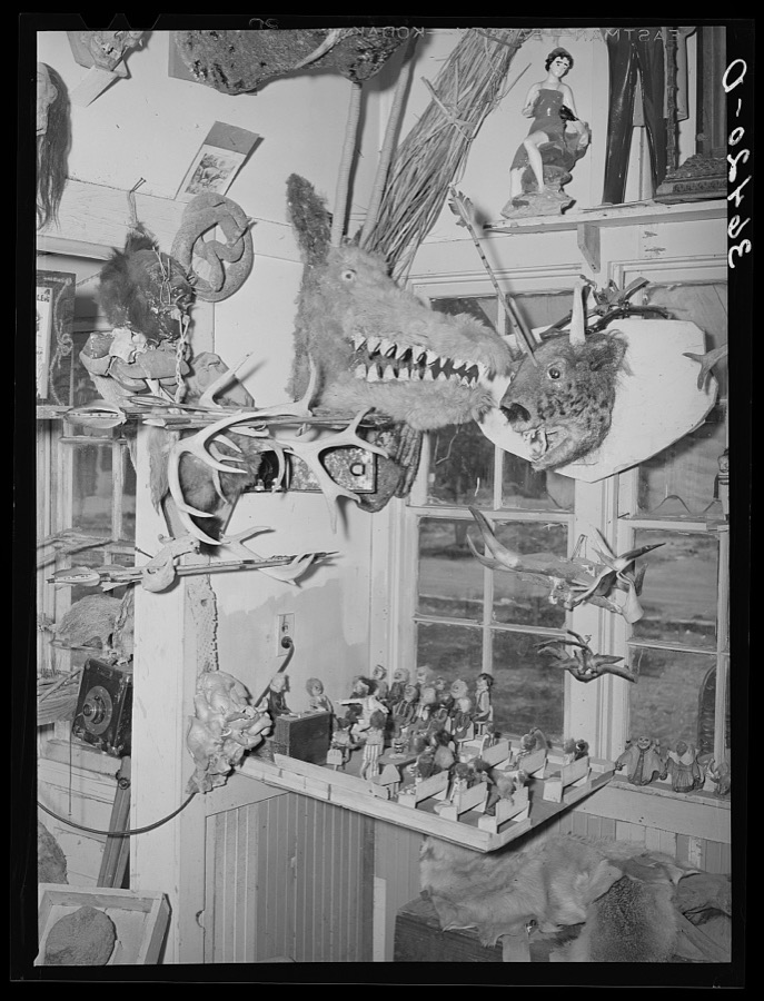
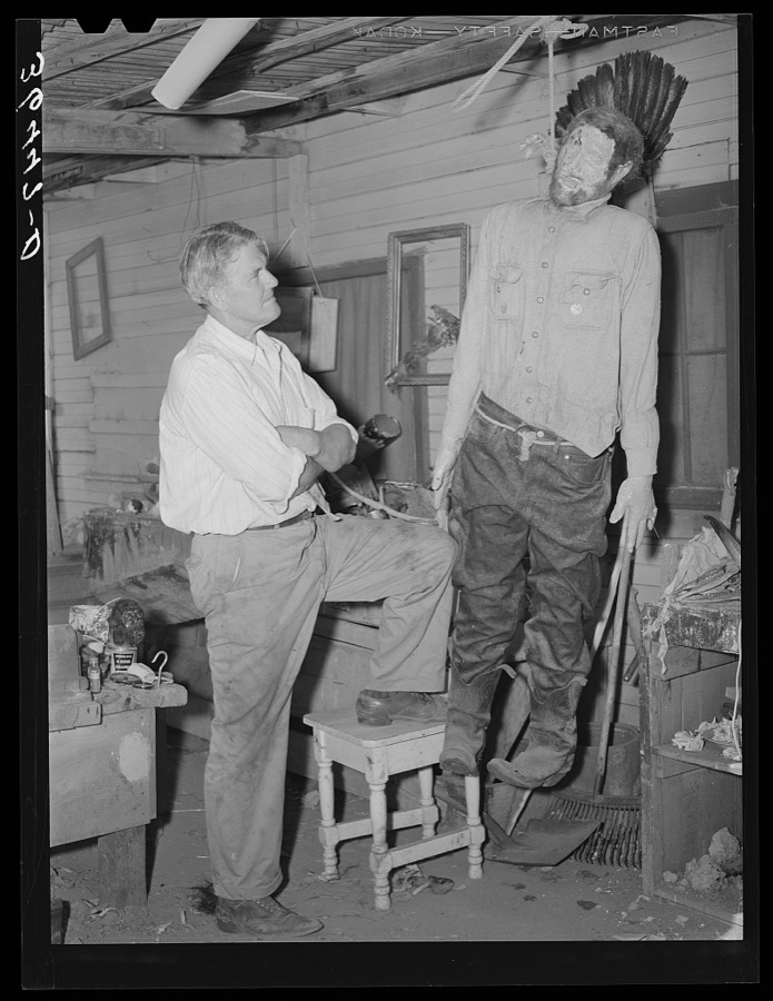
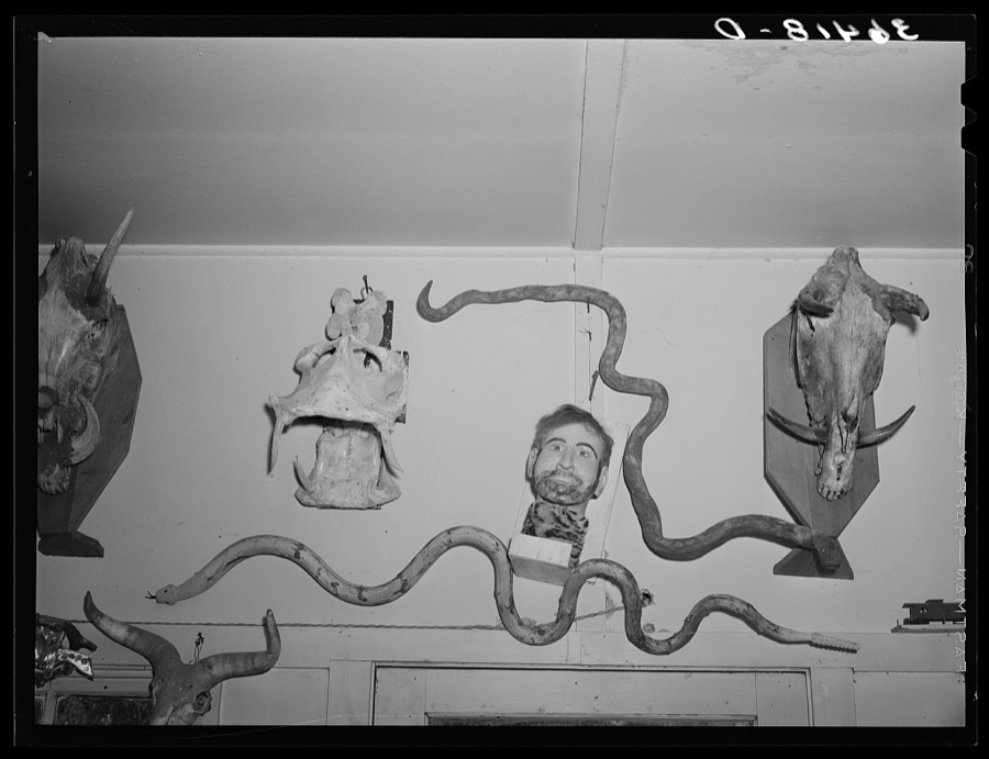
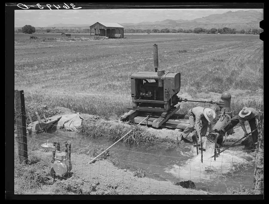
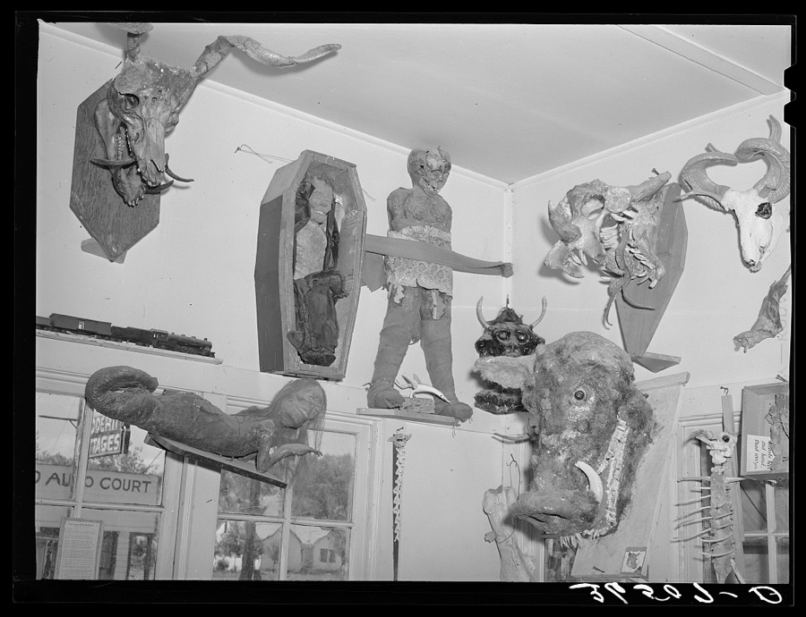
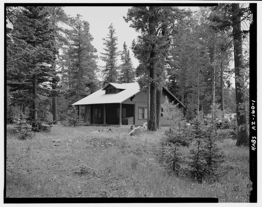
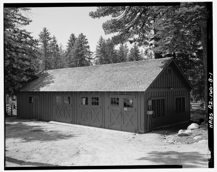
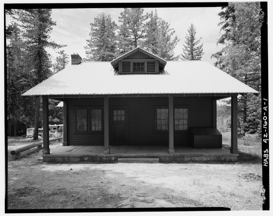
Every property in this county listed on the National Register of Historic Places, with the year it was listed and the federal nomination document.
| Photograph | Property | Type | Listed | Reference |
|---|---|---|---|---|
 | Arizona Bank and Trust | building | 1988 | 87002557 |
| Richard Bingham House | building | 1988 | 87002556 | |
 | Bonita Store | building | 1998 | 98000172 |
 | Paul Brooks House | building | 1988 | 87002559 |
| Buena Vista Hotel | building | 1988 | 87002560 | |
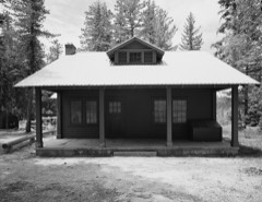 | Columbine Work Station | building | 1993 | 93000516 |
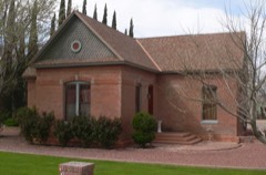 | T. D. Cross House | building | 1988 | 87002563 |
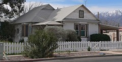 | William Charles Davis House | building | 1988 | 87002565 |
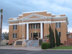 | Graham County Courthouse | building | 1982 | 82002077 |
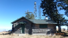 | Heliograph Lookout Complex | structure | 1988 | 87002467 |
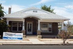 | Joe Horowitz House | building | 1988 | 87002566 |
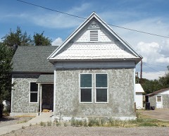 | House at 611 Third Avenue | building | 1988 | 87002568 |
| Kearny Campsite and Trail | site | 1974 | 74000454 | |
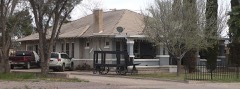 | Mathew O'Brien House | building | 1988 | 87002570 |
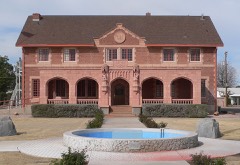 | Oddfellows Home | building | 1988 | 87002571 |
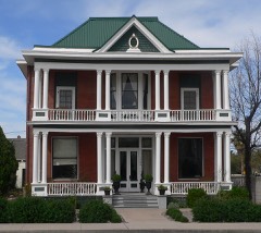 | George A. Olney House | building | 1988 | 87002574 |
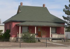 | Alonzo Hamilton Packer House | building | 1988 | 87002575 |
| Power's Cabin | building | 1975 | 75000348 | |
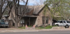 | David Ridgeway House | building | 1988 | 87002576 |
| Safford High School | building | 1988 | 87002577 | |
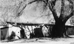 | Sierra Bonita Ranch | building | 1966 | 66000181 |
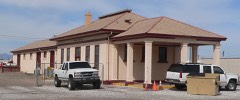 | Southern Pacific Railroad Depot | building | 1988 | 87002578 |
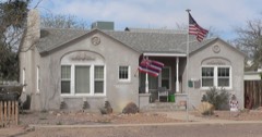 | Hugh Talley House | building | 1988 | 87002580 |
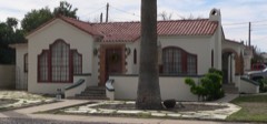 | William Talley House | building | 1988 | 87002581 |
| Webb Peak Lookout Tower | structure | 1988 | 87002464 | |
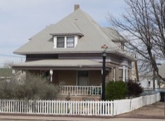 | James R. Welker House | building | 1988 | 87002582 |
| West Peak Lookout Tower | structure | 1988 | 87002466 | |
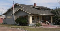 | David Wickersham House | building | 1988 | 87002583 |
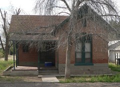 | Dan Williams House | building | 1988 | 87002584 |
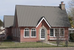 | J. Mark Wilson House | building | 1988 | 87002585 |
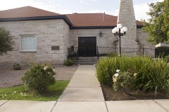 | Woman's Club | building | 1988 | 87002586 |
Sampled issues, machine-read from the Library of Congress scan and published page by page, so every headline and column is searchable text.
Safford, Ariz., 1896 to 189?. Machine-read from the Library of Congress scan.
Safford, Ariz., 1895 to 1923. Machine-read from the Library of Congress scan.
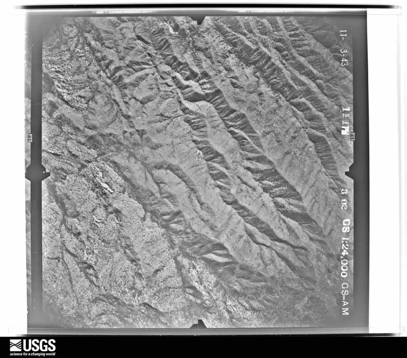
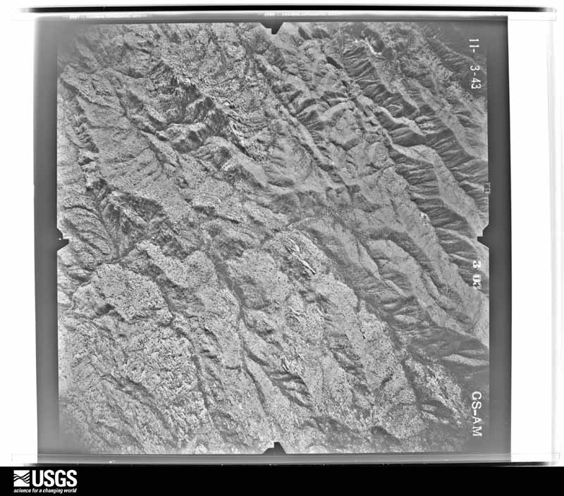
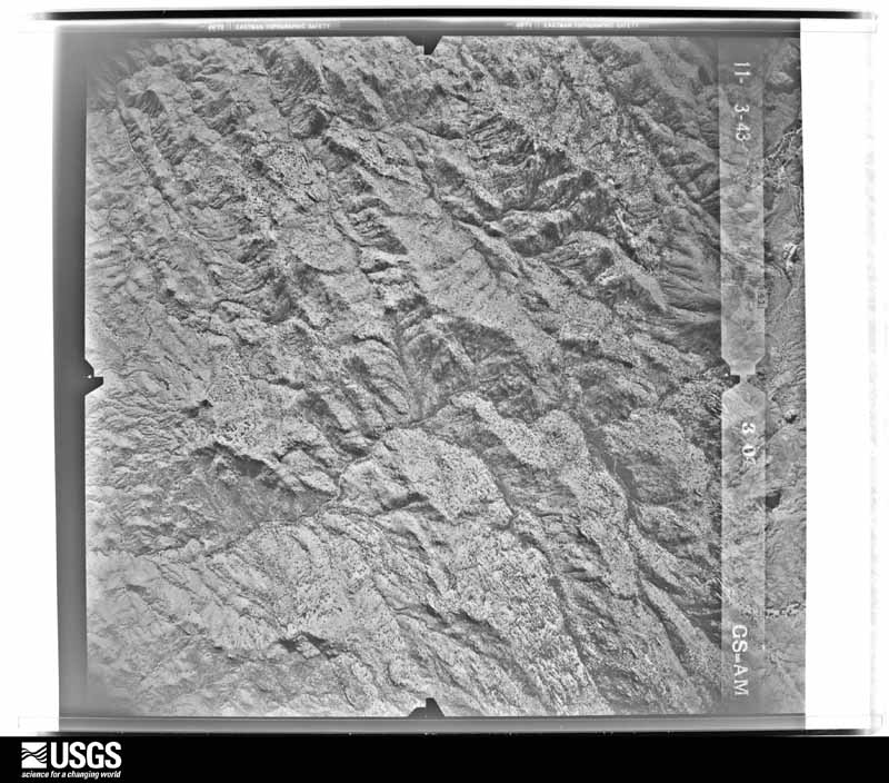
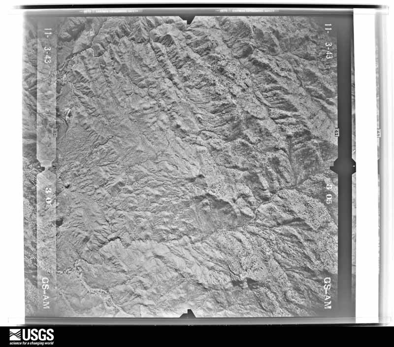
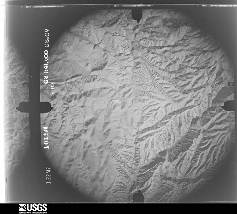
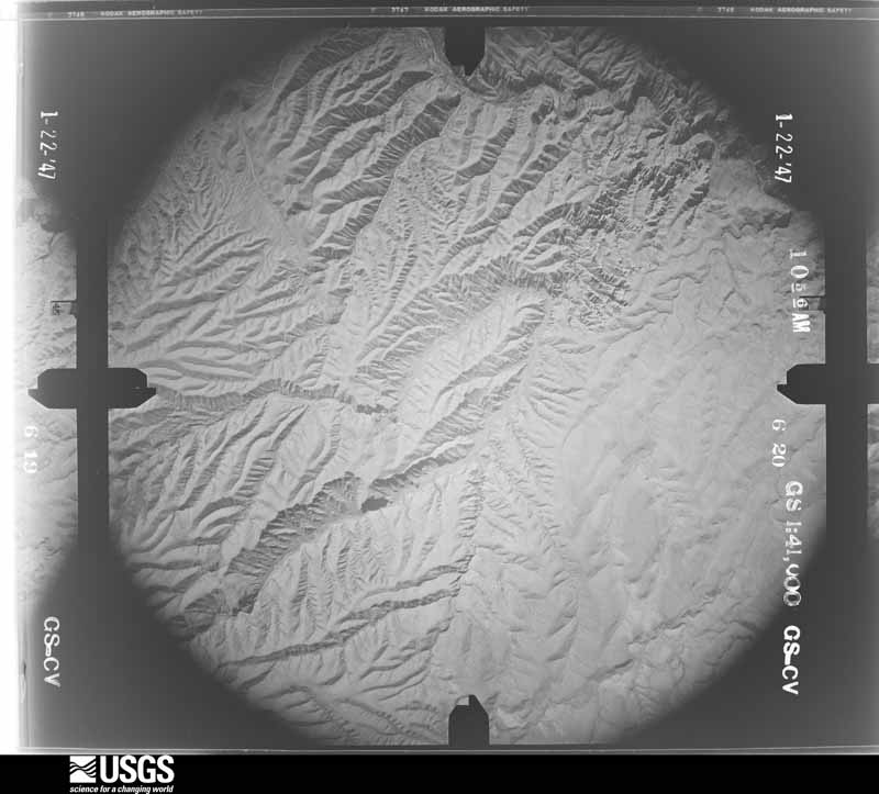
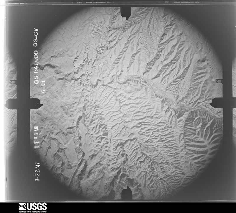
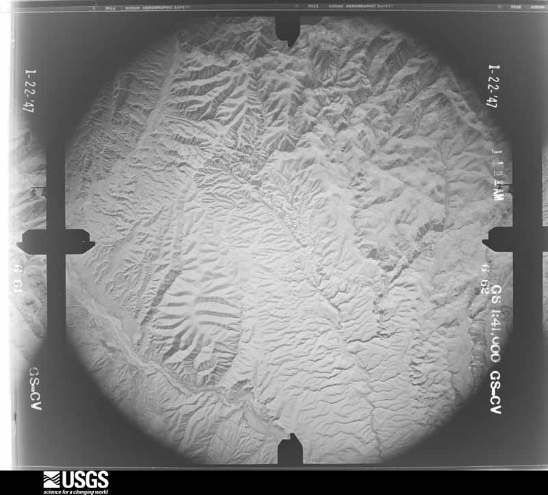
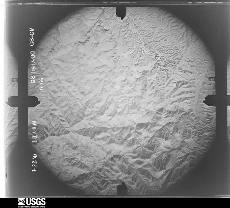
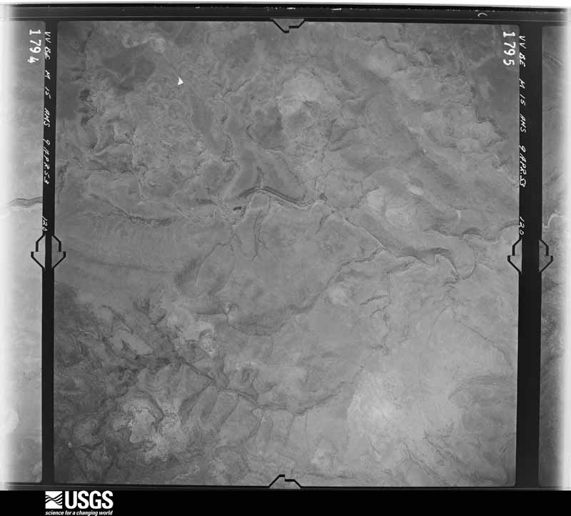
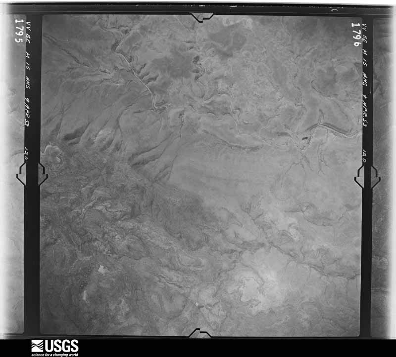
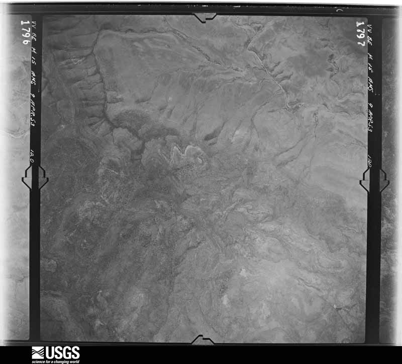
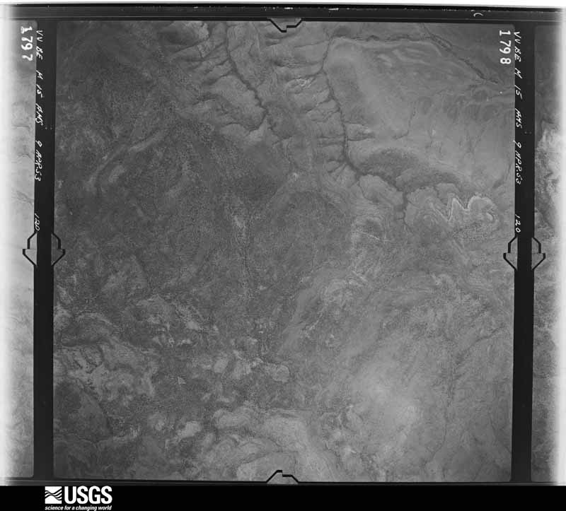
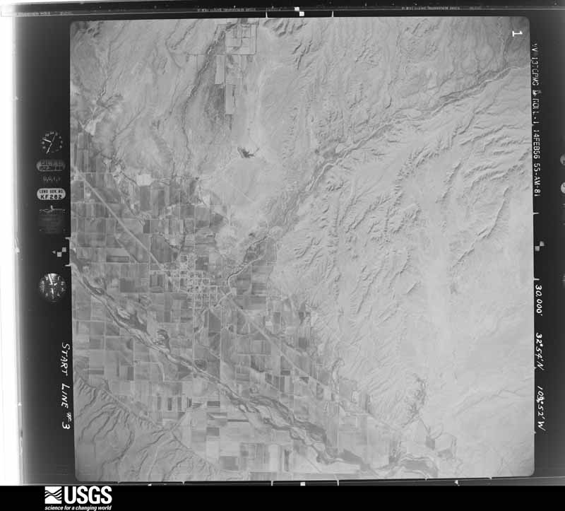
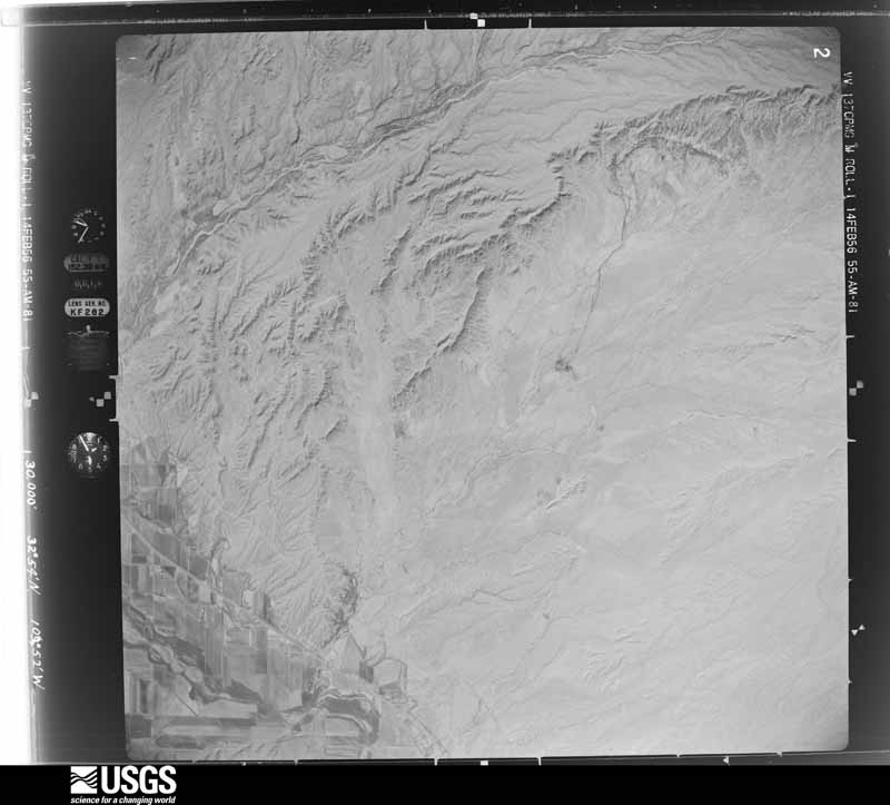
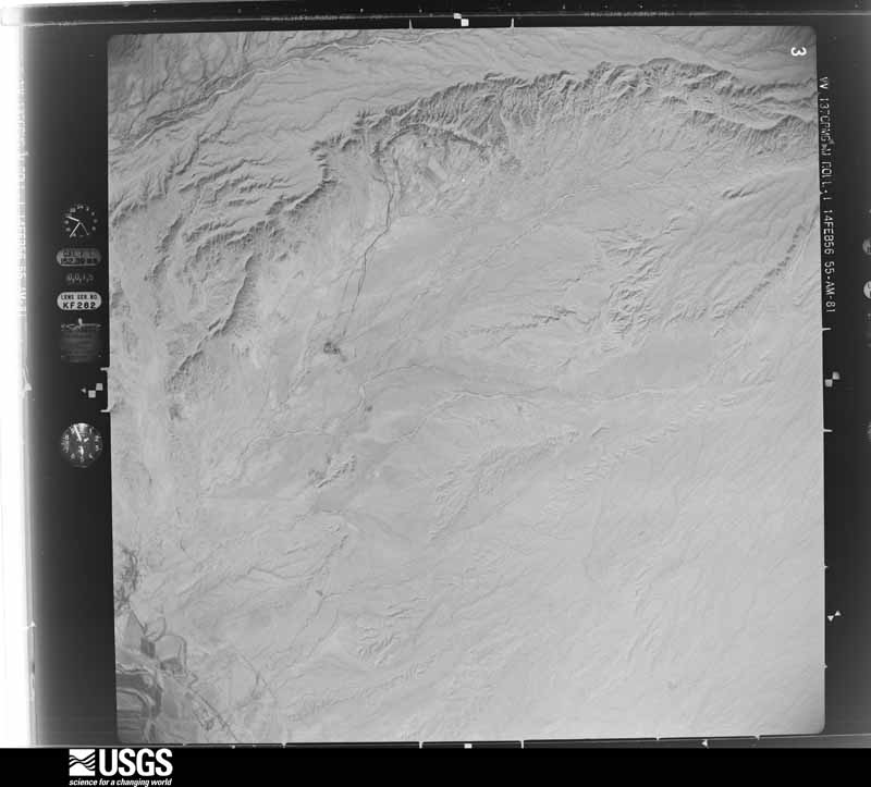
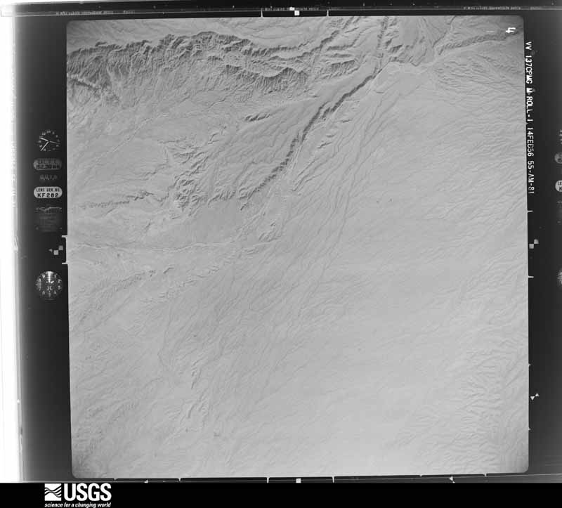
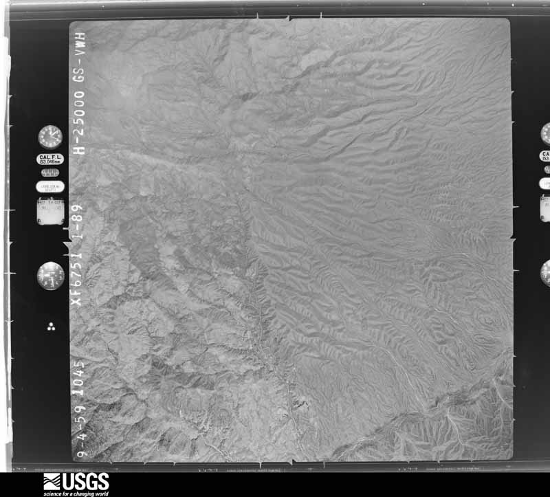
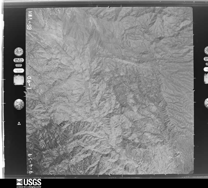
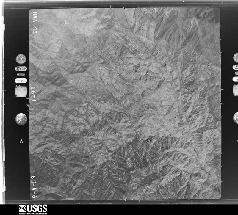
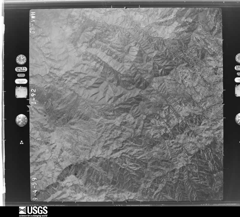
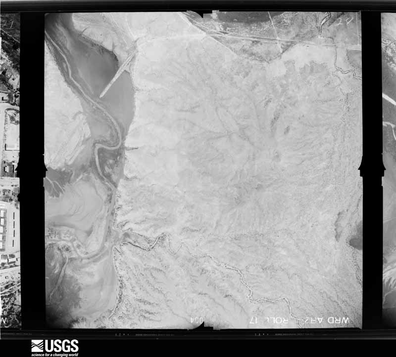
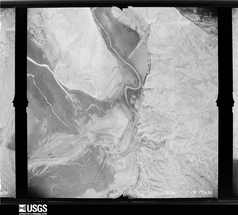
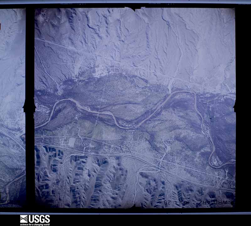
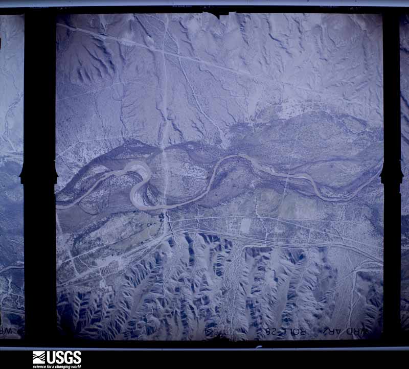
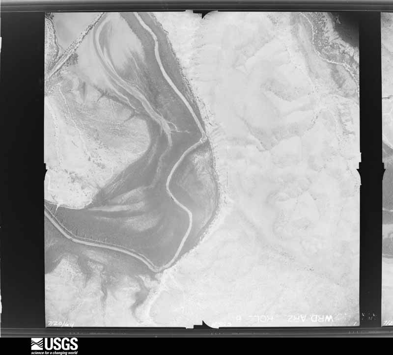
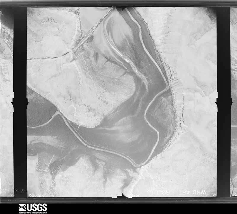
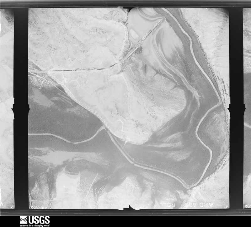
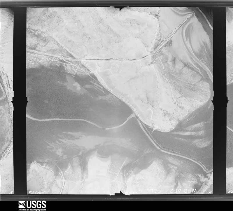
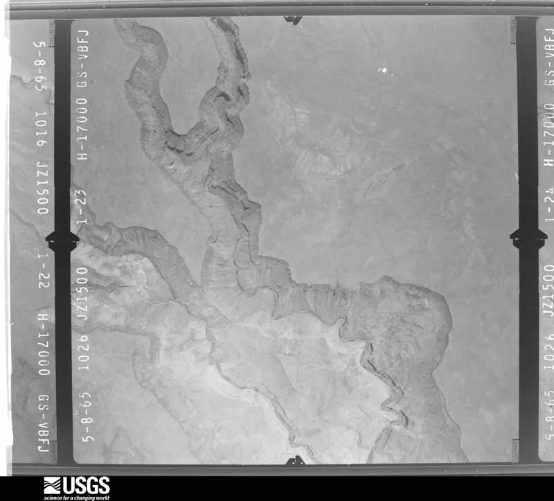
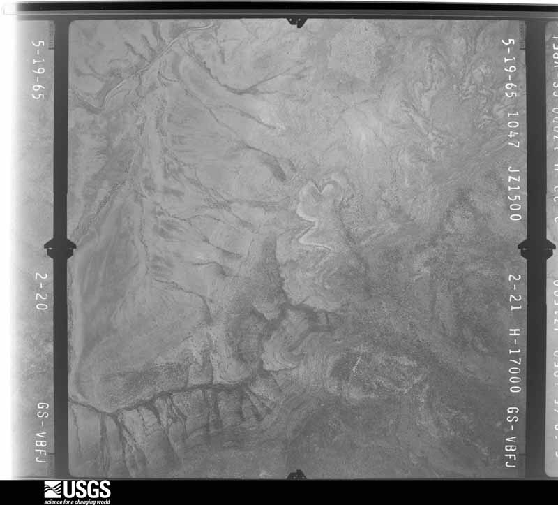
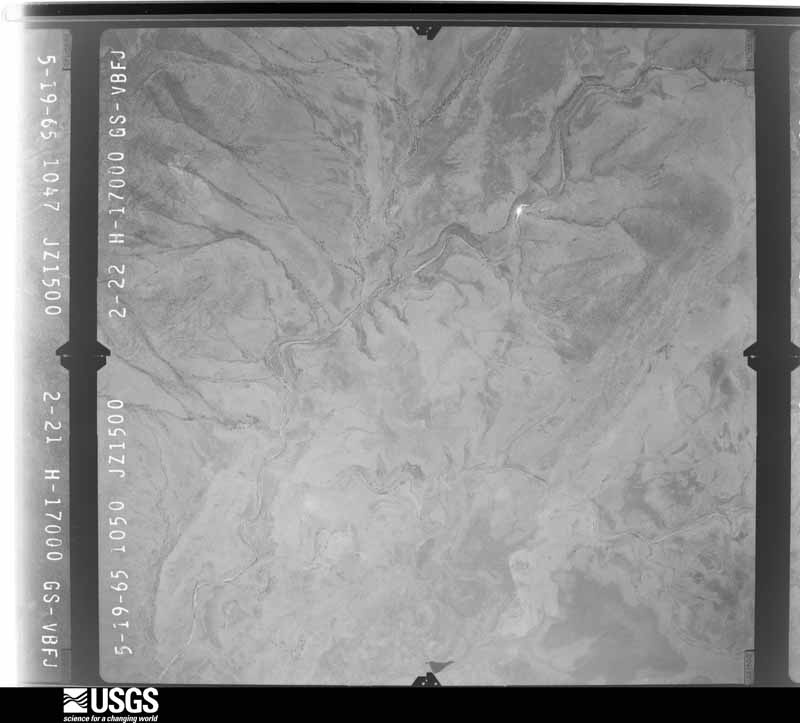
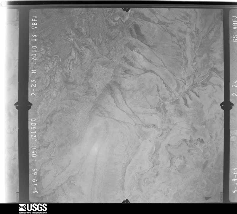
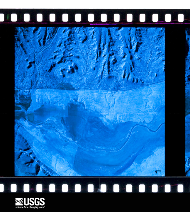
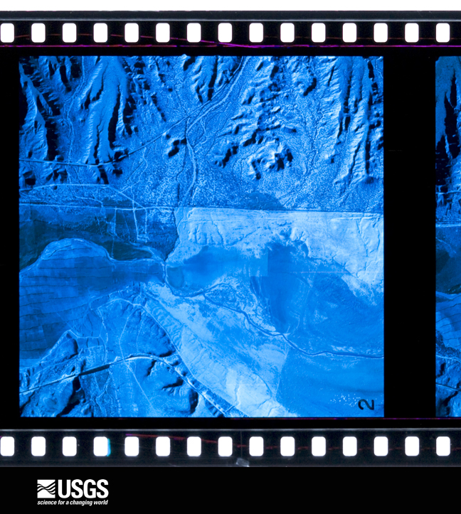
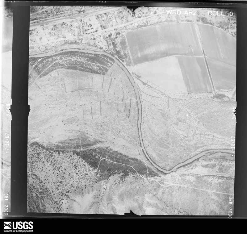
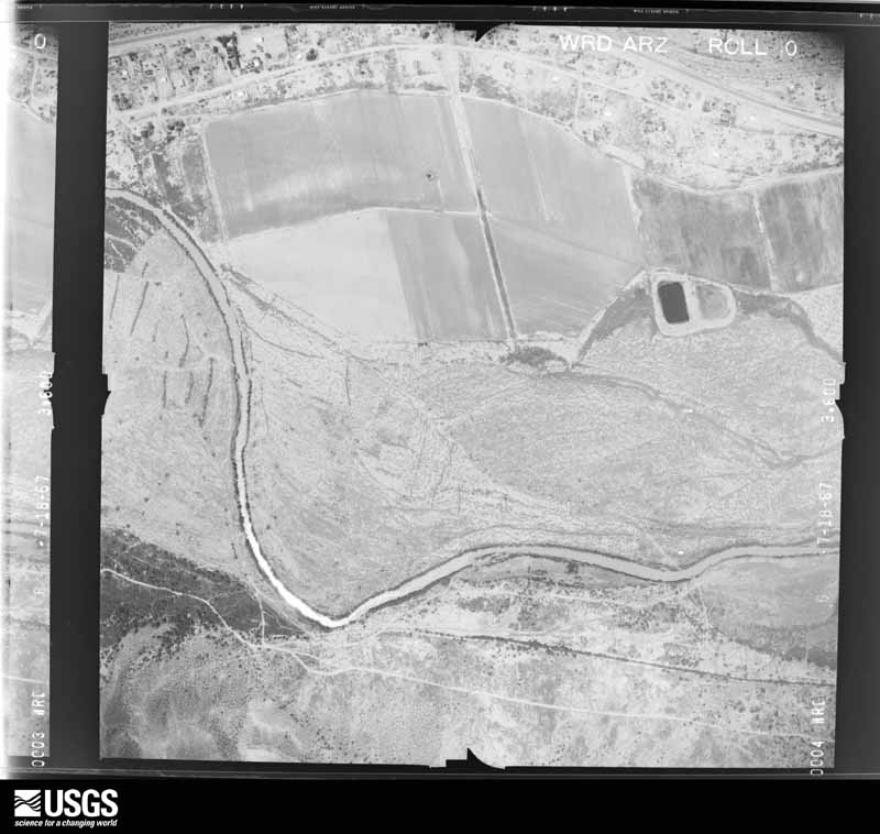
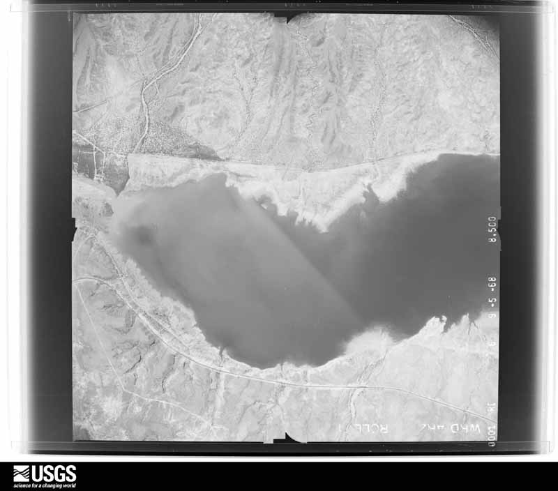
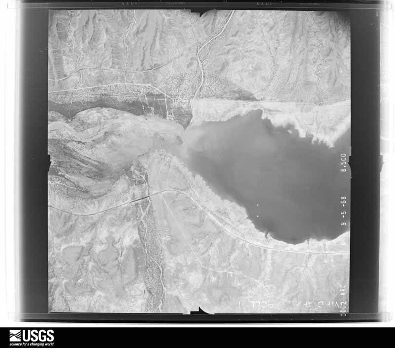
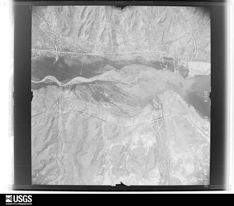
Flown by the U.S. Geological Survey between 1937 and 1989, the Aerial Photo Single Frames collection is the definitive mid-century view of the land: fields, roads and rivers as the camera saw them. The Survey holds 10,234 frames inside the rectangle that bounds this county; the 48 frames below were taken over the county itself, chosen across the decades of flights (at most four a year from that rectangle), so one flight cannot crowd out the rest. The full set is free to browse and download at EarthExplorer under the dataset Aerial Photo Single Frames.
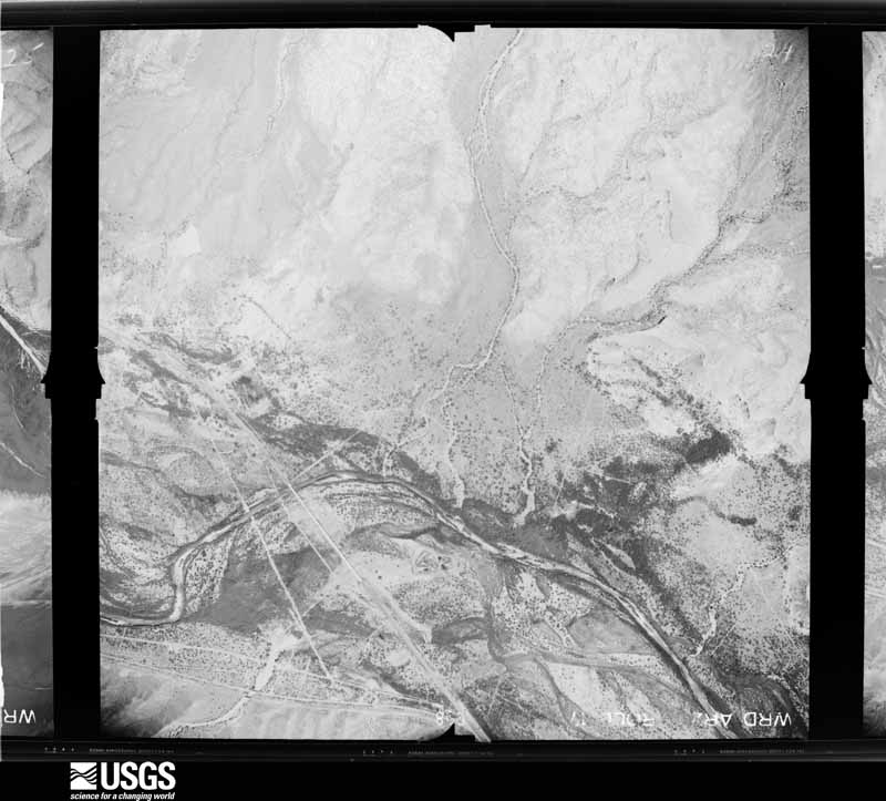
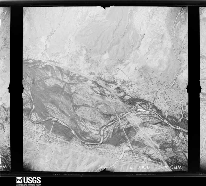
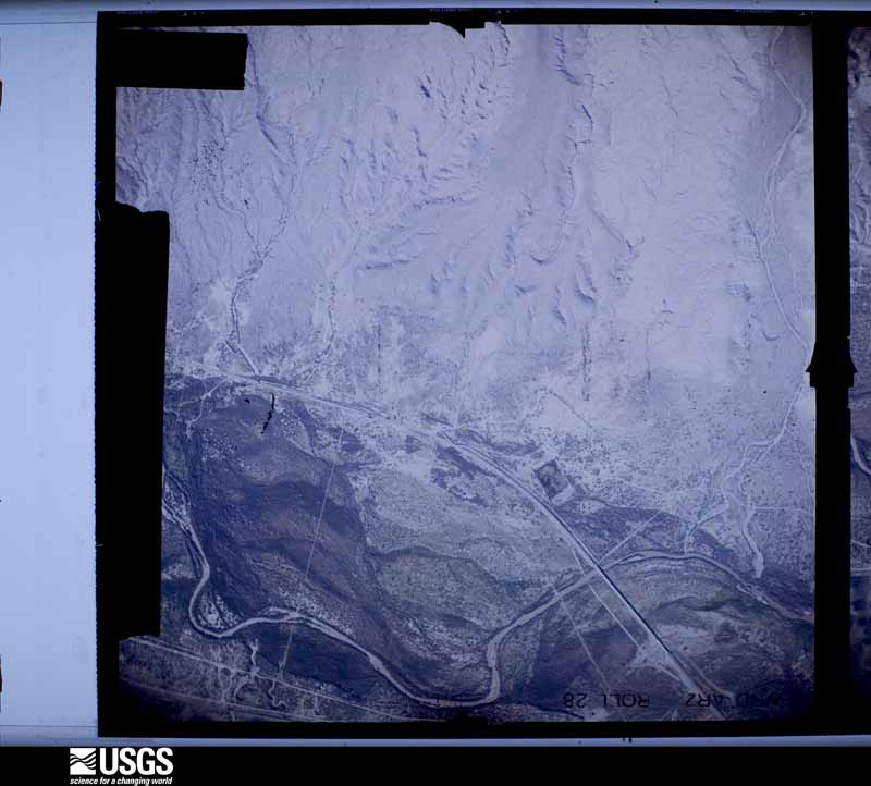
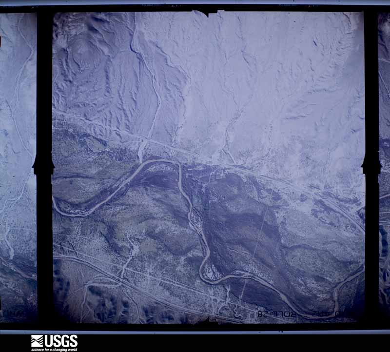
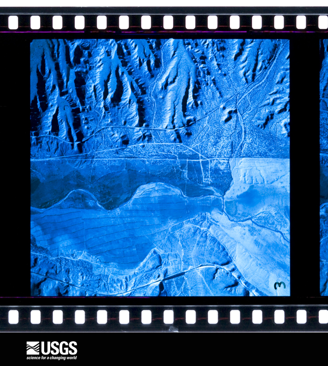
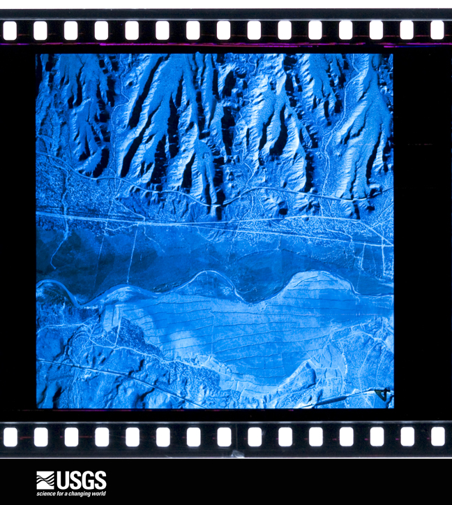
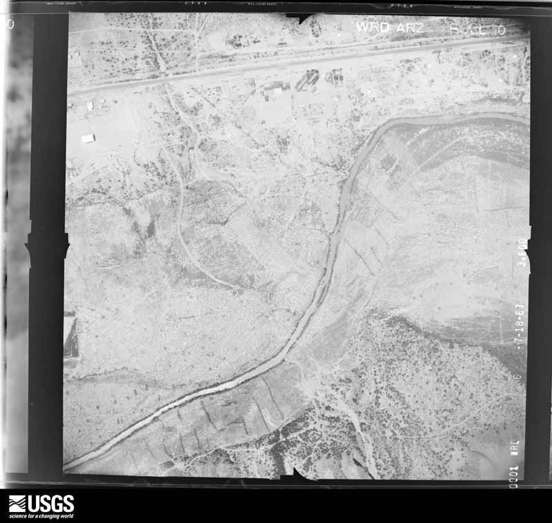
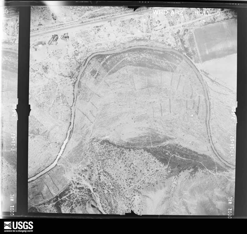
The thermometers that kept this county's weather, and the gages that measured the flow of its streams, as the federal records hold them. The extremes below are measured values from those records, not estimates.
Who lived here in 1950, one enumeration district at a time, as the Census Bureau described each district. Each row opens its official National Archives result, with Population Schedules and ED Maps available there.
Every wildfire the federal occurrence database records inside this county: 4,183 of them, burning about 466,130 acres. 1,294 started naturally and 997 were recorded as arson. Each settlement page carries the fires within five miles of it.
| Reported cause | Fires |
|---|---|
| Natural | 1294 |
| Arson/incendiarism | 997 |
| Missing data/not specified/undetermined | 834 |
| Misuse of fire by a minor | 429 |
| Debris and open burning | 299 |
| Smoking | 113 |
| Recreation and ceremony | 107 |
| Equipment and vehicle use | 66 |
| Fireworks | 31 |
| Power generation/transmission/distribution | 6 |
| Other causes | 4 |
| Railroad operations and maintenance | 2 |
| Firearms and explosives use | 1 |
The five largest, by the area the report gives. One of them was set deliberately.
| Date | Cause | Size | Reported by | Name on the report |
|---|---|---|---|---|
| 19 April 2014 | Natural | 73,682 acres | San Carlos Agency | SKUNK |
| 15 June 1993 | Natural | 35,696 acres | Coronado National Forest | MARKHAM |
| 13 July 2020 | Natural | 29,639 acres | San Carlos Agency | VALLEY |
| 26 June 2004 | Natural | 29,400 acres | Coronado National Forest | NUTTALL |
| 28 June 2012 | Natural | 18,300 acres | Coronado National Forest | GRAPEVINE |
| 16 June 2013 | Natural | 18,076 acres | San Carlos Agency | CREEK |
| 25 June 2019 | Arson/incendiarism | 16,711 acres | San Carlos Agency | GAP |
| 7 June 2013 | Natural | 14,255 acres | San Carlos Agency | FOURMILE |
Every settlement page carries the fires within five miles of it - see the settlement index below.
The NOAA Storm Events Database holds 180 reports for this county, causing 1 death, 1 injury and about $3,561,800 in recorded property damage. Each settlement page carries the reports that name it.
| Kind of event | Reports |
|---|---|
| Thunderstorm Wind | 104 |
| Flash Flood | 49 |
| Hail | 19 |
| Flood | 3 |
| Lightning | 2 |
| Heavy Rain | 1 |
| Tornado | 1 |
| Debris Flow | 1 |
The most serious of them, by death, then injury, then recorded damage. The accounts are quoted exactly as the forecast office filed them.
| When | Event | Place named | Harm | What the report says |
|---|---|---|---|---|
| July 2021 | Flash Flood | Pima | 1 killed, $5,000 | Heavy rain of 2 to 2.5 fell in less than 2 hours between the Pinaleno Mountains and Highway 70 west of Safford. This caused flash flooding of roads in the Pima area and significant rises in Cottonwood Wash. A large SUV which was attempting to cross the wash and carrying two adults and four children was swept away in the floodwaters. A four-year old girl drown during the rescue attempt. Her body was found four days later downstream in the Gila River near Eden. |
| July 2019 | Lightning | Pima | 1 hurt | A child was injured while swimming in Cluff Lake after lightning struck the water. |
| October 2016 | Hail | Safford | $1,500,000 | One inch diameter hail began around 2300 LST as a large thunderstorm moved through Safford. The storm eventually produced hail up to 2.5 inches in diameter. Homes, vehicles and property were damaged throughout Safford and Solomon. Copious amounts of smaller hail fell for 20 minutes in some locations, causing accumulations of up to 6. In many spots, the hail did not melt overnight and was still piled up on roads, sidewalks and yards the following morning. In addition, where hail broke windows, rain and additional hail entered buildings causing water damage. This caused some schools in Safford to remain closed for two weeks until repairs were completed. The hailstorm also wiped out around 4000 acres of cotton crop, with several million dollars of loss estimated. Graham County issued a disaster declaration in the wake of the storm. |
| September 2021 | Thunderstorm Wind | Solomon | $500,000 | Thunderstorm winds caused considerable damage near the junction of Highways 70 and 191 in Safford. Two hotel marquis signs were blown down. A large roof extending to the side of a building near a skate park was damaged and an attached tall block wall also fell. A wall south of this property where an animal shelter was located blew down along with a power line that caused a funeral home's cold storage unit to lose power. Damage extended several blocks south to 15th St. where the roof was peeled off an apartment complex. allowing rain to enter one unit. A few other buildings in Safford sustained moderate roof damage and solid fencing partitions were blown down. Several trees were blown down, some of which caused additional roof damage. causing roof damage. Some other tree/power line damage in other parts of town. A recreational vehicle was flipped on its side 5 miles south of Safford. The ASOS at Safford Municipal Airport measured a gust to 68 mph at 1545MST. |
| September 2018 | Flash Flood | Thatcher | $250,000 | During the late afternoon and evening 1.5-2.5 inches caused flash flooding in Thatcher. Two homes flooded and roads were flooded in Quail Ridge as the drainage canal overflowed. Farther north, several of the dorm rooms at the Eastern Arizona College|Campus, several of the Howards Place apartments on High School Avenue also suffered flood damage. |
| July 2017 | Flash Flood | Artesia | $200,000 | Flash flooding in Ash Canyon from Frye Fire burn scar damaged at least two homes, a chicken barn and an RV, and closed Cluff Ranch Road in several locations. An undisclosed number of people were stranded in the Cluff Pond recreation area and had to be rescued. Damage also occurred to Route 366 near Ladybug Saddle and Wet Canyon from flash flooding off the same burn scar. |
| October 2016 | Flash Flood | Safford | $150,000 | More than two inches of rain accompanied by large hail that piled up to six inches deep in some locations caused flash flooding in Safford. Runoff filled Freeman Wash which caused minor damage to several homes and a school, and washed out part of 12th Avenue. The flood waters temporarily displaced twenty five residents. The school was closed for two weeks until repairs were completed. Flood waters also blocked roadways in rural areas, stranding 8,000 county fair visitors until waters receded. |
| June 2021 | Lightning | Central | $100,000 | Lightning struck a partially constructed home, causing it to burn to the ground. |
| July 2021 | Flash Flood | Eden | $100,000 | Two to four inches of rain in two hours fell over the higher terrain north of Safford and Pima. Flash flooding caused multiple road washouts of Safford-Bryce and Bryce-Eden Rds. |
| June 1997 | Thunderstorm Wind | Safford | $60,000 | A severe thunderstorm that moved through Safford knocked down 6 power poles, blew part of a roof off a house , broke off several large tree limbs, and damaged several other structures. |
| July 2003 | Thunderstorm Wind | Ft Thomas | $60,000 | no account filed |
| July 2009 | Thunderstorm Wind | Safford | $30,000 | A trained spotter reported many trees were downed in the central part of Safford. ASOS measured a 63 mph thunderstorm wind gust at the Safford Regional Airport.|Amateur radio operators reported numerous power poles down near Safford. |
| August 2011 | Thunderstorm Wind | Ft Thomas | $25,000 | Thunderstorm wind gusts over 60 mph resulted in minor damage in Fort Thomas. Several truck trailers were blown through yards resulting in a few outbuildings being destroyed. A tool shed was also severely damaged and a few small trees were downed. |
| August 2005 | Thunderstorm Wind | Safford | $25,000 | Strong winds associated with a thunderstorm in the City of Safford, caused damage to two large observation towers, several trailers, and several vehicles as sheet metal was blown off a roof hitting the cars. |
| June 2021 | Thunderstorm Wind | Central | $20,000 | Thunderstorm winds downed two large trees, one power pole, a barn and a few small sheds in Central. One of the downed trees smashed through a brick wall. Another of the trees downed two power lines which trapped two people in separate vehicles. |
| July 2017 | Flash Flood | Swift Trail Jct | $20,000 | Heavy rain over the Fry Fire burn scar and south of Safford caused Marijilda and Swift Canyons to overflow their banks. A vehicle was swept off of W Concho Street, trapping the driver until rescuers arrived. A second vehicle was completely submerged on Stockton Road. Three teenagers were able to escape from the vehicle. |
| November 2016 | Hail | Central | $20,000 | Large hail damaged several cars and residences in the community of Pima. |
| August 2013 | Thunderstorm Wind | Thatcher | $20,000 | Thunderstorm winds caused minor roof damage to several structures in Thatcher and Pima, and downed four power poles east of Fort Thomas. The wind knocked a travel trailer off its block, which in turn damaged a nearby cinder block wall. |
| January 2010 | Flood | Safford | $20,000 | Graham County law enforcement performed two swift water rescues just south of Safford during the late evening hours of January 21st. Deputies responded at 10:15 PM to a truck caught in a wash on Chastain Lane, just north of Highway 366. Law enforcement rescued the motorist of the truck. There were no injuries, but the truck was fully engulfed by the water. At approximately the same time, law enforcement spotted a van stuck in Stockton Wash, along Stockton Road south of Roper Lake. The occupants of the van exited the vehicle and waded to safety, before the van was washed further down Stockton Wash. |
| August 2000 | Thunderstorm Wind | Ft Thomas | $20,000 | Part of roof blowin off house. |
| July 1997 | Thunderstorm Wind | Safford | $20,000 | Thunderstorm winds blew down several power poles in Safford and the nearby towns of Thatcher and Pima. |
| August 2003 | Thunderstorm Wind | Safford | $20,000 | no account filed |
| July 2021 | Thunderstorm Wind | Safford | $15,000 | Thunderstorm winds downed several trees and power poles in the east part of Safford. |
| June 2016 | Thunderstorm Wind | Solomon | $15,000 | Facebook reports from the public indicated a measured 64 mph wind gust at Safford Ranch. One large tree was uprooted and fell on a vehicle. The Safford Electric Division reported power lines snapped and 3 or 4 poles had to be replaced. A chain linked fence was blown over. |
| November 2016 | Thunderstorm Wind | Central | $15,000 | Thunderstorm winds damaged large tree limbs and a number of roofs in the community of Pima. |
| August 2015 | Thunderstorm Wind | Lone Star | $15,000 | A mesonet station recorded a wind gust to 62 mph in Safford. Thunderstorm winds blew down several power poles and power lines resulting in closures along Highways 191 and 70 between Solomon and Safford. One car suffered damage when power lines fell on it, temporarily trapping the driver. Additionally, damage to a local farmer's cotton crop was reported. |
| August 2008 | Thunderstorm Wind | Safford | $15,000 | Multiple power lines were blown down between Safford and Thatcher. |
| July 2007 | Thunderstorm Wind | Safford | $15,000 | A strong thunderstorm knocked down two power poles in Safford. |
| July 1998 | Thunderstorm Wind | Ft Thomas | $15,000 | Thunderstorm winds blew the roof off a bar and destroyed the north wall. Also a roof was taken off a storage shed and some trees were blown down. |
| August 2002 | Thunderstorm Wind | Safford | $15,000 | no account filed |
| June 2024 | Thunderstorm Wind | Pima | $10,000 | Numerous large trees downed along with a railroad crossing arm damaged due to severe wind gusts in Pima, AZ. |
| June 2021 | Thunderstorm Wind | Dublin | $10,000 | Thunderstorm outflow wind gusts of 50 to 60 mph blew across the Gila River Valley. Several power poles were downed in Pima and south of Safford. A wind gust to 54 mph was measured at the Safford Airport ASOS. |
| July 2021 | Flash Flood | San Jose | $10,000 | A considerable area of more than 2 of rain fell in less than 1 hour east of Haekel Rd. in southeast Graham County. A section of the roadway was washed out by floodwaters near the Artesia Rd turnoff. |
| July 2019 | Thunderstorm Wind | Cactus Flat | $10,000 | Thunderstorm winds knocked down several power poles south of Safford along Lebanon Rd and in Thatcher along Hoopes Ave in Daley Estates. |
| July 2018 | Flash Flood | Ft Grant | $10,000 | One to two inches of rain over the Frye Fire burn scar resulted in flash flooding and damage to Route 366 near Hospital Flat Campground. |
| July 2016 | Thunderstorm Wind | Ft Thomas | $10,000 | Thunderstorm winds pushed a storage container 2 feet, blew the door off the mobile home and blew down a nearby shed. |
| September 2014 | Flash Flood | Solomon | $10,000 | Graham County Sheriff's Office reported 4 homes in Solomon area flooded between 1650 and 1710 LST when a wash came out of its banks. |
| July 2014 | Thunderstorm Wind | Solomon | $10,000 | Thunderstorm wind gusts up to 61 mph were reported at the Safford Airport. At Solomon, the roof of a shed was blown off, damaging nearby vehicles. Localized blowing dust reducing visibilities to less than a quarter mile were reported along Highway 70 near Safford. |
| August 2010 | Flash Flood | Ft Grant | $10,000 | Local law enforcement reported that Highway 191 between Safford and Interstate 10 had been closed due to flooding. At 7:00 pm, a spotter located in southern portions of Safford reported that he had received just over 3 inches of rainfall and that a majority of surrounding roads were impassable due to street flooding. According to Thatcher Police, a few homes near the Eastern Arizona College had water seep into their garages, one apartment suffered water damage, and the back room of a home on Fourth Avenue had water running into it. Also, a home south of Safford reported flood damage, and the Highway Department closed Safford/Bryce Road from Eighth Ave. to Bryce Eden Road due to flooding and debris. A vehicle also stalled in running water on Quattro Cerros Road near the Artesia area south of Safford. Water was running through the vehicle, but two passengers were able to get out. There were also several other reports of washed out roads and drainage problems. |
| August 2008 | Thunderstorm Wind | Hollywood | $10,000 | A trained spotter reported a tree had fallen on a car in Safford. |
| July 2007 | Thunderstorm Wind | Ft Thomas | $10,000 | Three large pine trees were uprooted and power lines were knocked down due to strong winds from thunderstorms. |
| July 2004 | Heavy Rain | Thatcher | $10,000 | Heavy rainfall from several thunderstorms caused the buildup of rain on the roof of a museum in Thatcher. The roof collapsed around 10:30 pm that night. |
| August 2004 | Flash Flood | Safford | $10,000 | Arizona Department of Transportation reported that due to flooding portions of Highway 191 had been damaged and were closed. |
| August 2004 | Flash Flood | Pima | $10,000 | Highway 70, west of the town of Pima, was closed due to flooding of the Matthews wash. Also a swift water rescue was performed when a truck got stuck in the Talley wash near Thatcher. |
| August 2001 | Thunderstorm Wind | Safford Arpt | $10,000 | Damaging winds from a severe thunderstorm ripped off an awning from a mobile home and a large flourescent sign at an automobile dealership in Safford. Several 4 inch diameter tree branches were also broken in the Safford area. The 79 mph peak wind gust was reported at the Safford airport where several shingles were ripped off the two buildings. |
| July 1996 | Thunderstorm Wind | Winkelman | $10,000 | no account filed |
| May 2007 | Thunderstorm Wind | Central | $9,000 | A telephone pole was knocked down due to outflow winds along Highway 70. Numerous tree limbs were also broken from Thatcher to Safford to San Jose on Highway 70. |
| June 2015 | Thunderstorm Wind | Solomon | $8,000 | Thunderstorm winds downed 5 power poles down on the 3500 block of east US-70. A wind gust of 61 mph occurred at the Safford Airport. |
| July 2008 | Thunderstorm Wind | Safford | $7,500 | A power pole was knocked down at 2nd Ave. and Thatcher St. in Safford. |
| August 2018 | Thunderstorm Wind | Safford | $7,000 | Thunderstorm winds downed a tree that fell on a house on 7th Street in Safford and downed a power pole in Thatcher. In Eden, a power line a downed tree pulled down a power line, which set a tree on fire. |
| August 2019 | Flash Flood | Thatcher | $6,000 | One inch of rain in less than an hour caused flash flooding of several roads in the Safford area. One vehicle was swept away near First Avenue in Thatcher. The wash intersecting Lebanon Road and 191 also overflowed. |
| July 2003 | Thunderstorm Wind | Bonita | $6,000 | no account filed |
| July 2021 | Thunderstorm Wind | Calva | $5,000 | Thunderstorm winds downed a tree, which well on a vehicle at Rodeo Lane near Highway 70 in Peridot. |
| August 2018 | Thunderstorm Wind | Solomon | $5,000 | Thunderstorms winds downed power lines and bent several power poles in Solomon. |
| July 2017 | Flash Flood | Ft Grant | $5,000 | Heavy rain falling on the Frye Fire Burn scar caused flooding of the Wet Canyon Campground/Picnic Area. |
| August 2016 | Thunderstorm Wind | Eden | $5,000 | Gusty thunderstorm outflow winds destroyed a metal silo. The winds moved the nearly empty silo about 60 feet. |
| September 2014 | Flash Flood | Glenbar | $5,000 | Graham County dispatch reported that Ash Creek was flowing rapidly which resulted in the closure of Cluff Ranch Rd. Eventually, Ash Creek came out of its banks and began running into a residential area in the town of Pima. At least 1 home was flooded, and 6 people were air lifted out of Ash Canyon due to loss of road access and flooding concerns. No one was injured. |
| August 2004 | Thunderstorm Wind | Safford | $5,000 | A strong thunderstorm produced wind gusts up to 61 knots (70 mph) as is moved from the northeast toward the Safford area. The first severe wind gust occurred at 1605 MST and was 53 knots (61 mph), these strong winds continued being reported by the ASOS at the Safford Airport until 1645 MST. The last severe gust reported at the airport was 52 knots (60 mph). The storms then moved into the city of Safford and downed several power poles, and one large tree by 1648 MST. |
| October 2000 | Flood | Safford | $5,000 | Road closures due to flooding on Sally Bryce Road in Tally wash area. Heavy rain damaged cotton crops and pinto bean fields. |
| September 2019 | Thunderstorm Wind | Bylas | $4,000 | Thunderstorm winds damaged power poles in Bylas. |
The Survey's mineral resources record lists 392 workings inside this county. 25 still produce and 367 are closed or unrecorded. Each settlement page carries the workings within five miles of it.
| Commodity | Workings |
|---|---|
| Copper | 109 |
| Lead | 29 |
| Manganese | 27 |
| Sand and Gravel, Construction | 25 |
| Uranium | 24 |
| Fluorine-Fluorite | 21 |
| Gold, Silver | 18 |
| Gold | 15 |
| Iron | 15 |
| Lead, Zinc | 14 |
| Zeolites | 13 |
| Silver | 11 |
| Barium-Barite | 11 |
| Diatomite | 11 |
The least common of them first, because a county's hundredth gravel pit says nothing its first ten did not.
| Where | Site | Commodity | Status | Recorded |
|---|---|---|---|---|
| Aleman Adit | Lead, Zinc, Copper, Gold, Silver, Uranium, Cadmium | Past Producer | ||
| Apache Claims | Iron, Tin | Prospect | ||
| Aravaipa District | Zinc, Lead, Silver | Past Producer | 1957 | |
| Arizona | Lead, Zinc, Gold, Silver, Iron, Manganese, Silica | Prospect | ||
| Arizona Mine | Silver, Lead, Gold, Quartz | Past Producer | 1895, 1916, 1955 | |
| Arkansas Lead Queen | Copper, Lead, Sand and Gravel, Construction, Cobalt | Unknown | ||
| Barium 1-8 | Barium-Barite, Lead | Occurrence | Vein | |
| Ben Hur | Lead, Silver, Gold, Zinc, Uranium | Past Producer | ||
| Ben Hur Mine | Lead, Zinc, Silver, Gold | Past Producer | Anglesite, Cerussite, Galena | |
| Bitter Spring Prospect | Gold, Silver, Copper, Iron | Occurrence | 1920 | |
| Black Beauty Group | Tungsten, Beryllium, Lithium | Past Producer | 1916, 1955 | |
| Black Rock Group | Manganese, Iron, Copper, Lead, Barium-Barite, Silver | Occurrence | 1939, 1951 | |
| Bluebird Cobalt | Cobalt, Arsenic, Copper, Lead, Nickel, Gold | Past Producer | ||
| Bluebird Mine | Cobalt, Copper | Occurrence | 1935 | |
| Captain Jack Claims | Iron, Gold, Silver, Copper | Occurrence | Replacement | |
| Cobre Grande Mine. | Copper, Lead, Iron, Silver | Past Producer | 1905, 1916, 1957 | |
| Copper Reef Mine | Lead, Copper, Silver, Gold, Barium-Barite, Manganese, Iron, Fluorine-Fluorite | Past Producer | Replacement | |
| Deer Creek Fire Agate Mine | Semiprecious Gemstone | Producer | ||
| Dogwater Mine | Lead, Copper, Molybdenum, Silver | Past Producer | Anglesite, Argentite, Chrysocolla, Galena, Malachite, Plumbojarosite, Wulfenite | |
| Dogwater and Silver Cable | Lead, Copper, Gold, Silver, Zinc | Past Producer | ||
| Dorothy B Claims | Sand and Gravel, Construction, Gold, Iron, Silica | Prospect | ||
| Dos Pobres Mine | Copper, Molybdenum, Gold, Silver | Unknown | 1957 | |
| Flat Tire | Diatomite, Uranium, Zeolites | Past Producer | ||
| Gila Valley Block Co Property | Pumice, Perlite | Unknown | ||
| Grand Reef | Lead, Zinc, Iron, Copper, Gold, Silver, Fluorine-Fluorite, Calcium, Silica, Vanadium | Past Producer | ||
| Grand Reef Mine | Lead, Copper, Silver, Zinc, Gold, Silica, Molybdenum, Fluorine-Fluorite, Barium-Barite | Past Producer | 1890, 1915 | |
| Haigler Claims | Perlite, Pumice, Volcanic Materials, Stone, Crushed/Broken, Aggregate, Light Weight, Zeolites | Past Producer | Pumice | |
| Head Center Mine. | Lead, Zinc, Copper, Silver, Gold, Manganese | Past Producer | Vein | |
| Hwr Claim Group | Copper, Zinc, Lead, Molybdenum | Prospect | ||
| Indian Hot Springs | Water, Free | Unknown | ||
| Iron Reef Prospect | Silver, Zinc, Lead, Copper, Manganese, Gold, Iron | Past Producer | Replacement | |
| Junction Prospect | Lead, Barium-Barite | Occurrence | Vein | |
| King Tut | Uranium, REE, Thorium | Prospect | ||
| Landsman Prospect | Fluorine-Fluorite, Quartz, Barium-Barite, Zinc, Copper, Lead, Silver | Occurrence | Barite, Fluorite, Quartz | |
| Last Chance | Lead, Copper, Gold, Zinc, Silver | Past Producer | ||
| Lead King | Lead, Zinc, Copper, Gold, Uranium, Silver, Cadmium | Past Producer | ||
| Lead King Mine. | Zinc, Silver, Lead, Gold, Copper, Cadmium, Iron | Past Producer | Chalcopyrite, Galena, Malachite, Sphalerite | |
| Little Mule Group | Silver, Barium-Barite, Lead, Fluorine-Fluorite | Past Producer | Vein | |
| Little Mule Group | Copper, Lead, Antimony, Silver, Barium-Barite | Prospect | ||
| Lucky Strike No.1 | Thorium | Prospect | ||
| Marcotte Group | Barium-Barite, Copper, Silver, Gold, Fluorine-Fluorite | Past Producer | 1904 | |
| Mermaid Mining Co Property | Clay, Diatomite, Uranium | Unknown | ||
| Metate Manganese Lease | Manganese, Copper, Silver, Silica, Limestone, General | Prospect | ||
| Mt. Jackson Mine | Fluorine-Fluorite, Silver, Copper, Lead | Past Producer | 1955 | |
| Mt. Jackson Mine | Fluorine-Fluorite, Copper, Lead, Silver | Past Producer | ||
| No. 1 Mine | Lead, Silica | Past Producer | 1916 | |
| Number One | Lead, Manganese, Silica | Past Producer | ||
| Orejana | Fluorine-Fluorite, Lead, Zinc, Copper | Prospect | ||
| Orejana Mine | Lead, Copper, Fluorine-Fluorite, Quartz | Prospect | 1900 | |
| Peloncillo Mountains | Gemstone, Semiprecious Gemstone, Quartz | Past Producer | Agate, Chalcedony | |
| Penny Fire Agate | Silica, Gemstone, Semiprecious Gemstone | Producer | ||
| Princess Pat | Zinc, Copper, Gold, Stone, Vanadium | Past Producer | ||
| Princess Pat Mine. | Copper, Zinc, Lead | Past Producer | 1925 | |
| Prospect | Copper, Semiprecious Gemstone | Prospect | ||
| Pumice | Stone, Pumice, Aggregate, Light Weight, Perlite | Past Producer | ||
| Quartzite Mountain | Garnet, Gemstone | Past Producer | Andradite, Garnet | |
| Quartzite Mtn Garnets | Garnet | Occurrence | ||
| Red Crystal | Gold, Lead, Silver, Vanadium, Zinc, Copper | Prospect | ||
| Safford Deposit | Copper, Molybdenum, Zinc, Lead, Silver, Gold | Past Producer | 1899 | |
| Safford Mine | Copper, Gold, Silver, Molybdenum | Producer | 2006 | |
| Safford Well | Halite, Bromine | Occurrence | Brine, Halite | |
| Sam Jones Prospect. | Copper, Silver, Gold | Past Producer | 1902, 1945 | |
| San Carlos Iron | Iron, Silver, Zinc, Gold, Copper | Prospect | ||
| San Carlos River Deposit | Phosphorus-Phosphates, Nitrogen-Nitrates | Past Producer | Underground | |
| Sanchez Copper Deposit | Copper, Gold, Silver, Molybdenum | Past Producer | 1899 | |
| Silver Coin | Lead, Copper, Gold, Silver, Molybdenum, Vanadium | Past Producer | ||
| Silver Coin Mine | Lead, Molybdenum, Silver | Past Producer | Anglesite, Galena, Plumbojarosite, Wulfenite | |
| Silver Spar Prospect | Copper, Silver, Lead, Antimony | Past Producer | 1950 | |
| Sinn Fein Mine | Lead, Zinc, Silver, Gold, Copper, Molybdenum | Past Producer | Anglesite, Chrysocolla, Galena, Malachite, Pyrite, Sphalerite, Wulfenite | |
| Starlight | Copper, Lead, Gold, Silver, Zinc, Antimony | Past Producer | ||
| Starlight Mine | Copper, Silver, Lead, Gold | Past Producer | 1886, 1906, 1969 | |
| Table Mountain | Vanadium, Copper, Lead, Zinc | Prospect | ||
| Table Mountain Mine | Vanadium, Lead, Zinc, Copper | Occurrence | ||
| Tenstrike | Lead, Copper, Gold, Silver, Silica, Vanadium | Past Producer | ||
| Tenstrike Mine | Lead, Zinc, Copper, Quartz | Past Producer | 1916, 1954 | |
| Tolman-Babcock Group | Copper, Silver, Gold, Lead | Past Producer | Underground | |
| Tule Mine | Zinc, Lead, Copper, Silver | Past Producer | ||
| Two Car Golondrina | Copper, Uranium, Lead | Past Producer | ||
| Unknown Claim | Sulfur-Pyrite | Unknown | ||
| Unnamed Prospect | Copper, Iron | Occurrence | Replacement | |
| Venture Group | Copper, Water, Free, Silver, Vanadium | Prospect | ||
| W.A.Ranch Claims | Nickel, Tin, Thorium, Silver | Prospect | ||
| White Bluffs Uranium | Bentonite, Diatomite, Uranium | Prospect | ||
| Whitlock Deposit | Diatomite, Uranium, Zeolites | Prospect | LACUSTRINE SEDIMENTARY, BIOGENIC | |
| Windsor Mine | Lead, Silver, Copper | Occurrence | Anglesite, Cerargyrite, Chalcocite, Galena, Malachite | |
| Windsor Mine | Lead, Cadmium, Copper, Gold, Silver | Past Producer | ||
| Abe Reed Mine | Lead, Zinc, Silver, Copper, Gold | Past Producer | 1925, 1947, 1951 | |
| Bitter Spring Prospect | Iron, Copper, Fluorine-Fluorite, Uranium | Prospect | ||
| Booker T. Washington Claim | Lead, Molybdenum, Copper | Occurrence | Chrysocolla, Galena, Malachite, Wulfenite | |
| Bullis - Sandsman Group | Lead, Zinc, Silver | Past Producer | Anglesite, Galena | |
| Captain Jack | Iron, Silver, Copper, Gold | Prospect | ||
| Cold Spring Prospect | Zinc, Copper, Antimony | Occurrence | Replacement | |
| Copper Reef | Copper, Gold, Lead, Silver, Barium-Barite, Fluorine-Fluorite | Past Producer | ||
| Crazy Horse | Fluorine-Fluorite, Uranium, Copper | Unknown | ||
| Davis Claims | Copper, Manganese, Iron | Unknown | ||
| Fairview Prospect | Lead, Gold, Silver, Molybdenum, Copper | Past Producer | Anglesite, Chrysocolla, Wulfenite | |
| Fisher Prospect | Copper, Gold, Lead, Silver | Prospect | ||
| Gila Mountains Perlite Occurrence | Perlite | Occurrence | ||
| Gila Valley Block Co. | Pumice, Volcanic Materials | Past Producer | Cinders, Pumice | |
| Grand Central Mine. | Lead, Zinc, Silver | Past Producer | 1925 | |
| Haigler Pumice | Pumice, Volcanic Materials | Occurrence | Pumice | |
| Ionia Claim | Lead, Copper, Zinc, Molybdenum | Occurrence | Replacement | |
| Iron Cap Mine | Lead, Zinc, Silver, Copper, Gold, Fluorine-Fluorite | Past Producer | Vein | |
| Mt Graham Well | Geothermal | Unknown | ||
| Pumice No.2 | Pumice, Perlite | Producer | ||
| Rhoades-Mathews | Bentonite | Prospect | ||
| Rhodes-Mathews | Bentonite | Occurrence | ||
| Santa Teresa | Lead, Zinc, Copper | Past Producer | ||
| Snowrock Claims | Mica | Prospect | ||
| Terra Firma | Aluminum, Gold | Prospect | ||
| Terra Firma Prospect | Aluminum | Occurrence | Vein | |
| Twilight and Grey Claims | Beryllium, Mica | Occurrence | Beryl, Mica | |
| Unnamed Spring | Geothermal | Unknown | ||
| Almino Prospect | Manganese, Tungsten | Occurrence | Psilomelane | |
| Asbestos Deposit 23 | Asbestos | Prospect | ||
| Asbestos Prospect 20 | Asbestos | Prospect | ||
| Ash Peak | Asbestos | Occurrence | Metamorphic | |
| Brewer Tungsten Group | Tungsten, Gold, Copper | Prospect | ||
| Bush Claim | Manganese, Tungsten | Occurrence | Psilomelane | |
| Bush Claim | Manganese, Tungsten | Prospect | ||
| Cobre Grande | Zinc, Copper, Lead | Past Producer | ||
| Cobre Grande Mine | Copper, Zinc | Past Producer | ||
| Cocreham Beryllium | Beryllium, Silver | Past Producer | ||
| Copper Chief | Gold, Copper, Silver, Barium-Barite | Past Producer | ||
| Geronimo Prospect | Gold, Copper | Occurrence | 1920 | |
| Gold Bug Tunnel 22 | Copper, Gold | Occurrence | Vein | |
| Morning Star | Copper, Gold, Silver | Past Producer | ||
| Twilight and Grey Groups | Beryllium | Past Producer | ||
| Aravaipa | Lead, Zinc, Silver, Copper, Vanadium | Past Producer | ||
| Barium King 1 Thru 4 | Barium-Barite, Fluorine-Fluorite | Occurrence | ||
| Cinder Pit | Pumice | Unknown | ||
| Claypit | Clay | Past Producer | ||
| Claypit | Clay | Past Producer | ||
| Coronado Group | Barium-Barite, Fluorine-Fluorite | Past Producer | ||
| Haigler Pumice | Pumice | Producer | ||
| La Clede Mine | Silver, Copper | Past Producer | Chrysocolla, Malachite, Silver | |
| Mitchell Barite Prospect | Barium-Barite, Fluorine-Fluorite | Occurrence | Vein | |
| Pumice No. 2 | Pumice | Past Producer | Pumice | |
| Rawhide Mtn Prospects | Silver, Copper, Iron, Barium-Barite | Prospect | ||
| San Juan Mine | Copper, Gold, Silver, Molybdenum | Past Producer | Hydrothermal Stockwork | |
| Tribal Claims | Gold, Silver, Copper | Occurrence | 1920 | |
| Unnamed Clay Occurrence | Clay | Occurrence | ||
| Unnamed Clay Pits | Clay | Past Producer | ||
| Unnamed Prospect | Lead, Copper, Molybdenum | Prospect | Chalcocite, Chalcopyrite, Chrysocolla, Galena, Malachite, Wulfenite | |
| 9 | Lead, Copper, Gold, Silver | Occurrence | Chalcopyrite, Galena | |
| Barton Property | Tungsten | Prospect | ||
| Black Beauty | Tungsten | Past Producer | ||
| Black Beauty Prospect | Tungsten | Past Producer | 1955 | |
| Copper Bar Prospect. | Copper, Silver, Gold, Iron | Past Producer | 1902 | |
| Long Tom | Silver, Gold | Past Producer | ||
| Marcotte Barite | Barium-Barite, Silver, Gold, Fluorine-Fluorite | Prospect | ||
| Quinn | Lead, Vanadium | Past Producer | ||
| Tribal Claim | Copper, Silver, Gold | Prospect | ||
| Powers Mine | Gold, Copper, Silver | Past Producer | 1908 | |
| Southland Copper Claims | Gold, Copper, Silver | Prospect | ||
| Steeple Rock | Gold, Copper, Silver | Unknown | ||
| Thumper 1,2,3 | Copper, Silver | Prospect | ||
| Abe Reed | Lead, Zinc, Copper, Gold, Silver | Past Producer | ||
| Brittle Rock | Copper, Gold, Silver | Prospect | ||
| Head Center | Lead, Zinc, Copper, Gold, Silver | Past Producer | ||
| Iron Cap | Lead, Zinc, Copper, Gold, Silver, Fluorine-Fluorite | Past Producer | ||
| Jackson Mine | Copper, Gold, Silver | Past Producer | ||
| Sixteen To One | Copper, Gold, Silver | Past Producer | ||
| 8 | Copper, Lead, Gold, Silver | Occurrence | Chalcopyrite, Galena | |
| Lindsey Gold-Silver Group | Gold, Silver, Copper, Lead | Prospect | ||
| Parks Brothers Prospect | Copper, Lead | Prospect | ||
| Sinn Fein | Copper, Lead, Gold, Silver | Past Producer | ||
| Tule Claims | Copper, Lead | Prospect | ||
| Barium 1-8 | Barium-Barite, Fluorine-Fluorite | Prospect | ||
| Barium King Group | Barium-Barite, Fluorine-Fluorite | Occurrence | Vein | |
| Copper Belle | Copper, Silver | Past Producer | ||
| Diatomite Occurrence | Diatomite | Occurrence | Diatomite | |
| Flat Tire | Zeolites, Diatomite | Occurrence | Diatomite | |
| Graham Claim | Barium-Barite, Fluorine-Fluorite | Prospect | ||
| Graham Prospect | Barium-Barite, Fluorine-Fluorite | Occurrence | 1955 | |
| Graham Prospect | Barium-Barite | Prospect | ||
| Grand Central | Lead, Zinc, Silver | Past Producer | ||
| Laclede Mine | Copper, Silver | Past Producer | ||
| Mitchell Barite Prospect | Barium-Barite, Fluorine-Fluorite | Prospect | ||
| San Carlos Deposits | Diatomite | Occurrence | Diatomite | |
| San Carlos Deposits | Diatomite | Occurrence | ||
| Skeleton Wash | Diatomite | Occurrence | 1950 | |
| Solomon Deposit | Diatomite | Occurrence | Diatomite | |
| Solomon Deposit | Diatomite | Prospect | ||
| Stanley | Lead, Silver, Barium-Barite | Prospect | ||
| Triplets Wash | Diatomite | Occurrence | Diatomite | |
| Whitlock Deposit | Diatomite | Prospect | ||
| Whitlock Mines Inc | Diatomite | Prospect | ||
| Bms Claims | Zeolites | Producer | Chabazite | |
| Bms Mine | Zeolites | Producer | Chabazite | |
| Cholla Claims | Zeolites | Producer | Chabazite | |
| Exposed Rhyolite Dike | Zeolites | Occurrence | Clinoptilolite | |
| Exposed Rhyolitic Dike | Zeolites, Uranium | Occurrence | ||
| Ez Mine | Zeolites | Producer | Chabazite | |
| Ez Mines | Zeolites | Prospect | ||
| Nrg Mining Co. Claims | Zeolites | Occurrence | Analcime, Chabazite, Clinoptilolite, Erionite | |
| San Simon Zeolite Deposits | Zeolites | Occurrence | Analcime, Chabazite, Clinoptilolite | |
| San Simon Zeolite Deposits | Zeolites | Prospect | ||
| Unpatented Claims-Cholla | Zeolites | Prospect | ||
| Dos Amigos | Lead, Zinc, Gold, Silver | Past Producer | ||
| Junction Prospect | Lead, Zinc, Copper | Occurrence | ||
| Panama Mine. | Lead, Zinc | Prospect | Vein | |
| Unnamed Prospect. | Lead, Zinc | Occurrence | ||
| Unnamed Prospect. | Lead, Zinc | Occurrence | Galena, Sphalerite | |
| Adits and Shaft | Gold | Prospect | ||
| Black Iron | Iron, Copper | Past Producer | ||
| Bluff No 1 Claim | Iron | Prospect | ||
| Copper Dike | Iron | Prospect | ||
| Fluorite Claims | Fluorine-Fluorite, Iron | Occurrence | Fluorite, Hematite, Limonite | |
| Gila River Placers | Gold | Producer | Placer | |
| Gold Mountain Mine | Gold, Iron | Past Producer | Gold, Hematite, Pyrite | |
| Gold Mtn | Gold | Past Producer | ||
| Hinton Mine | Iron | Past Producer | ||
| Hot Rock Claims | Iron | Prospect | ||
| Jumping Jack | Iron | Producer | Magnetite | |
| Name Unknown | Gold | Occurrence | Vein | |
| Red Mountain | Gold | Prospect | ||
| Unnamed Adit/Trench | Gold, Lead | Prospect | ||
| Ben Hur | Copper, Gold, Silver | Past Producer | ||
| Bunny Group | Manganese, Gold, Silver | Past Producer | ||
| Copper Bar Shaft and Adit | Copper, Gold, Silver | Past Producer | ||
| Copper Basin | Copper, Gold, Silver | Unknown | ||
| Horseshoe Mine | Copper, Gold, Silver | Past Producer | 1904, 1966 | |
| Long Tom Mine | Gold, Silver | Past Producer | Pyrite | |
| Powers | Gold, Silver | Past Producer | ||
| President | Gold, Silver | Prospect | ||
| Sam Jones Prospect | Copper, Gold, Silver | Producer | ||
| Unnamed Adit | Gold, Silver | Prospect | ||
| Coronado | Fluorine-Fluorite | Occurrence | ||
| Crazy Horse | Fluorine-Fluorite | Occurrence | Fluorite | |
| Edith Property | Fluorine-Fluorite | Occurrence | ||
| Fluorite Claims | Fluorine-Fluorite | Prospect | ||
| Graham Prospect | Fluorine-Fluorite | Occurrence | ||
| Marcotte | Fluorine-Fluorite | Occurrence | ||
| Spar Flourite Group | Fluorine-Fluorite | Past Producer | ||
| Spar Mine | Fluorine-Fluorite | Past Producer | Fluorite | |
| Stony Peak Prospect | Uranium, Fluorine-Fluorite | Past Producer | Uranophane | |
| Athabaska Claims | Uranium | Prospect | ||
| Best Claim | Uranium | Prospect | ||
| Blue Bird Claims | Uranium | Prospect | ||
| Brushy Claims | Uranium | Prospect | ||
| Canuk Group | Uranium | Occurrence | Carnotite | |
| Crunk Group | Uranium | Prospect | ||
| Crystal Claims | Uranium | Prospect | ||
| Denny Claims | Uranium | Prospect | ||
| Flat Tire Group | Uranium | Occurrence | Carnotite | |
| Golondrina Prospect | Uranium, Copper, Lead | Occurrence | Chalcocite, Chalcopyrite, Malachite, Pyromorphite | |
| Last Chance Prospect | Uranium | Occurrence | Carnotite | |
| Last Chance Prospect | Uranium | Prospect | ||
| Moss Claims | Uranium | Prospect | ||
| Pluto Group | Uranium | Occurrence | Carnotite | |
| Royal John Group | Uranium | Prospect | ||
| Royal John Prospect | Uranium | Occurrence | Carnotite | |
| S and W Claim | Uranium | Prospect | ||
| Stony Peak Group | Uranium | Past Producer | ||
| Uranium Deposit | Uranium | Unknown | ||
| Uranium Deposit | Uranium | Prospect | ||
| ADOT Gravel Pit | Sand and Gravel, Construction | Producer | ||
| ADOT Gravel Pits | Sand and Gravel, Construction | Producer | ||
| Airport Pit | Sand and Gravel, Construction | Producer | ||
| Borrow Pit | Sand and Gravel, Construction | Producer | ||
| Graham County Crusher | Sand and Gravel, Construction | Unknown | ||
| Gravel Pit | Sand and Gravel, Construction | Past Producer | ||
| Gravel Pit | Sand and Gravel, Construction | Producer | ||
| Gravel Pit | Sand and Gravel, Construction | Producer | ||
| Gravel Pit | Sand and Gravel, Construction | Unknown | ||
| Gravel Pit | Sand and Gravel, Construction | Past Producer | ||
| Gravel Pit | Sand and Gravel, Construction | Producer | ||
| Gravel Pit | Sand and Gravel, Construction | Unknown | ||
| Gravel Pit | Sand and Gravel, Construction | Producer | ||
| Gravel Pit | Sand and Gravel, Construction | Producer | ||
| Gravel Pit | Sand and Gravel, Construction | Unknown | ||
| Gravel Pit | Sand and Gravel, Construction | Past Producer | ||
| Gravel Pit | Sand and Gravel, Construction | Past Producer | ||
| Gravel Pit | Sand and Gravel, Construction | Producer | ||
| Gravel Pit | Sand and Gravel, Construction | Past Producer | ||
| Gravel Pits | Sand and Gravel, Construction | Past Producer | ||
| Gravel Pits | Sand and Gravel, Construction | Unknown | ||
| Morris Sand and Gravel | Sand and Gravel, Construction | Past Producer | ||
| Pit No. 1 Morris | Sand and Gravel, Construction | Producer | ||
| Pit No.1 Ray Hatch | Sand and Gravel, Construction | Producer | ||
| A-1 Group | Manganese | Past Producer | ||
| Black Beauty Group | Manganese | Past Producer | 1952 | |
| Black Hawk Group | Manganese | Past Producer | 1951 | |
| Black Hawk Group | Manganese | Past Producer | 1951 | |
| Black Hawk Prospect | Manganese | Past Producer | ||
| Black Rock | Manganese | Occurrence | 1939 | |
| Black Rock Group | Manganese | Past Producer | Psilomelane, Pyrolusite | |
| Black Rock Vickers | Manganese | Past Producer | 1952 | |
| Crow Claims | Manganese | Past Producer | 1951 | |
| Graham County Mn Deposits | Manganese | Past Producer | 1917 | |
| Junction Claim | Manganese | Prospect | 1953 | |
| Junction Cutoff | Manganese | Prospect | ||
| Junction and Shamrock Claims | Manganese | Occurrence | Psilomelane | |
| Prospect Property | Manganese | Prospect | ||
| Salt Creek | Manganese | Prospect | ||
| San Carlos Indian Res. Deposit | Manganese | Unknown | ||
| San Carlos Indian Reservation | Manganese | Prospect | 1958 | |
| Shamrock | Manganese | Prospect | 1954 | |
| Shamrock Shaft | Manganese | Prospect | ||
| Unnamed Prospects | Manganese, Copper | Past Producer | Psilomelane, Pyrolusite, Wad | |
| Vickers | Manganese | Past Producer | ||
| Voelckel Claims | Manganese | Occurrence | Manganite, Psilomelane | |
| Voelckel Claims | Manganese | Unknown | ||
| Babcock Claim | Lead | Prospect | ||
| Cold Spring Prospect | Lead, Copper | Prospect | ||
| Last Chance Mine. | Lead | Past Producer | 1942, 1948 | |
| Panama | Lead | Past Producer | ||
| Shaft | Lead | Prospect | ||
| Silver Reef Claim. | Lead | Occurrence | Galena | |
| Tule Mine | Lead | Occurrence | Galena | |
| Unnamed Prospect. | Lead | Past Producer | Vein | |
| Abeyta Properties | Copper | Prospect | ||
| Adit | Copper | Prospect | ||
| Adit | Copper | Unknown | ||
| Adit | Copper | Occurrence | ||
| Adit and Trench | Copper | Prospect | ||
| America | Copper | Prospect | ||
| Battle Mtn Group | Copper | Prospect | ||
| Bear Springs Claims | Copper | Prospect | ||
| Ben Hur | Copper | Occurrence | Vein | |
| Blue Star Claims | Copper | Prospect | ||
| Bold Claims | Copper | Prospect | ||
| Buena Suerte Claim | Copper | Occurrence | Chrysocolla | |
| Buena Suerte Claims | Copper | Prospect | ||
| Claridge Property | Copper | Prospect | ||
| Cobre Claims | Copper | Prospect | ||
| Copper Crank | Copper | Unknown | ||
| Copper Dike Group | Copper | Occurrence | ||
| Copper Hill Prospect | Copper | Prospect | ||
| Copper Hill Prospect. | Copper | Occurrence | Chrysocolla, Malachite, Tenorite | |
| Copper Prospect | Copper | Prospect | ||
| Dixie Claims | Copper | Prospect | ||
| Essex Mining Co Claims | Copper | Prospect | ||
| Fisher Prospect | Copper | Occurrence | Chalcocite, Chalcopyrite, Chrysocolla, Covellite | |
| Freeport Exploration | Copper | Prospect | ||
| Friend Mine | Copper | Past Producer | 1917, 1982 | |
| Friend Mine | Copper | Past Producer | ||
| Green Copper | Copper | Prospect | ||
| High Noon Group | Copper | Prospect | ||
| Iron Hill Lode #1 | Copper | Prospect | ||
| Jet Group | Copper | Prospect | ||
| Lone Star | Copper | Past Producer | 1950 | |
| Mardi Gras Claims | Copper | Prospect | ||
| Mary Claims | Copper | Prospect | ||
| Mission No. 1 Claim | Copper | Occurrence | 1957 | |
| Mission No. 4 Prospect. | Copper | Occurrence | 1957 | |
| Mission Number 4 Prospect | Copper | Prospect | ||
| Mule Group 1-10 | Copper | Prospect | ||
| Name Unknown | Copper | Occurrence | Vein | |
| Norman Property | Copper | Prospect | ||
| Oregon Group | Copper | Unknown | ||
| Peck Claims | Copper | Prospect | ||
| Phelps Dodge Safford Project | Copper | Producer | ||
| Poteet Claims | Copper | Prospect | ||
| Prospect | Copper | Prospect | ||
| Prospect | Copper | Prospect | ||
| Prospect | Copper | Prospect | ||
| Prospect | Copper | Prospect | ||
| Sara Claims | Copper | Prospect | ||
| Shaft | Copper | Occurrence | ||
| Sol | Copper | Unknown | ||
| Sol Mine | Copper | Occurrence | Chalcopyrite | |
| Soldier Prospect | Copper | Occurrence | Replacement | |
| Soldier Prospect | Copper | Prospect | ||
| Tee Claims | Copper | Prospect | ||
| Towne Mines Property | Copper | Prospect | ||
| Unnamed Prospect | Copper | Occurrence | Chrysocolla, Malachite | |
| Unnamed Prospect | Copper | Occurrence | Chrysocolla, Malachite | |
| Unnamed Prospect | Copper | Occurrence | Chrysocolla, Malachite | |
| Unnamed Prospect | Copper | Occurrence | Chrysocolla, Malachite | |
| Unnamed Prospect | Copper | Occurrence | Chrysocolla, Malachite | |
| Unnamed Prospect | Copper | Occurrence | Vein | |
| Unnamed Prospect | Copper | Occurrence | Chrysocolla | |
| Unnamed Prospect | Copper | Occurrence | Chrysocolla | |
| Unnamed Prospect | Copper | Occurrence | Vein | |
| Unnamed Prospect | Copper | Occurrence | Chrysocolla, Malachite | |
| Unnamed Prospect | Copper | Occurrence | Underground | |
| Unnamed Prospect | Copper | Occurrence | ||
| Unnamed Prospect | Copper | Occurrence | Chrysocolla, Dioptase, Malachite | |
| Unnamed Prospect. | Copper | Occurrence | Chrysocolla | |
| Unnamed Prospect. | Copper | Occurrence | Vein | |
| Unnamed Prospect. | Copper | Occurrence | Chrysocolla, Malachite | |
| Unnamed Prospect. | Copper | Occurrence | Chrysocolla, Malachite | |
| Unnamed Prospect. | Copper | Occurrence | Underground | |
| Unnamed Prospect. | Copper | Occurrence | Chalcopyrite, Malachite | |
| Unnamed Prospect. | Copper | Occurrence | ||
| Unnamed Prospect. | Copper | Occurrence | Chrysocolla, Malachite | |
| Walnut Group | Copper | Past Producer | ||
| Wheelbarrow Claim | Copper | Prospect | ||
| Wheelbarrow No. 5 Claim | Copper | Occurrence | Chrysocolla, Malachite | |
| Wolf | Copper | Past Producer |
Named settlements recorded in the Geographic Names Information System, each with the topographic sheets covering it. Villages, hamlets and abandoned places alike. Each is shown with the nearest named watercourse or landform and the survey quadrangle it falls on. The 3 places that were also surveyed for fire insurance come first, with the number of atlases and photographs held for them.
Safford census division · 85546 · On Wilson Wash · Safford quadrangle
14 sheets, 1954 to 1998
Fire insurance: 5 atlases
Safford census division · 85552 · On Frye Creek · Thatcher quadrangle
13 sheets, 1954 to 1997
Fire insurance: 2 atlases
Bonita-Klondyke census division · 85643 · Near Williamson Canyon · Cobre Grande Mountain quadrangle
18 sheets, 1938 to 1998
Pima census division · 85543 · On Hot Springs Wash · Eden quadrangle
11 sheets, 1954 to 1994
Bonita-Klondyke census division · 85643 · On Goudy Canyon Wash · Fort Grant quadrangle
14 sheets, 1942 to 1996
Safford census division · 85546 · Near Head Canyon · San Jose quadrangle
12 sheets, 1954 to 1994
Safford census division · 85546 · On Swift Canyon Wash · Safford quadrangle
14 sheets, 1954 to 1998
San Carlos census division · 85530 · On Fivemile Wash · Calva quadrangle
13 sheets, 1954 to 1989
Safford census division · 85531 · On Central Wash · Thatcher quadrangle
13 sheets, 1954 to 1997
Safford census division · Near Sands Draw · Martin Well quadrangle
16 sheets, 1917 to 1994
San Carlos census division · 85530 · Mount Turnbull quadrangle
14 sheets, 1954 to 1998
No longer a settlement
Pima census division · 85536 · On Black Rock Wash · Fort Thomas quadrangle
11 sheets, 1954 to 1989
Pima census division · 85536 · On Carland Wash · Geronimo quadrangle
13 sheets, 1954 to 1989
Safford census division · 85546 · On Talley Wash · Weber Peak quadrangle
12 sheets, 1954 to 1994
Safford census division · 85551 · On San Jose Wash · San Jose quadrangle
12 sheets, 1954 to 1994
Safford census division · 85546 · On Dry Lake Wash · Safford quadrangle
14 sheets, 1954 to 1998
Pima census division · 85543 · Near Wide Hollow · Eden quadrangle
11 sheets, 1954 to 1994
Bonita-Klondyke census division · 85643 · Near Fourmile Canyon · Klondyke quadrangle
21 sheets, 1938 to 1998
Safford census division · 85546 · On Swift Canyon Wash · Artesia quadrangle
11 sheets, 1954 to 1996
Safford census division · 85546 · On Stockton Wash · Safford quadrangle
14 sheets, 1954 to 1998
San Carlos census division · 85530 · On Salt Creek · Dewey Flat quadrangle
14 sheets, 1954 to 1989
Safford census division · 85546 · Near Webb Peak · Webb Peak quadrangle
17 sheets, 1942 to 1996
Safford census division · 85546 · On San Jose Wash · San Jose quadrangle
12 sheets, 1954 to 1994
Safford census division · 85546 · On Yuma Wash · San Jose quadrangle
12 sheets, 1954 to 1994
Safford census division · 85546 · Near Judia Canyon · Safford quadrangle
14 sheets, 1954 to 1998
Bonita-Klondyke census division · 85643 · Near Copeland Draw · Harrison Canyon quadrangle
19 sheets, 1940 to 1996
Safford census division · 85546 · On Swift Canyon Wash · Artesia quadrangle
11 sheets, 1954 to 1996
Safford census division · 85546 · Near Ladybug Peak · Mount Graham quadrangle
16 sheets, 1942 to 1996
The vanished settlements of Graham County: the places named above that are no longer on the map.
14 topographic sheets and 5 fire insurance atlases, 1901 to 1941
0 topographic sheets and 3 fire insurance atlases, 1901 to 1940
13 topographic sheets and 2 fire insurance atlases, 1915 to 1940
The complete index, with nothing left out. Each of these is a separate record with its own page: a federal survey report, or the case file that argued a property on to the National Register. Both are public domain and reproduced word for word.
The vanished settlements of Graham County, the places these records name that are no longer on the map.