 Block
Tolleson, Arizona
23 topographic sheets cover this place, the earliest surveyed in 1946 and the latest in 1981. It stands in the Phoenix census division. It lies in ZIP code area 85353. The Survey maps it on the Tolleson quadrangle. 7,216 people lived here at the 2020 count. It stands 1,014 feet above sea level.
Population over time
2 figuresTolleson grew from 6,545 to 7,216 between 2010 and 2020. These are the recorded population figures Wikidata holds for this place, reached through the Geographic Names Information System number this page is keyed on rather than by name, so they belong to this place and not to another of the same name. Most are census counts, but not all are: an early figure may be a founding or settlement estimate, and an estimate published within five years of a census is left out. The change column is computed, and is left blank where more than 20 years separate a figure from the one before it, because a gap that long is not a change between two counts.
| Year | People | Change |
|---|---|---|
| 2010 | 6,545 | |
| 2020 | 7,216 | +671 (+10%) |
Topographic sheets covering this place
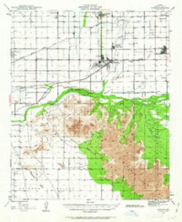
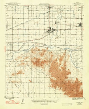
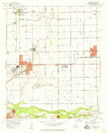
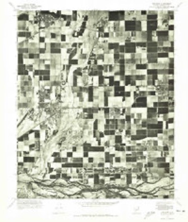
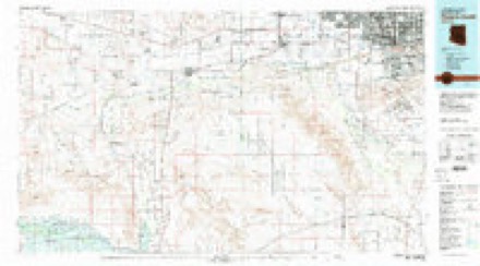
11 surveys from 23 printed sheetsMatched by testing this settlement's coordinate against the published boundary of every sheet in the United States Geological Survey's historical collection. Each opens the scanned sheet at the Survey.
- 1946 USGS Avondale quadrangle1:62500, 2 printings
- 1948 USGS Cashion quadrangle1:62500, 2 printings
- 1954 USGS Phoenix quadrangle1:250000, 5 printings
- 1957 USGS Phoenix quadrangle1:250000
- 1957 USGS Tolleson quadrangle1:24000, 5 printings
- 1958 USGS Phoenix quadrangle1:250000
- 1960 USGS Phoenix quadrangle1:250000
- 1969 USGS Phoenix quadrangle1:250000, 2 printings
- 1971 USGS Phoenix quadrangle1:250000
- 1971 USGS Tolleson quadrangle1:24000
- 1981 USGS Phoenix South quadrangle1:100000, 2 printings






Fires near this place
1,329 since 1992Regional context, not property-specific evidence. The federal wildfire occurrence database lists 1,329 fires within 5 miles of Tolleson between 1992 and 2020, burning about 1,195 acres in total. 17 started naturally. 58 were recorded as arson. Distance is straight-line from the map coordinates, so a fire counted here may appear on a neighbouring settlement's page as well.
| Reported cause | Fires |
|---|---|
| Missing data/not specified/undetermined | 1239 |
| Arson/incendiarism | 58 |
| Natural | 17 |
| Power generation/transmission/distribution | 6 |
| Equipment and vehicle use | 5 |
| Debris and open burning | 2 |
| Recreation and ceremony | 2 |
The most recent of them, most recent first, with the day each was reported and the service that recorded it.
| Date | Cause | Size | Reported by | Name on the report |
|---|---|---|---|---|
| 9 September 2018 | Missing data/not specified/undetermined | under an acre | Phoenix Fire Department | 335425 |
| 9 September 2000 | Missing data/not specified/undetermined | 4.2 acres | Pima Agency | EARLY |
| 8 September 2018 | Missing data/not specified/undetermined | under an acre | Phoenix Fire Department | 333529 |
| 8 September 2015 | Missing data/not specified/undetermined | under an acre | Arizona Department of Forestry and Fire Management - State Office | 154834 |
| 8 September 2015 | Missing data/not specified/undetermined | under an acre | Arizona Department of Forestry and Fire Management - State Office | 154832 |
| 8 September 2010 | Missing data/not specified/undetermined | under an acre | Arizona Department of Forestry and Fire Management - State Office | AZ-101903 |
| 8 September 2010 | Missing data/not specified/undetermined | under an acre | Arizona Department of Forestry and Fire Management - State Office | AZ-101901 |
| 7 September 2018 | Arson/incendiarism | under an acre | Avondale Fire and Medical Department | 232342 |
Settlements close enough to share some of these fires:
Mines and quarries near this place
10 of 19 shownRegional context, not property-specific evidence. The federal mineral resources record lists 19 workings within 5 miles of Tolleson: 7 past producers, 6 unknowns, 5 producers, 1 plant. 6 still produce. What was taken out: Sand and Gravel, Construction, Brick Clay, Clay. Distance is straight-line from the map coordinates, so a quarry counted here may appear on a neighbouring settlement's page as well.
| Where | Site | Commodity | Status | Recorded |
|---|---|---|---|---|
| Building Products Co. | Clay | Plant | ||
| Tolleson Mine | Brick Clay | Producer | Clay | |
| Agua Fria Pit National S&G | Sand and Gravel, Construction | Producer | ||
| Allied Concrete Pit | Sand and Gravel, Construction | Unknown | ||
| Allied Concrete,Sand & Gravel Plant | Sand and Gravel, Construction | Producer | ||
| Blm Gravel Pit | Sand and Gravel, Construction | Unknown | ||
| Gravel Pit | Sand and Gravel, Construction | Unknown | ||
| Gravel Pit | Sand and Gravel, Construction | Unknown | ||
| Gravel Pit | Sand and Gravel, Construction | Unknown | ||
| Gravel Pit | Sand and Gravel, Construction | Unknown |
Storms near this place
16 since 1994Regional context, not property-specific evidence. The National Weather Service names Tolleson in 16 storm reports between 1994 and 2023: 6 thunderstorm wind, 4 flash flood, 3 hail, 2 lightning. No death or injury is recorded in these reports. Each account below is quoted exactly as the forecast office filed it, from the NOAA Storm Events Database, and each date opens the federal record of that event.
| When | Event | Place named | Harm | What the report says |
|---|---|---|---|---|
| July 2001 | Thunderstorm Wind | Tolleson | $250,000 | As many as 8 power lines downed by high winds near 113th Avenue and Southern. High winds also blew down a large electronic information display billboard at Phoenix International Raceway. |
| February 2019 | Thunderstorm Wind | Tolleson | $30,000 | A slow moving, and very strong winter storm moved through south-central Arizona starting on February 21st, and in addition to heavy desert rain and mountain snow, the storm produced conditions favorable for thunderstorms during the afternoon hours. Isolated strong storms formed in the early afternoon over portions of the greater Phoenix area and one of the stronger ones impacted the town of Tolleson. According to a report from the public, at 1245MST gusty thunderstorm winds up to 65 mph snapped several Palo Verde trees in half and uprooted one of the larger trees. This occurred about 2 miles to the northwest of Tolleson. In addition, the winds bent over a street sign and damaged a sign at the local Honda dealership. At the same time, about 1 mile northwest of the town, the strong winds downed multiple Salt River Project power poles. No injuries were reported due to the damage. A Severe Thunderstorm Warning was not in effect at the time of the damage. |
| October 2010 | Lightning | Tolleson | $30,000 | Lightning caused a working residential structure fire in Tolleson, on the afternoon of October 5th. The fire caused the family to be displaced. No injuries were reported. |
| October 2018 | Flash Flood | Tolleson | $20,000 | Copious amounts of deep tropical moisture spread into the central portions of the greater Phoenix area during the morning hours on October 2nd; the moisture was associated with former hurricane Rosa. The deep moisture led to widespread moderate to heavy showers and many locations in the greater Phoenix area picked up 1 to 3 inches of rain. The heavy rain led to episodes of flash flooding which forced multiple schools to close. According to a county official, at 0800MST flash flooding forced the Rio Vista Elementary School to close. The school was located near McDowell Road and 99th Avenue, about 2 miles northwest of Tolleson. At nearly the same time, broadcast media reported that the Desert Horizon Elementary School was closed due to severe flash flooding. The school was located near Indian School Road and 83rd Avenue, about 3 miles northeast of Tolleson and just north of Interstate 10. A very large Flash Flood Warning was issued at 0730MST and remained in effect through 1030MST; the warning encompassed both of the schools. No injuries were reported due to the flash flooding. |
| July 2021 | Lightning | Tolleson | $15,000 | Lightning was reported to have started a house fire in a neighborhood near 91st Avenue and Lower Buckeye Road. Firefighters discovered a small fire in the attic of the home, which was quickly extinguished. No injuries were reported. |
| August 2017 | Flash Flood | Tolleson | $10,000 | Scattered thunderstorms developed across the greater Phoenix area during the early morning hours on August 13th and some of the stronger storms affected central Phoenix including the downtown area. The primary weather hazard was heavy rain with flash flooding; peak rain rates in excess of one inch per hour were more than sufficient to cause flash flooding in the highly urbanized downtown area. According to local law enforcement, at 0226MST flash flooding resulted in a water rescue at the intersection of Interstate 10 and North 75th Avenue approximately 2 miles east of the town of Tolleson. No injuries were reported. A Flash Flood Warning was in effect at the time of the rescue; it was issued at 0200MST and was in effect through 0500MST. |
| October 2022 | Thunderstorm Wind | Tolleson | $5,000 | A Trained Spotter sent pictures of a couple of trees, with branches snapped, along with a large uprooted tree that fell onto an SUV causing some damage to the vehicle near the Love Truck Stop Station located just south of I-10 in Tolleson. TPHX terminal doppler radar measured over 70 mph in the area. No injuries were reported. |
| August 2021 | Thunderstorm Wind | Tolleson | $3,000 | Public report, confirmed by police, that a road was blocked by downed power lines at 83rd Avenue and Broadway Road. Winds estimated around 55-65 mph and timing estimated from radar. No injuries reported. |
| July 2017 | Thunderstorm Wind | Tolleson | $2,000 | Thunderstorms developed across the western portion of the greater Phoenix area during the afternoon hours on July 29th and some of the stronger storms produced gusty and damaging outflow winds that impacted the community of Tolleson. At 1730MST, gusty winds estimated to be nearly 70 mph in strength snapped a palm tree in half, nearly three quarters of the way from the top of the tree. The snapped tree was reported by a local emergency manager and was located near the intersection of Interstate 10 and the loop 101 freeway, just north of the town of Tolleson. |
| August 2023 | Thunderstorm Wind | Tolleson | - | A 58 mph wind gust was measured at a mesonet station located in the area of North 107th Avenue just south of Interstate 10. |
| July 2021 | Flash Flood | Tolleson | - | Several lanes on I-10 near 75th Avenue and 91st Avenue were flooded and became impassable. The I-10 westbound off-ramp at 59th Avenue was closed due to flooding. No damage or injuries were reported. |
| September 2018 | Heavy Rain | Tolleson | - | Thunderstorms with locally heavy rain developed across the western portion of the greater Phoenix metropolitan area during the evening hours on September 2nd. Some the stronger storms produced rain rates in excess of 3 inches per hour which led to flooding issues in communities such as Tolleson and Avondale. At 1729MST a trained weather spotter located about 3 miles northwest of the town of Tolleson reported 1.20 inches of rain that fell in a 20 minute period. The heavy rain occurred at 107th Avenue and Thomas road and resulted in curb to curb street flooding. Despite the intense rainfall, flash flooding was not observed. Shortly after the report, an Urban and Small Stream Flood Advisory was issued for the area; it was issued at 1735MST and remained in effect until 2030MST. |
| February 2010 | Hail | Tolleson | - | Thunderstorm and dime size hail reported by spotter. |
| September 2008 | Hail | Tolleson | - | Large hail was reported across parts of central and western Maricopa County. Most of the reports were for dime to penny size hail. |
| August 2003 | Flash Flood | Tolleson | - | Heavy rain was blamed on a partial roof collapse at the Albertson's warehouse at 99th Ave and Lower Buckeye Road. At least 15 homes were flooded according to the Tolleson Fire Chief. Numerous streets flooded. |
| September 1994 | Hail | Tolleson | - | Thunderstorm winds downed 15 power poles and tore shingles from the roofs of several houses. |
Newspapers printed here
2,811 digitised pages2 papers published in this town, digitised by the Library of Congress and free to read: 620 issues, 2,811 pages. Every page is searchable, so a name or a street can be looked for directly in what the town printed about itself at the time.
| Newspaper | Published |
|---|---|
| Westside Enterprise | 1941 to 1953 |
| The Tolleson Independent | 1941 |
Nearest settlements
The eight closest, with where each one stands in the county. Distances are straight-line, computed from the Geographic Names Information System coordinates.
| Map | Place | Distance | Sheets |
|---|---|---|---|
| Cashion | 2.3 miles | 23 | |
| Sheffield Place | 2.6 miles | 23 | |
| Fowler | 2.9 miles | 27 | |
| Westridge Park | 2.9 miles | 27 | |
| Young America West | 3.0 miles | 23 | |
| West End | 3.1 miles | 23 | |
| Liberty Village | 3.3 miles | 23 | |
| Westbriar | 3.3 miles | 23 |
Elsewhere
Matched on this settlement's Geographic Names Information System number rather than its name, so it cannot be a different place of the same name in another state.
| Wikipedia article on Tolleson | An encyclopaedic summary. Its text is share-alike, so it is linked here rather than copied. |
| Wikidata item Q79898 | The structured record the population and elevation above come from. Public domain (CC0). |
Provenance
This settlement is recorded in the Geographic Names Information System as feature 12564. The sheet list is computed by point-in-boundary test against the United States Geological Survey's historical topographic inventory. Both are works of the United States government and carry no copyright under 17 U.S.C. 105.
Wildfire. Short, Karen C. 2022. Spatial wildfire occurrence data for the United States, 1992-2020 [FPA_FOD_20221014]. 6th Edition. Fort Collins, CO: Forest Service Research Data Archive. https://doi.org/10.2737/RDS-2013-0009.6 Collected with United States Government funding and usable without additional permissions or fees.
Mines and quarries. USGS Mineral Resources Data System (MRDS) https://mrdata.usgs.gov/mrds/ A work of the United States government, no copyright under 17 U.S.C. 105.
Storms. NOAA National Centers for Environmental Information, Storm Events Database https://www.ncei.noaa.gov/stormevents/ A work of the United States government, no copyright under 17 U.S.C. 105. Narratives are quoted verbatim from the National Weather Service report and are not edited or summarised.