 Block
Guadalupe, Arizona
21 topographic sheets cover this place, the earliest surveyed in 1913 and the latest in 1994. It stands in the Phoenix census division. It lies in ZIP code area 85283. It lies near Pima Canyon. The Survey maps it on the Guadalupe quadrangle. 5,322 people lived here at the 2020 count. It stands 1,234 feet above sea level.
On record in Guadalupe
Buildings and businesses the archive holds for this place. Each opens its own page, with the source record it came from.
On the National Register within a mile 1 record
The National Register names another town for these. They stand within one mile of this settlement's coordinate.
- Guadalupe Cemeterylisted 2022 · 0.9 miles away
Population over time
2 figuresGuadalupe fell from 5,523 to 5,322 between 2010 and 2020. These are the recorded population figures Wikidata holds for this place, reached through the Geographic Names Information System number this page is keyed on rather than by name, so they belong to this place and not to another of the same name. Most are census counts, but not all are: an early figure may be a founding or settlement estimate, and an estimate published within five years of a census is left out. The change column is computed, and is left blank where more than 20 years separate a figure from the one before it, because a gap that long is not a change between two counts.
| Year | People | Change |
|---|---|---|
| 2010 | 5,523 | |
| 2020 | 5,322 | -201 (-4%) |
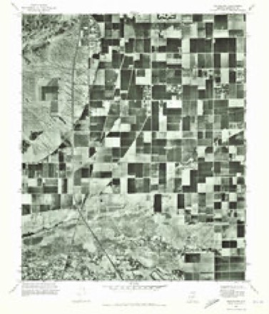
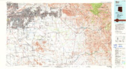
Topographic sheets covering this place
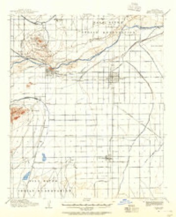
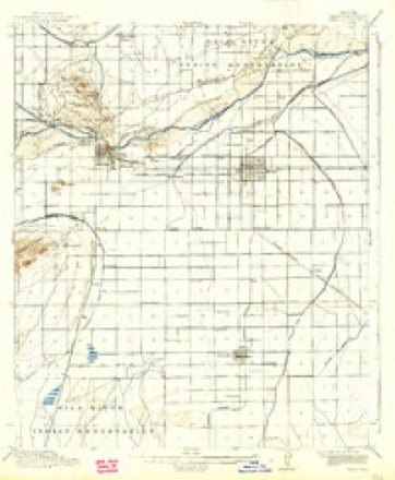
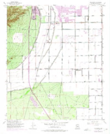
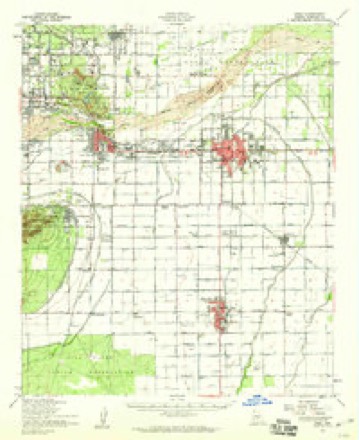
11 surveys from 21 printed sheetsMatched by testing this settlement's coordinate against the published boundary of every sheet in the United States Geological Survey's historical collection. Each opens the scanned sheet at the Survey.
- 1913 USGS Mesa quadrangle1:62500
- 1915 USGS Mesa quadrangle1:62500, 2 printings
- 1952 USGS Guadalupe quadrangle1:24000, 6 printings
- 1952 USGS Mesa quadrangle1:62500
- 1954 USGS Mesa quadrangle1:250000, 4 printings
- 1957 USGS Mesa quadrangle1:250000
- 1958 USGS Mesa quadrangle1:250000
- 1960 USGS Mesa quadrangle1:250000
- 1964 USGS Mesa quadrangle1:250000
- 1971 USGS Guadalupe quadrangle1:24000
- 1994 USGS Mesa quadrangle1:100000, 2 printings





Fires near this place
1,213 since 1995Regional context, not property-specific evidence. The federal wildfire occurrence database lists 1,213 fires within 5 miles of Guadalupe between 1995 and 2020, burning about 188 acres in total. 11 started naturally. 16 were recorded as arson. Distance is straight-line from the map coordinates, so a fire counted here may appear on a neighbouring settlement's page as well.
| Reported cause | Fires |
|---|---|
| Missing data/not specified/undetermined | 1180 |
| Arson/incendiarism | 16 |
| Natural | 11 |
| Misuse of fire by a minor | 2 |
| Equipment and vehicle use | 2 |
| Smoking | 1 |
| Power generation/transmission/distribution | 1 |
The most recent of them, most recent first, with the day each was reported and the service that recorded it.
| Date | Cause | Size | Reported by | Name on the report |
|---|---|---|---|---|
| 9 September 2018 | Missing data/not specified/undetermined | under an acre | Phoenix Fire Department | 334642 |
| 9 September 2015 | Missing data/not specified/undetermined | under an acre | Arizona Department of Forestry and Fire Management - State Office | 155223 |
| 8 September 2018 | Missing data/not specified/undetermined | under an acre | Phoenix Fire Department | 334484 |
| 7 September 2018 | Missing data/not specified/undetermined | under an acre | Phoenix Fire Department | 332703 |
| 7 September 2018 | Missing data/not specified/undetermined | under an acre | Tempe Fire Department | 1820604 |
| 7 September 2018 | Missing data/not specified/undetermined | under an acre | Tempe Fire Department | 1820633 |
| 5 September 2011 | Missing data/not specified/undetermined | under an acre | Arizona Department of Forestry and Fire Management - State Office | AZ-112019 |
| 30 September 2020 | Missing data/not specified/undetermined | under an acre | Arizona Department of Forestry and Fire Management - State Office | not named |
Settlements close enough to share some of these fires:
Mines and quarries near this place
5 within 5 milesRegional context, not property-specific evidence. The federal mineral resources record lists 5 workings within 5 miles of Guadalupe: 2 past producers, 1 unknown, 1 prospect, 1 producer. 1 still produces. What was taken out: Sand and Gravel, Construction, Tungsten, Copper. Distance is straight-line from the map coordinates, so a quarry counted here may appear on a neighbouring settlement's page as well.
| Where | Site | Commodity | Status | Recorded |
|---|---|---|---|---|
| Gabitzsch-Owens | Tungsten, Copper | Prospect | ||
| ADOT Gravel Pit | Sand and Gravel, Construction | Unknown | ||
| Sand and Gravel Quarry | Sand and Gravel, Construction | Past Producer | Sand and Gravel | |
| United Metro Plant #6 | Sand and Gravel, Construction | Producer | ||
| Valley Redi-Mix Pit | Sand and Gravel, Construction | Past Producer |
Storms near this place
11 since 2013Regional context, not property-specific evidence. The National Weather Service names Guadalupe in 11 storm reports between 2013 and 2025: 5 thunderstorm wind, 3 flash flood, 1 heavy rain, 1 dust devil. No death or injury is recorded in these reports. Each account below is quoted exactly as the forecast office filed it, from the NOAA Storm Events Database, and each date opens the federal record of that event.
| When | Event | Place named | Harm | What the report says |
|---|---|---|---|---|
| August 2014 | Flash Flood | Guadalupe | $100,000 | Scattered to numerous showers and thunderstorms produced locally heavy rainfall across the south central portion of the greater Phoenix metropolitan area during the afternoon and evening hours on August 12th. Rainfall rates were measured to be in excess of 1 inch per hour, and isolated locations received storm total rainfall greater than 3 inches. Some of the hardest hit communities included Laveen, Ahwatukee and south Phoenix. At 1830MST, a trained spotter located 1 mile northeast of Ahwatukee measured 1.05 inches of rain within one hour, and indicated that in addition to street flooding, the local drainage washes were running. Later, at 1930MST, another trained spotter 3 miles west of South Mountain Park measured an afternoon storm total rainfall of 3.2 inches. At the same time, he reported that 27th Avenue was flooded with water 18 inches deep between Dobbins and Baseline Roads. There were numerous stalled cars due to the flash flooding. According to an on-line article posted at the AZFamily.Com website, a flooded wash trapped 11 motorists near South 19th Avenue and Dobbins Road. At 1830MST, at the height of the storm, the raging waters came out of nowhere according to Phoenix Fire Captain Ruben Saavedra, and trapped the motorists. Rescue crews had a difficult time getting to the victims due to an overflowing nearby canal. The rescue crews indicated that the victims were shaken but not injured. Additionally, the storms damaged South Mountain Park and caused a major rock slide on the park's Summit Road at the 2 mile mark, according to David Urbinato with the Phoenix Parks and Recreation Department. Many boulders moved in the slide were 2 feet long by 1 foot wide, and the debris field exceeded 6 feet at its deepest point. Six vehicles were trapped on the Summit Road by the slide, and the Phoenix Fire Department transported these people off the mountain by 2100MST. The slide forced the closure of the Central Avenue entrance to the park due to debris removal. No injures were reported due to the flash flooding. |
| July 2022 | Thunderstorm Wind | Guadalupe | $15,000 | A video showed a palm tree falling onto three vehicles at a car dealership resulting in damage to the vehicles. No injuries were reported. |
| July 2019 | Thunderstorm Wind | Guadalupe | $2,000 | Isolated thunderstorms developed across central and southeast portions of the greater Phoenix area during the evening hours on July 22. The stronger storms generated gusty outflow winds estimated to be at least 50 mph in strength which affected communities such as Guadalupe and Tempe. According to a report from the public, at 2026MST gusty outflow winds blew down a large tree in an apartment complex near Priest Drive and Elliot Road, about 1 mile south of the town of Guadalupe. The downed tree was seen in a twitter photo. No injuries were reported due to the falling tree. |
| August 2025 | Thunderstorm Wind | Guadalupe | $500 | Large mesquite tree blown over on 44th Street near McNeil Street. Timing estimated from radar and social media report. |
| August 2023 | Lightning | Guadalupe | $500 | A lightning strike sparked a fire half an acre in size along the TV towers in South Mountain in Phoenix. Firefighters were able to extinguish fire successfully with structural damage reported. |
| August 2025 | Thunderstorm Wind | Guadalupe | $200 | A large tree was reported down near 44th Street and Baseline Road. No injuries were reported. Timing estimated from radar. |
| July 2021 | Flash Flood | Guadalupe | - | Images from local broadcast media show a portion of 48th Street in Ahwatukee blocked off due to flooding. |
| August 2021 | Thunderstorm Wind | Guadalupe | - | A weather station located at the Gila River Valley Lookout on South Mountain measured a 75.6 mph gust. |
| September 2017 | Dust Devil | Guadalupe | - | During the early afternoon hours on September 24th, an impressive dust devil developed over the southern portions of Tempe and this was captured on camera by local broadcast media. The dust devil formed over open, dusty ground during the early afternoon on a warm day under sunny skies, and quickly formed a very impressive rotating funnel which grew several hundred feet high. The dust devil formed near the intersection of Interstate 10 and Elliot Road, at about 1300MST. The devil was captured on camera by AZ Family TV3 / CBS Channel 5. No damage occurred despite the impressive nature of the rotating funnel. |
| August 2017 | Flash Flood | Guadalupe | - | Scattered to numerous thunderstorms developed across the central and southeast portions of the greater Phoenix metropolitan area during the afternoon hours on August 3rd, and some of the stronger storms generated intense rainfall with peak rainfall rates in excess of 4 inches per hour. At about 1800MST, a trained spotter in central Tempe near the intersection of Southern Avenue and McClintock Road measured 2.35 inches within 30 minutes. The intense rainfall easily led to episodes of flash flooding, especially given the extreme amounts of asphalt and concrete present in the area. At 1808MST, the Arizona Department of Highways reported flash flooding on the Superstition Freeway; the heavy rains caused the freeway to become flooded at McClintock Avenue in central Tempe. At 1816MST, the Arizona Department of Highways reported flash flooding further to the west as Highway 60, the Superstition Freeway, was flooded at the Mill Avenue underpass. Shortly thereafter, at 1826MST, local broadcast media reported that flash flooding resulted in the closure of Mill Avenue just north of Broadway Road. A Flash Flood Warning was in effect at the time of the flooding; it was issued at 1728MST and was valid through 2030MST. No injuries were reported due to the flash flooding. |
| July 2013 | Heavy Rain | Guadalupe | - | Scattered to numerous showers and thunderstorms developed across south central Arizona, inculding the greater Phoenix area, during the morning hours on July 21st. The thunderstorms increased in intensity as the morning progressed and they produced locally heavy rain with rainfall rates in excess of one inch per hour as depicted by area rain gages and radar rainfall estimates. According to a trained weather spotter located 1 mile northeast of Ahwatukee, 0.70 inches of rain was measured in a 30 minute period ending at 935 am. Area dry washes were running heavy due to the rainfall. Additionally, the official ASOS rain gage at Phoenix Sky Harbor Airport measured 0.88 inches of rain in a 43 minute period ending at 1058 am. The heavy rain led to significant urban street flooding and caused area washes to run heavily. An Urban and Small Stream Flood Advisory was issued for the greater Phoenix area at 1004 am and it remained in effect through about noon. Additional rains continued into the afternoon hours and they were heavy at times. |
Nearest settlements
The eight closest, with where each one stands in the county. Distances are straight-line, computed from the Geographic Names Information System coordinates.
| Map | Place | Distance | Sheets |
|---|---|---|---|
| Peterson (historical) | 0.5 miles | 23 | |
| The Pointe at South Mountain | 0.7 miles | 21 | |
| Burgundy Hill | 0.9 miles | 21 | |
| Peterson | 1.2 miles | 23 | |
| Desert Villas | 1.4 miles | 21 | |
| Contempo Tempe | 1.4 miles | 23 | |
| Helena | 1.4 miles | 21 | |
| Cambridge Heights | 1.5 miles | 21 |
Elsewhere
Matched on this settlement's Geographic Names Information System number rather than its name, so it cannot be a different place of the same name in another state.
| Wikipedia article on Guadalupe | An encyclopaedic summary. Its text is share-alike, so it is linked here rather than copied. |
| Wikidata item Q985305 | The structured record the population and elevation above come from. Public domain (CC0). |
Provenance
This settlement is recorded in the Geographic Names Information System as feature 5415. The sheet list is computed by point-in-boundary test against the United States Geological Survey's historical topographic inventory. Both are works of the United States government and carry no copyright under 17 U.S.C. 105.
Wildfire. Short, Karen C. 2022. Spatial wildfire occurrence data for the United States, 1992-2020 [FPA_FOD_20221014]. 6th Edition. Fort Collins, CO: Forest Service Research Data Archive. https://doi.org/10.2737/RDS-2013-0009.6 Collected with United States Government funding and usable without additional permissions or fees.
Mines and quarries. USGS Mineral Resources Data System (MRDS) https://mrdata.usgs.gov/mrds/ A work of the United States government, no copyright under 17 U.S.C. 105.
Storms. NOAA National Centers for Environmental Information, Storm Events Database https://www.ncei.noaa.gov/stormevents/ A work of the United States government, no copyright under 17 U.S.C. 105. Narratives are quoted verbatim from the National Weather Service report and are not edited or summarised.