 Block
Peterson, Arizona
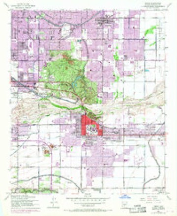
23 topographic sheets cover this place, the earliest surveyed in 1913 and the latest in 1994. It stands in the Phoenix census division. It lies in ZIP code area 85282. It lies near Pima Canyon. The Survey maps it on the Tempe quadrangle.
On record in Peterson
Buildings and businesses the archive holds for this place. Each opens its own page, with the source record it came from.
On the National Register within a mile 1 record
The National Register names another town for these. They stand within one mile of this settlement's coordinate.
- Guadalupe Cemeterylisted 2022 · 0.8 miles away
Topographic sheets covering this place
12 surveys from 23 printed sheetsMatched by testing this settlement's coordinate against the published boundary of every sheet in the United States Geological Survey's historical collection. Each opens the scanned sheet at the Survey.
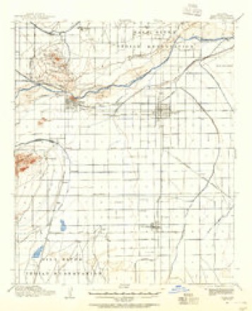
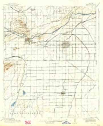
- 1913 USGS Mesa quadrangle1:62500
- 1915 USGS Mesa quadrangle1:62500, 2 printings
- 1952 USGS Mesa quadrangle1:62500
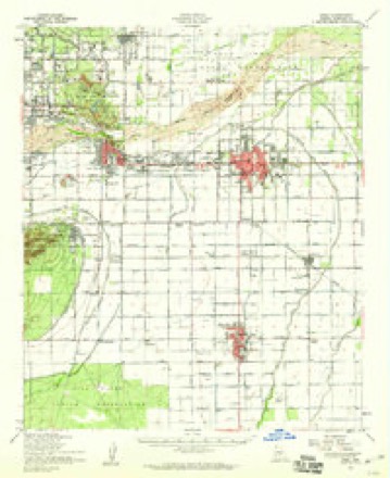
- 1952 USGS Tempe quadrangle1:24000, 7 printings
- 1954 USGS Mesa quadrangle1:250000, 4 printings
- 1957 USGS Mesa quadrangle1:250000
- 1958 USGS Mesa quadrangle1:250000
- 1958 USGS Tempe quadrangle1:24000
- 1960 USGS Mesa quadrangle1:250000
- 1964 USGS Mesa quadrangle1:250000
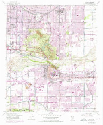
- 1971 USGS Tempe quadrangle1:24000
- 1994 USGS Mesa quadrangle1:100000, 2 printings





Fires near this place
1,301 since 1995Regional context, not property-specific evidence. The federal wildfire occurrence database lists 1,301 fires within 5 miles of Peterson between 1995 and 2020, burning about 205 acres in total. 6 started naturally. 17 were recorded as arson. Distance is straight-line from the map coordinates, so a fire counted here may appear on a neighbouring settlement's page as well.
| Reported cause | Fires |
|---|---|
| Missing data/not specified/undetermined | 1267 |
| Arson/incendiarism | 17 |
| Natural | 6 |
| Equipment and vehicle use | 4 |
| Power generation/transmission/distribution | 3 |
| Misuse of fire by a minor | 2 |
| Smoking | 1 |
| Recreation and ceremony | 1 |
The most recent of them, most recent first, with the day each was reported and the service that recorded it.
| Date | Cause | Size | Reported by | Name on the report |
|---|---|---|---|---|
| 9 September 2018 | Missing data/not specified/undetermined | under an acre | Phoenix Fire Department | 334642 |
| 9 September 2015 | Missing data/not specified/undetermined | under an acre | Arizona Department of Forestry and Fire Management - State Office | 155223 |
| 8 September 2018 | Missing data/not specified/undetermined | under an acre | Phoenix Fire Department | 334484 |
| 7 September 2018 | Missing data/not specified/undetermined | under an acre | Phoenix Fire Department | 332703 |
| 7 September 2018 | Missing data/not specified/undetermined | under an acre | Tempe Fire Department | 1820604 |
| 7 September 2018 | Missing data/not specified/undetermined | under an acre | Tempe Fire Department | 1820633 |
| 5 September 2011 | Missing data/not specified/undetermined | under an acre | Arizona Department of Forestry and Fire Management - State Office | AZ-112019 |
| 30 September 2020 | Missing data/not specified/undetermined | under an acre | Arizona Department of Forestry and Fire Management - State Office | not named |
Settlements close enough to share some of these fires:
Mines and quarries near this place
8 within 5 milesRegional context, not property-specific evidence. The federal mineral resources record lists 8 workings within 5 miles of Peterson: 3 past producers, 3 producers, 1 unknown, 1 prospect. 3 still produce. What was taken out: Sand and Gravel, Construction, Tungsten, Copper. Distance is straight-line from the map coordinates, so a quarry counted here may appear on a neighbouring settlement's page as well.
| Where | Site | Commodity | Status | Recorded |
|---|---|---|---|---|
| Gabitzsch-Owens | Tungsten, Copper | Prospect | ||
| ADOT Gravel Pit | Sand and Gravel, Construction | Unknown | ||
| Hayden Road Pit | Sand and Gravel, Construction | Past Producer | ||
| Nesbitt Pit & Plant | Sand and Gravel, Construction | Producer | ||
| Sand and Gravel Quarry | Sand and Gravel, Construction | Past Producer | Sand and Gravel | |
| Tri-City Gravel Pit | Sand and Gravel, Construction | Producer | ||
| United Metro Plant #6 | Sand and Gravel, Construction | Producer | ||
| Valley Redi-Mix Pit | Sand and Gravel, Construction | Past Producer |
Storms near this place
5 since 2015Regional context, not property-specific evidence. The National Weather Service names Peterson in 5 storm reports between 2015 and 2025: 4 thunderstorm wind, 1 flash flood. No death or injury is recorded in these reports. Each account below is quoted exactly as the forecast office filed it, from the NOAA Storm Events Database, and each date opens the federal record of that event.
| When | Event | Place named | Harm | What the report says |
|---|---|---|---|---|
| October 2025 | Thunderstorm Wind | Peterson | $1,500,000 | Extreme and widespread wind damage from a supercell thunderstorm was observed in Tempe. The most severe damage was concentrated in a 2-2.5 mile north-south corridor just east of I-10, between Downtown Tempe and Warner Road. A damage assessment, based on 1086 total surveys conducted in the days following the event, determined that over 550 homes and 70 businesses were damaged. Some of the home property damaged included two apartment complexes, located near the area of Mill Avenue and U.S. 60, that had 55 units that were deemed uninhabitable, with 11 additional units having severe damage. In total 89 units were impacted, equating to a total of 267 tenants affected. One mobile home park, located near the area of Baseline and Kyrene Roads, suffered severe damage with 6 mobile homes deemed uninhabitable with 336 additional sustaining severe damage. An industrial park located just across the street from the mobile home park had 63 businesses destroyed/sustain severe damage. Approximately 520 trees were lost in parks alone with many more downed trees, some very large-sized, causing damage to buildings and vehicles and downing powerlines. There were a total of 1500 tons of debris generated from the damage. A damage survey conducted by NWS Phoenix Meteorologists in the most affected areas supported peak wind gusts upwards of 80-90 mph. Given the extensive wind damage, a local state of emergency was declared for Tempe. Total damage cost was estimated at least $1.5 million. |
| August 2015 | Thunderstorm Wind | Peterson | $10,000 | Thunderstorms moved across the central portion of the greater Phoenix metropolitan area during the afternoon hours on August 27th; due to a favorable combination of elevated instability and wind fields aloft, the stronger storms produced strong, gusty and damaging microburst winds. One community especially impacted by the damaging winds was Tempe. At 1635MST, local broadcast media reported that a large tree was uprooted 1 mile to the southeast of Arizona Mills Mall in Tempe. Wind gusts were estimated to be as high as 65 mph. Minor structural damage was also reported. About 30 minutes later, the media reported that more trees were blown down 1 mile southeast of Tempe. |
| August 2016 | Thunderstorm Wind | Peterson | $5,000 | Thunderstorms developed across portions of the greater Phoenix metropolitan area during the afternoon hours on August 21st and one of the stronger storms affected the town of Tempe. The strong storm generated gusty outflow winds estimated to be at least 60 mph in strength. According to a report from the public, at 1755MST the gusty outflow winds ripped a very large pine tree branch from the trunk and they also damaged a number of other trees in the area. The damaged trees were located about 1 mile east of the town of Tempe. A Severe Thunderstorm Warning was issued at 1741MST due to the strong damaging winds. |
| July 2016 | Thunderstorm Wind | Peterson | $5,000 | Thunderstorms developed across the greater Phoenix area during the late afternoon and early evening hours, and some of them moved across the community of Guadalupe. The stronger storms generated gusty and damaging outflow winds estimated to be 60 mph or greater. According to an NWS employee, several medium sized trees were blown down around the town of Guadalupe, others had branches broken off and one medium sized tree was uprooted and blown onto a road. |
| October 2025 | Flash Flood | Peterson | - | Video showed nearly all lanes but the HOV lane along U.S. 60 near Mill Avenue flooded. Trained spotters near the area reported 0.50 inch of rain in less than 10 minutes. No damages or injuries reported. |
Nearest settlements
The eight closest, with where each one stands in the county. Distances are straight-line, computed from the Geographic Names Information System coordinates.
| Map | Place | Distance | Sheets |
|---|---|---|---|
| Peterson (historical) | 0.8 miles | 23 | |
| Guadalupe | 1.2 miles | 21 | |
| The Lakes | 1.3 miles | 21 | |
| Helena | 1.5 miles | 21 | |
| Camelot Luxury Homes | 1.6 miles | 21 | |
| The Pointe at South Mountain | 1.8 miles | 21 | |
| Contempo Tempe | 1.8 miles | 23 | |
| The Landings | 2.0 miles | 21 |
Provenance
This settlement is recorded in the Geographic Names Information System as feature 24557. The sheet list is computed by point-in-boundary test against the United States Geological Survey's historical topographic inventory. Both are works of the United States government and carry no copyright under 17 U.S.C. 105.
Wildfire. Short, Karen C. 2022. Spatial wildfire occurrence data for the United States, 1992-2020 [FPA_FOD_20221014]. 6th Edition. Fort Collins, CO: Forest Service Research Data Archive. https://doi.org/10.2737/RDS-2013-0009.6 Collected with United States Government funding and usable without additional permissions or fees.
Mines and quarries. USGS Mineral Resources Data System (MRDS) https://mrdata.usgs.gov/mrds/ A work of the United States government, no copyright under 17 U.S.C. 105.
Storms. NOAA National Centers for Environmental Information, Storm Events Database https://www.ncei.noaa.gov/stormevents/ A work of the United States government, no copyright under 17 U.S.C. 105. Narratives are quoted verbatim from the National Weather Service report and are not edited or summarised.