 Block
BlockChiriaco Summit, California
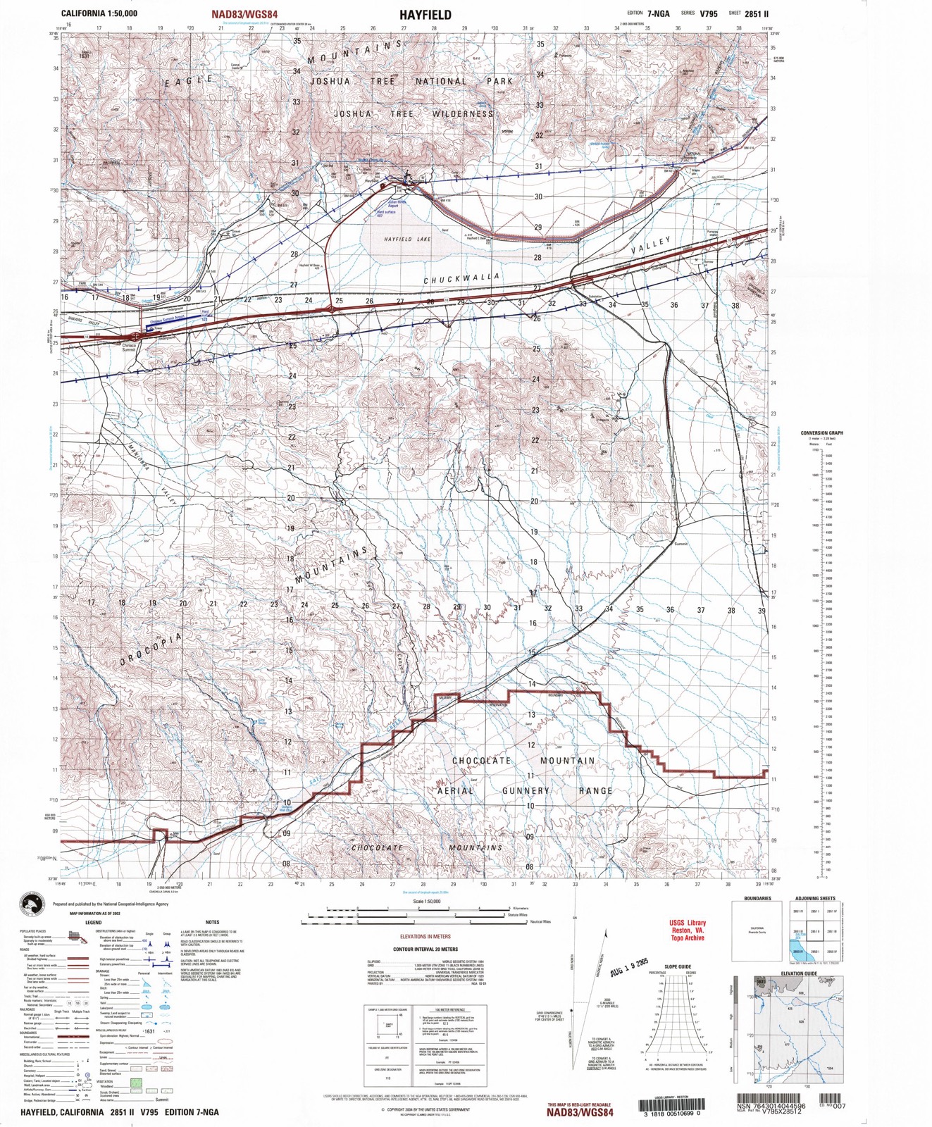
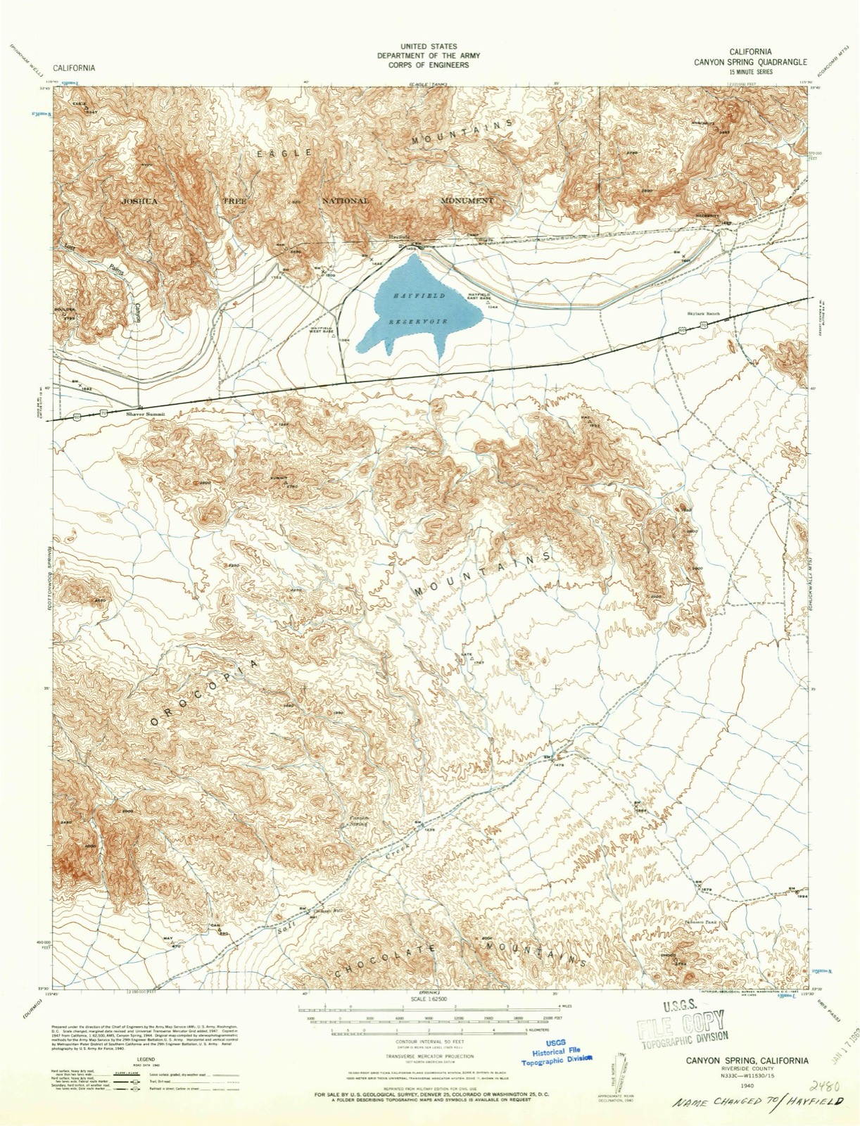
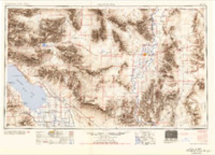
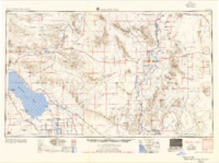
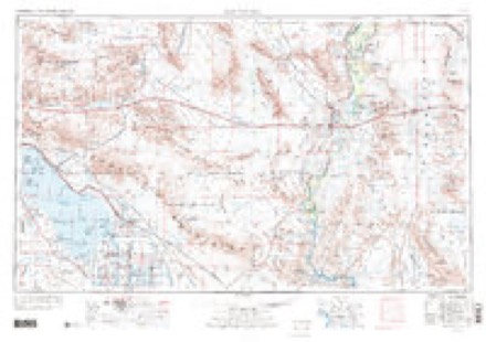
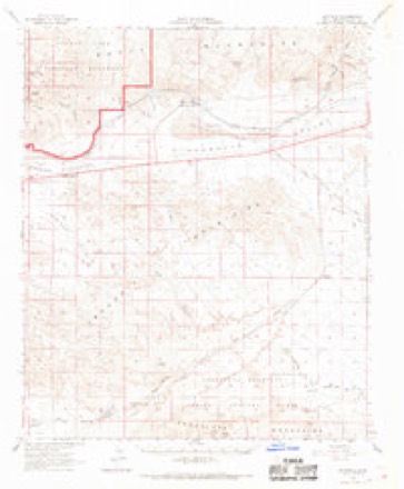
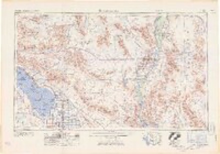
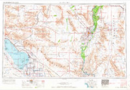
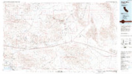
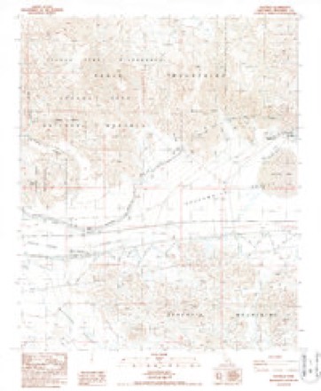
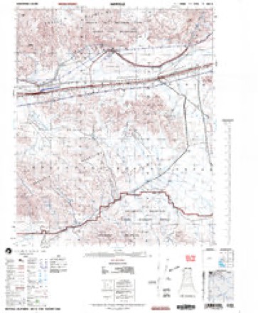
20 topographic sheets cover this place, the earliest surveyed in 1940 and the latest in 2002. It stands in the Chuckwalla Valley census division. It lies in ZIP code area 92239. It lies near Maniobra Valley. The Survey maps it on the Hayfield quadrangle.
Then and now
1940 to 2002The same ground, surveyed 62 years apart. Drag the handle to wipe between them. Both sheets are United States Geological Survey originals; neither has been altered.
Topographic sheets covering this place
11 surveys from 20 printed sheetsMatched by testing this settlement's coordinate against the published boundary of every sheet in the United States Geological Survey's historical collection. Each opens the scanned sheet at the Survey.
- 1940 USGS Canyon Spring quadrangle1:62500, 2 printings
- 1943 USGS Canyon Spring quadrangle1:62500
- 1954 USGS Salton Sea quadrangle1:250000
- 1955 USGS Salton Sea quadrangle1:250000, 2 printings
- 1959 USGS Salton Sea quadrangle1:250000, 4 printings
- 1963 USGS Hayfield quadrangle1:62500, 3 printings
- 1963 USGS Salton Sea quadrangle1:250000
- 1965 USGS Salton Sea quadrangle1:250000
- 1986 USGS Eagle Mountains quadrangle1:100000, 2 printings
- 1987 USGS Hayfield quadrangle1:24000, 2 printings
- 2002 USGS Hayfield quadrangle1:50000
Fires near this place
46 since 1992Regional context, not property-specific evidence. The federal wildfire occurrence database lists 46 fires within 5 miles of Chiriaco Summit between 1992 and 2019, burning about 10 acres in total. None started naturally. 1 was recorded as arson. Distance is straight-line from the map coordinates, so a fire counted here may appear on a neighbouring settlement's page as well.
| Reported cause | Fires |
|---|---|
| Missing data/not specified/undetermined | 21 |
| Equipment and vehicle use | 21 |
| Debris and open burning | 2 |
| Misuse of fire by a minor | 1 |
| Arson/incendiarism | 1 |
The most recent of them, most recent first, with the day each was reported and the service that recorded it.
| Date | Cause | Size | Reported by | Name on the report |
|---|---|---|---|---|
| 4 September 2014 | Equipment and vehicle use | under an acre | California Desert District | BRONCO |
| 3 September 2006 | Missing data/not specified/undetermined | under an acre | California Desert District | LOCAL VEGETATION |
| 23 September 2011 | Missing data/not specified/undetermined | 1.0 acres | California Desert District | CHIRIACO |
| 18 September 2018 | Missing data/not specified/undetermined | under an acre | California Desert District | PINTO |
| 18 September 1992 | Equipment and vehicle use | under an acre | California Desert District | MOOSE |
| 9 August 2010 | Missing data/not specified/undetermined | 1.0 acres | Riverside Unit | I 10 E/ COTTONWOOD SPRIN |
| 7 August 2019 | Equipment and vehicle use | under an acre | California Desert District | CHIRACAO |
| 31 August 2005 | Missing data/not specified/undetermined | under an acre | California Desert District | LOCAL VEGETATION |
Settlements close enough to share some of these fires:
Mines and quarries near this place
7 within 5 milesRegional context, not property-specific evidence. The federal mineral resources record lists 7 workings within 5 miles of Chiriaco Summit: 5 occurrences, 2 past producers. None of them still produces. What was taken out: Gold, Flagstone, Stone, Crushed/Broken, Sand and Gravel, Construction. Distance is straight-line from the map coordinates, so a quarry counted here may appear on a neighbouring settlement's page as well.
| Where | Site | Commodity | Status | Recorded |
|---|---|---|---|---|
| Decomposed Granite Occurrence | Stone, Crushed/Broken | Occurrence | ||
| Orocopia Fluorspar Mine | Fluorine-Fluorite | Past Producer | ||
| Unnamed Gravel Pit | Sand and Gravel, Construction | Past Producer | ||
| Black Diamond Claim | Gold | Occurrence | ||
| Free Coinage & Charity Mines | Gold | Occurrence | ||
| Sandstone Occurrence | Flagstone | Occurrence | ||
| Sandstone Quarry | Flagstone | Occurrence |
Storms near this place
15 since 1997Regional context, not property-specific evidence. The National Weather Service names Chiriaco Summit in 15 storm reports between 1997 and 2025: 11 flash flood, 4 thunderstorm wind. The reports record 1 injury. Each account below is quoted exactly as the forecast office filed it, from the NOAA Storm Events Database, and each date opens the federal record of that event.
| When | Event | Place named | Harm | What the report says |
|---|---|---|---|---|
| July 2021 | Thunderstorm Wind | Chiriaco Summit | 1 hurt, $30,000 | California Highway Patrol reported that two tractor trailers were blown over on an Interstate 10 ramp several miles east of Chiriaco Summit by strong winds from thunderstorms. One injury was reported. |
| September 2011 | Flash Flood | Chiriaco Summit | $150,000 | Thunderstorms with torrential rain developed across Joshua Tree National Park during the morning hours on September 13. Park employee estimates along with radar rainfall estimates indicated that at least 3 inches of rain fell in the park with the thunderstorms. Joe Zarki, Public Information Officer for the park, stated that extensive flood damage occurred to Park Route 11, the Pinto Basin Road, with loss of pavement in numerous areas. The Cottonwood Visitor's Center was flooded and parts of the Cottonwood Campground were washed away. No visitors or park employees were injured during the flash flooding and no vehicles were damaged. |
| August 2022 | Thunderstorm Wind | Chiriaco Summit | $60,000 | Severe downburst winds from a nearby thunderstorm blew over 4 semi-trucks on I-10 near Chiriaco Summit. No injuries were reported. |
| October 2018 | Flash Flood | Chiriaco Summit | $25,000 | A strong upper level low pressure system moved east and into Joshua Tree National Park around Midnight on October 12 and triggered the development of widespread showers along with embedded thunderstorms. Some of the stronger storms generated intense rain with peak rain rates over 2 inches per hour. The heavy rain led to episodes of flash flooding across Joshua Tree National Park during the very early morning hours on October 13. According to the Park and Forest Service, at 0030PST flash flooding caused most of the paved roads, including Pinto Basin Road and Highway 62 near the town of Joshua Tree, to become closed. Pretty much all of the dirt roads around Joshua Tree National Park were also closed. Flash Flood Warnings were issued for the park due to the heavy rain and flooding. Fortunately there were no reports of accidents or injuries in the park due to the flash flooding. |
| August 2013 | Flash Flood | Chiriaco Summit | $25,000 | The atmosphere across central Riverside county, including Joshua Tree National Park, remained very moist and unstable on August 25th, due in part to lingering moisture from former tropical storm Ivo. Scattered thunderstorms developed across the park during the afternoon hours, primarily affecting the southern portion from the Cottonwood Visitor's Center south to the park exit along Interstate 10. The storms produced very heavy rains; radar indicated rain rates in excess of 2 inches per hour at times. A Flash Flood Warning for central Riverside county was initially issued at 1529PST which included the Cottonwood Visitor's Center. At 1530PST, the park host indicated that flooding had started at the visitor center. Heavy rains and flash flooding continued into the evening and at 1809PST the Flash Flood Warning was re-issued with a new valid time ofl 2030PST. At 1805PST the park service reported ongoing flash flooding. Park rangers were assisting several stranded motorists who were attempting to exit the park. The road between the Visitor's Center and Interstate 10 was closed due to flash flooding, and a road to the north of the center was also washed out preventing an evacuation. |
| August 2022 | Thunderstorm Wind | Chiriaco Summit | $15,000 | Several mobile homes in Chiriaco Summit sustained roof damage. A nearby gas station also sustained damage to its canopy. No injuries were reported. |
| July 2021 | Flash Flood | Chiriaco Summit | $10,000 | Cal Fire/Riverside County Fire Department reported that a vehicle was trapped in flowing water approximately 3 feet deep on Power Line Road near the I-10 Red Cloud Mine Road exit. Two occupants and a dog were rescued from the vehicle with no injuries reported. |
| July 2019 | Flash Flood | Chiriaco Summit | $5,000 | Isolated to scattered monsoon thunderstorms developed across portions of eastern Riverside County including Joshua Tree National Park during the afternoon hours on July 23rd. Some of the stronger storms produced locally heavy rains with peak rain rates in excess of 1 inch per hour. The heavy rain led to an episode of flash flooding within the park. At 1350PST the National Park Service reported that flash flooding had occurred along Pinto Basin Road, and as a result debris needed to be cleaned off of the road surface between Milepost 17 and 21. Fortunately no accidents resulted from the debris across the road. A Flash Flood Warning had been issued shortly before the reports of the flash flooding. |
| September 2011 | Thunderstorm Wind | Chiriaco Summit | $3,000 | Strong thunderstorms moved through central Riverside county during the morning of September 13th, and they produced gusty and damaging winds in the Chiriaco Summit area. According to a COOP observer, A 60 foot tall tree with a 3 inch diameter trunk was blown down by winds estimated to be at least 60 mph. The tree fell down and demolished a fence. |
| September 2025 | Flash Flood | Chiriaco Summit | - | Video showed flooding along Box Canyon Road low water crossing south of the I-10 exit. Timing estimated from radar. No damages or injuries reported. |
| August 2022 | Flash Flood | Chiriaco Summit | - | The south end of Joshua Tree National Park was closed due to flooding along Pinto Basin Road between Ocotillo Patch and the Cottonwood Visitor Center. No damage or injuries were reported. |
| August 2022 | Flash Flood | Chiriaco Summit | - | South Boundary Road of Joshua Tree National Park was closed due to flooding. All visitors were evacuated from the southern portion the park. No damages or injuries were reported. |
| August 2022 | Flash Flood | Chiriaco Summit | - | Pinto Basin Road in Joshua Tree National Park was closed due to washes running over road. The water was estimated to be running 1 foot in depth over the road. No damages or injuries were reported. |
| August 2022 | Flash Flood | Chiriaco Summit | - | Box Canyon Road near I-10 was closed due to flooding. Vehicle with two occupants was stranded in the flood water. No damages or injuries were reported. |
| September 1997 | Flash Flood | Chiriaco Summit | - | Radar estimates of between 4 and 5 inches of rain fell with re-generating thunderstorms in Joshua Tree National Park. This rainfall flooded sections of Pinto Basin Road north of the Cottonwood entrance of the park. Thus, sections of the Pinto Basin Road were closed. |
Nearest settlements
The eight closest, with where each one stands in the county. Distances are straight-line, computed from the Geographic Names Information System coordinates.
| Map | Place | Distance | Sheets |
|---|---|---|---|
| Hayfield | 5.5 miles | 20 | |
| Rancho Dos Palmas | 12.6 miles | 21 | |
| Cactus City | 12.9 miles | 19 | |
| Mortmar | 14.9 miles | 20 | |
| Desert Beach | 14.9 miles | 20 | |
| Salton | 15.5 miles | 20 | |
| Ferrum | 15.8 miles | 21 | |
| Desert Camp | 16.4 miles | 20 |
Elsewhere
Matched on this settlement's Geographic Names Information System number rather than its name, so it cannot be a different place of the same name in another state.
| Wikipedia article on Chiriaco Summit | An encyclopaedic summary. Its text is share-alike, so it is linked here rather than copied. |
| Wikidata item Q5101891 | The structured record the population and elevation above come from. Public domain (CC0). |
Provenance
This settlement is recorded in the Geographic Names Information System as feature 240569. The sheet list is computed by point-in-boundary test against the United States Geological Survey's historical topographic inventory. Both are works of the United States government and carry no copyright under 17 U.S.C. 105.
Wildfire. Short, Karen C. 2022. Spatial wildfire occurrence data for the United States, 1992-2020 [FPA_FOD_20221014]. 6th Edition. Fort Collins, CO: Forest Service Research Data Archive. https://doi.org/10.2737/RDS-2013-0009.6 Collected with United States Government funding and usable without additional permissions or fees.
Mines and quarries. USGS Mineral Resources Data System (MRDS) https://mrdata.usgs.gov/mrds/ A work of the United States government, no copyright under 17 U.S.C. 105.
Storms. NOAA National Centers for Environmental Information, Storm Events Database https://www.ncei.noaa.gov/stormevents/ A work of the United States government, no copyright under 17 U.S.C. 105. Narratives are quoted verbatim from the National Weather Service report and are not edited or summarised.