 Block
BlockDesert Center, California
19 topographic sheets cover this place, the earliest surveyed in 1944 and the latest in 2002. It stands in the Chuckwalla Valley census division. It lies in ZIP code area 92239. It lies near Alligator. The Survey maps it on the Desert Center quadrangle. 256 people lived here at the 2020 count. It stands 656 feet above sea level.
Then and now
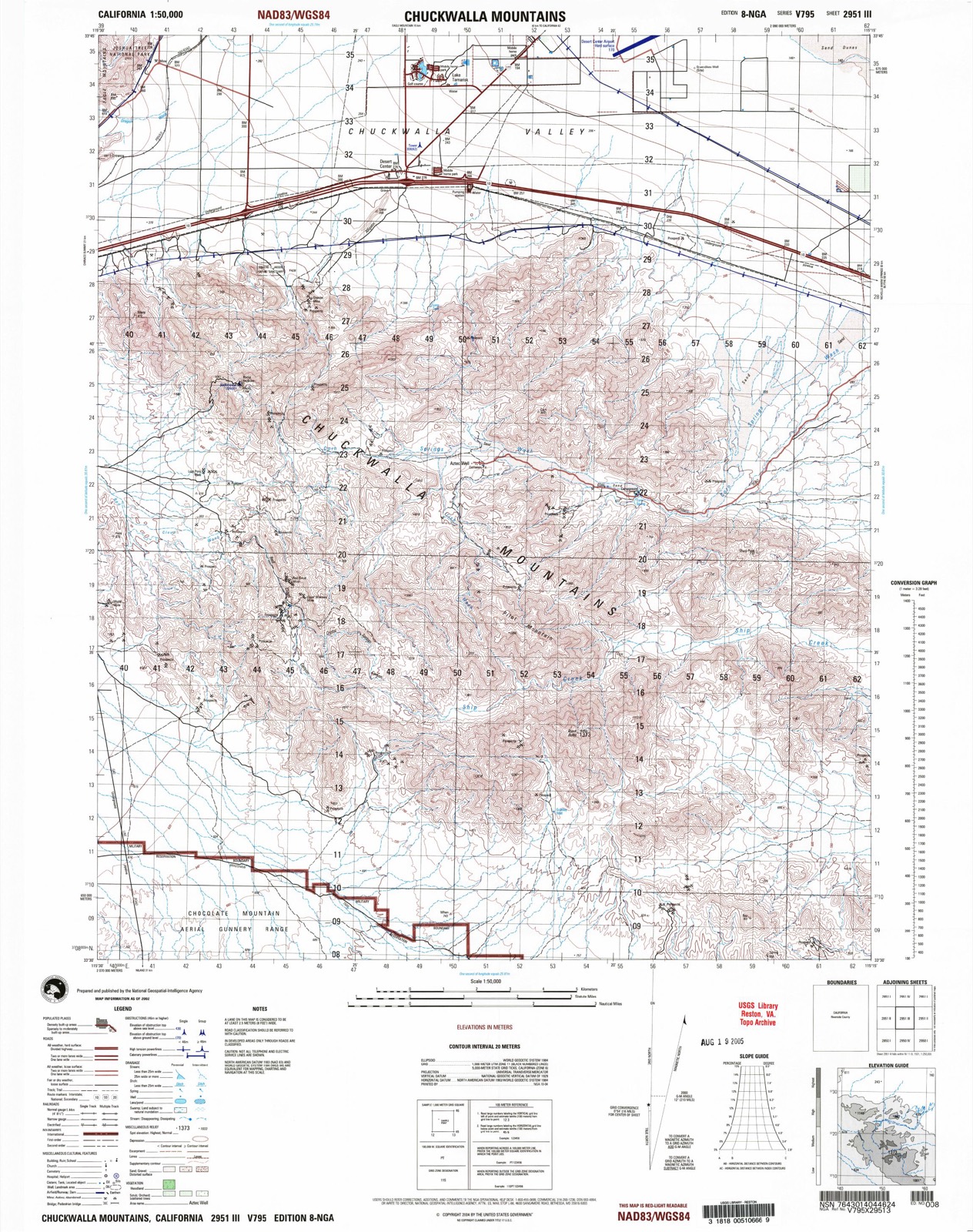
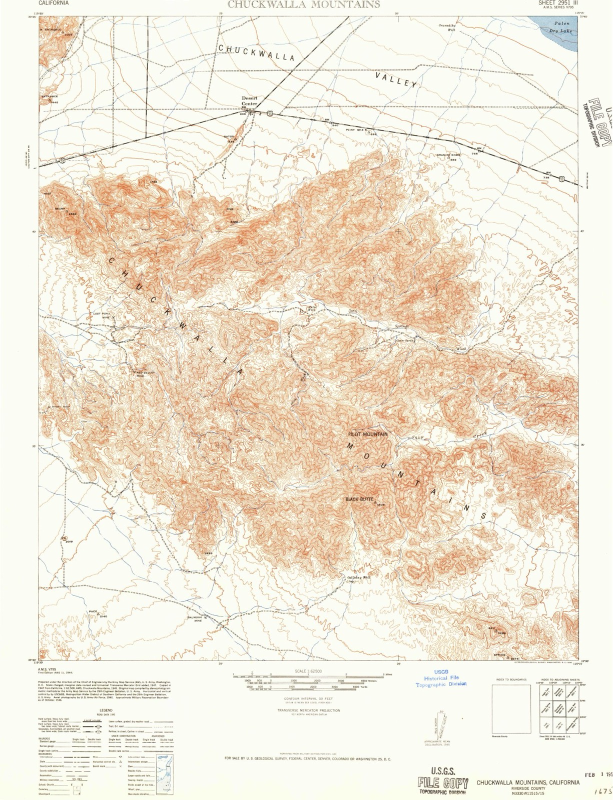
1944 to 2002The same ground, surveyed 58 years apart. Drag the handle to wipe between them. Both sheets are United States Geological Survey originals; neither has been altered.
Population over time
2 figuresDesert Center grew from 204 to 256 between 2010 and 2020. These are the recorded population figures Wikidata holds for this place, reached through the Geographic Names Information System number this page is keyed on rather than by name, so they belong to this place and not to another of the same name. Most are census counts, but not all are: an early figure may be a founding or settlement estimate, and an estimate published within five years of a census is left out. The change column is computed, and is left blank where more than 20 years separate a figure from the one before it, because a gap that long is not a change between two counts.
| Year | People | Change |
|---|---|---|
| 2010 | 204 | |
| 2020 | 256 | +52 (+25%) |
Topographic sheets covering this place
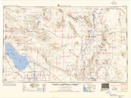
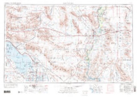
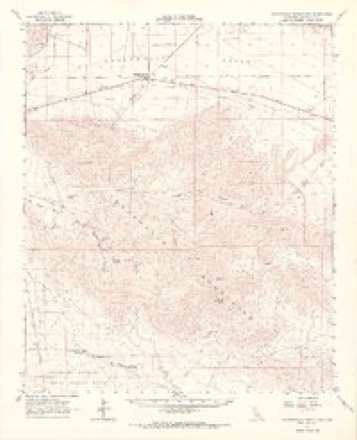
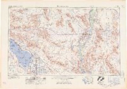
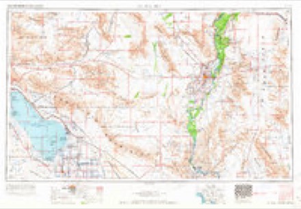
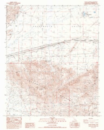
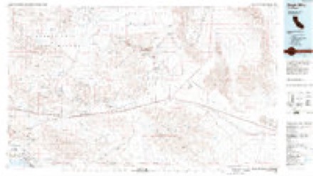
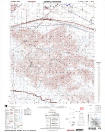
10 surveys from 19 printed sheetsMatched by testing this settlement's coordinate against the published boundary of every sheet in the United States Geological Survey's historical collection. Each opens the scanned sheet at the Survey.
- 1944 USGS Chuckwalla Mountains quadrangle1:62500, 3 printings
- 1954 USGS Salton Sea quadrangle1:250000
- 1955 USGS Salton Sea quadrangle1:250000, 2 printings
- 1959 USGS Salton Sea quadrangle1:250000, 4 printings
- 1963 USGS Chuckwalla Mountains quadrangle1:62500, 3 printings
- 1963 USGS Salton Sea quadrangle1:250000
- 1965 USGS Salton Sea quadrangle1:250000
- 1986 USGS Desert Center quadrangle1:24000
- 1986 USGS Eagle Mountains quadrangle1:100000, 2 printings
- 2002 USGS Chuckwalla Mountains quadrangle1:50000
Fires near this place
35 since 1993Regional context, not property-specific evidence. The federal wildfire occurrence database lists 35 fires within 5 miles of Desert Center between 1993 and 2018, burning about 10 acres in total. 4 started naturally. None was recorded as arson. Distance is straight-line from the map coordinates, so a fire counted here may appear on a neighbouring settlement's page as well.
| Reported cause | Fires |
|---|---|
| Missing data/not specified/undetermined | 18 |
| Equipment and vehicle use | 7 |
| Debris and open burning | 4 |
| Natural | 4 |
| Smoking | 1 |
| Misuse of fire by a minor | 1 |
The most recent of them, most recent first, with the day each was reported and the service that recorded it.
| Date | Cause | Size | Reported by | Name on the report |
|---|---|---|---|---|
| 29 September 2018 | Equipment and vehicle use | under an acre | California Desert District | GHOST |
| 29 September 2018 | Debris and open burning | under an acre | California Department of Forestry & Fire Protection | I 10 W/ DESERT CENTER RI |
| 20 September 2005 | Natural | under an acre | California Desert District | LOCAL IMPROVEMENT |
| 18 September 2003 | Missing data/not specified/undetermined | under an acre | California Desert District | LOCAL FIRE |
| 15 September 1994 | Missing data/not specified/undetermined | under an acre | Riverside Unit | LOCAL#15169 |
| 9 August 2005 | Natural | under an acre | California Desert District | LOCAL FIRE |
| 4 August 2007 | Missing data/not specified/undetermined | under an acre | California Desert District | UNNAMED FIRE 2637 |
| 23 August 1998 | Smoking | under an acre | California Desert District | LOCAL |
Settlements close enough to share some of these fires:
Mines and quarries near this place
10 of 26 shownRegional context, not property-specific evidence. The federal mineral resources record lists 26 workings within 5 miles of Desert Center: 21 prospects, 4 past producers, 1 unknown. None of them still produces. What was taken out: Gold, Silver, Talc-Soapstone. Distance is straight-line from the map coordinates, so a quarry counted here may appear on a neighbouring settlement's page as well.
| Where | Site | Commodity | Status | Recorded |
|---|---|---|---|---|
| H & K Mine | Talc-Soapstone | Past Producer | ||
| Gold King Mine | Gold, Silver | Prospect | ||
| Granite Mine | Gold, Silver | Past Producer | ||
| Lane Mine | Gold, Silver | Prospect | ||
| Red Top Mine | Gold, Silver | Past Producer | ||
| Unnamed Prospect | Gold, Silver | Prospect | ||
| Unnamed Prospect | Gold, Silver | Prospect | ||
| Unnamed Prospect | Gold, Silver | Prospect | ||
| Unnamed Prospects | Gold, Silver | Prospect | ||
| Boulder Claim | Gold | Prospect |
Storms near this place
23 since 1997Regional context, not property-specific evidence. The National Weather Service names Desert Center in 23 storm reports between 1997 and 2024: 15 flash flood, 2 heavy rain, 2 tornado, 2 flood. The reports record 1 injury. Each account below is quoted exactly as the forecast office filed it, from the NOAA Storm Events Database, and each date opens the federal record of that event.
| When | Event | Place named | Harm | What the report says |
|---|---|---|---|---|
| July 2015 | Flash Flood | Desert Center | 1 hurt, $50,000,000 | Aided by lingering tropical moisture from former hurricane Dolores, intense thunderstorms with torrential rain developed near Desert Center during the afternoon hours on July 19th. Based on radar estimates, over 6 inches of rain fell over several hours along and just to the south of Interstate 10, just to the west of Desert Center. According to a trained weather spotter about 4 miles west of Desert Center, the eastbound lanes of Interstate 10 collapsed where they crossed a heavily flowing wash, and one vehicle drove into the hole in the collapsed bridge. The driver became trapped by crushed asphalt and needed to be rescued. The injured driver was extracted from his truck and taken to a local hospital. According to local law enforcement, Interstate 10 was closed in both directions; water was flowing over the highway and the on and off ramps were flooded. Traffic was backed up for miles and needed to be re-routed. Within a short distance of the collapsed bridge, water flowing through a wash and under the freeway severely eroded and compromised the integrity of a second bridge; the second bridge did not collapse however. Interstate 10 will be closed in both directions for quite some time, probably at least one week, as bridges on both sides of the freeway will need to be re-built. A Flash Flood Warning was issued for the area from 1621PST through 1915PST. |
| August 2014 | Flash Flood | Desert Center | $50,000 | Thunderstorms developed across portions of central Riverside county during the late morning hours on August 3rd, and they intensified into the early afternoon. The storms produced heavy rains which led to flash flooding; the most significant flooding affected the Interstate 10 corridor in the area around Desert Center. Flash Flood Warnings were issued for a substantial portion of central Riverside county during the early afternoon hours. According to California Department of Highways personnel, flash flooding 4 miles southeast of Desert Center closed Eagle Mountain road at Mile Marker 192 on Interstate 10. The heavy rain raised up and washed away asphalt on the highway, and spread mud and debris across all of the lanes. This occurred at approximately 1409PST. Also, at 1402PST, flash flooding occurred in Desert Center; State Route 177 was flooded at Mile Marker 105 on Interstate 10 and vehicles were unable to pass. This information was also reported from the Department of Highways. Fortunately, no injuries or accidents were reported due to the flash flooding. |
| September 2011 | Flash Flood | Desert Center | $10,000 | Thunderstorms produced heavy rainfall across portions of central Riverside county, including the area around Desert Center, during the morning hours on September 13. Thunderstorms started in the mid morning, and trained over the same area for several hours. Radar estimated that 3 to 4 inches of rain fell with the storms, and this led to flash flooding. At around 1220 pm, Department of Highways personnel reported that water was flowing across State Route 177 between mile markers 7 and 10. |
| September 2017 | Flash Flood | Desert Center | $5,000 | Scattered to numerous thunderstorms developed across portions of eastern Riverside county, mainly east of Joshua Tree National Park, during the afternoon hours on September 8th. Some of the stronger storms produced very heavy rainfall with peak rain rates in excess of 2 inches per hour. The intense rains led to episodes of flash flooding that primarily affected the Interstate 10 corridor west of Desert Center and through Chiriaco Summit. At 1405PST the California Highway Patrol reported that Interstate 10 was flooded eastbound at Red Cloud. About forty five minutes later at 1450PST the California Highway Patrol reported that Interstate 10 was flooded at Chiriaco Summit. A Flash Flood Warning was then issued but was not in effect when these flooding reports occurred. Fortunately no accidents or injuries occurred as a result of the flash flooding. |
| April 2015 | Tornado (EF0) | Desert Center | $5,000 | Isolated thunderstorms developed across portions of far southeast California, including eastern Riverside county, during the afternoon hours on April 21st. For the most part the storms were not especially strong, however one thunderstorm located about 6 miles north of Desert Center produced a small, rope-like tornado which traveled nearly 10 miles over mostly open country. The tornado was first reported from an aircraft pilot at about 1447PST and local broadcast media later confirmed the tornado with photographs. Additionally, photos and videos from the public showed the tornado, which did not produce any injuries. The tornado did produce modest damage; several windshields were broken from flying rocks and a number of solar panels were destroyed. The tornado was officially confirmed through an NWS remote storm survey and was classified as an EF0 tornado. |
| July 2010 | Lightning | Desert Center | $5,000 | Lightning ignited several trees and started a 10 acre fire. |
| January 2024 | Flood | Desert Center | - | Flooding reported along Highway 177 between Interstate 10 and Highway 62. No damages or injuries reported. |
| August 2023 | Flash Flood | Desert Center | - | Highway 177 north of Desert Center closed due to significant flooding between approximately Mile Markers 13 to 18. No damages or injuries were reported. |
| August 2022 | Flood | Desert Center | - | SR-77 closed in both directions between I-10 and SR-62 due to flooding in multiple locations. No damages or injuries were reported. |
| October 2022 | Flash Flood | Desert Center | - | All washes along SR-177 just north of Desert Center were flooded with Big Wash estimated to have received the most rainfall. Timing estimated from radar. No damages or injuries were reported. |
| August 2022 | Flash Flood | Desert Center | - | Caltrans closed SR-177 in both directions between I-10 and SR-62 due to flooding in multiple locations. Power lines were also down along SR-177. SR-177 was reopened around 0800PST, August 25th. Timing of flooding impacts based on radar. No injuries were reported. |
| August 2022 | Flash Flood | Desert Center | - | SR-177, just north of Desert Center, was closed due to flooding. No damages or injuries were reported. |
| August 2022 | Tornado (EFU) | Desert Center | - | Images and videos showed a nearly stationary landspout over an open area north of Lake Tamarisk Desert Resort in Desert Center. No damage or injuries were reported. |
| September 2021 | Flash Flood | Desert Center | - | Local law enforcement reported road closures in several locations due to flash flooding. This included State Route 177, which was closed between Ragsdale Road and State Route 62. Closures reported at 1755PDT. Timing adjusted based on radar estimated rainfall. No damages or injuries were reported. |
| July 2021 | Flash Flood | Desert Center | - | A trained weather spotter reported several inches of flowing water over the roadway near SR 177 and Kaiser Road. No damage or injuries were reported. |
| August 2016 | Heavy Rain | Desert Center | - | Thunderstorms developed across portions of eastern Riverside County, to the southeast of Joshua Tree National Park, during the afternoon hours on August 31st. Some of the stronger storms produced locally heavy rainfall sufficient to cause episodes of street flooding near the town of Desert Center. At 1525PST, a trained weather spotter in Desert Center reported 4 to 5 inches of water flowing across Kaiser Road near Highway177 in Desert Center. The flooding was not serious enough to be considered flash flooding but did produce hazardous driving conditions for motorists on Kaiser Road. The spotter measured about one quarter of an inch of rain within a 15 minute period. A Small Stream Flood Advisory was issued for the Desert Center vicinity as a result of the locally heavy rain and the street flooding. |
| July 2015 | Flash Flood | Desert Center | - | Scattered thunderstorms developed across portions of eastern Riverside county during the evening hours on July 30th, and the stronger storms produced very heavy rainfall which affected the area around Desert Center. Peak rainfall rates approached 2 inches per hour, and this led to some flooding and flash flooding of washes and roads around Desert Center. Significant amounts of rain fell on Interstate 10 east of Desert Center, and local law enforcement reported flooding over the roads near State Route 177 and Oasis Road at mile marker 2.40. This was approximately 2 miles northeast of the town of Desert Center. No accidents or injuries were reported due to the flash flooding. Law enforcement reported the flash flooding at about 2000PST. |
| July 2012 | Flash Flood | Desert Center | - | Intense thunderstorms developed across much of eastern Riverside county during the morning hours on July 31st. The airmass was very moist and unstable, and the presence of a weather disturbance led to very heavy rainfall. The excessive rain led to episodes of flash flooding, including the area around Desert Center, and a Flash Flood Warning was issued at 1015 am. According to a trained weather spotter in Desert Center, at 1027 am, flash flooding caused Kaiser Road to be underwater, with flood waters threatening Interstate 10 in the area. |
| July 2010 | Heavy Rain | Desert Center | - | Thunderstorms resulted in flooded roads near Queen Valley. |
| July 2001 | Flash Flood | Desert Center | - | Secondary roads closed due to very heavy rainfall. One report indicated 1.90 inches in about 2 hours. |
| September 1998 | Flash Flood | Desert Center | - | Very heavy rain resulted in numerous washes running across roads in Joshua Tree Nattional Park. |
| September 1997 | Flash Flood | Desert Center | - | Slow-moving thunderstorms produced torrential rain near Desert Center. Sheriff's officers reported that parts of Kaiser Road just north of Desert Center were flooded. Sections of Kaiser Road and other roads in the area were washed out. Although there were no rainfall reports, radar data estimated a storm total of nearly four inches. |
| July 2005 | Thunderstorm Wind | Desert Center | - | no account filed |
Nearest settlements
The eight closest, with where each one stands in the county. Distances are straight-line, computed from the Geographic Names Information System coordinates.
| Map | Place | Distance | Sheets |
|---|---|---|---|
| Lake Tamarisk | 1.9 miles | 19 | |
| Eagle Mountain | 11.0 miles | 17 | |
| Hayfield | 12.3 miles | 20 | |
| Chiriaco Summit | 17.3 miles | 20 | |
| Rancho Dos Palmas | 27.1 miles | 21 | |
| Cactus City | 29.9 miles | 19 | |
| Ferrum | 30.0 miles | 21 | |
| Durmid | 30.0 miles | 21 |
Elsewhere
Matched on this settlement's Geographic Names Information System number rather than its name, so it cannot be a different place of the same name in another state.
| Wikipedia article on Desert Center | An encyclopaedic summary. Its text is share-alike, so it is linked here rather than copied. |
| Wikidata item Q2361618 | The structured record the population and elevation above come from. Public domain (CC0). |
Provenance
This settlement is recorded in the Geographic Names Information System as feature 241429. The sheet list is computed by point-in-boundary test against the United States Geological Survey's historical topographic inventory. Both are works of the United States government and carry no copyright under 17 U.S.C. 105.
Wildfire. Short, Karen C. 2022. Spatial wildfire occurrence data for the United States, 1992-2020 [FPA_FOD_20221014]. 6th Edition. Fort Collins, CO: Forest Service Research Data Archive. https://doi.org/10.2737/RDS-2013-0009.6 Collected with United States Government funding and usable without additional permissions or fees.
Mines and quarries. USGS Mineral Resources Data System (MRDS) https://mrdata.usgs.gov/mrds/ A work of the United States government, no copyright under 17 U.S.C. 105.
Storms. NOAA National Centers for Environmental Information, Storm Events Database https://www.ncei.noaa.gov/stormevents/ A work of the United States government, no copyright under 17 U.S.C. 105. Narratives are quoted verbatim from the National Weather Service report and are not edited or summarised.