 Block
Seibert, Colorado
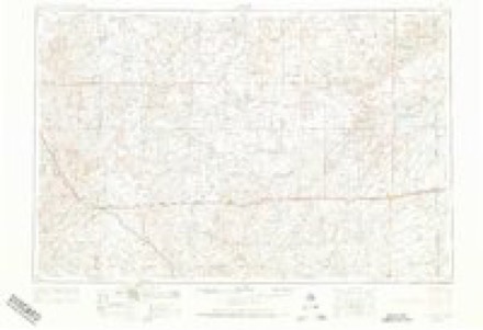
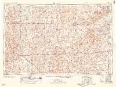
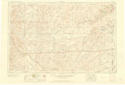
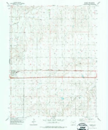
8 topographic sheets cover this place, the earliest surveyed in 1954 and the latest in 1981. It stands in the Flagler census division. It lies in ZIP code area 80834. The Survey maps it on the Seibert quadrangle. 172 people lived here at the 2020 count. It stands 4,711 feet above sea level.
Population over time
2 figuresSeibert fell from 181 to 172 between 2010 and 2020. These are the recorded population figures Wikidata holds for this place, reached through the Geographic Names Information System number this page is keyed on rather than by name, so they belong to this place and not to another of the same name. Most are census counts, but not all are: an early figure may be a founding or settlement estimate, and an estimate published within five years of a census is left out. The change column is computed, and is left blank where more than 20 years separate a figure from the one before it, because a gap that long is not a change between two counts.
| Year | People | Change |
|---|---|---|
| 2010 | 181 | |
| 2020 | 172 | -9 (-5%) |
Topographic sheets covering this place
5 surveys from 8 printed sheetsMatched by testing this settlement's coordinate against the published boundary of every sheet in the United States Geological Survey's historical collection. Each opens the scanned sheet at the Survey.
- 1954 USGS Limon quadrangle1:250000, 4 printings
- 1957 USGS Limon quadrangle1:250000
- 1958 USGS Limon quadrangle1:250000
- 1980 USGS Seibert quadrangle1:24000
- 1981 USGS Burlington quadrangle1:100000
Fires near this place
2 since 2011Regional context, not property-specific evidence. The federal wildfire occurrence database lists 2 fires within 5 miles of Seibert in 2011, burning under an acre in total. None started naturally. None was recorded as arson. Distance is straight-line from the map coordinates, so a fire counted here may appear on a neighbouring settlement's page as well.
| Reported cause | Fires |
|---|---|
| Missing data/not specified/undetermined | 2 |
The most recent of them, most recent first, with the day each was reported and the service that recorded it.
| Date | Cause | Size | Reported by | Name on the report |
|---|---|---|---|---|
| 1 August 2011 | Missing data/not specified/undetermined | under an acre | Colorado State Forest Service-State Headquarters | SEIBERT |
| 25 December 2011 | Missing data/not specified/undetermined | under an acre | Colorado State Forest Service-State Headquarters | SEIBERT |
Storms near this place
60 of 155 shownRegional context, not property-specific evidence. The National Weather Service names Seibert in 155 storm reports between 1994 and 2026: 111 hail, 18 thunderstorm wind, 17 tornado, 6 flash flood. No death or injury is recorded in these reports. Each account below is quoted exactly as the forecast office filed it, from the NOAA Storm Events Database, and each date opens the federal record of that event.
| When | Event | Place named | Harm | What the report says |
|---|---|---|---|---|
| July 2018 | Thunderstorm Wind | Seibert | $250,000 | A number of buildings in Seibert sustained damage. The post office roof had roughly half the shingles blown off. One machine shed was completely destroyed, with the foundation blown clean. A second machine shed, that was built using concrete blocks, only had a third of the roof blown off. A building in town had the entire roof blown off. A pine tree was uprooted and resting on the house next to it. A small machine shed was flipped over and blown onto a road in town. There were also many homes with vinyl siding destroyed on the windward side of the home from the hail and wind. |
| July 2010 | Hail | Seibert | $100,000 | Newspaper reports later described many vehicles on Hwy 24 and Interstate 70 suffering broken windshields and body damage. Hail also damaged crops in the area and the storm resulted in heavy runoff for a period of time. |
| June 2015 | Tornado (EF2) | Seibert | $29,500 | A shed in an old stock yard was destroyed as well as two empty grain bins in the stock yard. At least one anchor for the bins was pulled out of the ground. Debris from the bins was found as far away as a half mile north on Road 12, which was northwest of where the bins were originally located. Some of the panels in the stock yard were also damaged. The general debris pattern was from southeast to northwest. In addition, three power poles were snapped near the old stock yard and three more to the northwest along Road 12. |
| July 2010 | Thunderstorm Wind | Seibert | $25,000 | Large pickup towing a long, flatbed trailer was blown over on Interstate 70 blocking the west bound lanes. |
| July 2007 | Tornado (EF1) | Seibert | $15,000 | Tornado developed near roads AA, 13 and dissipated near roads BB, 14. One electric pole was broken and metal debris from a grain bin was also seen. Several dead cattle were reported in the same area. This tornado was one of two observed simultaneously. |
| July 2007 | Tornado (EF0) | Seibert | $15,000 | Tornado developed near roads AA, 13 and dissipated near roads AA, 14. This tornado was one of two observed simultaneously. Over open fields...no known damage. |
| July 2009 | Hail | Seibert | $10,000 | A slow-moving storm brought a prolonged period of large hail about 15 miles north of Seibert, Colorado. Cars were dented and shingles damaged. This event was reported by both the general public and a nearby cooperative observer. |
| April 2019 | Thunderstorm Wind | Seibert | $5,000 | A semi trailer was blown on its side on I-70. |
| April 2026 | Tornado (EFU) | Seibert | - | A landspout tornado was observed near state highway 59 north of CR MM. No damage occurred due to the landspout remaining in a field. The storm chaser said there may have been more than one brief landspout form, but did not confirm that information. |
| June 2025 | Hail | Seibert | - | Pea to penny size hail, light accumulation occurred. |
| June 2025 | Hail | Seibert | - | Chaser reported accumulating ping pong ball sized hail near the intersection of County Roads DD and 11. |
| June 2025 | Thunderstorm Wind | Seibert | - | Storm chaser estimates 60 MPH winds south of Seibert. |
| June 2025 | Hail | Seibert | - | Hail, up to 1.75 inches, was accumulating and about 3-4 inches deep. |
| July 2024 | Hail | Seibert | - | Pea to golf ball sized hail fell over a duration of five minutes. |
| July 2023 | Hail | Seibert | - | At 1:39PM MDT, report received that a few baseball sized hailstones fell at location. Hail averaged between one-quarter to three-quarters of an inch in diameter and began about 30-45 minutes ago at location. Time is based on radar imagery and report information. |
| July 2023 | Hail | Seibert | - | Report received of a lot of golf ball sized hail falling at location. |
| July 2023 | Hail | Seibert | - | Spotter reported hail up to pennies in size at location. |
| June 2023 | Hail | Seibert | - | Off duty NWS employee reported dime size hail. |
| June 2023 | Tornado (EFU) | Seibert | - | Several groups of storm chasers north of Seibert filmed a brief tornado occurring. Based on their approximate location with radar data, the tornado should have occurred just west of CR 13 between CR AA and CR CC. No damage was observed with the 25 second tornado. |
| June 2023 | Hail | Seibert | - | Trained spotter reports hail up to golf ball size. |
| August 2023 | Thunderstorm Wind | Seibert | - | A Trained Spotter in Seibert estimated 60 mph wind gusts as a storm moved east. |
| August 2022 | Hail | Seibert | - | The hail ranged from pea to quarter in size. |
| May 2021 | Hail | Seibert | - | Sheriff reported hail ranging from quarter to golf ball size near location. Time is estimated from radar. |
| May 2021 | Hail | Seibert | - | Report received of hail ranging from pea to quarter size with most being near nickel size at location. |
| August 2021 | Hail | Seibert | - | Report received of pea to quarter sized hail at location. Time is radar-estimated. |
| June 2020 | Hail | Seibert | - | Dime to penny sized hail reported. |
| August 2020 | Hail | Seibert | - | Pea to quarter sized hail reported at location that lasted 10 minutes. |
| April 2019 | Thunderstorm Wind | Seibert | - | Sustained winds of 58 MPH were also measured during the peak wind gust. |
| July 2018 | Hail | Seibert | - | The hail report was in I-70 near Flagler. |
| July 2018 | Hail | Seibert | - | The hail was at least two inches in diameter. |
| May 2018 | Tornado (EF0) | Seibert | - | This tornado moved into the northwestern fringe of Kit Carson County from Washington County. The tornado was moving south and ended in an open field a couple minutes after moving into Kit Carson County. The tornado crossed the county line between CR TT and CR 0 of Washington County and CR 12 and CR 0 of Kit Carson County. No damage was reported with this tornado. |
| May 2018 | Tornado (EF0) | Seibert | - | A tornado was visible five or more miles away from their location. No damage was reported with this tornado. |
| May 2018 | Tornado (EF0) | Seibert | - | This was two of three tornadoes that were ongoing at the same time. The tornado started northeast of the CR MM and CR 10 intersection, crossed CR MM as it headed south. The tornado dissipated near CR LL. Estimated the end time of the tornado based on pictures taken of it. No damage was reported with this tornado. |
| May 2017 | Hail | Seibert | - | The hail was mostly pea size with a few large hail stones mixed in. |
| May 2017 | Flash Flood | Seibert | - | CoCoRaHS site observer reported 1.22 inches of rain in the past 2 hours with unusual levels of flooding in the area. |
| August 2017 | Hail | Seibert | - | Hail slightly larger than quarters, according to the picture, occurred,. |
| April 2016 | Hail | Seibert | - | First few hailstones were flat in appearance. Close to 80% of the ground was covered with hail ranging from pea size to nickel size. |
| May 2016 | Hail | Seibert | - | The hail started out as pea size. |
| May 2016 | Tornado (EF0) | Seibert | - | A tornado was reported north of Seibert. Based on radar imagery at the time of the report the tornado developed near the CR Z and Highway 59 intersection on the east side of the highway. The tornado then moved north-northeast before ending northeast of the CR DD and CR 16 intersection. No damage was reported with this tornado due to moving over open country. |
| September 2016 | Flash Flood | Seibert | - | A portion of CR L near the CR L/Highway 59 intersection was washed out from the rainfall. |
| May 2016 | Thunderstorm Wind | Seibert | - | The wind occurred at the same time as the quarter size hail. |
| July 2016 | Hail | Seibert | - | A coop observer traveling through the area reported nickel size hail covering the ground. However quarter size hail was reported in Seibert, and on I-70 near mile marker 405 tennis ball size hail was reported and was responsible for many drivers losing car windows. |
| July 2016 | Hail | Seibert | - | Estimated time of the report from radar. |
| July 2015 | Hail | Seibert | - | A few quarter size hail stones were reported along with dime to nickel size hail. |
| July 2015 | Thunderstorm Wind | Seibert | - | Power lines blown down and water standing in fields. Estimated time of report from radar. |
| June 2015 | Hail | Seibert | - | Average hail was the size of a nickel. |
| May 2014 | Hail | Seibert | - | A brief period of penny size hail was reported by the spotter. |
| May 2014 | Hail | Seibert | - | Hail ranging in size from quarters to ping-pong balls occurred just east of mile marker 53 on Highway 59 or about 12 miles north of Seibert. |
| May 2014 | Hail | Seibert | - | The hail lasted 5 minutes and damaged shingles. |
| July 2014 | Flash Flood | Seibert | - | Extreme rainfall rates of 2.5 inches per hour resulted in flash flooding where Hell Creek crosses Road 17 near Road JJ. This location is about 13 miles north of Seibert. Several feet of water was noted over Road 17. |
| July 2014 | Flood | Seibert | - | Earlier flash flooding at this location took several more hours for water to recede. The following day the road was no longer covered with water but was still impassible due to muddy conditions. |
| June 2014 | Hail | Seibert | - | Hail damaged shingles and broke car windows. In addition, 0.45 inches of rain fell in 6 minutes. |
| May 2013 | Hail | Seibert | - | Spotter found hail slightly larger than quarters on his deck when he came home. Estimated time of report from radar. |
| May 2013 | Hail | Seibert | - | Drifts of hail reported in town. |
| June 2013 | Hail | Seibert | - | Wind gusts estimated to be 50 MPH with the storm. |
| June 2012 | Hail | Seibert | - | The hail was observed at mile marker 400 on Interstate 70 near Seibert. |
| September 2012 | Hail | Seibert | - | The hail was reported to be 2 inches deep on Highway 24. |
| September 2012 | Heavy Rain | Seibert | - | The observer at Seibert measured 3.35 inches for the 24 hour rainfall ending at 9 AM MDT with small hail. |
| July 2011 | Thunderstorm Wind | Seibert | - | Public estimated peak wind gusts to be 65 mph. |
| June 2011 | Thunderstorm Wind | Seibert | - | Peak wind gusts were estimated to be near 70 mph. |
Nearest settlements
The eight closest, with where each one stands in the county. Distances are straight-line, computed from the Geographic Names Information System coordinates.
| Map | Place | Distance | Sheets |
|---|---|---|---|
| Vona | 6.7 miles | 8 | |
| Flagler | 10.5 miles | 8 | |
| Stratton | 14.0 miles | 8 | |
| Tuttle (historical) | 23.4 miles | 11 | |
| Bethune | 23.6 miles | 11 | |
| West Burlington | 29.7 miles | 10 | |
| Burlington | 31.8 miles | 10 | |
| Peconic | 38.2 miles | 10 |
Elsewhere
Matched on this settlement's Geographic Names Information System number rather than its name, so it cannot be a different place of the same name in another state.
| Wikipedia article on Seibert | An encyclopaedic summary. Its text is share-alike, so it is linked here rather than copied. |
| Wikidata item Q935077 | The structured record the population and elevation above come from. Public domain (CC0). |
Provenance
This settlement is recorded in the Geographic Names Information System as feature 195118. The sheet list is computed by point-in-boundary test against the United States Geological Survey's historical topographic inventory. Both are works of the United States government and carry no copyright under 17 U.S.C. 105.
Wildfire. Short, Karen C. 2022. Spatial wildfire occurrence data for the United States, 1992-2020 [FPA_FOD_20221014]. 6th Edition. Fort Collins, CO: Forest Service Research Data Archive. https://doi.org/10.2737/RDS-2013-0009.6 Collected with United States Government funding and usable without additional permissions or fees.
Storms. NOAA National Centers for Environmental Information, Storm Events Database https://www.ncei.noaa.gov/stormevents/ A work of the United States government, no copyright under 17 U.S.C. 105. Narratives are quoted verbatim from the National Weather Service report and are not edited or summarised.