 Block
South Farms, Connecticut
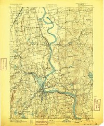
36 topographic sheets cover this place, the earliest surveyed in 1893 and the latest in 1994. It stands in Middletown town. It lies in ZIP code area 06457. It stands on Long Hill Brook. The Survey maps it on the Middletown quadrangle.
On record in South Farms
Buildings and businesses the archive holds for this place. Each opens its own page, with the source record it came from.
On the National Register within a mile 12 of 22 shown
The National Register names another town for these. They stand within one mile of this settlement's coordinate.
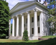 Samuel Wadsworth Russell HouseNational Historic Landmark · listed 1970 · 0.7 miles away
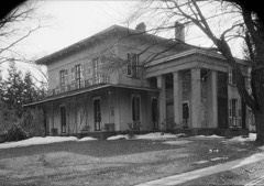 Richard IV Alsop HouseNational Historic Landmark · listed 1970 · 0.7 miles away
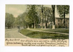 Middletown South Green Historic Districtlisted 1975 · 0.3 miles away
 Sanseer Milllisted 1986 · 0.3 miles away
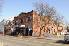 Metro South Historic Districtlisted 1980 · 0.4 miles away
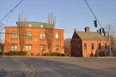 Wilcox, Crittenden Milllisted 1986 · 0.5 miles away
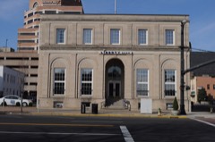 U.S. Post Officelisted 1982 · 0.5 miles away
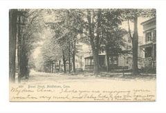 Broad Street Historic Districtlisted 1988 · 0.6 miles away
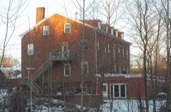 Middletown Alms Houselisted 1982 · 0.6 miles away
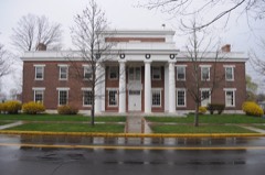 Eclectic House, Thelisted 2013 · 0.6 miles away
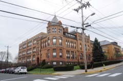 Old Middletown High Schoollisted 1985 · 0.6 miles away
 Xi Chapter, Psi Upsilon Fraternitylisted 2009 · 0.6 miles away
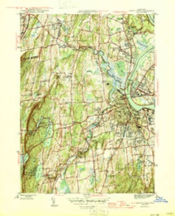
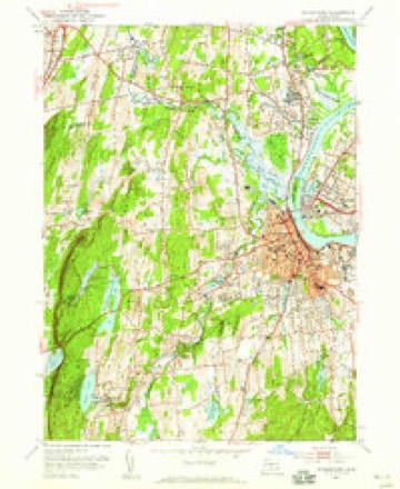
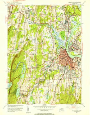
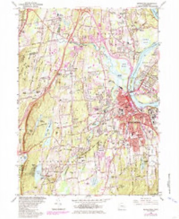
Topographic sheets covering this place
14 surveys from 36 printed sheetsMatched by testing this settlement's coordinate against the published boundary of every sheet in the United States Geological Survey's historical collection. Each opens the scanned sheet at the Survey.
- 1893 USGS Middletown quadrangle1:62500, 10 printings
- 1906 USGS Farmington quadrangle1:125000, 2 printings
- 1928 USGS Cromwell quadrangle1:24000
- 1945 USGS Middletown quadrangle1:31680, 2 printings
- 1947 USGS Hartford quadrangle1:250000, 2 printings
- 1948 USGS Hartford quadrangle1:250000, 2 printings
- 1952 USGS Middletown quadrangle1:24000
- 1952 USGS Middletown quadrangle1:31680, 2 printings
- 1961 USGS Hartford quadrangle1:250000
- 1962 USGS Hartford quadrangle1:250000, 3 printings
- 1965 USGS Hartford quadrangle1:250000, 2 printings
- 1965 USGS Middletown quadrangle1:24000, 5 printings
- 1986 USGS Hartford quadrangle1:100000
- 1994 USGS Hartford quadrangle1:100000, 2 printings








In the county-history sources
26,473 words on this townshipHistory of Middlesex County, Connecticut, with Biographical Sketches of Its Prominent Men, published 1884 names this settlement in its chapter on Middletown Town. These are the passages that mention it, exactly as the scans read.
Combs. - The manufacture of bone and ivory combs, which some wag denominated "down-east cultivators," was commenced by Ulysses and Julius Pratt, in Potapaug (now Essex) about 1812 or 1814. It was evidently a profitable business, for other factories sprung up in other parts of the country; among these was the factory of Hinsdale & Pratt, established on Miller's Brook, South Farms, in 1817. At a later period another factory was
Passage source: History of Middlesex County, Connecticut, with Biographical Sketches of Its Prominent Men, published 1884.
In 1834 the Russell Manufacturing Company was organized, with a capital of $100,000. The incorporators were Samuel Russell, Samuel D. Hubbard, George Spaulding, and others. The first officers were: Samuel Russell, president ; George Spaulding, secretary; and Samuel D. Hubbard, treasurer. The company purchased of Mr. Samuel D. Hubbard the mill site and other property on that part of the Pameacha River now known as the Sanseer River, at South Farms, near the old mill privilege granted by the town of Middletown to Thomas Miller, in 1655. A large brick mill, 80x30 feet, 3 stories high, was erected, and the machinery from the factory of Spaulding & Collis was transferred to the new factory. In 1836 Hon. Henry G. Hubbard (nephew of Samuel D. Hubbard), then but 21 years of age, was invited by the company to join with his uncle in the management of its affairs. For the first few years the business was not successful; but Mr. Henry G. Hubbard having acquired a thorough practical knowledge of the business, he bent all his energies to make it a success. In 1841 he commenced the manufacture of elastic web, which had never before been attempted except on hand looms, a single thread at a time. He obtained the services of a Scotch weaver and soon after invented machinery to weave the web in power looms. This was the first successful effort
Passage source: History of Middlesex County, Connecticut, with Biographical Sketches of Its Prominent Men, published 1884.
In 1850 Mr. Hubbard purchased his uncle's interest, and not long afterward that of Mr. Samuel Russell. He continued to make further improvements from year to year. As the business increased new buildings were erected and other mill privileges purchased. There are now six large mills in successful operation; three of these at South Farms, viz., two weaving and one spinning mill, a spinning mill at Rockfall, in the town of Middlefield, a weaving mill at Staddle Hill, and a spinning mill at Higganum. These are run -both by water and steam power. The three spinning mills contain 15,000 spindles which consume 3,100 bales of cotton per year, producing 1,200,000 pounds of double and twisted yarn. This thread goes into the dye house at South Farms, where the various colors are produced. It is thence distributed to the weaving mills, where it goes through the process of winding and warping, and is then sent to the looms. There are 400 looms and 5.°°° shuttles weaving elastic and non-elastic webbing of almost every variety and pattern. Suspender webbing, exquisitely wrought in silk in the most elaborate designs, is all produced by machinery as perfect in its movements as clock work. The sales in this line of goods for 1883 were upwards of $800,000 and for other goods over f 100,000.
Passage source: History of Middlesex County, Connecticut, with Biographical Sketches of Its Prominent Men, published 1884.
Machine-read from a century-old scan, so expect the errors a machine makes: misspelled names, dropped words, stray characters.
Read the whole chapter on Middletown Town - it names this place 2 more 2 times.
Fires near this place
89 since 1992Regional context, not property-specific evidence. The federal wildfire occurrence database lists 89 fires within 5 miles of South Farms between 1992 and 2020, burning about 118 acres in total. None started naturally. 6 were recorded as arson. Distance is straight-line from the map coordinates, so a fire counted here may appear on a neighbouring settlement's page as well.
| Reported cause | Fires |
|---|---|
| Missing data/not specified/undetermined | 46 |
| Debris and open burning | 16 |
| Recreation and ceremony | 10 |
| Smoking | 6 |
| Arson/incendiarism | 6 |
| Equipment and vehicle use | 2 |
| Power generation/transmission/distribution | 1 |
| Misuse of fire by a minor | 1 |
| Other causes | 1 |
The most recent of them, most recent first, with the day each was reported and the service that recorded it.
| Date | Cause | Size | Reported by | Name on the report |
|---|---|---|---|---|
| 30 September 2007 | Debris and open burning | under an acre | Connecticut Division of Forestry | not named |
| 26 September 2017 | Missing data/not specified/undetermined | under an acre | Connecticut Division of Forestry | 810 SAYBROOK RD. |
| 20 September 2015 | Missing data/not specified/undetermined | under an acre | Connecticut Division of Forestry | not named |
| 17 September 2017 | Missing data/not specified/undetermined | under an acre | Connecticut Division of Forestry | 600 MERIDEN RD. |
| 8 August 2020 | Power generation/transmission/distribution | under an acre | Connecticut Division of Forestry | OXBOW RIDGE ROAD/OXBOW ROAD |
| 5 August 2007 | Missing data/not specified/undetermined | 1.0 acres | Connecticut Division of Forestry | not named |
| 31 August 1995 | Recreation and ceremony | under an acre | Connecticut Division of Forestry | not named |
| 30 August 1995 | Recreation and ceremony | under an acre | Connecticut Division of Forestry | not named |
Settlements close enough to share some of these fires:
Mines and quarries near this place
10 of 56 shownRegional context, not property-specific evidence. The federal mineral resources record lists 56 workings within 5 miles of South Farms: 46 past producers, 5 producers, 3 prospects, 1 occurrence. 6 still produce. What was taken out: Feldspar, Stone, Dimension, Stone, Beryllium, Mica. Distance is straight-line from the map coordinates, so a quarry counted here may appear on a neighbouring settlement's page as well.
| Where | Site | Commodity | Status | Recorded |
|---|---|---|---|---|
| Governor Winthrops Mine | Gold | Past Producer | ||
| Hale-Walker Beryl Prospect and Feldspar Mine | Beryllium, Tantalum, Niobium (Columbium), Feldspar | Past Producer | 1932 | |
| Middletown Lead-Silver Mine | Silver, Lead | Past Producer | 1776 | |
| Middletown Lead-Silver Mine | Lead, Stone | Past Producer | ||
| Middletown Mine | Barium-Barite, Lead, Zinc | Past Producer | ||
| No Name Given | Nickel, Cobalt | Past Producer | Niccolite | |
| Strickland-Cramer Feldspar-Mica Quarries | Tantalum, Niobium (Columbium), Beryllium, Mica, REE, Feldspar | Past Producer | 1907 | |
| Strickland-Cramer Quarry | Mica, Feldspar, Tin | Past Producer | 1900 | |
| Tollgate Mica-Feldspar Mine | Niobium (Columbium), Feldspar, Mica, Tantalum | Past Producer | Pegmatite Dike | |
| Basalt Rock Quarry No. Cj-071 | Stone, Crushed/Broken | Past Producer | Basalt |
Storms near this place
5 since 2009Regional context, not property-specific evidence. The National Weather Service names South Farms in 5 storm reports between 2009 and 2021: 4 flash flood, 1 thunderstorm wind. No death or injury is recorded in these reports. Each account below is quoted exactly as the forecast office filed it, from the NOAA Storm Events Database, and each date opens the federal record of that event.
| When | Event | Place named | Harm | What the report says |
|---|---|---|---|---|
| July 2009 | Thunderstorm Wind | South Farms | $1,000 | Wires were reported down at 177 Randolph Road. |
| July 2021 | Flash Flood | South Farms | - | Lee Street, Paddock Road, and Lyceum Road in Portland were closed due to flooding. |
| September 2018 | Flash Flood | South Farms | - | Route 155 was closed between Lee Street and Millbrook road in Middletown due to flood waters. |
| August 2016 | Flash Flood | South Farms | - | Randolph Road closed due to flooding in Lakeridge Heights. |
| August 2016 | Flash Flood | South Farms | - | Route 9 was flooded between Exit 11 and Exit 12 in South Farms. |
Nearest settlements
The eight closest, with where each one stands in the county. Distances are straight-line, computed from the Geographic Names Information System coordinates.
| Map | Place | Distance | Sheets |
|---|---|---|---|
| Middletown | 0.7 miles | 36 | |
| Bretton Heights | 1.1 miles | 36 | |
| Portland | 1.3 miles | 36 | |
| Newfield Heights | 1.7 miles | 36 | |
| Long Hill | 1.8 miles | 36 | |
| Long HIll Estates | 2.1 miles | 36 | |
| Lakeridge Heights | 2.3 miles | 36 | |
| Cromwell | 2.8 miles | 36 |
Provenance
This settlement is recorded in the Geographic Names Information System as feature 210988. The sheet list is computed by point-in-boundary test against the United States Geological Survey's historical topographic inventory. Both are works of the United States government and carry no copyright under 17 U.S.C. 105.
Wildfire. Short, Karen C. 2022. Spatial wildfire occurrence data for the United States, 1992-2020 [FPA_FOD_20221014]. 6th Edition. Fort Collins, CO: Forest Service Research Data Archive. https://doi.org/10.2737/RDS-2013-0009.6 Collected with United States Government funding and usable without additional permissions or fees.
Mines and quarries. USGS Mineral Resources Data System (MRDS) https://mrdata.usgs.gov/mrds/ A work of the United States government, no copyright under 17 U.S.C. 105.
Storms. NOAA National Centers for Environmental Information, Storm Events Database https://www.ncei.noaa.gov/stormevents/ A work of the United States government, no copyright under 17 U.S.C. 105. Narratives are quoted verbatim from the National Weather Service report and are not edited or summarised.