 Block
Hockanum, Connecticut
37 topographic sheets cover this place, the earliest surveyed in 1893 and the latest in 1994. It stands in East Hartford town. It lies in ZIP code area 06118. It stands on Pewterpot Brook. The Survey maps it on the Hartford South quadrangle.
On record in Hockanum
Buildings and businesses the archive holds for this place. Each opens its own page, with the source record it came from.
On the National Register within a mile 2 records
The National Register names another town for these. They stand within one mile of this settlement's coordinate.
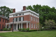 Selden Brewer Houselisted 1979 · 0.0 miles away
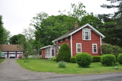 Naubuc Avenue-Broad Street Historic Districtlisted 1998 · 0.9 miles away
Topographic sheets covering this place
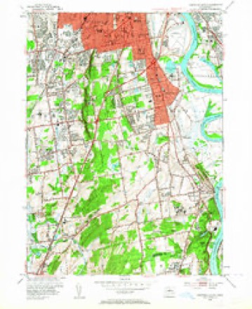
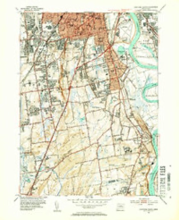
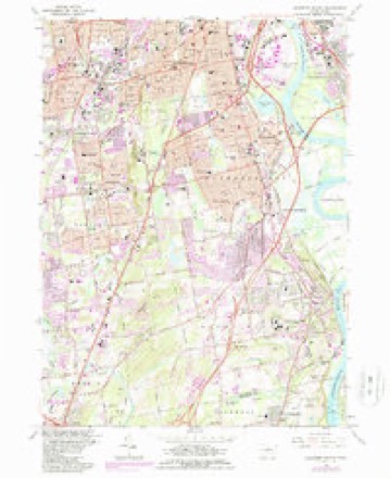
13 surveys from 37 printed sheetsMatched by testing this settlement's coordinate against the published boundary of every sheet in the United States Geological Survey's historical collection. Each opens the scanned sheet at the Survey.
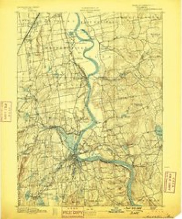
- 1893 USGS Middletown quadrangle1:62500, 10 printings
- 1906 USGS Farmington quadrangle1:125000, 2 printings
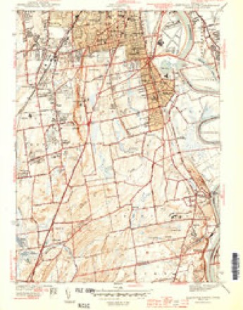
- 1944 USGS Hartford South quadrangle1:31680, 3 printings
- 1947 USGS Hartford quadrangle1:250000, 2 printings
- 1948 USGS Hartford quadrangle1:250000, 2 printings
- 1952 USGS Hartford South quadrangle1:24000, 2 printings
- 1952 USGS Hartford South quadrangle1:31680, 2 printings
- 1961 USGS Hartford quadrangle1:250000
- 1962 USGS Hartford quadrangle1:250000, 3 printings
- 1964 USGS Hartford South quadrangle1:24000, 5 printings
- 1965 USGS Hartford quadrangle1:250000, 2 printings
- 1986 USGS Hartford quadrangle1:100000
- 1994 USGS Hartford quadrangle1:100000, 2 printings








In the county-history sources
8,320 words on this townshipThe Memorial History of Hartford County, Connecticut, 1633-1884;, published 1886 names this settlement in its chapter on East Hartford Town. These are the passages that mention it, exactly as the scans read.
The Podunks, mainly friendly to the English, became disaffected in 1675, and joined Philip in his hopeless attempt to exterminate the white men, and few of them ever returned to this neighborhood. At this time grim dangers surrounded the young colony. The people were ordered into garrisons, - in our borders at Thomas Burnham's in Podunk, and at Mr. John Crow's on the meadow hill near the southmeadow road The enemy came into Hockanum and sorely wounded William Hills, and scouting-parties were sent out to find the enemy. Some of our residents were engaged in the Narragansett war, Obadiah Wood receiving a wound. A few only of the Podunks remained upon their reservation in 1677, and the Court divided the land between them. These after a time sold out their interests, which appear to have been wholly in the meadows, and in 1723 the record speaks of the last claimant to their lands De Forest says a fragment of the tribe was living on the Hockanum in 1745, but in 1760 had disappeared, merging into the Pequots or the tribes in the western part of the State. Stories of later visits from Indian families, returning for a time to camp in this neighborhood, however, remain. The assault on Deerfield in 1704 led to renewed precautions against the Indians. Four forts were ordered to be built on this side the Great River. Of these, one was erected near Mr. William Pitkin's on the meadow hill, looking toward Hartford ; but it was the subject of no assault.
Passage source: The Memorial History of Hartford County, Connecticut, 1633-1884;, published 1886.
One of the first roads laid out through the toAvn ran along the edge of the meadow hill, fording the Hockanum at a convenient point not far from the mouth of the present Gulf. Part only of this road is in use to-day. The meadow hill commands a view of Hartford, and was the site of most of the earlier houses. A road from the Connecticut River crossed the meadows to the above-described road, and is the present north-meadow road. From the earliest settlement a road extended northward through the meadows to Podunk and Windsor. Main Street was laid out in 1670. It had no bridge over the Hockanum until the year 1700. Others of our principal roads were not formally made town roads until a later date, though many of them were early used. The road eastward to the mills (now Burnside Avenue) was not laid out until 1722, but was used from the first settlement. Silver Lane was laid out in 1728, but was a thoroughfare earlier. The
Passage source: The Memorial History of Hartford County, Connecticut, 1633-1884;, published 1886.
The petition of the inhal)itants asking for the " liberty of a minister" among them was dated May, 1694, and in October of that year permission was given. The society was known as the Third Ecclesiastical Society of Hartford, and included all of the town of Hartford on this side the Great River, - now the towns of East Hartford and Manchester. All persons living on this side were to pay their rates toward its maintenance. The earliest preserved record of a meeting is of one held Dec. 29, 1699, wdien a committee was appointed " to see about the meeting-house" - probably already begun. A rate of threepence in the pound was laid, - one penny payalde in corn, the rest in work if any chose. The meetinii-house was built on a little hill which once hlled the triangle formed by the roads at the north end of the Hockanum causeway. It was not fully completed for several years. In 1707 a rate of <£45 was voted for -' seating- and sealing- " the meeting-house, two thirds payable in timber delivered at the water side of the meeting-house. In 1713 galleries were built, and in 1718 four green casements ordered for the south windows. The structure was very plain, and was used until about 1740. A minister's house was begun in 1699, and a rate of £200 was laid to com]:)leto it. It was built on the west side of Main Street, not far from the meeting-house.
Passage source: The Memorial History of Hartford County, Connecticut, 1633-1884;, published 1886.
Machine-read from a century-old scan, so expect the errors a machine makes: misspelled names, dropped words, stray characters.
Read the whole chapter on East Hartford Town - it names this place 13 more 13 times.
Fires near this place
13 since 1992Regional context, not property-specific evidence. The federal wildfire occurrence database lists 13 fires within 5 miles of Hockanum between 1992 and 2020, burning about 212 acres in total. None started naturally. 4 were recorded as arson. Distance is straight-line from the map coordinates, so a fire counted here may appear on a neighbouring settlement's page as well.
| Reported cause | Fires |
|---|---|
| Arson/incendiarism | 4 |
| Missing data/not specified/undetermined | 4 |
| Debris and open burning | 2 |
| Recreation and ceremony | 1 |
| Smoking | 1 |
| Power generation/transmission/distribution | 1 |
The most recent of them, most recent first, with the day each was reported and the service that recorded it.
| Date | Cause | Size | Reported by | Name on the report |
|---|---|---|---|---|
| 9 August 2020 | Power generation/transmission/distribution | under an acre | Connecticut Division of Forestry | NAUBUC AVENUE |
| 20 August 2020 | Missing data/not specified/undetermined | under an acre | Connecticut Division of Forestry | 311 OLCOTT STREET (LANDFILL) |
| 9 May 2007 | Smoking | under an acre | Connecticut Division of Forestry | not named |
| 7 May 1992 | Arson/incendiarism | 1.5 acres | Connecticut Division of Forestry | not named |
| 4 May 1993 | Missing data/not specified/undetermined | 25 acres | Connecticut Division of Forestry | not named |
| 1 May 1999 | Arson/incendiarism | 44 acres | Connecticut Division of Forestry | not named |
| 30 April 1992 | Arson/incendiarism | 50 acres | Connecticut Division of Forestry | not named |
| 18 April 2006 | Missing data/not specified/undetermined | 17 acres | Connecticut Division of Forestry | not named |
Settlements close enough to share some of these fires:
Mines and quarries near this place
10 of 12 shownRegional context, not property-specific evidence. The federal mineral resources record lists 12 workings within 5 miles of Hockanum: 7 past producers, 3 producers, 2 plants. 5 still produce. What was taken out: Stone, Crushed/Broken, Sand and Gravel, Construction, Stone, Dimension, Stone. Distance is straight-line from the map coordinates, so a quarry counted here may appear on a neighbouring settlement's page as well.
| Where | Site | Commodity | Status | Recorded |
|---|---|---|---|---|
| Abbott Ball Co/ Hartford, Ct. | Corundum | Plant | ||
| American Steel & Aluminum/Hartford | Iron | Plant | ||
| Granite Gneiss Rock Quarries No. Cj-030 | Stone | Past Producer | ||
| Traprock Quarry | Stone, Dimension | Past Producer | ||
| Glastonbury Town Pit | Sand and Gravel, Construction | Past Producer | ||
| Russo Brothers Pit | Sand and Gravel, Construction | Past Producer | Sedimentary | |
| Russo Brothers Pit | Sand and Gravel, Construction | Past Producer | ||
| Balf Newington Quarry | Stone, Crushed/Broken | Producer | ||
| Basalt Rock Quarry No. Cj-064 | Stone, Crushed/Broken | Past Producer | Basalt | |
| Basalt Rock Quarry No. Cj-066 | Stone, Crushed/Broken | Producer | Basalt |
Nearest settlements
The eight closest, with where each one stands in the county. Distances are straight-line, computed from the Geographic Names Information System coordinates.
| Map | Place | Distance | Sheets |
|---|---|---|---|
| East Hartford Gardens | 1.2 miles | 37 | |
| Tudor Village | 1.3 miles | 35 | |
| Naubuc (historical) | 1.7 miles | 37 | |
| Forbes Village | 1.9 miles | 37 | |
| Welles Village | 2.0 miles | 37 | |
| Forest Village | 2.0 miles | 37 | |
| Wethersfield | 2.1 miles | 37 | |
| Dutch Point Colony | 2.2 miles | 35 |
Provenance
This settlement is recorded in the Geographic Names Information System as feature 207867. The sheet list is computed by point-in-boundary test against the United States Geological Survey's historical topographic inventory. Both are works of the United States government and carry no copyright under 17 U.S.C. 105.
Wildfire. Short, Karen C. 2022. Spatial wildfire occurrence data for the United States, 1992-2020 [FPA_FOD_20221014]. 6th Edition. Fort Collins, CO: Forest Service Research Data Archive. https://doi.org/10.2737/RDS-2013-0009.6 Collected with United States Government funding and usable without additional permissions or fees.
Mines and quarries. USGS Mineral Resources Data System (MRDS) https://mrdata.usgs.gov/mrds/ A work of the United States government, no copyright under 17 U.S.C. 105.