 Block
Hopeville, Connecticut
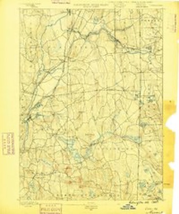
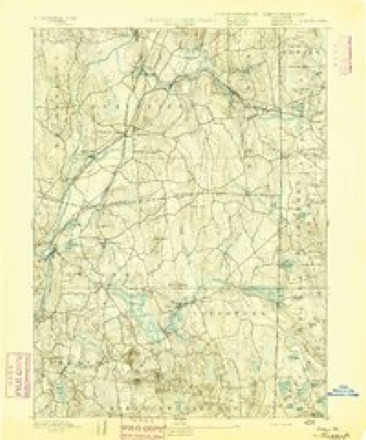
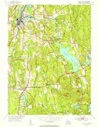
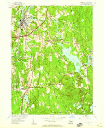
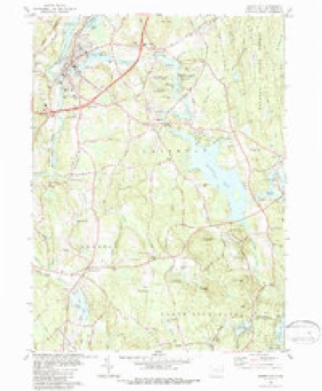
31 topographic sheets cover this place, the earliest surveyed in 1889 and the latest in 1984. It stands in Griswold town. It lies in ZIP code area 06351. It stands on Partridge Brook. The Survey maps it on the Jewett City quadrangle.
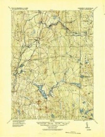
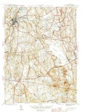
Topographic sheets covering this place
14 surveys from 31 printed sheetsMatched by testing this settlement's coordinate against the published boundary of every sheet in the United States Geological Survey's historical collection. Each opens the scanned sheet at the Survey.
- 1889 USGS Moosup quadrangle1:62500
- 1893 USGS Moosup quadrangle1:62500, 7 printings
- 1920 USGS Moosup quadrangle1:62500
- 1943 USGS Putnam quadrangle1:125000
- 1944 USGS Jewett City quadrangle1:31680, 3 printings
- 1947 USGS Providence quadrangle1:250000, 5 printings
- 1948 USGS Providence quadrangle1:250000
- 1953 USGS Jewett City quadrangle1:31680, 2 printings
- 1953 USGS Jewett City quadrangle1:24000, 3 printings
- 1957 USGS Providence quadrangle1:250000
- 1958 USGS Providence quadrangle1:250000
- 1963 USGS Providence quadrangle1:250000
- 1984 USGS Jewett City quadrangle1:24000, 3 printings
- 1984 USGS Providence quadrangle1:100000







In the county-history sources
13,789 words on this townshipHistory of New London County, Connecticut, with Biographical Sketches of Many of Its Pioneers and Prominent Men, published 1882 names this settlement in its chapter on Griswold Town. These are the passages that mention it, exactly as the scans read.
The next church was in Hopeville. A class was formed there in June, 1830, of twelve members, by Eev. E. Eansom, from England, who, with two or three other ministers, formed classes and circuits in many of the adjoining towns. The church at Hopeville was built in 1851, the parsonage in 1847. Their first pastor was Kev. Mr. H. Robinson. About twenty ministers have occupied tbe pulpit since; over one hundred and fifty have been baptized and joined on probation. Owing to deaths and removals, the church is now small. The pulpit is supplied by the pastor at Jewett City, Eev. Mr. McKeown.
Passage source: History of New London County, Connecticut, with Biographical Sketches of Many of Its Pioneers and Prominent Men, published 1882.
Machine-read from a century-old scan, so expect the errors a machine makes: misspelled names, dropped words, stray characters.
Read the whole chapter on Griswold Town - it names this place 1 more 1 time.
Fires near this place
196 since 1992Regional context, not property-specific evidence. The federal wildfire occurrence database lists 196 fires within 5 miles of Hopeville between 1992 and 2020, burning about 208 acres in total. 1 started naturally. 12 were recorded as arson. Distance is straight-line from the map coordinates, so a fire counted here may appear on a neighbouring settlement's page as well.
| Reported cause | Fires |
|---|---|
| Missing data/not specified/undetermined | 120 |
| Debris and open burning | 25 |
| Recreation and ceremony | 16 |
| Arson/incendiarism | 12 |
| Misuse of fire by a minor | 9 |
| Smoking | 6 |
| Railroad operations and maintenance | 4 |
| Equipment and vehicle use | 2 |
| Natural | 1 |
| Power generation/transmission/distribution | 1 |
The most recent of them, most recent first, with the day each was reported and the service that recorded it.
| Date | Cause | Size | Reported by | Name on the report |
|---|---|---|---|---|
| 6 September 2015 | Missing data/not specified/undetermined | under an acre | Connecticut Division of Forestry | not named |
| 23 September 2020 | Missing data/not specified/undetermined | under an acre | Connecticut Division of Forestry | I395 NB |
| 22 September 2020 | Missing data/not specified/undetermined | 1.0 acres | Connecticut Division of Forestry | 333 EDMOND ROAD |
| 19 September 2020 | Missing data/not specified/undetermined | under an acre | Connecticut Division of Forestry | I395 NB EX21 |
| 13 September 2020 | Missing data/not specified/undetermined | under an acre | Connecticut Division of Forestry | 270 N BURNAHM HIGHWAY |
| 8 August 2016 | Missing data/not specified/undetermined | under an acre | Connecticut Division of Forestry | 229 S CANTERBURY RD, CANTERBURY CT |
| 6 August 2020 | Missing data/not specified/undetermined | under an acre | Connecticut Division of Forestry | 999 VOLUNTOWN ROAD |
| 28 July 2016 | Missing data/not specified/undetermined | under an acre | Connecticut Division of Forestry | 1531 GLASGO RD, GRISWOLD CT |
Settlements close enough to share some of these fires:
Mines and quarries near this place
10 of 21 shownRegional context, not property-specific evidence. The federal mineral resources record lists 21 workings within 5 miles of Hopeville: 16 past producers, 4 producers, 1 unknown. 4 still produce. What was taken out: Sand and Gravel, Construction, Stone, Dimension, Stone. Distance is straight-line from the map coordinates, so a quarry counted here may appear on a neighbouring settlement's page as well.
| Where | Site | Commodity | Status | Recorded |
|---|---|---|---|---|
| Biotite Gneiss Rock Quarry | Stone, Dimension | Past Producer | ||
| Biotite Gneiss Rock Quarry No. Aj-016 | Stone | Past Producer | Unknown | |
| Arpin Pit | Sand and Gravel, Construction | Past Producer | Sedimentary | |
| Arpin Pit | Sand and Gravel, Construction | Producer | ||
| Campbells Pit | Sand and Gravel, Construction | Past Producer | Sedimentary | |
| Campbells Pit | Sand and Gravel, Construction | Past Producer | ||
| Canterbury Pit | Sand and Gravel, Construction | Past Producer | Sedimentary | |
| Canterbury Pit | Sand and Gravel, Construction | Past Producer | ||
| Geer Pit | Sand and Gravel, Construction | Past Producer | Sedimentary | |
| Geer Sand and Gravel Company, Inc. | Sand and Gravel, Construction | Producer |
Storms near this place
10 since 2010Regional context, not property-specific evidence. The National Weather Service names Hopeville in 10 storm reports between 2010 and 2024: 8 thunderstorm wind, 2 flood. No death or injury is recorded in these reports. Each account below is quoted exactly as the forecast office filed it, from the NOAA Storm Events Database, and each date opens the federal record of that event.
| When | Event | Place named | Harm | What the report says |
|---|---|---|---|---|
| March 2010 | Flood | Hopeville | $165,000 | In the Griswold neighborhood of Jewett City, many roads were damaged by flood waters, including Sheldon Rd., Campbell Rd., Bitgood Rd., Coal Pit Hill Rd., Popple Bridge Rd., Colonel Brown Rd. and Geer Rd. A house sustained damage on Pachaug Pond. and a bridge on Sheldon Rd. was closed because of damage. |
| May 2024 | Thunderstorm Wind | Hopeville | $3,000 | Trees and wires down on Pauline Place. |
| May 2024 | Thunderstorm Wind | Hopeville | $3,000 | Trees and wires down on Hell Hollow Road South of Stone Hill Reservoir. |
| May 2024 | Thunderstorm Wind | Hopeville | $3,000 | Multiple trees and wires down on Bishop Crossing Road. |
| May 2024 | Thunderstorm Wind | Hopeville | $3,000 | Trees and wires down on Roode Road. Road impassable. |
| May 2024 | Thunderstorm Wind | Hopeville | $3,000 | Large tree and wires down near Edmond Road. |
| May 2024 | Thunderstorm Wind | Hopeville | $3,000 | Tree and wires down. |
| July 2015 | Thunderstorm Wind | Hopeville | $3,000 | Trees and wires were reported down at the intersection of Tyler Terrace and | and Roode Road. |
| November 2021 | Thunderstorm Wind | Hopeville | $1,000 | Multiple large tree branches down on road. |
| March 2010 | Flood | Hopeville | - | In Plainfield, a section of North Sterling Rd. and a section of Snake Meadow Rd. were under approximately a foot of water.||Total rainfall amounts received across the county ranged from 2.74 inches at Groton/New London Airport to 4.70 inches in Norwich. |
Nearest settlements
The eight closest, with where each one stands in the county. Distances are straight-line, computed from the Geographic Names Information System coordinates.
| Map | Place | Distance | Sheets |
|---|---|---|---|
| Dorrville (historical) | 1.9 miles | 31 | |
| Pachaug | 2.0 miles | 31 | |
| Clayville | 2.1 miles | 31 | |
| Jewett City | 2.3 miles | 31 | |
| Newent | 4.2 miles | 30 | |
| Doaneville | 4.4 miles | 31 | |
| Voluntown | 4.6 miles | 30 | |
| Beachdale | 4.7 miles | 30 |
Provenance
This settlement is recorded in the Geographic Names Information System as feature 212481. The sheet list is computed by point-in-boundary test against the United States Geological Survey's historical topographic inventory. Both are works of the United States government and carry no copyright under 17 U.S.C. 105.
Wildfire. Short, Karen C. 2022. Spatial wildfire occurrence data for the United States, 1992-2020 [FPA_FOD_20221014]. 6th Edition. Fort Collins, CO: Forest Service Research Data Archive. https://doi.org/10.2737/RDS-2013-0009.6 Collected with United States Government funding and usable without additional permissions or fees.
Mines and quarries. USGS Mineral Resources Data System (MRDS) https://mrdata.usgs.gov/mrds/ A work of the United States government, no copyright under 17 U.S.C. 105.
Storms. NOAA National Centers for Environmental Information, Storm Events Database https://www.ncei.noaa.gov/stormevents/ A work of the United States government, no copyright under 17 U.S.C. 105. Narratives are quoted verbatim from the National Weather Service report and are not edited or summarised.