 Block
Pachaug, Connecticut
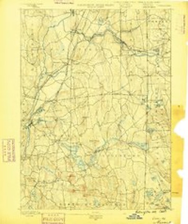
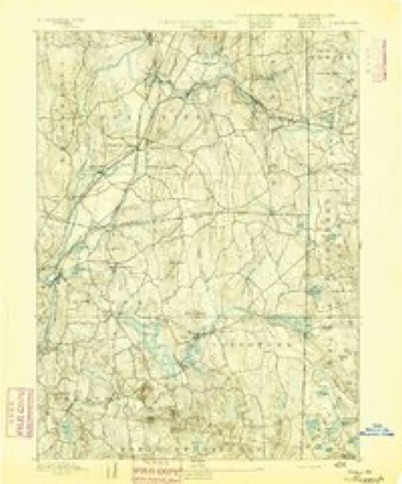
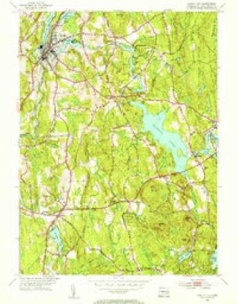
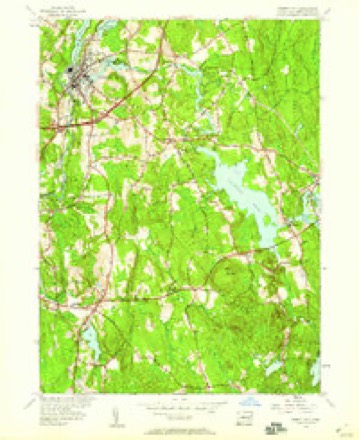
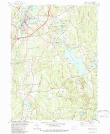
31 topographic sheets cover this place, the earliest surveyed in 1889 and the latest in 1984. It stands in Griswold town. It lies in ZIP code area 06351. It stands on Crooked Brook. The Survey maps it on the Jewett City quadrangle.
Topographic sheets covering this place
14 surveys from 31 printed sheetsMatched by testing this settlement's coordinate against the published boundary of every sheet in the United States Geological Survey's historical collection. Each opens the scanned sheet at the Survey.
- 1889 USGS Moosup quadrangle1:62500
- 1893 USGS Moosup quadrangle1:62500, 7 printings
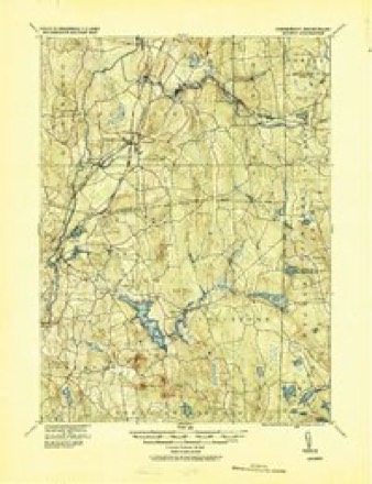
- 1920 USGS Moosup quadrangle1:62500
- 1943 USGS Putnam quadrangle1:125000
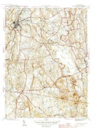
- 1944 USGS Jewett City quadrangle1:31680, 3 printings
- 1947 USGS Providence quadrangle1:250000, 5 printings
- 1948 USGS Providence quadrangle1:250000
- 1953 USGS Jewett City quadrangle1:31680, 2 printings
- 1953 USGS Jewett City quadrangle1:24000, 3 printings
- 1957 USGS Providence quadrangle1:250000
- 1958 USGS Providence quadrangle1:250000
- 1963 USGS Providence quadrangle1:250000
- 1984 USGS Jewett City quadrangle1:24000, 3 printings
- 1984 USGS Providence quadrangle1:100000







In the county-history sources
13,789 words on this townshipHistory of New London County, Connecticut, with Biographical Sketches of Many of Its Pioneers and Prominent Men, published 1882 names this settlement in its chapter on Griswold Town. These are the passages that mention it, exactly as the scans read.
The first settlement in this town was made at Jewett City in 1771 by Eleazer Jewett, from whom the village of Jewett City derived its name. He was a persevering man, of a genial and kindly temperament, happy in doing good, and opening paths of enterprise for the benefit of others without laboring to enrich himself. Beginning with only a small farm and a mill-seat on the Pachaug River, he lived to see a flourishing village spread around him, enriched with mills, stores, mechanical operations, and farms in an improved state of tillage. His tombstone in the cemetery at Jewett City bears the following inscription :
Passage source: History of New London County, Connecticut, with Biographical Sketches of Many of Its Pioneers and Prominent Men, published 1882.
Mr. H. L. Reade. in speaking of Jewett City, says, " Long before its settlement by the whites it was a noted place of residence for the red men. Along the rapids of Pachaug they caught with curious contrivances the fish that frequented that beautiful stream ; in the lone forests along the shores of the Quinnebaug they found game of all kinds in abundance, and prob- Jibly one hundred years before the sound of the white man's axe disturbed the solitudes the number of inhabitants occupying the same territory was greater than that of the present day. No spot for scores of miles around (with one exception) has so long preserved so many and so curious samples of Indian husbandry and war as this.
Passage source: History of New London County, Connecticut, with Biographical Sketches of Many of Its Pioneers and Prominent Men, published 1882.
Henry Lamed Johnson was born on the old Johnson homestead, in Griswold (a view of which is presented in this work, and where he now resides), Jan. 27, 1808. He is fifth in lineal descent from Benjamin Johnson, the first settler on this place. The name indicates Scandinavian extraction, but whether Benjamin was an emigrant, Avhat place he came from even the dates of his birth and death, all are alike unknown. He was a weaver, and in humble circumstances in life. He loved not a wandering life, and purchased the small place which formed the nucleus of the present broad acres of Deacon Johnson. Benjamin had one son, Stephen, whether more is unknown. This Stephen, born about 1717, became a farmer, and also worked at carpentering and bridgebuilding. He married Mary Kinne; had six children, - Marcy, Mary, Euamy, Esther, Stephen', and Marcy ; lived to a good old age ; was known as " Captain," and died Nov. 13, 1808, aged nearly eighty-six. His wife survived him, dying June 10, 1814, in her ninety-fourth year. Just previous to her death she rode on horseback to Bozrah from her home, sixteen miles. This shows the wonderful vitality of the women of that day. Her mind to the last retained its youthful vigor and brightness. She was a very superior woman, one of the "salt of the earth," a leader in religious matters, a great Christian aid to her husband (a godly man) and her family, and was held in high esteem by the clergy. None of their children settled in Griswold save Stephen, who occupied the homestead. He was born June 29, 1748 was a farmer, married Elizabeth Morgan, had but one child, Stephen ^, who attained maturity. Stephen '' was a God-fearing man, and died at the early age of thirty. His widow married one Averill, and by him had several children. Stephen', born Dec. 5, 1771, had a good common-school and academic education, became a farmer on the homestead, and enlarged its acreage. He was diligent in business, of a quiet and reserved nature, prudent and industrious, successful financially ; in early life was captain of militia, and for many years a deacon of the Congregational Church at Pachaug. When the Second Congregational Church (at Jewett City) was organized he was one of the constituent members, was chosen deacon in April, 1825, held that office until his death. May 16, 1854. His religion was a principle, and, unactuated by excitement, he was one of the strong pillars of the church,, and active in all good works. One of his former pastors says this of him, " A type of the old Puritan stock, plain in dress and address, not given to much talking, but expressing much in few words. At one time he said to a hired man, ' We must get up the hay or it will be caught in the rain.' He answered, ' Trust Providence, Deacon.' ' Providence won't rake up our hay for us.' Having been 'proved' as deacon in the old church of North Preston (now Griswold), at the organization of the church at Jewett City (an offshoot from the old one) he was chosen deacon, and remained such till his death. At his funeral his pastor chose, as a peculiarly appropriate text. Psalm xii. 1 : ' Help, Lord, for the godly man ceaseth, the faithful fail from among the children of men.' " He married Lydia Earned (born in Thompson, Conn.), Jan. 2, 1800. Their children not dying in youth were Laura (deceased), Stephen*, Henry L., Mary K., Daniel (deceased), Sanford, Lydia L. (deceased). Mrs. Johnson died July 22, 1843. "She was a faithful and affectionate wife and devoted mother, a kind neighbor, a friend of the poor (to whose wants she was ever ready to minister), and above all, and crowning all, she was an humble and exemplary follower of Christ. Her sickness, though painful, was brief. She early anticipated its fatal issue, but death had no. terrors for her. She calmly waited the summons which should call her home. The evening before her death, feeling that her time was short, she left messages to her absent children, and particularly to her son, a missionary of the American Board at Bankok, Siam : ' Tell Stephen that if I reach the New Jerusalem before him, I trust he will be ripening for that happy home. I think I have been strengthened by his prayers.' Comforted by the Saviour's presence.
Passage source: History of New London County, Connecticut, with Biographical Sketches of Many of Its Pioneers and Prominent Men, published 1882.
Machine-read from a century-old scan, so expect the errors a machine makes: misspelled names, dropped words, stray characters.
Read the whole chapter on Griswold Town - it names this place 3 more 3 times.
Fires near this place
129 since 1992Regional context, not property-specific evidence. The federal wildfire occurrence database lists 129 fires within 5 miles of Pachaug between 1992 and 2020, burning about 144 acres in total. None started naturally. 9 were recorded as arson. Distance is straight-line from the map coordinates, so a fire counted here may appear on a neighbouring settlement's page as well.
| Reported cause | Fires |
|---|---|
| Missing data/not specified/undetermined | 74 |
| Debris and open burning | 25 |
| Recreation and ceremony | 9 |
| Arson/incendiarism | 9 |
| Misuse of fire by a minor | 5 |
| Railroad operations and maintenance | 3 |
| Smoking | 2 |
| Equipment and vehicle use | 2 |
The most recent of them, most recent first, with the day each was reported and the service that recorded it.
| Date | Cause | Size | Reported by | Name on the report |
|---|---|---|---|---|
| 6 September 2015 | Missing data/not specified/undetermined | under an acre | Connecticut Division of Forestry | not named |
| 23 September 2020 | Missing data/not specified/undetermined | under an acre | Connecticut Division of Forestry | I395 NB |
| 22 September 2020 | Missing data/not specified/undetermined | 1.0 acres | Connecticut Division of Forestry | 333 EDMOND ROAD |
| 19 September 2020 | Missing data/not specified/undetermined | under an acre | Connecticut Division of Forestry | I395 NB EX21 |
| 13 September 2020 | Missing data/not specified/undetermined | under an acre | Connecticut Division of Forestry | 270 N BURNAHM HIGHWAY |
| 6 August 2020 | Missing data/not specified/undetermined | under an acre | Connecticut Division of Forestry | 999 VOLUNTOWN ROAD |
| 28 July 2016 | Missing data/not specified/undetermined | under an acre | Connecticut Division of Forestry | 1531 GLASGO RD, GRISWOLD CT |
| 26 July 2020 | Missing data/not specified/undetermined | under an acre | Connecticut Division of Forestry | 22 HILLVIEW HEIGHTS |
Settlements close enough to share some of these fires:
Mines and quarries near this place
10 of 25 shownRegional context, not property-specific evidence. The federal mineral resources record lists 25 workings within 5 miles of Pachaug: 20 past producers, 4 producers, 1 unknown. 4 still produce. What was taken out: Sand and Gravel, Construction, Stone, Dimension, Stone, Crushed/Broken, Stone. Distance is straight-line from the map coordinates, so a quarry counted here may appear on a neighbouring settlement's page as well.
| Where | Site | Commodity | Status | Recorded |
|---|---|---|---|---|
| Biotite Gneiss Rock Quarry | Stone, Dimension | Past Producer | ||
| Biotite Gneiss Rock Quarry No. Aj-016 | Stone | Past Producer | Unknown | |
| Lime Quarry | Stone, Crushed/Broken | Past Producer | ||
| Arpin Pit | Sand and Gravel, Construction | Past Producer | Sedimentary | |
| Arpin Pit | Sand and Gravel, Construction | Producer | ||
| B and O Pit | Sand and Gravel, Construction | Past Producer | Sedimentary | |
| B and O Sand and Gravel | Sand and Gravel, Construction | Producer | ||
| Bronson Pit | Sand and Gravel, Construction | Past Producer | Sedimentary | |
| Bronson Pit | Sand and Gravel, Construction | Past Producer | ||
| Campbells Pit | Sand and Gravel, Construction | Past Producer | Sedimentary |
Storms near this place
1 since 2014Regional context, not property-specific evidence. The National Weather Service names Pachaug in 1 storm report in 2014: 1 hail. No death or injury is recorded in these reports. Each account below is quoted exactly as the forecast office filed it, from the NOAA Storm Events Database, and each date opens the federal record of that event.
| When | Event | Place named | Harm | What the report says |
|---|---|---|---|---|
| May 2014 | Hail | Pachaug | - | no account filed |
Nearest settlements
The eight closest, with where each one stands in the county. Distances are straight-line, computed from the Geographic Names Information System coordinates.
| Map | Place | Distance | Sheets |
|---|---|---|---|
| Hopeville | 2.0 miles | 31 | |
| Dorrville (historical) | 2.5 miles | 31 | |
| Jewett City | 2.6 miles | 31 | |
| Clayville | 3.0 miles | 31 | |
| Bethel | 3.1 miles | 31 | |
| Glasgo | 3.4 miles | 31 | |
| Doaneville | 3.6 miles | 31 | |
| Voluntown | 3.8 miles | 30 |
Provenance
This settlement is recorded in the Geographic Names Information System as feature 212536. The sheet list is computed by point-in-boundary test against the United States Geological Survey's historical topographic inventory. Both are works of the United States government and carry no copyright under 17 U.S.C. 105.
Wildfire. Short, Karen C. 2022. Spatial wildfire occurrence data for the United States, 1992-2020 [FPA_FOD_20221014]. 6th Edition. Fort Collins, CO: Forest Service Research Data Archive. https://doi.org/10.2737/RDS-2013-0009.6 Collected with United States Government funding and usable without additional permissions or fees.
Mines and quarries. USGS Mineral Resources Data System (MRDS) https://mrdata.usgs.gov/mrds/ A work of the United States government, no copyright under 17 U.S.C. 105.
Storms. NOAA National Centers for Environmental Information, Storm Events Database https://www.ncei.noaa.gov/stormevents/ A work of the United States government, no copyright under 17 U.S.C. 105. Narratives are quoted verbatim from the National Weather Service report and are not edited or summarised.