 Block
Kensington, Connecticut
38 topographic sheets cover this place, the earliest surveyed in 1892 and the latest in 1994. It stands in Berlin town. It lies in ZIP code area 06037. It stands on Belcher Brook. The Survey maps it on the New Britain quadrangle. 9,962 people lived here at the 2020 count. It stands 84 feet above sea level.
On record in Kensington
Buildings and businesses the archive holds for this place. Each opens its own page, with the source record it came from.
On the National Register 1 record
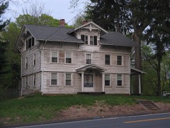 Henry Hooker Houselisted 1978
Population over time
2 figuresKensington grew from 8,459 to 9,962 between 2010 and 2020. These are the recorded population figures Wikidata holds for this place, reached through the Geographic Names Information System number this page is keyed on rather than by name, so they belong to this place and not to another of the same name. Most are census counts, but not all are: an early figure may be a founding or settlement estimate, and an estimate published within five years of a census is left out. The change column is computed, and is left blank where more than 20 years separate a figure from the one before it, because a gap that long is not a change between two counts.
| Year | People | Change |
|---|---|---|
| 2010 | 8,459 | |
| 2020 | 9,962 | +1,503 (+18%) |
Topographic sheets covering this place
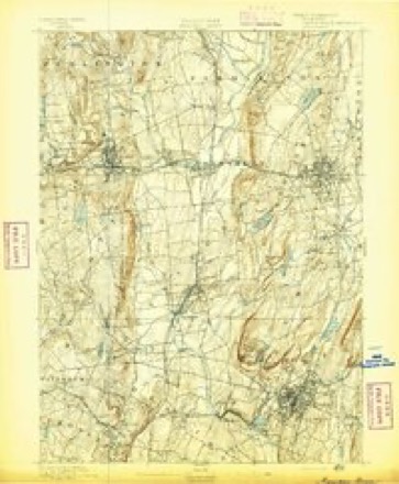
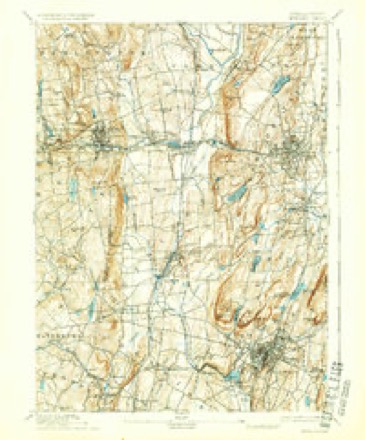
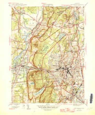
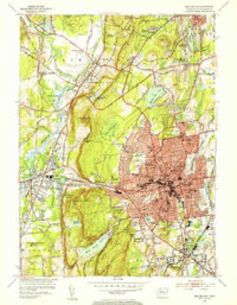
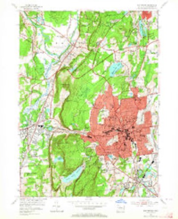
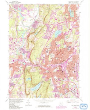
14 surveys from 38 printed sheetsMatched by testing this settlement's coordinate against the published boundary of every sheet in the United States Geological Survey's historical collection. Each opens the scanned sheet at the Survey.
- 1892 USGS Meriden quadrangle1:62500
- 1893 USGS Meriden quadrangle1:62500, 10 printings
- 1906 USGS Farmington quadrangle1:125000, 2 printings
- 1946 USGS New Britain quadrangle1:31680, 2 printings
- 1947 USGS Hartford quadrangle1:250000, 2 printings
- 1948 USGS Hartford quadrangle1:250000, 2 printings
- 1953 USGS New Britain quadrangle1:31680, 2 printings
- 1953 USGS New Britain quadrangle1:24000, 2 printings
- 1961 USGS Hartford quadrangle1:250000
- 1962 USGS Hartford quadrangle1:250000, 3 printings
- 1965 USGS Hartford quadrangle1:250000, 2 printings
- 1966 USGS New Britain quadrangle1:24000, 6 printings
- 1986 USGS Hartford quadrangle1:100000
- 1994 USGS Hartford quadrangle1:100000, 2 printings








In the county-history sources
7,187 words on this townshipThe Memorial History of Hartford County, Connecticut, 1633-1884;, published 1886 names this settlement in its chapter on Berlin Town. These are the passages that mention it, exactly as the scans read.
This I'ich basin to which the settlers had come received from them the name of Great Swamp, on account of its low situation. An Ecclesiastical Society was organized in Great Swamj) in 1705. The new society, including in its territorial limits the greater part of the present towns of New Britain and Berlin, was called the Second Society of Farmington. It received the name Kensington by act of the General Assemljly, on the petition of its inhabitants, in May, 1722. Beckley Quarter, which in 1712 was assigned to the new West Society in Wethersfield, since called Newington, was in 1715 annexed to the Great Swamp Society ; and so Beckley Quarter became a part of the Second Society of Farmington.
Passage source: The Memorial History of Hartford County, Connecticut, 1633-1884;, published 1886.
The meeting-house In which he first preached was on a knoll a few rods southwest of where the Middletown railroad crosses Christian Lane. As the population increased, the house was found to be too small and the location inconvenient ; and it was voted, in January, 17-30 (42 in the affirmative and 36 in tlie negative), to build a new meeting-house " on Sergeant John Norton's lot, on the north side of Mill River," more than a mile southwest of the old house. The seeds of forty years of strife were in that vote. Serious difficulties arose respecting the location. Recourse was had in the most solemn manner to the lot, to decide the question. An advisory council was called to decide what the lot did not settle. The council advised that the site indicated by the lot was " the place pointed out by Providence to build the meeting-house upon ; " but the people would not build it there. The General Assembly of the colony was next apj)ealcd to.^ In May, 1732, that body aj^pointed a committee to repair to the parish, view the circumstances, and fix the place for building the meetinghouse. The committee fulfilled their trust, and pitched down a stake in Deacon Thomas Hart's home-lot," about forty rods southwest of the spot pointed out by the lot. The society would take no measures for building there ; and in October, 1732, the General Court " ordered, directed, and empowered the constable of the town of Farmington to assess and gather of the inhabitants of Kensington ninepence on the pound of the polls and ratable estate of said society, and deliver it to the treasurer of the colony ; who was ordered, on the receipt thereof, to pay out the same to Captain John Marsh, Captain Thomas Seymour, and Mr. James Church, all of Hartford, who were appointed and empowered to be a committee, or any two of them, to erect and finish a meeting-house, at the place aforesaid, for the society aforesaid." This Hartford committee " speedily and effectually " did their work. They erected a house " 60 feet in length and 45 in breadth, containing in the came from distant parts of the parish. But no means of relief were at hand, and the confusion and dissension continued till 1745, when the first division of Kensington Parish was made liy the organization of tlie 8ocietv of New Britain. The church in New Britain - the Second Church in Kensiuii'ton - was formed April 19, 1758, with sixty-eight members. On the same day John Smalley - a name destined to be famous in the history of New England theology - was ordained. His character and work belong rather to the history of New Britain than to that of Berlin. The church in New Britain received fifty of its original members from the mother clnuch ; but there were one hundred and seventy-four members left in a church which fortytwo years before had been organized with ten members in a settlement of but fourteen families. This shows a rapid growth of population.
Passage source: The Memorial History of Hartford County, Connecticut, 1633-1884;, published 1886.
Westfield, in the Province of Massachusetts Bay. In conclusion, the subscribers solemnly pledge themselves, "laying aside all former prejudices and prepossessions, and all party and selfish views and designs, to abide by the decision of the arljitrators, and not directly or indirectly to oppose it." The pledge was made, and kept in good faith. The arbitrators did their ])art wisely. They decided that it was best to divide the society again, drew the boundary Ime, and fixed the sites of the two new meeting-houses. A memorial was presented to the General Assembly in October, 1772, asking for this division, which was granted. The West Society retained the name of Kensington, and the East Society took the name of Worthington, as a memorial of the judicious efforts of Colonel Worthington in settling these long-standing difficulties.
Passage source: The Memorial History of Hartford County, Connecticut, 1633-1884;, published 1886.
Machine-read from a century-old scan, so expect the errors a machine makes: misspelled names, dropped words, stray characters.
Read the whole chapter on Berlin Town - it names this place 20 more 20 times.
Fires near this place
25 since 1993Regional context, not property-specific evidence. The federal wildfire occurrence database lists 25 fires within 5 miles of Kensington between 1993 and 2016, burning about 54 acres in total. None started naturally. 4 were recorded as arson. Distance is straight-line from the map coordinates, so a fire counted here may appear on a neighbouring settlement's page as well.
| Reported cause | Fires |
|---|---|
| Missing data/not specified/undetermined | 9 |
| Recreation and ceremony | 5 |
| Arson/incendiarism | 4 |
| Smoking | 3 |
| Debris and open burning | 2 |
| Equipment and vehicle use | 2 |
The most recent of them, most recent first, with the day each was reported and the service that recorded it.
| Date | Cause | Size | Reported by | Name on the report |
|---|---|---|---|---|
| 4 August 1999 | Recreation and ceremony | 6.0 acres | Connecticut Division of Forestry | not named |
| 22 August 1995 | Smoking | under an acre | Connecticut Division of Forestry | not named |
| 14 August 2006 | Recreation and ceremony | under an acre | Connecticut Division of Forestry | not named |
| 25 July 2016 | Recreation and ceremony | 1.2 acres | Connecticut Division of Forestry | RAGGED MOUNTAIN |
| 19 July 2016 | Missing data/not specified/undetermined | 1.0 acres | Connecticut Division of Forestry | ROUTE 9 SOUTHBOUND |
| 7 May 2006 | Recreation and ceremony | 3.0 acres | Connecticut Division of Forestry | not named |
| 6 May 2007 | Missing data/not specified/undetermined | under an acre | Connecticut Division of Forestry | not named |
| 30 May 1993 | Recreation and ceremony | 2.0 acres | Connecticut Division of Forestry | not named |
Settlements close enough to share some of these fires:
Mines and quarries near this place
10 of 47 shownRegional context, not property-specific evidence. The federal mineral resources record lists 47 workings within 5 miles of Kensington: 37 past producers, 7 producers, 2 occurrences, 1 unknown. 7 still produce. What was taken out: Stone, Crushed/Broken, Stone, Dimension, Sand and Gravel, Construction, Barium-Barite. Distance is straight-line from the map coordinates, so a quarry counted here may appear on a neighbouring settlement's page as well.
| Where | Site | Commodity | Status | Recorded |
|---|---|---|---|---|
| Aiudi Stone Pit and Quarry | Stone | Producer | ||
| Amethyst, Bitumen Vein Quartz Occurrence No. Dj-036 | Gemstone, Rock Asphalt | Occurrence | Amethyst, Calcite, Quartz | |
| Barite Occurrences No. Cj-070 | Barium-Barite, Calcium, Quartz | Occurrence | Void Fill | |
| Charles Genoni Pit | Clay | Past Producer | ||
| Limestone Quarry No. Dj-002 | Limestone, General, Fluorine-Fluorite | Past Producer | Limestone | |
| Mattabesset River Lead Mine | Lead, Zinc, Iron, Sulfur, Barium-Barite | Past Producer | Barite, Galena, Pyrite, Sphalerite | |
| Lead Mine | Lead | Past Producer | ||
| Basalt Rock Quarry and Barite Occurrence No. Dj-026 | Stone, Crushed/Broken, Barium-Barite | Producer | Basalt, Prehnite, Quartz | |
| Berlin Moore's Mill Barite Mine | Barium-Barite | Past Producer | Breccia Fill Along Fault | |
| Berin Pit | Sand and Gravel, Construction | Past Producer | Sedimentary |
Storms near this place
1 since 2024Regional context, not property-specific evidence. The National Weather Service names Kensington in 1 storm report in 2024: 1 hail. No death or injury is recorded in these reports. Each account below is quoted exactly as the forecast office filed it, from the NOAA Storm Events Database, and each date opens the federal record of that event.
| When | Event | Place named | Harm | What the report says |
|---|---|---|---|---|
| August 2024 | Hail | Kensington | - | In Kensington, penny sized hail fell. |
Nearest settlements
The eight closest, with where each one stands in the county. Distances are straight-line, computed from the Geographic Names Information System coordinates.
| Map | Place | Distance | Sheets |
|---|---|---|---|
| Berlin | 1.6 miles | 36 | |
| Turkey Hill | 1.6 miles | 37 | |
| New Britain | 1.9 miles | 38 | |
| Elm Hill | 3.0 miles | 37 | |
| Mount Pleasant Housing | 3.0 miles | 38 | |
| East Berlin | 3.1 miles | 36 | |
| Pinnacle Heights Housing | 4.2 miles | 38 | |
| Corbin Heights Housing | 4.3 miles | 38 |
Elsewhere
Matched on this settlement's Geographic Names Information System number rather than its name, so it cannot be a different place of the same name in another state.
| Wikipedia article on Kensington | An encyclopaedic summary. Its text is share-alike, so it is linked here rather than copied. |
| Wikidata item Q927767 | The structured record the population and elevation above come from. Public domain (CC0). |
Provenance
This settlement is recorded in the Geographic Names Information System as feature 208265. The sheet list is computed by point-in-boundary test against the United States Geological Survey's historical topographic inventory. Both are works of the United States government and carry no copyright under 17 U.S.C. 105.
Wildfire. Short, Karen C. 2022. Spatial wildfire occurrence data for the United States, 1992-2020 [FPA_FOD_20221014]. 6th Edition. Fort Collins, CO: Forest Service Research Data Archive. https://doi.org/10.2737/RDS-2013-0009.6 Collected with United States Government funding and usable without additional permissions or fees.
Mines and quarries. USGS Mineral Resources Data System (MRDS) https://mrdata.usgs.gov/mrds/ A work of the United States government, no copyright under 17 U.S.C. 105.
Storms. NOAA National Centers for Environmental Information, Storm Events Database https://www.ncei.noaa.gov/stormevents/ A work of the United States government, no copyright under 17 U.S.C. 105. Narratives are quoted verbatim from the National Weather Service report and are not edited or summarised.