 Block
Laurel Glen, Connecticut
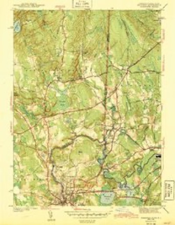
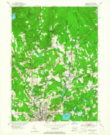
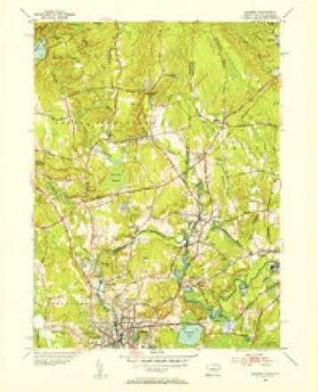
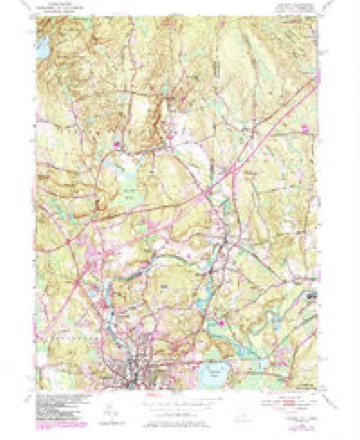
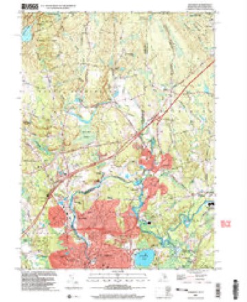
34 topographic sheets cover this place, the earliest surveyed in 1889 and the latest in 2001. It stands in North Stonington town. It lies in ZIP code area 06359. It stands on Hetchel Swamp Brook. The Survey maps it on the Ashaway quadrangle.
Topographic sheets covering this place
15 surveys from 34 printed sheetsMatched by testing this settlement's coordinate against the published boundary of every sheet in the United States Geological Survey's historical collection. Each opens the scanned sheet at the Survey.
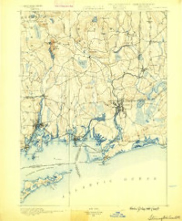
- 1889 USGS Stonington quadrangle1:62500
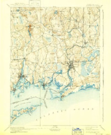
- 1893 USGS Stonington quadrangle1:62500, 10 printings
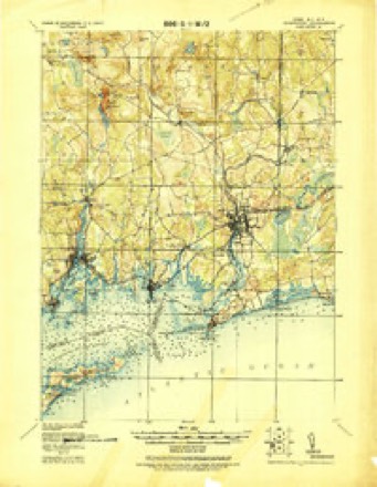
- 1921 USGS Stonington quadrangle1:62500
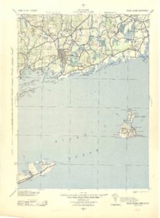
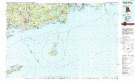
- 1942 USGS Block Island quadrangle1:125000, 2 printings
- 1943 USGS Ashaway quadrangle1:31680, 2 printings
- 1947 USGS Providence quadrangle1:250000, 5 printings
- 1948 USGS Providence quadrangle1:250000
- 1953 USGS Ashaway quadrangle1:24000, 4 printings
- 1953 USGS Ashaway quadrangle1:31680
- 1957 USGS Providence quadrangle1:250000
- 1958 USGS Providence quadrangle1:250000
- 1963 USGS Providence quadrangle1:250000
- 1984 USGS Ashaway quadrangle1:24000, 2 printings
- 1984 USGS Block Island quadrangle1:100000
- 2001 USGS Ashaway quadrangle1:24000





In the county-history sources
13,401 words on this townshipHistory of New London County, Connecticut, with Biographical Sketches of Many of Its Pioneers and Prominent Men, published 1882 names this settlement in its chapter on North Stonington Town. These are the passages that mention it, exactly as the scans read.
Mills and Manufacturing. - The town of North Stonington is noted for being the sources of the Mystic, Shunnuck, and the western branches of Ashaway River. One of the Ashaway branches has its main source in Wyassup Lake (raised now into a reservoir, with its floating island), and courses its way along, giving water-power to Peabody's saw-mill, and through the old dam on the Holmes estate, where in the long ago was a mill, and enters the Spalding Pond, where it mingles with the rivulet that rises on the southern and western slopes of Pung-hung-wenuck Hill, then on and by the old Spalding mills into the Burch or Clark Mill-pond. Another source of the Ashaway rises in Voluntown,- and its downward course is fed by the rivulet from the eastern slope of the Pung-hung-we-nuck range of hills, forming the vyater-power for the manufacturing establishments at Laurel Glen, mainly erected and run at first by Charles Kenyon, but now successfully operated by Deacon Barber and others. Passing Laurel Glen, the stream enters Burch or Clark Pond, forming the water-power for Clark Falls Mill, which was erected by the late Alfred Clark and Peleg S. Tift, in equal partnership, in 1864, costing $33,762,282. A manufacturing company was organized and known as the Clark Falls Manufacturing Company, hired the mill and supplied the machinery at a cost of twenty thousand dollars, with a lease at ten per cent, on the actual cost of mill aud privilege, or at a rent of three thousand three hundred and seventy-six dollars per annum, which was operated under the superintendence of A. S. Briggs, manufacturing army goods until the close of the war, since which they have manufactured flannels, suitings, and various patterns of woolen goods. The firm-name of the company has never been changed, though there has been successions in the ownership.
Passage source: History of New London County, Connecticut, with Biographical Sketches of Many of Its Pioneers and Prominent Men, published 1882.
Deacon Solomon Barber, sixth son of Col. Moses Barber, of South Kingston, Washington Co., R. I., was born Feb. 6, 1823. Like, most farmers' sons, his early boyhood was employed alternately in work on the farm and in attending school ; by this means he obtained a fair education, and as he grew up he early manifested a strong desire to engage in the manufacture of cloth, and so he directed his energies in that channel, and became established in that pursuit at the age of twenty-four. His life has been devoted to the building up and in a legitimate manner extending that business, and is now the proprietor of a large manufactory at Laurel Glen, Conn. Mr. Barber was married Aug. 18, 1844, to Miss Ellen M., daughter of Asa Dye. They have four children, - RensaellerW., Moses, Ellie M., and Sarah S. The latter married A. F. Knight, of Bozrahville. They have one child, a daughter, named Bertha. Rensaeller married Kate
Passage source: History of New London County, Connecticut, with Biographical Sketches of Many of Its Pioneers and Prominent Men, published 1882.
Machine-read from a century-old scan, so expect the errors a machine makes: misspelled names, dropped words, stray characters.
Fires near this place
39 since 1995Regional context, not property-specific evidence. The federal wildfire occurrence database lists 39 fires within 5 miles of Laurel Glen between 1995 and 2020, burning about 36 acres in total. None started naturally. 7 were recorded as arson. Distance is straight-line from the map coordinates, so a fire counted here may appear on a neighbouring settlement's page as well.
| Reported cause | Fires |
|---|---|
| Missing data/not specified/undetermined | 13 |
| Debris and open burning | 9 |
| Arson/incendiarism | 7 |
| Recreation and ceremony | 4 |
| Misuse of fire by a minor | 2 |
| Fireworks | 2 |
| Equipment and vehicle use | 1 |
| Smoking | 1 |
The most recent of them, most recent first, with the day each was reported and the service that recorded it.
| Date | Cause | Size | Reported by | Name on the report |
|---|---|---|---|---|
| 22 September 2020 | Missing data/not specified/undetermined | under an acre | Rhode Island Division of Forest Environment | not named |
| 21 September 2020 | Missing data/not specified/undetermined | under an acre | Rhode Island Division of Forest Environment | not named |
| 10 September 1995 | Recreation and ceremony | 2.0 acres | Connecticut Division of Forestry | not named |
| 21 August 1995 | Recreation and ceremony | 2.0 acres | Connecticut Division of Forestry | not named |
| 17 August 2020 | Debris and open burning | under an acre | Rhode Island Division of Forest Environment | not named |
| 21 July 2016 | Missing data/not specified/undetermined | under an acre | Connecticut Division of Forestry | 100 BILLINGS LAKE RD, NORTH STONINGTON CT |
| 20 July 2016 | Fireworks | 1.0 acres | Connecticut Division of Forestry | COAL PIT HILL ROAD/CAMP WITMAN |
| 22 June 2018 | Missing data/not specified/undetermined | under an acre | Rhode Island Division of Forest Environment | not named |
Settlements close enough to share some of these fires:
Mines and quarries near this place
10 of 16 shownRegional context, not property-specific evidence. The federal mineral resources record lists 16 workings within 5 miles of Laurel Glen: 13 past producers, 3 producers. 3 still produce. What was taken out: Sand and Gravel, Construction, Stone, Dimension, Stone, Crushed/Broken. Distance is straight-line from the map coordinates, so a quarry counted here may appear on a neighbouring settlement's page as well.
| Where | Site | Commodity | Status | Recorded |
|---|---|---|---|---|
| Quarry | Stone, Crushed/Broken | Past Producer | ||
| Quarry | Stone, Dimension | Past Producer | ||
| Quarry | Stone, Dimension | Past Producer | ||
| Allied Stone and Gravel Co | Sand and Gravel, Construction | Past Producer | Sedimentary | |
| Lewis Pit | Sand and Gravel, Construction | Past Producer | Sedimentary | |
| Lewis Pit | Sand and Gravel, Construction | Past Producer | ||
| Moran Sand and Gravel Pit | Sand and Gravel, Construction | Past Producer | Sedimentary | |
| Moran Sand and Gravel Pit | Sand and Gravel, Construction | Producer | ||
| Morgan Pit | Sand and Gravel, Construction | Past Producer | ||
| Richard E. White Pit | Sand and Gravel, Construction | Past Producer | Sedimentary |
Nearest settlements
The eight closest, with where each one stands in the county. Distances are straight-line, computed from the Geographic Names Information System coordinates.
| Map | Place | Distance | Sheets |
|---|---|---|---|
| Clarks Falls | 1.1 miles | 34 | |
| North Stonington | 4.1 miles | 31 | |
| Pawcatuck | 6.6 miles | 34 | |
| Glasgo | 7.0 miles | 31 | |
| Bethel | 7.1 miles | 31 | |
| Voluntown | 7.4 miles | 30 | |
| Doaneville | 7.6 miles | 31 | |
| Beachdale | 7.7 miles | 30 |
Provenance
This settlement is recorded in the Geographic Names Information System as feature 208401. The sheet list is computed by point-in-boundary test against the United States Geological Survey's historical topographic inventory. Both are works of the United States government and carry no copyright under 17 U.S.C. 105.
Wildfire. Short, Karen C. 2022. Spatial wildfire occurrence data for the United States, 1992-2020 [FPA_FOD_20221014]. 6th Edition. Fort Collins, CO: Forest Service Research Data Archive. https://doi.org/10.2737/RDS-2013-0009.6 Collected with United States Government funding and usable without additional permissions or fees.
Mines and quarries. USGS Mineral Resources Data System (MRDS) https://mrdata.usgs.gov/mrds/ A work of the United States government, no copyright under 17 U.S.C. 105.