 Block
North Stonington, Connecticut
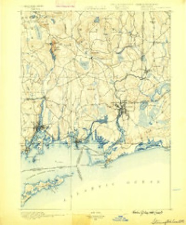
31 topographic sheets cover this place, the earliest surveyed in 1889 and the latest in 1984. It stands in North Stonington town. It lies in ZIP code area 06359. It stands on Assekonk Brook. The Survey maps it on the Old Mystic quadrangle.
On record in North Stonington
Buildings and businesses the archive holds for this place. Each opens its own page, with the source record it came from.
On the National Register 4 records
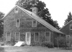 Samuel Miner Houselisted 1976
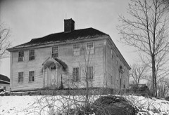 North Stonington Village Historic Districtlisted 1983
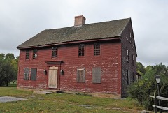 John Randall Houselisted 1978
- Luther Palmer Houselisted 1979
Topographic sheets covering this place
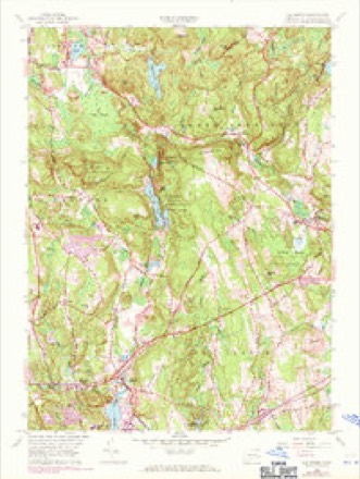
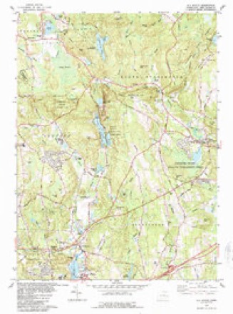
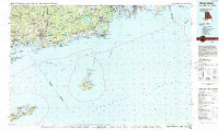
13 surveys from 31 printed sheetsMatched by testing this settlement's coordinate against the published boundary of every sheet in the United States Geological Survey's historical collection. Each opens the scanned sheet at the Survey.
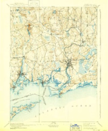
- 1889 USGS Stonington quadrangle1:62500
- 1893 USGS Stonington quadrangle1:62500, 10 printings
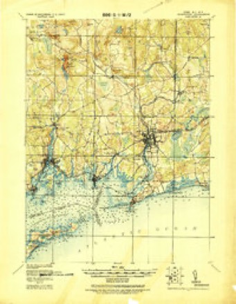
- 1921 USGS Stonington quadrangle1:62500
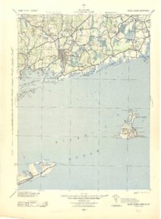
- 1942 USGS Block Island quadrangle1:125000, 2 printings
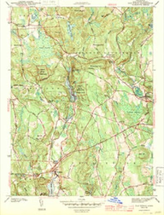
- 1943 USGS Old Mystic quadrangle1:31680, 2 printings
- 1947 USGS Providence quadrangle1:250000, 5 printings
- 1948 USGS Providence quadrangle1:250000
- 1957 USGS Providence quadrangle1:250000
- 1958 USGS Old Mystic quadrangle1:24000, 2 printings
- 1958 USGS Providence quadrangle1:250000
- 1963 USGS Providence quadrangle1:250000
- 1983 USGS Old Mystic quadrangle1:24000, 3 printings
- 1984 USGS Block Island quadrangle1:100000





In the county-history sources
13,401 words on this townshipHistory of New London County, Connecticut, with Biographical Sketches of Many of Its Pioneers and Prominent Men, published 1882 names this settlement in its chapter on North Stonington Town. These are the passages that mention it, exactly as the scans read.
In June following two of the Assembly's committee appointed, viz., Roger Huntington and Jabez Perkins, came to North Stonington, and spent several days in an unsuccessful attempt to effect an agreement among the people, and finally decided upon a place themselves. But their findings did not suit the inhabitants, and the struggle went on, and finally about fifty members of the society agreed upon another place and sent again for the Assembly's committee, who came in February, 1723, and, after patient and exhaustive hearings, decided that the house should be built a few rods northwest of the present town hall. Their decision was so far acceptable that the society proceeded forthwith to build the house thereon, and in the month of May following it was raised.
Passage source: History of New London County, Connecticut, with Biographical Sketches of Many of Its Pioneers and Prominent Men, published 1882.
The Second Baptist Cliiircli in North Stonington was organized in 1765, and Deacon Simeon Brown was ordained their pastor in March of that year. He was a native of Stonington and a man of sterling worth, but not a natural pulpit orator. He was greatly beloved by his parishioners, and gathered about him a church of respectable numbers, who loved and sustained him under all the circumstances in which he was placed. Other ordained ministers have been raised up in this church or employed by it, viz. : Asher Miner, Asa Spalding, Jedediah Randall, Foronda Bestor, Amos R. Wells, Levi Meech, John Green, Erastus Denison, Levi Walker, also a number of licentiates. There has been a good many special seasons of refreshing from the Lord enjoyed by this church, mingled with the depressing influence of religious declension. At present they are enjoying the preaching and pastoral care of the Rev. E. P. Mathewson, who is greatly respected and beloved. The church numbers one hundred and sixty-eight, with a Sundayschool well organized and progressing finely.
Passage source: History of New London County, Connecticut, with Biographical Sketches of Many of Its Pioneers and Prominent Men, published 1882.
The Third Baptist Church in North Stonington was organized on the 23th day of December, 1828. The following extract from their covenant exhibits their motives and feelings: "We whose names are hereunto annexed, feeling an interest for the cause of God, and being located by Providence where we can but seldom have an opportunity of meeting the churches to which we severally belong, feel that it is high time for us to set up a banner for God." An ecclesiastical council, consisting of Elders William Bentley, J. G. Wiglitman, W. Palmer, Luther Goddard, B. M. Hill, J. S. Swan, Jonathan Miner, and Asher Miner. But eight individuals were originally recognized as the church, because they only had been purposely dismissed by their respective churches.
Passage source: History of New London County, Connecticut, with Biographical Sketches of Many of Its Pioneers and Prominent Men, published 1882.
Machine-read from a century-old scan, so expect the errors a machine makes: misspelled names, dropped words, stray characters.
Read the whole chapter on North Stonington Town - it names this place 18 more 18 times.
Fires near this place
23 since 1995Regional context, not property-specific evidence. The federal wildfire occurrence database lists 23 fires within 5 miles of North Stonington between 1995 and 2020, burning about 24 acres in total. None started naturally. 3 were recorded as arson. Distance is straight-line from the map coordinates, so a fire counted here may appear on a neighbouring settlement's page as well.
| Reported cause | Fires |
|---|---|
| Missing data/not specified/undetermined | 7 |
| Debris and open burning | 5 |
| Recreation and ceremony | 4 |
| Arson/incendiarism | 3 |
| Misuse of fire by a minor | 1 |
| Equipment and vehicle use | 1 |
| Smoking | 1 |
| Fireworks | 1 |
The most recent of them, most recent first, with the day each was reported and the service that recorded it.
| Date | Cause | Size | Reported by | Name on the report |
|---|---|---|---|---|
| 21 September 2020 | Missing data/not specified/undetermined | under an acre | Rhode Island Division of Forest Environment | not named |
| 10 September 1995 | Recreation and ceremony | 2.0 acres | Connecticut Division of Forestry | not named |
| 21 August 1995 | Recreation and ceremony | 2.0 acres | Connecticut Division of Forestry | not named |
| 26 July 2016 | Debris and open burning | under an acre | Rhode Island Division of Forest Environment | not named |
| 21 July 2016 | Missing data/not specified/undetermined | under an acre | Connecticut Division of Forestry | 100 BILLINGS LAKE RD, NORTH STONINGTON CT |
| 3 June 2008 | Arson/incendiarism | 2.0 acres | Rhode Island Division of Forest Environment | not named |
| 29 May 1997 | Missing data/not specified/undetermined | 6.0 acres | Connecticut Division of Forestry | not named |
| 25 May 2019 | Missing data/not specified/undetermined | 1.5 acres | Rhode Island Division of Forest Environment | not named |
Settlements close enough to share some of these fires:
Mines and quarries near this place
10 of 20 shownRegional context, not property-specific evidence. The federal mineral resources record lists 20 workings within 5 miles of North Stonington: 14 past producers, 6 producers. 6 still produce. What was taken out: Sand and Gravel, Construction, Granite, Silica, Stone, Crushed/Broken. Distance is straight-line from the map coordinates, so a quarry counted here may appear on a neighbouring settlement's page as well.
| Where | Site | Commodity | Status | Recorded |
|---|---|---|---|---|
| Lantern Hill Quarry | Silica | Producer | ||
| Lantern Hill Quarry | Stone, Crushed/Broken | Producer | ||
| Murray Quarry | Granite | Past Producer | ||
| New Anguilla Quarry | Granite | Past Producer | ||
| Allied Stone and Gravel Co | Sand and Gravel, Construction | Past Producer | Sedimentary | |
| Lewis Pit | Sand and Gravel, Construction | Past Producer | Sedimentary | |
| Lewis Pit | Sand and Gravel, Construction | Past Producer | ||
| Moran Sand and Gravel Pit | Sand and Gravel, Construction | Past Producer | Sedimentary | |
| Moran Sand and Gravel Pit | Sand and Gravel, Construction | Producer | ||
| Morgan Pit | Sand and Gravel, Construction | Past Producer |
Storms near this place
9 since 1998Regional context, not property-specific evidence. The National Weather Service names North Stonington in 9 storm reports between 1998 and 2024: 5 thunderstorm wind, 2 flash flood, 1 hail, 1 lightning. The reports record 1 injury. Each account below is quoted exactly as the forecast office filed it, from the NOAA Storm Events Database, and each date opens the federal record of that event.
| When | Event | Place named | Harm | What the report says |
|---|---|---|---|---|
| July 2017 | Lightning | North Stonington | 1 hurt | A man was struck by lightning near the cattle barn at the North Stonington Fairgrounds. |
| August 2024 | Thunderstorm Wind | North Stonington | $3,000 | Tree and power lines down. |
| November 2021 | Thunderstorm Wind | North Stonington | $2,000 | Multiple trees down in town. Large sticks/branches got blown up to 150 feet away from nearest tree. |
| June 2008 | Thunderstorm Wind | North Stonington | $2,000 | Numerous trees were reported down in North Stonington. |
| June 2024 | Thunderstorm Wind | North Stonington | $500 | Tree down, six inches in diameter, on Al Harvey Road near the intersection of Route 201. |
| August 2019 | Flash Flood | North Stonington | - | Neighborhood street flooding in North Stonington with water over the top of car tires. |
| May 2010 | Hail | North Stonington | - | Quarter size hail was reported at the Stonington Country Club. |
| September 2008 | Flash Flood | North Stonington | - | Route 2 in North Stonington was closed due to flooding. |
| June 1998 | Thunderstorm Wind | North Stonington | - | no account filed |
Nearest settlements
The eight closest, with where each one stands in the county. Distances are straight-line, computed from the Geographic Names Information System coordinates.
| Map | Place | Distance | Sheets |
|---|---|---|---|
| Clarks Falls | 3.7 miles | 34 | |
| Laurel Glen | 4.1 miles | 34 | |
| Pawcatuck | 5.1 miles | 34 | |
| Old Mystic | 5.5 miles | 31 | |
| Wequetequock | 5.7 miles | 32 | |
| Clarks Village | 5.9 miles | 34 | |
| Burnetts Corner | 6.3 miles | 31 | |
| Shewville | 6.8 miles | 31 |
Provenance
This settlement is recorded in the Geographic Names Information System as feature 209379. The sheet list is computed by point-in-boundary test against the United States Geological Survey's historical topographic inventory. Both are works of the United States government and carry no copyright under 17 U.S.C. 105.
Wildfire. Short, Karen C. 2022. Spatial wildfire occurrence data for the United States, 1992-2020 [FPA_FOD_20221014]. 6th Edition. Fort Collins, CO: Forest Service Research Data Archive. https://doi.org/10.2737/RDS-2013-0009.6 Collected with United States Government funding and usable without additional permissions or fees.
Mines and quarries. USGS Mineral Resources Data System (MRDS) https://mrdata.usgs.gov/mrds/ A work of the United States government, no copyright under 17 U.S.C. 105.
Storms. NOAA National Centers for Environmental Information, Storm Events Database https://www.ncei.noaa.gov/stormevents/ A work of the United States government, no copyright under 17 U.S.C. 105. Narratives are quoted verbatim from the National Weather Service report and are not edited or summarised.