 Block
Pawcatuck, Connecticut
34 topographic sheets cover this place, the earliest surveyed in 1889 and the latest in 2001. It stands in Stonington town. It lies in ZIP code area 06379. It lies near Hinkley Hill. The Survey maps it on the Ashaway quadrangle. 5,433 people lived here at the 2020 count.
On record in Pawcatuck
Buildings and businesses the archive holds for this place. Each opens its own page, with the source record it came from.
On the National Register within a mile 1 record
The National Register names another town for these. They stand within one mile of this settlement's coordinate.
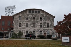 Mechanic Street Historic Districtlisted 1988 · 0.3 miles away
Population over time
2 figuresPawcatuck fell from 5,624 to 5,433 between 2010 and 2020. These are the recorded population figures Wikidata holds for this place, reached through the Geographic Names Information System number this page is keyed on rather than by name, so they belong to this place and not to another of the same name. Most are census counts, but not all are: an early figure may be a founding or settlement estimate, and an estimate published within five years of a census is left out. The change column is computed, and is left blank where more than 20 years separate a figure from the one before it, because a gap that long is not a change between two counts.
| Year | People | Change |
|---|---|---|
| 2010 | 5,624 | |
| 2020 | 5,433 | -191 (-3%) |
Topographic sheets covering this place
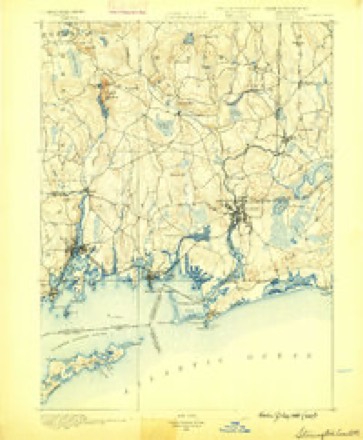
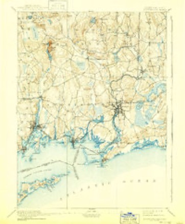
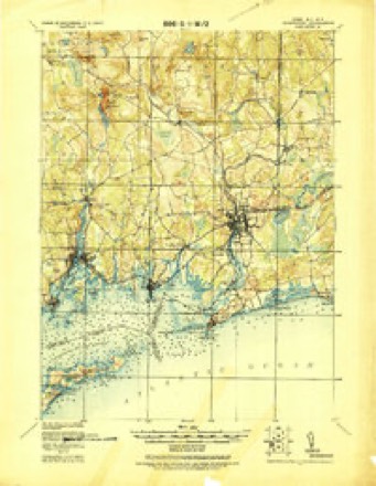
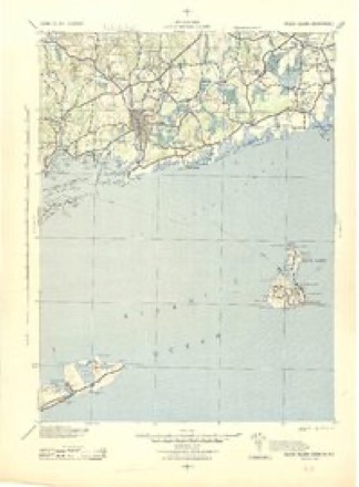
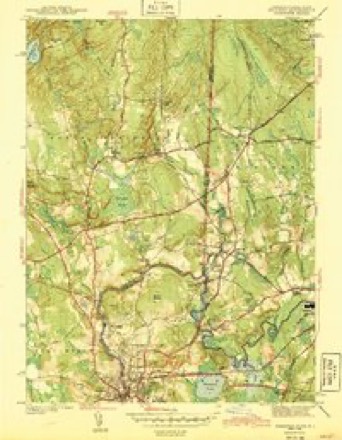
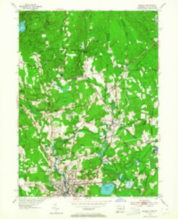
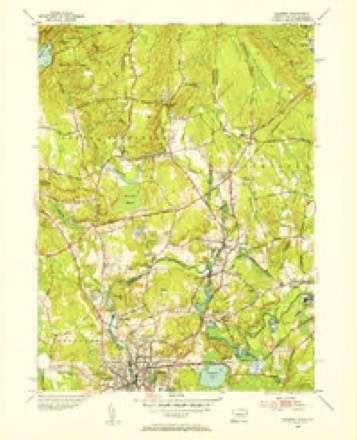
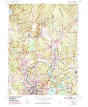
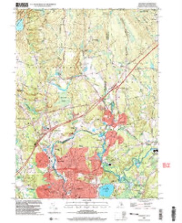
15 surveys from 34 printed sheetsMatched by testing this settlement's coordinate against the published boundary of every sheet in the United States Geological Survey's historical collection. Each opens the scanned sheet at the Survey.
- 1889 USGS Stonington quadrangle1:62500
- 1893 USGS Stonington quadrangle1:62500, 10 printings
- 1921 USGS Stonington quadrangle1:62500
- 1942 USGS Block Island quadrangle1:125000, 2 printings
- 1943 USGS Ashaway quadrangle1:31680, 2 printings
- 1947 USGS Providence quadrangle1:250000, 5 printings
- 1948 USGS Providence quadrangle1:250000
- 1953 USGS Ashaway quadrangle1:24000, 4 printings
- 1953 USGS Ashaway quadrangle1:31680
- 1957 USGS Providence quadrangle1:250000
- 1958 USGS Providence quadrangle1:250000
- 1963 USGS Providence quadrangle1:250000
- 1984 USGS Ashaway quadrangle1:24000, 2 printings
- 1984 USGS Block Island quadrangle1:100000
- 2001 USGS Ashaway quadrangle1:24000





In the county-history sources
44,106 words on this townshipHistory of New London County, Connecticut, with Biographical Sketches of Many of Its Pioneers and Prominent Men, published 1882 names this settlement in its chapter on Stonington Town. These are the passages that mention it, exactly as the scans read.
He was propounded for freeman at the General Court at Plymouth in 1645, but was not admitted until 1648. Notwithstanding the prominent part he acted in establishing the plantation of Eehoboth, and the recognition of his services by the new town, he was not treated with much favor by the General Court, which ordered him to be arrested for an affray with an Indian by the name of Vasamequine, and harshly treated him in other respects. This led him to look farther for a permanent place of abode. About this time John Winthrop, Jr., acting under a commission from the Massachusetts General Court, commenced a settlement at Nameaug, afterwards called Pequot, and then New London. Mr. Chesebrough visited the place in 1645 for the purpose of making it his future home. He was kindly treated by Mr. Winthrop, and urged to settle there, but finding the place in several respects unsuitable to his expectations, he concluded not to stay. Subsequently he examined the Pawcatuck region, and finally concluded to settle at the head of Wequetequoo Cove. He shared the friendship of Roger Williams, and was encouraged and assisted by him in removing his habitation to Pawcatuok. He did not, however, immediately remove his family here, and not until he had provided for them a comfortable place of abode. It was during the summer of 1649 that his family came to Wequetequoc and occupied their new home in the wilderness. The marsh land bordering on Wequetequoc Cove furnished hay for his stock in abundance.
Passage source: History of New London County, Connecticut, with Biographical Sketches of Many of Its Pioneers and Prominent Men, published 1882.
Mr. Chesebrough at first disregarded this order, claiming that his new home was within the jurisdiction of Massachusetts, but subsequently, acting under the advice and assurance of Mr. Winthrop and other friends at Pequot, he so far yielded to the authorities of Connecticut as to engage to appear at the General Court at Hartford in March, 1651, some sixteen months after the issue of said order, and related to them the reason why he had taken up his abode at Wequetequoc, and that he was not engaged in any unlawful trade with the Indians, and assured them that his religious opinions were orthodox, neither did he intend to remain alone in the wilderness, and was in hopes that in a short time he should be able to procure a competent company of desirable persons for the planting of the place. The court reluctantly permitted him to remain on condition that if he would give a bond of £100 not to prosecute any unlawful trade with the Indians, and that he would furnish them with the names of such persons as he could induce to settle at Pawcatuck before the next winter, they would not compel him to remove.
Passage source: History of New London County, Connecticut, with Biographical Sketches of Many of Its Pioneers and Prominent Men, published 1882.
While the planters of Pequot were friendly to Mr. Chesebrough, they preferred that he should become an inhabitant of that settlement rather than to establish a new township. In September of the same year Mr. Chesebrough again visited Hartford for the purpose of obtaining a legal title to the land he occupied. Mr. Winthrop and the deputies from Pequot engaged that if he would put himself on the footing of an inhabitant of Pequot he should have his lands confirmed to him by a grant of the town. To this he acceded, but the bounds of Pequot did not include his lands, whereupon, " on request," the court extended the bounds of the settlement to Pawcatuck Eiver, and the town in November following gave him a houselot at Pequot, which he never occupied. In January, 1652, a large tract of land was given by the town of Pequot, which was afterwards liberally enlarged until it embraced between two and three thousand acres, and was included within the following boundaries, namely, beginning at the harbor of Stonington, running northerly up the same and Lambert's Cove and Stony Brook to the old Post road, thence following said road eastwardly to Anguilla Brook, thence down said brook and Wequetequoc Cove and the Sound to the place of beginning.
Passage source: History of New London County, Connecticut, with Biographical Sketches of Many of Its Pioneers and Prominent Men, published 1882.
Machine-read from a century-old scan, so expect the errors a machine makes: misspelled names, dropped words, stray characters.
Read the whole chapter on Stonington Town - it names this place 16 more 16 times.
Fires near this place
24 since 2005Regional context, not property-specific evidence. The federal wildfire occurrence database lists 24 fires within 5 miles of Pawcatuck between 2005 and 2020, burning about 19 acres in total. None started naturally. 4 were recorded as arson. Distance is straight-line from the map coordinates, so a fire counted here may appear on a neighbouring settlement's page as well.
| Reported cause | Fires |
|---|---|
| Missing data/not specified/undetermined | 8 |
| Arson/incendiarism | 4 |
| Misuse of fire by a minor | 4 |
| Debris and open burning | 3 |
| Recreation and ceremony | 2 |
| Equipment and vehicle use | 1 |
| Smoking | 1 |
| Fireworks | 1 |
The most recent of them, most recent first, with the day each was reported and the service that recorded it.
| Date | Cause | Size | Reported by | Name on the report |
|---|---|---|---|---|
| 21 September 2020 | Missing data/not specified/undetermined | under an acre | Rhode Island Division of Forest Environment | not named |
| 4 August 2005 | Recreation and ceremony | 2.0 acres | Rhode Island Division of Forest Environment | not named |
| 26 July 2016 | Debris and open burning | under an acre | Rhode Island Division of Forest Environment | not named |
| 3 June 2008 | Arson/incendiarism | 2.0 acres | Rhode Island Division of Forest Environment | not named |
| 9 May 2015 | Missing data/not specified/undetermined | under an acre | Rhode Island Division of Forest Environment | not named |
| 5 May 2015 | Missing data/not specified/undetermined | 1.5 acres | Rhode Island Division of Forest Environment | not named |
| 25 May 2019 | Missing data/not specified/undetermined | 1.5 acres | Rhode Island Division of Forest Environment | not named |
| 16 May 2015 | Equipment and vehicle use | 1.0 acres | Rhode Island Division of Forest Environment | not named |
Settlements close enough to share some of these fires:
Mines and quarries near this place
10 of 25 shownRegional context, not property-specific evidence. The federal mineral resources record lists 25 workings within 5 miles of Pawcatuck: 19 past producers, 5 producers, 1 unknown. 5 still produce. What was taken out: Sand and Gravel, Construction, Granite, Stone, Crushed/Broken, Stone, Dimension. Distance is straight-line from the map coordinates, so a quarry counted here may appear on a neighbouring settlement's page as well.
| Where | Site | Commodity | Status | Recorded |
|---|---|---|---|---|
| Quarry | Stone, Dimension | Past Producer | ||
| Blue Westerly Granite Inc Quarry | Stone, Crushed/Broken | Past Producer | ||
| Gencarelli Company | Granite | Past Producer | Granite | |
| Murray Quarry | Granite | Past Producer | ||
| New Anguilla Quarry | Granite | Past Producer | ||
| Westerly Quarries | Stone, Crushed/Broken | Past Producer | ||
| Yard 2 Quarry | Stone, Crushed/Broken | Unknown | ||
| Allied Stone and Gravel Co | Sand and Gravel, Construction | Past Producer | Sedimentary | |
| Dunns Corner Pit | Sand and Gravel, Construction | Producer | ||
| J Romanella and Sons Sand & Gravel | Sand and Gravel, Construction | Past Producer | Sedimentary |
Storms near this place
5 since 2009Regional context, not property-specific evidence. The National Weather Service names Pawcatuck in 5 storm reports between 2009 and 2024: 2 flash flood, 1 flood, 1 tornado, 1 hail. No death or injury is recorded in these reports. Each account below is quoted exactly as the forecast office filed it, from the NOAA Storm Events Database, and each date opens the federal record of that event.
| When | Event | Place named | Harm | What the report says |
|---|---|---|---|---|
| March 2010 | Flood | Pawcatuck | $200,000 | The Pawcatuck River Bridge located on W. Broad St. and the Stillman Ave. Bridge over the Pawcatuck River were closed due to the concern that debris in the raging waters pounding the side of the roadways were damaging the integity and stability of the bridges. Several businesses along the river experienced damage due to flooding. |
| November 2021 | Tornado (EF1) | Pawcatuck | $13,500 | At approximately 4:54 PM EST on Saturday, November 13th, 2021 a |tornado touched down on Robinson Street in the Pawcatuck |neighborhood of Stonington, Connecticut. Several hardwood trees |were uprooted or snapped about half way up the trunk. A gutter was|ripped off of one home while shutters were ripped off of another.|Several trampolines were lifted, with one becoming stuck on a |powerline approximately 20 feet in the air. On Robinson Street, |crossroad Race Street, a metal shed was lifted and flipped before |being crushed by a large maple branch, with an approximate |diameter of 15 inches. Several street signs were also snapped at |their base. |
| August 2024 | Hail | Pawcatuck | - | Public reported ping pong sized hail. |
| July 2014 | Flash Flood | Pawcatuck | - | The lower Pawcatuck River exceeded bankfull flooding Mechanic St. in Pawcatuck township. |
| July 2009 | Flash Flood | Pawcatuck | - | A farm dam overtopped, flooded and closed Route 1 near Angola Brook in Pawcatuck. |
Nearest settlements
The eight closest, with where each one stands in the county. Distances are straight-line, computed from the Geographic Names Information System coordinates.
| Map | Place | Distance | Sheets |
|---|---|---|---|
| Clarks Village | 1.3 miles | 34 | |
| Wequetequock | 2.7 miles | 32 | |
| Stonington | 4.8 miles | 32 | |
| North Stonington | 5.1 miles | 31 | |
| Clarks Falls | 5.5 miles | 34 | |
| Lords Point | 5.7 miles | 32 | |
| Laurel Glen | 6.6 miles | 34 | |
| Old Mystic | 6.9 miles | 31 |
Elsewhere
Matched on this settlement's Geographic Names Information System number rather than its name, so it cannot be a different place of the same name in another state.
| Wikipedia article on Pawcatuck | An encyclopaedic summary. Its text is share-alike, so it is linked here rather than copied. |
| Wikidata item Q2657612 | The structured record the population and elevation above come from. Public domain (CC0). |
Provenance
This settlement is recorded in the Geographic Names Information System as feature 209655. The sheet list is computed by point-in-boundary test against the United States Geological Survey's historical topographic inventory. Both are works of the United States government and carry no copyright under 17 U.S.C. 105.
Wildfire. Short, Karen C. 2022. Spatial wildfire occurrence data for the United States, 1992-2020 [FPA_FOD_20221014]. 6th Edition. Fort Collins, CO: Forest Service Research Data Archive. https://doi.org/10.2737/RDS-2013-0009.6 Collected with United States Government funding and usable without additional permissions or fees.
Mines and quarries. USGS Mineral Resources Data System (MRDS) https://mrdata.usgs.gov/mrds/ A work of the United States government, no copyright under 17 U.S.C. 105.
Storms. NOAA National Centers for Environmental Information, Storm Events Database https://www.ncei.noaa.gov/stormevents/ A work of the United States government, no copyright under 17 U.S.C. 105. Narratives are quoted verbatim from the National Weather Service report and are not edited or summarised.