 Block
Leesville, Connecticut
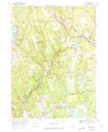
29 topographic sheets cover this place, the earliest surveyed in 1892 and the latest in 1994. It stands in East Haddam town. It lies in ZIP code area 06469. It lies near Cave Hill. The Survey maps it on the Moodus quadrangle. It stands 33 feet above sea level.
Topographic sheets covering this place
12 surveys from 29 printed sheetsMatched by testing this settlement's coordinate against the published boundary of every sheet in the United States Geological Survey's historical collection. Each opens the scanned sheet at the Survey.
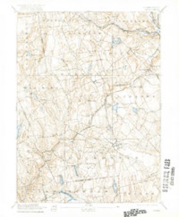
- 1892 USGS Gilead quadrangle1:62500, 7 printings
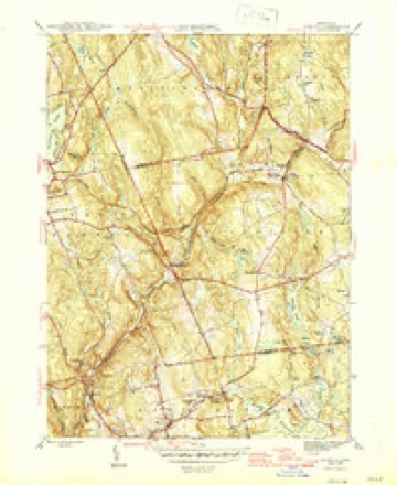
- 1946 USGS Moodus quadrangle1:31680, 2 printings
- 1947 USGS Hartford quadrangle1:250000, 2 printings
- 1948 USGS Hartford quadrangle1:250000, 2 printings
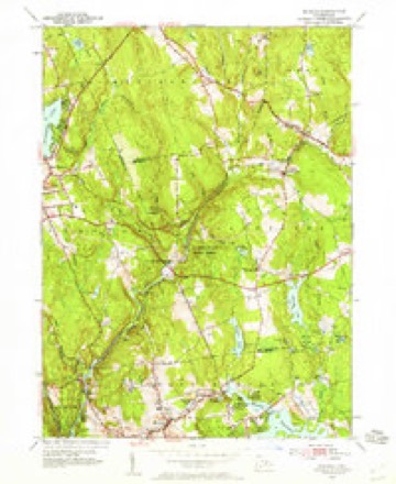
- 1952 USGS Moodus quadrangle1:24000
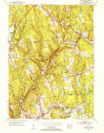
- 1952 USGS Moodus quadrangle1:31680, 2 printings
- 1961 USGS Hartford quadrangle1:250000
- 1962 USGS Hartford quadrangle1:250000, 3 printings
- 1965 USGS Hartford quadrangle1:250000, 2 printings
- 1967 USGS Moodus quadrangle1:24000, 4 printings
- 1986 USGS Hartford quadrangle1:100000
- 1994 USGS Hartford quadrangle1:100000, 2 printings







In the county-history sources
43,998 words on this townshipHistory of Middlesex County, Connecticut, with Biographical Sketches of Its Prominent Men, published 1884 names this settlement in its chapter on East Haddam Town. These are the passages that mention it, exactly as the scans read.
In the woods near Bald Hill, about two miles south of Millington Green, are the remains of the old house where lived one Will Fox. Near by is the Oakley house, where lived Dr. Root, father of Francis G. Root, of Leesville. Dr. Root afterward lived at the Warner house, on Potash Hill.
Passage source: History of Middlesex County, Connecticut, with Biographical Sketches of Its Prominent Men, published 1884.
Moodus is a contraction of the Indian word Machitmoodus, meaning " place of noises." Formerly, the place was also called Mechanicsville. Prior to 1812 but very few dwellings composed the now flourishing village. There was no manufacturing, and the small hamlet was dependent upon East Haddam Landing and Leesville for its necessary domestic supplies. An old teacher -gives a description of the place in 1815. "Assuming the boundaries to be the house of Wilbur Chapman on the west. Wigwam Brook on the south, the Alanson Gates House on the east, and the Methodist Church on the north, there were 11 dwellings and other buildings as follows:
Passage source: History of Middlesex County, Connecticut, with Biographical Sketches of Its Prominent Men, published 1884.
As early as 1792, Methodist preachers passed through the town of East Haddam on their way from Middletown and Hartford to Norwich and New London and occasionally preached here. A family of Chapmans and another by the name of Ely, living in the eastern part of the town, were among the first Methodists in East Haddam. Lorenzo Dow preached in the house of Judge Higgins, at East Haddam Landing, in 1825 and 1830. Lewis Bates and Thomas G. Brown, still living at East Hampton, are known to have preached here, besides many others whose names are unknown. Classes were formed at Millington and Leesville early in this century, but no steps were taken to build a church until the spring of 1834. At that time Danforth Burgess bought of Abner Brainerd, a piece of ground in Moodus for $50. On this lot a frame for a church building was erected in the fall of 1834. The building was completed the following year and was dedicated about November 25th 1835, Schuyler Seager, of Middletown, preaching the sermon. The building committee consisted of Danforth Burgess, Erastus Downing, Timothy F. Andrews, and David Cicero Wheeler. The church was enlarged in 1850, and in 1882 the interior was repaired and greatly improved at a cost of $750. The property now consists of a church, valued at $3,500; a parsonage, valued at $1,800; and a house on the Willimantic Camp Meeting Grounds, valued at $350. The charge was a portion of a circuit until 1844, when it became a separate station. The successive ministers have been: 1834, Leonard B. Griffin, Parden T. Kennef; 1835, Freeman Nutting, Amos Simpson; 1836, David Todd, John F. Blanchard; 1837, David Todd, assisted by students from Middletown; 1838, James Nichols, Solomon Cushman; 1839, Thomas W. Gile, assisted by students; 1840, Charles C. Barnes, Moses Stoddard; 1841, Abraham Holway, assisted by students; 1842, Lozien Pierce, Chester Field; 1843, Lozien Pierce, Ebenezer Blake;- 1844 and 1845, William S. Simmons; 1846, Benjamin L. Sayer; 1847 and 1848, Henry Tarbush; 1849, Moses Chase; 1850, George W. Brewster; 1851, Roger Albiston; 1852 and 1853, Warren
Passage source: History of Middlesex County, Connecticut, with Biographical Sketches of Its Prominent Men, published 1884.
Machine-read from a century-old scan, so expect the errors a machine makes: misspelled names, dropped words, stray characters.
Read the whole chapter on East Haddam Town - it names this place 7 more 7 times.
Fires near this place
237 since 1993Regional context, not property-specific evidence. The federal wildfire occurrence database lists 237 fires within 5 miles of Leesville between 1993 and 2020, burning about 791 acres in total. 1 started naturally. 3 were recorded as arson. Distance is straight-line from the map coordinates, so a fire counted here may appear on a neighbouring settlement's page as well.
| Reported cause | Fires |
|---|---|
| Missing data/not specified/undetermined | 133 |
| Debris and open burning | 40 |
| Recreation and ceremony | 33 |
| Misuse of fire by a minor | 13 |
| Smoking | 7 |
| Equipment and vehicle use | 4 |
| Arson/incendiarism | 3 |
| Other causes | 1 |
| Natural | 1 |
| Power generation/transmission/distribution | 1 |
| Fireworks | 1 |
The most recent of them, most recent first, with the day each was reported and the service that recorded it.
| Date | Cause | Size | Reported by | Name on the report |
|---|---|---|---|---|
| 9 September 2007 | Missing data/not specified/undetermined | under an acre | Connecticut Division of Forestry | not named |
| 8 September 2015 | Arson/incendiarism | 10 acres | Connecticut Division of Forestry | not named |
| 6 September 2015 | Recreation and ceremony | 1.0 acres | Connecticut Division of Forestry | not named |
| 3 September 2019 | Missing data/not specified/undetermined | under an acre | Connecticut Division of Forestry | not named |
| 16 September 2017 | Debris and open burning | under an acre | Connecticut Division of Forestry | 10 PONSETT RD. |
| 29 August 2015 | Missing data/not specified/undetermined | under an acre | Connecticut Division of Forestry | not named |
| 27 August 2015 | Debris and open burning | under an acre | Connecticut Division of Forestry | not named |
| 26 August 2005 | Missing data/not specified/undetermined | 1.0 acres | Connecticut Division of Forestry | not named |
Settlements close enough to share some of these fires:
Mines and quarries near this place
10 of 57 shownRegional context, not property-specific evidence. The federal mineral resources record lists 57 workings within 5 miles of Leesville: 46 past producers, 4 producers, 4 prospects, 3 occurrences. 4 still produce. What was taken out: Feldspar, Stone, Dimension, Mica, Stone. Distance is straight-line from the map coordinates, so a quarry counted here may appear on a neighbouring settlement's page as well.
| Where | Site | Commodity | Status | Recorded |
|---|---|---|---|---|
| Anderson Mica Mines and Swanson Lithia Mine | Mica, Lithium | Past Producer | Pegmatite Dike | |
| Anderson No. 1 Mica Mine | Mica, Feldspar, Lithium | Past Producer | ||
| East Selden Mica, Beryl, Feldspar Quarry | Mica, Feldspar, Tantalum, Niobium (Columbium), Beryllium | Past Producer | Pegmatite Dike | |
| Garnet Mine | Garnet | Past Producer | ||
| Gillette Gem Tourmaline, Mineral Specimens, Mica, Feldspar Mine (Also | Gemstone, Mica, Feldspar | Past Producer | 1896 | |
| Gillette Quarry | Tin, Feldspar, Semiprecious Gemstone, Mica | Past Producer | 1896 | |
| Halberg Quarries | Mica, Beryllium, Feldspar | Past Producer | ||
| Reeb Mica Mine | Feldspar, Mica | Prospect | ||
| Selden Property | Feldspar, Mica, Beryllium, Niobium (Columbium), Tantalum | Past Producer | ||
| Slocum Beryl Prospect | Feldspar, Beryllium, Mica, Niobium (Columbium), Tantalum | Past Producer |
Nearest settlements
The eight closest, with where each one stands in the county. Distances are straight-line, computed from the Geographic Names Information System coordinates.
| Map | Place | Distance | Sheets |
|---|---|---|---|
| Wopowog | 0.8 miles | 29 | |
| Johnsonville (historical) | 1.4 miles | 29 | |
| Moodus | 1.8 miles | 29 | |
| Scovill Landing | 1.8 miles | 29 | |
| Rock Landing | 2.3 miles | 26 | |
| Bashan | 2.5 miles | 29 | |
| Little Haddam | 2.8 miles | 29 | |
| Haddam | 2.9 miles | 26 |
Elsewhere
Matched on this settlement's Geographic Names Information System number rather than its name, so it cannot be a different place of the same name in another state.
| Wikipedia article on Leesville | An encyclopaedic summary. Its text is share-alike, so it is linked here rather than copied. |
| Wikidata item Q6516483 | The structured record the population and elevation above come from. Public domain (CC0). |
Provenance
This settlement is recorded in the Geographic Names Information System as feature 212495. The sheet list is computed by point-in-boundary test against the United States Geological Survey's historical topographic inventory. Both are works of the United States government and carry no copyright under 17 U.S.C. 105.
Wildfire. Short, Karen C. 2022. Spatial wildfire occurrence data for the United States, 1992-2020 [FPA_FOD_20221014]. 6th Edition. Fort Collins, CO: Forest Service Research Data Archive. https://doi.org/10.2737/RDS-2013-0009.6 Collected with United States Government funding and usable without additional permissions or fees.
Mines and quarries. USGS Mineral Resources Data System (MRDS) https://mrdata.usgs.gov/mrds/ A work of the United States government, no copyright under 17 U.S.C. 105.