 Block
Little City, Connecticut
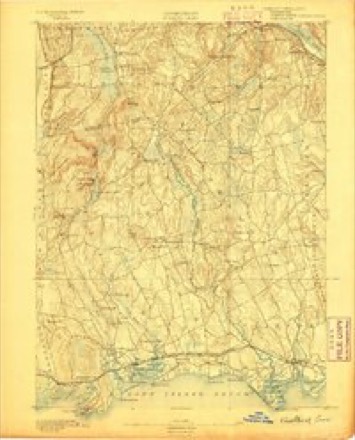
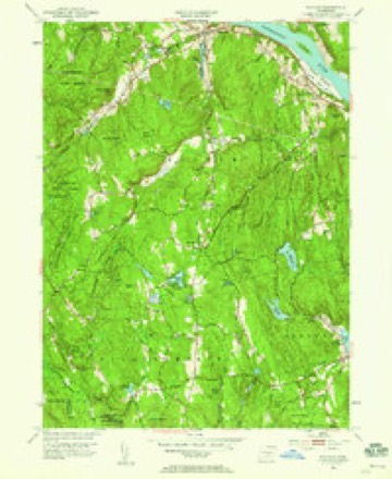
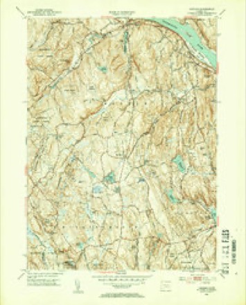
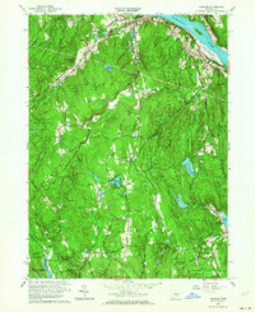
26 topographic sheets cover this place, the earliest surveyed in 1893 and the latest in 1983. It stands in Haddam town. It lies in ZIP code area 06441. It lies near Bunker Hill. The Survey maps it on the Haddam quadrangle.
Topographic sheets covering this place
10 surveys from 26 printed sheetsMatched by testing this settlement's coordinate against the published boundary of every sheet in the United States Geological Survey's historical collection. Each opens the scanned sheet at the Survey.
- 1893 USGS Guilford quadrangle1:62500, 8 printings
- 1947 USGS Hartford quadrangle1:250000, 2 printings
- 1948 USGS Hartford quadrangle1:250000, 2 printings
- 1952 USGS Haddam quadrangle1:24000
- 1952 USGS Haddam quadrangle1:31680, 2 printings
- 1961 USGS Haddam quadrangle1:24000, 3 printings
- 1961 USGS Hartford quadrangle1:250000
- 1962 USGS Hartford quadrangle1:250000, 3 printings
- 1965 USGS Hartford quadrangle1:250000, 2 printings
- 1983 USGS New Haven quadrangle1:100000, 2 printings






In the county-history sources
46,128 words on this townshipHistory of Middlesex County, Connecticut, with Biographical Sketches of Its Prominent Men, published 1884 names this settlement in its chapter on Haddam Town. These are the passages that mention it, exactly as the scans read.
No. 7, Tylerville, 67; No. 8, Walkley Hill, 19; No. 9, Brainerd District, 27: No. 10, Little City, 30; No. 11, Beaver Meadow, 26; No. 12, Burr District, 41; and Haddam Neck, 72; making a total in .the town of 647 scholars in the schools. The most of these schools were taught by men in the winter and by women in the summer.
Passage source: History of Middlesex County, Connecticut, with Biographical Sketches of Its Prominent Men, published 1884.
The Methodist Episcopal Church of Ponset, or the western part of the town, was organized in the spring of 1793. A meeting house was erected in 1795. This was 30 by 40 feet in size and had galleries on three sides. It stood about one-fourth of a mile north of the present one, just above where the road turns to Little City, the site lying between the lands now owned by Oliver Smith and Sylvester Burr. A new church, the present one, was built in 1842. At that time the Killingworth branch, which had belonged to this society, withdrew, and on its reorganization this church had 52 members. Its present membership is loi. The following preachers have been in charge at the dates given: John E. Searles, 1844; E. P. Ackerman, 1846; A. B. Pulling, 1848; George L. Fuller, 1852; D. Nash, 1854; R. D. Kirby, 1857; H. Scofield, i860; I. Sanford, 1865; A. B. Smart, 1865; B. Redford, 1868; W.W.Elder, 1872-74; Edward C. Hoag, 1877; D. N. Griffin, 1880; Edward Curtis, 1881; Samuel O. Curtice, 1882, present time.
Passage source: History of Middlesex County, Connecticut, with Biographical Sketches of Its Prominent Men, published 1884.
Little City. - The first settler here was Pelatiah Clark, who came here about the year 1740. Didimus Johnson, Joseph Burr, and a Mr. Seward settled at a later date. A saw mill in the southwest part, now owned by Philander Burr, was built in 1840. An old one had occupied the same site more than 100 years ago. The cemetery in this locality was laid out December 30th 1822.
Passage source: History of Middlesex County, Connecticut, with Biographical Sketches of Its Prominent Men, published 1884.
Machine-read from a century-old scan, so expect the errors a machine makes: misspelled names, dropped words, stray characters.
Read the whole chapter on Haddam Town - it names this place 1 more 1 time.
Fires near this place
170 since 1992Regional context, not property-specific evidence. The federal wildfire occurrence database lists 170 fires within 5 miles of Little City between 1992 and 2020, burning about 188 acres in total. 3 started naturally. 4 were recorded as arson. Distance is straight-line from the map coordinates, so a fire counted here may appear on a neighbouring settlement's page as well.
| Reported cause | Fires |
|---|---|
| Missing data/not specified/undetermined | 86 |
| Debris and open burning | 31 |
| Recreation and ceremony | 23 |
| Misuse of fire by a minor | 9 |
| Smoking | 6 |
| Power generation/transmission/distribution | 4 |
| Arson/incendiarism | 4 |
| Equipment and vehicle use | 4 |
| Natural | 3 |
The most recent of them, most recent first, with the day each was reported and the service that recorded it.
| Date | Cause | Size | Reported by | Name on the report |
|---|---|---|---|---|
| 8 September 2015 | Arson/incendiarism | 10 acres | Connecticut Division of Forestry | not named |
| 6 September 2015 | Recreation and ceremony | 1.0 acres | Connecticut Division of Forestry | not named |
| 20 September 2015 | Missing data/not specified/undetermined | under an acre | Connecticut Division of Forestry | not named |
| 16 September 2017 | Debris and open burning | under an acre | Connecticut Division of Forestry | 10 PONSETT RD. |
| 10 September 2016 | Recreation and ceremony | under an acre | Connecticut Division of Forestry | 573 KILLINGWORTH ROAD HADDAM |
| 8 August 2020 | Missing data/not specified/undetermined | under an acre | Connecticut Division of Forestry | 58 ABNER LANE |
| 8 August 2020 | Power generation/transmission/distribution | under an acre | Connecticut Division of Forestry | OXBOW RIDGE ROAD/OXBOW ROAD |
| 6 August 2016 | Missing data/not specified/undetermined | under an acre | Connecticut Division of Forestry | 41 WHITE BIRCH TRAIL HADDAM |
Settlements close enough to share some of these fires:
Mines and quarries near this place
10 of 16 shownRegional context, not property-specific evidence. The federal mineral resources record lists 16 workings within 5 miles of Little City: 15 past producers, 1 prospect. None of them still produces. What was taken out: Feldspar, Stone, Dimension, Beryllium, Mica, Feldspar, Mica. Distance is straight-line from the map coordinates, so a quarry counted here may appear on a neighbouring settlement's page as well.
| Where | Site | Commodity | Status | Recorded |
|---|---|---|---|---|
| Basalt Rock Quarries No. Ck-007 | Stone, Crushed/Broken | Past Producer | Mafic Extrusive Flows | |
| Brownstone Quarries | Flagstone | Past Producer | ||
| Granitic Gneiss Rock Quarry No. Cj-058 | Stone | Past Producer | Gneiss | |
| Limestone Quarry No. Ck-008 | Limestone, General | Past Producer | Sedimentary Beds | |
| Long Hill Gneiss Quarries | Granite | Past Producer | ||
| Pegmatite Quarry | Feldspar, Mica, Beryllium | Past Producer | ||
| Roberts Mica Prospect | Feldspar, Mica | Past Producer | Muscovite, Plagioclase, Quartz | |
| Roberts Mica Prospect | Feldspar, Mica | Prospect | ||
| Sawmill Beryl Quarry | Beryllium | Past Producer | ||
| Arnold Quarry | Stone, Dimension | Past Producer |
Nearest settlements
The eight closest, with where each one stands in the county. Distances are straight-line, computed from the Geographic Names Information System coordinates.
| Map | Place | Distance | Sheets |
|---|---|---|---|
| West Haddam | 2.5 miles | 26 | |
| Ponset | 2.6 miles | 26 | |
| Higganum | 4.1 miles | 26 | |
| Durham Center | 4.7 miles | 29 | |
| Arnolds | 4.7 miles | 26 | |
| Durham | 4.9 miles | 29 | |
| Haddam | 5.1 miles | 26 | |
| Rock Landing | 5.4 miles | 26 |
Provenance
This settlement is recorded in the Geographic Names Information System as feature 208506. The sheet list is computed by point-in-boundary test against the United States Geological Survey's historical topographic inventory. Both are works of the United States government and carry no copyright under 17 U.S.C. 105.
Wildfire. Short, Karen C. 2022. Spatial wildfire occurrence data for the United States, 1992-2020 [FPA_FOD_20221014]. 6th Edition. Fort Collins, CO: Forest Service Research Data Archive. https://doi.org/10.2737/RDS-2013-0009.6 Collected with United States Government funding and usable without additional permissions or fees.
Mines and quarries. USGS Mineral Resources Data System (MRDS) https://mrdata.usgs.gov/mrds/ A work of the United States government, no copyright under 17 U.S.C. 105.