 Block
Nut Plains, Connecticut
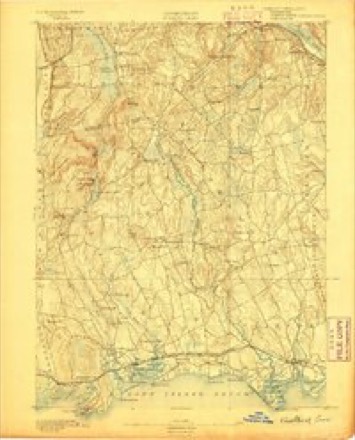
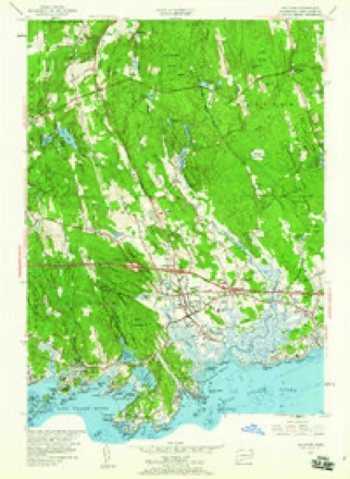
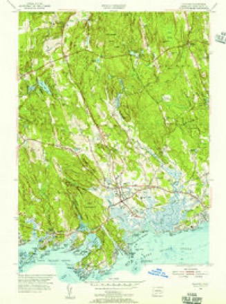
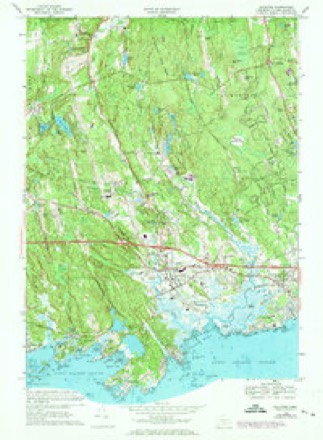
29 topographic sheets cover this place, the earliest surveyed in 1893 and the latest in 1983. It stands in Guilford town. It lies in ZIP code area 06437. It stands on Little Meadow Brook. The Survey maps it on the Guilford quadrangle.
Topographic sheets covering this place
10 surveys from 29 printed sheetsMatched by testing this settlement's coordinate against the published boundary of every sheet in the United States Geological Survey's historical collection. Each opens the scanned sheet at the Survey.
- 1893 USGS Guilford quadrangle1:62500, 8 printings
- 1947 USGS Hartford quadrangle1:250000, 2 printings
- 1948 USGS Hartford quadrangle1:250000, 2 printings
- 1954 USGS Guilford quadrangle1:24000, 3 printings
- 1954 USGS Guilford quadrangle1:31680
- 1961 USGS Hartford quadrangle1:250000
- 1962 USGS Hartford quadrangle1:250000, 3 printings
- 1965 USGS Hartford quadrangle1:250000, 2 printings
- 1968 USGS Guilford quadrangle1:24000, 5 printings
- 1983 USGS New Haven quadrangle1:100000, 2 printings






What happened here
An account from the chapter on Guilford town. The inset identifies its exact source book and publication year.
Falcon Or Faulkners Island. 2O3
Griffinr^ until 1808, when he was succeeded by Solomon Stone. During the early years of the century a vessel was wrecked on Goose Island and its crew of seven men perished from cold. The island was several times visited by boats from English men-of-war during the War of 1812, but no harm was done to the people or property, as a good light was kept burning.
In the county-history sources
233,810 words on this townshipHistory of New Haven County, Connecticut, published 1892 names this settlement in its chapter on Guilford Town. These are the passages that mention it, exactly as the scans read.
That stream, called by the Indians Ruttawoo, has its source in several brooks, or branches, in the northern part of the old town, which unite at Nut Plains. Then it takes a southwesterly course, and empties its waters into Guilford harbor, east of Guilford Point. For some distance it is a tidal stream, and is navigable for sloops to East River bridge, where are several wharves, in the town of Madison. Near its mouth are Sawpits, Quarry and the Farmers' wharves. The other principal stream of the town is the Menuncatuc, or West river, which is the outlet of Quinnebaug or Quonepaug pond, in North Guilford. This pond or lake is two miles long from north to south, and a little more than a fourth of a mile wide. Its waters are very deep, and the environing scenery is attractive. Southwest is a smaller sheet of water called West pond, whose small outlet flows into West river. The latter stream has a southerly course to the west of Guilford, borough, and empties into the harbor west of the point. It is also a tidal stream as high as the village, where small wharves have been constructed. East creek is a small stream occupying an intermediate position between the above streams, and also emptying near the neck or mouth of East river.
Passage source: History of New Haven County, Connecticut, published 1892.
Machine-read from a century-old scan, so expect the errors a machine makes: misspelled names, dropped words, stray characters.
Fires near this place
6 since 1998Regional context, not property-specific evidence. The federal wildfire occurrence database lists 6 fires within 5 miles of Nut Plains between 1998 and 2019, burning about 32 acres in total. None started naturally. None was recorded as arson. Distance is straight-line from the map coordinates, so a fire counted here may appear on a neighbouring settlement's page as well.
| Reported cause | Fires |
|---|---|
| Missing data/not specified/undetermined | 4 |
| Misuse of fire by a minor | 1 |
| Debris and open burning | 1 |
The most recent of them, most recent first, with the day each was reported and the service that recorded it.
| Date | Cause | Size | Reported by | Name on the report |
|---|---|---|---|---|
| 14 July 2019 | Missing data/not specified/undetermined | under an acre | Connecticut Division of Forestry | not named |
| 25 April 2008 | Debris and open burning | 25 acres | Connecticut Division of Forestry | not named |
| 14 April 1998 | Misuse of fire by a minor | 2.0 acres | Connecticut Division of Forestry | not named |
| 18 March 2012 | Missing data/not specified/undetermined | under an acre | Connecticut Division of Forestry | NORTH BRANFORD |
| 16 November 2019 | Missing data/not specified/undetermined | under an acre | Connecticut Division of Forestry | not named |
| 13 November 2001 | Missing data/not specified/undetermined | 5.0 acres | Connecticut Division of Forestry | not named |
Settlements close enough to share some of these fires:
Mines and quarries near this place
10 within 5 milesRegional context, not property-specific evidence. The federal mineral resources record lists 10 workings within 5 miles of Nut Plains: 9 past producers, 1 producer. 1 still produces. What was taken out: Granite, Stone, Dimension. Distance is straight-line from the map coordinates, so a quarry counted here may appear on a neighbouring settlement's page as well.
| Where | Site | Commodity | Status | Recorded |
|---|---|---|---|---|
| Leete Island Granite Rock Quarry | Stone, Dimension | Past Producer | Unknown | |
| Norcross Granite Gneiss Rock Quarries | Stone, Dimension | Past Producer | 1887 | |
| Stony Creek Granite Gneiss Quarries | Stone, Dimension | Past Producer | 1876 | |
| Leete Island Quarry | Granite | Past Producer | ||
| Norcross Quarry | Granite | Past Producer | ||
| Old Stony Creek Quarry | Granite | Past Producer | ||
| Opie Quarry | Granite | Past Producer | ||
| Stony Creek Granite Gneiss Quarries | Granite | Past Producer | ||
| Stony Creek Pink Granite Quarry | Granite | Past Producer | Granite | |
| Stony Creek Pink Granite Quarry | Granite | Producer |
Nearest settlements
The eight closest, with where each one stands in the county. Distances are straight-line, computed from the Geographic Names Information System coordinates.
| Map | Place | Distance | Sheets |
|---|---|---|---|
| Podunk | 1.7 miles | 29 | |
| Guilford | 2.5 miles | 29 | |
| North Guilford | 3.4 miles | 29 | |
| North Madison | 3.5 miles | 29 | |
| East River | 3.6 miles | 29 | |
| Leetes Island | 4.4 miles | 29 | |
| North Branford | 4.4 miles | 33 | |
| Flanders (historical) | 4.5 miles | 27 |
Provenance
This settlement is recorded in the Geographic Names Information System as feature 209429. The sheet list is computed by point-in-boundary test against the United States Geological Survey's historical topographic inventory. Both are works of the United States government and carry no copyright under 17 U.S.C. 105.
Wildfire. Short, Karen C. 2022. Spatial wildfire occurrence data for the United States, 1992-2020 [FPA_FOD_20221014]. 6th Edition. Fort Collins, CO: Forest Service Research Data Archive. https://doi.org/10.2737/RDS-2013-0009.6 Collected with United States Government funding and usable without additional permissions or fees.
Mines and quarries. USGS Mineral Resources Data System (MRDS) https://mrdata.usgs.gov/mrds/ A work of the United States government, no copyright under 17 U.S.C. 105.