 Block
North Madison, Connecticut
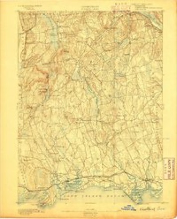
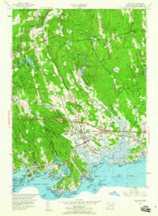
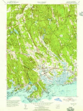
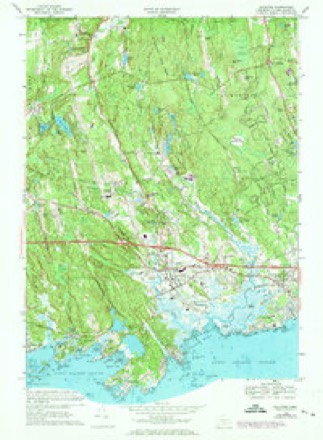
29 topographic sheets cover this place, the earliest surveyed in 1893 and the latest in 1983. It stands in Madison town. It lies in ZIP code area 06443. It lies near Walnut Hill. The Survey maps it on the Guilford quadrangle.
Topographic sheets covering this place
10 surveys from 29 printed sheetsMatched by testing this settlement's coordinate against the published boundary of every sheet in the United States Geological Survey's historical collection. Each opens the scanned sheet at the Survey.
- 1893 USGS Guilford quadrangle1:62500, 8 printings
- 1947 USGS Hartford quadrangle1:250000, 2 printings
- 1948 USGS Hartford quadrangle1:250000, 2 printings
- 1954 USGS Guilford quadrangle1:24000, 3 printings
- 1954 USGS Guilford quadrangle1:31680
- 1961 USGS Hartford quadrangle1:250000
- 1962 USGS Hartford quadrangle1:250000, 3 printings
- 1965 USGS Hartford quadrangle1:250000, 2 printings
- 1968 USGS Guilford quadrangle1:24000, 5 printings
- 1983 USGS New Haven quadrangle1:100000, 2 printings






In the county-history sources
12,265 words on this townshipHistory of New Haven County, Connecticut, published 1892 names this settlement in its chapter on Madison Town. These are the passages that mention it, exactly as the scans read.
In Madison, as in Guilford, many old houses may still be found, sixty or seventy being more than a hundred years old. Among the very old ones remaining are, at Hammonassett, the Nathan Bradley house, built in 1G80; in Madison village, the Deacon John French house, built in 1675, and the Deacon John Graves house, built in 1680; in the Neck district, the Bassett house, built in 1680; in the Woods district, the Return Jonathan Wilcox house, built in 1680; and in the North Madison section a house owned in 1890 by Nelson A. Taylor, built in 1689. Madison warmly united with Guilford, in September, 1889, in celebrating the 250th anniversary of the settlement of the town, the services being begun September 8th, by the exercises in the Madison church, when the Reverend J. A. Gallup preached the historical sermon. Much of the data for this sketch has been gleaned from his researches.
Passage source: History of New Haven County, Connecticut, published 1892.
The architect and builder of the new meeting house was Mr. Volney Pierce. A very sad accident occurred in raising a heavy truss beam. The frame of the tower to which it was attached, and by which it was being raised, gave way and fell, precipitating those on it to the ground. Two workmen, by the name of H. M. Pierce and John A. Smith, were instantly killed. This was May 19th, 1838. The bell of the old house was sold to the society in North Madison, and a new one procured for this house. The tower clock, which still regulates the time-pieces of the village, was transferred to its present position from the old meeting house. The new meeting house was formally dedicated November 21st, 1838. The following year the basement was fitted ud for a town hall and has since so been used.
Passage source: History of New Haven County, Connecticut, published 1892.
The North Madison Congregational church was regularly constituted in 1757. The North Madison locality was first settled by the Bristol family and a few others, who for many years attended church at Guilford, and after the formation of the First or East Guilford society, at the latter place. Samuel Bristol died in 1692. He had two sons, Samuel and Bezaleel. The latter was born in 1681, and became a very prominent man in that community and the town, as did also his sons, Bezaleel, Richard and Nathan. He was active in his efforts to have a distinct society, and when that liberty was granted, on their petition of March 5th, 1752, the society was named for him. North Bristol. This title the church and society retained until about 1830, when the present name was adopted.
Passage source: History of New Haven County, Connecticut, published 1892.
Machine-read from a century-old scan, so expect the errors a machine makes: misspelled names, dropped words, stray characters.
Read the whole chapter on Madison Town - it names this place 6 more 6 times.
Fires near this place
54 since 1994Regional context, not property-specific evidence. The federal wildfire occurrence database lists 54 fires within 5 miles of North Madison between 1994 and 2020, burning about 98 acres in total. 1 started naturally. 1 was recorded as arson. Distance is straight-line from the map coordinates, so a fire counted here may appear on a neighbouring settlement's page as well.
| Reported cause | Fires |
|---|---|
| Missing data/not specified/undetermined | 22 |
| Debris and open burning | 17 |
| Recreation and ceremony | 9 |
| Misuse of fire by a minor | 2 |
| Arson/incendiarism | 1 |
| Smoking | 1 |
| Natural | 1 |
| Power generation/transmission/distribution | 1 |
The most recent of them, most recent first, with the day each was reported and the service that recorded it.
| Date | Cause | Size | Reported by | Name on the report |
|---|---|---|---|---|
| 18 September 2017 | Missing data/not specified/undetermined | under an acre | Connecticut Division of Forestry | 216 RIVER RD. |
| 12 September 2016 | Debris and open burning | under an acre | Connecticut Division of Forestry | 76 LAUREL RIDGE TRAIL KILLINGWORTH |
| 8 August 2020 | Missing data/not specified/undetermined | under an acre | Connecticut Division of Forestry | 58 ABNER LANE |
| 4 August 2008 | Debris and open burning | under an acre | Connecticut Division of Forestry | not named |
| 20 August 2016 | Debris and open burning | under an acre | Connecticut Division of Forestry | 116 COW HILL ROAD KILLINGWORTH |
| 13 August 2015 | Missing data/not specified/undetermined | under an acre | Connecticut Division of Forestry | not named |
| 29 July 1999 | Natural | 3.0 acres | Connecticut Division of Forestry | not named |
| 14 July 2019 | Missing data/not specified/undetermined | under an acre | Connecticut Division of Forestry | not named |
Settlements close enough to share some of these fires:
Mines and quarries near this place
4 within 5 milesRegional context, not property-specific evidence. The federal mineral resources record lists 4 workings within 5 miles of North Madison: 4 past producers. None of them still produces. What was taken out: Stone, Crushed/Broken, Limestone, General, Stone, Stone, Dimension. Distance is straight-line from the map coordinates, so a quarry counted here may appear on a neighbouring settlement's page as well.
| Where | Site | Commodity | Status | Recorded |
|---|---|---|---|---|
| Basalt Rock Quarries No. Ck-007 | Stone, Crushed/Broken | Past Producer | Mafic Extrusive Flows | |
| Gneissic Rock Or Feldspar Pegmatite Quarry No. Ck-009 | Stone | Past Producer | ||
| Limestone Quarry No. Ck-008 | Limestone, General | Past Producer | Sedimentary Beds | |
| Quarry | Stone, Dimension | Past Producer |
Storms near this place
3 since 2010Regional context, not property-specific evidence. The National Weather Service names North Madison in 3 storm reports between 2010 and 2020: 2 thunderstorm wind, 1 hail. No death or injury is recorded in these reports. Each account below is quoted exactly as the forecast office filed it, from the NOAA Storm Events Database, and each date opens the federal record of that event.
| When | Event | Place named | Harm | What the report says |
|---|---|---|---|---|
| August 2020 | Thunderstorm Wind | North Madison | $3,000 | Tree down on powerlines at Colonial Road and Warpas Road. |
| September 2010 | Thunderstorm Wind | North Madison | $500 | Trees were downed on Race Hill Road in Madison. |
| July 2012 | Hail | North Madison | - | no account filed |
Nearest settlements
The eight closest, with where each one stands in the county. Distances are straight-line, computed from the Geographic Names Information System coordinates.
| Map | Place | Distance | Sheets |
|---|---|---|---|
| Podunk | 2.7 miles | 29 | |
| Nut Plains | 3.5 miles | 29 | |
| Rockland | 3.7 miles | 29 | |
| North Guilford | 4.3 miles | 29 | |
| Flanders (historical) | 4.3 miles | 27 | |
| East River | 5.1 miles | 29 | |
| Guilford | 5.4 miles | 29 | |
| Beaver Head Corner | 5.6 miles | 29 |
Provenance
This settlement is recorded in the Geographic Names Information System as feature 209362. The sheet list is computed by point-in-boundary test against the United States Geological Survey's historical topographic inventory. Both are works of the United States government and carry no copyright under 17 U.S.C. 105.
Wildfire. Short, Karen C. 2022. Spatial wildfire occurrence data for the United States, 1992-2020 [FPA_FOD_20221014]. 6th Edition. Fort Collins, CO: Forest Service Research Data Archive. https://doi.org/10.2737/RDS-2013-0009.6 Collected with United States Government funding and usable without additional permissions or fees.
Mines and quarries. USGS Mineral Resources Data System (MRDS) https://mrdata.usgs.gov/mrds/ A work of the United States government, no copyright under 17 U.S.C. 105.
Storms. NOAA National Centers for Environmental Information, Storm Events Database https://www.ncei.noaa.gov/stormevents/ A work of the United States government, no copyright under 17 U.S.C. 105. Narratives are quoted verbatim from the National Weather Service report and are not edited or summarised.