 Block
Pleasant Valley, Connecticut
31 topographic sheets cover this place, the earliest surveyed in 1892 and the latest in 1994. It stands in Barkhamsted town. It lies in ZIP code area 06063. It stands on Morgan Brook. The Survey maps it on the New Hartford quadrangle. 161 people lived here at the 2020 count. It stands 410 feet above sea level.
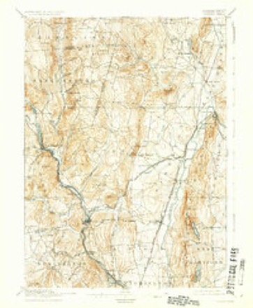
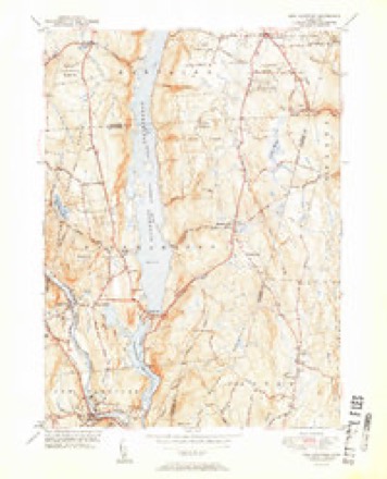
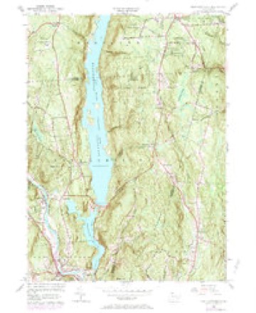
Topographic sheets covering this place
11 surveys from 31 printed sheetsMatched by testing this settlement's coordinate against the published boundary of every sheet in the United States Geological Survey's historical collection. Each opens the scanned sheet at the Survey.
- 1892 USGS Granby quadrangle1:62500, 8 printings
- 1906 USGS Farmington quadrangle1:125000, 2 printings
- 1947 USGS Hartford quadrangle1:250000, 2 printings
- 1948 USGS Hartford quadrangle1:250000, 2 printings
- 1951 USGS New Hartford quadrangle1:31680, 2 printings
- 1956 USGS New Hartford quadrangle1:24000, 6 printings
- 1961 USGS Hartford quadrangle1:250000
- 1962 USGS Hartford quadrangle1:250000, 3 printings
- 1965 USGS Hartford quadrangle1:250000, 2 printings
- 1986 USGS Hartford quadrangle1:100000
- 1994 USGS Hartford quadrangle1:100000, 2 printings








In the county-history sources
5,901 words on this townshipHistory of Litchfield County, Connecticut, published 1881 names this settlement in its chapter on Barkhamsted Town. These are the passages that mention it, exactly as the scans read.
The first mill-privilege utilized in Barkhamsted seems to have been on Morgan Eiver, near Pleasant Valley. In the old proprietors' book it is recorded that a meeting was called in May, 1701, among otlier purpose.s, " To see if the I'ropriotors will give liberty to any of the Proprietors to set up a saw-mill upon Morgan Eiver, either by sale of tiie place or by a lease for any certain number of years." At thia meeting it was voted to lease out this mill-place " for the space of eleven years from the time of leasing, whicli must be accomplished witliiii six weeks." Capt. Benjamin Griswold and Henry Allyii were appointed a committee to lea-se out said mill-place for said term. When this mill-place was actually leased and tlie mill built dues not appear, but a saw-mill has been in operation there since the memory of man. Somewhat earlier than tlie year ISOO a saw-mill upon this site was owned by I'elatiah Allyii and .\sa Gilbert, of Barkham.stcd, and Jonathan Marsh, of New Hartford. Whether this was the mill built under the original lease is not certain. It is probable that it was a second mill. Years later it was rebuilt by Capt. Alanson Merrell, Uriel !?|)encer, anil Edward Marsh, but it is said the wheel and power were never as good a.s the previous one. Thi.s mill was formerly used to a great extent by New Hartfortl people. To the above Elias Eoot succeeded in the ownership. The property is now owned and occupied by E. A. Eogers, who came from Tyriiigliam, Mass., in 1877, purchased the property, and immediately commenced the manufacture of hay-rakes. This industry is carried on in addition to the general saw-mill business, which is continued. Mr. Eogeni employs five bauds, and turns off three thousand rakes per annum, which he exports to different portions of Europe and Australia. This is still considered an excellent water-power.
Passage source: History of Litchfield County, Connecticut, published 1881.
About a nule above the mouth of Morgan River, on the West Branch of the Farmington River, a saw-mill was built by Eben Woodruff in 1814. Mr. Woodruff, who came to Pleasant Valley about this time, was a religious man, and has been called the fiither of Methodism in that locality. He was a very long-bodied man, and people used to say he was taller when he sat down than when he stood up. He continued the saw-mill for many years, and then sold out to Julius C. Pratt.
Passage source: History of Litchfield County, Connecticut, published 1881.
About a mile farther up the river is situated the little hamlet of Youngsdale. In the year 1800, Joshua Youngs, of Farmington, purchased a tract of timber-land on both sides of the Farmington River, about midway between the north and south boundaries of the town ; adjoining lands were bought by him and his heirs until the tract contained some six hundred and fifty acres. His three sons, Thomas, Constant, and John, came into possession upon the decease of their father, holding it in common and undivided, and receiving very little income from it, until 1836, at which time Daniel and Constant Youngs, sons of Constant, then deceased, and grandsons of the first-named purchaser, removed from Farmington and located upon the tract, about one mile north of the bridge at Pleasant Valley. Here they constructed a dam across the river, and built a saw-mill and shop, for the purpose of preparing the timber for market, making, among other things, shingles, bedsteads, chair stock, stock for plate-locks, clothes-pins, etc., employing several men. In 1848, their brother, Edward J., commenced the manufacture of saw-handles in a part of the shop, employing six to eight men. In 1851 Constant sold his interest in the business to his brother Daniel, and afterwards removed to Norfolk, where he died (drowned) in 1879. In 1858, Daniel and Edward J. Youngs put their businesses together under the firmname of D. & E. J. Youngs, and have occupied the premises until the present time, having extended their business, using not only timber from their own land, but buying largely from others.
Passage source: History of Litchfield County, Connecticut, published 1881.
Machine-read from a century-old scan, so expect the errors a machine makes: misspelled names, dropped words, stray characters.
Read the whole chapter on Barkhamsted Town - it names this place 1 more 1 time.
Fires near this place
180 since 1997Regional context, not property-specific evidence. The federal wildfire occurrence database lists 180 fires within 5 miles of Pleasant Valley between 1997 and 2020, burning about 133 acres in total. None started naturally. 5 were recorded as arson. Distance is straight-line from the map coordinates, so a fire counted here may appear on a neighbouring settlement's page as well.
| Reported cause | Fires |
|---|---|
| Missing data/not specified/undetermined | 143 |
| Debris and open burning | 14 |
| Recreation and ceremony | 13 |
| Arson/incendiarism | 5 |
| Smoking | 2 |
| Other causes | 1 |
| Railroad operations and maintenance | 1 |
| Misuse of fire by a minor | 1 |
The most recent of them, most recent first, with the day each was reported and the service that recorded it.
| Date | Cause | Size | Reported by | Name on the report |
|---|---|---|---|---|
| 7 September 2020 | Missing data/not specified/undetermined | under an acre | Connecticut Division of Forestry | 10 BAKER STREET |
| 7 September 2020 | Missing data/not specified/undetermined | under an acre | Connecticut Division of Forestry | 98 SPENCER STREET |
| 4 September 2017 | Missing data/not specified/undetermined | under an acre | Connecticut Division of Forestry | 332 NILES RD |
| 4 September 2017 | Missing data/not specified/undetermined | under an acre | Connecticut Division of Forestry | 21 COTTAGE ST |
| 30 September 2006 | Missing data/not specified/undetermined | under an acre | Connecticut Division of Forestry | not named |
| 25 September 2011 | Missing data/not specified/undetermined | under an acre | Connecticut Division of Forestry | NEW HARTFORD |
| 24 September 2019 | Missing data/not specified/undetermined | under an acre | Connecticut Division of Forestry | not named |
| 23 September 2020 | Missing data/not specified/undetermined | 1.0 acres | Connecticut Division of Forestry | 2 INDIAN HILL ROAD |
Settlements close enough to share some of these fires:
Mines and quarries near this place
10 within 5 milesRegional context, not property-specific evidence. The federal mineral resources record lists 10 workings within 5 miles of Pleasant Valley: 8 past producers, 1 producer, 1 prospect. 1 still produces. What was taken out: Stone, Dimension, Stone, Sand and Gravel, Construction, Mica. Distance is straight-line from the map coordinates, so a quarry counted here may appear on a neighbouring settlement's page as well.
| Where | Site | Commodity | Status | Recorded |
|---|---|---|---|---|
| Asbestos Mine | Asbestos | Past Producer | ||
| Blc Pit | Sand and Gravel, Construction | Producer | ||
| Knapp Mica Prospect | Mica, Feldspar | Past Producer | Muscovite, Plagioclase, Quartz | |
| Knapp Mica Prospect | Feldspar, Mica | Prospect | ||
| Gneiss Rock Quarry No. Ei-003 | Stone | Past Producer | Gneiss | |
| Granitic Gneiss Rock Quarry No. Ei-001 | Stone | Past Producer | Gneiss | |
| Gneiss Rock Quarry No. Ei-003 | Stone, Dimension | Past Producer | ||
| Granitic Gneiss Rock Quarry | Stone, Dimension | Past Producer | ||
| Riprap Quarry | Stone, Dimension | Past Producer | ||
| Soapstone Mine No. Di-007 | Stone, Dimension | Past Producer | Soapstone, Steatite |
Nearest settlements
The eight closest, with where each one stands in the county. Distances are straight-line, computed from the Geographic Names Information System coordinates.
| Map | Place | Distance | Sheets |
|---|---|---|---|
| Barkhampsted Center | 1.6 miles | 31 | |
| New Hartford | 2.1 miles | 31 | |
| Pine Meadow | 2.7 miles | 31 | |
| Puddle Town | 3.5 miles | 30 | |
| Riverton | 3.8 miles | 35 | |
| Mooreville | 3.8 miles | 35 | |
| Winsted | 3.9 miles | 35 | |
| Nelsons Corner | 4.1 miles | 35 |
Elsewhere
Matched on this settlement's Geographic Names Information System number rather than its name, so it cannot be a different place of the same name in another state.
| Wikipedia article on Pleasant Valley | An encyclopaedic summary. Its text is share-alike, so it is linked here rather than copied. |
| Wikidata item Q106506412 | The structured record the population and elevation above come from. Public domain (CC0). |
Provenance
This settlement is recorded in the Geographic Names Information System as feature 209846. The sheet list is computed by point-in-boundary test against the United States Geological Survey's historical topographic inventory. Both are works of the United States government and carry no copyright under 17 U.S.C. 105.
Wildfire. Short, Karen C. 2022. Spatial wildfire occurrence data for the United States, 1992-2020 [FPA_FOD_20221014]. 6th Edition. Fort Collins, CO: Forest Service Research Data Archive. https://doi.org/10.2737/RDS-2013-0009.6 Collected with United States Government funding and usable without additional permissions or fees.
Mines and quarries. USGS Mineral Resources Data System (MRDS) https://mrdata.usgs.gov/mrds/ A work of the United States government, no copyright under 17 U.S.C. 105.