 Block
Riverdale, Connecticut
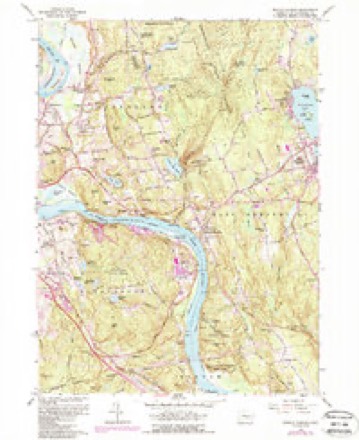
35 topographic sheets cover this place, the earliest surveyed in 1893 and the latest in 1994. It stands in Portland town. It lies in ZIP code area 06480. It lies near Straits Hill. The Survey maps it on the Middle Haddam quadrangle.
Topographic sheets covering this place
13 surveys from 35 printed sheetsMatched by testing this settlement's coordinate against the published boundary of every sheet in the United States Geological Survey's historical collection. Each opens the scanned sheet at the Survey.
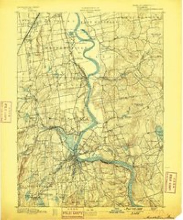
- 1893 USGS Middletown quadrangle1:62500, 10 printings
- 1906 USGS Farmington quadrangle1:125000, 2 printings
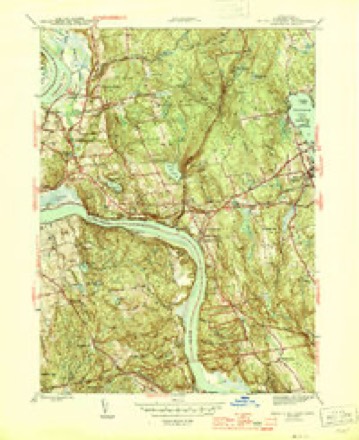
- 1945 USGS Middle Haddam quadrangle1:31680, 2 printings
- 1947 USGS Hartford quadrangle1:250000, 2 printings
- 1948 USGS Hartford quadrangle1:250000, 2 printings
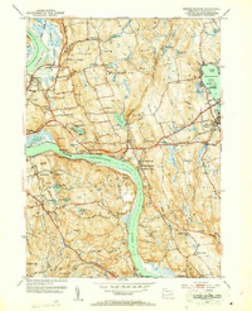
- 1952 USGS Middle Haddam quadrangle1:31680, 2 printings
- 1952 USGS Middle Haddam quadrangle1:24000
- 1961 USGS Hartford quadrangle1:250000
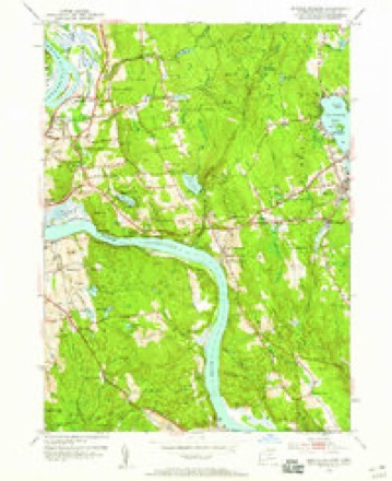
- 1961 USGS Middle Haddam quadrangle1:24000, 5 printings
- 1962 USGS Hartford quadrangle1:250000, 3 printings
- 1965 USGS Hartford quadrangle1:250000, 2 printings
- 1986 USGS Hartford quadrangle1:100000
- 1994 USGS Hartford quadrangle1:100000, 2 printings








In the county-history sources
40,974 words on this townshipHistory of Middlesex County, Connecticut, with Biographical Sketches of Its Prominent Men, published 1884 has no passage naming this settlement, which was common for smaller places. Its township is covered in full.
The chapter on Portland Town covers the township.
Read the chapter on Portland Town - 40,974 words.
Fires near this place
102 since 1996Regional context, not property-specific evidence. The federal wildfire occurrence database lists 102 fires within 5 miles of Riverdale between 1996 and 2020, burning about 530 acres in total. None started naturally. 6 were recorded as arson. Distance is straight-line from the map coordinates, so a fire counted here may appear on a neighbouring settlement's page as well.
| Reported cause | Fires |
|---|---|
| Missing data/not specified/undetermined | 66 |
| Debris and open burning | 17 |
| Recreation and ceremony | 11 |
| Arson/incendiarism | 6 |
| Smoking | 1 |
| Misuse of fire by a minor | 1 |
The most recent of them, most recent first, with the day each was reported and the service that recorded it.
| Date | Cause | Size | Reported by | Name on the report |
|---|---|---|---|---|
| 9 September 2007 | Missing data/not specified/undetermined | under an acre | Connecticut Division of Forestry | not named |
| 30 September 2007 | Debris and open burning | under an acre | Connecticut Division of Forestry | not named |
| 26 September 2017 | Missing data/not specified/undetermined | under an acre | Connecticut Division of Forestry | 810 SAYBROOK RD. |
| 5 August 2007 | Missing data/not specified/undetermined | 1.0 acres | Connecticut Division of Forestry | not named |
| 29 August 2015 | Missing data/not specified/undetermined | under an acre | Connecticut Division of Forestry | not named |
| 28 August 2017 | Recreation and ceremony | under an acre | Connecticut Division of Forestry | NORTH MULFORD RD. |
| 27 August 2015 | Debris and open burning | under an acre | Connecticut Division of Forestry | not named |
| 5 July 2010 | Arson/incendiarism | 2.0 acres | Connecticut Division of Forestry | not named |
Settlements close enough to share some of these fires:
Mines and quarries near this place
10 of 98 shownRegional context, not property-specific evidence. The federal mineral resources record lists 98 workings within 5 miles of Riverdale: 77 past producers, 9 prospects, 8 producers, 3 occurrences. 9 still produce. What was taken out: Feldspar, Mica, Stone, Dimension, Beryllium, Mica. Distance is straight-line from the map coordinates, so a quarry counted here may appear on a neighbouring settlement's page as well.
| Where | Site | Commodity | Status | Recorded |
|---|---|---|---|---|
| Anderson Mica Mines and Swanson Lithia Mine | Mica, Lithium | Past Producer | Pegmatite Dike | |
| Anderson No. 1 Mica Mine | Mica, Feldspar, Lithium | Past Producer | ||
| Case Beryl Prospects | Feldspar, Beryllium, Mica, Silica, Niobium (Columbium), Tantalum | Past Producer | ||
| Chatham Great Hill Cobalt Nickel Arsenopyrite Mine | Arsenic, Iron, Nickel, Cobalt, Sulfur, Zinc, Lead, Copper | Past Producer | 1661 | |
| East Selden Mica, Beryl, Feldspar Quarry | Mica, Feldspar, Tantalum, Niobium (Columbium), Beryllium | Past Producer | Pegmatite Dike | |
| Garnet Mine | Garnet | Past Producer | ||
| Gotta-Walden Mica-Beryl Prospect | Beryllium, Feldspar, Mica, Tantalum, Niobium (Columbium), Silica | Prospect | ||
| Governor Winthrops Mine | Gold | Past Producer | ||
| Halberg Quarries | Mica, Beryllium, Feldspar | Past Producer | ||
| Hale-Walker Beryl Prospect and Feldspar Mine | Beryllium, Tantalum, Niobium (Columbium), Feldspar | Past Producer | 1932 |
Storms near this place
1 since 2010Regional context, not property-specific evidence. The National Weather Service names Riverdale in 1 storm report in 2010: 1 thunderstorm wind. No death or injury is recorded in these reports. Each account below is quoted exactly as the forecast office filed it, from the NOAA Storm Events Database, and each date opens the federal record of that event.
| When | Event | Place named | Harm | What the report says |
|---|---|---|---|---|
| July 2010 | Thunderstorm Wind | Riverdale | $75,000 | A National Weather Service Storm Survey team, along with officials from Portland Emergency Management, found damage consistent with microburst winds up to 110 mph along a swath approximately 2 miles long. The damage swath began near the intersection of State Route 66 and Middle Haddam Road in Portland and ended about 2 miles to the east at Keighly Pond Road in the town of East Hampton. The damage path was approximately 0.5 miles wide at its eastern edge and 1.5 miles wide at its western edge, indicative of divergent winds.||Significant damage to many large, mainly hardwood, trees was observed throughout the damage path, with trees averaging 80 feet in height and up to 2 feet in diameter snapped, in almost all cases, 20 to 30 feet above the ground. This is indicative of wind speeds of 90 to 110 mph.||Most of the damage was observed generally along Middle Haddam Road, with trees mostly oriented directly east or east-southeast. To the north, along Breezy Corners Road and Jobs Pond Road, tree damage was oriented east or east-northeast. To the south, along Lyman Lane and Wellwyn Road, trees were oriented to the southeast. This pattern also indicated diverging winds.||Damage to structures was confined to those in open areas away from trees. One such building, a Farm Center on Middle Haddam Road had a large section of roof ripped off that was carried by the wind for about 100 yards. Other buildings in open areas received minor damage to windows and screens. |
Nearest settlements
The eight closest, with where each one stands in the county. Distances are straight-line, computed from the Geographic Names Information System coordinates.
| Map | Place | Distance | Sheets |
|---|---|---|---|
| Benvenue (historical) | 0.1 miles | 35 | |
| Cobalt Landing | 1.2 miles | 35 | |
| Cobalt | 1.5 miles | 35 | |
| Maromas | 1.7 miles | 35 | |
| Middle Haddam | 1.8 miles | 35 | |
| Fogelmarks Corners | 3.0 miles | 35 | |
| Gildersleeve | 3.2 miles | 35 | |
| Portland | 3.2 miles | 36 |
Provenance
This settlement is recorded in the Geographic Names Information System as feature 212557. The sheet list is computed by point-in-boundary test against the United States Geological Survey's historical topographic inventory. Both are works of the United States government and carry no copyright under 17 U.S.C. 105.
Wildfire. Short, Karen C. 2022. Spatial wildfire occurrence data for the United States, 1992-2020 [FPA_FOD_20221014]. 6th Edition. Fort Collins, CO: Forest Service Research Data Archive. https://doi.org/10.2737/RDS-2013-0009.6 Collected with United States Government funding and usable without additional permissions or fees.
Mines and quarries. USGS Mineral Resources Data System (MRDS) https://mrdata.usgs.gov/mrds/ A work of the United States government, no copyright under 17 U.S.C. 105.
Storms. NOAA National Centers for Environmental Information, Storm Events Database https://www.ncei.noaa.gov/stormevents/ A work of the United States government, no copyright under 17 U.S.C. 105. Narratives are quoted verbatim from the National Weather Service report and are not edited or summarised.