 Block
Rockland, Connecticut
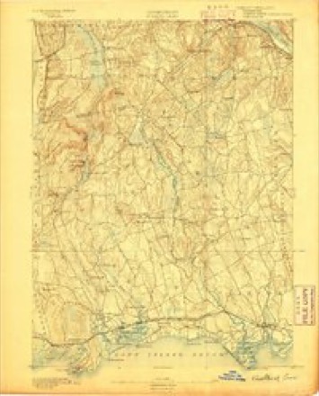
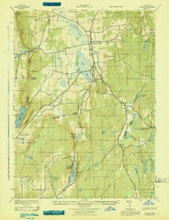
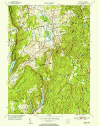
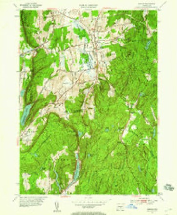
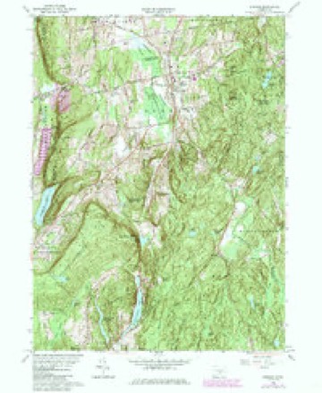
29 topographic sheets cover this place, the earliest surveyed in 1893 and the latest in 1983. It stands in Madison town. It lies in ZIP code area 06443. The Survey maps it on the Durham quadrangle.
Topographic sheets covering this place
11 surveys from 29 printed sheetsMatched by testing this settlement's coordinate against the published boundary of every sheet in the United States Geological Survey's historical collection. Each opens the scanned sheet at the Survey.
- 1893 USGS Guilford quadrangle1:62500, 8 printings
- 1943 USGS Durham quadrangle1:25000
- 1947 USGS Hartford quadrangle1:250000, 2 printings
- 1948 USGS Hartford quadrangle1:250000, 2 printings
- 1953 USGS Durham quadrangle1:31680, 2 printings
- 1953 USGS Durham quadrangle1:24000, 2 printings
- 1961 USGS Hartford quadrangle1:250000
- 1962 USGS Hartford quadrangle1:250000, 3 printings
- 1964 USGS Durham quadrangle1:24000, 4 printings
- 1965 USGS Hartford quadrangle1:250000, 2 printings
- 1983 USGS New Haven quadrangle1:100000, 2 printings






In the county-history sources
12,265 words on this townshipHistory of New Haven County, Connecticut, published 1892 names this settlement in its chapter on Madison Town. These are the passages that mention it, exactly as the scans read.
Methodism was introduced into the Black Rock or Rockland district of Madison much earlier. A class was there organized before the present century, and a meeting house was built in that locality about 1803. The membership has never been large, and the circuit relations extend into the adjoining county.
Passage source: History of New Haven County, Connecticut, published 1892.
The Summer Hill Cemetery is also controlled by an association, which secured its charter in 1868. Its use is limited to the people of that locality, as is also the cemetery at Rockland, in the northern part of the town, to the inhabitants of the upper end of Madison. For each of these five cemeteries the town provided sextons in 1890.
Passage source: History of New Haven County, Connecticut, published 1892.
Machine-read from a century-old scan, so expect the errors a machine makes: misspelled names, dropped words, stray characters.
Fires near this place
45 since 2010Regional context, not property-specific evidence. The federal wildfire occurrence database lists 45 fires within 5 miles of Rockland between 2010 and 2020, burning about 24 acres in total. None started naturally. None was recorded as arson. Distance is straight-line from the map coordinates, so a fire counted here may appear on a neighbouring settlement's page as well.
| Reported cause | Fires |
|---|---|
| Missing data/not specified/undetermined | 22 |
| Debris and open burning | 15 |
| Recreation and ceremony | 5 |
| Power generation/transmission/distribution | 2 |
| Fireworks | 1 |
The most recent of them, most recent first, with the day each was reported and the service that recorded it.
| Date | Cause | Size | Reported by | Name on the report |
|---|---|---|---|---|
| 8 August 2020 | Missing data/not specified/undetermined | under an acre | Connecticut Division of Forestry | 58 ABNER LANE |
| 6 August 2016 | Missing data/not specified/undetermined | under an acre | Connecticut Division of Forestry | 41 WHITE BIRCH TRAIL HADDAM |
| 5 August 2015 | Debris and open burning | under an acre | Connecticut Division of Forestry | not named |
| 30 August 2019 | Recreation and ceremony | under an acre | Connecticut Division of Forestry | not named |
| 13 August 2015 | Missing data/not specified/undetermined | 1.0 acres | Connecticut Division of Forestry | not named |
| 10 August 2015 | Missing data/not specified/undetermined | under an acre | Connecticut Division of Forestry | not named |
| 4 July 2016 | Fireworks | under an acre | Connecticut Division of Forestry | 6 COE ROAD DURHAM |
| 23 July 2016 | Debris and open burning | under an acre | Connecticut Division of Forestry | REISMAN TRAIL HADDEM CT |
Settlements close enough to share some of these fires:
Mines and quarries near this place
10 within 5 milesRegional context, not property-specific evidence. The federal mineral resources record lists 10 workings within 5 miles of Rockland: 10 past producers. None of them still produces. What was taken out: Stone, Dimension, Stone, Crushed/Broken, Limestone, General, Stone. Distance is straight-line from the map coordinates, so a quarry counted here may appear on a neighbouring settlement's page as well.
| Where | Site | Commodity | Status | Recorded |
|---|---|---|---|---|
| Brownstone Quarries | Flagstone | Past Producer | ||
| Gneissic Rock Or Feldspar Pegmatite Quarry No. Ck-009 | Stone | Past Producer | ||
| Limestone Quarry No. Ck-008 | Limestone, General | Past Producer | Sedimentary Beds | |
| Basalt Rock Quarries No. Ck-006 | Stone, Crushed/Broken | Past Producer | Basalt | |
| Basalt Rock Quarries No. Ck-007 | Stone, Crushed/Broken | Past Producer | Mafic Extrusive Flows | |
| Coe Lime Co. Quarry | Stone, Crushed/Broken | Past Producer | ||
| Basalt Rock Quarry No. Ck-006. | Stone, Dimension | Past Producer | ||
| Brownstone Sandstone Quarries No. Ck-004 | Stone, Dimension | Past Producer | Sandstone | |
| Quarry | Stone, Dimension | Past Producer | ||
| Traprock Quarries | Stone, Dimension | Past Producer |
Storms near this place
2 since 2014Regional context, not property-specific evidence. The National Weather Service names Rockland in 2 storm reports between 2014 and 2024: 1 thunderstorm wind, 1 hail. No death or injury is recorded in these reports. Each account below is quoted exactly as the forecast office filed it, from the NOAA Storm Events Database, and each date opens the federal record of that event.
| When | Event | Place named | Harm | What the report says |
|---|---|---|---|---|
| July 2014 | Thunderstorm Wind | Rockland | $2,000 | A tree was reported down at the intersection of Dorset Lane and Route 79. |
| August 2024 | Hail | Rockland | - | Video on social media of 1.00 to 1.25 inch hail. |
Nearest settlements
The eight closest, with where each one stands in the county. Distances are straight-line, computed from the Geographic Names Information System coordinates.
| Map | Place | Distance | Sheets |
|---|---|---|---|
| North Madison | 3.7 miles | 29 | |
| Beaver Head Corner | 4.4 miles | 29 | |
| North Guilford | 4.5 miles | 29 | |
| Podunk | 6.2 miles | 29 | |
| Nut Plains | 6.2 miles | 29 | |
| Northford | 7.3 miles | 32 | |
| East Wallingford | 7.4 miles | 32 | |
| Flanders (historical) | 8.0 miles | 27 |
Provenance
This settlement is recorded in the Geographic Names Information System as feature 210259. The sheet list is computed by point-in-boundary test against the United States Geological Survey's historical topographic inventory. Both are works of the United States government and carry no copyright under 17 U.S.C. 105.
Wildfire. Short, Karen C. 2022. Spatial wildfire occurrence data for the United States, 1992-2020 [FPA_FOD_20221014]. 6th Edition. Fort Collins, CO: Forest Service Research Data Archive. https://doi.org/10.2737/RDS-2013-0009.6 Collected with United States Government funding and usable without additional permissions or fees.
Mines and quarries. USGS Mineral Resources Data System (MRDS) https://mrdata.usgs.gov/mrds/ A work of the United States government, no copyright under 17 U.S.C. 105.
Storms. NOAA National Centers for Environmental Information, Storm Events Database https://www.ncei.noaa.gov/stormevents/ A work of the United States government, no copyright under 17 U.S.C. 105. Narratives are quoted verbatim from the National Weather Service report and are not edited or summarised.