 Block
Wequetequock, Connecticut
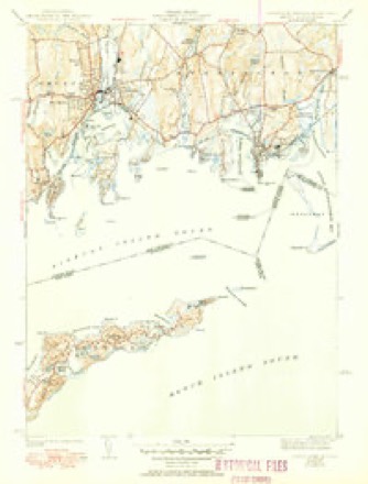
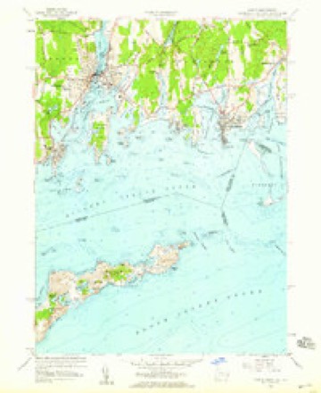
32 topographic sheets cover this place, the earliest surveyed in 1889 and the latest in 1984. It stands in Stonington town. It lies in ZIP code area 06379. It stands on Wequetequock Hill. The Survey maps it on the Mystic quadrangle.
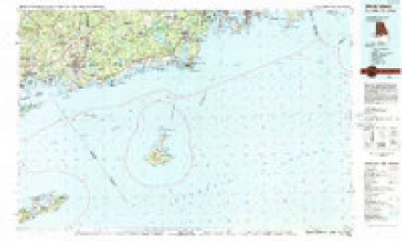
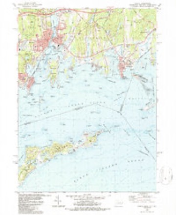
Topographic sheets covering this place
13 surveys from 32 printed sheetsMatched by testing this settlement's coordinate against the published boundary of every sheet in the United States Geological Survey's historical collection. Each opens the scanned sheet at the Survey.
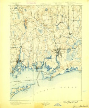
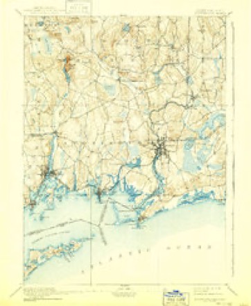
- 1889 USGS Stonington quadrangle1:62500
- 1893 USGS Stonington quadrangle1:62500, 10 printings
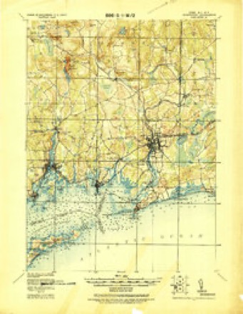
- 1921 USGS Stonington quadrangle1:62500
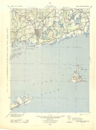
- 1942 USGS Block Island quadrangle1:125000, 2 printings
- 1944 USGS Mystic quadrangle1:31680, 3 printings
- 1947 USGS Providence quadrangle1:250000, 5 printings
- 1948 USGS Providence quadrangle1:250000
- 1957 USGS Providence quadrangle1:250000
- 1958 USGS Mystic quadrangle1:24000, 3 printings
- 1958 USGS Providence quadrangle1:250000
- 1963 USGS Providence quadrangle1:250000
- 1984 USGS Block Island quadrangle1:100000
- 1984 USGS Mystic quadrangle1:24000, 2 printings





In the county-history sources
44,106 words on this townshipHistory of New London County, Connecticut, with Biographical Sketches of Many of Its Pioneers and Prominent Men, published 1882 names this settlement in its chapter on Stonington Town. These are the passages that mention it, exactly as the scans read.
Mr. Chesebrough was a man of more than ordinary ability, and held positions of trust not only in the Massachusetts colony, but was prominent at the settlement of the town of Rehoboth, in Plymouth colony. After his place at Wequetequock was included in the township of Pequot he was elected deputy thereof to the General Court at Hartford in 1653-54-55, and on one occasion rate-maker or assessor.
Passage source: History of New London County, Connecticut, with Biographical Sketches of Many of Its Pioneers and Prominent Men, published 1882.
In 1645 they left Hingham, and joined the first planters of New London, and received a grant of a home-lot;' built a house thereon, and continued to live there until 1652, when he came to Stonington, and took up a tract of land on the eastern side of Wequetequock Cove, and erected a dwelling-house thereon the same year.
Passage source: History of New London County, Connecticut, with Biographical Sketches of Many of Its Pioneers and Prominent Men, published 1882.
three hundred acres of land, which was located by the grant east of Chesebrough's land, and laid out by Governor Haynes on the east side of and adjoining Wequetequock Cove, overlapping Thomas Minor's land. Walter Palmer was then living at Rehoboth, and being anxious to locate himself near his old friend Chesebrough, efetered into negotiations with Governor Haynes for the purchase of this land. The bargain was made some time before the deed was executed ; in fact. Governor Haynes gave Thomas Minor a written authority to put Walter Palmer in possession of this land Feb. 15, 1653, which he did May 30, 1653. But the conveyance of Haynes to Palmer was not executed until July 15, 1653.
Passage source: History of New London County, Connecticut, with Biographical Sketches of Many of Its Pioneers and Prominent Men, published 1882.
Machine-read from a century-old scan, so expect the errors a machine makes: misspelled names, dropped words, stray characters.
Fires near this place
5 since 2008Regional context, not property-specific evidence. The federal wildfire occurrence database lists 5 fires within 5 miles of Wequetequock between 2008 and 2019, burning about 6 acres in total. None started naturally. 1 was recorded as arson. Distance is straight-line from the map coordinates, so a fire counted here may appear on a neighbouring settlement's page as well.
| Reported cause | Fires |
|---|---|
| Missing data/not specified/undetermined | 2 |
| Arson/incendiarism | 1 |
| Debris and open burning | 1 |
| Misuse of fire by a minor | 1 |
The most recent of them, most recent first, with the day each was reported and the service that recorded it.
| Date | Cause | Size | Reported by | Name on the report |
|---|---|---|---|---|
| 26 July 2016 | Debris and open burning | under an acre | Rhode Island Division of Forest Environment | not named |
| 3 June 2008 | Arson/incendiarism | 2.0 acres | Rhode Island Division of Forest Environment | not named |
| 5 May 2015 | Missing data/not specified/undetermined | 1.5 acres | Rhode Island Division of Forest Environment | not named |
| 25 May 2019 | Missing data/not specified/undetermined | 1.5 acres | Rhode Island Division of Forest Environment | not named |
| 24 April 2014 | Misuse of fire by a minor | under an acre | Rhode Island Division of Forest Environment | not named |
Settlements close enough to share some of these fires:
Mines and quarries near this place
10 of 18 shownRegional context, not property-specific evidence. The federal mineral resources record lists 18 workings within 5 miles of Wequetequock: 14 past producers, 3 producers, 1 unknown. 3 still produce. What was taken out: Sand and Gravel, Construction, Granite, Stone, Crushed/Broken, Stone, Dimension. Distance is straight-line from the map coordinates, so a quarry counted here may appear on a neighbouring settlement's page as well.
| Where | Site | Commodity | Status | Recorded |
|---|---|---|---|---|
| Quarry | Stone, Dimension | Past Producer | ||
| Quarry | Stone, Dimension | Past Producer | ||
| Blue Westerly Granite Inc Quarry | Stone, Crushed/Broken | Past Producer | ||
| Gencarelli Company | Granite | Past Producer | Granite | |
| Murray Quarry | Granite | Past Producer | ||
| New Anguilla Quarry | Granite | Past Producer | ||
| Westerly Quarries | Stone, Crushed/Broken | Past Producer | ||
| Yard 2 Quarry | Stone, Crushed/Broken | Unknown | ||
| Allied Stone and Gravel Co | Sand and Gravel, Construction | Past Producer | Sedimentary | |
| Moran Sand and Gravel Pit | Sand and Gravel, Construction | Past Producer | Sedimentary |
Storms near this place
3 since 2010Regional context, not property-specific evidence. The National Weather Service names Wequetequock in 3 storm reports between 2010 and 2021: 1 flood, 1 flash flood, 1 thunderstorm wind. No death or injury is recorded in these reports. Each account below is quoted exactly as the forecast office filed it, from the NOAA Storm Events Database, and each date opens the federal record of that event.
| When | Event | Place named | Harm | What the report says |
|---|---|---|---|---|
| September 2021 | Flash Flood | Wequetequock | $706,240 | Heavy rain and flash flooding resulted in uninsured damages of $706,239 across New London County. |
| March 2010 | Flood | Wequetequock | $25,000 | In Stonington, a bridge on Greenhaven Rd. between Palmer Neck Rd. and Route 1 that spans over what is usually a small creek that flows into the Wequetequock Cove was destroyed by flood waters. A large section of the road was also washed away and several nearby homes were flooded. |
| November 2021 | Thunderstorm Wind | Wequetequock | $5,000 | Several trees snapped on property and powerlines down on Stonington road. |
Nearest settlements
The eight closest, with where each one stands in the county. Distances are straight-line, computed from the Geographic Names Information System coordinates.
| Map | Place | Distance | Sheets |
|---|---|---|---|
| Clarks Village | 1.8 miles | 34 | |
| Stonington | 2.1 miles | 32 | |
| Pawcatuck | 2.7 miles | 34 | |
| Lords Point | 3.0 miles | 32 | |
| Mystic Seaport | 4.6 miles | 32 | |
| Mystic | 4.6 miles | 32 | |
| Old Mystic | 4.9 miles | 31 | |
| West Mystic | 5.5 miles | 32 |
Provenance
This settlement is recorded in the Geographic Names Information System as feature 211912. The sheet list is computed by point-in-boundary test against the United States Geological Survey's historical topographic inventory. Both are works of the United States government and carry no copyright under 17 U.S.C. 105.
Wildfire. Short, Karen C. 2022. Spatial wildfire occurrence data for the United States, 1992-2020 [FPA_FOD_20221014]. 6th Edition. Fort Collins, CO: Forest Service Research Data Archive. https://doi.org/10.2737/RDS-2013-0009.6 Collected with United States Government funding and usable without additional permissions or fees.
Mines and quarries. USGS Mineral Resources Data System (MRDS) https://mrdata.usgs.gov/mrds/ A work of the United States government, no copyright under 17 U.S.C. 105.
Storms. NOAA National Centers for Environmental Information, Storm Events Database https://www.ncei.noaa.gov/stormevents/ A work of the United States government, no copyright under 17 U.S.C. 105. Narratives are quoted verbatim from the National Weather Service report and are not edited or summarised.