 Block
West Avon, Connecticut
31 topographic sheets cover this place, the earliest surveyed in 1892 and the latest in 1994. It stands in Avon town. It lies in ZIP code area 06001. It lies near Thompson Hill. The Survey maps it on the Avon quadrangle.
Topographic sheets covering this place
11 surveys from 31 printed sheetsMatched by testing this settlement's coordinate against the published boundary of every sheet in the United States Geological Survey's historical collection. Each opens the scanned sheet at the Survey.
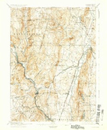
- 1892 USGS Granby quadrangle1:62500, 8 printings
- 1906 USGS Farmington quadrangle1:125000, 2 printings
- 1947 USGS Hartford quadrangle1:250000, 2 printings
- 1948 USGS Hartford quadrangle1:250000, 2 printings
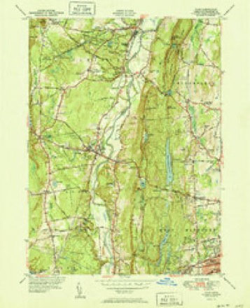
- 1951 USGS Avon quadrangle1:31680, 2 printings
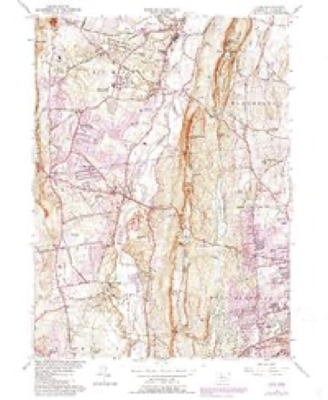
- 1957 USGS Avon quadrangle1:24000, 6 printings
- 1961 USGS Hartford quadrangle1:250000
- 1962 USGS Hartford quadrangle1:250000, 3 printings
- 1965 USGS Hartford quadrangle1:250000, 2 printings
- 1986 USGS Hartford quadrangle1:100000
- 1994 USGS Hartford quadrangle1:100000, 2 printings








In the county-history sources
2,709 words on this townshipThe Memorial History of Hartford County, Connecticut, 1633-1884;, published 1886 names this settlement in its chapter on Avon Town. These are the passages that mention it, exactly as the scans read.
of a new meeting-liouse led to its division, in 1818, on the passing of a vote by a small majority (44 to 37) to locate the new house on the spot now occupied, in West Avon. This decision was hastened by the burning of the old meeting-house in December, 1817, as Avas supposed by an incendiary. On the passage of this vote the minority seceded, and in the same year organized the parish now known as East Avon, under the name of the United Religious Association of Farmington. The separation was finally made with kind expressions of Christian love and fellowship, and the new church was constituted by the Hartford North Consociation, the Rev. Abel Flint, Moderator, as the third church in Farmington. Besides erecting their meeting-house, the new society raised by subscription more than 85,000 for a permanent fund to support preaching. Upwards of $15,000 was raised for church purposes, in this population of less than a thousand, within a year after the secession of the new church.
Passage source: The Memorial History of Hartford County, Connecticut, 1633-1884;, published 1886.
(Loomis) Bartlett. He was a descendant, on his mother's side, of John Carver, the first Governor of Plymouth Colony. He pursued his theological studies under the direction of Dr. Dwight, and ordained in 1811 at New York. From 1830 he was settled church in Wintonbury (now Bloomfield), in this county. Resigning this charge on account of ill health, he acted as agent of the American Bible Society till 1885, when he was installed in West Avon. In 1847 he retired from the active work of the ministry, and resided in East Avon until his death in 186G, at the age of eighty-one. He married at Warren, New York, September, 1812, Jane, daughter of Judge David Golden, and had eleven children.
Passage source: The Memorial History of Hartford County, Connecticut, 1633-1884;, published 1886.
Machine-read from a century-old scan, so expect the errors a machine makes: misspelled names, dropped words, stray characters.
Fires near this place
20 since 1996Regional context, not property-specific evidence. The federal wildfire occurrence database lists 20 fires within 5 miles of West Avon between 1996 and 2020, burning about 70 acres in total. None started naturally. 1 was recorded as arson. Distance is straight-line from the map coordinates, so a fire counted here may appear on a neighbouring settlement's page as well.
| Reported cause | Fires |
|---|---|
| Missing data/not specified/undetermined | 12 |
| Recreation and ceremony | 4 |
| Misuse of fire by a minor | 2 |
| Equipment and vehicle use | 1 |
| Arson/incendiarism | 1 |
The most recent of them, most recent first, with the day each was reported and the service that recorded it.
| Date | Cause | Size | Reported by | Name on the report |
|---|---|---|---|---|
| 2 September 2001 | Missing data/not specified/undetermined | 2.0 acres | Connecticut Division of Forestry | not named |
| 2 August 2001 | Recreation and ceremony | 2.0 acres | Connecticut Division of Forestry | not named |
| 2 August 1997 | Misuse of fire by a minor | under an acre | Connecticut Division of Forestry | not named |
| 7 June 1999 | Missing data/not specified/undetermined | under an acre | Connecticut Division of Forestry | not named |
| 24 June 2020 | Missing data/not specified/undetermined | 1.0 acres | Connecticut Division of Forestry | WINDSOR COURT |
| 23 June 2020 | Missing data/not specified/undetermined | under an acre | Connecticut Division of Forestry | WEST MAIN STREET |
| 8 April 2000 | Equipment and vehicle use | 6.0 acres | Connecticut Division of Forestry | not named |
| 8 April 2000 | Missing data/not specified/undetermined | 30 acres | Connecticut Division of Forestry | not named |
Settlements close enough to share some of these fires:
Mines and quarries near this place
10 of 26 shownRegional context, not property-specific evidence. The federal mineral resources record lists 26 workings within 5 miles of West Avon: 22 past producers, 2 plants, 2 producers. 4 still produce. What was taken out: Sand and Gravel, Construction, Stone, Dimension, Stone, Crushed/Broken, Flagstone. Distance is straight-line from the map coordinates, so a quarry counted here may appear on a neighbouring settlement's page as well.
| Where | Site | Commodity | Status | Recorded |
|---|---|---|---|---|
| Copper Mine No. Di-008 | Sulfur, Copper | Past Producer | Metamorphosed Sedimentary | |
| Lead Mine | Lead | Past Producer | ||
| Brownstone Quarry | Flagstone | Past Producer | ||
| Sandstone Quarry | Flagstone | Past Producer | ||
| Sandstone Quarry #Di-012 | Flagstone | Past Producer | ||
| Basalt Rock Quarry No. Di-010 | Stone, Crushed/Broken | Past Producer | Basalt | |
| Basalt Rock Quarry No. Di-011 | Stone, Crushed/Broken | Past Producer | Basalt | |
| Basalt Rock Quarry No. Dj-021 | Stone, Crushed/Broken | Past Producer | Basalt | |
| Lime Quarry | Stone, Crushed/Broken | Past Producer | ||
| Millstone Quarry | Stone, Dimension | Past Producer |
Nearest settlements
The eight closest, with where each one stands in the county. Distances are straight-line, computed from the Geographic Names Information System coordinates.
| Map | Place | Distance | Sheets |
|---|---|---|---|
| Lovely Street | 1.6 miles | 30 | |
| Avon Park South | 1.7 miles | 31 | |
| Crowleys Corner | 1.9 miles | 31 | |
| Cherry Park | 2.0 miles | 30 | |
| Avon Park North | 2.2 miles | 31 | |
| Huckleberry Hills Trails | 2.2 miles | 30 | |
| Old Avon Village | 2.2 miles | 31 | |
| Avon | 2.2 miles | 31 |
Provenance
This settlement is recorded in the Geographic Names Information System as feature 212587. The sheet list is computed by point-in-boundary test against the United States Geological Survey's historical topographic inventory. Both are works of the United States government and carry no copyright under 17 U.S.C. 105.
Wildfire. Short, Karen C. 2022. Spatial wildfire occurrence data for the United States, 1992-2020 [FPA_FOD_20221014]. 6th Edition. Fort Collins, CO: Forest Service Research Data Archive. https://doi.org/10.2737/RDS-2013-0009.6 Collected with United States Government funding and usable without additional permissions or fees.
Mines and quarries. USGS Mineral Resources Data System (MRDS) https://mrdata.usgs.gov/mrds/ A work of the United States government, no copyright under 17 U.S.C. 105.