 Block
West Simsbury, Connecticut
31 topographic sheets cover this place, the earliest surveyed in 1892 and the latest in 1994. It stands in Simsbury town. It lies in ZIP code area 06092. It lies near The Sugarloaf. The Survey maps it on the Avon quadrangle. 2,521 people lived here at the 2020 count. It stands 323 feet above sea level.
Population over time
2 figuresWest Simsbury grew from 2,447 to 2,521 between 2010 and 2020. These are the recorded population figures Wikidata holds for this place, reached through the Geographic Names Information System number this page is keyed on rather than by name, so they belong to this place and not to another of the same name. Most are census counts, but not all are: an early figure may be a founding or settlement estimate, and an estimate published within five years of a census is left out. The change column is computed, and is left blank where more than 20 years separate a figure from the one before it, because a gap that long is not a change between two counts.
| Year | People | Change |
|---|---|---|
| 2010 | 2,447 | |
| 2020 | 2,521 | +74 (+3%) |
Topographic sheets covering this place
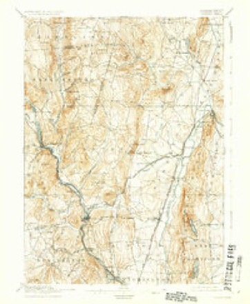
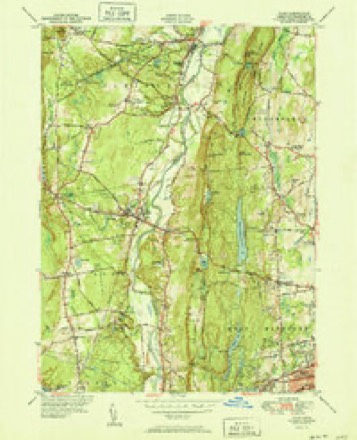
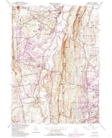
11 surveys from 31 printed sheetsMatched by testing this settlement's coordinate against the published boundary of every sheet in the United States Geological Survey's historical collection. Each opens the scanned sheet at the Survey.
- 1892 USGS Granby quadrangle1:62500, 8 printings
- 1906 USGS Farmington quadrangle1:125000, 2 printings
- 1947 USGS Hartford quadrangle1:250000, 2 printings
- 1948 USGS Hartford quadrangle1:250000, 2 printings
- 1951 USGS Avon quadrangle1:31680, 2 printings
- 1957 USGS Avon quadrangle1:24000, 6 printings
- 1961 USGS Hartford quadrangle1:250000
- 1962 USGS Hartford quadrangle1:250000, 3 printings
- 1965 USGS Hartford quadrangle1:250000, 2 printings
- 1986 USGS Hartford quadrangle1:100000
- 1994 USGS Hartford quadrangle1:100000, 2 printings








In the county-history sources
9,008 words on this townshipThe Memorial History of Hartford County, Connecticut, 1633-1884;, published 1886 names this settlement in its chapter on Simsbury Town. These are the passages that mention it, exactly as the scans read.
In 1786 the town was divided by act of the legislature, - the northern half, taking with it half the population as well as territory, behig set off and incorporated as the town of Granby. Again, in 1806, Simsbury was divided by a north and south line, west of which the territory formerly called West Simsbury was incorporated as a town, to be called Canton. By this division the poi)idation of Simsbury was again reduced by nearly one half ; so that in 1810 the census showed a population of about 1,900. But even this did not suffice ; in 1843, by an act of the legislature, all that part of Simsbury lying east of Talcott Mountain, comprising " a tract of land about five miles from north to south, and one mile wide, containing about three hundred and fifty persons, was annexed to the town of Bloomfield." Thus again w^as the population of Simsbury materially diminished and its area reduced, so that from being one of the largest it has become one of the smallest towns of the State. Its area now covers only ihe original Massaco Avhicli !Manahannoose and his friends conveyed to John Griffin. It is bounded on the north by Granby and East Granby ; on the east is Talcott ]\Iountain, whose crest line separates it from Bloomfield ; and Mount Philip is in the extreme southeast. These mountains pi'csent tow^ard the west a mural front, with only three passes over them within the limits of the town : the first is at Wetaug, between Mount Philij) and Talcott ]\Iountain ; the second, at Terry's Plain, two or three miles north of the first, through wdiich passes the old county road fi'om Granville, Mass., to Hartford ; the third and only remaining pass is at the Falls, between Simsbury and Granby, Avhere the Farmington River breaks through the mountain ridge on its Avay to the Connecticut at Windsor. Here passes not only the common or carriage road, but also the Hartford and Connecticut Western Railroad, from Hartford to tlic north Avestern part of the State and the great West. Here too is the beautiful and
Passage source: The Memorial History of Hartford County, Connecticut, 1633-1884;, published 1886.
Machine-read from a century-old scan, so expect the errors a machine makes: misspelled names, dropped words, stray characters.
Read the whole chapter on Simsbury Town - it names this place 1 more 1 time.
Fires near this place
70 since 1994Regional context, not property-specific evidence. The federal wildfire occurrence database lists 70 fires within 5 miles of West Simsbury between 1994 and 2020, burning about 136 acres in total. None started naturally. 8 were recorded as arson. Distance is straight-line from the map coordinates, so a fire counted here may appear on a neighbouring settlement's page as well.
| Reported cause | Fires |
|---|---|
| Missing data/not specified/undetermined | 39 |
| Recreation and ceremony | 10 |
| Arson/incendiarism | 8 |
| Debris and open burning | 8 |
| Misuse of fire by a minor | 2 |
| Smoking | 2 |
| Equipment and vehicle use | 1 |
The most recent of them, most recent first, with the day each was reported and the service that recorded it.
| Date | Cause | Size | Reported by | Name on the report |
|---|---|---|---|---|
| 30 September 2006 | Missing data/not specified/undetermined | under an acre | Connecticut Division of Forestry | not named |
| 23 September 2020 | Missing data/not specified/undetermined | 1.0 acres | Connecticut Division of Forestry | 2 INDIAN HILL ROAD |
| 2 September 2001 | Missing data/not specified/undetermined | 2.0 acres | Connecticut Division of Forestry | not named |
| 9 August 2001 | Missing data/not specified/undetermined | 2.0 acres | Connecticut Division of Forestry | not named |
| 5 August 2007 | Missing data/not specified/undetermined | under an acre | Connecticut Division of Forestry | not named |
| 24 August 2019 | Missing data/not specified/undetermined | under an acre | Connecticut Division of Forestry | not named |
| 2 August 2001 | Recreation and ceremony | 2.0 acres | Connecticut Division of Forestry | not named |
| 2 August 1997 | Misuse of fire by a minor | under an acre | Connecticut Division of Forestry | not named |
Settlements close enough to share some of these fires:
Mines and quarries near this place
10 of 13 shownRegional context, not property-specific evidence. The federal mineral resources record lists 13 workings within 5 miles of West Simsbury: 10 past producers, 1 prospect, 1 producer, 1 plant. 2 still produce. What was taken out: Sand and Gravel, Construction, Stone, Dimension, Mica, Feldspar. Distance is straight-line from the map coordinates, so a quarry counted here may appear on a neighbouring settlement's page as well.
| Where | Site | Commodity | Status | Recorded |
|---|---|---|---|---|
| Copper Mine No. Di-008 | Sulfur, Copper | Past Producer | Metamorphosed Sedimentary | |
| Knapp Mica Prospect | Mica, Feldspar | Past Producer | Muscovite, Plagioclase, Quartz | |
| Knapp Mica Prospect | Feldspar, Mica | Prospect | ||
| Lead Mine | Lead | Past Producer | ||
| Sandstone Quarry #Di-005 | Flagstone | Past Producer | ||
| Millstone Quarry | Stone, Dimension | Past Producer | ||
| Quarry | Stone, Dimension | Past Producer | ||
| Sandstone Quarry No. Di-005 | Stone, Dimension | Past Producer | Sandstone | |
| Avon Plant | Sand and Gravel, Construction | Plant | ||
| Hart's Pit | Sand and Gravel, Construction | Producer |
Nearest settlements
The eight closest, with where each one stands in the county. Distances are straight-line, computed from the Geographic Names Information System coordinates.
| Map | Place | Distance | Sheets |
|---|---|---|---|
| Tootin' Hills | 1.1 miles | 31 | |
| North Canton | 2.5 miles | 31 | |
| Pine Hill | 2.6 miles | 31 | |
| Weatogue | 2.6 miles | 31 | |
| Firetown | 2.9 miles | 31 | |
| Bahre Corner | 2.9 miles | 30 | |
| Simsbury | 3.0 miles | 31 | |
| Canton Valley | 3.2 miles | 30 |
Elsewhere
Matched on this settlement's Geographic Names Information System number rather than its name, so it cannot be a different place of the same name in another state.
| Wikipedia article on West Simsbury | An encyclopaedic summary. Its text is share-alike, so it is linked here rather than copied. |
| Wikidata item Q225124 | The structured record the population and elevation above come from. Public domain (CC0). |
Provenance
This settlement is recorded in the Geographic Names Information System as feature 212592. The sheet list is computed by point-in-boundary test against the United States Geological Survey's historical topographic inventory. Both are works of the United States government and carry no copyright under 17 U.S.C. 105.
Wildfire. Short, Karen C. 2022. Spatial wildfire occurrence data for the United States, 1992-2020 [FPA_FOD_20221014]. 6th Edition. Fort Collins, CO: Forest Service Research Data Archive. https://doi.org/10.2737/RDS-2013-0009.6 Collected with United States Government funding and usable without additional permissions or fees.
Mines and quarries. USGS Mineral Resources Data System (MRDS) https://mrdata.usgs.gov/mrds/ A work of the United States government, no copyright under 17 U.S.C. 105.