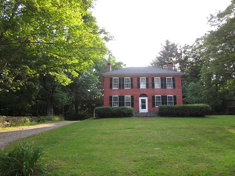
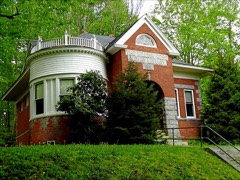
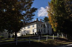
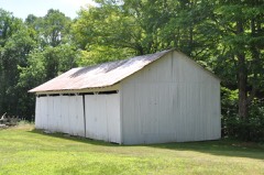
Listed on the National Register of Historic Places in 1970.
From the record
“The Witter House is a historic house on Chaplin Street in Chaplin, Connecticut. Built in 1820-21, it is a high-quality and little-altered example of Federal period architecture executed in brick.”
Wikipedia article Witter House, CC BY-SA 4.0.
One of 82 National Register listings published here for Windham County · listed in 1970 · category: Building.
National Register reference number.70000704- the number the National Park Service assigned this property when it was listed, and the key its nomination file is catalogued under at the National Archives.
The northwest part of Hampton was for many years held mostly by non-residents. But few attempts were made at settlement in that section. The first permanent settler of whom we have any knowledge was Benjamin Chaplin, whose father, a deacon by the same name, lived in the southwest part of Pomfret. On arriving at his majority, he went into the wilderness, and for a while lived a solitary life here, in a clearing which he had made on the banks of the Natchaug. Here he engaged in making baskets and wooden trays. In 1747 he married Mary Ross, a widow, the daughter of Seth Paine, of Brooklyn. Not long after, he built a large and handsome mansion, still known as the old Chaplin house, where he reared a numerous family. Mrs. Chaplin equalled her husband in thrift and economy, and they soon accumulated property. Like his father-in-law, Mr. Chaplin was a skillful surveyor, and became very familiar with all the land in his vicinity, and often was able to buy large tracts at a small price. In 1756 Mr. Chaplin purchased of William and Martha Brattle, of Cambridge, for ;£'1,647, seventeen hundred and sixty-five acres of land, mostly east of the Natchaug and crossing it in nine places, which, with other acquisitions, gave him a princely domain. Some eligible sites were sold to settlers from Windham and adjoining towns, but the greater part was retained in his own possession. He laid out plans, built houses and barns, and otherwise exercised his ownership and disposition to improve his estate. He was a man of strongly marked character, shrewd and far-seeing, a friend of mankind, the church and the state, and was highly respected throughout the range of his acquaintance. He was of a decidedly religious turn, and read much on subjects in that line. He attended church in South Mansfield, riding six miles on horseback over the rough path, with bread and cheese in his saddlebags for luncheon and a daughter on the pillion behind him to jump down and open the bars and gates on the way. In 1765 he united with the First church of Mansfield, and ten years afterward was chosen one of its deacons. Though his residence was in Mansfield, he owned much land in Hampton, and vvas actively interested in its affairs. His daughter Sarah married James Howard ; Eunice was the wife of Zebediah Tracy, Esq., of Scotland Parish ; Tamasin, the wife of Isaac Perkins, Esq., of Ashford ; and Hannah, the wife of Reverend David Avery. His only son, Benjamin, a young man of much promise, died in
Chaplin was incorporated as an ecclesiastical society in October, 1809. It included residents of the western part of Hampton with some of Mansfield and Windham so situated that their con- -venience was enhanced by joining this society. William Perkins, of Ashford, was appointed to enroll the names of all within prescribed limits who should elect to become members of the new society and to act as its moderator at its first meeting, which was held December 4th, at the dwelling house of the late Benjamin Chaplin. The first members of the society thus enrolled were Israel, John, Thomas and Francis Clark, James Clark, senior and junior, Ebenezer Cary, Jared and Joseph Huntington, Joseph and Elisha Martin, Roswell Bill, Chester Storrs, Matthew Smith, Daniel, Nathaniel and Joseph Moseley, Rufus Butler, John Rindge, William Moulton, Elkanah Barton and Nathaniel Cutler. At its second meeting this society took a step in advance of the age in voting to admit a woman as a member of the body. This woman was Mrs. Lois Robbins, a widow who was training up a large family and successfully administering an encumbered estate. Further particulars of the history of this society and its management of church affairs will be given in connection with the church history of this town.
Regional context, not property-specific
evidence. The
federal wildfire occurrence database
lists 102 fires within 5 miles of Witter House
between 1992 and 2020, burning about 271 acres in total. 1 started naturally. 5 were recorded as arson.
Distance is straight-line from the map coordinates, so a fire counted
here may appear on a neighbouring settlement's page as well.
Reported cause
Fires
Missing data/not specified/undetermined
50
Debris and open burning
16
Recreation and ceremony
8
Misuse of fire by a minor
7
Smoking
7
Arson/incendiarism
5
Equipment and vehicle use
4
Railroad operations and maintenance
3
Natural
1
Power generation/transmission/distribution
1
The most recent of
them, most recent first, with the day each was reported and the service
that recorded it.
Regional context, not property-specific
evidence. The federal mineral resources record lists
3 workings within 5 miles of Witter House: 2 producers, 1 past producer.
2 still produce. What was taken out: Stone, Stone, Dimension. Distance is straight-line from the
map coordinates, so a quarry counted here may appear on a neighbouring
settlement's page as well.
Regional context, not property-specific
evidence. The National Weather Service names
Chaplin, the town this property stands in, in 7 storm reports between 1997 and 2023: 5 thunderstorm wind, 1 hail, 1 lightning.
No death or injury is recorded in these reports. Each account below is quoted exactly as the forecast office
filed it, from the NOAA Storm Events Database, and each date
opens the federal record of that event.
No historic map-sheet match is published
for this property yet. That does not mean no map exists. This record needs
a coordinate-quality review before it can be joined to a sheet boundary.
Browse the county's mapped places while that work is
pending.
Listed places nearby
6 within 8 miles
Other National Register properties close
enough to walk or drive between, ordered by distance from this one. Both
positions come from the same geocoding pass that matched these properties
to their map sheets.
Listing record. National Park Service National Register of Historic Places, listed-properties dataset, current to 2026-05-22.
Map join. Address geocoded through the United States Census geocoder, then tested against the published boundary of every sheet in the USGS Historical Topographic Map Collection.
How this page is made. Listing fields come from federal records; map-sheet coverage is a labelled coordinate-to-boundary calculation, not a source-field claim.
Wildfire. Short, Karen C. 2022. Spatial wildfire occurrence data for the United States, 1992-2020 [FPA_FOD_20221014]. 6th Edition. Fort Collins, CO: Forest Service Research Data Archive. https://doi.org/10.2737/RDS-2013-0009.6 Collected with United States Government funding and usable without additional permissions or fees.
Mines and quarries. USGS Mineral Resources Data System (MRDS) https://mrdata.usgs.gov/mrds/ A work of the United States government, no copyright under 17 U.S.C. 105.
Storms. NOAA National Centers for Environmental Information, Storm Events Database https://www.ncei.noaa.gov/stormevents/ A work of the United States government, no copyright under 17 U.S.C. 105. Narratives are quoted verbatim from the National Weather Service report and are not edited or summarised.
 Block