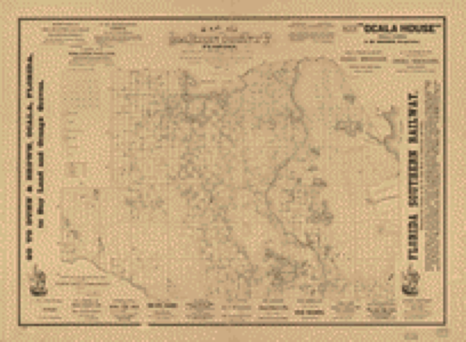
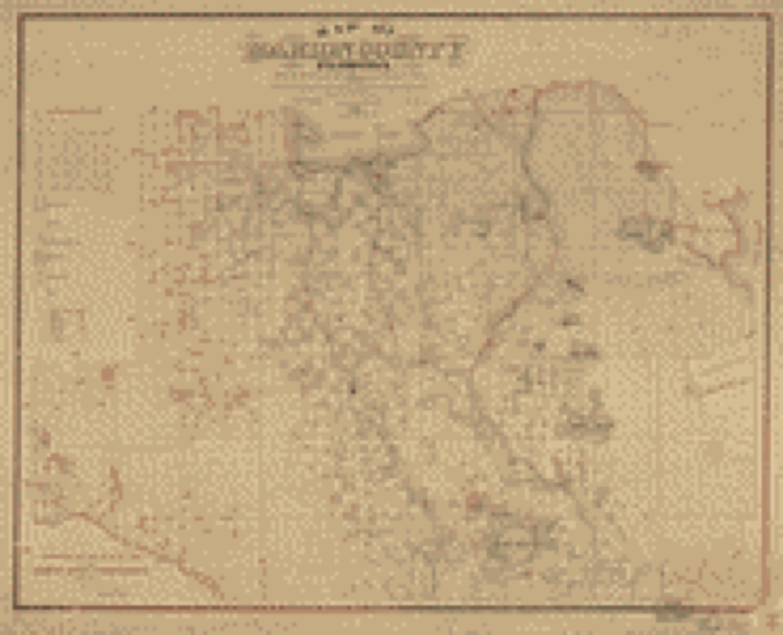
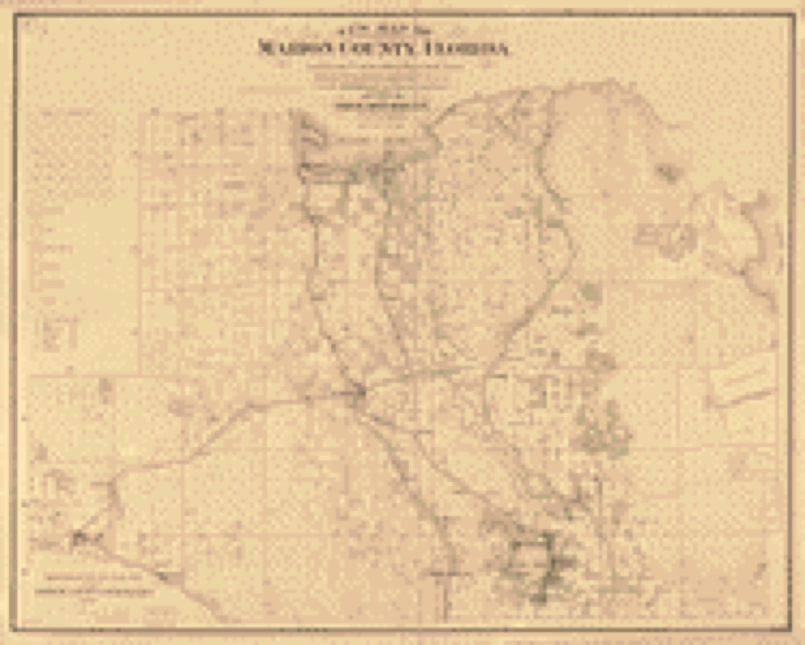
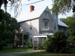
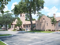
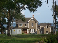
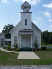
Drawn when these were printed as
single large sheets: the town seen from the air, and the county
divided into its farms with every owner named. Each opens the
original at the Library of Congress.
Land ownership map (1883) - Map of Marion County, Florida : from U.S. surveys and other official and original sources showing all lands belonging to the U.S. State Railroad and Disston to Oct. 15th. Library of Congress.Land ownership map (1885) - Map of Marion County, Florida : from U.S. surveys and other official and original sources showing all lands belonging to the U.S. State Railroad and Disston to Oct. 15th. Library of Congress.Land ownership map (1887) - New map of Marion County, Florida. Library of Congress.
Photographs from libraries nationwide
24 of 26 shown
Selected from the Digital Public Library
of America's 26 image records catalogued for this county. Every
one shown here carries a public-domain status or a licence that permits
reuse on a site that carries advertising; non-commercial, share-alike
and restricted images are excluded. The selection is spread across the
county's towns (at most eight per town), so no single institution's
bulk upload crowds out the rest. Each opens the holding library's
record, and
the complete set at the
Digital Public Library of America is one click away.
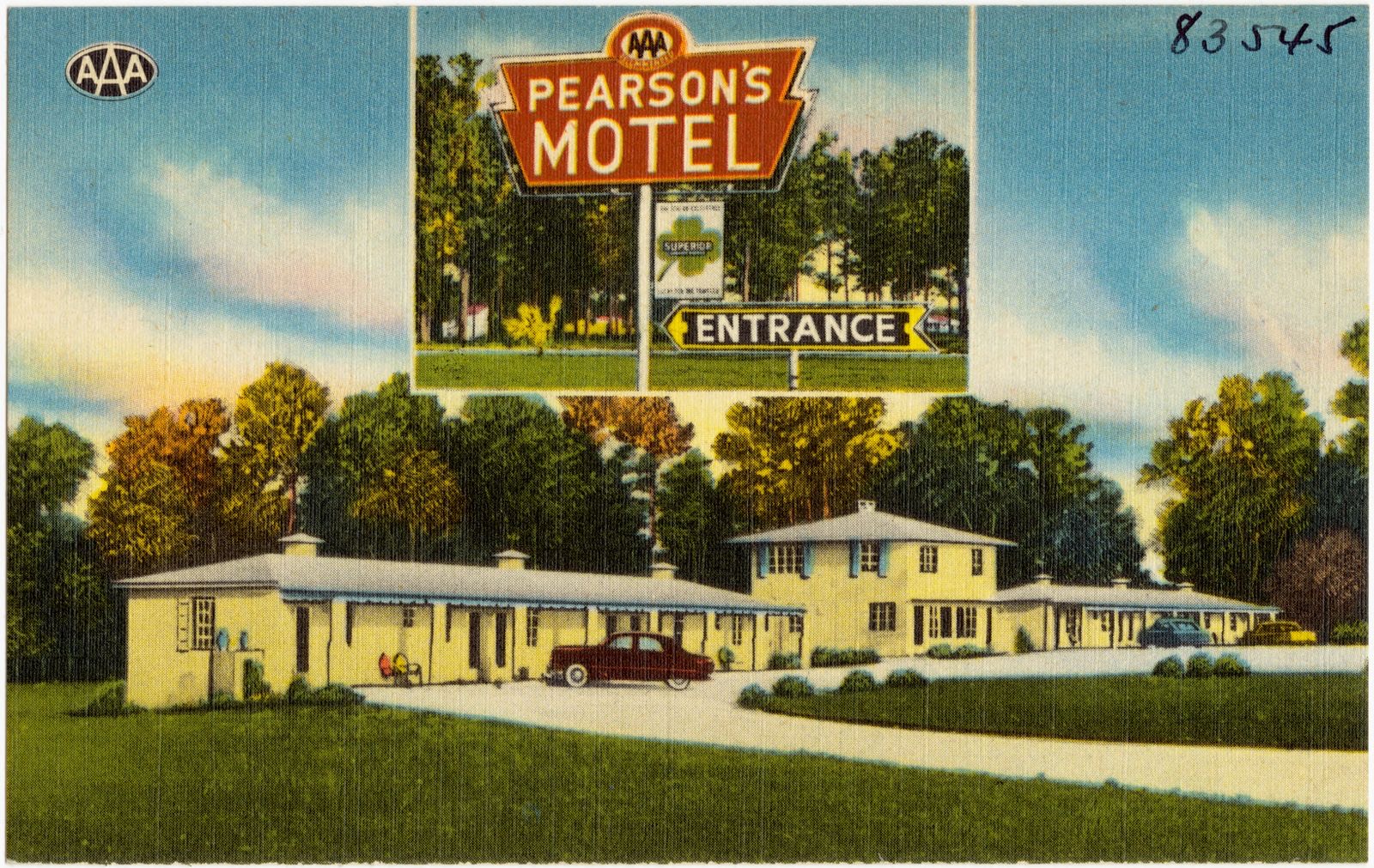
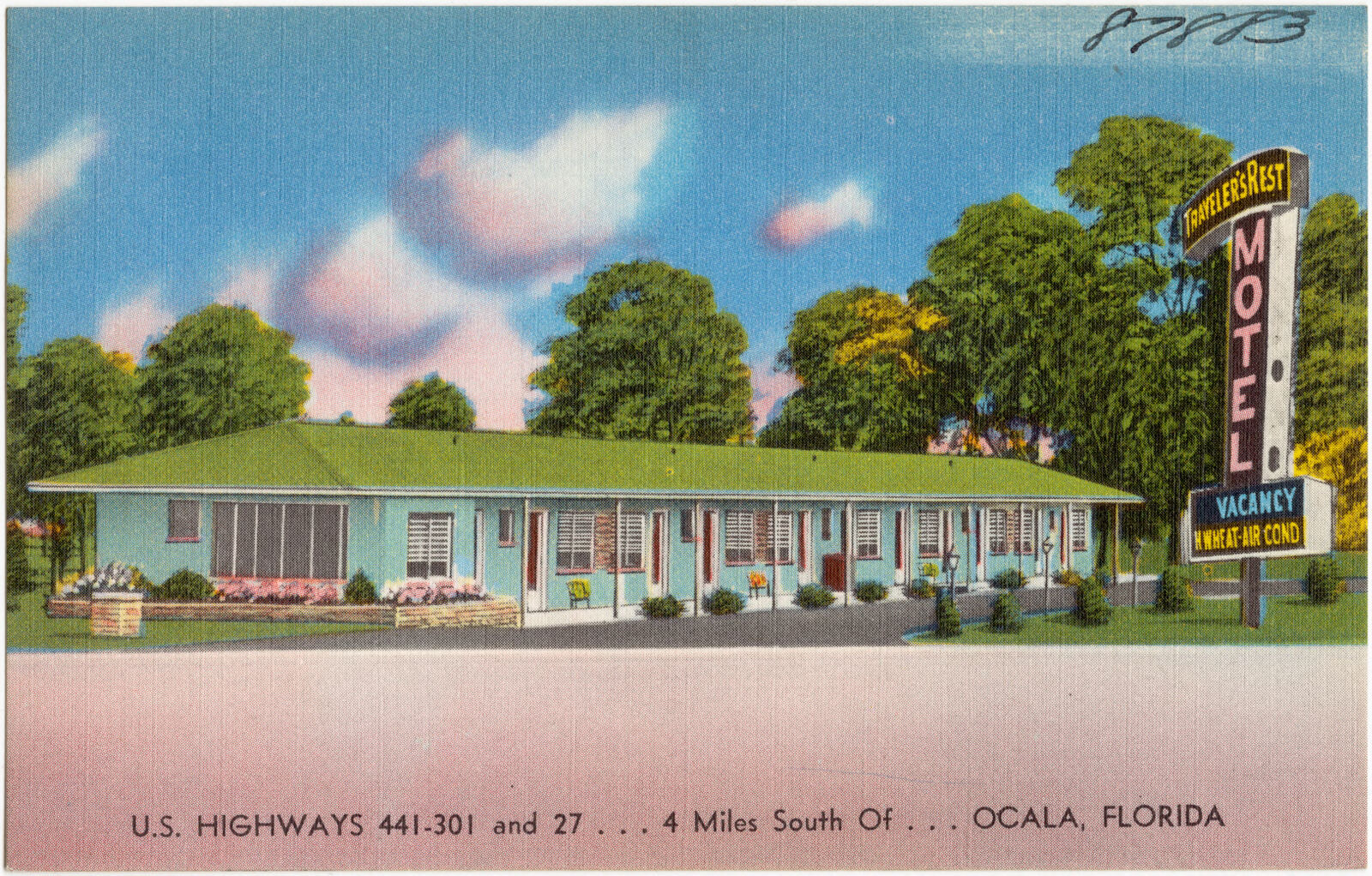
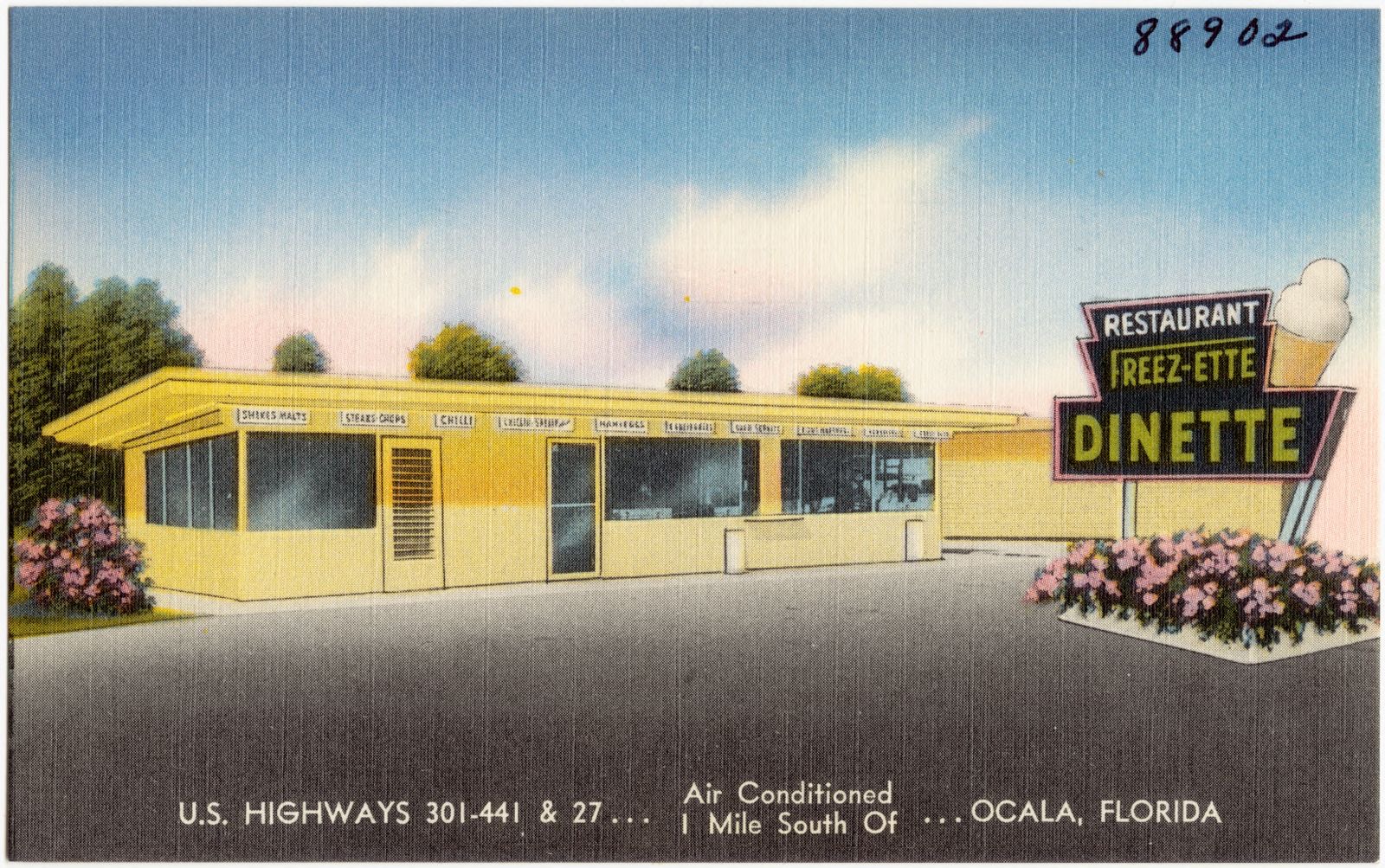
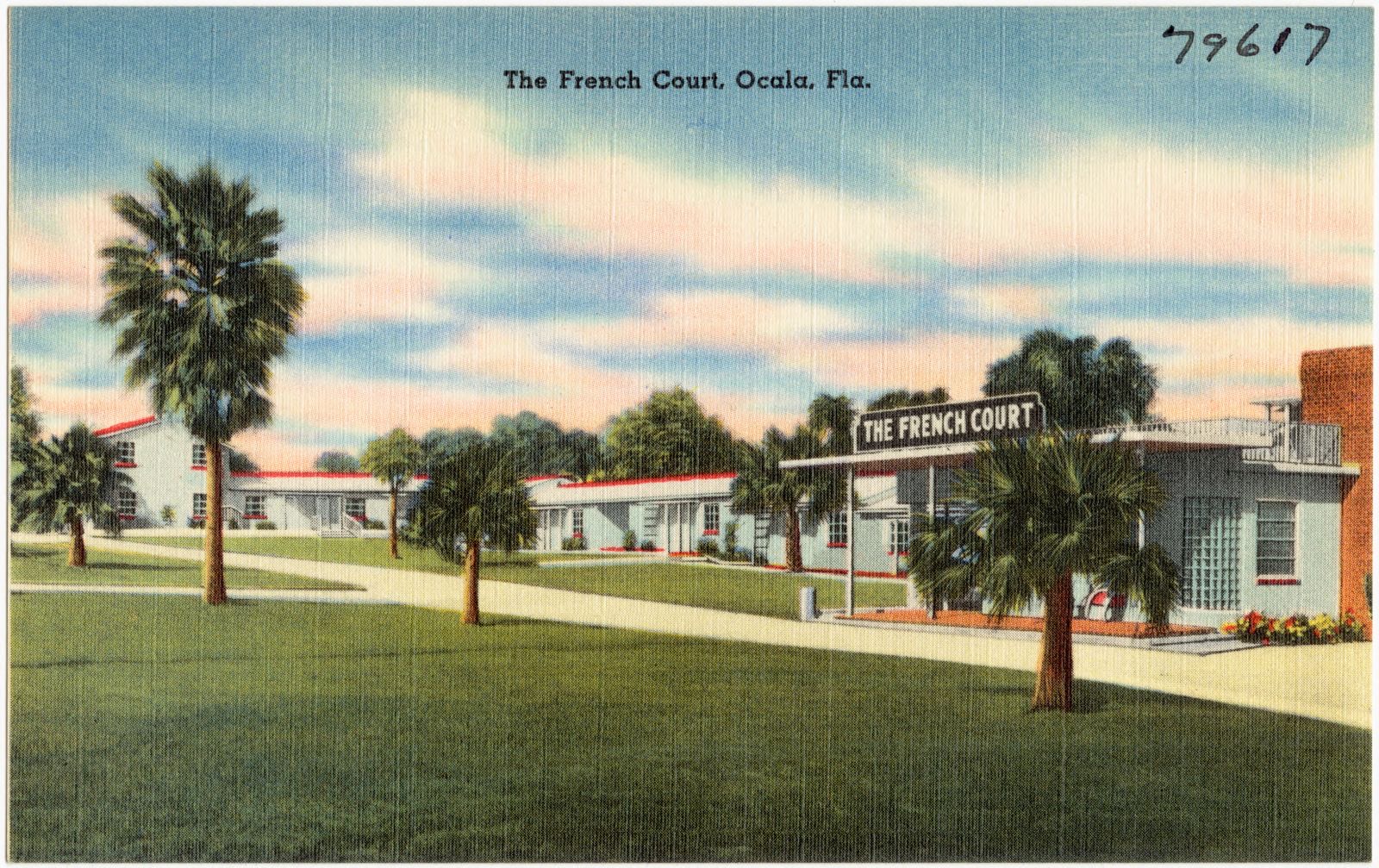
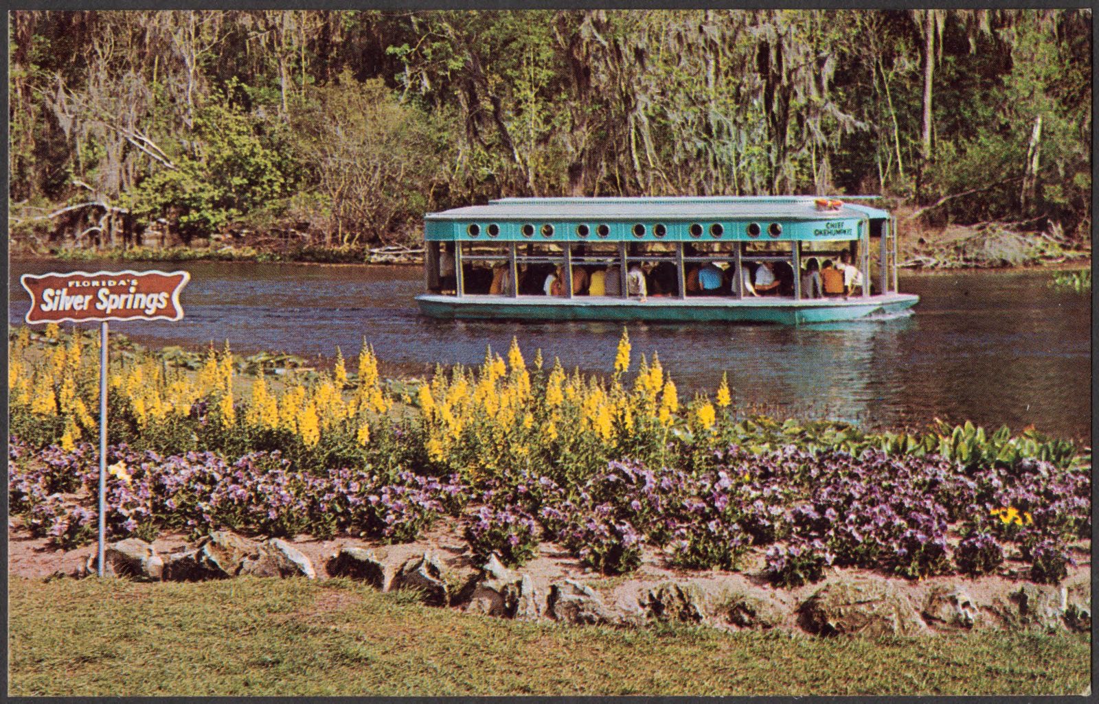
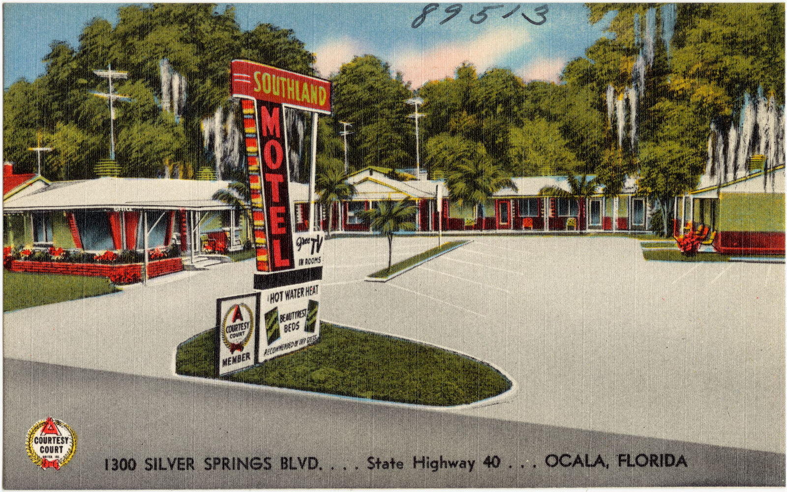
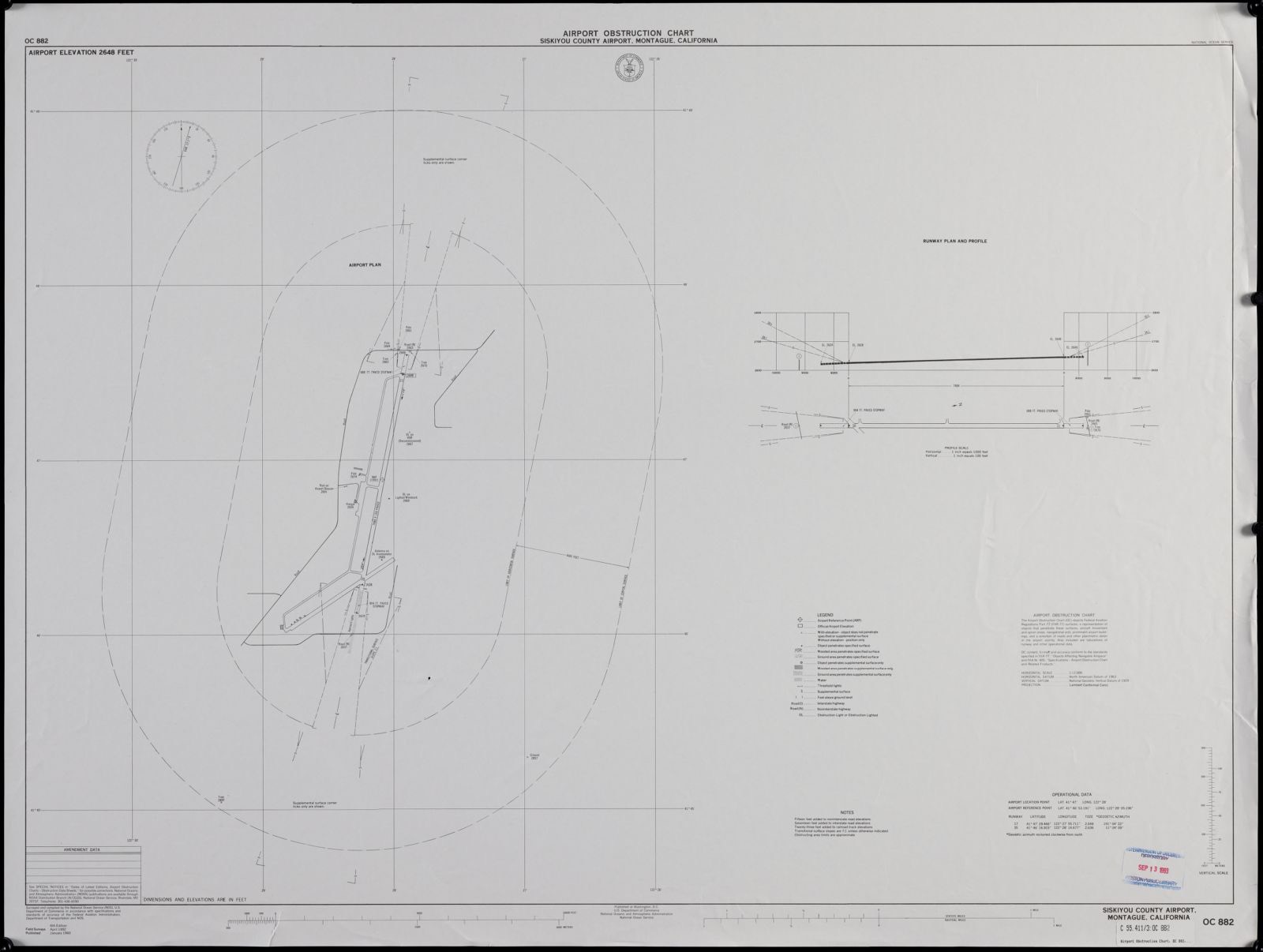
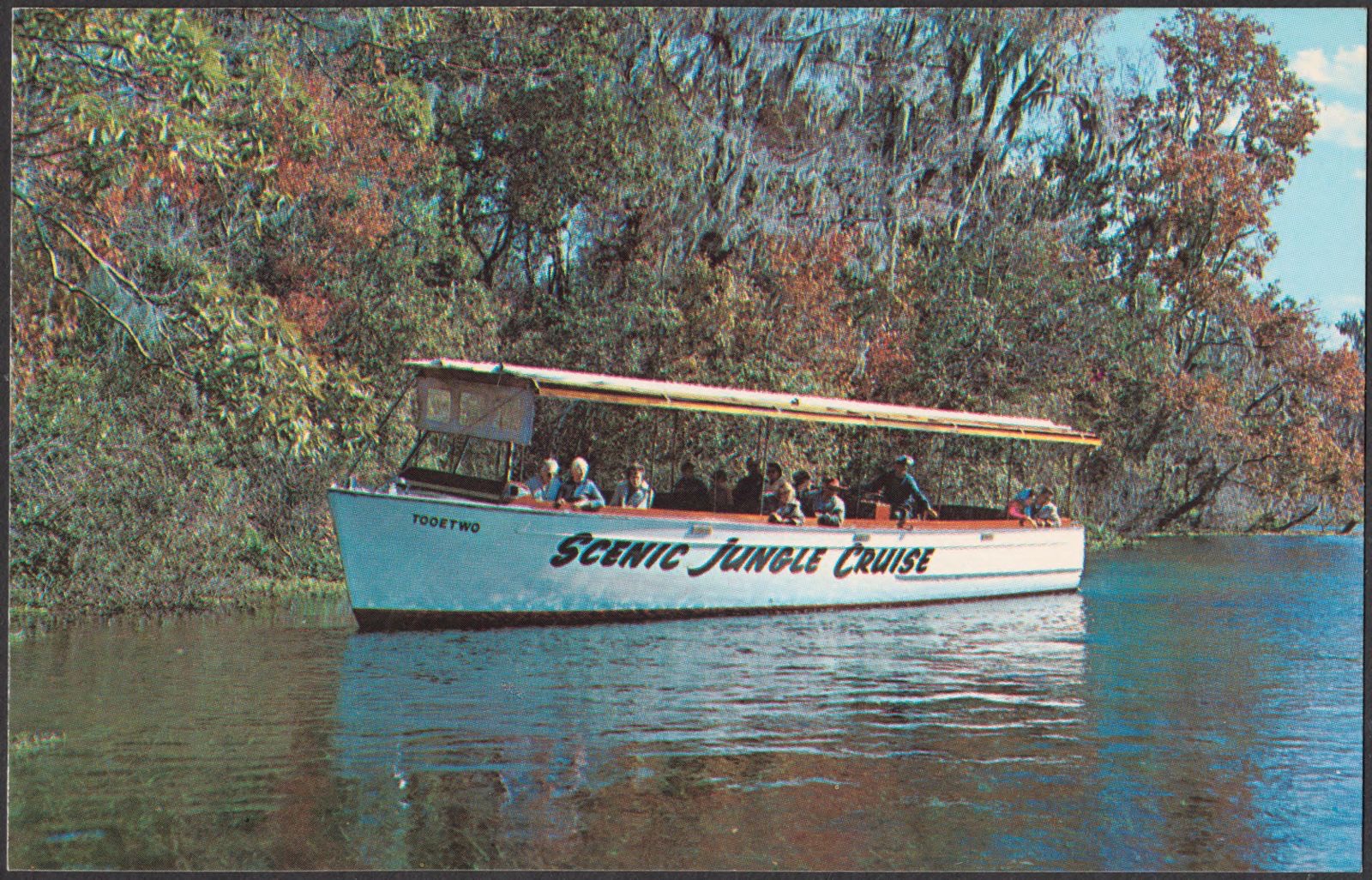
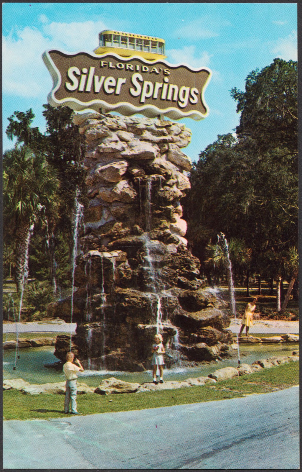
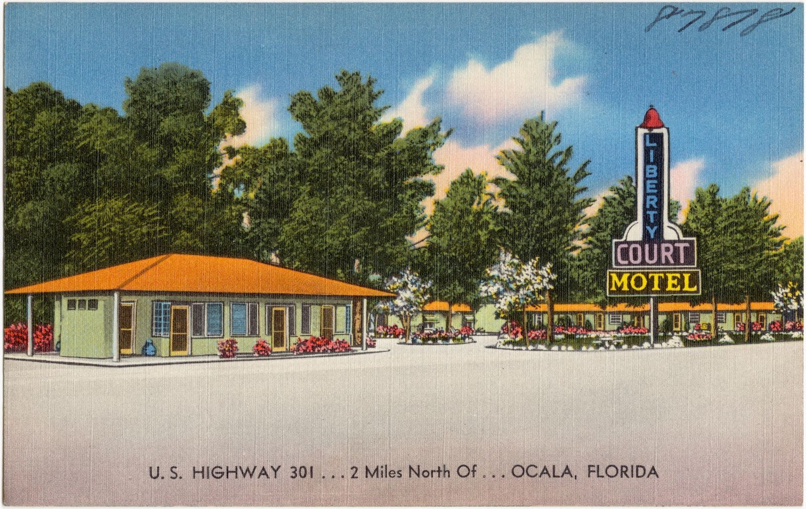
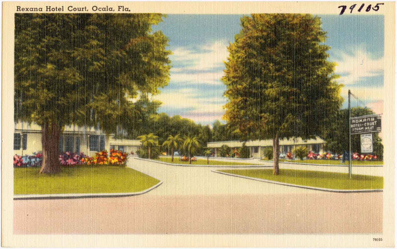
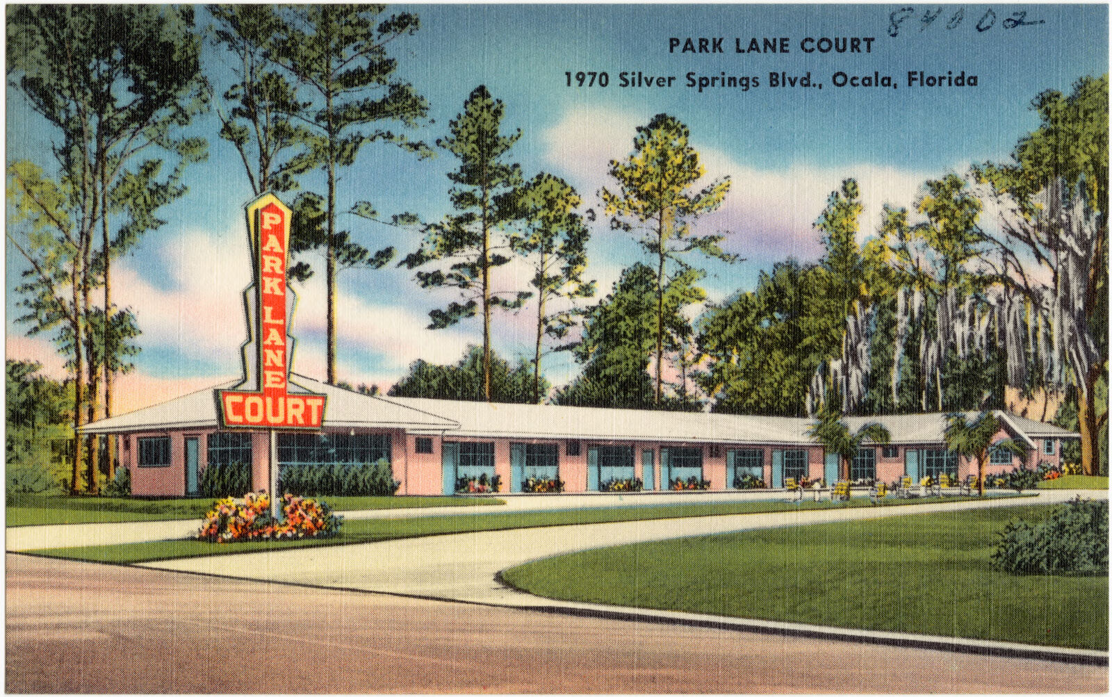
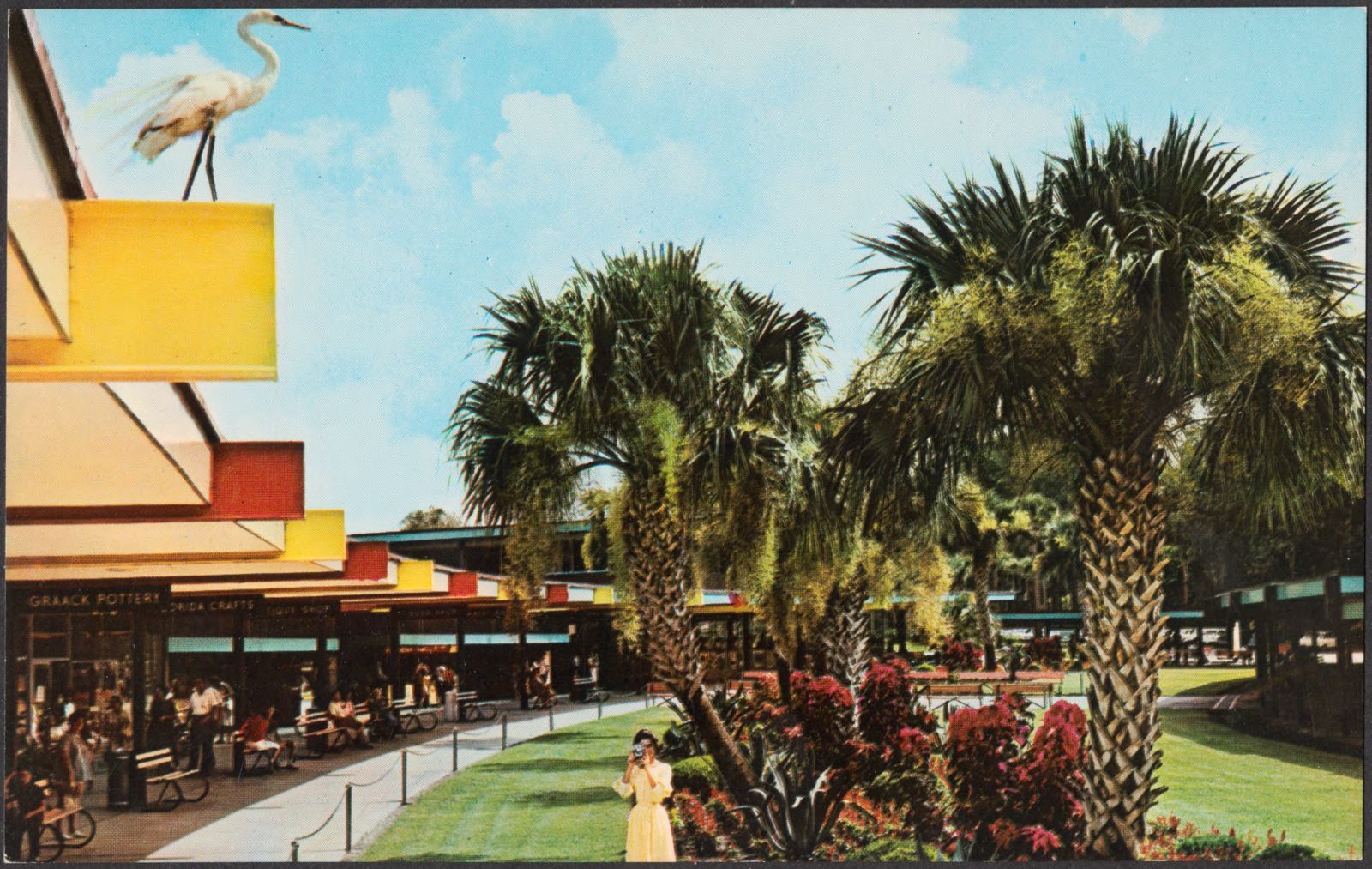
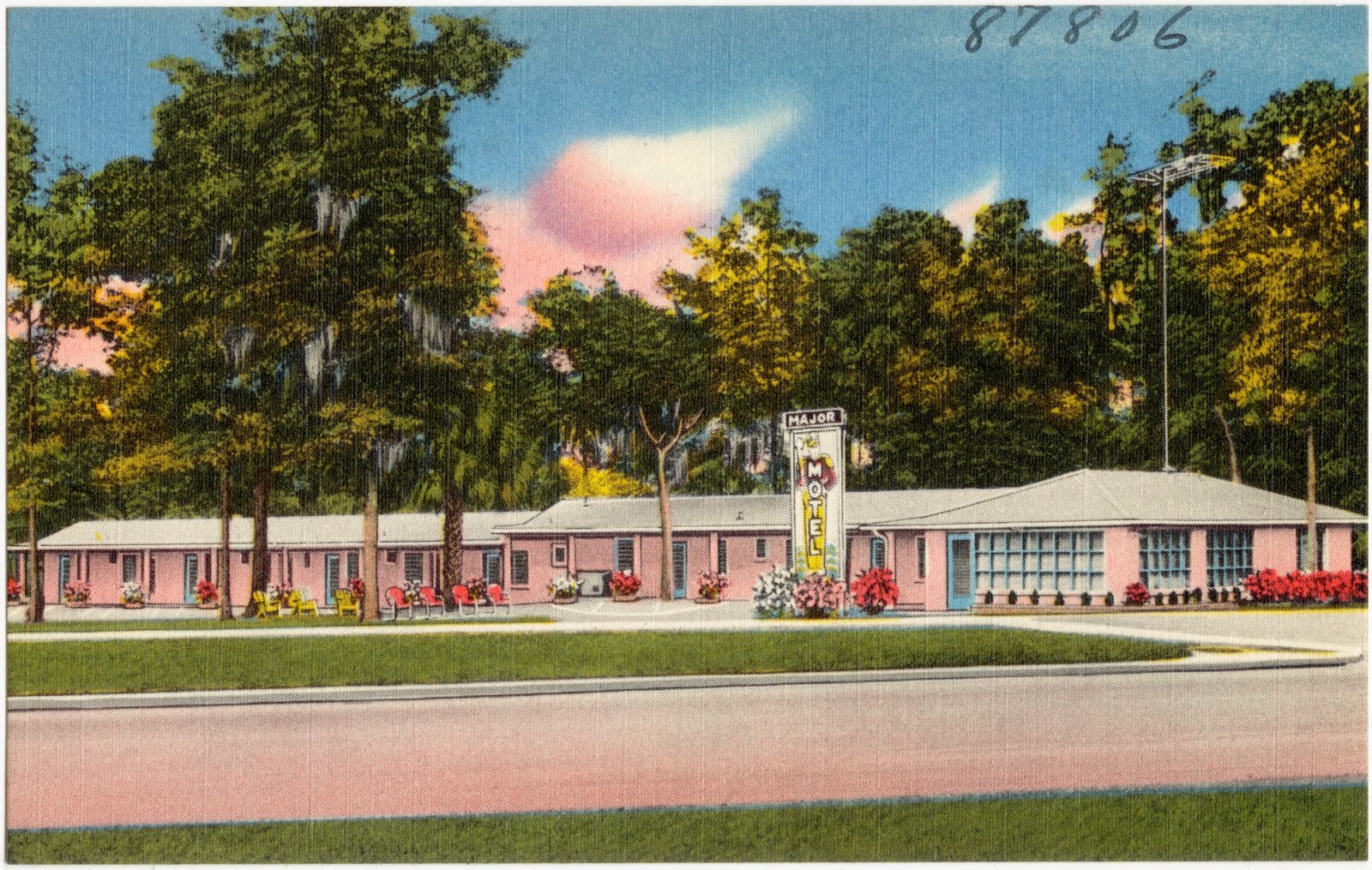
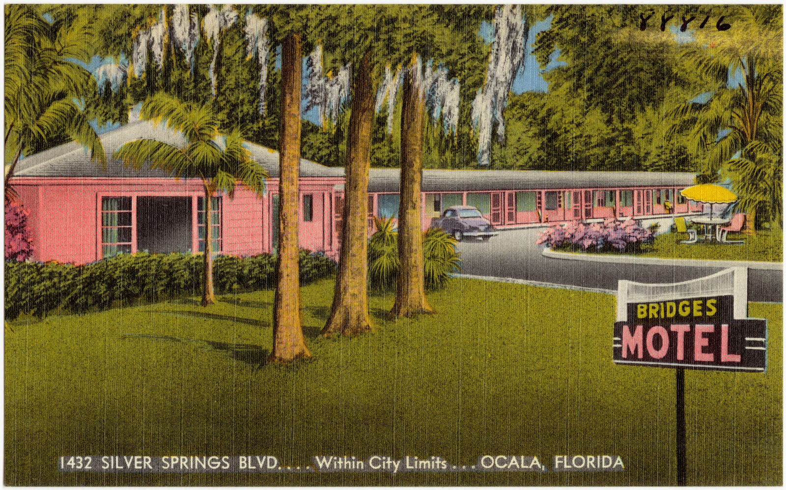
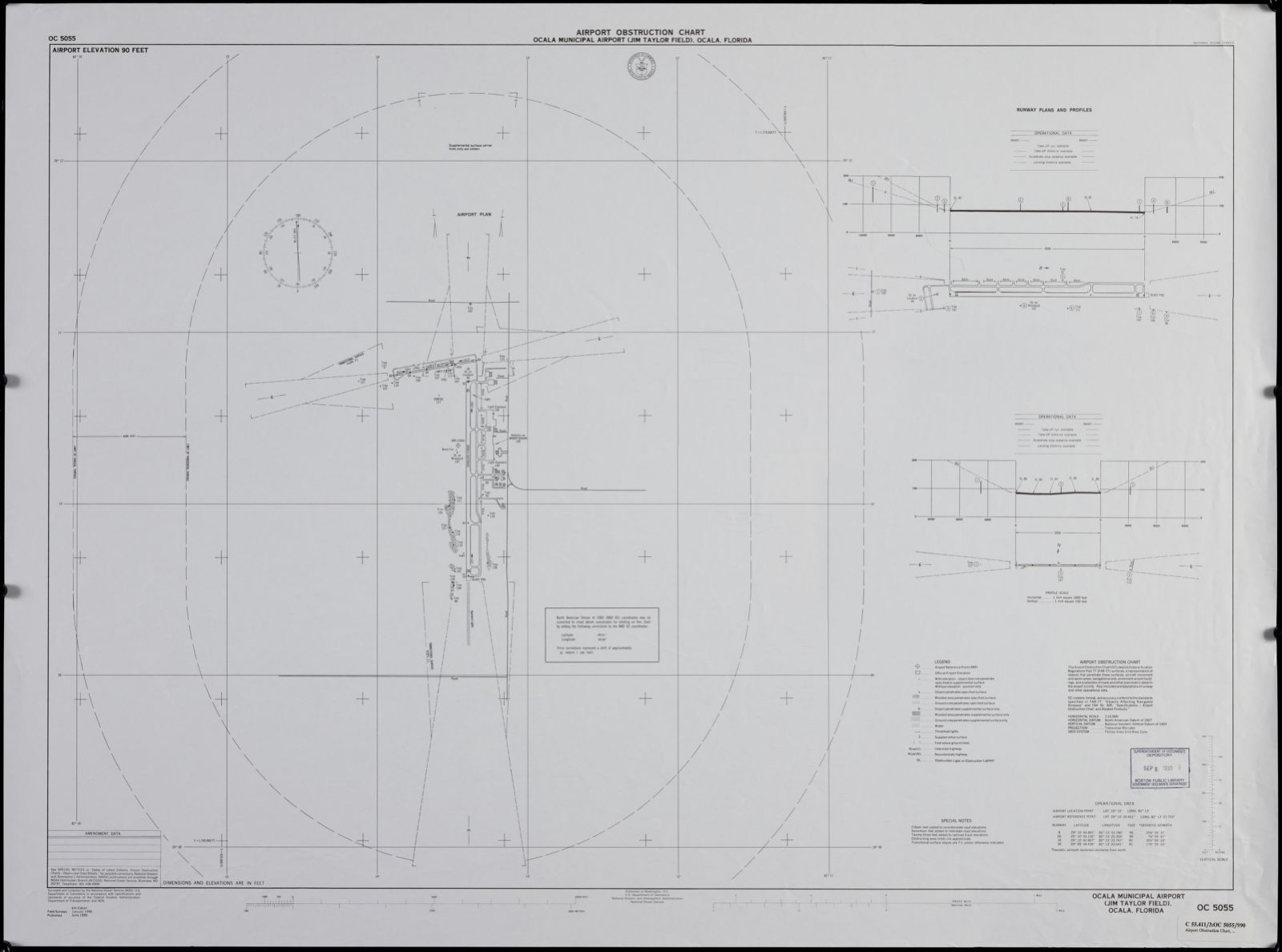
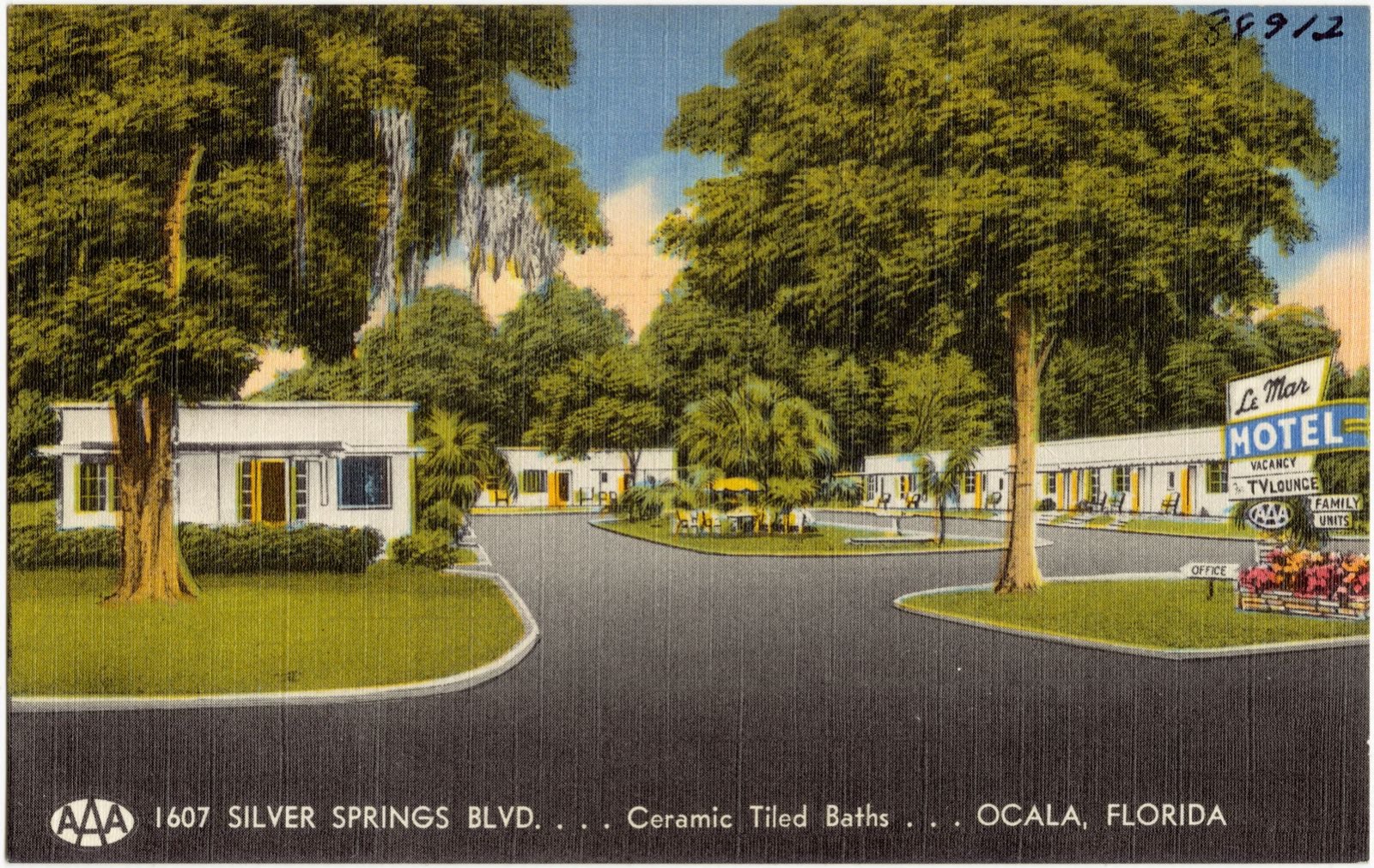
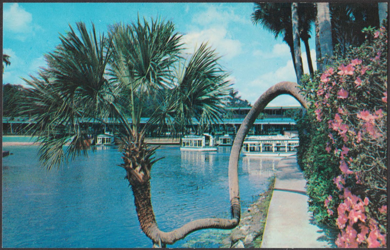
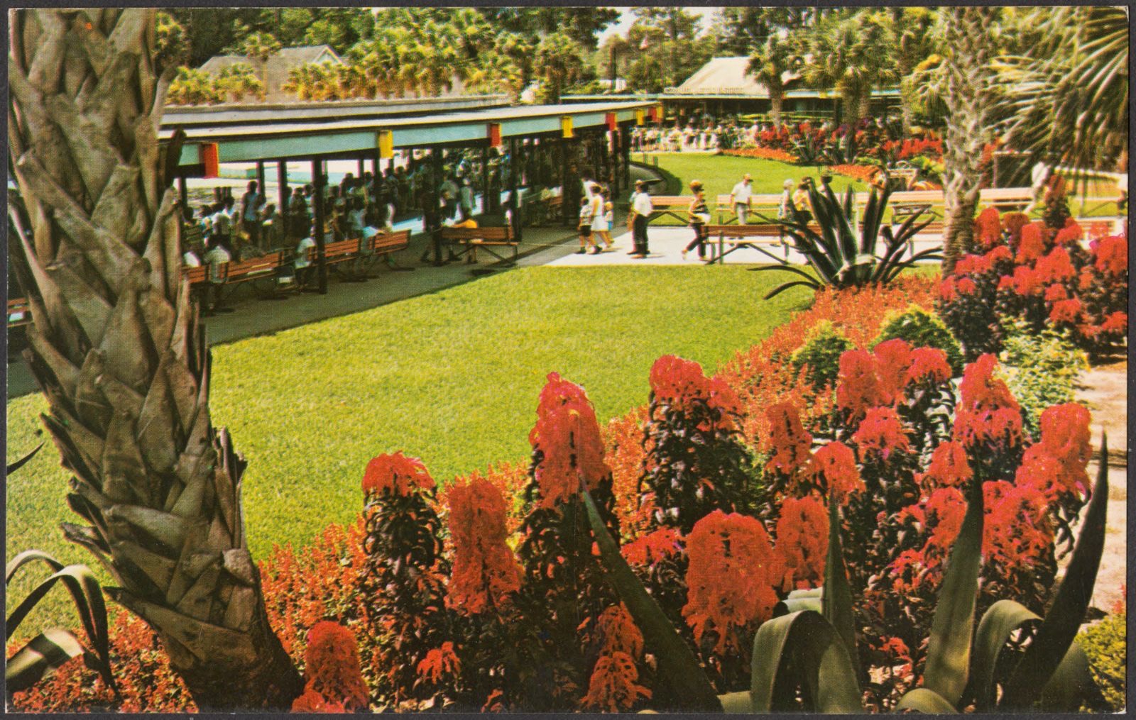
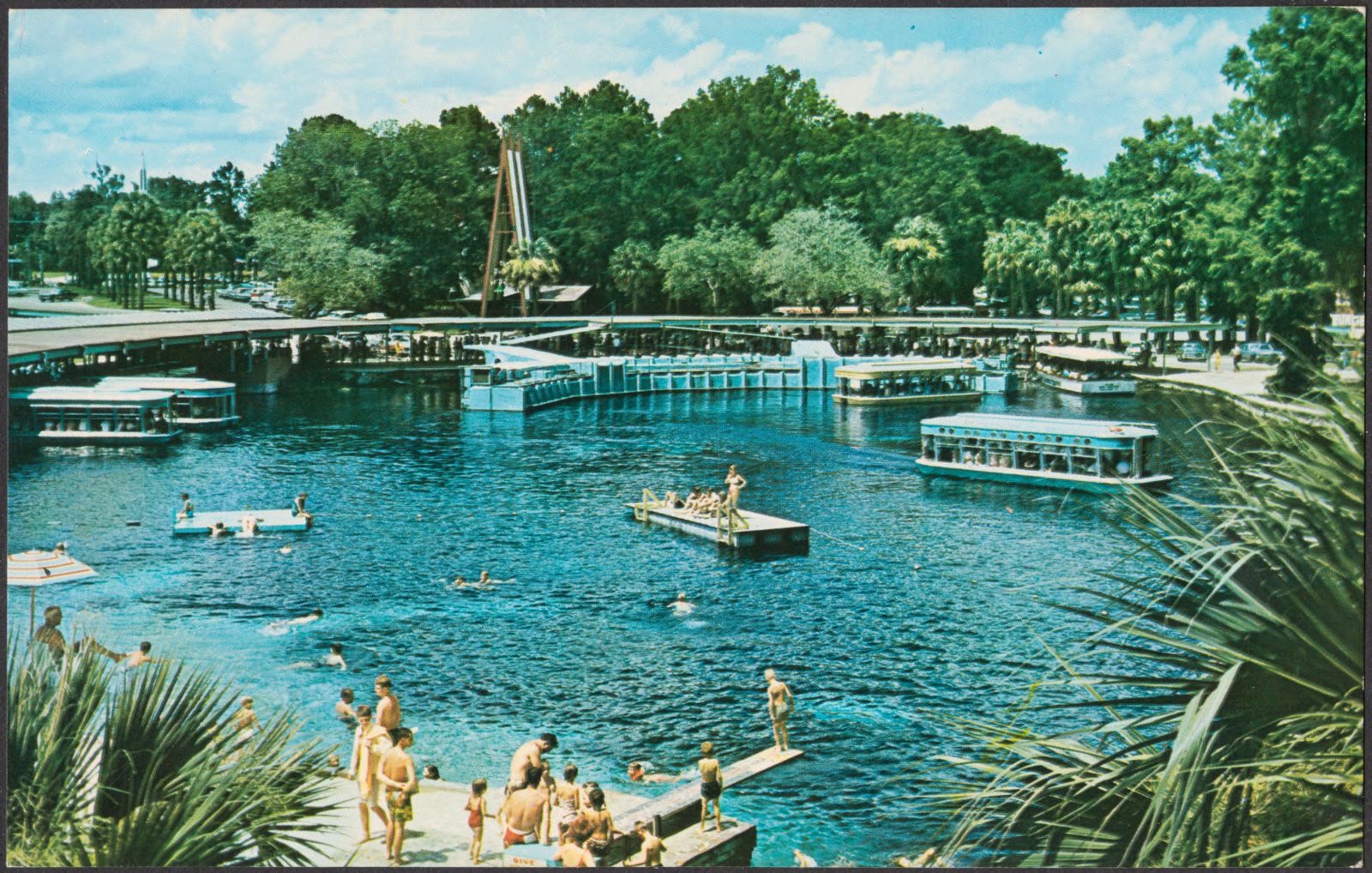
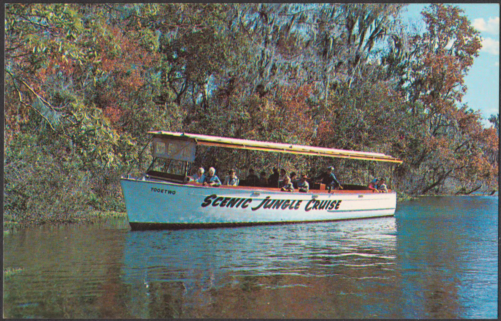
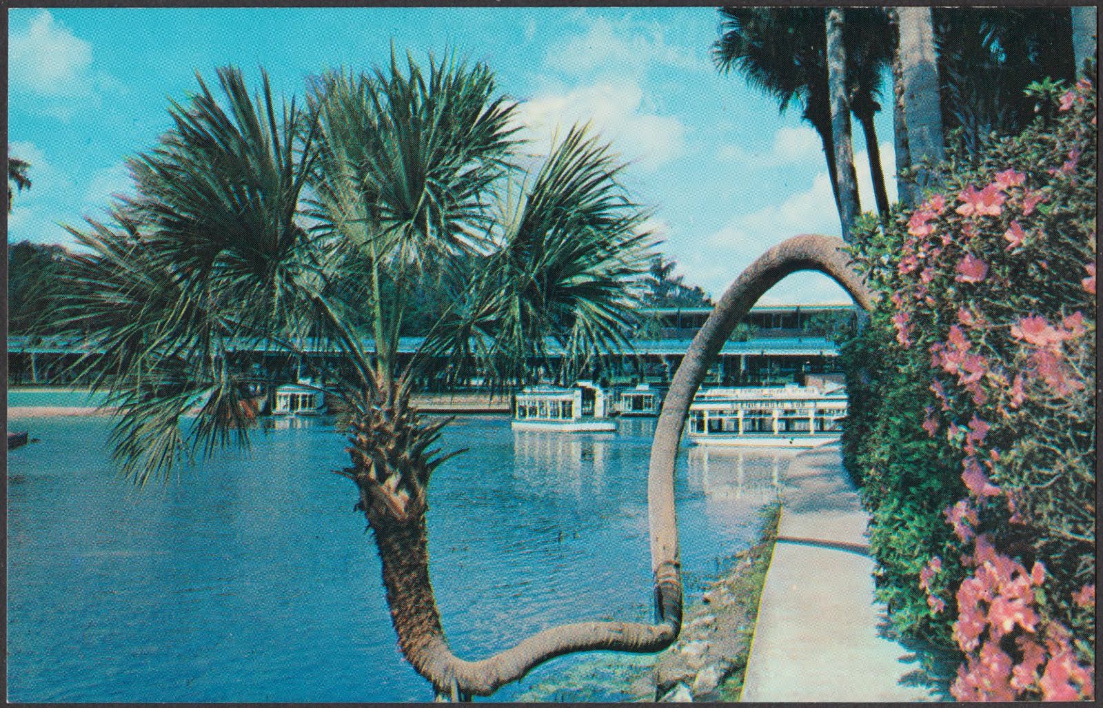
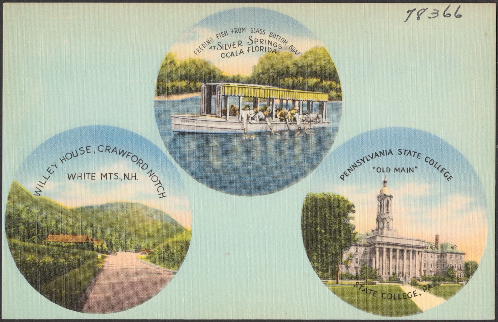
Pearson's Motel. Boston Public Library, via the Digital Public Library of America.Traveler's Rest Motel, U.S. highways 441-301 and 27, 4 miles south of Ocala, Florida. Boston Public Library, via the Digital Public Library of America.Restaurant Freeze-ette Dinette, air-conditioned, U.S. highways 301-441 and 27, 1 mile south of Ocala, Florida. Boston Public Library, via the Digital Public Library of America.The French Court, Ocala, Florida. Boston Public Library, via the Digital Public Library of America.Visitors to famous Silver Springs get an intimate view of the underwater wonderland through the glass bottom boats. Boston Public Library, via the Digital Public Library of America.Southland Motel, 1300 Silver Springs Blvd., State Highway 40, Ocala, Florida. Boston Public Library, via the Digital Public Library of America.Airport obstruction chart, OC 882, Siskiyou County Airport, Montague, California. United States. National Ocean Service, Boston Public Library, via the Digital Public Library of America.Silver Springs. Boston Public Library, via the Digital Public Library of America.Florida's Silver Springs. Boston Public Library, via the Digital Public Library of America.Liberty Court Motel, U.S. Highway 301, 2 miles north of Ocala, Florida. Boston Public Library, via the Digital Public Library of America.Rexana Hotel Court, Ocala, Florida. Boston Public Library, via the Digital Public Library of America.Park Lane Court, 1970 Silver Springs Blvd., Ocala, Florida. Boston Public Library, via the Digital Public Library of America.Diver underwater during the shooting of a training film on deep sea diving at Silver Springs, Fla.. United States. Navy, American Legion Museum, via the Digital Public Library of America.A covered promenade bordered by a colorful garden area is an architectural feature of the handsome administration building at Florida's famous Silver Springs. Boston Public Library, via the Digital Public Library of America.Major Motel. Boston Public Library, via the Digital Public Library of America.Bridges Motel, 1432 Silver Springs Blvd., within city limits Ocala, Florida. Boston Public Library, via the Digital Public Library of America.Airport obstruction chart, OC 5055, Ocala Municipal Airport (Jimmy Taylor Field), Ocala, Florida. United States. National Ocean Service, Boston Public Library, via the Digital Public Library of America.Le Mar Motel, 1607 Silver Springs Blvd, ceramic tiled baths, Ocala, Florida. Boston Public Library, via the Digital Public Library of America.Florida's Silver Springs. Boston Public Library, via the Digital Public Library of America.Beautiful tropical planting is featured in the garden area in front of the main administration building at Florida's Silver Springs. Boston Public Library, via the Digital Public Library of America.This is the main spring at Florida's world-famous Silver Springs, showing the administration buildings, boat docks and the aquarium. Boston Public Library, via the Digital Public Library of America.Silver Springs. Boston Public Library, via the Digital Public Library of America.Florida's Silver Springs. Boston Public Library, via the Digital Public Library of America.Feeding fish from glass bottom boat at Silver Springs, Ocala, Florida. WIlley House, Crawford Notch, White Mts., N.H. Pennsylvania State College "Old Main", State College, Pa.. Boston Public Library, via the Digital Public Library of America.
The county from the air
36 shown
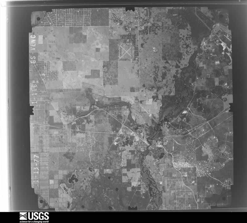
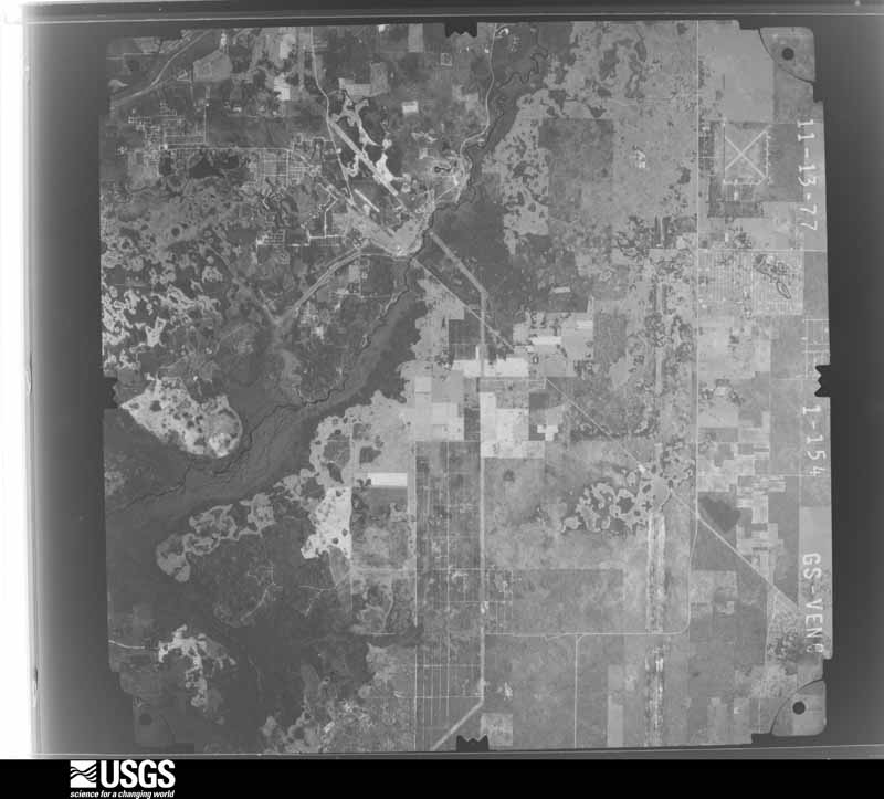
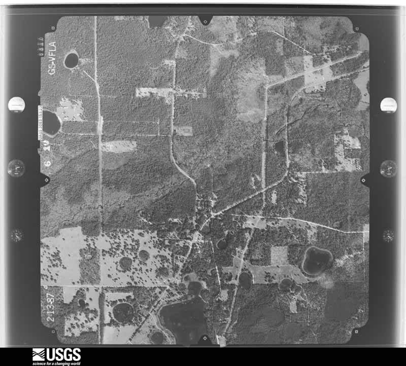
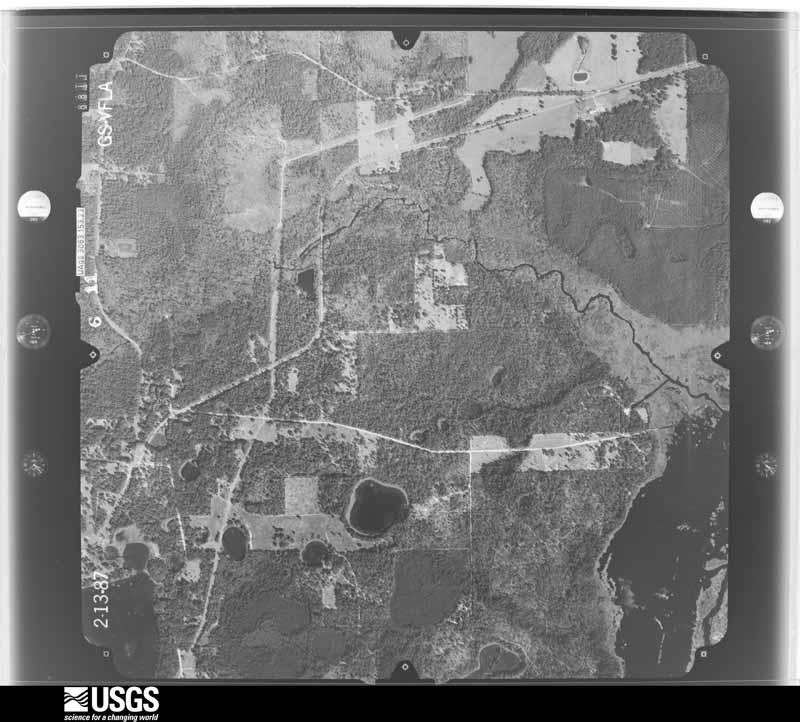
Flown by the U.S. Geological Survey
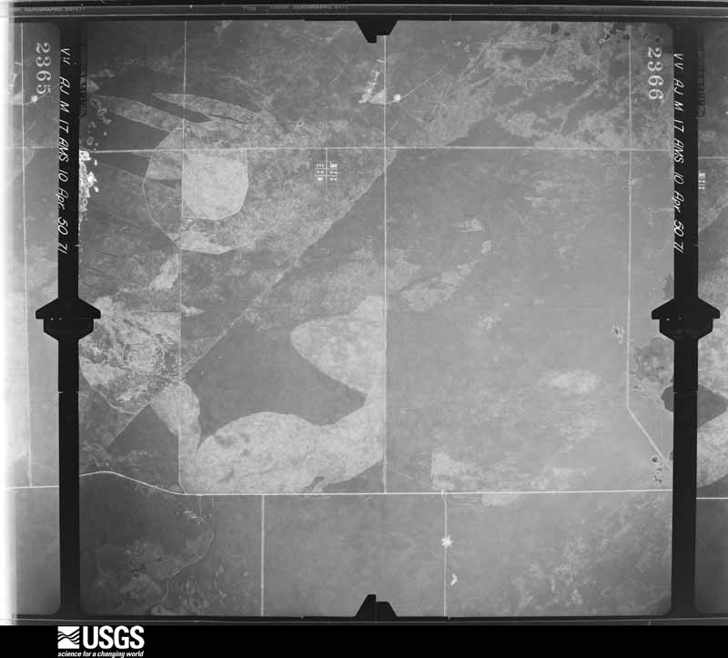
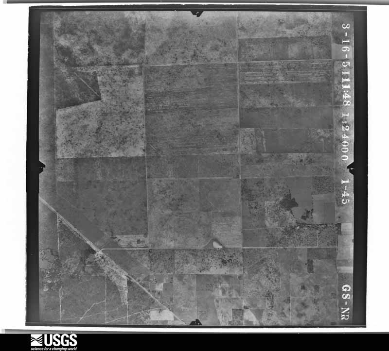
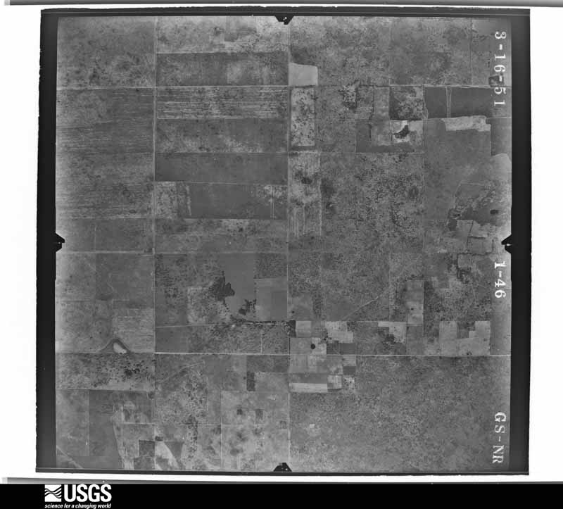
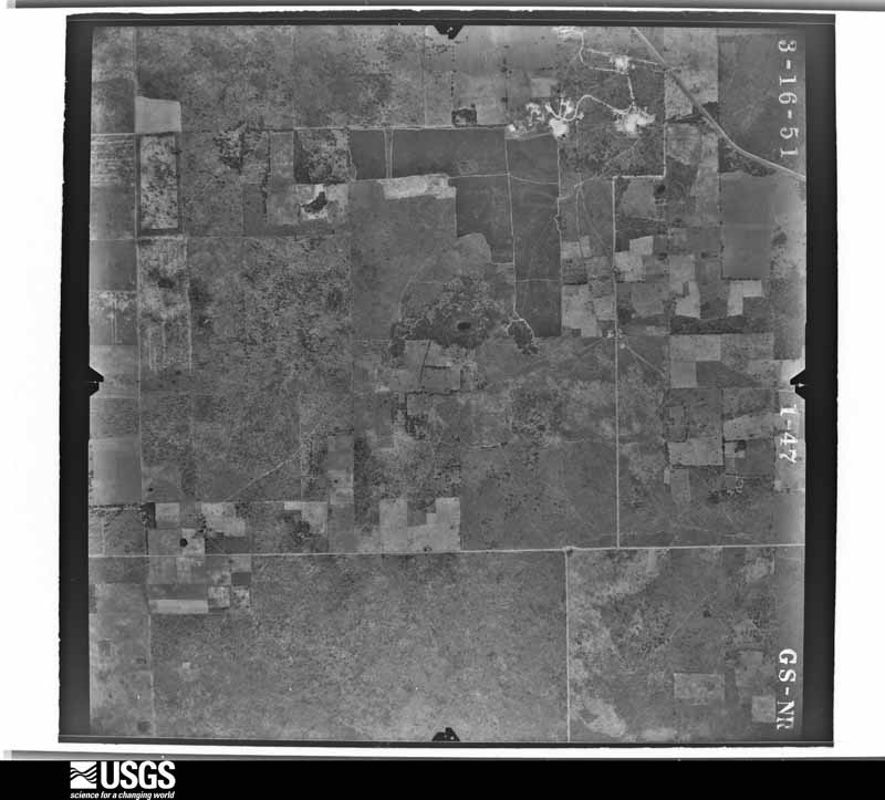
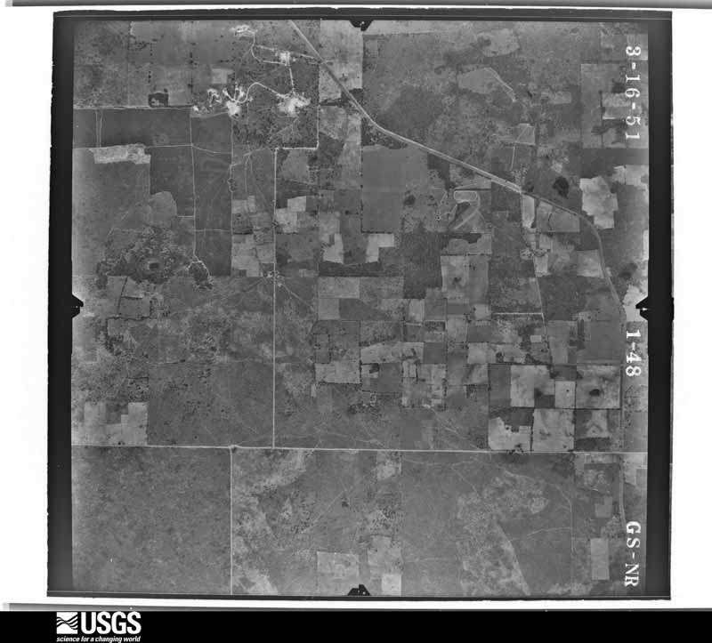
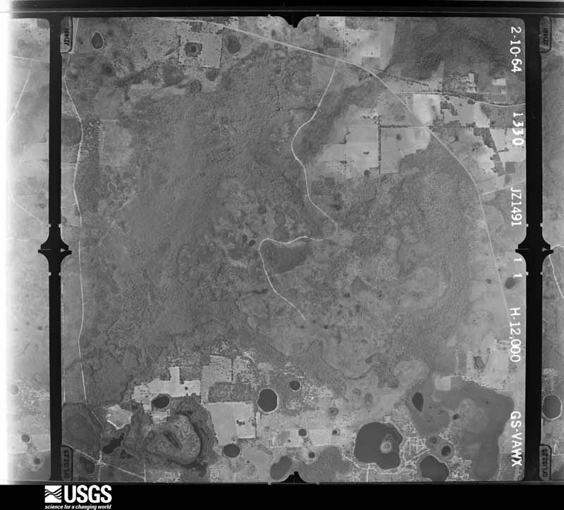
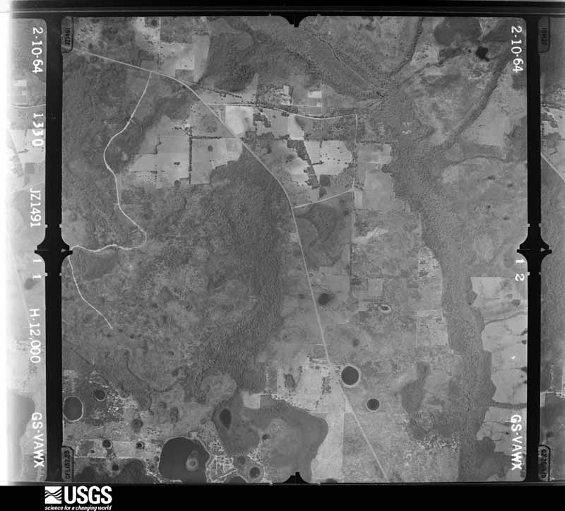
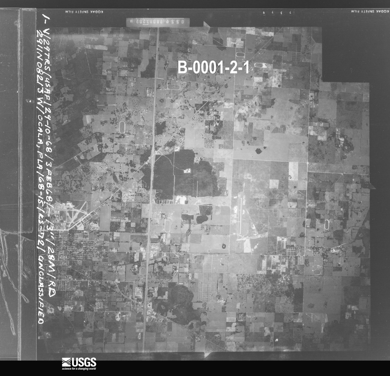
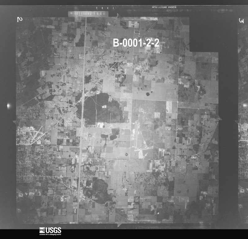
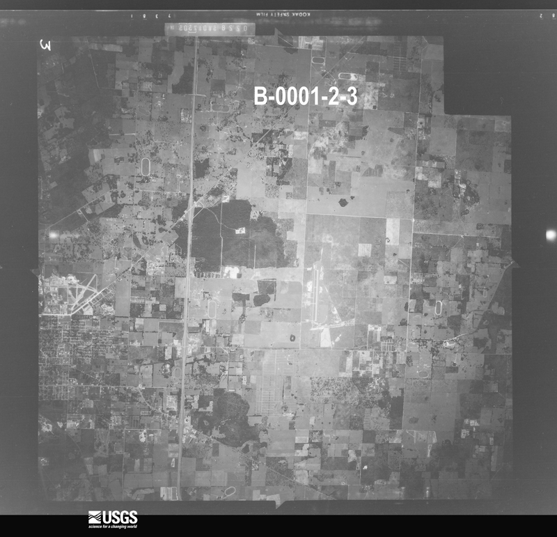
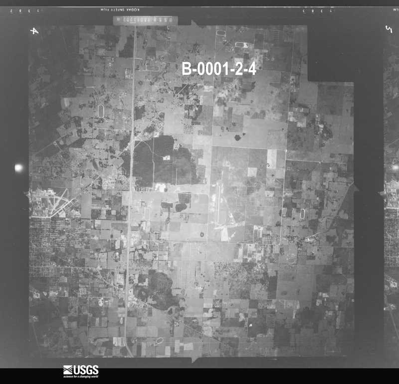
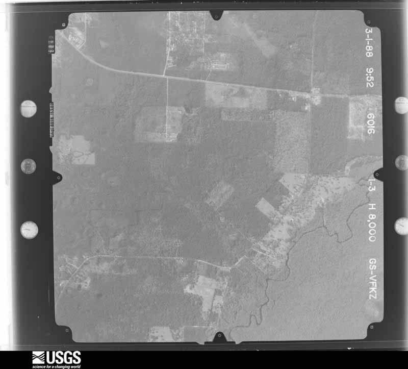
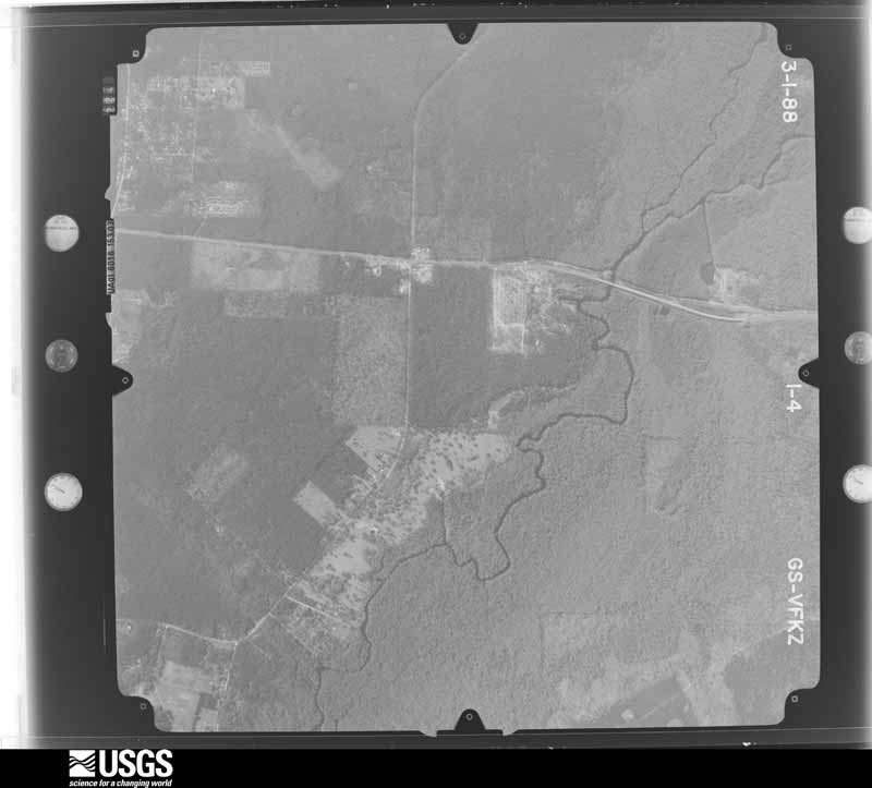
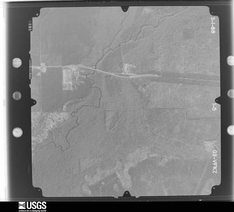
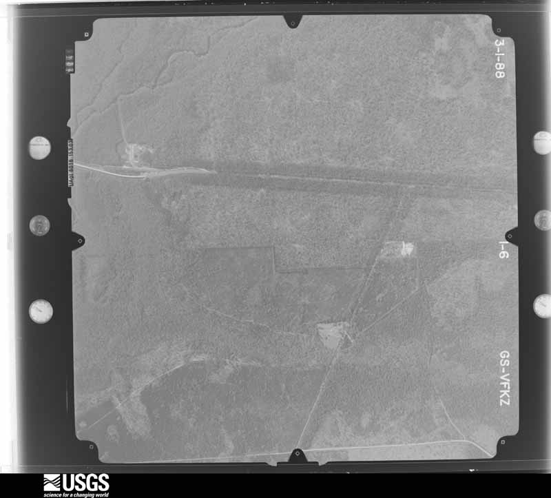
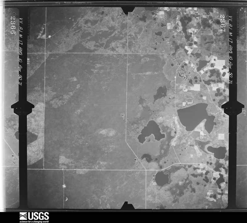
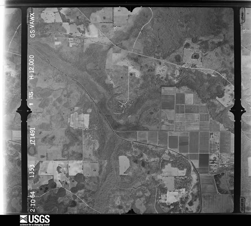
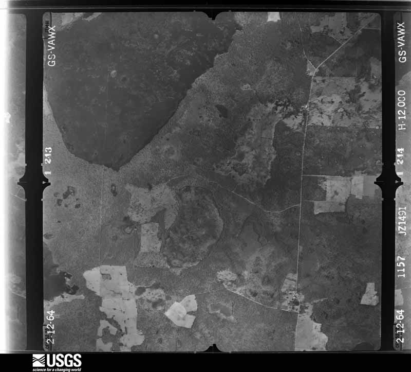
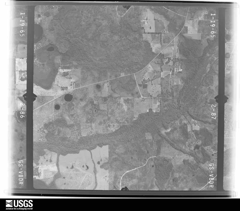
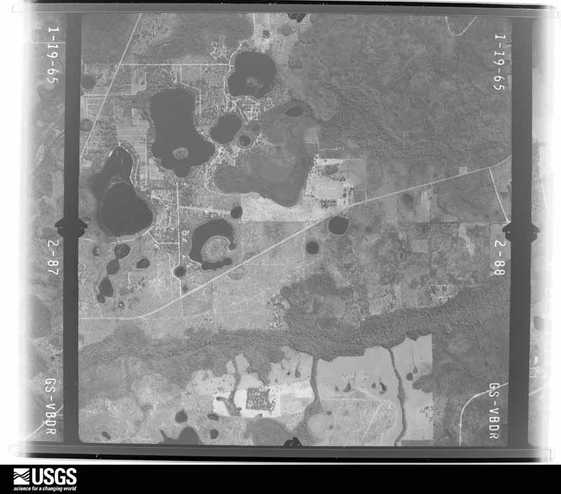
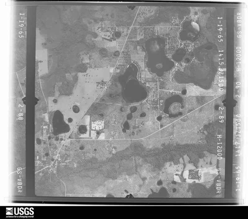
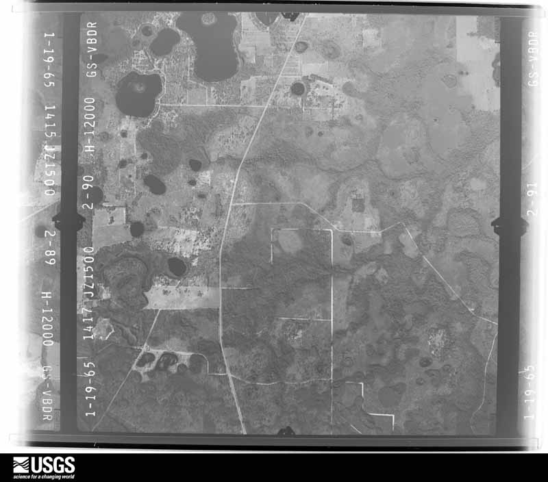
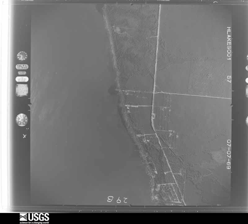
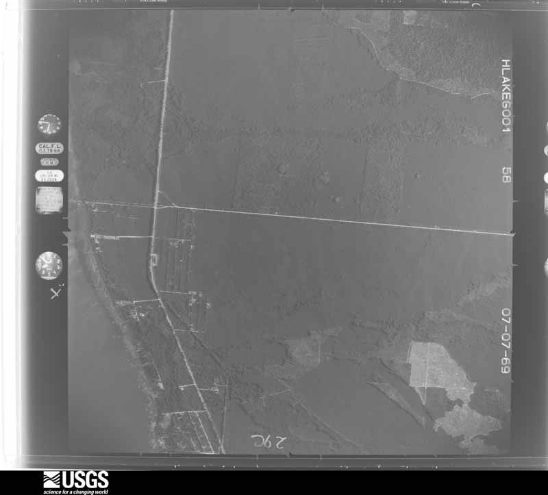
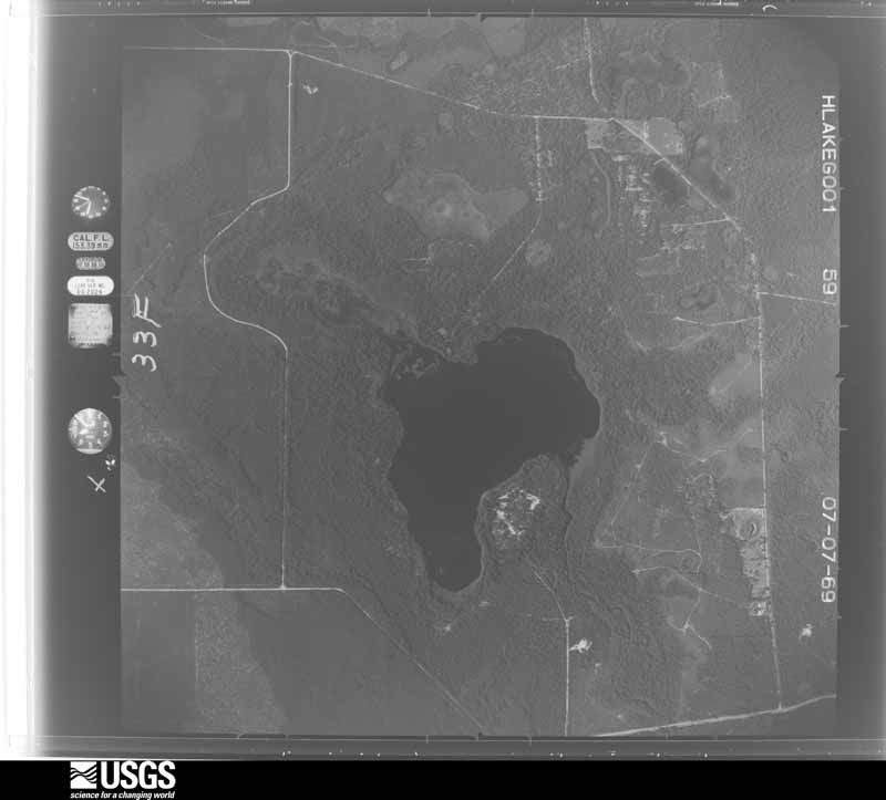
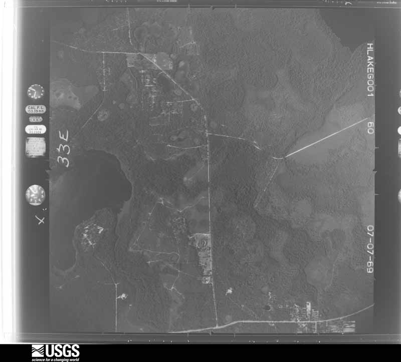
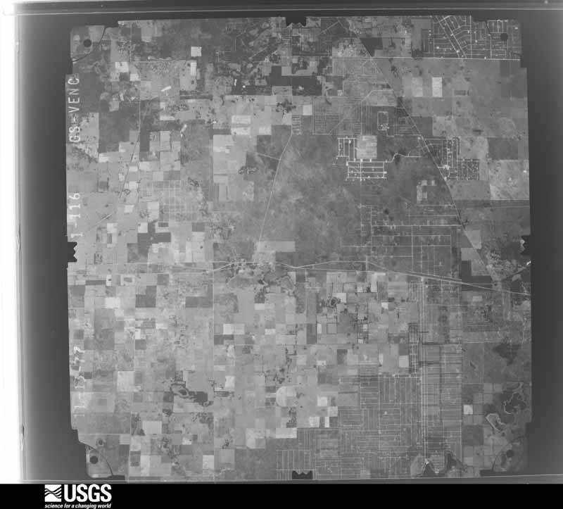
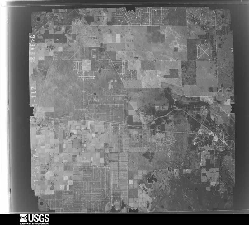
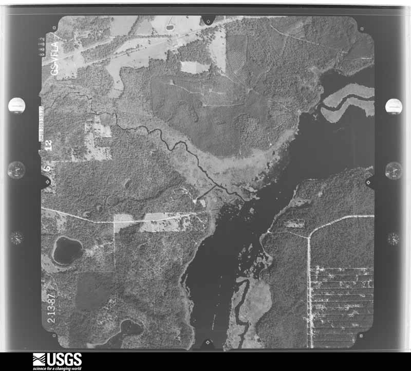
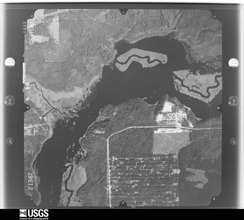
between 1937 and 1989, the Aerial Photo Single Frames collection is
the definitive mid-century view of the land: fields, roads and rivers
as the camera saw them. The Survey holds 2,106 frames inside the
rectangle that bounds this county; the 36 frames below were taken over
the county itself, chosen across the decades of flights (at most four
a year from that rectangle), so one flight cannot crowd out the rest.
The full set is free to browse and download at
EarthExplorer under the dataset Aerial Photo Single
Frames.
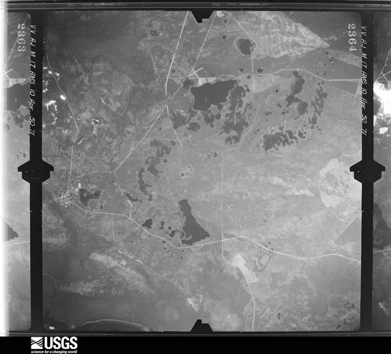
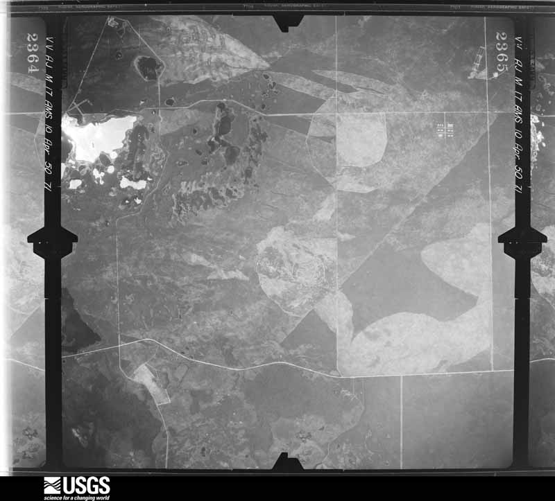
1950-04-10, scale 1:60000. U.S. Geological Survey aerial photograph.1950-04-10, scale 1:60000. U.S. Geological Survey aerial photograph.1950-04-10, scale 1:60000. U.S. Geological Survey aerial photograph.1951-03-16, scale 1:24000. U.S. Geological Survey aerial photograph.1951-03-16, scale 1:24000. U.S. Geological Survey aerial photograph.1951-03-16, scale 1:24000. U.S. Geological Survey aerial photograph.1951-03-16, scale 1:24000. U.S. Geological Survey aerial photograph.1964-02-10, scale 1:24000. U.S. Geological Survey aerial photograph.1964-02-10, scale 1:24000. U.S. Geological Survey aerial photograph.1968-02-09, scale 1:136948. U.S. Geological Survey aerial photograph.1968-02-09, scale 1:136948. U.S. Geological Survey aerial photograph.1968-02-09, scale 1:136948. U.S. Geological Survey aerial photograph.1968-02-09, scale 1:136948. U.S. Geological Survey aerial photograph.1988-03-01, scale 1:16000. U.S. Geological Survey aerial photograph.1988-03-01, scale 1:16000. U.S. Geological Survey aerial photograph.1988-03-01, scale 1:16000. U.S. Geological Survey aerial photograph.1988-03-01, scale 1:16000. U.S. Geological Survey aerial photograph.1950-04-10, scale 1:60000. U.S. Geological Survey aerial photograph.1964-02-10, scale 1:24000. U.S. Geological Survey aerial photograph.1964-02-12, scale 1:24000. U.S. Geological Survey aerial photograph.1965-01-19, scale 1:24000. U.S. Geological Survey aerial photograph.1965-01-19, scale 1:24000. U.S. Geological Survey aerial photograph.1965-01-19, scale 1:24000. U.S. Geological Survey aerial photograph.1965-01-19, scale 1:24000. U.S. Geological Survey aerial photograph.1969-07-07, scale 1:20000. U.S. Geological Survey aerial photograph.1969-07-07, scale 1:20000. U.S. Geological Survey aerial photograph.1969-07-07, scale 1:20000. U.S. Geological Survey aerial photograph.1969-07-07, scale 1:20000. U.S. Geological Survey aerial photograph.1977-11-13, scale 1:80000. U.S. Geological Survey aerial photograph.1977-11-13, scale 1:80000. U.S. Geological Survey aerial photograph.1977-11-13, scale 1:80000. U.S. Geological Survey aerial photograph.1977-11-13, scale 1:80000. U.S. Geological Survey aerial photograph.1987-02-13, scale 1:15000. U.S. Geological Survey aerial photograph.1987-02-13, scale 1:15000. U.S. Geological Survey aerial photograph.1987-02-13, scale 1:15000. U.S. Geological Survey aerial photograph.1987-02-13, scale 1:15000. U.S. Geological Survey aerial photograph.
Weather records
56 stations, 15 gages
The thermometers that kept this county's weather, and the gages that measured the flow of its streams, as the federal records hold them. The extremes below are measured values from those records, not estimates.
OCALA1892 to 2026, hottest 40.6 C, coldest -47.2 C
ROCKWELL1899 to 1919, hottest 41.7 C, coldest -7.8 C
Who lived here in 1950, one enumeration
district at a time, as the Census Bureau described each district.
Each row opens its official National Archives result, with Population
Schedules and ED Maps available there.
42-1BOcala city - That part in Commissioner's District 1 Bounded by W. Wilson; N. Magnolia; Seaboard Air Line Railroad; N. Orange, W. Wilson, Atlantic Coast Line Railroad
42-1AOcala city - That part in Commissioner's District 1 Bounded by W. Wilson; Atlantic Coast Line Railroad, W. Lincoln, N. Orange; Seaboard Air Line Railroad, N. Pine, Hoge; City limits
42-2Ocala city, comprising Commissioner's District 1 and part of Commissioner's District 3 and 4: Ocala city - That part in Commissioner's District 1 Bounded by Hoge; N. Maple, Madison, Gadson; W. Ocklawaha Ave., S. 22nd, W. Broadway; City limits
42-3Ocala city - That part in Commissioner's District 1 Bounded by Hoge, Ravenal, Hoge; N. Pine, Seaboard Air Line Railroad; W. Ocklawaha Ave., N. Academy, W. Ocklawaha Ave.; Gadson, Madison, N. Maple
42-4Ocala city - That part in Commissioner's District 1, excluding Marion Hotel Bounded by Seaboard Air Line Railroad; N. Magnolia; W. Ocklawaha Ave.; Seaboard Air Line Railroad
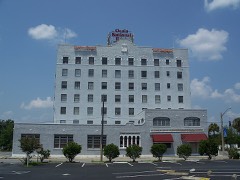
42-5Marion Hotel (In Ocala city, Commissioner's District 1)
42-6Ocala city - That part in Commissioner's District 1, excluding Ocala Hotel Bounded by W. Ocklawaha Ave.; S. Osceola; W. Eighth; Seaboard Air Line Railroad
42-7Ocala Hotel ( In Ocala city, Commissioner's District 1)
42-8Ocala city - That part in Commissioner's District 1 Bounded by W. Broadway, S. 22nd, W. Ocklawaha Ave., N. Academy, W. Ocklawaha Ave.; Seaboard Air Line Railroad; W. fifth, Myrtle, W. Tenth; City limits
42-9Ocala city - That part in Commissioner's District 1 Bounded by W. Tenth, Myrtle, W. fifth; Seaboard Air Line Railroad; City limits; City limits
42-10Ocala city - That part in Commissioner's District 1 Bounded by W. Eighth, E. Eighth; Orange Ave.; City limits; Seaboard Air Line Railroad
42-11Ocala city - That part in Commissioner's District 1 Bounded by E. Fifth; Commissioner's District line, City limits; City limits; Orange Ave., E. Eighth, S. Osceola
42-12Ocala city - That part in Commissioner's District 1 Bounded by E. Ocklawaha Ave.; Hazel, E. Fort, King Ave., S. High; E. Fifth; S. Osceola
42-13Ocala city - That part in Commissioner's District 1 Bounded by E. Ocklawaha Ave.; Commissioner's District line; E. Fifth; S. High, E. Fort King Ave., Hazel
42-14Ocala city - That part in Commissioner's District 4 Bounded by City limits; City limits; City limits; Commissioner's District line, E. Ocklawaha Ave., N. High, Seminole Ave., N. Newberry Ave., W. Henry Ave., Clay
42-15Ocala city - That part in Commissioner's District 4 Bounded by City limits; Clay, W. Henry Ave., N. Newberry Ave., Seminole Ave., N. High; E. Ocklawaha Ave.; N. Magnolia
42-16West End, unincorporated, comprising part of Districts 2 and 3: West End, unincorporated - That part in Commissioner's District 2 Bounded by Old Blichton Rd., Unnamed rd.; Ocala city limits; Commissioner's District line; State Hwy. 500
42-17West End, unincorporated - That part in Commissioner's District 3 Bounded by Commissioner's District line; cala city limits; State Hwy. 200; Unnamed rd.
42-18Commissioner's District 2, outside the unincorporated place of West End: Dunnellon town: Dunnellon town - That part northwest of Dougal Ave., north of Pennsylvania Ave., west of Glen Cove Ave., and northwest of Seaboard Air Line Railroad
42-19Dunnellon town - That part southeast of Dougal Ave., south of Pennsylvania Ave., east of Glencove Ave., and southeast of Seaboard Air Line Railroad
42-20Commissioner's District 2 - That part north of State Hwy. 320 and northeast of State Hwy. 500 and west of U.S. Hwy. 441
42-21Commissioner's District 2 - That part southwest of State Hwy. 500, north of State Hwy. 40 and east of Seaboard Air Line Railroad, outside the incorporated place of West End (See separate map for boundaries of West End)
42-22BCommissioner's District 2 - That part north and east of State Hwy. 500 and Hoge street and south of the section line between Sections 3, 10, 2, 11 and 1, 12 from State Hwy. 500 to Commissioner's District line outside Ocala city and the unincorporated place of West End
42-22ACommissioner's District 2 - That part south of State Hwy. 326, east of U.S. Hwy. 441, northeast of State Hwy. 500 and north of the section line between Sections 3, 10, 2, 11, and 1, 12 from State Hwy. 500 to Commissioner's District line
42-23Commissioner's District 2 - That part south of State Hwy. 40 and west of Seaboard Air Line Railroad, outside Dunnellon town (Remainder of Commissioner's District 2 is in the unincorporated place of west of Ocala)
42-24Commissioner's District 3, outside Ocala city and the unincorporated place of Area west of Ocala: Belleview town
42-25Oklawaha, unincorporated Bounded by Unnamed Rd., State Hwy. 464, Unnamed Rd.; Unnamed Rd., Unnamed Rd. extended; Lake Weir; Unnamed St. extended, Unnamed St., Unnamed St. extended
42-26Commissioner's District 3 - That part east of Atlantic Coast Line Railroad, outside the unincorporated place of Oklawaha (See separate map for boundaries of Oklawaha)
42-27Commissioner's District 3 - That part west of Atlantic Coast Line Railroad and east of U.S. Hwy. 441, State Hwys. 500 and 35, outside Belleview town and the unincorporated place of Oklawaha (See separate map for boundaries of Oklawaha)
42-28Commissioner's District 3 - That part west of U.S. Hwy. 441, State Hwys. 500 and 35, east of State Hwy. 475, outside Belleview town
42-29BCommissioner's District 3 - That part north of surveyed line approximately 1,000 ft. south of intersection of State Hwy. 475 and Seaboard Air Line Railroad from Orange Ave. to 32nd, and west of 32nd, outside Ocala city and the unincorporated place of West End
42-29ACommissioner's District 3 - That part west of State Hwy. 475 and south of surveyed line approximately 1,000 ft. south of intersection of State Hwy. 475 and Seaboard Air Line Railroad from Orange Ave. to 32nd, outside the unincorporated place of West End
42-30Commissioner's District 4, outside Ocala city - That part north of State Hwy. 40 and east of Ocklawaha River
42-31ACommissioner's District 4 - That part north of State Hwy. 40 and Weirdale Blvd., west of Oklawaha River, and east of the north - south section line between Sections 15, 16 and 9, 10 and 3, 4 from State Hwy. 40 to Weirdale Blvd.
42-31BCommissioner's District 4 - That part south of Weirdale Blvd., north of Ocklawaha Ave., west of State Hwy. 200 and west of the north - south section line between Section 15, 16 and 9, 10 and 3, 4 from State Hwy. 40 to Weirdale Blvd., outside Ocala city
42-31CCommissioner's District 4 - That part south of Weirdale Blvd. and west of State Hwy. 200, outside Ocala city
42-32BCommissioner's District 3 - That part bounded by Ocklawaha Ave., surveyed north - south line starting at intersection of Ocklawaha Ave., and State Hwy. 40 and ending approximately 750 Ft. south of Atlantic Coast Line Railroad west on surveyed line from this point to intersection of Section 29 - 28 line. This line north to city limits outside Ocala city.
42-32ACommissioner's District 4 - That part south of State Hwy. 40 and west of Oklawaha River, excluding Fla. Industrial School for Girls and the area south east of Ocala, bounded by Ocklawaha Ave., surveyed north - south line starting at intersection of Ocklawaha Ave., and state Hwy. 40 and ending approximately 750 ft. south of Atlantic Coast Line Railroad, west on surveyed line from this point to intersection of section 29 - 28 line. This line north to city limits.
42-33Florida Industrial School for Girls (in Commissioner's District 4)
42-34Commissioner's District 4 - That part east of Ocklawaha River and south of State Hwy. 40 (Remainder of Commissioner's District 4 is in Ocala city)
42-37Commissioner's District 5 - That part Bounded by County line; County line; Commissioner's District line; State Hwy. 315
42-38Commissioner's District 5 - That part Bounded by County line; State Hwy. 315; Commissioner's District line; State Hwy. 200
42-39Commissioner's District 5 - That part Bounded by County line; State Hwy. 200; State Hwy. 241; U.S. Hwy. 441, Reddick town limits, U.S. Hwy. 441, McIntosh town limits, U.S. Hwy. 441
42-40Commissioner's District 5 - That part Bounded by County line; U.S. Hwy. 441; McIntosh town limits, U.S. Hwy. 441, Reddick town limits, U.S. Hwy. 441; State Hwy. 241; Commissioner's District line
42-41Commissioner's District 5 - That part Bounded by Commissioner's District line, State Hwy. 241; State Hwy. 200; Commissioner's District line; Commissioner's District line
42-42Ocala city - That part in Commissioner's District 3 Bounded by W. 17th, 17th; City limits; City limits; City limits
Wildfire,
1992 to 2020
3,770 fires
Every wildfire the federal occurrence
database records inside this county: 3,770 of them, burning
about 68,430 acres. 657 started naturally and 374 were recorded as arson. Each settlement page carries the fires within
five miles of it.
Reported cause
Fires
Missing data/not specified/undetermined
686
Natural
657
Debris and open burning
600
Railroad operations and maintenance
583
Equipment and vehicle use
453
Arson/incendiarism
374
Recreation and ceremony
160
Misuse of fire by a minor
128
Power generation/transmission/distribution
59
Smoking
43
Other causes
16
Fireworks
7
Firearms and explosives use
4
The five largest, by the area the report
gives. None of them was recorded as arson.
Date
Cause
Size
Reported by
Name on the report
10 March 2009
Recreation and ceremony
10,022 acres
National Forests in Florida
JUNIPER SPRINGS #10
11 August 2006
Debris and open burning
4,014 acres
National Forests in Florida
JUNIPER
14 May 1996
Debris and open burning
3,149 acres
National Forests in Florida
MAJOR 1
18 October 2010
Equipment and vehicle use
3,111 acres
National Forests in Florida
BOMBING RANGE NINE21
8 July 1992
Natural
2,015 acres
National Forests in Florida
JUNIPER SPRINGS
2 March 2013
Missing data/not specified/undetermined
1,918 acres
National Forests in Florida
HOPKINS PRAIRIE
28 June 2010
Natural
1,221 acres
National Forests in Florida
SALT SPRINGS #16
6 May 2008
Equipment and vehicle use
1,200 acres
National Forests in Florida
BOMBING RANGE
Every settlement page carries the fires within five
miles of it - see the settlement index below.
Storms,
1957 to 2026
60 of 985 shown
The
NOAA Storm Events Database holds
985 reports for this county, causing 6 deaths, 97 injuries and about $68,629,160 in recorded property damage.
Each settlement page carries the reports that name it.
Kind of event
Reports
Thunderstorm Wind
488
Heavy Rain
181
Hail
140
Tornado
62
Funnel Cloud
32
Lightning
28
Flood
20
Flash Flood
17
Wildfire
17
The most serious of them, by death, then
injury, then recorded damage. The accounts are quoted exactly as the
forecast office filed them.
An F2 tornado touched down at 0550 EST about one mile north of Pedro in Marion County and moved east about 12 miles before lifting about three-quarters miles north of Weirsdale. A man received fatal head injuries while sitting in his car outside a mobile home when the car was rolled four times. Another 20 persons, mostly those in mobile homes, were injured. The tornado destroyed or heavily damaged 66 mobile homes with less extensive damage to another 85 dwellings, mostly mobile homes. The hardest hit communities were Lake Weir Harbor Estates and Bird Island. (M53A)
Marion County Emergency Management reported one fatality resulting from a snapped tree at Matheny Fire & Emergency on SW 46th Ave. in Ocala. A lawncare working was working outside when the tree fell onto him. The event time was based on radar.
8 persons injured when a 30 by 60 foot hospitality tent was blown over at The Villages retirement communities Nancy Lopez Golf Course. One person suffered serious facial injuries requiring transfer to a hospital in Orlando. Two dozen persons were trapped beneath the tent. Report supplemented from AP and CNN Reports.
Thunderstorm winds blew down power lines and large trees. One tree fell onto a car injuring two of its four occupants. The roof of a house in Summerfield was peeled off.
Marion County EM reported multiple downed powerlines near the intersection of SW 38th St and SW 60th Ave south of Ocala International Airport. One occupied vehicle was trapped by the downed lines which resulted in a minor injury. AWOS station OCF Ocala Airport measured a thunderstorm wind gust of 44 mph.
A power pole was blown down onto a vehicle | along South Pine Avenue with one person | inside. The person inside was electrically | shocked, but medical transport was not | needed. The time of damage was based on | radar.
A 22 yr old male was struck by lightning in Silver Springs. He was transported to the hospital as a precaution. The time of the event was based on radar.
A tornado formed 8 miles southwest of Ocala in a wooded area. It snapped off trees before heavily damaging two hangers and destroying another at the Ocala Airport. It continued northeast snapping off numerous trees, then moved over an industrial area where it heavily damaged several storage buildings and a warehouse. It moved through a wooded area dissipating about seven miles northeast of Ocala.
At 8:50 am on the 24th, a spotter reported flooded streets in Belleview. At 9 am, a spotter measured 4.5 inches of rainfall in Fairfield since midnight that morning. At 12:06 am on the 25th, a spotter measured 7.92 inches of rainfall on June 24th (a 24 hours total) about 6 miles south of the Ocala Airport. On the 25th at 10:21 am, a newspaper in Marion county reported State Road 40 in Ocala was closed due to high water. At 1:20 pm, the pubilc reported 10.25 inches near the Fellowship area in NW Marion county during the past 24 hours. At 5:15 pm that afternoon, a CoCoRaHS observer about 3 miles SSW of Micanopy reported 1.10 inches of rainfall in 30 minutes. Marion county had extensive problems with sinkholes, with an estimated 52 due to heavy rainfall from TS Debby. The cost of damage was estimated, and is likely a large under-estimate.
A large oak tree uprooted and fell onto a home in Ocala, FL. The tree fell completely through the roof and destroyed part of the home. The house has been condemned. Time was estimated by radar. Nearby AWOS station KOCF Ocala Airport - Jim Taylor Fld measured 52 mph peak wind at 304 PM.
Tornado was a weak FO, with some evidence of downburst. Damage was near Northeast 38th Street. Two homes with substantial roof damage, and 19 others with damage.
A large tree fell down and crushed six cars in the Chili's parking lot on SW 36th Avenue. The cost of damage was estimated at $20,000/car for inclusion of the event in StormData.
Broadcast media reported Marion County firefighters were called to a house fire on Southwest 115th Street around 8:19 p.m. The 911 caller told them the home was struck by lightning and the attic was filling with smoke. The roof caught on fire and quickly destroyed much of the inside of the home. The lightning caused a large hole in the roof. The family has been displaced. No injuries or fatalities.
Touchdown near intersection of U.S. Highway 27 and 95th Street. Minor damage to one barn and home at 9500 N. U.S. highway 27. Screen pool cover destroyed at home and large pine tree down across barn damaging the roof. Numerous trees and a fence line downed in area. Additional information from Ocala Star Banner 6/23/03.
trees and power lines down near Sparr. Approximately 15 trees down on road between Sparr and Fort McCoy including one down on a barn. Trees down in Fort McCoy.
A tornado travelled about 200 feet snapping off power poles and tearing part of a roof off of a mobile home and slightly damaging two other mobile homes.
Aluminum roof tiles and trusses came off roof of barn with fifty percent of the barn unroofed. Some tiles off roof of adjoining house. Tornado was not witnessed by the spotter; however, a farm hand reported "twisting clouds" which seemed to lift off the barn roof. Pictures of damage show aluminum roof tiles blown high into adjoining trees and wrapped around branches. Spotter also reported swirl pattern in field adjoining barn area.
Mines and
quarries
58 recorded
The Survey's mineral resources record
lists 58 workings inside this county. 33 still produce and 25 are closed or unrecorded. Each
settlement page carries the workings within five miles of it.
Named settlements recorded in the Geographic Names
Information System, each with the topographic sheets covering it. Villages,
hamlets and abandoned places alike. Each is shown with the nearest named
watercourse or landform and the survey quadrangle it falls on.
Topographic sheets. USGS Historical Topographic Map Collection, county index, measured from the bulk metadata.
Fire insurance maps. Library of Congress Sanborn collection, faceted to this county.
Photographs. Each place queried individually against the Library of Congress Prints and Photographs search.
Wildfire. Short, Karen C. 2022. Spatial wildfire occurrence data for the United States, 1992-2020 [FPA_FOD_20221014]. 6th Edition. Fort Collins, CO: Forest Service Research Data Archive. https://doi.org/10.2737/RDS-2013-0009.6 Collected with United States Government funding and usable without additional permissions or fees.
Mines and quarries. USGS Mineral Resources Data System (MRDS) https://mrdata.usgs.gov/mrds/ A work of the United States government, no copyright under 17 U.S.C. 105.
Storms. NOAA National Centers for Environmental Information, Storm Events Database https://www.ncei.noaa.gov/stormevents/ A work of the United States government, no copyright under 17 U.S.C. 105. Narratives are quoted verbatim from the National Weather Service report and are not edited or summarised.
 Block
Block