 Block
From the record
6 National Register listings published here.
Sources: the National Register database, National Park Service
32 topographic sheets cover 14 settlements here, and 6 properties are on the National Register of Historic Places.
6 National Register listings published here.
Sources: the National Register database, National Park Service
Taken for the Office of War Information and the Farm Security Administration, who photographed the country between 1935 and 1944. Works of United States government photographers, with no known restriction on use. Each opens its catalogue record.

Every property in this county listed on the National Register of Historic Places, with the year it was listed and the federal nomination document.
| Photograph | Property | Type | Listed | Reference |
|---|---|---|---|---|
 | Crawford County Courthouse | building | 1980 | 80001008 |
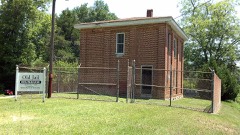 | Crawford County Jail | building | 1989 | 89000418 |
| Col. Benjamin Hawkins Gravesite | site | 2011 | 11000790 | |
| Roberta Historic District | district | 1989 | 89000365 | |
 | The Georgia Post Building | building | 2013 | 13000214 |
| Williams-Moore-Hillsman House | building | 2001 | 01000645 |
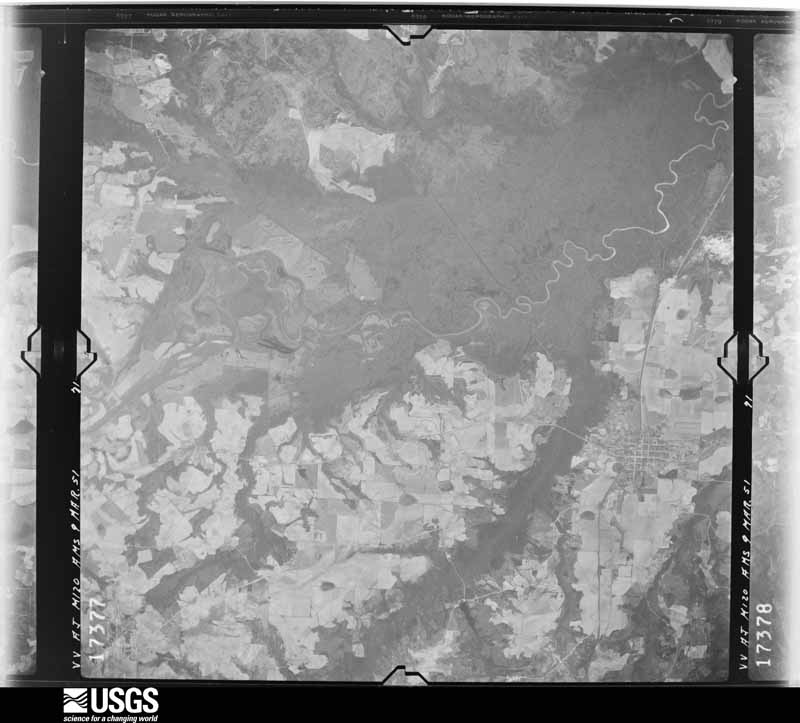
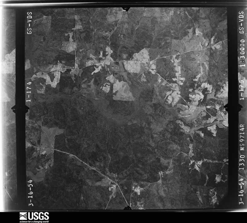
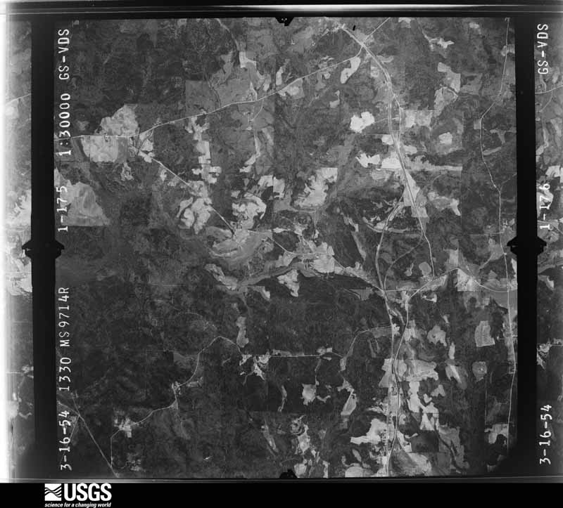
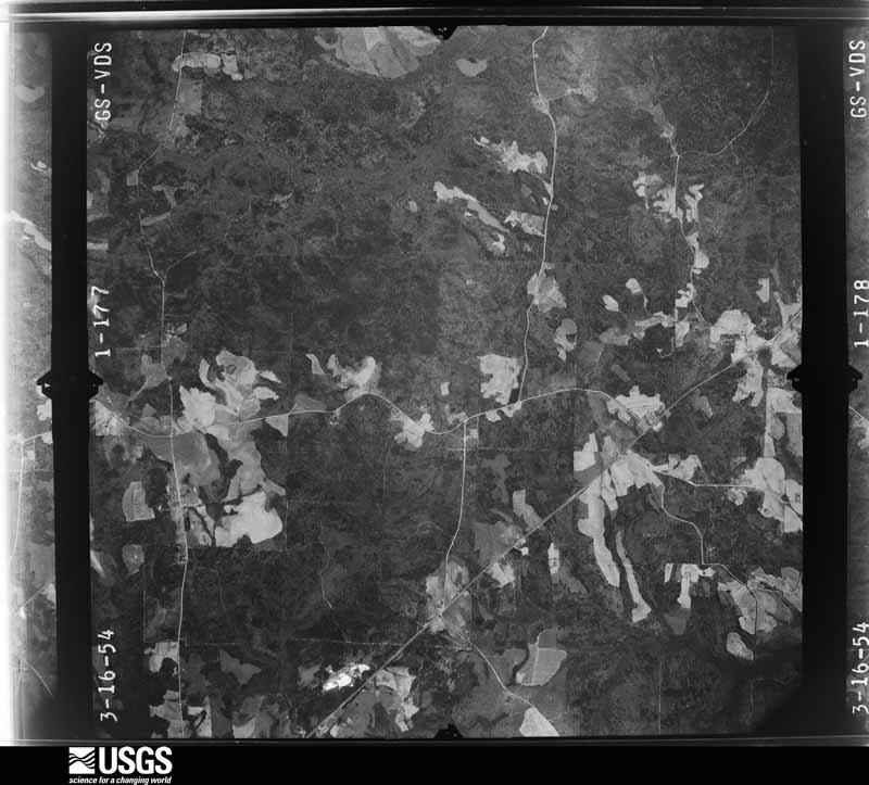
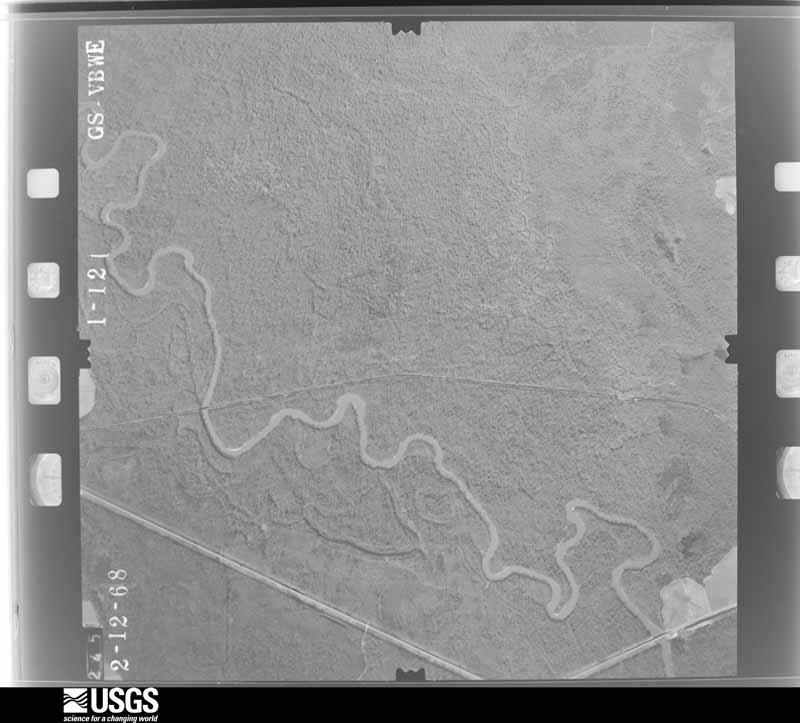
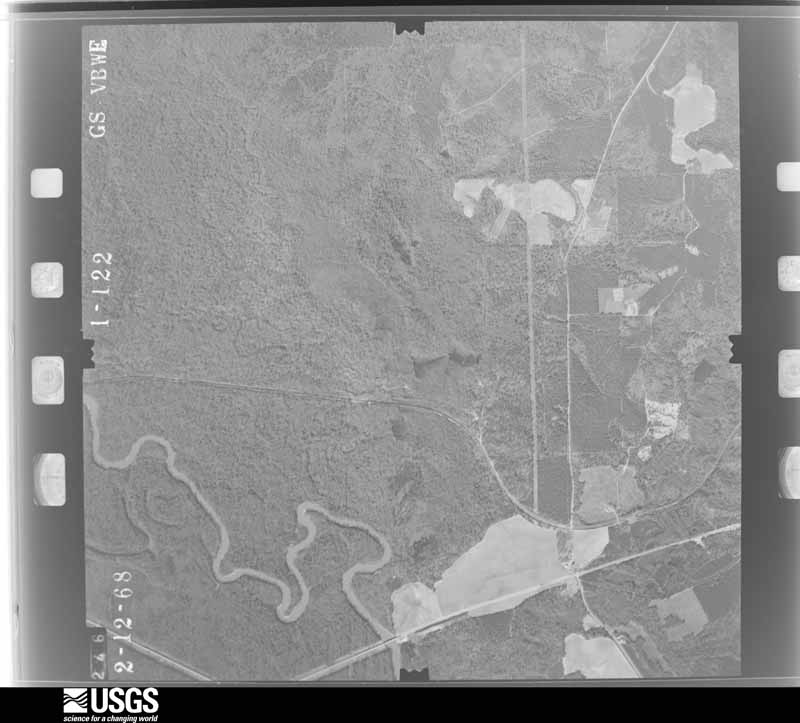
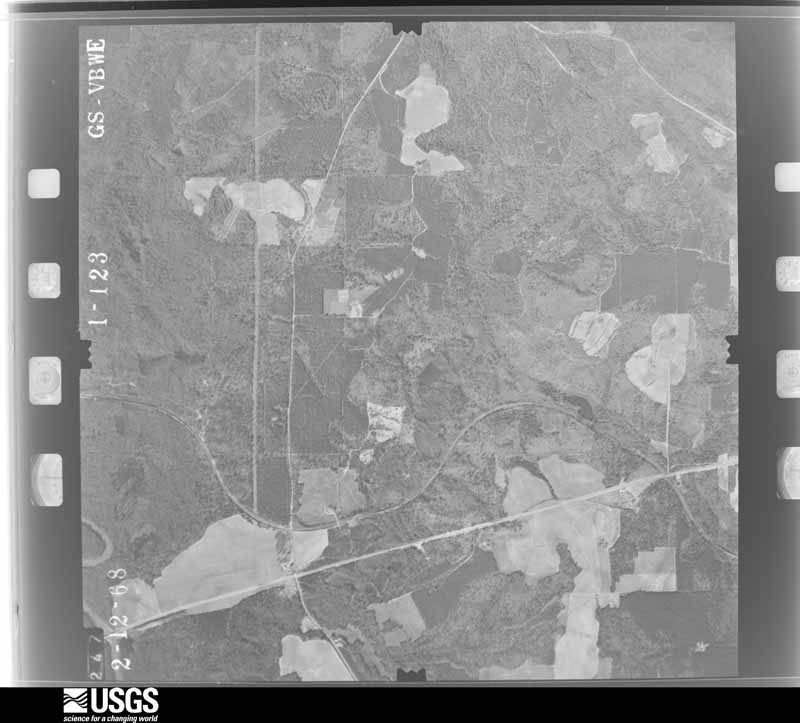
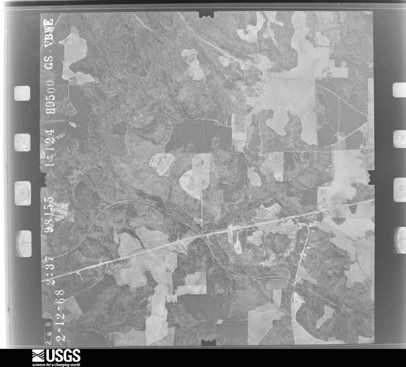
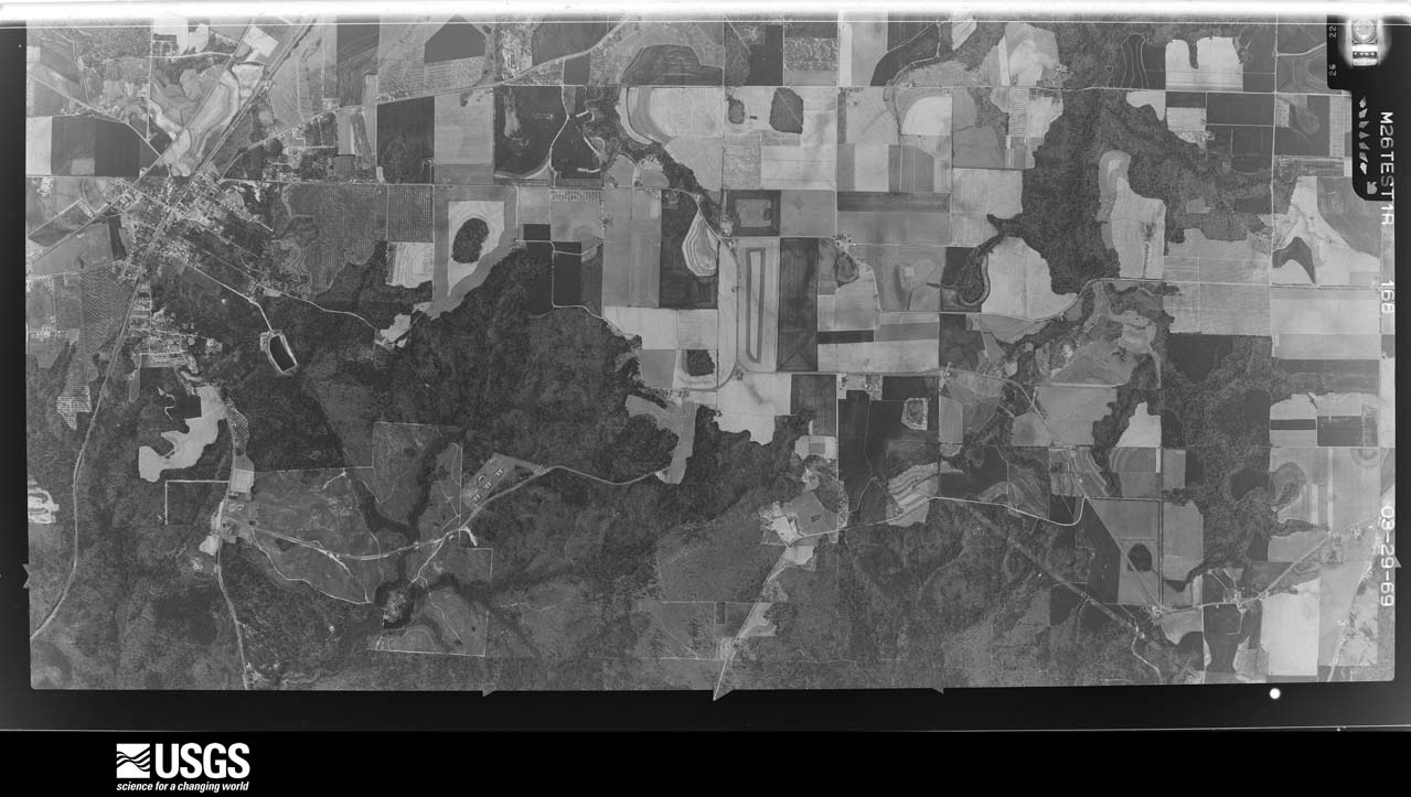
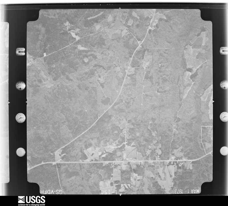
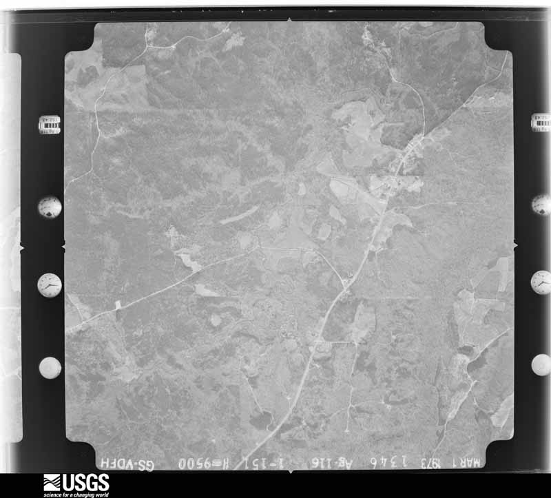
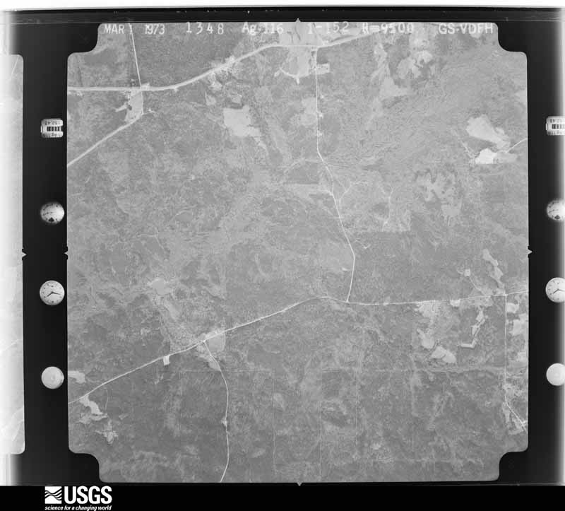
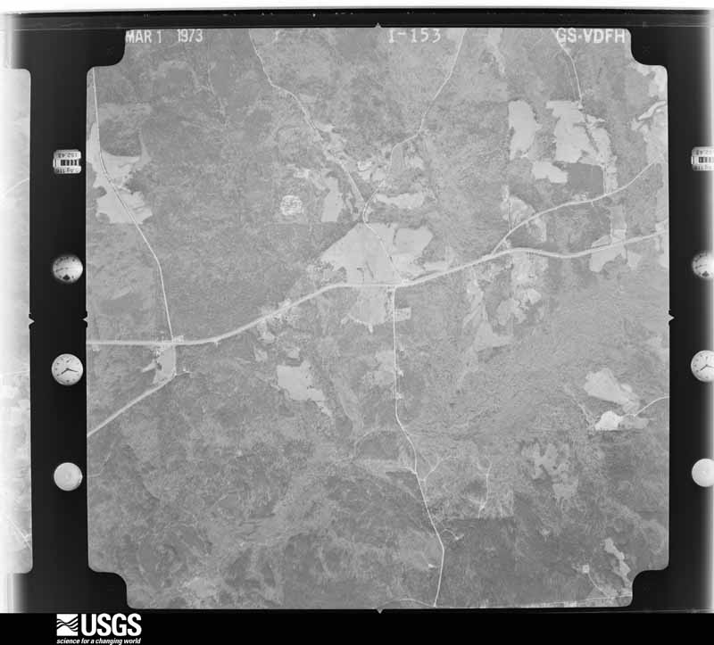
Flown by the U.S. Geological Survey between 1937 and 1989, the Aerial Photo Single Frames collection is the definitive mid-century view of the land: fields, roads and rivers as the camera saw them. The Survey holds 972 frames inside the rectangle that bounds this county; the 26 frames below were taken over the county itself, chosen across the decades of flights (at most four a year from that rectangle), so one flight cannot crowd out the rest. The full set is free to browse and download at EarthExplorer under the dataset Aerial Photo Single Frames.













The thermometers that kept this county's weather, as the federal records hold them.
Who lived here in 1950, one enumeration district at a time, as the Census Bureau described each district. Each row opens its official National Archives result, with Population Schedules and ED Maps available there.
Every wildfire the federal occurrence database records inside this county: 1,346 of them, burning about 4,744 acres. 57 started naturally and 172 were recorded as arson. Each settlement page carries the fires within five miles of it.
| Reported cause | Fires |
|---|---|
| Debris and open burning | 789 |
| Arson/incendiarism | 172 |
| Equipment and vehicle use | 122 |
| Missing data/not specified/undetermined | 64 |
| Natural | 57 |
| Misuse of fire by a minor | 55 |
| Recreation and ceremony | 44 |
| Smoking | 42 |
| Railroad operations and maintenance | 1 |
The five largest, by the area the report gives. Three of them were set deliberately.
| Date | Cause | Size | Reported by | Name on the report |
|---|---|---|---|---|
| 17 April 2006 | Arson/incendiarism | 256 acres | Georgia Forestry Commission | not named |
| 8 August 2007 | Natural | 194 acres | Georgia Forestry Commission | not named |
| 20 March 2012 | Debris and open burning | 127 acres | Georgia Forestry Commission | FY2012-CRAWFORD-015 |
| 8 March 2004 | Arson/incendiarism | 126 acres | Georgia Forestry Commission | not named |
| 4 October 2016 | Debris and open burning | 97 acres | Georgia Forestry Commission | FY2017-CRAWFORD-008 |
| 3 September 2011 | Debris and open burning | 96 acres | Georgia Forestry Commission | FY2012-CRAWFORD-004 |
| 26 March 2017 | Debris and open burning | 94 acres | Georgia Forestry Commission | FY2017-CRAWFORD-048 |
| 24 March 2003 | Arson/incendiarism | 90 acres | Georgia Forestry Commission | not named |
Every settlement page carries the fires within five miles of it - see the settlement index below.
The NOAA Storm Events Database holds 171 reports for this county, causing no deaths, 33 injuries and about $7,835,050 in recorded property damage. Each settlement page carries the reports that name it.
| Kind of event | Reports |
|---|---|
| Thunderstorm Wind | 109 |
| Hail | 33 |
| Tornado | 13 |
| Flash Flood | 7 |
| Lightning | 6 |
| Flood | 2 |
| Winter Storm | 1 |
The most serious of them, by death, then injury, then recorded damage. The accounts are quoted exactly as the forecast office filed them.
| When | Event | Place named | Harm | What the report says |
|---|---|---|---|---|
| March 1954 | Tornado (F3) | not stated | 15 hurt, $2,500,000 | no account filed |
| March 2007 | Tornado (EF3) | Knoxville | 9 hurt, $500,000 | A storm survey conducted by the National Weather Service in Peachtree City, GA concluded that an EF3 tornado touched down approximately four miles east of Knoxville and continued east-northeast into Bibb county ending just southeast of Lizella. The tornado exited Crawford county about 5.5 miles east of Sandy Point or about 9 miles east-northeast of Knoxville. The tornado traveled over six miles in Crawford county, but the path length of the entire track was approximately 8.5 miles long with a maximum path width of one-quarter mile. Significant damage was noted along the path of the tornado, especially along Sandy Point Road in northeast Crawford county. Here, several homes and outbuildings were heavily damaged or destroyed. Numerous trees were either snapped or uprooted. Nine injuries were reported in the area of the damaged homes. |
| February 2008 | Tornado (EF1) | Roberta | 8 hurt, $550,000 | An aerial and ground survey conducted by the National Weather Service Forecast Office of Peachtree City, Georgia and the Georgia State Patrol concluded that the same supercell thunderstorm that spawned a tornado in Alabama, tracked across Stewart, Chattahoochee, Marion, and Taylor counties, continued into Crawford county. The tornado entered the county five to six miles southwest of Roberta, tracked just north of downtown Roberta, crossed U.S. Highway 341 and continued to a point approximately four miles northeast of Roberta, where it finally lifted. The tornado reached its strongest intensity while passing through Crawford county as an EF1. The damage path was about 10 miles long and at various points along the path was 250 yards wide. Significant damage was reported across the county as a result of the tornado. The tornado destroyed nine structures and damaged three others, most of which were manufactured homes. The most significant damage occurred along Walker Chapel Road and Felton Road, southwest of Roberta, and northeast of Roberta along Salem Church Road. Six injuries, two of which were critical, were reported from the damaged mobile homes in the area of Felton Road. Numerous trees and power lines were downed along the path of the tornado as well, particularly along Georgia Highway 137/128 southwest of Roberta. While the supercell continued into Bibb county, the survey concluded that there was no conclusive evidence that the tornado remained on the ground into Bibb county. |
| March 2019 | Tornado (EF2) | Lee Pope | 1 hurt, $100,000 | A National Weather Service survey team determined that an EF0 tornado touched down along Lee Pope Road where large pine trees were uprooted. The tornado moved|east-northeast across Highway 341 to Greer Road, at which point winds increased into the EF2 range. A mobile home on Greer Road was flipped and demolished, and a vehicle was flipped and rolled, a woman inside the mobile home sustained a broken ankle. The tornado weakened then to EF1, downing trees as it crossed Walton Road, before reaching re-strengthening to EF2 briefly for a second time along Wesley Chapel Road. A home at this location had its roof completely removed and some exterior walls collapsed. A neighboring home sustained roof damage from the large amount of flying debris. The tornado again weakened to EF1 intensity as it crossed into Peach County along Mossy Creek. [03/03/19: Tornado #1, County #1/2, EF2, Crawford, Peach, 2019:006]. |
| December 1964 | Tornado (F3) | not stated | $2,500,000 | no account filed |
| April 2011 | Thunderstorm Wind | Musella | $250,000 | The Crawford County Emergency Management Director reported that wind damage was widespread across the county. Dozens of trees and power lines were down across the county. Amateur radio operators reported that at least two dozen large trees were down just along U.S. Highway 80 east of Roberta. Four homes sustained major damage from downed trees. A fourth of the roof of the Crawford County Middle School sustained significant damage from wind. Power outages were widespread across the county. |
| October 2018 | Tornado (EF1) | Hammett | $200,000 | A National Weather Service survey found that an EF1 tornado with maximum winds of 110 MPH and a maximum path width of 250 yards occurred in Crawford. The tornado touched down along Avera Road southwest of Roberta snapping a few small trees and branches near a residence just east of the Hammett Road intersection. The tornado moved northwest crossing Pope Road and Carroll Road snapping and uprooting several trees. The tornado then intensified as it continued moving northwest along Flint River Estates road where numerous trees were snapped or uprooted, including many hardwood trees. Several homes along the road were damaged by falling trees. A detached workshop at one of the homes was completely destroyed as an open overhead door allowed the EF1 strength winds into the building leading to its complete failure. The tornado continued on to the northwest snapping several trees as it crossed State Route 128 where another residence was damaged by falling trees. The tornado then crossed Hortman Road where a few small trees and large branches were downed before lifting as it approached Walker Chapel Road. [10/10/18: Tornado #2, County #1/1, EF-1, Crawford, 2018:013]. |
| July 2012 | Lightning | Sandy Point | $150,000 | Broadcast Media reported that a house was destroyed by a lightning fire off Marshall Mill Road. No injuries were reported. |
| July 2012 | Lightning | Nakomis | $100,000 | Broadcast Media relayed a report of a house fire along Pea Ridge Road. No injuries occurred, but the house was totally destroyed. |
| March 2007 | Tornado (EF1) | Horns | $100,000 | A damage survey conducted by the National Weather Service in Peachtree City, GA concluded that an EF1 tornado tracked across southeast Crawford county. The tornado touched down 4.5 miles south-southeast of Horns and continued on an east-northeastward track, terminating just north of the community of Friendship near the Bibb county line, or almost 11 miles east of Knoxville. Intermittent damage was found along the nearly 12-mile long path of the tornado. The maximum path width was 100 yards wide. Numerous trees were down and several outbuildings were damaged or destroyed. Several homes suffered minor structural damage. |
| February 1996 | Thunderstorm Wind | Roberta | $100,000 | no account filed |
| March 2011 | Hail | Roberta | $78,000 | The Crawford County Emergency Management Director reported golf ball-sized hail just north of Roberta. This hail fell from a separate thunderstorm cell from that which tracked across the northern part of the county producing quarter-sized hail near Musella, 40 to 45 minutes prior. WSR-88D radar data suggests that quarter to golf ball-sized hail likely fell from just northwest to immediately east of Roberta. |
| March 2019 | Hail | Sandy Point | $76,000 | An amateur radio operator reported golf ball size hail near around the intersection of Jordan Road and Boy Scout Road. |
| April 2015 | Hail | Sandy Point | $76,000 | The public reported golf ball size hail on Richardson Mill Road. |
| June 2007 | Thunderstorm Wind | Lee Pope | $30,000 | WMAZ Television of Macon reported that thunderstorm wind gusts blew down between 75 and 80 trees across southeastern Crawford county near Lee Pope on Greer and House Roads. Minor damage was reported to a home on House Road and a portion of siding was blown off a double-wide mobile home on Greer Road. Some irrigation equipment in the area was also damaged. |
| January 2021 | Tornado (EF0) | Ceres | $25,000 | A National Weather Service survey found that an EF0 tornado with maximum wind speeds of 75 MPH and a maximum path width of 100 yards touched down along W. Hopewell Road just east of Horse Creek and travelled northeast, ending just east of Taylor Road. Multiple trees were blown down along W. Hopewell Road and Taylor Road and part of the roof of a home was blown off in this area. [1/1/21: Tornado #2, County #1/1, EF-0, Crawford, 2021:002]. |
| August 2009 | Thunderstorm Wind | Knoxville | $25,000 | The public reported that a poultry house collapsed from very localized thunderstorm downburst winds. A very small thunderstorm was noted in the area at the time. The damaged occurred approximately four miles southeast of the county courthouse in Knoxville. |
| July 2003 | Flash Flood | Roberta | $25,000 | The Georgia Post of Roberta reported that three inches of rain in a short period of time resulted in the erosion of two roads, Blasingame Road and Taylor Mill Road, as swift running water washed over the roads. |
| March 2003 | Thunderstorm Wind | Roberta | $25,000 | The Crawford county 911 center reported that several trees were blown down on automobiles. |
| July 1997 | Lightning | Roberta | $25,000 | Lightning apparently struck an electrical box leading to the attic of the manufactured home. The fire which ensued was contained, and damage was confined to the attic area and a washroom and bathroom. |
| April 1979 | Tornado (F1) | not stated | $25,000 | no account filed |
| June 1971 | Tornado (F1) | not stated | $25,000 | no account filed |
| September 2020 | Flash Flood | Lee Pope | $20,000 | The Emergency Manager reported a portion of road had collapsed near the intersection of Taylors Mill Road and Ray Road. Radar estimates indicate that 6 to 8 inches of rain fell over the area. |
| June 2016 | Thunderstorm Wind | Zenith | $20,000 | The Crawford County 911 center reported numerous trees and power lines blown down across the southeastern portion of the county along Taylors Mill Road, Jackson Road and Zenith Mill Road. Some trees fell on houses in the Taylors Mill area, however no injuries were reported. |
| July 1999 | Lightning | Roberta | $20,000 | Fire started by lightning destroyed 2 storage sheds and damaged a mobile home on Hardison Church Road. |
| May 2024 | Thunderstorm Wind | Ceres | $10,000 | EM and Public reported trees snapped and uprooted from Oak Grove Church Road a mile west of hwy 341 to hwy 80 at Sandy Point Rd. |
| May 2021 | Thunderstorm Wind | Ceres | $10,000 | The Crawford County Emergency Manager reported several trees blown down near the intersection of Hopewell Road and Highway 80. |
| September 2020 | Flash Flood | Sandy Point | $10,000 | The Emergency Manager reported high runoff washed out part of Spring Hill Church Road off Highway 80, east of Roberta. Radar estimates indicate that 6 to 8 inches of rain occurred over the area, causing the flash flooding. |
| June 2019 | Thunderstorm Wind | Musella | $10,000 | The Crawford County 911 center reported multiple trees down across the county. Some locations included River Road near Highway 96, Dabney Avenue, Winifred Street, Hopewell Road near Highway 341, and Eastwood Drive. |
| February 2017 | Thunderstorm Wind | Ceres | $10,000 | The Crawford County 911 center reported numerous trees blown down across western and northern Crawford County from Highway 80 northwest of Roberta to Highway 341 south of Musella. |
| February 2017 | Thunderstorm Wind | Nakomis | $10,000 | The Crawford County 911 center reported multiple trees blown down between Crook Road and Tribble Road in the southern portion of the county. |
| April 2017 | Thunderstorm Wind | Lee Pope | $10,000 | An amateur radio operator reported multiple trees and power lines down along Taylors Mill Road. |
| September 2009 | Flood | Francisville | $10,000 | The Crawford County Emergency Management Director reported that general flooding continued for several hours after flash flooding had subsided. Several roads remained under water throughout the night and early morning hours. Additional minor damage was observed from the flooding. |
| September 2009 | Flash Flood | Francisville | $10,000 | The Crawford County Emergency Management Director reported considerable flash flooding across the county. Georgia Highway 128 was closed because of flooding and six secondary roads were washed out and closed because of flooding. |
| May 2008 | Thunderstorm Wind | Musella | $10,000 | The Crawford County 911 Center reported that many trees and power lines were down across the county. Radar data supported that the majority of the damage would have occurred north of a line from Musella in the northwest part of the county to Friendship in the eastern central section of the county. |
| July 1999 | Lightning | Roberta | $10,000 | Crawford county 911 reported lightning set a barn on fire. |
| June 1998 | Thunderstorm Wind | Roberta | $10,000 | Public and spotter reports indicated a large oak tree, pine trees, and some power lines were knocked down. |
| April 1997 | Thunderstorm Wind | Musella | $10,000 | no account filed |
| June 2020 | Thunderstorm Wind | Zenith | $6,000 | The Crawford County 911 center reported several trees blown down along Highway 341 around East Houze Road. |
| September 2017 | Thunderstorm Wind | Sandy Point | $6,000 | The Crawford County 911 center reported several trees blown down from around the intersection of Marshall Mill Road and Pottery Road to around the intersection of Walton Road and Union Church Road. |
| November 2014 | Thunderstorm Wind | Roberta | $6,000 | The Crawford County 911 Center reported numerous trees and power lines down across the county. |
| November 2018 | Thunderstorm Wind | Roberta | $5,000 | The Crawford County transportation department reported a tree blown down across Highway 22 near Dixon Road. |
| August 2018 | Thunderstorm Wind | Roberta | $5,000 | The Crawford County Emergency Manager reported a couple of large trees down near the intersection of Highway 341 and West Agency Street in Roberta. One tree knocked out a transformer. Time estimated. |
| April 2016 | Tornado (EF0) | Pope Place | $5,000 | A National Weather Service survey team found that the EF-0 tornado that moved across eastern Taylor County crossed the Flint River briefly into Crawford County snapping and uprooting a few trees in the swamp along the river before lifting. [04/01/16: Tornado #1, County #2-2, EF0, Taylor-Crawford, 2016:001]. |
| April 2016 | Thunderstorm Wind | Lee Pope | $5,000 | The Crawford County Emergency Manager reported several trees blown down near Zenith Mill Drive and Lee Pope Road and one power line blown down on a home. |
| May 2008 | Thunderstorm Wind | Musella | $5,000 | An amateur radio operator reported that several trees were down along Georgia Highway 42 north of Roberta to near the Monroe county line. |
| July 2008 | Thunderstorm Wind | Musella | $5,000 | The Crawford County 911 Center reported that many trees were down across the northern end of the county. |
| August 2005 | Thunderstorm Wind | Roberta | $5,000 | The Georgia Post of Roberta reported that 14 large trees were blown down around a century-old home. One of the fallen tree limbs caused minor damage to the side of the structure. A nearby pecan orchard also suffered minor to moderate damage. There were reports of a possible tornado in the area and National Weather Service Doppler radar indicated a definite mesocyclone in the area at the time. However, a damage survey did not confirm any tornado touchdown in the county. |
| July 2005 | Flash Flood | Roberta | $5,000 | The Georgia Post of Roberta reported that a small creek overflowed its banks and caused a culvert under a red clay road to wash out. The road was left with a large gaping hole as a result. |
| March 2001 | Thunderstorm Wind | Roberta | $5,000 | The Crawford county 911 center reported power lines and trees down along with trees blown down on power lines. |
| June 1994 | Thunderstorm Wind | Roberta | $5,000 | Several trees and power lines were downed by thunderstorm winds. |
| January 2014 | Thunderstorm Wind | Knoxville | $4,000 | The Crawford County Emergency Manager reported that a porch was blown off the front of a home on Jackson Road. Several trees were blown down in the county as well. |
| June 2011 | Thunderstorm Wind | Musella | $4,000 | The Crawford County 911 Center reported that at least six trees were down across the county from strong thunderstorm outflow winds. Some power lines were also down. Trees were down on Jackson Road, Tribble Road, Zenith Mill Road, Charlotte Drive, and Knoxville Road. |
| July 2007 | Thunderstorm Wind | Musella | $4,000 | The Crawford County 911 Center reported that eight trees and three power lines were down, scattered about the county. |
| May 1997 | Thunderstorm Wind | Roberta | $3,500 | Several trees were knocked down across the area. Fallen tree limbs caused power lines to snap. Much of the county was without power for more than 7 hours. |
| August 2023 | Thunderstorm Wind | Lee Pope | $3,000 | Reports of several trees down on Union Church Rd in the area around Walton Rd. |
| May 2016 | Thunderstorm Wind | Knoxville | $3,000 | The Crawford County 911 center reported three trees blown down on Highway 80 northeast of Knoxville. |
| June 2015 | Thunderstorm Wind | Francisville | $3,000 | The Crawford County 911 Center reported trees blown down around Walkers Chapel Road and Highway 128. |
| July 2012 | Thunderstorm Wind | Francisville | $3,000 | The Crawford County 911 Center reported that several trees and power lines were blown down along Whitaker Road. |
| May 2003 | Thunderstorm Wind | Countywide | $3,000 | The Crawford county Sheriff's office reported that some trees were down on Georgia Highway 42, five miles southeast of Roberta. The Georgia Post of Roberta reported that a number of trees were blown down throughout the county. |
The Survey's mineral resources record lists 4 workings inside this county. 1 still produces and 3 are closed or unrecorded. Each settlement page carries the workings within five miles of it.
| Commodity | Workings |
|---|---|
| Sand and Gravel, Construction | 4 |
The least common of them first, because a county's hundredth gravel pit says nothing its first ten did not.
| Where | Site | Commodity | Status | Recorded |
|---|---|---|---|---|
| Forsyth Pit | Sand and Gravel, Construction | Occurrence | ||
| Knoxville Pit | Sand and Gravel, Construction | Occurrence | ||
| Rollo Pit | Sand and Gravel, Construction | Occurrence | Sedimentary | |
| Rollo Pit | Sand and Gravel, Construction | Producer |
Named settlements recorded in the Geographic Names Information System, each with the topographic sheets covering it. Villages, hamlets and abandoned places alike. Each is shown with the nearest named watercourse or landform and the survey quadrangle it falls on.
Roberta census division · 31078 · On Boggy Branch · Roberta quadrangle
8 sheets, 1955 to 1981
Zenith census division · 31078 · On Spring Creek · Roberta quadrangle
8 sheets, 1955 to 1981
Zenith census division · 31078 · On Big Branch Lewis Creek · Roberta quadrangle
8 sheets, 1955 to 1981
Zenith census division · 31078 · On Big Branch Lewis Creek · Roberta quadrangle
8 sheets, 1955 to 1981
Zenith census division · 31030 · On Beaver Creek · Reynolds quadrangle
8 sheets, 1955 to 1981
Roberta census division · 31078 · On Grace Branch · Roberta quadrangle
8 sheets, 1955 to 1981
The complete index, with nothing left out. Each of these is a separate record with its own page: a federal survey report, or the case file that argued a property on to the National Register. Both are public domain and reproduced word for word.