 Block
From the record
14 National Register listings published here, 1 of them a National Historic Landmark.
Sources: the National Register database, National Park Service
60 topographic sheets cover 33 settlements here, and 14 properties are on the National Register of Historic Places.
14 National Register listings published here, 1 of them a National Historic Landmark.
Sources: the National Register database, National Park Service
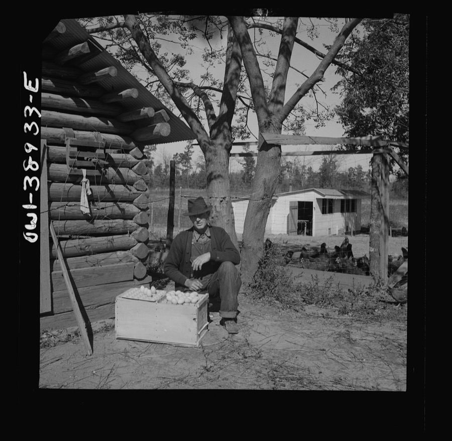
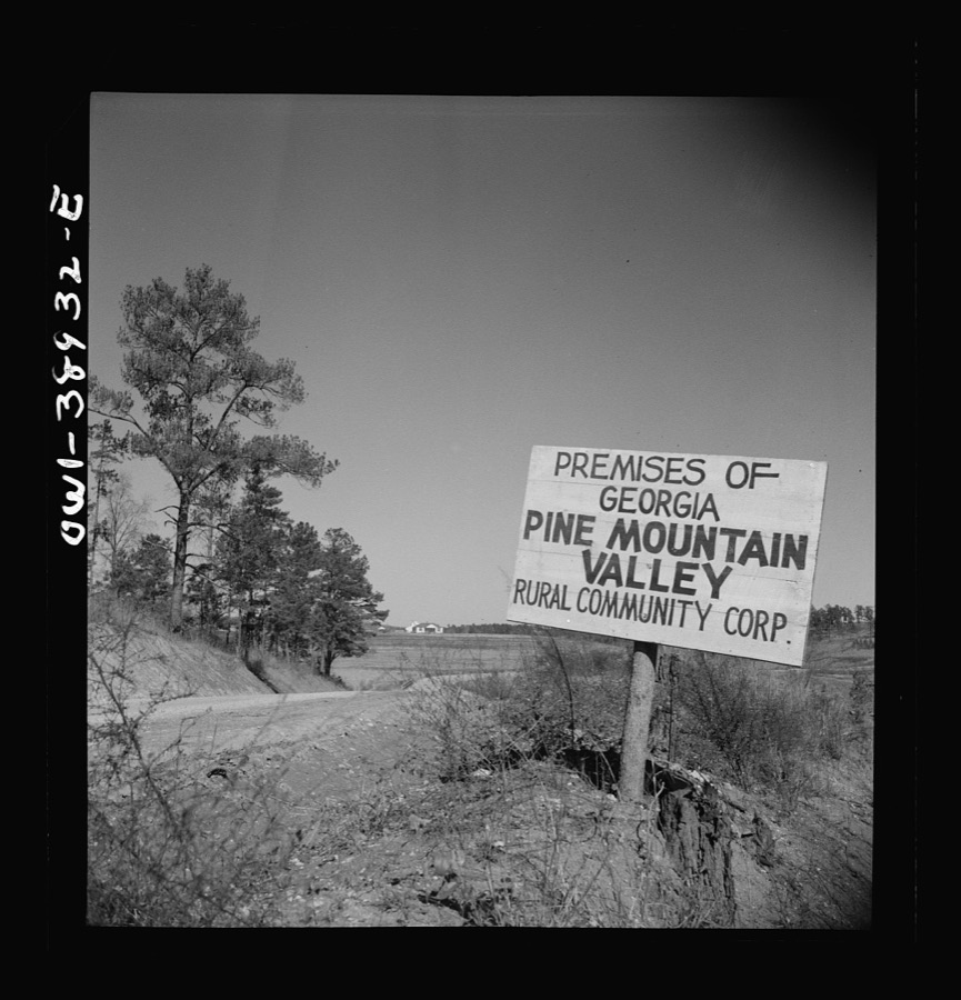
Taken for the Office of War Information and the Farm Security Administration, who photographed the country between 1935 and 1944. Works of United States government photographers, with no known restriction on use. Each opens its catalogue record.
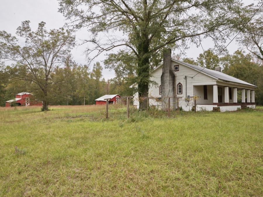
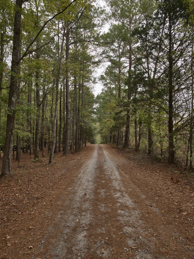
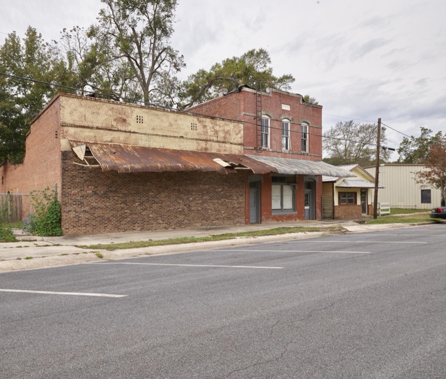

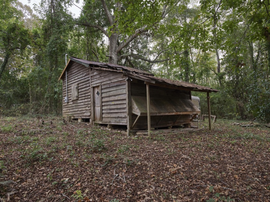
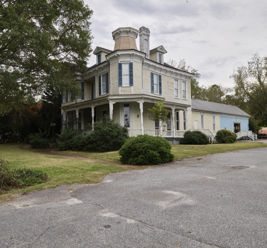

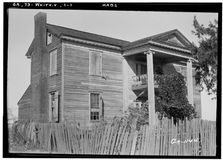
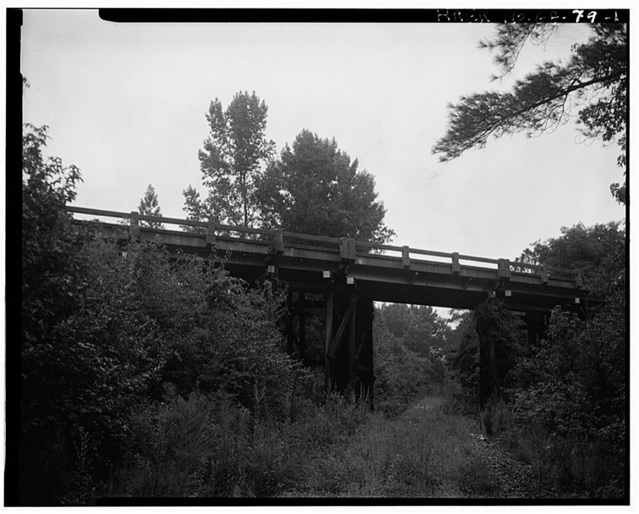
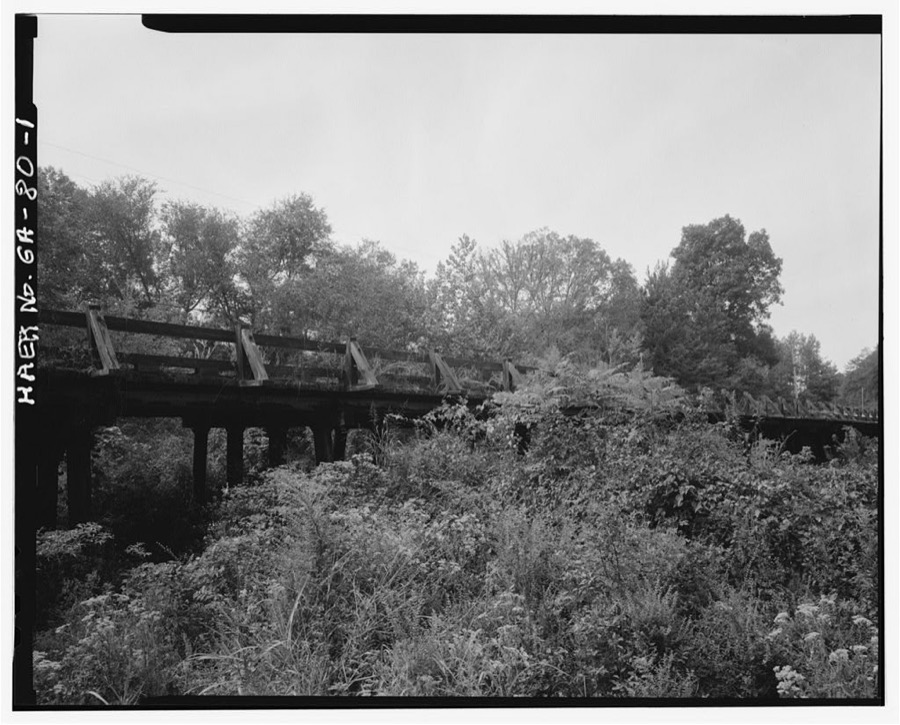
Every property in this county listed on the National Register of Historic Places, with the year it was listed and the federal nomination document.
| Photograph | Property | Type | Listed | Reference |
|---|---|---|---|---|
| Bethlehem Baptist Church Colored School | building | 2008 | 08001246 | |
| Cason and Virginia Callaway House | district | 2002 | 02000713 | |
 | Chipley-Pine Mountain Town Hall | building | 1986 | 86000796 |
 | William and Ann Copeland Jr. House | building | 2008 | 08000969 |
| Welcome P. Duke Log House | building | 1999 | 99000803 | |
 | Hamilton Baptist Church and Pastorium | building | 1982 | 82002448 |
 | Harris County Courthouse | building | 1980 | 80001089 |
| Mountain Hill District Consolidated School | building | 1998 | 98001558 | |
 | Pine Mountain State Park | district | 1997 | 97001273 |
 | Story-Hadley House | building | 2002 | 02001217 |
 | Sunnyside School-Midway Baptist Church and Midway Cemetery Historic District | district | 1999 | 99001101 |
| Thornton Plantation | building | 2004 | 04001212 | |
 | White Hall | building | 1974 | 74000689 |
 | Whitesville Methodist Episcopal Church, South, andd Cemetery | building | 2002 | 02000077 |
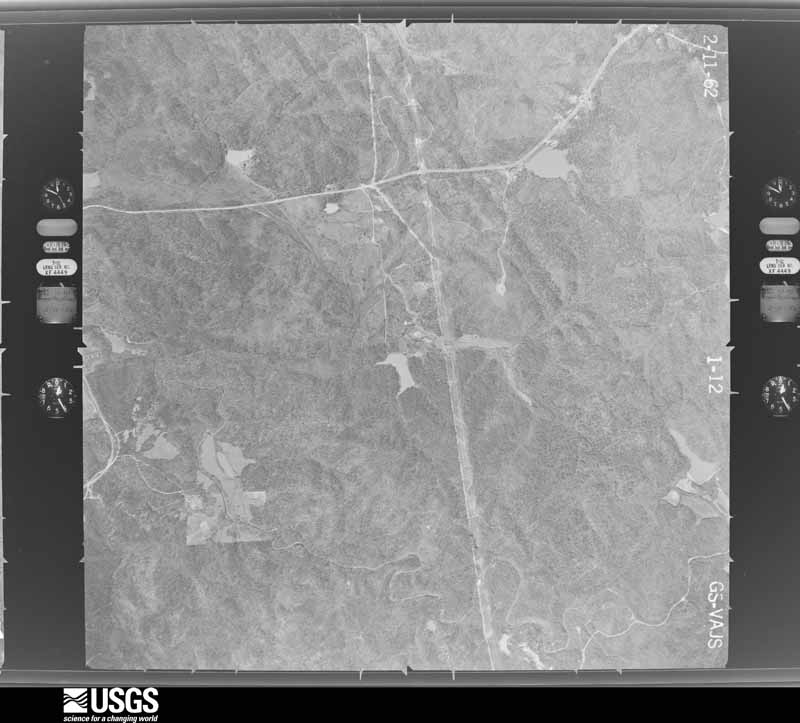
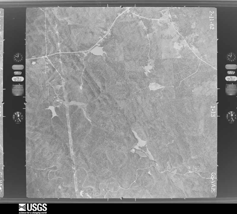
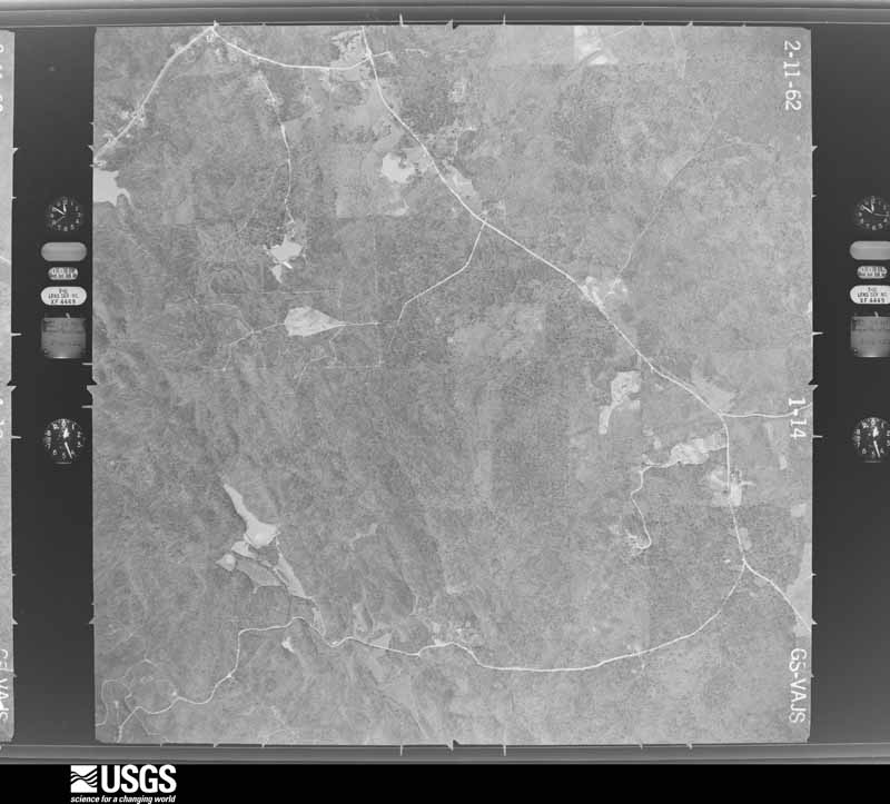
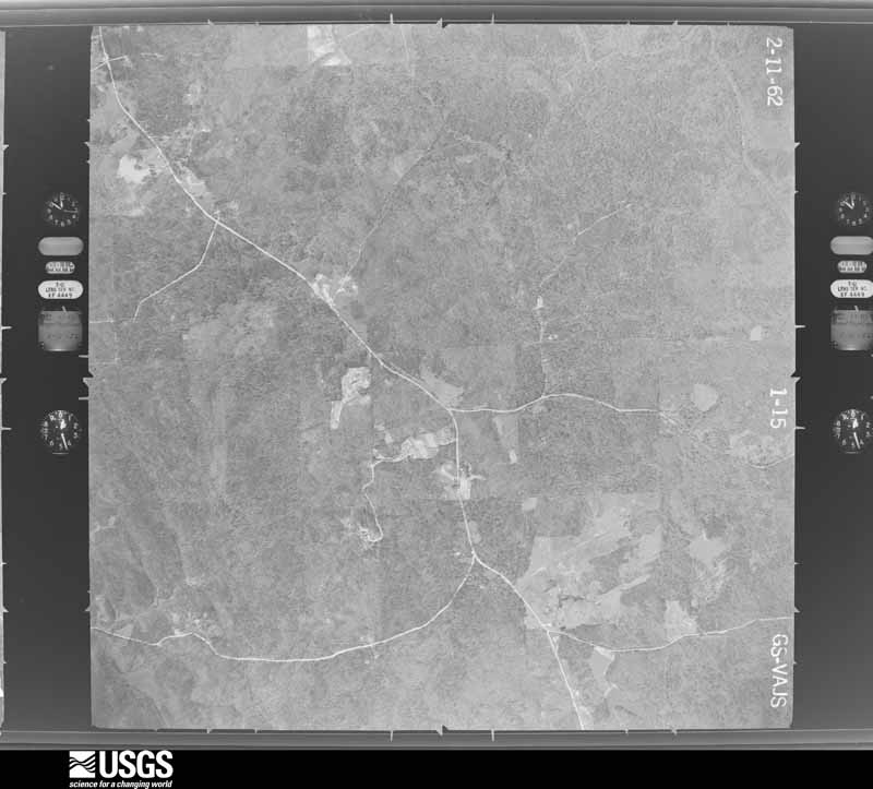
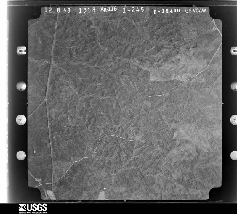
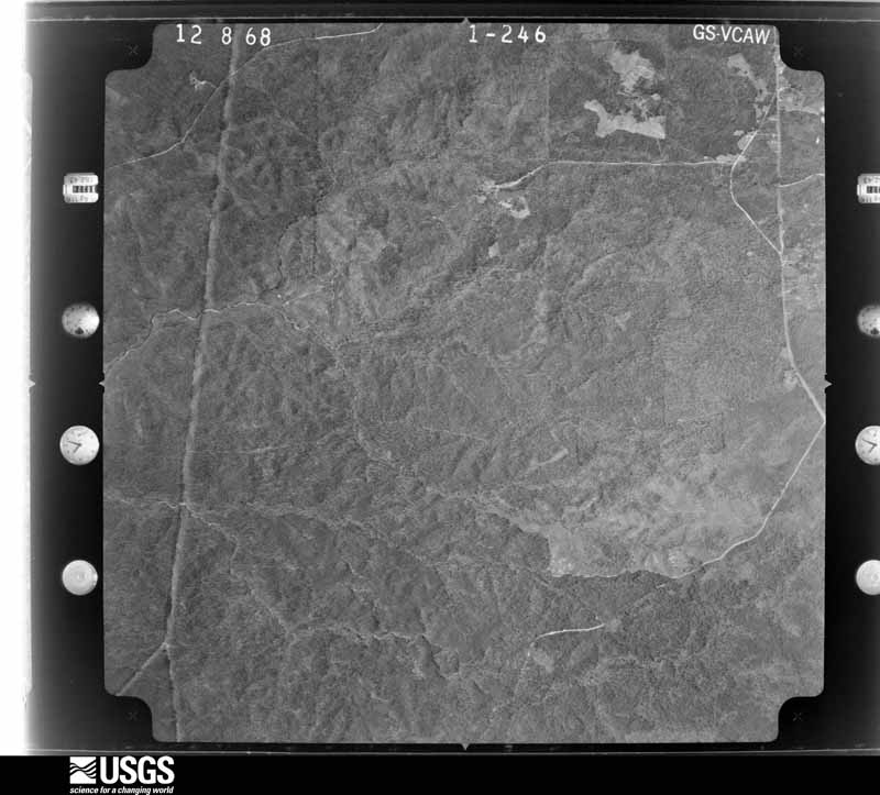
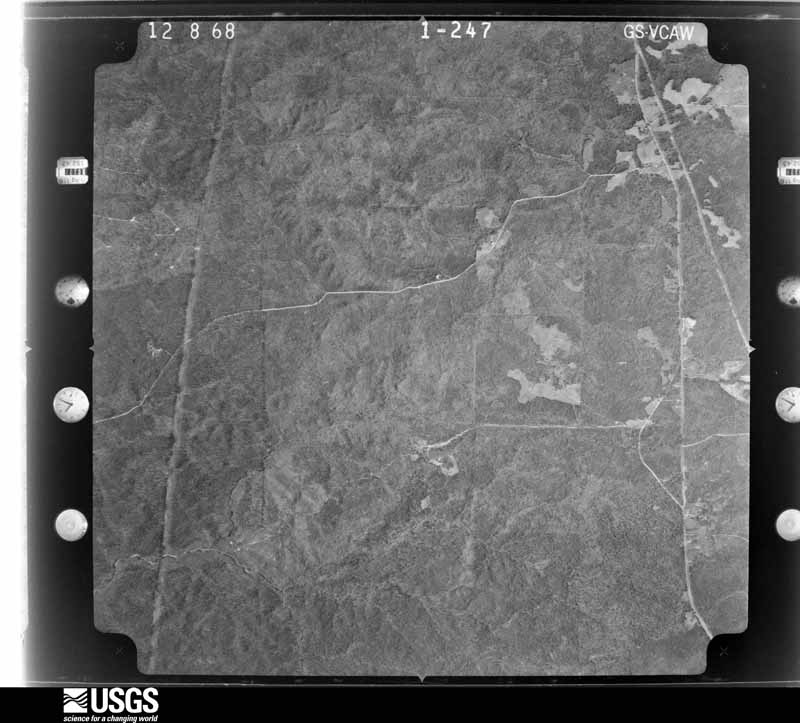
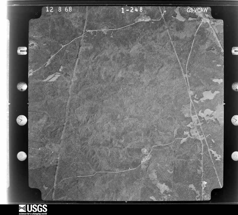
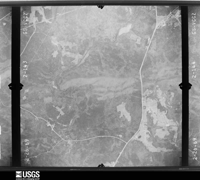
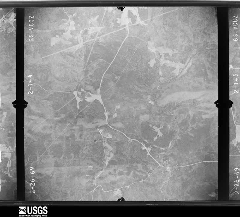
Flown by the U.S. Geological Survey between 1937 and 1989, the Aerial Photo Single Frames collection is the definitive mid-century view of the land: fields, roads and rivers as the camera saw them. The Survey holds 464 frames inside the rectangle that bounds this county; the 20 frames below were taken over the county itself, chosen across the decades of flights (at most four a year from that rectangle), so one flight cannot crowd out the rest. The full set is free to browse and download at EarthExplorer under the dataset Aerial Photo Single Frames.




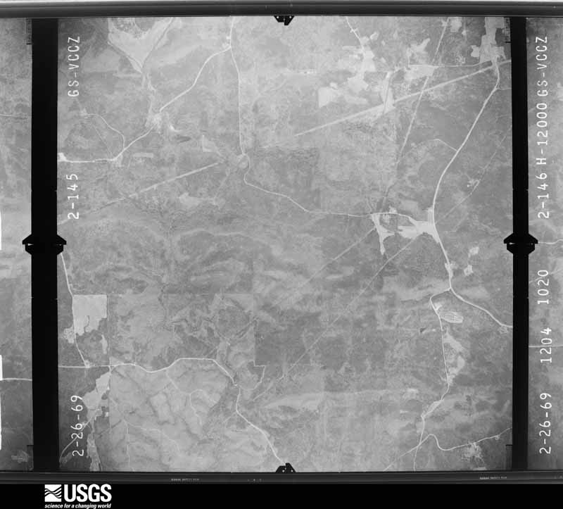
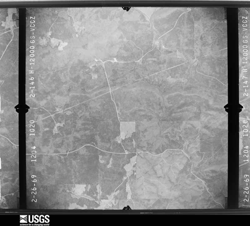




The thermometers that kept this county's weather, and the gages that measured the flow of its streams, as the federal records hold them. The extremes below are measured values from those records, not estimates.
Who lived here in 1950, one enumeration district at a time, as the Census Bureau described each district. Each row opens its official National Archives result, with Population Schedules and ED Maps available there.
Every wildfire the federal occurrence database records inside this county: 955 of them, burning about 3,944 acres. 38 started naturally and 183 were recorded as arson. Each settlement page carries the fires within five miles of it.
| Reported cause | Fires |
|---|---|
| Debris and open burning | 560 |
| Arson/incendiarism | 183 |
| Equipment and vehicle use | 47 |
| Natural | 38 |
| Missing data/not specified/undetermined | 35 |
| Smoking | 34 |
| Misuse of fire by a minor | 28 |
| Recreation and ceremony | 27 |
| Railroad operations and maintenance | 3 |
The five largest, by the area the report gives. Five of them were set deliberately.
| Date | Cause | Size | Reported by | Name on the report |
|---|---|---|---|---|
| 20 March 2007 | Debris and open burning | 150 acres | Georgia Forestry Commission | not named |
| 25 June 1998 | Arson/incendiarism | 76 acres | Georgia Forestry Commission | not named |
| 23 February 2009 | Debris and open burning | 74 acres | Georgia Forestry Commission | not named |
| 11 March 2004 | Debris and open burning | 73 acres | Georgia Forestry Commission | not named |
| 12 March 1999 | Arson/incendiarism | 71 acres | Georgia Forestry Commission | not named |
| 25 October 2000 | Arson/incendiarism | 66 acres | Georgia Forestry Commission | FY2001-HARRIS-017 |
| 7 September 2010 | Arson/incendiarism | 65 acres | Georgia Forestry Commission | FY2011-HARRIS-004 |
| 12 July 1995 | Arson/incendiarism | 49 acres | Georgia Forestry Commission | not named |
Every settlement page carries the fires within five miles of it - see the settlement index below.
The NOAA Storm Events Database holds 287 reports for this county, causing 1 death, 9 injuries and about $16,054,150 in recorded property damage. Each settlement page carries the reports that name it.
| Kind of event | Reports |
|---|---|
| Thunderstorm Wind | 173 |
| Hail | 66 |
| Tornado | 26 |
| Lightning | 10 |
| Flash Flood | 10 |
| Flood | 2 |
The most serious of them, by death, then injury, then recorded damage. The accounts are quoted exactly as the forecast office filed them.
| When | Event | Place named | Harm | What the report says |
|---|---|---|---|---|
| March 2001 | Flash Flood | Ellerslie | 1 killed | The Harris county 911 center reported that thunderstorms dumped very heavy rainfall across the county. Rainfall amounts of 2 to 4 inches in a 6 hour period were common across much of the county. Around 10 pm EST a 19-year old male and an additional occupant tried to cross swollen Randall Creek near Georgia Highway 315 approximately 3 miles southeast of Ellerslie. The vehicle became stranded in the rising flood waters and the 19-year old male driver was overcome by the rising flood waters. The passenger was able to escape. |
| November 2011 | Tornado (EF2) | Bartletts Ferry Lake | 2 hurt, $5,000,000 | A damage survey conducted by the National Weather Service Forecast Office in Peachtree City, Georgia confirmed that an EF2 tornado caused extensive damage across Harris county. The tornado first touched down as an EF1 in Macon county, Alabama before moving east into Lee county, Alabama and then into Harris county, Georgia. The tornado had already caused considerable damage to the town of Auburn, Alabama as an EF1 before it continued into Harris county, Georgia. As the tornado approached the county seat of Hamilton, it strengthened to an EF2. The tornado entered Harris county from Alabama at the north end of Lake Harding and tracked across the central part of the county, then moved into extreme northwest Talbot county before lifting, approximately two miles east-northeast of the town of Shiloh on the Harris/Talbot county line. The tornado had already carved out a path over 33 miles in length across eastern Alabama before it moved into Georgia. Within Harris county, the tornado path length was approximately 26 miles. The maximum path width was determined to be 1/2 mile with maximum winds of 125 mph. The tornado caused considerable damage across Harris county, especially around the county seat of Hamilton. Two homes were completely destroyed, with 68 other structures suffering minor to moderate damage, including 22 county buildings. County buildings damaged included the Harris County School Complex, the Harris County 911 Center, the Harris County Animal Shelter, and the agricultural center. One of the structures heavily damaged was a mobile home, where a man and his wife sustained minor injuries. Hundreds of trees were snapped or uprooted along the path of the tornado.||[11/16/11: Tornado #1, County #1-2, EF2, Harris-Talbot, 2011:026]. |
| June 1978 | Tornado (F1) | not stated | 2 hurt, $25,000 | no account filed |
| December 1954 | Tornado (F3) | not stated | 1 hurt, $250,000 | no account filed |
| March 1970 | Tornado (F2) | not stated | 1 hurt, $25,000 | no account filed |
| April 1970 | Tornado (F2) | not stated | 1 hurt, $25,000 | no account filed |
| January 1953 | Tornado (F1) | not stated | 1 hurt, $25,000 | no account filed |
| February 2009 | Lightning | Pine Mtn | 1 hurt | The Harris County 911 Center reported that a woman was struck by lightning and injured. No further information was provided. |
| April 1980 | Tornado (F1) | not stated | $2,500,000 | no account filed |
| April 2011 | Tornado (EF2) | Hog Gap | $2,000,000 | A damage survey conducted by the National Weather Service Forecast Office in Peachtree City, Georgia confirmed that the tenth tornado of the April 27, 2011 outbreak in the Peachtree City, Georgia county warning area touched down in northeast Harris county in west central Georgia. This tornado, an EF2, touched down two miles northwest of Pine Mountain Valley and tracked a total of 24 miles across northeast Harris, southern Meriwether, and into northern Upson county before lifting about nine miles northwest of Thomaston. The tornado tracked a little over 7.5 miles with northeast Harris county. The tornado had a maximum path width of 3/4 mile in Harris county, decreasing to 1/2 mile in Meriwether and Upson counties. Maximum winds were estimated to be 130 mph. Significant damage was observed along most of the tornado path with numerous homes and barns destroyed. However, the most significant damage was located within the Franklin D. Roosevelt State Park in northeast Harris county. Up to 40 percent of the structures located within the campground of the park sustained moderate to major damage, including a large assembly structure. Thousands of trees were down, especially within the park. The extent of the tree damage limited access to many of the damaged areas. Fortunately, there were no injuries or fatalities reported with the tornado in Harris county.||Total damages within Harris county consisted of two structures with major damage and 13 with minor damage.||[04/27-04/28/11: Tornado #10, County #1-3, EF2, Harris-Meriwether-Upson, 2011:019]. |
| May 2003 | Flash Flood | Countywide | $1,500,000 | The Georgia Emergency Management Agency reported that excessive rain resulted in excessive, historical flooding across the entire county. A number of roads and bridges were flooded and washed out and approximately 100 homes in the county sustained significant damage because of flooding. Around 200 residents of the Lake Harding area had to be evacuated from the area because of the flooding. |
| April 2011 | Hail | Mountain Hill | $1,050,000 | The public and amateur radio operators observed quarter, golf ball, and baseball-sized hail across the county from Mountain Hill to northeast of Pine Mountain Valley. The largest hail, golf ball to baseball-sized was observed near and just east of Hamilton, decreasing to east of Pine-Mountain Valley. |
| March 2019 | Tornado (EF2) | Fortson | $500,000 | A National Weather Service survey found an EF2 tornado moved out of Muscogee County into Harris County just north of Gray Rock Road west of Heiferhorn Creek, snapping hundreds of trees. The Tornado moved east northeast up Rip Shin Road to Highway 315 as it entered Ellerslie downing hundreds more trees. Minor roof damage was noted at several homes with shingles pulled off. One home had a portion of the attic and top floor removed. Further east northeast along highway 315 and Mount Airy Road, there were hundreds of softwood trees blown down, as well as a home with significant damage to the top floor. Several homes had missing shingles and a carport was destroyed. The tornado then continued across Ridgeway Road, just north of |Highway 315, where several dozen softwood trees were snapped near their bases. The short distance from Ridgeway Road to the Talbot County line saw numerous additional trees blown down along and north of Highway 315. No injuries were reported along the Harris County portion of the tornado path. [03/03/19: Tornado #2, County #2/3, EF2, Harris, 2019:007]. |
| April 2006 | Hail | Pine Mtn | $350,000 | Numerous reports of hail were received from the eastern portions of Harris county. Penny-sized hail was reported in the Pine Mountain area by the county 911 center and a former National Weather Service employee. Golf ball to tennis ball-sized hail was reported from Waverly Hall to south of Waverly Hall near the Muscogee county line. Damage was reported to roofs and trees were stripped of leaves in the area. |
| March 2011 | Hail | Whitesville | $267,000 | The Harris County Sheriff's Department, amateur radio operators, and the public observed quarter to golf ball-sized hail across northern Harris county from just east of Whitesville-Pine Lake, to Pine Mountain Valley, to Shiloh. |
| June 2008 | Lightning | Shiloh | $250,000 | The Harris County Journal reported that lightning struck a large single-story wood frame home at the corner of Second Street and First Avenue. The house was completely destroyed from the resulting fire. |
| April 1988 | Tornado (F1) | not stated | $250,000 | no account filed |
| April 1984 | Tornado (F1) | not stated | $250,000 | no account filed |
| March 2019 | Tornado (EF1) | Smiths Xrds | $150,000 | A National Weather Service survey found that an EF1 tornado with maximum wind speeds of 100 mph and a maximum path width of 900 yards occurred in Harris County. The tornado touched down just west of the intersection of Hopewell Church Road and Hamilton Pleasant Grove Road. The tornado traveled east northeast along Hopewell Church Road and then Highway 18 where it intensified, downing hundreds of trees, several falling on homes. As the tornado approached the city of Pine Mountain it reached its maximum intensity of 100 mph and moved across the south side of the city. A large tree fell onto an apartment on S. King Avenue destroying one of the rooms on the second floor. The tornado weakened as it continued east before lifting just west of the intersection of Davis Lake Road and Cold Springs Road. No injuries were reported. [03/03/19: Tornado #9, County #1/1, EF1, Harris, 2019:014]. |
| February 2017 | Tornado (EF1) | Fortson | $150,000 | A National Weather Service survey team determined that an EF-1 tornado with maximum wind speeds of 95 MPH and a maximum path width of 250 yards travelled for just under 2.5 miles along U.S Highway 27 in southern Harris County between the communities of Fortson and Cataula. The tornado began on West Bonacre Road just west of Highway 27, where a few small trees were snapped, and moved northeast, intensifying as it crossed Highway 27 north of Raymond Road where numerous trees were snapped or uprooted and several power lines and poles were brought down. The most significant damage was observed just northeast of this location along Gatlin Road where an estimated 50-100 large trees were snapped or uprooted. One large tree fell on a home at this location causing significant damage, however no injuries were reported. Continuing northeast, additional damage was observed between Knowles Road and Wells Drive where a grove of trees was snapped or uprooted on the east side of Highway 27. The tornado ended just northeast of the intersection of Wells Drive and Highway 27. [02/07/17: Tornado #1, County #1/1, EF1, Harris, 2017:029]. |
| December 2015 | Flash Flood | Rehobeth | $135,000 | The Georgia Department of Transportation reported a large culvert washed out underneath a portion of U.S. Highway 27 or Georgia Highway 1 around 3 miles southwest of Cataula. |
| May 2006 | Lightning | Waverly Hall | $125,000 | A former National Weather Service employee reported that lightning struck a house and set it on fire. The home burned to the ground and was a complete loss. |
| May 2015 | Thunderstorm Wind | Fortson | $100,000 | Starting along Almond Road near the Harris/Muscogee county line, a burst of thunderstorm winds resulted in several medium-sized pine trees snapped or uprooted. The pocket of intense damaging winds accelerated northeast, snapping or uprooting additional medium to large-sized trees in a concentrated area between Shenandoah Drive and Jones Road. Some structural damage was seen in this area. A large camper was flipped on its side and a portion of a plywood/sheet-metal roof was torn off a home. All the debris/damage was blown mainly in the direction of the storms (southwest to northeast). Additional trees were blown down along the Grey Smoke Loop, just west of Highway 27, southwest of the town of Cataula. |
| June 2008 | Lightning | Pine Mtn | $100,000 | The Harris County 911 Center reported that five brush fires and one structural fire were started from lightning strikes. No specific damage amount was provided. |
| June 1998 | Thunderstorm Wind | Whitesville | $100,000 | Harris county 911 reported 2 houses were destroyed, and many trees and power lines were blown down. A report from the public estimated the winds up to 60 mph. |
| April 2019 | Tornado (EF0) | Ridgeway | $75,000 | A National Weather Service survey determined that an EF0 tornado with maximum wind speeds 80 mph and a maximum path width of 100 yards moved out of extreme northern Muscogee County into southeast Harris County. The tornado moved across McKee Road and Boyd Court snapping several trees before continuing northeast into an uninhabited area along Randall Creek and Boyd Branch. Further northeast, the tornado crossed Ridgeway Road where it hit a hunting camp, rolling two small camper-trailers. The tornado continued northeast, crossing into Talbot County just south of Highway 315. No injuries were reported. [04/14/19: Tornado #2, County #2/3, EF-0, Harris, 2019:022]. |
| January 2017 | Tornado (EF1) | Fortson | $75,000 | A National Weather Service survey team determined that an EF1 tornado with maximum winds of 100 MPH and a maximum path width of 400 yards occurred in southern Harris County. The damage began just northwest of Fortson where several homes between Daniel Drive and Gail Drive sustained significant roof damage. The tornado moved northeast where numerous trees were snapped or uprooted along West Bonacre Road and Grey Smoke Trail. Around Grey Smoke Loop several homes had roof damage and large trees were uprooted. As the tornado approached the town of Cataula more large trees were snapped or uprooted. The tornado then continued moving northeast across mainly wooded areas before ending around State Highway 208 west of Waverly Hall in the Turntime Crossroads area. [01/21/17: Tornado #2, County #1/1, EF1, Harris, 2017:003]. |
| October 2011 | Thunderstorm Wind | Mountain Hill | $50,000 | The Harris County 911 Center reported that over a dozen trees and several power lines were down across the southern one-half of the county, roughly from Mountain Hill to just Waverly Hall and southward. Two homes sustained minor to moderate damage from downed trees. Trees were down along Georgia Highways 219 and 103 south of Hamilton. Several other local or county roads were blocked by downed trees. |
| April 2006 | Hail | Whitesville | $50,000 | The severe thunderstorm that brought golf ball-size hail to extreme southwest Troup county and West Point also brought golf ball-sized hail to extreme northwest Harris county. The public reported golf ball-sized hail in the extreme northwest corner of the county. |
| March 2005 | Flash Flood | Countywide | $50,000 | The Harris County Emergency Management Director reported that many roads throughout the county were flooded with water up to a foot deep flowing over many of the roads. Consequently, several roads had to be closed throughout the day. |
| May 1999 | Lightning | Fortson | $50,000 | A newspaper reported fire due to lightning destroyed a house in the Fortson community. |
| March 2019 | Thunderstorm Wind | Hamilton | $25,000 | An amateur radio operator reported trees blown down from Highway 1 south of Hamilton to Highway 85 southwest of Waverly Hall. |
| June 2018 | Lightning | Ellerslie | $25,000 | The Harris County Emergency Manager reported a house fire caused by a lightning strike at a home on Madison Way in Ellerslie. The lightning strike ignited a rapidly spreading attic fire. The fire was confined to the attic, however the home received significant water damage. No injuries were reported. |
| April 2011 | Thunderstorm Wind | Waverly Hall | $25,000 | The Harris County 911 Center reported that a tree was blown down onto a home in Waverly Hall. An exterior wall of the home suffered significant damage as a result. |
| August 2007 | Lightning | Hamilton | $25,000 | The Columbus Ledger-Inquirer reported that lightning struck near a school complex causing damage to the fire alarm systems and air conditioners at three schools, Carver Middle School, Harris County High School, and Mulberry Creek Elementary school. |
| July 2005 | Thunderstorm Wind | Hamilton | $25,000 | A former National Weather Service employee reported that many trees were blown down two miles east of Pine Mountain. A home in this area was also damaged by the downed trees. The Harris county 911 center reported that several trees were down between Hamilton and Pine Mountain. |
| September 1979 | Tornado (F1) | not stated | $25,000 | no account filed |
| May 1971 | Tornado (F1) | not stated | $25,000 | no account filed |
| February 2022 | Flash Flood | Hamilton | $20,000 | The Emergency Manager reported Mobley Road washed out at Little Branch. Radar estimates indicate that between 3 and 5 inches of rain occurred over the area, resulting in the flash flooding. |
| April 2020 | Tornado (EF0) | Turntime Crossroads | $20,000 | A National Weather Service survey found that an EF0 tornado with maximum wind speeds of 80 mph and a maximum path width of 50 yards touched down in eastern Harris County blowing down several trees in a mostly remote, wooded area. The tornado crossed Oak Mountain Road blowing down 3 trees which narrowly missed a home, then lifted. [04/12/20: Tornado #9, County #1/1, EF-0, Harris, 2020:015]. |
| May 2018 | Flash Flood | Rehobeth | $15,000 | Emergency Manager relayed damage to Highway 27 over Standing Boy Creek due to rising water from heavy rainfall. |
| April 2011 | Thunderstorm Wind | Whitesville | $15,000 | The Harris County 911 Center reported that nearly two dozen trees were down across the county. Most of the damage appeared to be concentrated in the West Point Lake and Cataula areas. In Cataula, the public reported minor damage to their home when three trees came down in their yard. One of the trees took out the electric line to the property. |
| April 2017 | Thunderstorm Wind | Hog Gap | $12,000 | The Harris County Emergency Manager reported trees and power lines blown down along Highway 27 north of Hamilton. Power was out in parts of Hamilton. |
| September 2018 | Thunderstorm Wind | Clines Crossroads | $10,000 | The Harris County Emergency Manager reported e few trees blown down from west of Hamilton, east through Hamilton and Cataula. One tree fell onto a truck on Highway 103 west of Hamilton, no injuries were reported. |
| December 2017 | Thunderstorm Wind | Ridgeway | $10,000 | A Columbus TV news reporter reported part of a chimney blown off of a house as well as a small utility trailer blown around and a couple of trees blown down near the intersection of McKee Road and County Line Road. |
| June 2015 | Thunderstorm Wind | Waverly Hall | $10,000 | The Harris County 911 Center reported numerous trees blown down, mostly in the Waverly Hall area. |
| March 2013 | Thunderstorm Wind | Clines Crossroads | $10,000 | The Harris County 911 Center reported numerous trees down throughout the county. |
| April 2011 | Thunderstorm Wind | Mountain Hill | $10,000 | The Harris County 911 Center reported widespread damage to trees and power lines across the county. At least a 100 trees were down across the county. The thunderstorm responsible for this damage tracked from just west-southwest of Mountain Hill to the northeast corner of the county, northeast of Pine Mountain Valley. There was a brief EF0 tornado embedded within this that touched down approximately five miles southeast of Hamilton. |
| July 2000 | Lightning | Hamilton | $10,000 | The Harris County Journal reported that two lightning strikes, both within a 30 minute time frame, caused considerable damage to the computer modems and the Motorola 911 system used for 911 center dispatching. An exact damage estimate was not available. |
| March 1996 | Tornado (F0) | Mulberry Grove | $10,000 | no account filed |
| July 2016 | Thunderstorm Wind | Mulberry Grove | $8,000 | The Harris County 911 center reported numerous trees blown down across the county. |
| July 2012 | Thunderstorm Wind | Hog Gap | $8,000 | The Harris County Emergency Manager reported that at least 30 trees were blown down west of Pine Mountain. |
| November 2018 | Thunderstorm Wind | Hog Gap | $7,000 | The Harris County 911 center reported several trees blown down across the northeast portion of the county from around Calloway Gardens to the F.D. Roosevelt State Park. |
| May 2011 | Thunderstorm Wind | Fortson | $7,000 | The Harris County 911 Center reported that several trees were down across the south central and southwest part of the county from the Harris/Muscogee county line, near Fortson to near Cataula. |
| June 2015 | Thunderstorm Wind | Hamilton | $6,000 | The Harris County Emergency Manager reported several trees blown down in Hamilton. |
| August 2007 | Thunderstorm Wind | Mulberry Grove | $6,000 | The Harris County 911 Center reported that several trees and a few power lines were down along Georgia Highway 315, especially between Mulberry Grove and Cataula. Several other trees were blown down near U.S. Highway 27 in the far southeast part of the county between Ellerslie and the Muscogee county line. Two dead trees were blown down on Georgia Highway 85 at Ellerslie. A couple of power lines were also down near Ellerslie. |
| May 2025 | Thunderstorm Wind | Hudson Mill | $5,000 | Broadcast media report of several down trees and homes missing siding along Lower Blue Springs Rd near Graddick Rd. |
| October 2014 | Tornado (EF1) | Shiloh | $5,000 | NWS Storm Survey team found a tornado touched down just southwest of Shiloh in Harris County and traveled northeast for almost 6 miles across northwest Talbot County and southern Meriwether County. A home on the south face of Pine Mountain off Skyline Drive southwest of Manchester lost part of its roof and a large shed was destroyed. A few other homes along the path had minor damage with approximately 100 trees snapped or uprooted. EF1 damage was indicated with maximum wind speeds estimated around 100 MPH and a path width of 200 yards. [10/14/14: Tornado #1, County #1-3, EF1, Harris-Talbot-Meriwether, 2014:011]. |
| March 2013 | Thunderstorm Wind | Whitesville | $5,000 | The Harris County 911 Center reported numerous trees down near Whitesville. |
| August 2011 | Thunderstorm Wind | Hamilton | $5,000 | A trained storm spotter observed several trees and power lines down between Hamilton and Waverly Hall. |
Named settlements recorded in the Geographic Names Information System, each with the topographic sheets covering it. Villages, hamlets and abandoned places alike. Each is shown with the nearest named watercourse or landform and the survey quadrangle it falls on.
Hamilton census division · 31808 · Bartletts Ferry Dam quadrangle
13 sheets, 1907 to 1981
No longer a settlement
Waverly Hall census division · 31804 · Mulberry Grove quadrangle
16 sheets, 1907 to 1981
No longer a settlement
Pine Mountain census division · 31822 · On Little Mountain Creek · Pine Mountain SW quadrangle
11 sheets, 1907 to 1981
Pine Mountain census division · 31822 · Pine Mountain quadrangle
10 sheets, 1907 to 1981
Hamilton census division · 31833 · Bartletts Ferry Dam quadrangle
13 sheets, 1907 to 1981
Pine Mountain census division · 31822 · Pine Mountain SW quadrangle
11 sheets, 1907 to 1981
No longer a settlement
Hamilton census division · 31811 · On Beaver Creek · Pine Mountain quadrangle
10 sheets, 1907 to 1981
Pine Mountain census division · 31822 · Pine Mountain SW quadrangle
11 sheets, 1907 to 1981
Waverly Hall census division · 31811 · On Palmetto Creek · Cataula quadrangle
15 sheets, 1907 to 1981
Hamilton census division · 31811 · Near German Mountain · Bartletts Ferry Dam quadrangle
13 sheets, 1907 to 1981
Pine Mountain census division · 31822 · Pine Mountain quadrangle
10 sheets, 1907 to 1981
Waverly Hall census division · 31808 · Mulberry Grove quadrangle
16 sheets, 1907 to 1981
Pine Mountain census division · 31811 · On House Creek · Whitesville quadrangle
14 sheets, 1907 to 1981
Pine Mountain census division · 31822 · Pine Mountain quadrangle
10 sheets, 1907 to 1981
Shiloh census division · 31811 · Pine Mountain quadrangle
10 sheets, 1907 to 1981
Hamilton census division · 31808 · Bartletts Ferry Dam quadrangle
13 sheets, 1907 to 1981
Pine Mountain census division · 31811 · On Little Creek · Whitesville quadrangle
14 sheets, 1907 to 1981
Pine Mountain census division · 31822 · Pine Mountain SW quadrangle
11 sheets, 1907 to 1981
Waverly Hall census division · 31831 · Cataula quadrangle
15 sheets, 1907 to 1981
Pine Mountain census division · 31833 · On Mountain Creek · Whitesville quadrangle
14 sheets, 1907 to 1981
Pine Mountain census division · 31822 · Pine Mountain SW quadrangle
11 sheets, 1907 to 1981
No longer a settlement
The vanished settlements of Harris County: the places named above that are no longer on the map.
The complete index, with nothing left out. Each of these is a separate record with its own page: a federal survey report, or the case file that argued a property on to the National Register. Both are public domain and reproduced word for word.
The vanished settlements of Harris County, the places these records name that are no longer on the map.