 Block
From the record
4 National Register listings published here.
Sources: the National Register database, National Park Service
32 topographic sheets and 2 fire insurance atlases across 1 place.
4 National Register listings published here.
Sources: the National Register database, National Park Service
Taken for the Office of War Information and the Farm Security Administration, who photographed the country between 1935 and 1944. Works of United States government photographers, with no known restriction on use. Each opens its catalogue record.
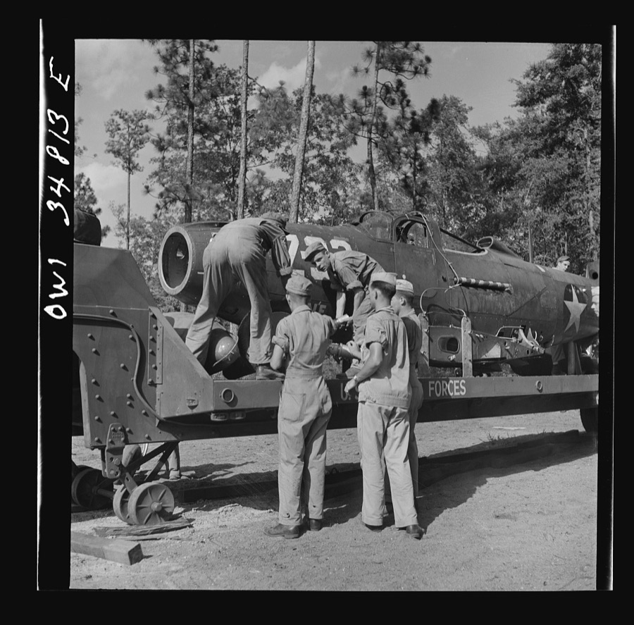
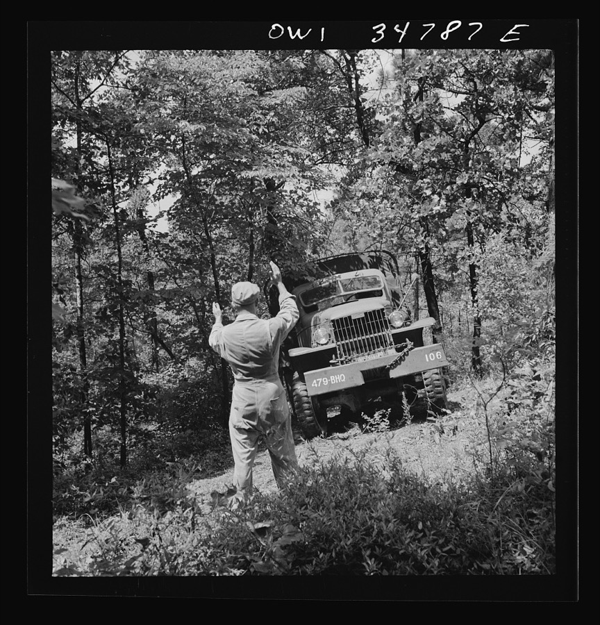
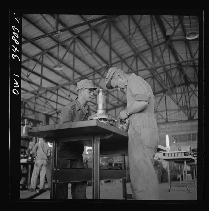
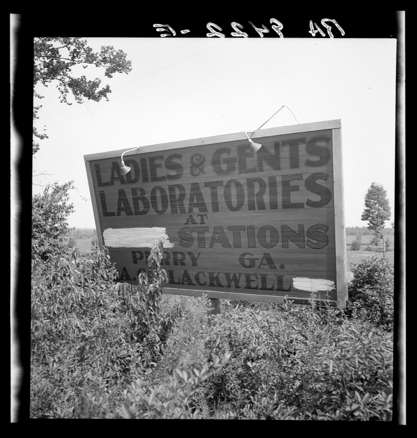
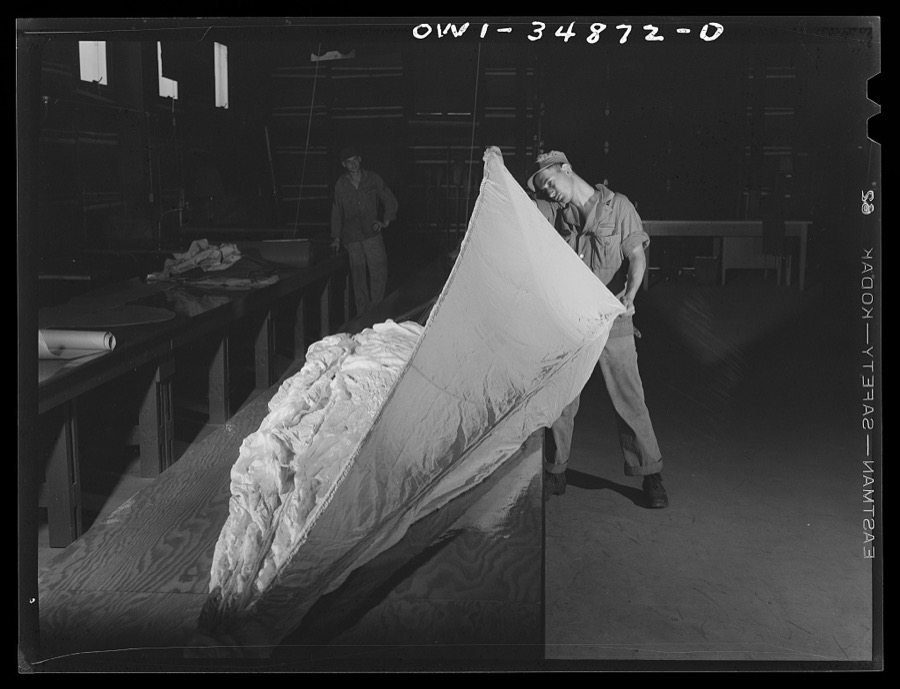
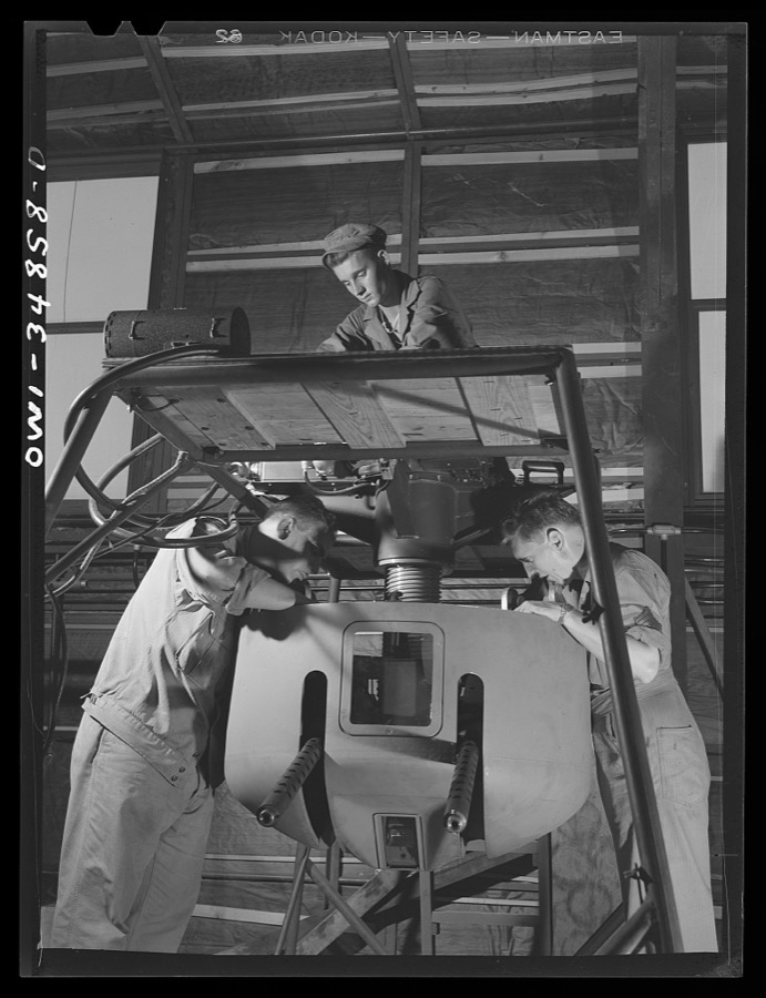
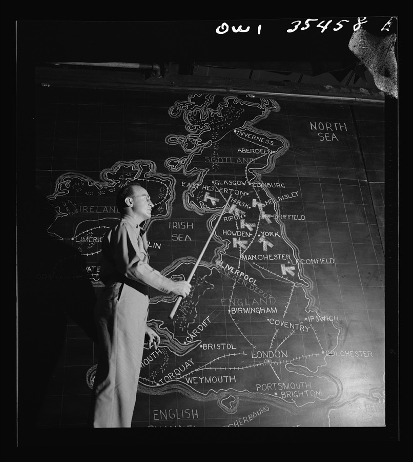
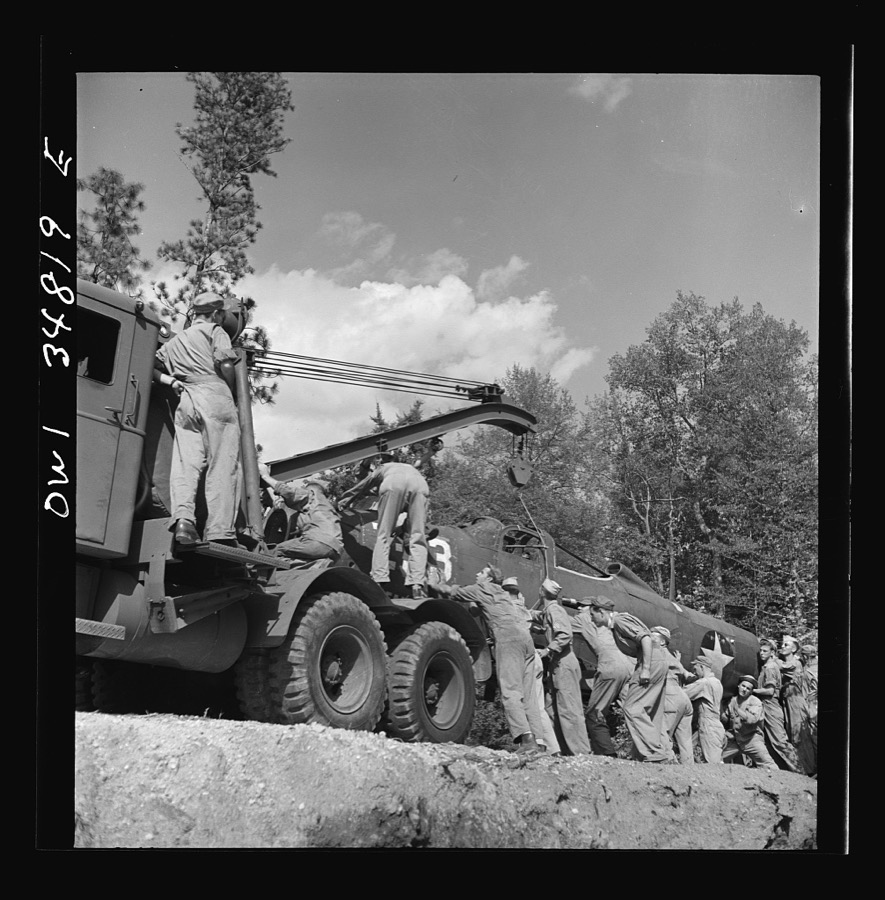
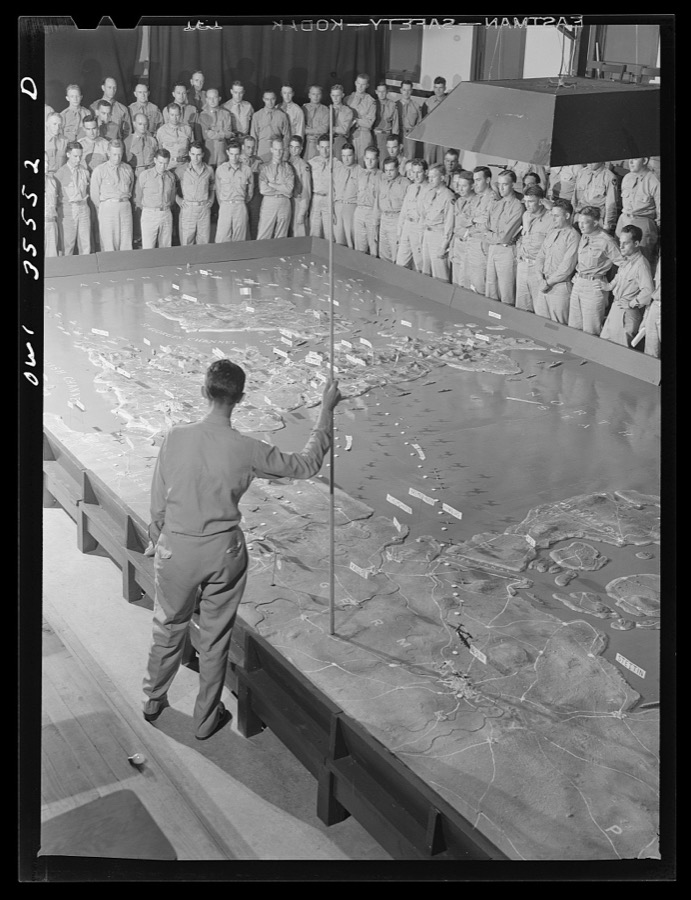
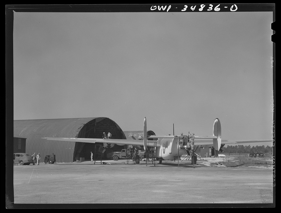

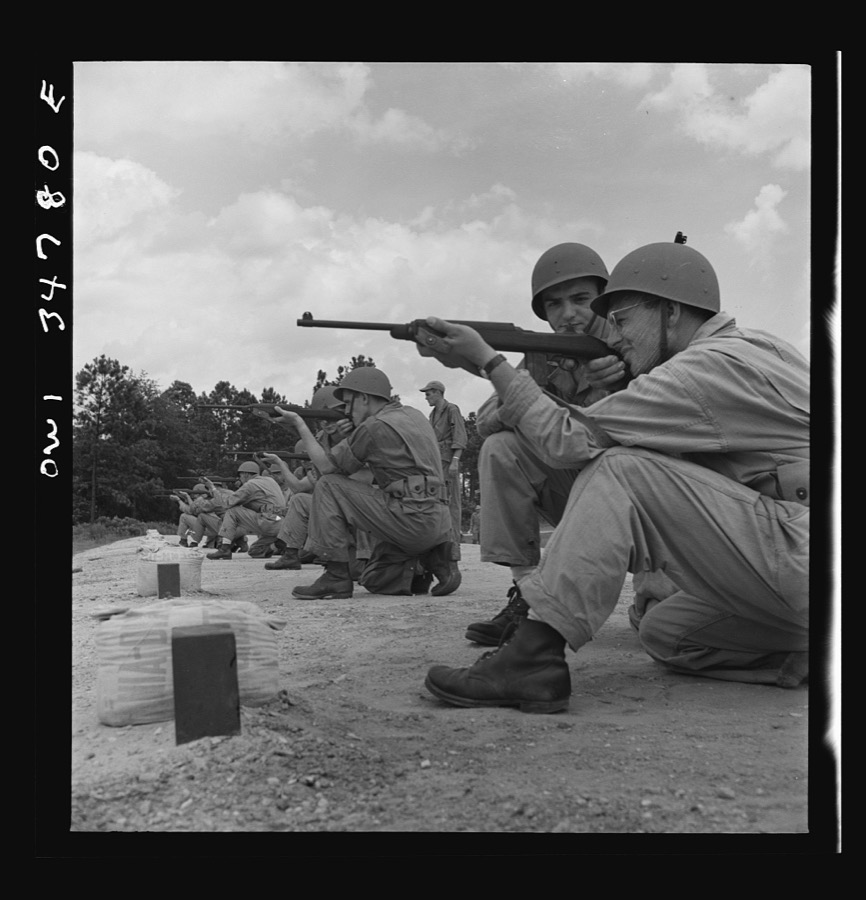

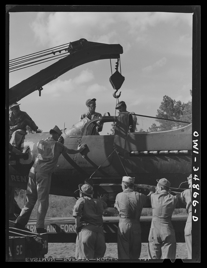
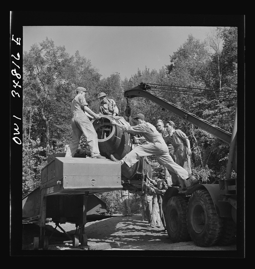
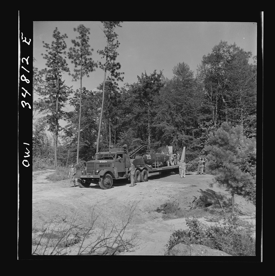

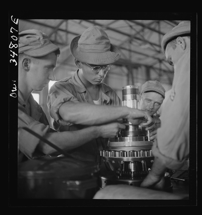

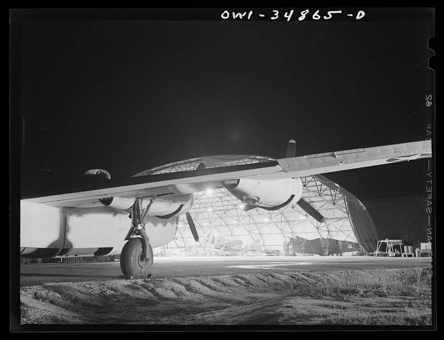


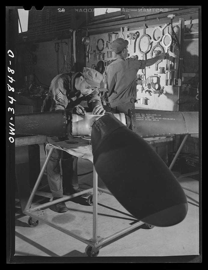

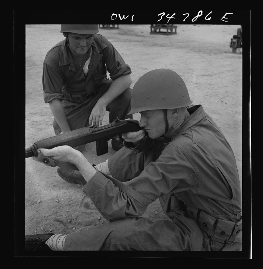
Every property in this county listed on the National Register of Historic Places, with the year it was listed and the federal nomination document.
| Photograph | Property | Type | Listed | Reference |
|---|---|---|---|---|
| Davis-Felton Plantation | district | 1979 | 79000731 | |
| Log Dogtrot House | building | 1991 | 91000681 | |
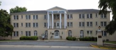 | New Perry Hotel | building | 2004 | 04000241 |
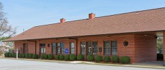 | Warner Robins Depot | building | 2008 | 07001336 |
Selected from the Digital Public Library of America's 5 image records catalogued for this county. Every one shown here carries a public-domain status or a licence that permits reuse on a site that carries advertising; non-commercial, share-alike and restricted images are excluded. The selection is spread across the county's towns (at most eight per town), so no single institution's bulk upload crowds out the rest. Each opens the holding library's record, and the complete set at the Digital Public Library of America is one click away.
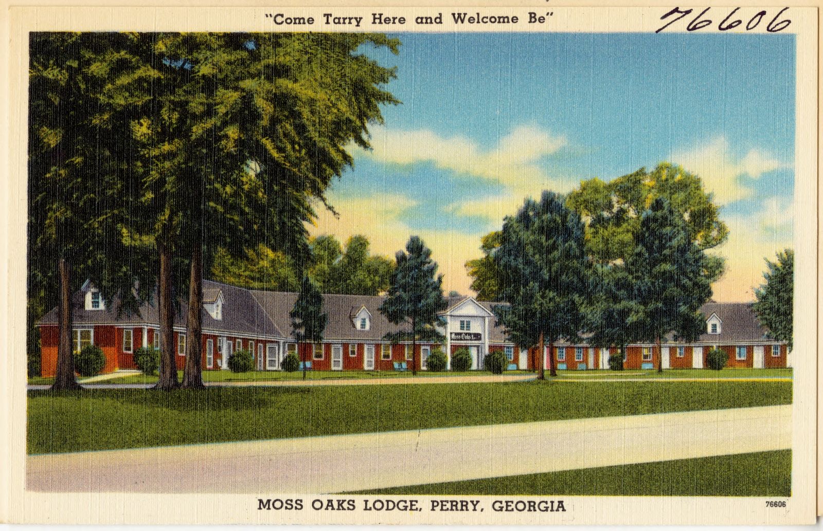
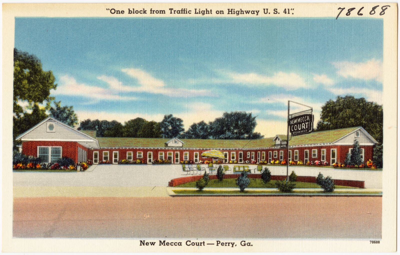
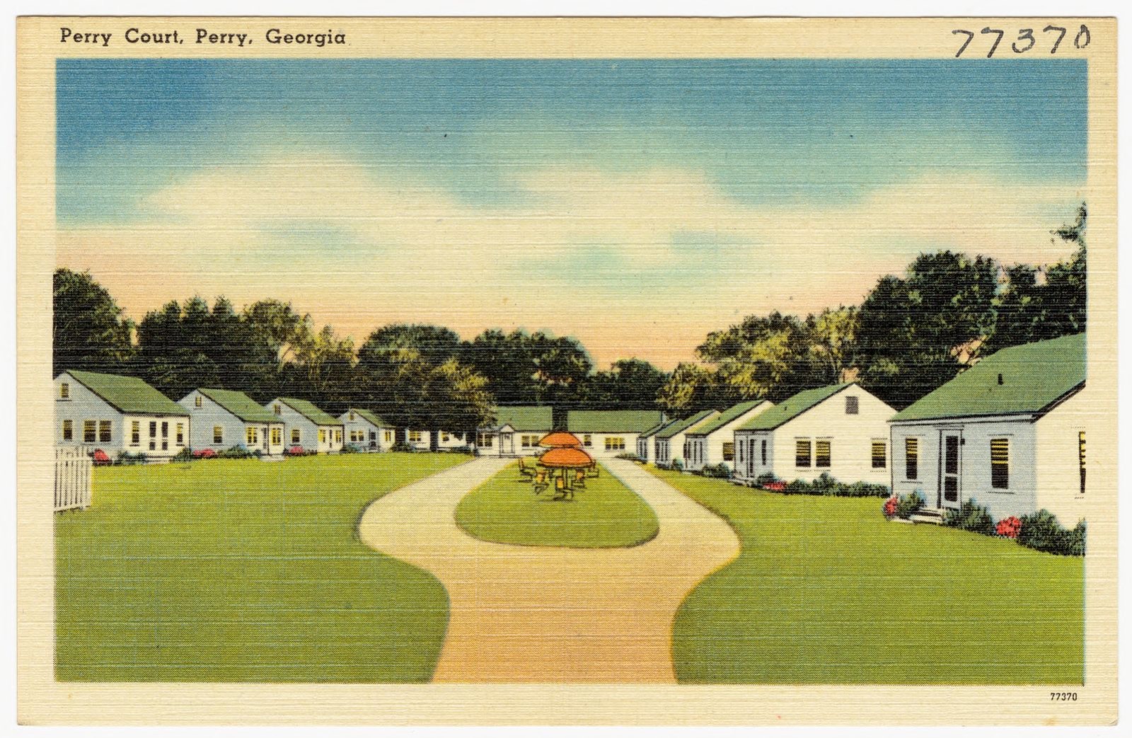
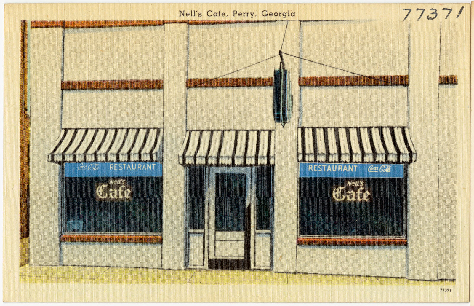

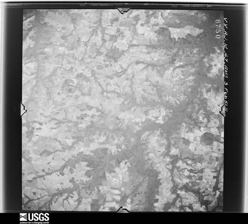
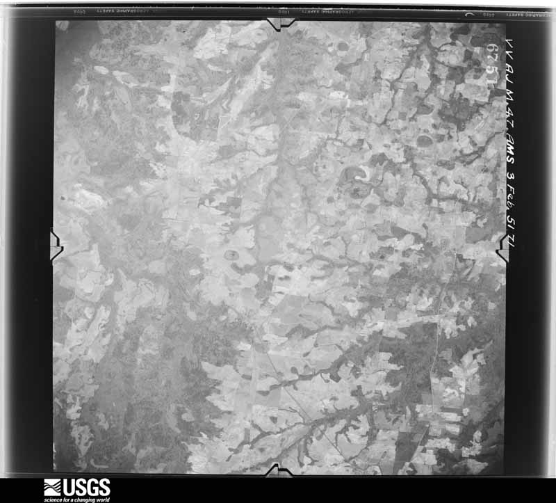
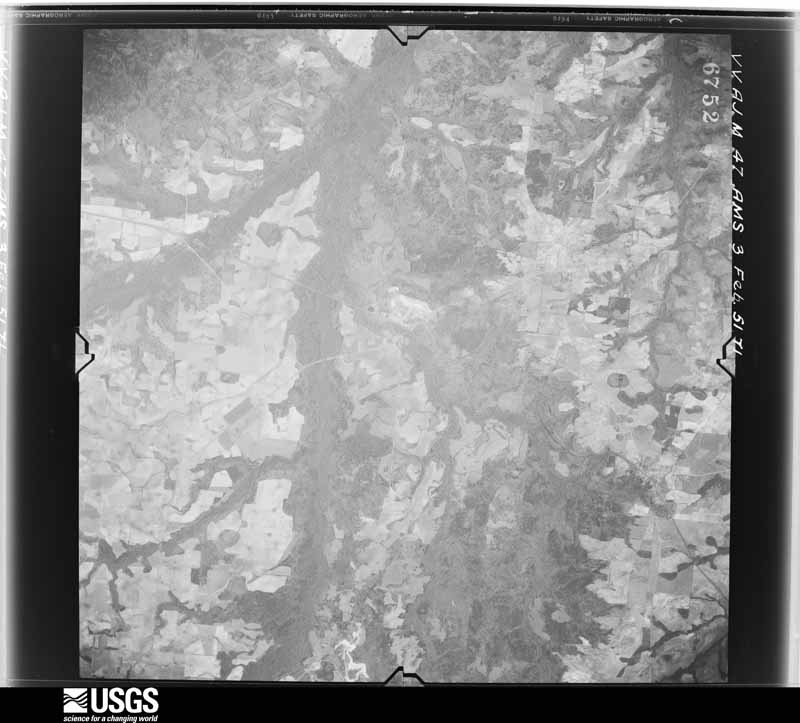
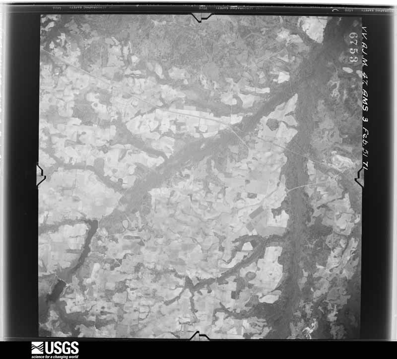
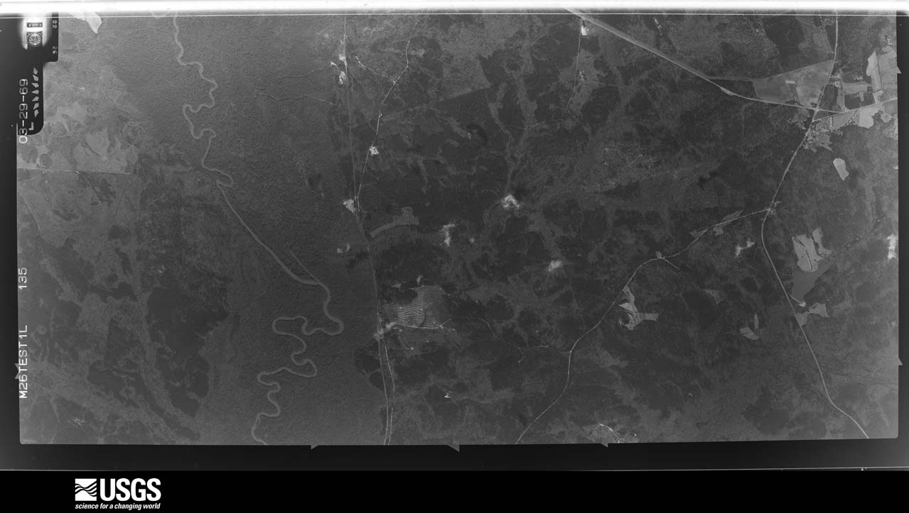
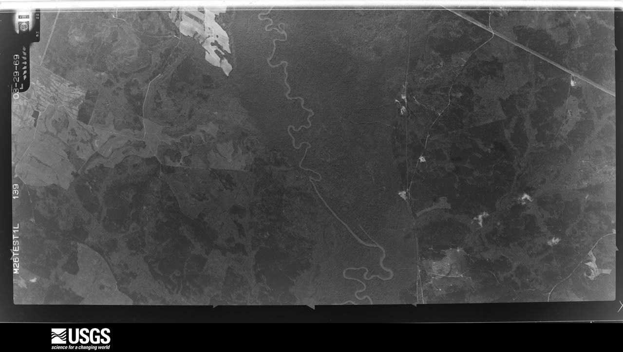
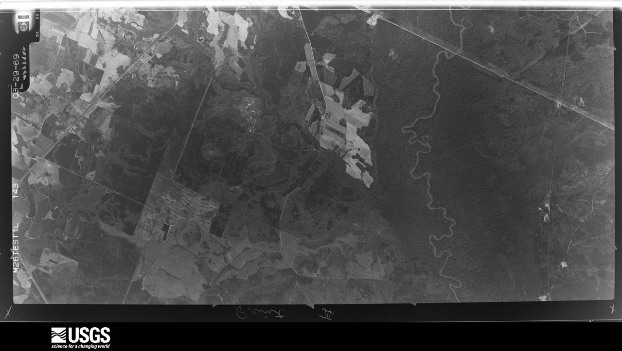
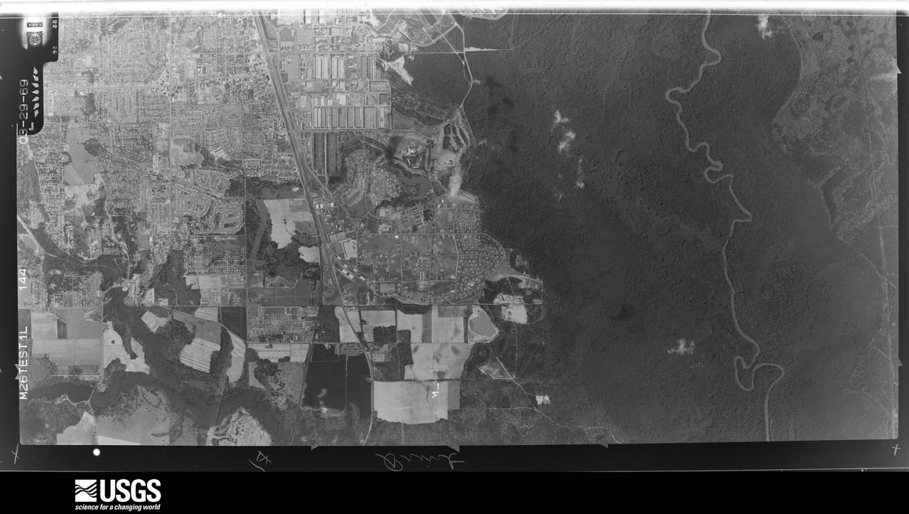
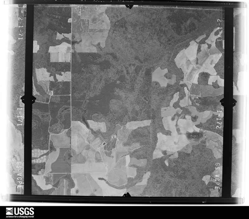
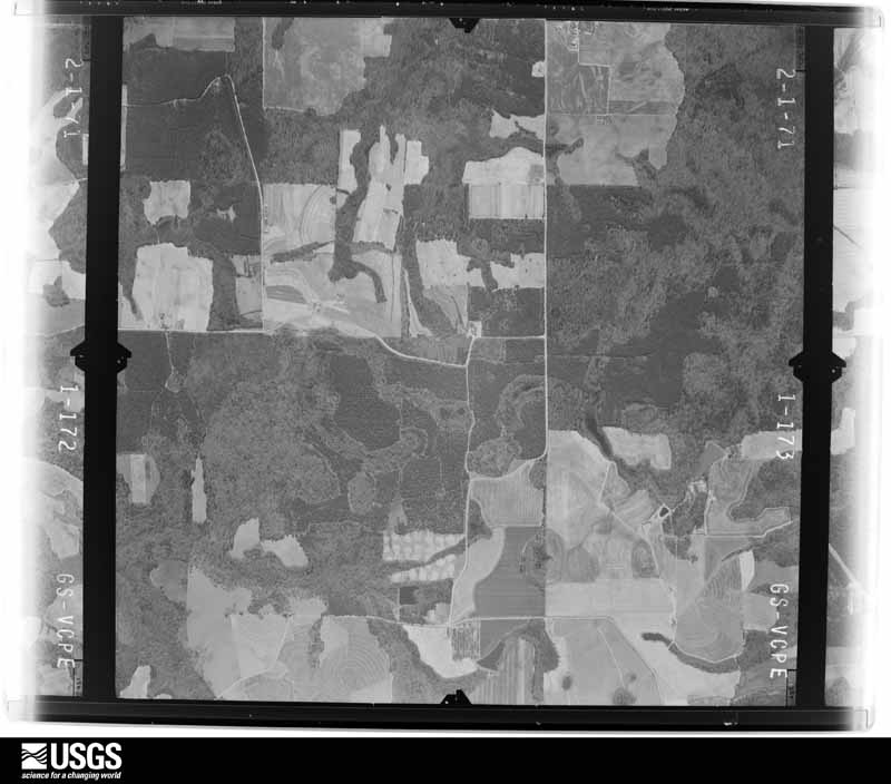
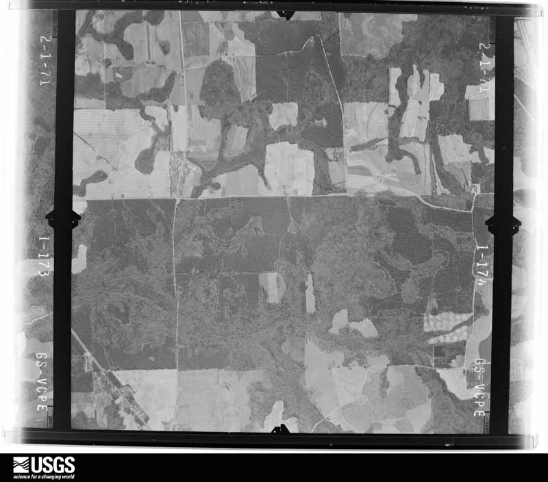
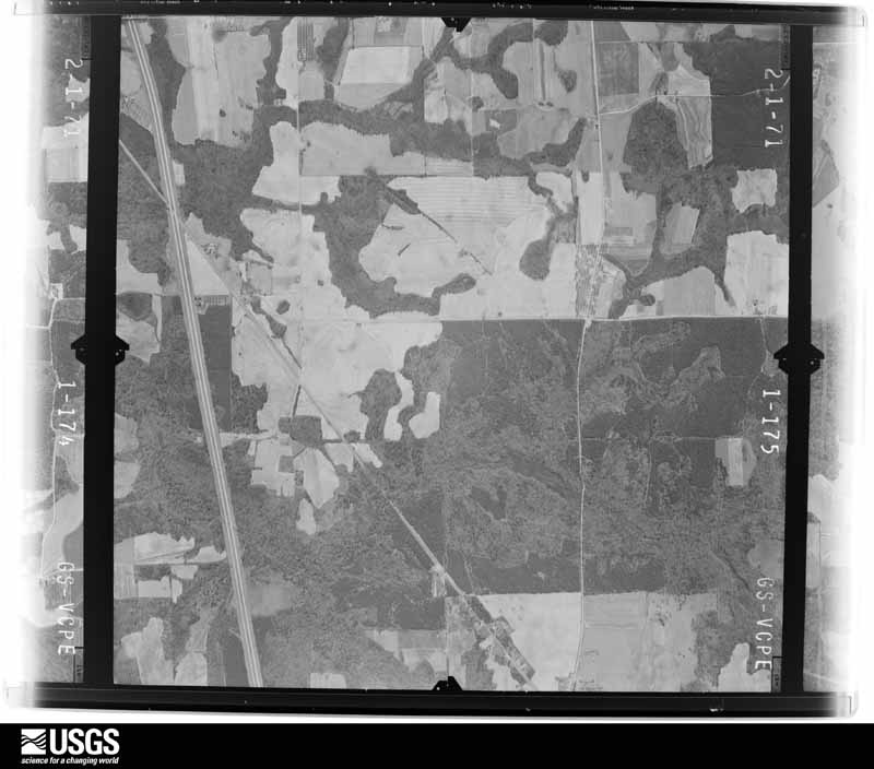
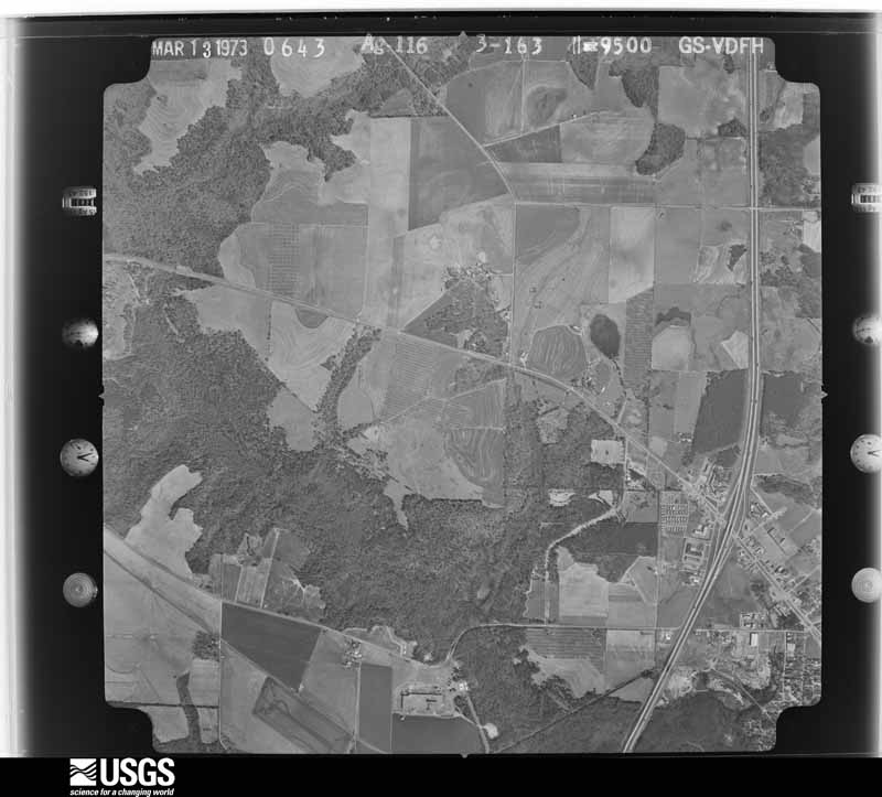
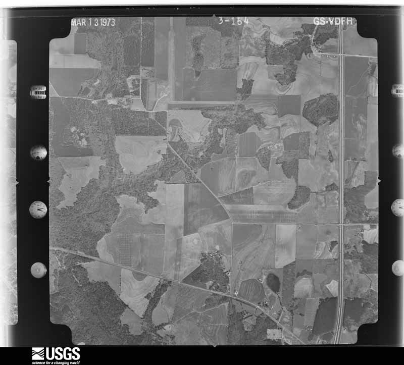
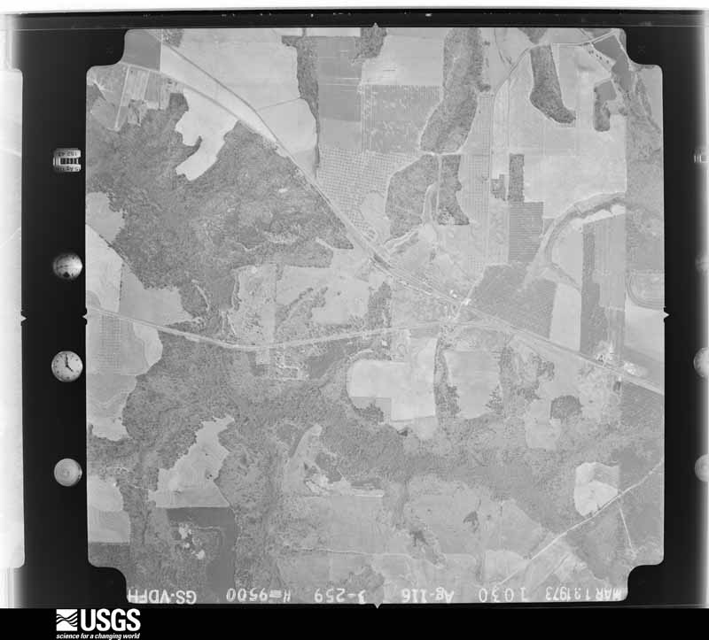
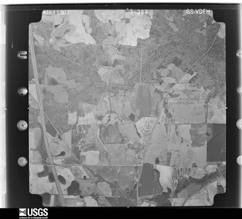
Flown by the U.S. Geological Survey between 1937 and 1989, the Aerial Photo Single Frames collection is the definitive mid-century view of the land: fields, roads and rivers as the camera saw them. The Survey holds 774 frames inside the rectangle that bounds this county; the 20 frames below were taken over the county itself, chosen across the decades of flights (at most four a year from that rectangle), so one flight cannot crowd out the rest. The full set is free to browse and download at EarthExplorer under the dataset Aerial Photo Single Frames.
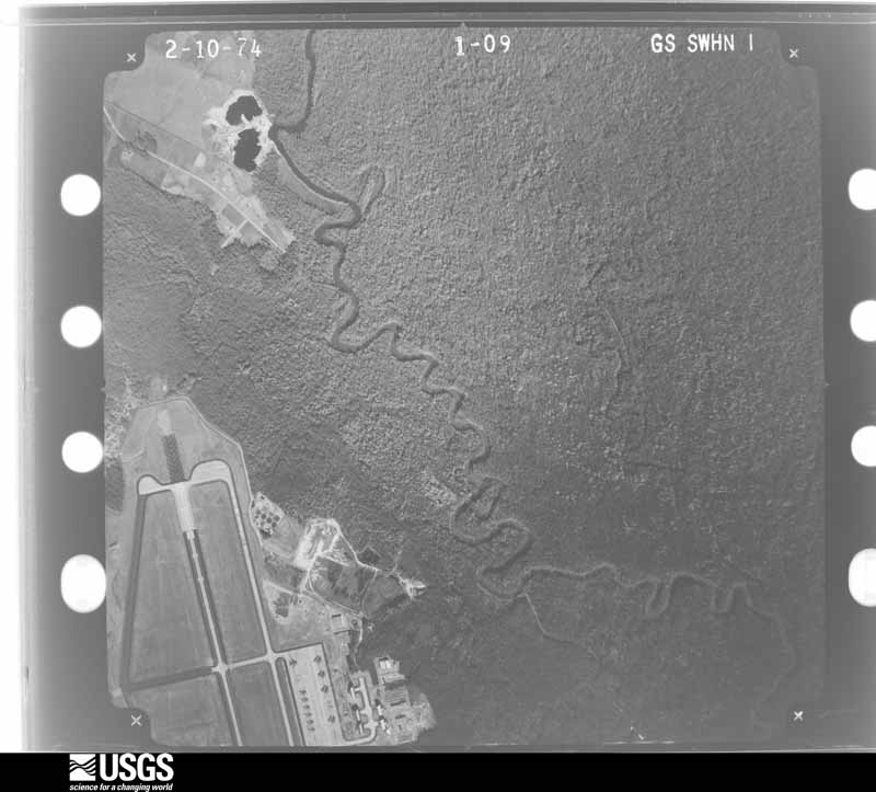
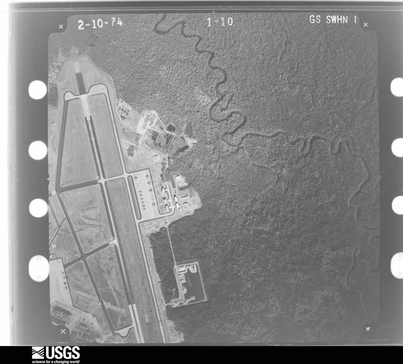
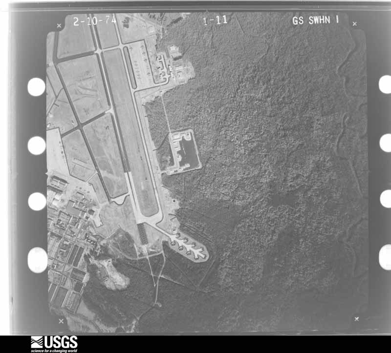
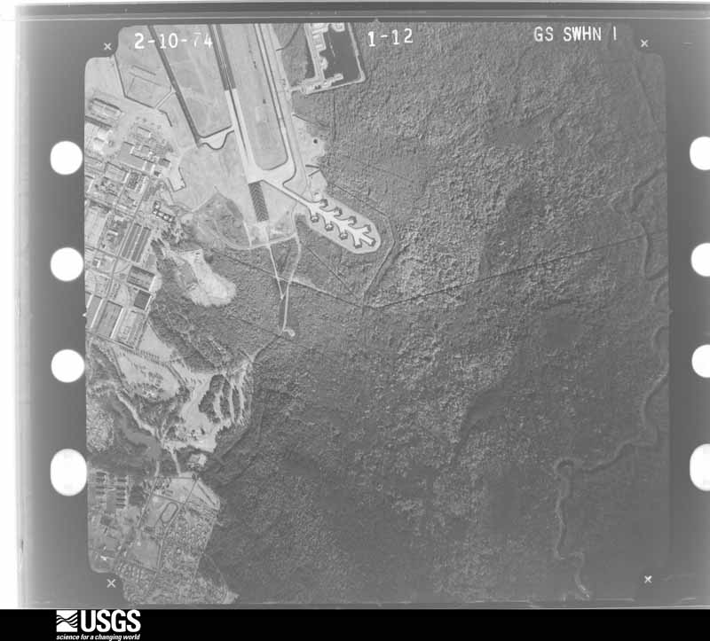
The thermometers that kept this county's weather, and the gages that measured the flow of its streams, as the federal records hold them. The extremes below are measured values from those records, not estimates.
Who lived here in 1950, one enumeration district at a time, as the Census Bureau described each district. Each row opens its official National Archives result, with Population Schedules and ED Maps available there.
Every wildfire the federal occurrence database records inside this county: 1,240 of them, burning about 4,121 acres. 48 started naturally and 158 were recorded as arson. Each settlement page carries the fires within five miles of it.
| Reported cause | Fires |
|---|---|
| Debris and open burning | 614 |
| Arson/incendiarism | 158 |
| Equipment and vehicle use | 144 |
| Misuse of fire by a minor | 136 |
| Smoking | 50 |
| Missing data/not specified/undetermined | 49 |
| Natural | 48 |
| Recreation and ceremony | 37 |
| Railroad operations and maintenance | 4 |
The five largest, by the area the report gives. Two of them were set deliberately.
| Date | Cause | Size | Reported by | Name on the report |
|---|---|---|---|---|
| 19 February 2002 | Debris and open burning | 137 acres | Georgia Forestry Commission | FY2002-HOUSTON-037 |
| 25 May 2011 | Missing data/not specified/undetermined | 118 acres | Georgia Forestry Commission | FY2011-HOUSTON-045 |
| 7 July 2019 | Natural | 70 acres | Georgia Forestry Commission | FY2020HOUSTON001 |
| 29 October 2012 | Debris and open burning | 66 acres | Georgia Forestry Commission | FY2013-HOUSTON-005 |
| 1 March 2004 | Debris and open burning | 49 acres | Georgia Forestry Commission | not named |
| 4 January 1992 | Arson/incendiarism | 48 acres | Georgia Forestry Commission | not named |
| 7 April 2006 | Debris and open burning | 48 acres | Georgia Forestry Commission | not named |
| 23 January 1993 | Arson/incendiarism | 46 acres | Georgia Forestry Commission | not named |
Every settlement page carries the fires within five miles of it - see the settlement index below.
The NOAA Storm Events Database holds 458 reports for this county, causing 20 deaths, 327 injuries and about $35,216,550 in recorded property damage. Each settlement page carries the reports that name it.
| Kind of event | Reports |
|---|---|
| Thunderstorm Wind | 299 |
| Hail | 91 |
| Tornado | 27 |
| Lightning | 18 |
| Flash Flood | 14 |
| Heavy Rain | 4 |
| Funnel Cloud | 3 |
| Flood | 2 |
The most serious of them, by death, then injury, then recorded damage. The accounts are quoted exactly as the forecast office filed them.
| When | Event | Place named | Harm | What the report says |
|---|---|---|---|---|
| April 1953 | Tornado (F4) | not stated | 18 killed, 300 hurt, $25,000,000 | no account filed |
| March 1954 | Tornado (F1) | not stated | 1 killed, 5 hurt, $25,000 | no account filed |
| May 2021 | Thunderstorm Wind | Perry | 1 killed, $100,000 | The Houston County Emergency Manager reported several trees blown down across the county from the northeast side of Perry to Warner Robins and Bonaire. One tree fell on a vehicle parked in a driveway near Perry and a tree fell onto a home in Bonaire killing a resident of the home. |
| September 2008 | Lightning | Bonaire | 12 hurt | The Macon Telegraph reported that 12 people, nine adults and three teenagers, were injured when lightning struck a goal post on the football field at Bonaire Middle School during a Thursday evening football game. The athletic director from the opposing school, Warner Robins, was left in critical condition and transferred to a burn center along with three of the other adults. |
| April 2022 | Tornado (EF3) | Bonaire | 3 hurt | A tornado rapidly intensified as it approached the Bonaire |community of northeast Houston County during the mid afternoon |hours of Tuesday, April 5th. As the tornado went across an open |field near the Old Hawkinsville Road and Cullen Road intersection,|two large high-tension transmission (power) towers were destroyed|and another large concrete power pole was snapped near its base. |Winds between 135 and 155 mph are a typical maximum wind-load |range for these electric towers/poles, supporting the rapidly |developing, now strong (EF2+) tornado. ||The tornado crossed the open field and did significant damage to |multiple homes. The first house had large sections of its roof and|second floor removed/torn away, along with numerous large trees |surrounding the property snapped near their bases. Not more than |150 yards away (to the northeast), two additional homes were hit |hard, with one completely destroyed. The damage around these areas|was consistent with EF2 to EF3 rating, with max winds approaching|160 MPH.||Less than 2 minutes later, the powerful tornado hit the south |side of Stathams Landing (neighborhood) where multiple homes had |minor to significant damage, particularly along Fairways Drive up |to Fifth Fairway. The worst of the damage in these locations |occurred at several homes along Fairways Drive were parts of the |roof and second story were destroyed, in addition to numerous |large trees snapped and uprooted around the properties. |Thankfully, the tornado appeared to have weakened slightly here, |but EF1 to low-end EF2 damage still was noted. Beyond Fifth |Fairway (street) is just open field/marsh area before Sandy Run |Creek and the county line. Little additional damage occurred here |and this drastic weakening of the tornado was supported by radar |as well. [4/5/22: Tornado #8, County #1/1, EF-3, Houston, 2022:011]. |
| March 1980 | Tornado (F1) | not stated | 2 hurt, $2,500,000 | no account filed |
| July 1966 | Tornado (F1) | not stated | 2 hurt, $25,000 | no account filed |
| April 2017 | Thunderstorm Wind | Henderson | 1 hurt, $45,000 | The Houston County Sheriff's Office and the 911 center reported numerous trees and power lines blown down across southern and central Houston County from west of Elko to northeast of Perry. A tree was blown over onto Highway 127 around Arena road resulting in a 3-car traffic accident and one minor injury. Power lines were blown down around the intersection of Highway 41 and Highway 26. Several trees were blown down onto I-75 between mile markers 131 and 133. A few trees were also blown down on Sewell Road and a large branch was blown off a tree on Frank Satterfield Road damaging a car. |
| January 1963 | Tornado (F2) | not stated | 1 hurt, $25,000 | no account filed |
| August 2000 | Lightning | (Wrb)Warner Robins A | 1 hurt | The Macon Telegraph reported that an employee at Robins Air Force Base was injured when struck by lightning while using the telephone in his house. He suffered a 30 minute total loss of hearing in his left ear along with slight burns on his neck and earlobe. |
| October 2010 | Hail | Perry | $650,000 | Several reports of quarter to golf ball-sized hail were received from the public and amateur radio operators across the central part of Houston county from about halfway between Perry and Warner Robins to Kalthleen and Bonaire. Hail was observed on both Georgia Highway 127 and Moody Road. There was also one report of nickel-sized hail from the city of Perry, which likely fell around 240 pm EDT. |
| July 2008 | Hail | Centerville | $600,000 | Several reports of large hail were received from the public across northern Houston county. Quarter to golf ball-sized hail fell near and just northeast through east of Centerville and penny to quarter-sized hail fell in the Warner Robins area. |
| March 2018 | Hail | Henderson | $500,000 | An employee at the Twin Oaks RV park reported golf ball size hail. |
| July 2012 | Lightning | Wrights Mill | $300,000 | Broadcast Media stations from Macon reported up to four structures on fire from lightning strikes. Several units at an apartment complex on Leisure Lake Drive were heavily damaged or destroyed, displacing 16 families. Before firefighters arrived, three Marines and an Army medic alerted and evacuated many of the residents, including an 87-year-old woman confined to her bed. No one was injured in the fire, thanks in part to the quick actions of the servicemen. |
| May 2009 | Thunderstorm Wind | Barrington | $300,000 | The Houston County 911 Center reported that an apparent downburst had resulted in several dozen downed trees, power lines, and structural damage in the Centerville area. Much of the damage was concentrated in the Sentry Oaks Neighborhood, where more than a dozen trees were down, some resulting in damage to homes. A portion of Interstate-75 had to be closed until downed trees blocking the lanes could be cleared. In addition, a business in Centerville, adjacent to the Galleria Mall, sustained moderate structural damage, including several blown out windows as well as damage to siding and awnings. A number of trees were also blown down further east near and east of Warner Robins toward the Twiggs county line. |
| January 2017 | Tornado (EF2) | Heard | $250,000 | A National Weather Service survey team found that the tornado that began in southeast Peach County and briefly crossed into a small portion of western Houston County before once again moving into a small portion of Peach County, moved back into Houston County along U.S Highway 41. The tornado intensified to an EF2 along this portion of its path with maximum wind speeds of 115 MPH. The tornado tracked east along Sandefur Road causing significant damage to trees and power lines with minor roof damage to homes south of Sandefur Road along Griswold Way. The tornado turned more northeasterly damaging a sports complex and a business along Cohen Walker Road. The tornado crossed Highway 96 near Peach Blossom Road and continued northeast through neighborhoods west of Bonanza Drive causing minor roof damage and downing trees and power lines as it continued across Faegan Mill Road and Moody Drive. At this point the tornado intensified to its strongest level. Brick fences were blown down and numerous trees were snapped or uprooted along Sandy Run Road and Echo Lane. The worst damage occurred near the WalMart and adjacent neighborhoods around Windmill Court. Two large HVAC units were tossed around 50 yards from the top of the WalMart. The auto bay garage doors on the back of the store were blown in and the roof lifted. Rafters on the opposite end of the store were twisted. Along Windmill Court and Hidden Creek Circle one house had most if its roof blown off and windows and doors blown in. Across the street, another home had a garage door and windows blown in and parts of its roof blown off. The tornado continued northeast and struck a mobile home park along Maxwell Drive and Sherry Lane where more than a dozen mobile homes were damaged. One mobile home was nearly completely destroyed. The tornado ended in this area. This tornado ultimately travelled over 13 miles across portions of Peach and Houston Counties. [01/21/17: Tornado #12, County #4/4, EF2, Peach-Houston-Peach-Houston, 2017:013]. |
| April 2016 | Tornado (EF1) | Centerville | $250,000 | A National Weather Service survey team found that a tornado touched down on the northeast side of Centerville snapping and uprooting trees along Sentry Oaks Drive. The tornado quickly strengthened as it moved east, briefly reaching EF-1 intensity with 90 MPH winds as it crossed Napier Avenue, Fisher Street and Carter Circle. Multiple large trees were snapped or uprooted in this area, several falling on homes. The tornado, weaker now, continued to move east causing sporadic damage in the form of snapped or uprooted trees in the area bounded by Watson Boulevard on the south and Green Street on the north, until crossing onto Robins AFB around the Green Street gate. Large pieces of a metal roof were stripped from a maintenance hangar just inside the western edge of the base. [04/01/16: Tornado #2, County #1-1, EF1, Houston, 2016:002]. |
| March 2005 | Flash Flood | Countywide | $250,000 | The public and the Houston Home Journal reported that extensive flooding in the Perry area of southern Houston county. Water was up to two feet deep around a number of homes in Warner Robbins and Perry and some homes had been flooded. One female had to be rescued from her property. Several cars were inundated and destroyed by the flooding. Ditches and creeks were out of their banks and flowing over the roadways. A portion of Park Avenue in Perry collapsed from the flooding. In addition, Clopine Lake Dam in southeast Peach county was breached and threatened portions of Perry in western Houston county. Residents of the area were evacuated, but no problems resulted in Houston county as a result of the dam failure. Rainfall of six to eight inches was common across much of the southern portion of Houston county in the 24-hour period from midnight on the 27th to midnight on the 28th. |
| July 2003 | Lightning | Warner Robins | $250,000 | The Macon Telegraph reported that lightning struck two homes and one business. Both of the homes suffered extensive damage, while just minor damage to a transformer was reported at the business. |
| May 1995 | Thunderstorm Wind | Warner Robins | $250,000 | Several trees were knocked down by thunderstorm winds in the above locations, several cars and mobile homes were damaged. |
| March 1980 | Tornado (F1) | not stated | $250,000 | no account filed |
| April 1959 | Tornado (F1) | not stated | $250,000 | no account filed |
| July 2007 | Thunderstorm Wind | Centerville | $175,000 | The Houston County 911 Center reported that more than a dozen trees were blown down across the county. One downed tree caused a power pole to be damaged along Georgia Highway 96 in Warner Robins. The public reported that a large and heavy piece of outdoor furniture was blown off a deck and numerous large limbs were down from pecan and pine trees. In Perry, a fire was ignited at the Shady Rest Apartments on Second Street when a tree fell onto a power line. Two of the apartments were completely destroyed. Another tree fell down at the neighboring church playground. A wind gust of 62 mph was recorded at Warner Robins Air Force Base at 342 pm EDT. |
| July 2012 | Thunderstorm Wind | (Wrb)Warner Robins A | $150,000 | The Houston County 911 Center relayed reports of several downed trees and numerous downed power lines across Warner Robins. One tree fell on a house and another on a mobile home. Many of the downed power lines sparked fires across the city. |
| April 2010 | Lightning | Heard | $150,000 | The Houston Home Journal of Perry reported that lightning struck and set a home on fire on Sandefur Road. The home sustained major damage as the roof was almost completely destroyed. |
| August 2004 | Flash Flood | Warner Robins | $150,000 | The Macon Telegraph reported that between four and six inches of rain fell during an early morning thunderstorm in a one to two hour period, resulting in considerable flash flooding in a portion of Warner Robins. Several streets were flooded and closed, with water up to four feet deep in some areas. A drainage ditch in a subdivision in the Mill Chase Way area turned into a ravaging torrent of water, flooding homes and several vehicles in the area. At one home, adjacent to the drainage ditch, the water tore through a locked gate and rose up to the front steps of the house. A female inside was unable to open her front door at the time because of the force of water up against the door. Several homes sustained some damage from the flood waters while at least four vehicles sustained damage as they were submerged in flood waters. Several roads were affected by the flood waters, including Kimberly, Lakeshore, Elberta, Corder, Johns, and Mill Chase Way. |
| May 2001 | Thunderstorm Wind | Warner Robins | $150,000 | The Warner Robbins Daily Sun newspaper reported that a major portion of the Warner Robbins Northside Post Office on Davis Drive was blown off leaving a large hole in the roof and forcing the Post Office to be closed indefinitely. Nearby, the roof was also blown off the Community Revival Fellowship Hall on Market Street. |
| August 2021 | Thunderstorm Wind | Bonaire | $100,000 | The Houston County Emergency Manager reported numerous trees and power lines blown down across the the northern end of the county in a swath around 2 miles wide from Bonaire across Warner Robins to Centerville. Several homes and vehicles had trees fall onto them, no injuries were reported. |
| April 2017 | Tornado (EF1) | Centerville | $100,000 | A National Weather Service survey team found that an EF1 tornado with maximum wind speeds of 93 MPH and a maximum path width of 600 yards moved east into Houston County from Peach County. The tornado entered the county along US Highway 41 at the intersection with Dunbar Road. The tornado continued eastward across northern sections of Centerville and Warner Robins before ending just east of Highway 129 near the northern end of Robins AFB. The primary damage along this path was snapped or uprooted trees. A few of these trees struck homes causing damage. No injuries were reported. [04/03/17: Tornado #16, County #2/2, EF-1, Peach, Houston, 2017:048]. |
| April 2011 | Thunderstorm Wind | Centerville | $100,000 | The Houston County Emergency Management Director reported that a number of trees and power lines were down across the northern part of the county from Centerville to Warner Robins. Near Warner Robins, a number of trees were down on cars and homes causing minor to moderate damage. Trees were also down around Centerville, with amateur radio operators reporting that Crestwood Drive at Crestwood Circle was blocked in Centerville by a large downed tree. |
| May 2010 | Thunderstorm Wind | Bonaire | $100,000 | A trained storm spotter observed considerable thunderstorm wind damage in the west central part of Houston county, approximately six miles west of Bonaire, just northwest of Houston Lake. The damage appeared to have been caused by strong straight-line winds or a microburst. A nursing home off U.S. Highway 41, approximately 1.5 miles south of Georgia Highway 96, suffered considerable roof damage. A permanent awning was also torn off a home on St. John Avenue. At least 25 trees were uprooted or snapped in the vicinity. |
| July 2008 | Thunderstorm Wind | Warner Robins | $100,000 | A retired meteorologist measured wind gusts of 55 to 60 mph just southwest of Warner Robins. The Sun News of Warner Robins reported that the facade of the Town and County Motorsports was blown off by strong downburst winds and parts of the concrete wall of the Audio Shop were torn down. Both of these businesses are along Carl Vinson Parkway in Warner Robins. |
| December 2005 | Hail | Warner Robins | $100,000 | Several reports were received from the public of half-dollar to golf ball-sized hail. |
| February 2019 | Thunderstorm Wind | Perry | $75,000 | The Houston County Emergency Manager reported numerous trees and power lines blown down across the county from Perry to Kathleen. Several structures, including homes, were damaged by the wind and by falling trees. |
| August 2006 | Thunderstorm Wind | Perry | $75,000 | The Houston County 911 Center reported that a thunderstorm downburst or microburst caused significant damage along a one-mile long path in the southwest part of the county, beginning in the Perry area. Plate glass windows were blown out of an automobile dealership building and several street signs were blown down along with more than a half-a-dozen trees and several power lines. In addition, the Macon Telegraph reported that two 18-wheel tractor trailers and a small truck were blown over on Interstate-75 between mile markers 134 and 136. No injuries were observed. |
| July 2000 | Lightning | Perry | $75,000 | The Macon Telegraph reported that a home was completely destroyed in unincorporated Houston county. There were no injuries reported since the house was vacant at the time. |
| March 2003 | Flash Flood | Warner Robins | $60,000 | The Georgia Emergency Management Agency, as well as the Houston Home Journal of Perry, reported that excessive rainfall caused considerable flooding across the county. The flooding resulted in the closure of three roads and damage to three residences near Bay Gall Creek in the Warner Robbins and Centerville areas. |
| June 2019 | Thunderstorm Wind | Centerville | $50,000 | Multiple reports of trees and powerlines down from just north of Centerville to between Green Street and Watson Blvd in Warner Robins. Trees were reported down on an apartment complex off of Tanya Place. Time estimated from radar. |
| July 2016 | Thunderstorm Wind | Wallston | $50,000 | The public reported a power line blown down on Robins Parkway just south of 7th Street and a large tree blown down onto a home in the Woodbridge subdivision. No injuries were reported. |
| November 2014 | Tornado (EF1) | Elko | $50,000 | A NWS storm survey team found that an EF-1 tornado, with maximum wind speeds of 100 MPH, touched down on Highway 26 near Loggins Road where it ripped shingles off of a house and destroyed an above-ground pool. The tornado reached its peak intensity along Pitts Road where a tied-down double-wide mobile home was pushed off of its foundation and had its roof peeled off. On East Flournoy Road a shed was overturned, trees were snapped and a boat was tossed over one hundred feet into a cotton field. Windows were blown out of a house at this location as well. [11/23/14: Tornado #9, County #1-2, EF1, Houston-Pulaski, 2014:026]. |
| November 2011 | Thunderstorm Wind | Elko | $50,000 | The Houston County Emergency Management Director reported that an apparent microburst along the leading edge of a line of thunderstorms completely destroyed a chicken house. The damage was extremely localized as none of the neighboring structures suffered any damage. |
| September 2009 | Flash Flood | Pilgrim Rest | $50,000 | The Houston County 911 Center reported flash flooding from Turtle and Sandy Run Creeks approximately four miles southwest of Warner Robins. Several homes along Feagin Mill Road experienced flooding as a result. Water was at least a foot deep in one of the affected homes. |
| September 2009 | Flash Flood | Dunbar | $50,000 | The public observed flash flooding in the area one to two miles west-southwest of Warner Robins. At least four feet of water was flowing over a road near Wright's Mill and a bridge on Nelson Road was submerged with large debris flowing over the bridge. Several other roads in the area had up to one foot of water flowing over them. Up to one foot of water was flowing through homes two miles north of Perry and at Filler's Convenience Store, one mile northeast of Perry. Other stores in Perry had up to one foot of water lapping at store fronts. Monetary damage to roads and property within this fairly heavily populated portion of the county was estimated to be $50,000. |
| May 2009 | Thunderstorm Wind | Perry | $50,000 | Macon television stations reported that from 20 to 30 trees were blown down or uprooted in the southern part of the county, especially within the Longleaf Subdivision near Elko. This damage occurred from a separate thunderstorm from the one that was almost simultaneously causing extensive wind damage and penny to quarter-sized hail in the far northern portion of the county. |
| June 2009 | Thunderstorm Wind | Perry | $50,000 | An amateur radio operator reported that at least a dozen trees were down in the far western part of the county, especially around Perry. Some structural damage was reported. Trees were down on Georgia Avenue, Georgia Extension, Fourth Street, Georgia Highway 96, and U.S. Highway 41, near the high school, all in the Perry area. A home and an adjacent vehicle on Fourth Street sustained damage from a downed tree. Two business signs were also damaged on Georgia Highway 7, either side of Interstate-75 in Perry. The west bound lane of Georgia Highway 96 was blocked by a large downed oak tree and a tree was also down on Valley Drive at Interstate-75. |
| March 2005 | Lightning | Warner Robins | $50,000 | The Macon Telegraph reported that lightning struck a Warner Robins fire station knocking out power, the 911 center's emergency radio, the air conditioner, several computers, and two televisions. |
| September 2004 | Heavy Rain | Perry | $50,000 | The Houston Home Journal of Perry reported that heavy rain, on the order of 4-8 inches during the evening and early morning hours, resulted in the collapse of the roof of the First Baptist Church of Perry. Two large gaping holes were left in the roof as a result of the weight of the water on the roof. |
| April 1998 | Thunderstorm Wind | Hayneville | $50,000 | Sight survey by a NWS employee indicated a downburst from a severe thunderstorm destroyed a mobile home on County Line Road 12 miles south-southeast of Perry. About 20 large mature oak, cedar and pine trees were blown down. A very old graveyard was damaged by uprooting of huge oak trees. A number of residents reported damage to vehicles and structures, fallen power lines and obstructions on roadways. Sound descriptions indicated the possibility of a funnel but there was no evidence of a tornado. |
| September 2020 | Flash Flood | Wrights Mill | $40,000 | A resident reported overnight heavy rainfall and resulting flash flooding caused significant drainage issues and sewage backups in the neighborhood. Radar estimates indicate that 6 to 8 inches of rain occurred in the area, causing the flooding. |
| October 2015 | Thunderstorm Wind | Kathleen | $35,000 | The Houston County Emergency Manager reported multiple trees blown down in Kathleen, including two trees blown down onto houses on Roberts Road and South Blackberry Circle. |
| August 2013 | Lightning | Barrington | $30,000 | The Houston County Emergency Manager reported a lightning strike to a house on Halindon Drive. Minor damage occurred from the resulting fire. |
| June 2012 | Thunderstorm Wind | Kings Crossing | $30,000 | The Houston County Emergency Manager reported that three trees fell on a house along Wisteria Drive. The trees caused the roof to partially collapse on the house. |
| June 2010 | Lightning | Elberta | $25,000 | The Macon Telegraph reported that lightning struck a home on Echeconnee Lane north of Centerville. The resulting fire was confined to the utility room. |
| March 2009 | Lightning | Perry | $25,000 | The Houston County Emergency Management Director reported that a home was struck by lightning of Arena Road between Georgia Highway 129 and U.S. Highway 341. The home minor damage from the resulting fire. Lightning was also likely the culprit of a downed power line southwest of Perry near Henderson, but may also have been the result of thunderstorm winds. |
| February 2008 | Thunderstorm Wind | (Wrb)Warner Robins A | $25,000 | A wind gust of 53 knots or 61 mph was measured at the Warner Robins Air Force Base. A television meteorologist from Macon reported that a large tree was down on a home in Centerville and a fence was also blown over. |
| August 2008 | Thunderstorm Wind | Centerville | $25,000 | The Houston County 911 Center reported that the roof of an apartment building was damaged by strong winds in a thunderstorm associated with the outer rain bands of tropical storm Fay. A portion of the roof collapsed. |
| June 1998 | Thunderstorm Wind | Centerville | $25,000 | Many trees were knocked down, some of them large. A citizen using hand-held equipment measured winds of 70 mph. |
| April 1990 | Tornado (F1) | not stated | $25,000 | no account filed |
| January 1972 | Tornado (F1) | not stated | $25,000 | no account filed |
| July 1971 | Tornado (F2) | not stated | $25,000 | no account filed |
The Survey's mineral resources record lists 10 workings inside this county. 5 still produce and 5 are closed or unrecorded. Each settlement page carries the workings within five miles of it.
| Commodity | Workings |
|---|---|
| Kaolin | 2 |
| Sand and Gravel, Construction | 2 |
| Stone, Crushed/Broken | 2 |
| Limestone, General | 1 |
| Iron | 1 |
| Calcium | 1 |
| Clay, Stone, Crushed/Broken | 1 |
The least common of them first, because a county's hundredth gravel pit says nothing its first ten did not.
| Where | Site | Commodity | Status | Recorded |
|---|---|---|---|---|
| Clinchfield Mine & Cement Mill | Clay, Stone, Crushed/Broken | Producer | ||
| Clinchfield Quarry | Limestone, General | Occurrence | ||
| Clinchfield Quarry | Iron | Occurrence | ||
| Perry Quarry & Lime Plant | Calcium | Producer | ||
| Adel Pit | Sand and Gravel, Construction | Occurrence | ||
| Bear Creek Road Quarry | Kaolin | Occurrence | ||
| Clinchfield Mine | Stone, Crushed/Broken | Producer | ||
| Kathleen Quarry | Kaolin | Producer | ||
| Perry Quarry No.2 | Stone, Crushed/Broken | Producer | ||
| Unnamed Sand Deposit | Sand and Gravel, Construction | Past Producer | Alluvium |
Named settlements recorded in the Geographic Names Information System, each with the topographic sheets covering it. Villages, hamlets and abandoned places alike. Each is shown with the nearest named watercourse or landform and the survey quadrangle it falls on. The 1 place that was also surveyed for fire insurance comes first, with the number of atlases and photographs held for them.
Perry census division · 31069 · On Berry Branch · Perry East quadrangle
11 sheets, 1956 to 1988
Fire insurance: 2 atlases
Warner Robins census division · 31093 · Warner Robins NW quadrangle
12 sheets, 1956 to 1988
Warner Robins census division · 31093 · Warner Robins NW quadrangle
12 sheets, 1956 to 1988
Warner Robins census division · 31028 · Warner Robins NW quadrangle
12 sheets, 1956 to 1988
Warner Robins census division · 31088 · Warner Robins SW quadrangle
12 sheets, 1956 to 1988
Warner Robins census division · 31088 · On Howard Branch · Warner Robins SW quadrangle
12 sheets, 1956 to 1988
Perry census division · 31047 · On Donelson Branch · Warner Robins SW quadrangle
12 sheets, 1956 to 1988
Warner Robins census division · 31005 · Warner Robins SE quadrangle
11 sheets, 1956 to 1988
Perry census division · 31069 · On Bay Creek · Perry East quadrangle
11 sheets, 1956 to 1988
Perry census division · 31047 · On Beulah Branch · Warner Robins SW quadrangle
12 sheets, 1956 to 1988
Warner Robins census division · 31028 · Warner Robins NW quadrangle
12 sheets, 1956 to 1988
Elko census division · 31069 · On Okeetuck Creek · Perry East quadrangle
11 sheets, 1956 to 1988
Warner Robins census division · 31088 · On Bay Gall Creek · Warner Robins SE quadrangle
11 sheets, 1956 to 1988
Warner Robins census division · 31093 · Warner Robins NW quadrangle
12 sheets, 1956 to 1988
Warner Robins census division · 31093 · Warner Robins NW quadrangle
12 sheets, 1956 to 1988
Warner Robins census division · 31088 · On Cainey Branch · Warner Robins SE quadrangle
11 sheets, 1956 to 1988
Perry census division · 31069 · On Beulah Branch · Warner Robins SW quadrangle
12 sheets, 1956 to 1988
Perry census division · 31069 · On Flat Creek · Perry East quadrangle
11 sheets, 1956 to 1988
Warner Robins census division · 31005 · Warner Robins SW quadrangle
12 sheets, 1956 to 1988
Warner Robins census division · 31088 · Warner Robins SW quadrangle
12 sheets, 1956 to 1988
Warner Robins census division · 31093 · Warner Robins NW quadrangle
12 sheets, 1956 to 1988
Warner Robins census division · 31093 · On Echeconnee Creek · Warner Robins NE quadrangle
11 sheets, 1956 to 1988
Warner Robins census division · 31005 · Warner Robins SW quadrangle
12 sheets, 1956 to 1988
Warner Robins census division · 31093 · Warner Robins NW quadrangle
12 sheets, 1956 to 1988
Warner Robins census division · 31088 · On Sandy Run Creek · Warner Robins SE quadrangle
11 sheets, 1956 to 1988
Warner Robins census division · 31093 · Warner Robins NW quadrangle
12 sheets, 1956 to 1988
Warner Robins census division · 31005 · On Bay Gall Creek · Warner Robins SE quadrangle
11 sheets, 1956 to 1988
Warner Robins census division · 31088 · On Howard Branch · Warner Robins SW quadrangle
12 sheets, 1956 to 1988
Warner Robins census division · 31088 · On Cainey Branch · Warner Robins SE quadrangle
11 sheets, 1956 to 1988
Warner Robins census division · 31093 · Warner Robins NW quadrangle
12 sheets, 1956 to 1988
Perry census division · 31069 · On Donelson Branch · Perry East quadrangle
11 sheets, 1956 to 1988
Perry census division · 31069 · On Donelson Branch · Warner Robins SW quadrangle
12 sheets, 1956 to 1988
Warner Robins census division · 31093 · Warner Robins NW quadrangle
12 sheets, 1956 to 1988
Warner Robins census division · 31005 · On Howard Branch · Warner Robins SW quadrangle
12 sheets, 1956 to 1988
Warner Robins census division · 31005 · On Cainey Branch · Warner Robins SE quadrangle
11 sheets, 1956 to 1988
Perry census division · 31069 · On Bay Creek · Perry West quadrangle
9 sheets, 1957 to 1988
Perry census division · 31069 · On Beaver Creek · Perry West quadrangle
9 sheets, 1957 to 1988
Perry census division · 31069 · On Limestone Creek · Perry East quadrangle
11 sheets, 1956 to 1988
Warner Robins census division · 31005 · On Howard Branch · Warner Robins SW quadrangle
12 sheets, 1956 to 1988
Warner Robins census division · 31093 · Warner Robins NW quadrangle
12 sheets, 1956 to 1988
Warner Robins census division · 31088 · Warner Robins SW quadrangle
12 sheets, 1956 to 1988
Warner Robins census division · 31088 · Warner Robins SW quadrangle
12 sheets, 1956 to 1988
Warner Robins census division · 31088 · Warner Robins SW quadrangle
12 sheets, 1956 to 1988
Warner Robins census division · 31088 · Warner Robins SW quadrangle
12 sheets, 1956 to 1988
Warner Robins census division · 31088 · Warner Robins SW quadrangle
12 sheets, 1956 to 1988
Warner Robins census division · 31088 · On Cainey Branch · Warner Robins SE quadrangle
11 sheets, 1956 to 1988
Warner Robins census division · 31005 · On Thompson Mill Creek · Warner Robins SE quadrangle
11 sheets, 1956 to 1988
Warner Robins census division · 31088 · Warner Robins SW quadrangle
12 sheets, 1956 to 1988
Warner Robins census division · 31088 · On Howard Branch · Warner Robins SW quadrangle
12 sheets, 1956 to 1988
Warner Robins census division · 31028 · Warner Robins NW quadrangle
12 sheets, 1956 to 1988
Warner Robins census division · 31088 · Warner Robins SW quadrangle
12 sheets, 1956 to 1988
Perry census division · 31047 · On Sauls Branch · Warner Robins SW quadrangle
12 sheets, 1956 to 1988
Warner Robins census division · 31088 · Warner Robins SW quadrangle
12 sheets, 1956 to 1988
Warner Robins census division · 31088 · Warner Robins SW quadrangle
12 sheets, 1956 to 1988
Warner Robins census division · 31088 · On Howard Branch · Warner Robins SW quadrangle
12 sheets, 1956 to 1988
Warner Robins census division · 31088 · On Howard Branch · Warner Robins SW quadrangle
12 sheets, 1956 to 1988
Warner Robins census division · 31047 · Warner Robins SW quadrangle
12 sheets, 1956 to 1988
Warner Robins census division · 31005 · Warner Robins SW quadrangle
12 sheets, 1956 to 1988
Warner Robins census division · 31088 · On Sandy Run Creek · Warner Robins SE quadrangle
11 sheets, 1956 to 1988
Warner Robins census division · 31088 · Warner Robins SW quadrangle
12 sheets, 1956 to 1988
No longer a settlement
Perry census division · 31047 · On Donelson Branch · Warner Robins SW quadrangle
12 sheets, 1956 to 1988
Warner Robins census division · 31088 · On Howard Branch · Warner Robins SW quadrangle
12 sheets, 1956 to 1988
Warner Robins census division · 31098 · Warner Robins SE quadrangle
11 sheets, 1956 to 1988
Warner Robins census division · 31098 · Warner Robins SE quadrangle
11 sheets, 1956 to 1988
Warner Robins census division · 31005 · Warner Robins SE quadrangle
11 sheets, 1956 to 1988
Warner Robins census division · 31093 · Warner Robins NW quadrangle
12 sheets, 1956 to 1988
Perry census division · 31069 · On Sauls Branch · Perry East quadrangle
11 sheets, 1956 to 1988
Perry census division · 31047 · On Redding Branch · Perry East quadrangle
11 sheets, 1956 to 1988
Warner Robins census division · 31088 · On Bay Gall Creek · Warner Robins SE quadrangle
11 sheets, 1956 to 1988
Warner Robins census division · 31047 · Warner Robins SW quadrangle
12 sheets, 1956 to 1988
Warner Robins census division · 31088 · Warner Robins SW quadrangle
12 sheets, 1956 to 1988
The vanished settlements of Houston County: the places named above that are no longer on the map.