 Block
From the record
18 National Register listings published here.
Sources: the National Register database, National Park Service
38 topographic sheets and 10 fire insurance atlases across 1 place.
18 National Register listings published here.
Sources: the National Register database, National Park Service
Taken for the Office of War Information and the Farm Security Administration, who photographed the country between 1935 and 1944. Works of United States government photographers, with no known restriction on use. Each opens its catalogue record.
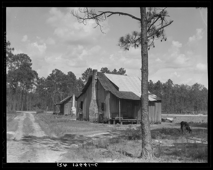

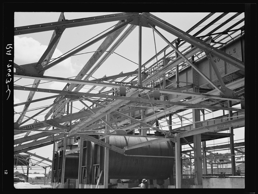
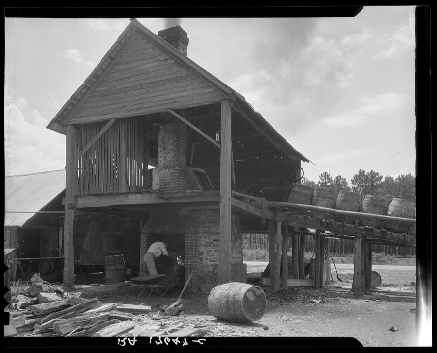

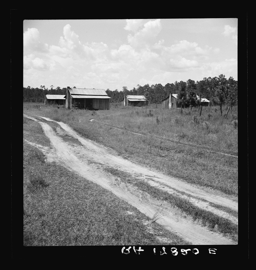

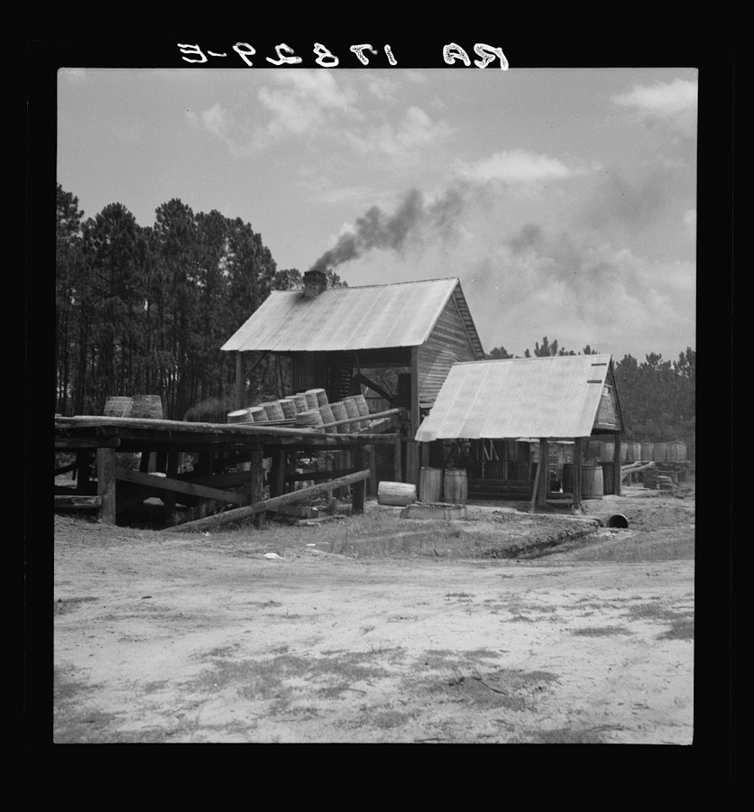

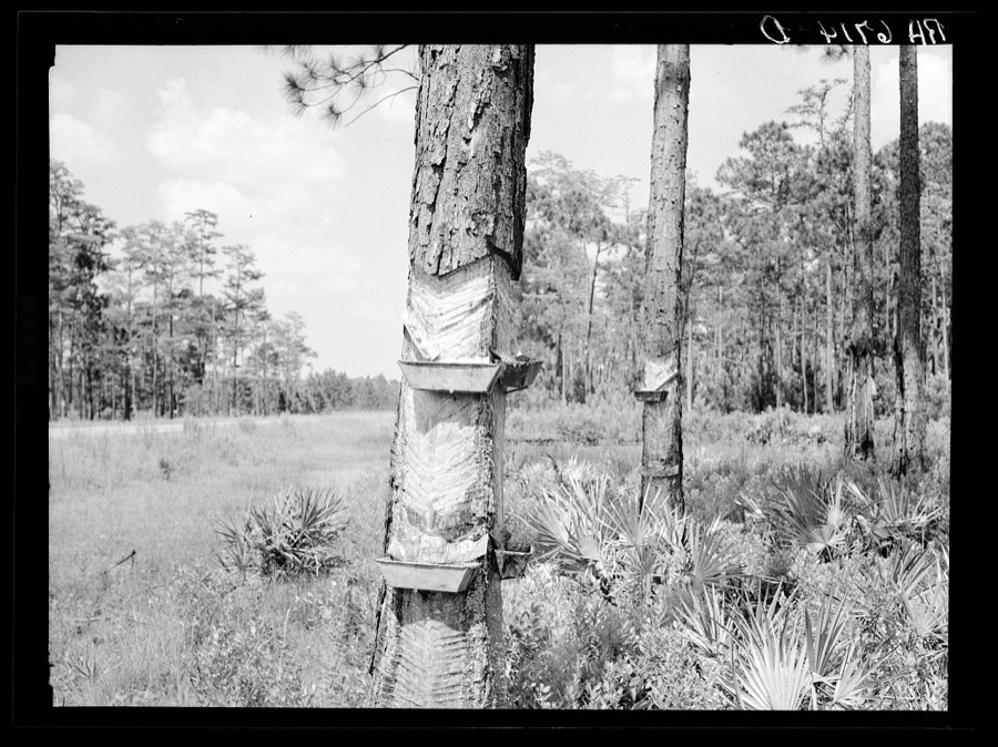
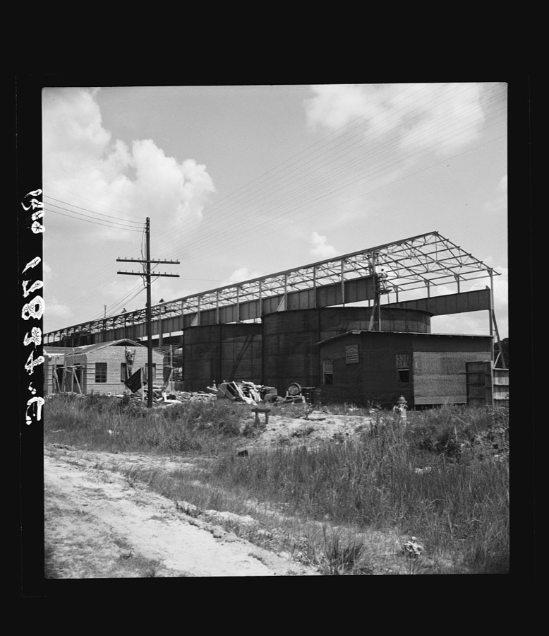
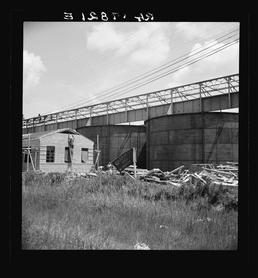
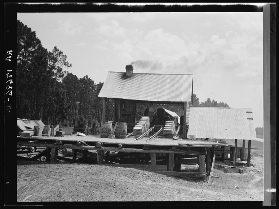
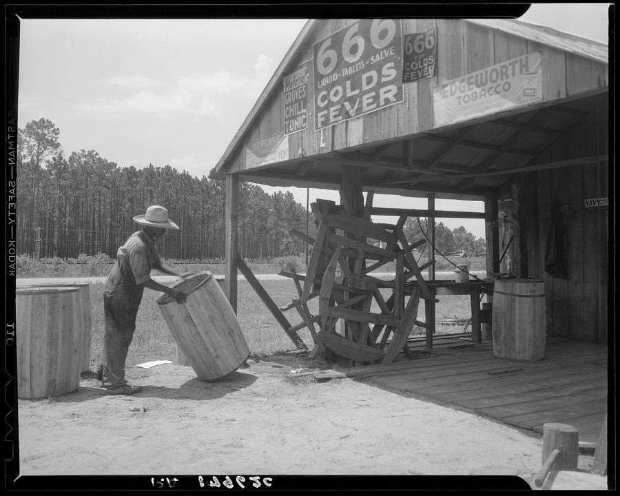



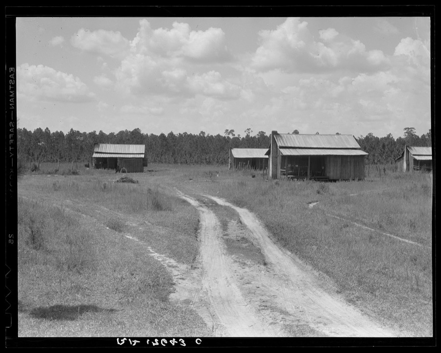
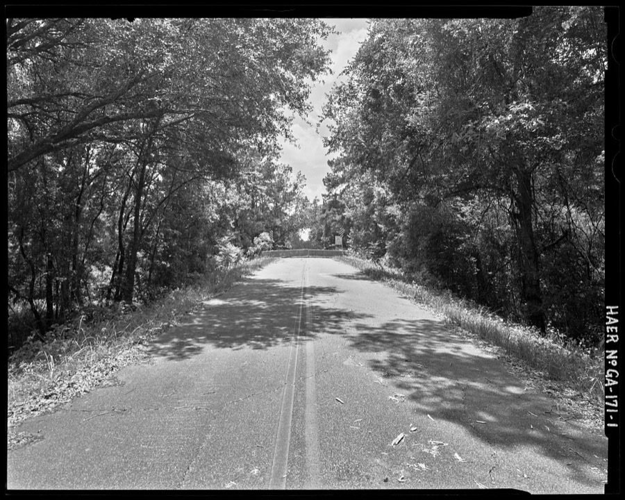
Every property in this county listed on the National Register of Historic Places, with the year it was listed and the federal nomination document.
| Photograph | Property | Type | Listed | Reference |
|---|---|---|---|---|
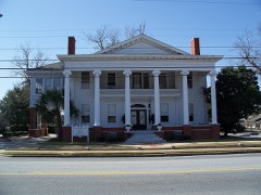 | Barber-Pittman House | building | 1980 | 80001108 |
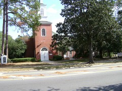 | Brookwood North Historic District | district | 1995 | 95000684 |
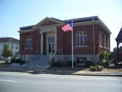 | Carnegie Library of Valdosta | building | 1984 | 84001120 |
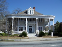 | Converse-Dalton House | building | 1983 | 83000233 |
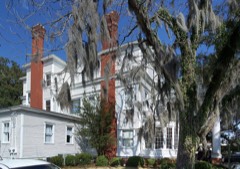 | Crescent, The | building | 1980 | 80001109 |
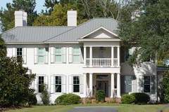 | Crestwood | building | 1984 | 84001147 |
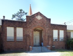 | Dasher High School | building | 1985 | 85000849 |
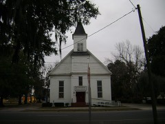 | East End Historic District | district | 2005 | 05000427 |
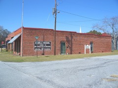 | Ewell Brown General Store | building | 1997 | 97000099 |
 | Fairview Historic District | district | 1984 | 84001149 |
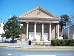 | First Presbyterian Church | building | 1987 | 87001912 |
| Hahira Commercial Historic District | district | 2022 | 100006746 | |
 | Lowndes County Courthouse | building | 1980 | 80001110 |
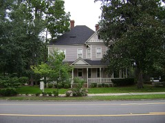 | North Patterson Street Historic District | district | 1984 | 84001151 |
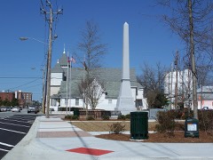 | Southside Historic District | district | 2007 | 07000379 |
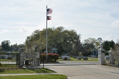 | Sunset Hill Cemetery | site | 2004 | 04000957 |
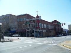 | Valdosta Commercial Historic District | district | 1983 | 83000234 |
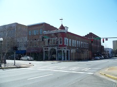 | Valdosta Commercial Historic District (Boundary Increase) | district | 2002 | 02001633 |
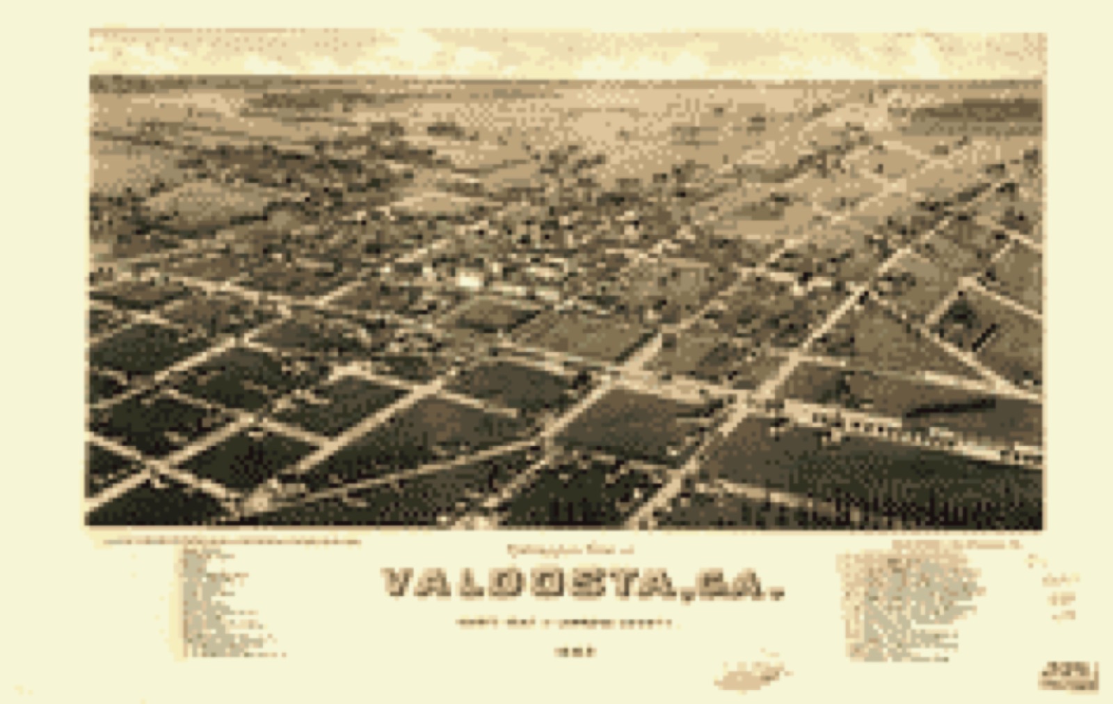
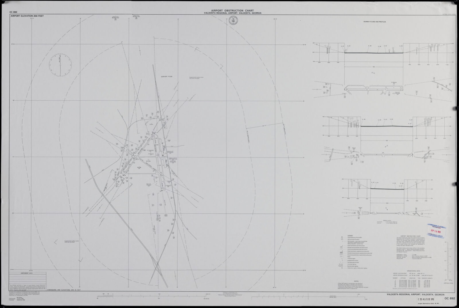
Drawn when these were printed as single large sheets: the town seen from the air, and the county divided into its farms with every owner named. Each opens the original at the Library of Congress.
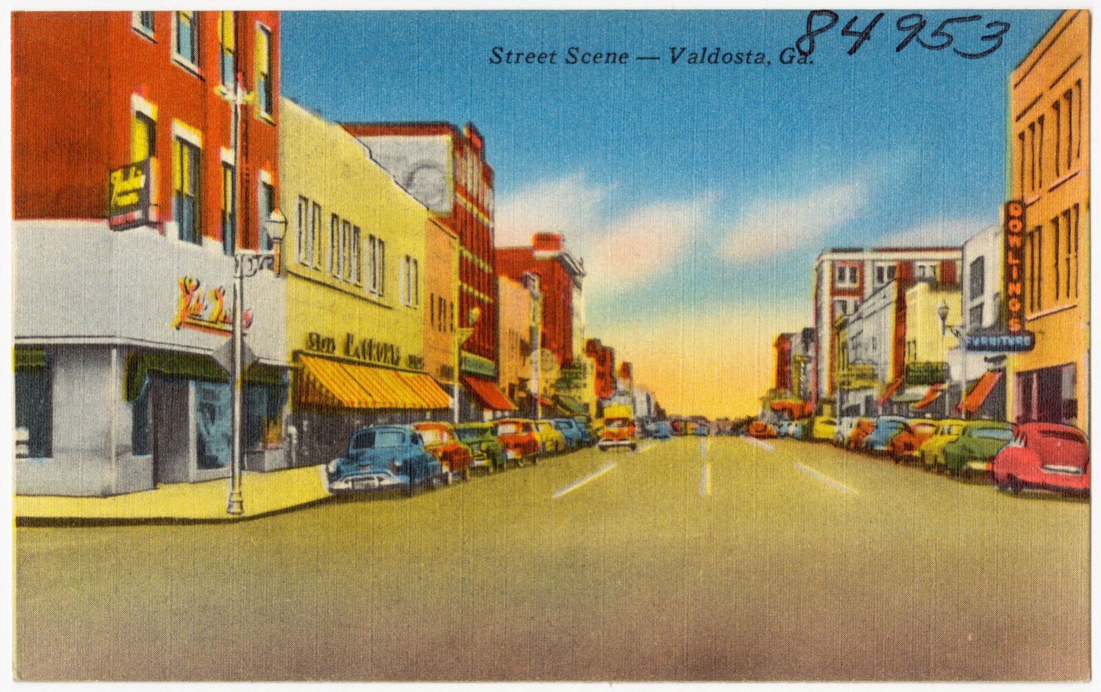
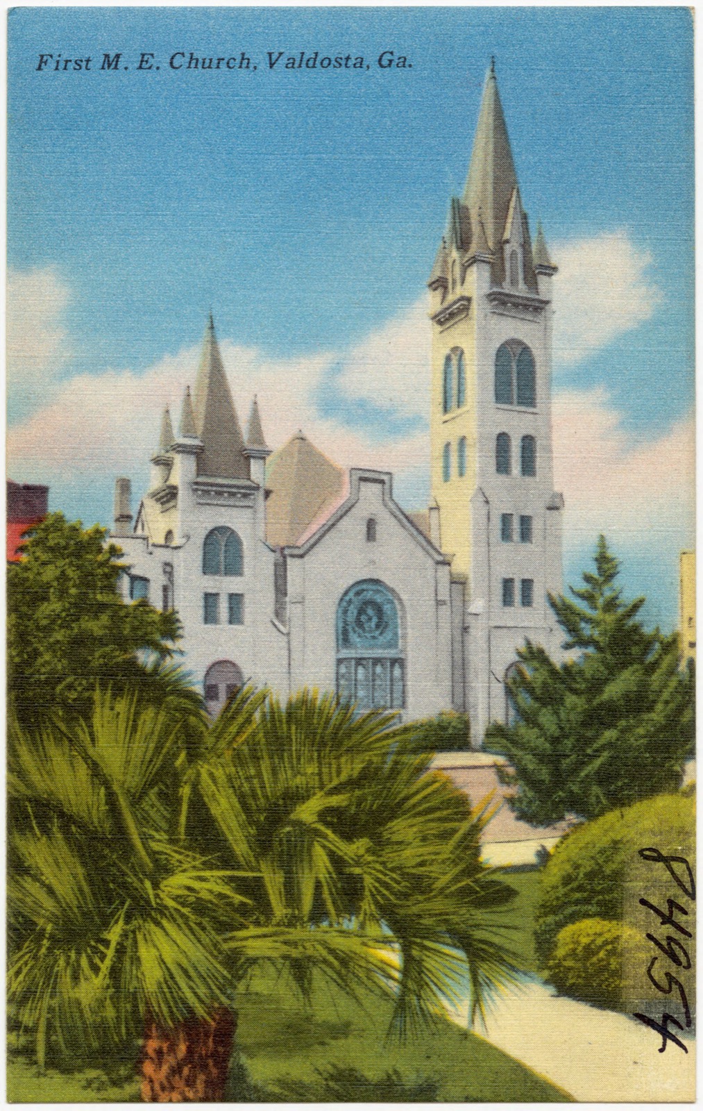
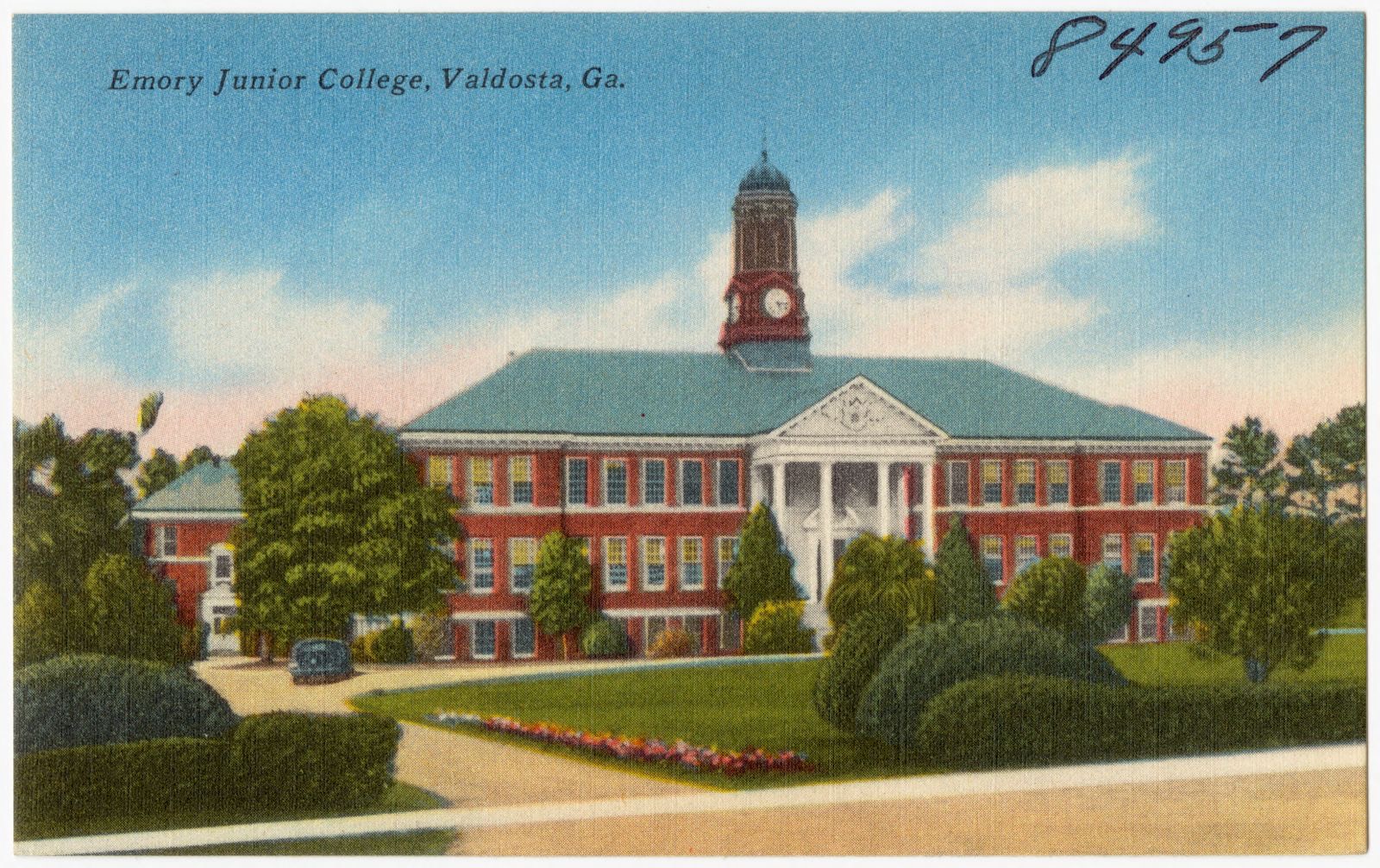
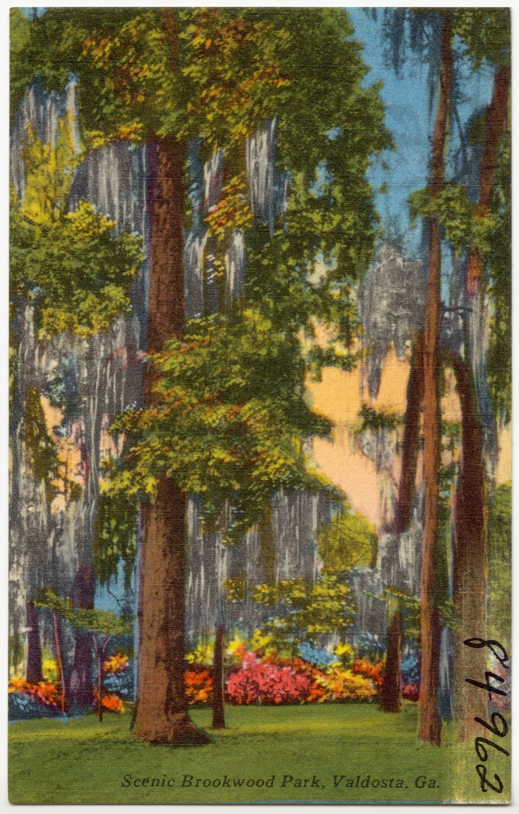
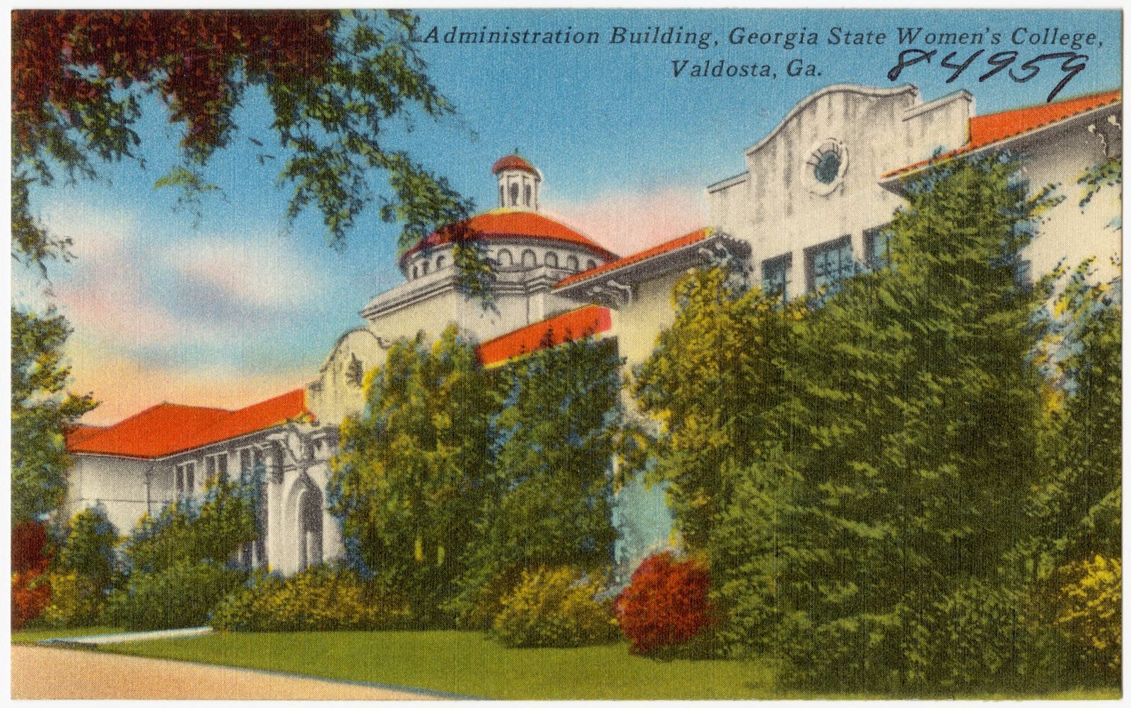
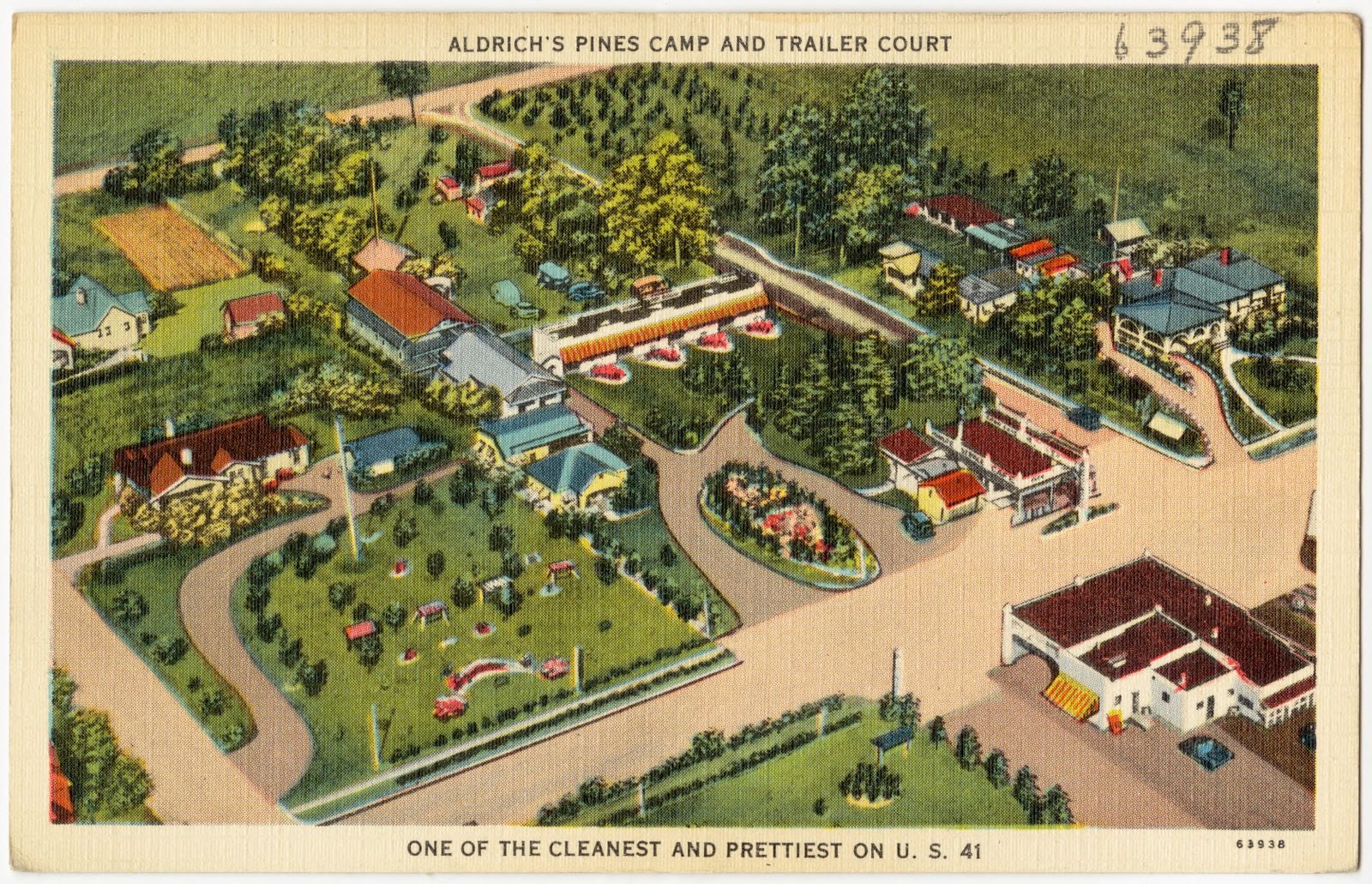
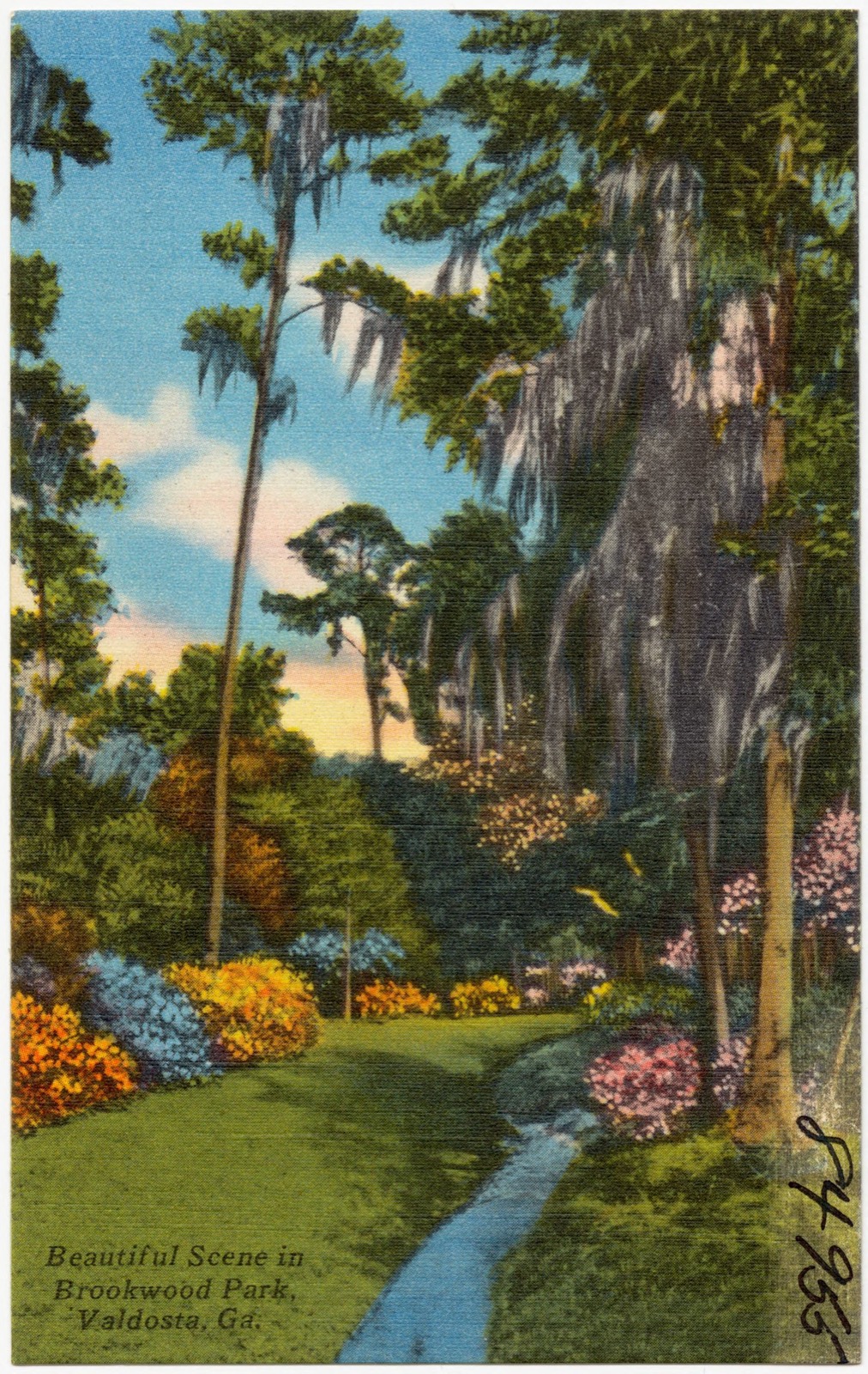
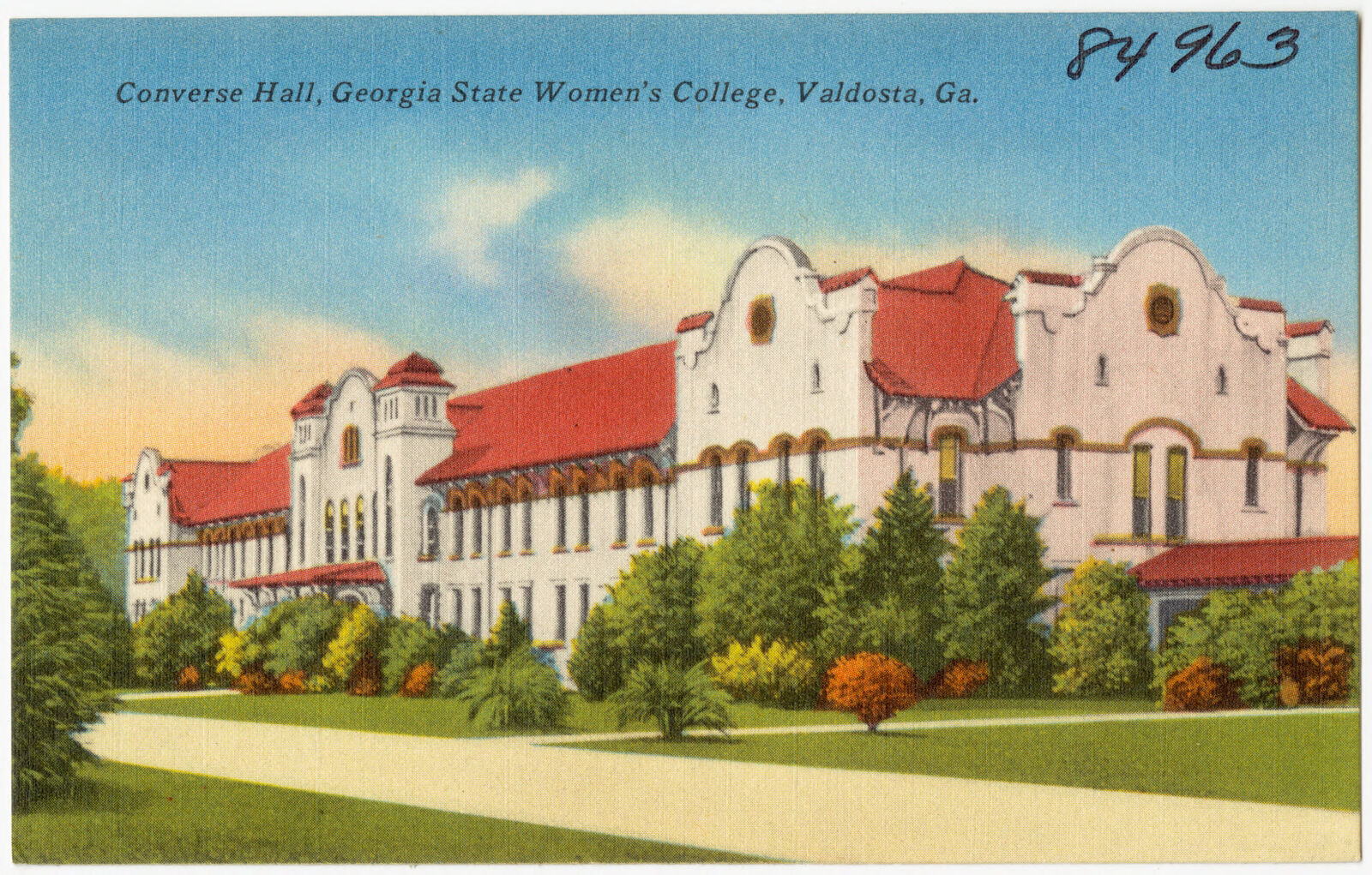
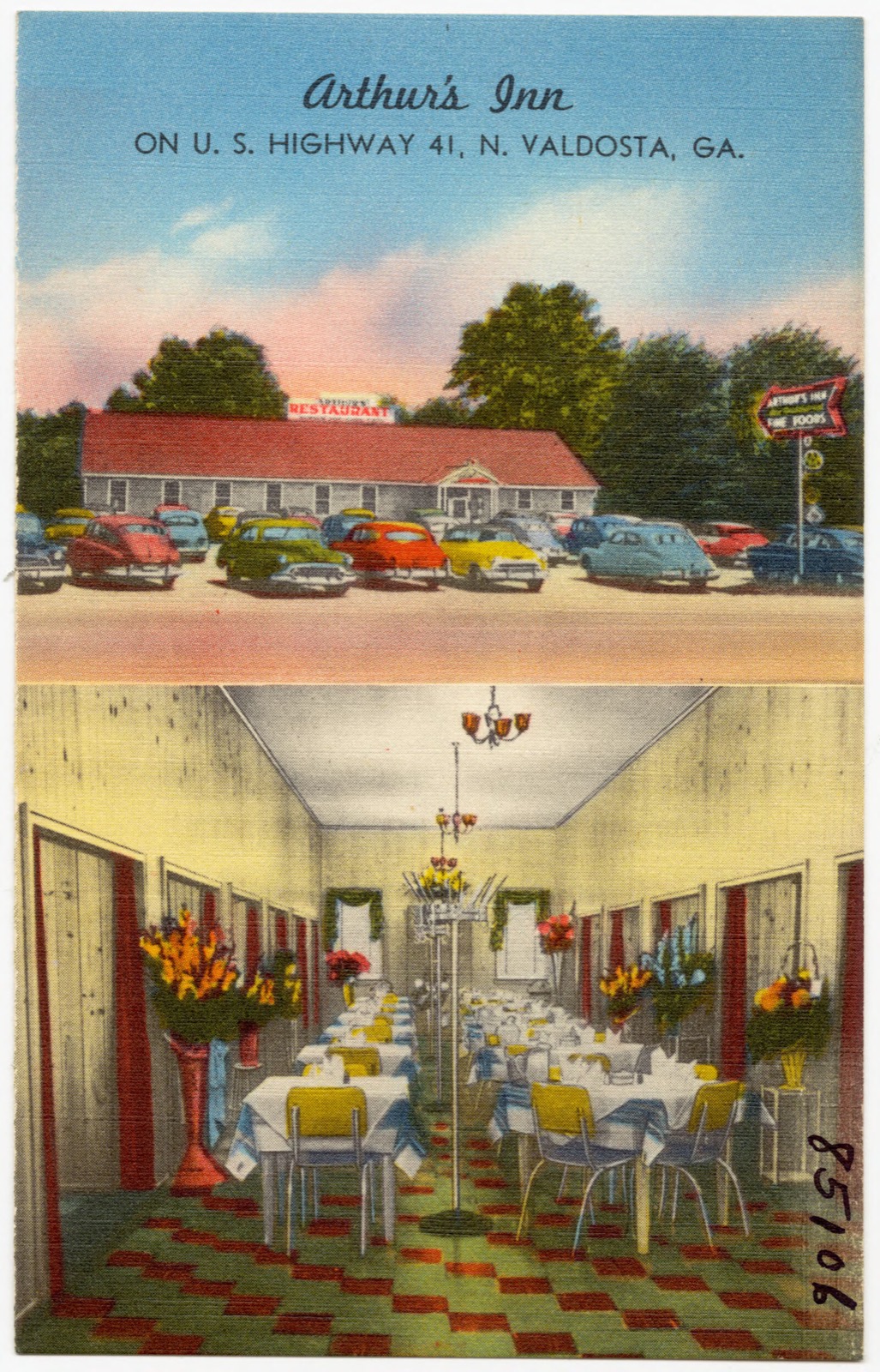
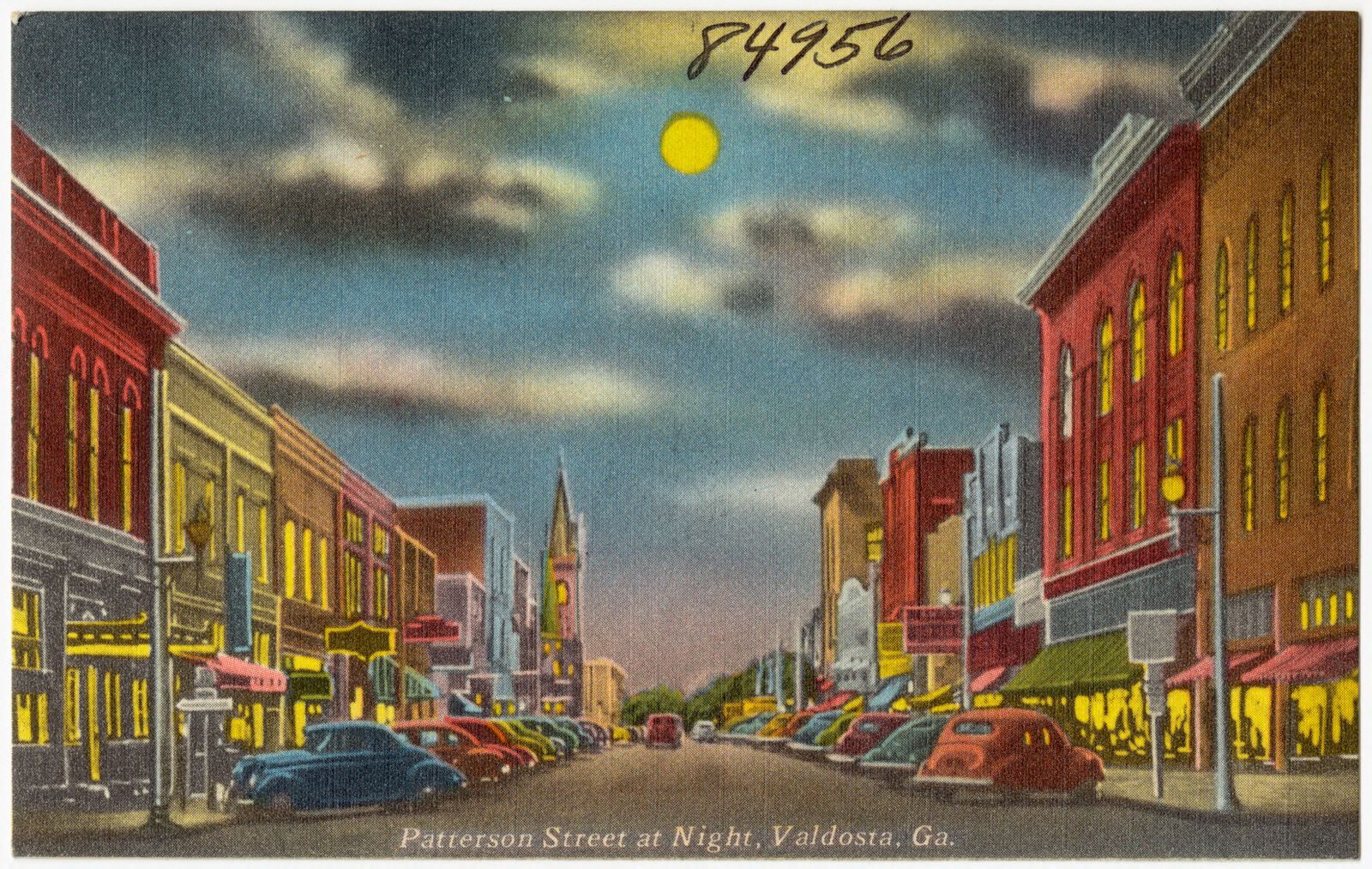
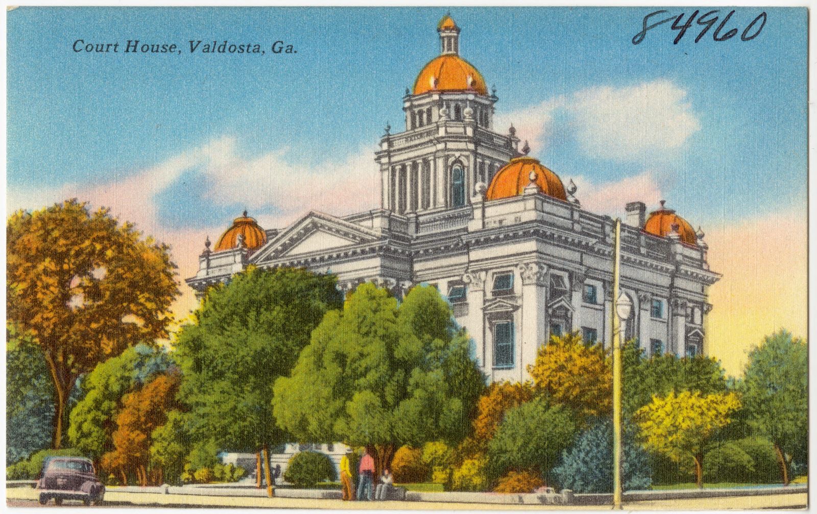
Selected from the Digital Public Library of America's 17 image records catalogued for this county. Every one shown here carries a public-domain status or a licence that permits reuse on a site that carries advertising; non-commercial, share-alike and restricted images are excluded. The selection is spread across the county's towns (at most eight per town), so no single institution's bulk upload crowds out the rest. Each opens the holding library's record, and the complete set at the Digital Public Library of America is one click away.



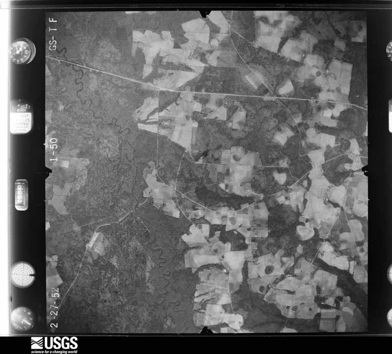
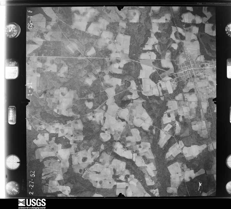
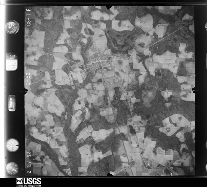
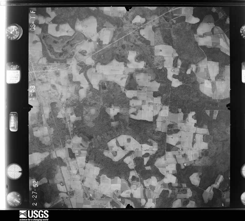
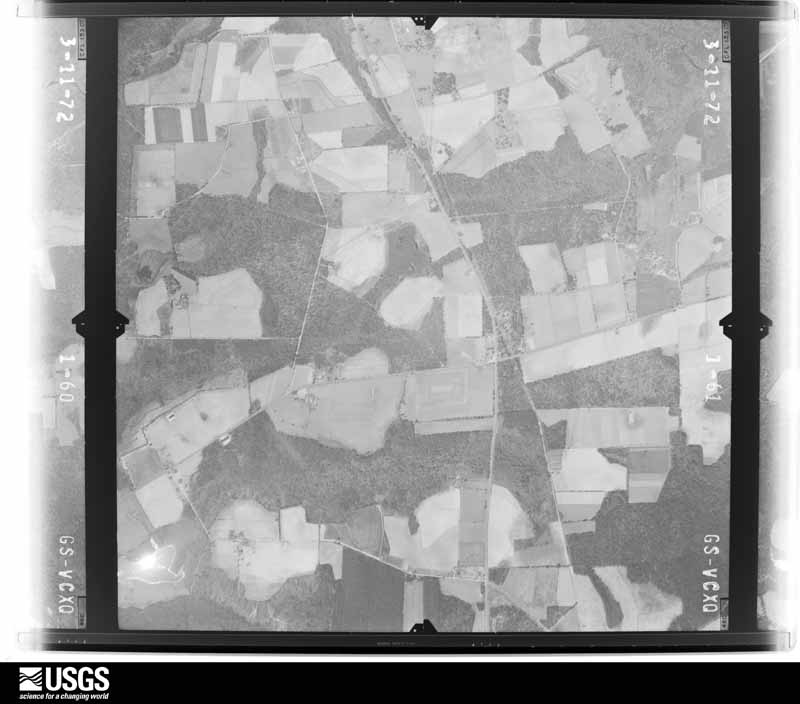
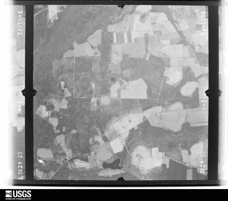
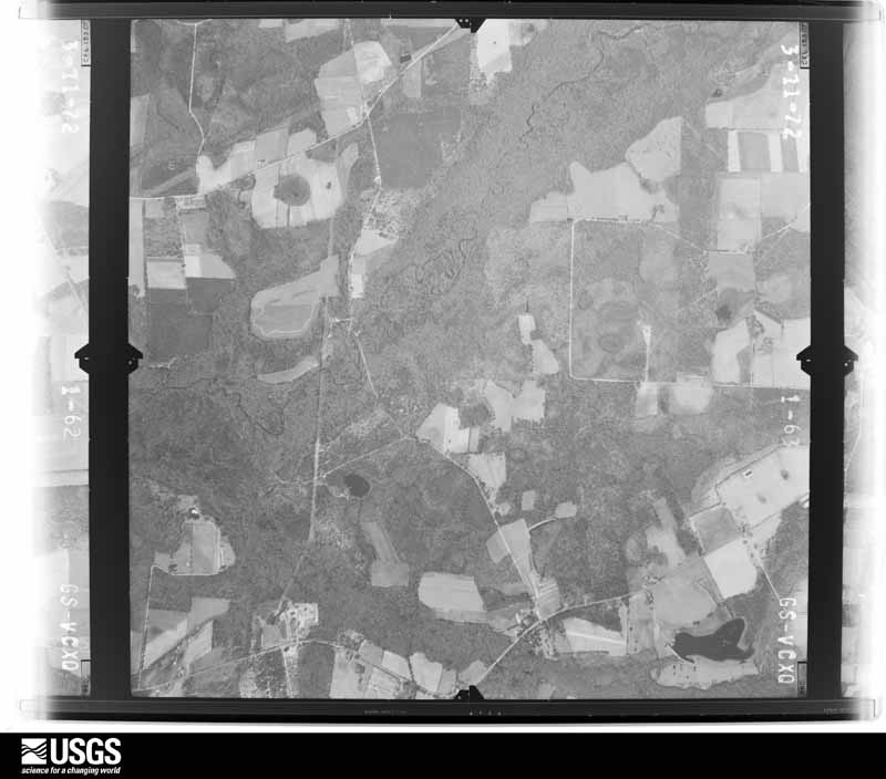
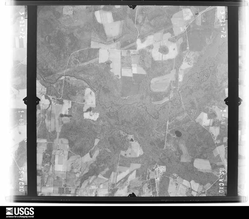
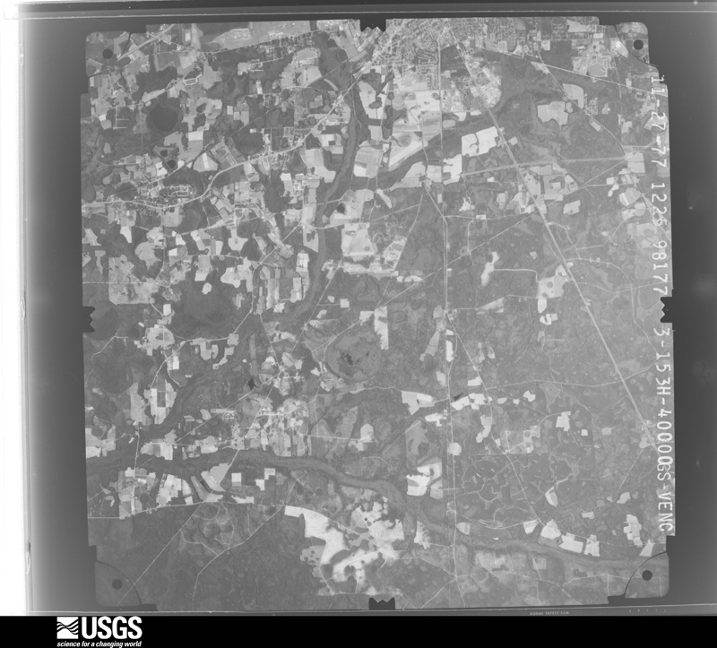
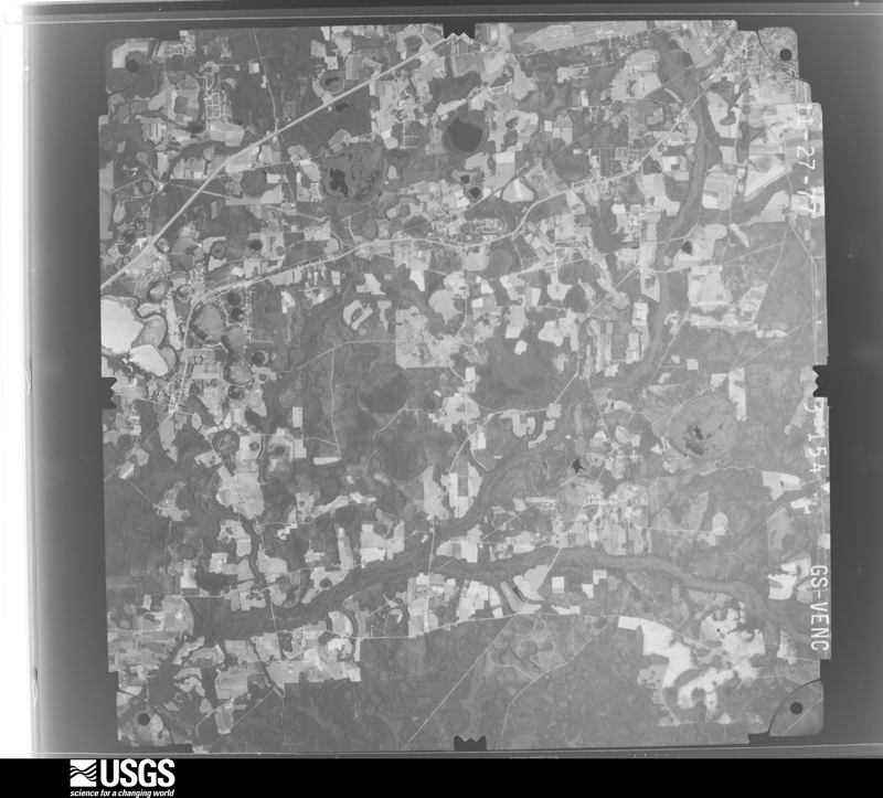
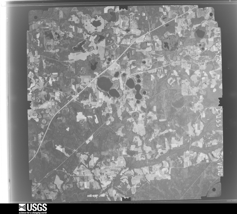
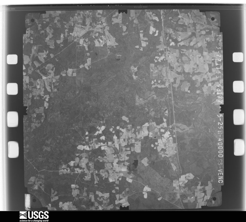
Flown by the U.S. Geological Survey between 1937 and 1989, the Aerial Photo Single Frames collection is the definitive mid-century view of the land: fields, roads and rivers as the camera saw them. The Survey holds 1,095 frames inside the rectangle that bounds this county; the 32 frames below were taken over the county itself, chosen across the decades of flights (at most four a year from that rectangle), so one flight cannot crowd out the rest. The full set is free to browse and download at EarthExplorer under the dataset Aerial Photo Single Frames.
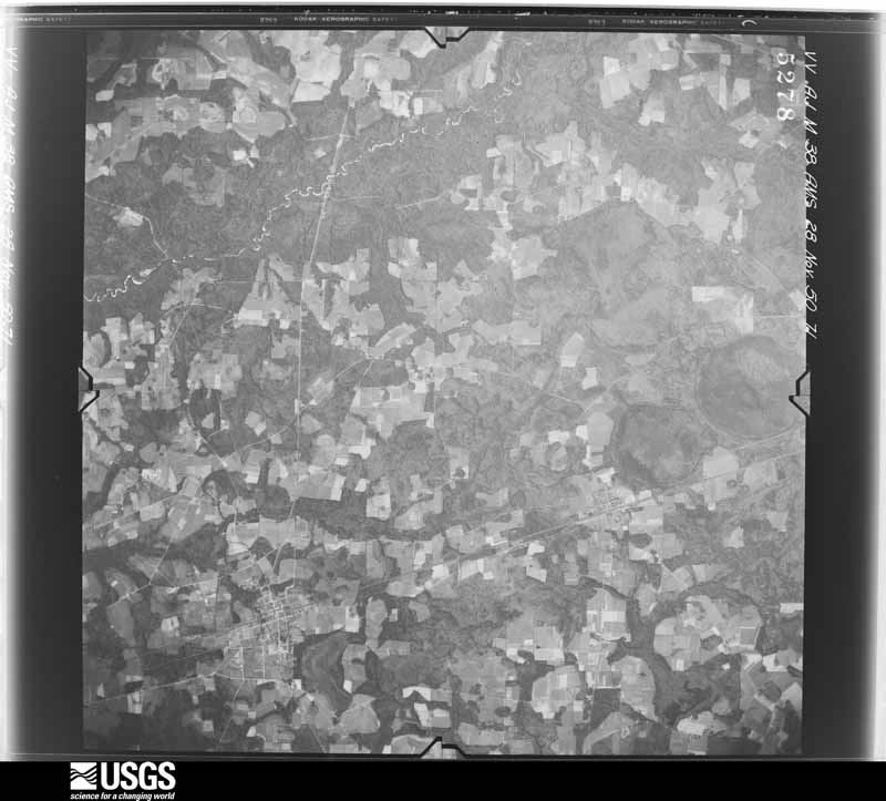
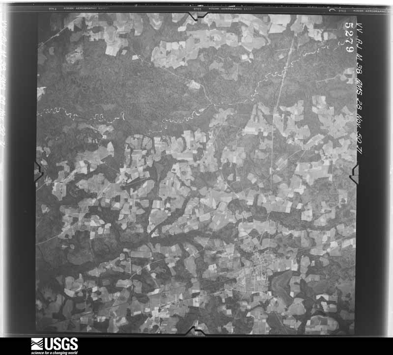
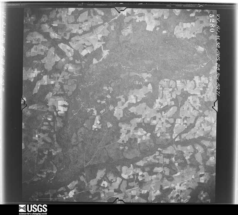
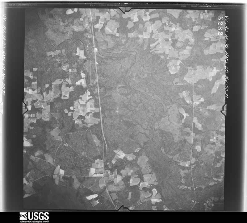
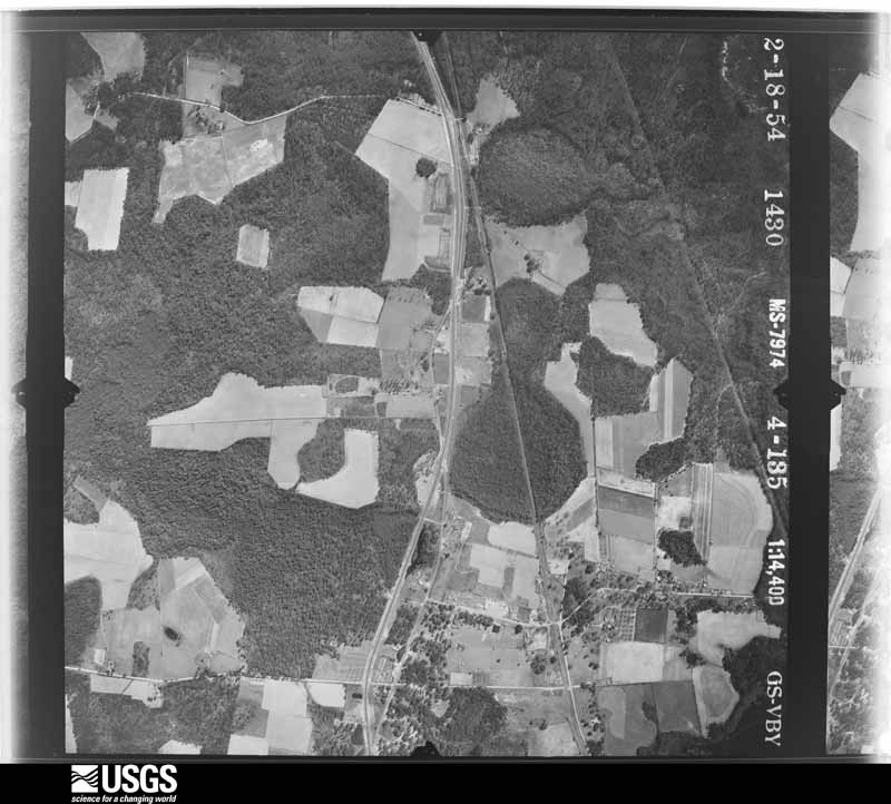
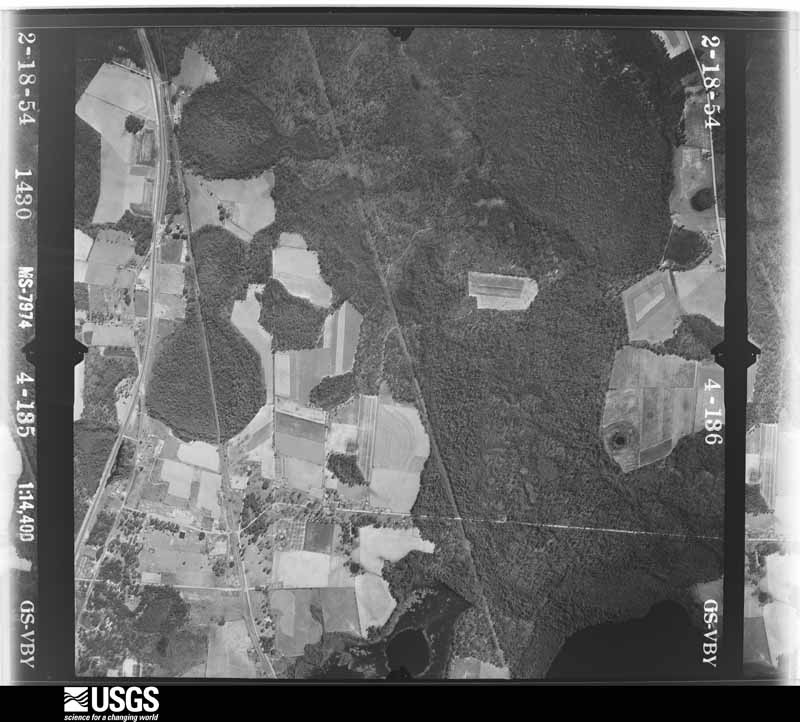
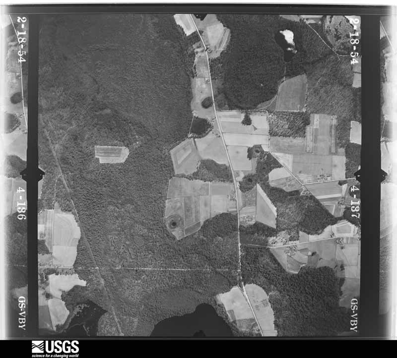
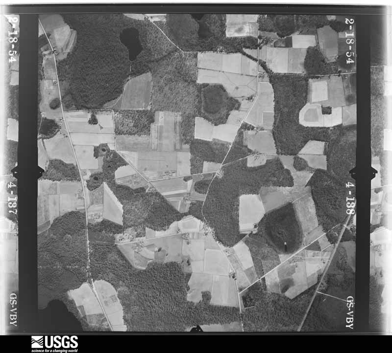
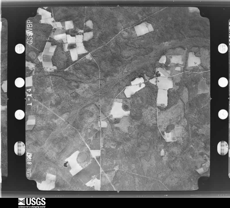
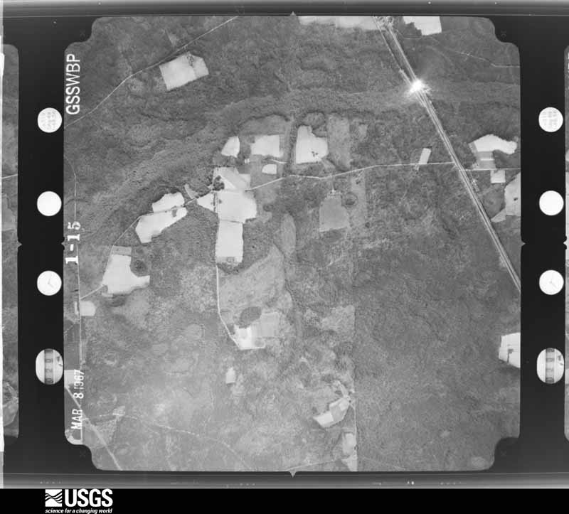
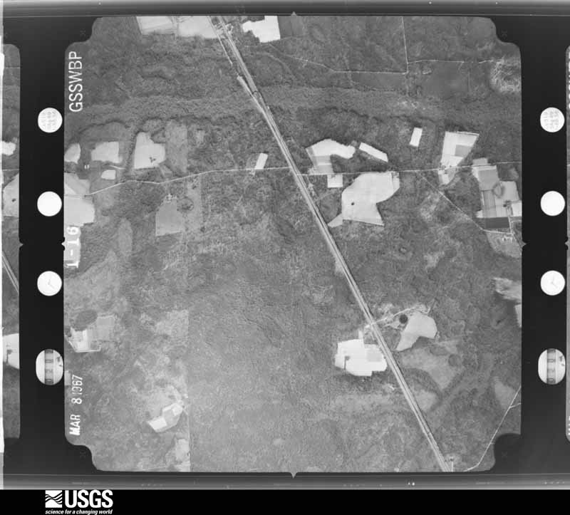
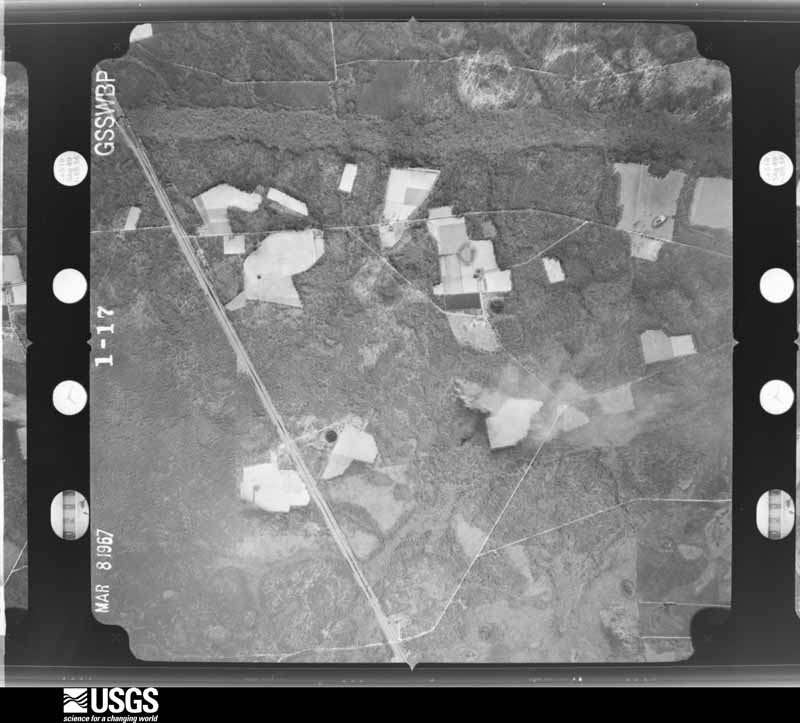
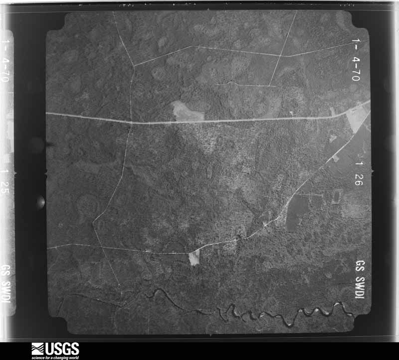
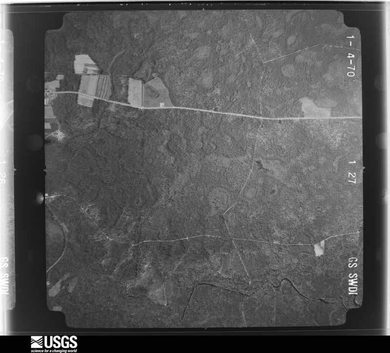
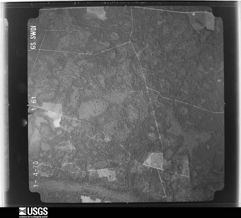
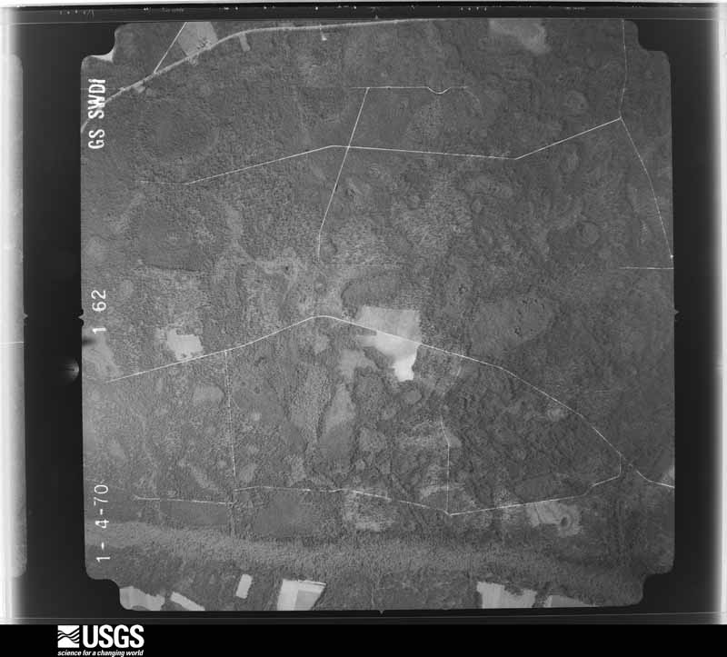
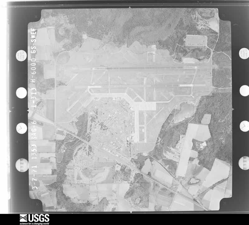
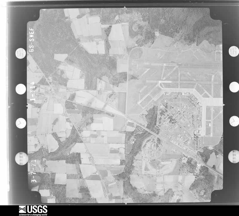
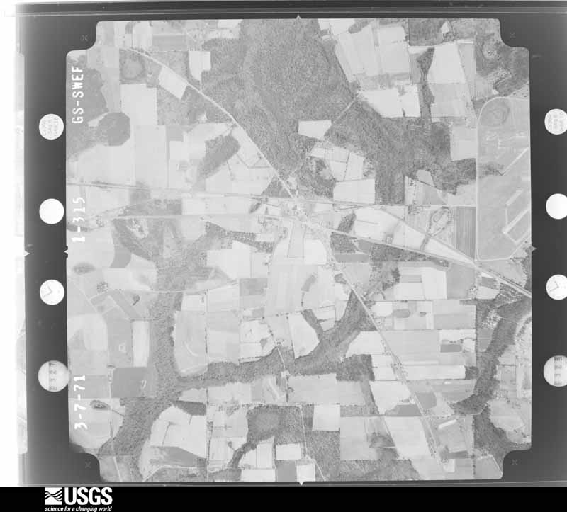
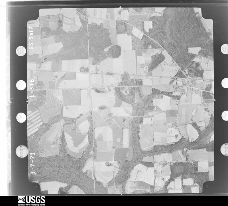
The thermometers that kept this county's weather, and the gages that measured the flow of its streams, as the federal records hold them. The extremes below are measured values from those records, not estimates.
Who lived here in 1950, one enumeration district at a time, as the Census Bureau described each district. Each row opens its official National Archives result, with Population Schedules and ED Maps available there.
Every wildfire the federal occurrence database records inside this county: 2,262 of them, burning about 9,425 acres. 60 started naturally and 405 were recorded as arson. Each settlement page carries the fires within five miles of it.
| Reported cause | Fires |
|---|---|
| Debris and open burning | 1278 |
| Arson/incendiarism | 405 |
| Equipment and vehicle use | 153 |
| Smoking | 123 |
| Railroad operations and maintenance | 86 |
| Misuse of fire by a minor | 63 |
| Natural | 60 |
| Missing data/not specified/undetermined | 60 |
| Recreation and ceremony | 34 |
The five largest, by the area the report gives. Two of them were set deliberately.
| Date | Cause | Size | Reported by | Name on the report |
|---|---|---|---|---|
| 2 March 2000 | Debris and open burning | 2,065 acres | Georgia Forestry Commission | FY2000-LOWNDES-142 |
| 28 February 2007 | Debris and open burning | 229 acres | Georgia Forestry Commission | not named |
| 28 February 2016 | Arson/incendiarism | 129 acres | Georgia Forestry Commission | FY2016-LOWNDES-012 |
| 8 August 2014 | Natural | 115 acres | Georgia Forestry Commission | FY2015-LOWNDES-005 |
| 20 March 2007 | Debris and open burning | 80 acres | Georgia Forestry Commission | not named |
| 25 May 1992 | Debris and open burning | 75 acres | Georgia Forestry Commission | not named |
| 15 March 1996 | Arson/incendiarism | 70 acres | Georgia Forestry Commission | not named |
| 9 March 1993 | Recreation and ceremony | 66 acres | Georgia Forestry Commission | not named |
Every settlement page carries the fires within five miles of it - see the settlement index below.
The NOAA Storm Events Database holds 645 reports for this county, causing 2 deaths, 18 injuries and about $22,042,000 in recorded property damage. Each settlement page carries the reports that name it.
| Kind of event | Reports |
|---|---|
| Thunderstorm Wind | 444 |
| Flash Flood | 85 |
| Hail | 57 |
| Tornado | 22 |
| Heavy Rain | 17 |
| Lightning | 13 |
| Flood | 5 |
| Funnel Cloud | 2 |
The most serious of them, by death, then injury, then recorded damage. The accounts are quoted exactly as the forecast office filed them.
| When | Event | Place named | Harm | What the report says |
|---|---|---|---|---|
| September 2014 | Lightning | (Vld)Valdosta Regional Arpt | 1 killed | A 57 year old male was struck by lightning at a construction site while sheltering under a pole barn. He then suffered a heart attack and died as a result of the lightning strike. |
| August 2003 | Lightning | Kinderlou | 1 killed | A Lowndes County teen was struck by lightning while outside his home. Three days later, he died of cardiac failure at Shands Hospital in Gainesville. Reported by the Valdosta Daily Times. |
| December 2014 | Tornado (EF2) | Valdosta | 9 hurt, $750,000 | The tornado first developed just north of Langdales Pond and Old Clyattville Road on the south side of the city of Valdosta. Some of the most severe damage was near the beginning of the track as the tornado impacted Langdale Forest Products along Old Clyattville Road. Several large metal buildings were severely damaged or destroyed and the damage to those buildings was assigned the EF2 rating that is the maximum for this tornado. Some vehicles parked near those buildings were tossed around 70 yards across the street. Two rail cars nearby were also tipped over. The remainder of the track consisted of EF0 or EF1 damage as the tornado moved east and eventually dissipated near south Patterson Street and Dampier Street. That damage in the remainder of the track was a mixture of damage to buildings, trees, and power lines. Monetary damage was estimated.||This was the first tornado to directly affect the city of Valdosta since an F1-rated tornado on November 1, 1997. |
| February 2024 | Tornado (EF2) | Dasher | 2 hurt, $250,000 | The tornado initially touched down along Old Lake Park Road south of Hickory Grove Road, causing damage to trees and powerline, with minor damage noted to a manufactured home. The tornado continued northward, crossing Hickory Grove Road, and causing minor damage to a home at the intersection of Ezelle Road. An unoccupied double-wide manufactured home was destroyed on Ezelle Road, with damage supportive of an EF-2 rating. As the tornado continued north, it impacted another double-wide manufactured home along Johnson Road, destroying the home with damage also supportive of and EF-2 rating. The damage at these two locations support the maximum rating of the tornado of EF-2 with an approximate maximum wind speed of 120 mph. The tornado continued to travel north, causing sporadic damage to trees, homes and outbuildings, in the EF-0 to EF-1 range. A destroyed farm outbuilding along with roof damage to a single family home was noted along Davis Lane. A metal structure was severely damaged along US Highway 84. The tornado appears to have dissipated in a pecan orchard north of Highway 84. Additional video on social media helped determine a rough estimate on the end point. Special thanks to Lowndes County Emergency Management for assistance with this survey. |
| February 1971 | Tornado (F1) | not stated | 2 hurt, $25,000 | no account filed |
| September 2015 | Lightning | I-75 At Exit 29 | 2 hurt | Two people were struck by lightning and injured. |
| July 1966 | Tornado (F2) | not stated | 1 hurt, $250,000 | no account filed |
| July 2004 | Thunderstorm Wind | Valdosta | 1 hurt, $10,000 | Downed trees blocked several roads. One tree fell on a house. Another tree fell on a vehicle. The occupant suffered minor injuries. Reported by the Valdosta Daily Times. |
| August 2006 | Lightning | Valdosta | 1 hurt | The Valdosta Police Department reported a person injured by lightning. |
| November 2024 | Flash Flood | (Vad)Moody Afb | $5,000,000 | Extremely heavy rainfall occurred in a short period of time over Valdosta, leading to catastrophic flash flooding. Around 10 inches of rain fell in a 6 hour period. The 1000 year Average Recurrence Interval for a 6 hour rainfall in that area is estimated to be 8.59 inches, so this was a very rare event. Impacts were catastrophic with numerous homes flooded in Valdosta. Known catastrophic flooding occurred in the Chadwyck Subdivision, perimeter circle, Floyd St, Dukes Bay, Lee Street, Pin Oak, Lakeland, and Sugar Creek areas. Catastrophic flooding was generally centered predominantly around the Browns Canal, Dukes Bay East and west, Knights Creek, and One Mile Branch tributaries. These natural drainage features move through Valdosta and cross public streets in dozens of locations along their reaches. Numerous homes were flooded and some roads were washed out. Damage cost was estimated. |
| March 2024 | Thunderstorm Wind | Remerton | $3,500,000 | Based on storm reports and radar data, damage began near the I-75 Exit 18 in Valdosta and continued East-Northeast through the northwest portion of Valdosta. Within this area, numerous large pine trees were uprooted with a few snapped along the swath of severe winds. All trees uprooted or snapped were facing to the east or northeast, which is indicative of straight-line wind damage. Moreover, radar data from Moody Air Force Base displayed a distinct downburst signature throughout the duration of the storm in Valdosta. Examination of the photos and drone imagery from Valdosta Fire and Lowndes County EMA showed that in some areas, damage was extensive with widespread pine trees falling onto homes. In total, 32 homes were affected, with a few homes being directly impacted by pine trees, effectively sliced in half. Damage to all single family homes was due to tree impacts, with no damage noted due directly to the straight-line winds. Wind damage reports extended as far north as Lakeshore Drive. The path width peaked at just over 1 mile wide, mainly in the area inside Inner Perimeter Road. Based on the size and number of trees uprooted and a few snapped, the maximum winds within this area is rated at 75 mph. |
| April 2009 | Flood | Barretts | $2,500,000 | Moderate to major flooding along the Withlacoochee River north of Valdosta closed Franklinville Road and Little River Road, as well as several bridges. At least 100 homes were flooded. |
| April 1988 | Tornado (F1) | not stated | $2,500,000 | no account filed |
| June 2001 | Flash Flood | Countywide | $1,000,000 | The remnants of Tropical Storm Allison dumped up to 11 inches of rain Monday night and early Tuesday morning. Eight inches of rain fell in Valdosta. Numerous county roads and highways were closed, with numerous washouts. Six families on Martin Lane off of Quitman Road were evacuated from their homes. Numerous trees down in the Sugar Creek subdivision near Valdosta. Several bridges were damaged. A state of emergency was declared for Lowndes County. Reported by the Lowndes County EMA. |
| October 1994 | Thunderstorm Wind | Dasher | $500,000 | A trailer was overturned, and numerous power lines were reported downed between Valdosta and Dasher along Georgia Highway 7. |
| May 1993 | Thunderstorm Wind | Valdosta | $500,000 | Several large trees and power lines were downed while numerous homes and vehicles suffered damage from wind blown debris. An estimated 5000 people were without power after the storm hit. |
| November 1997 | Tornado (F1) | Valdosta | $350,000 | F1 tornado skipped across U.S. Highway 84 in the Rocky Ford Road/Troupville Highway area just west of Valdosta. Two rugged steel radio towers (300 and 500 feet tall) lifted off ground and destroyed two miles west of Interstate 75. Numerous trees and power poles snapped. Approximately 35 homes and businesses sustained damage in Valdosta. Several mobile homes heavily damaged. One mobile home blown 30 feet onto a vehicle. |
| January 2017 | Tornado (EF1) | I-75 At Exit 22 | $250,000 | The tornado initially touched down just east of the Withlacoochee River in Lowndes County and tracked toward Interstate 75. On the west side of the interstate, a few trees were snapped along Shiloh Road. Additionally, billboards along the interstate were also damaged. After crossing Interstate 75, the tornado impacted a subdivision on both the west and east side of North Coleman Road. Damage in this area was primarily limited to minor roof damage. Multiple homes had shingles removed. Additionally several large pines were snapped in the area as well. Damage in this area was consistent with lower end EF-1 damage. As the tornado approached US-41, a large barn was destroyed and several large trees were also uprooted. Several other large trees were uprooted just east of US-41 on Kilarney Circle. Damage in these areas was consistent with an EF-1 tornado with winds around 100 MPH. The tornado snapped a few more pine trees when passing Val Del Road before lifting about 1 mile east of the road. Damage cost was estimated. |
| March 2012 | Tornado (EF2) | Barretts | $250,000 | An NWS Storm Survey confirmed that an EF2 tornado occurred in Lowndes county, then moved into Lanier county where it strengthened into an EF3 with maximum winds around 140 mph. The path width was estimated to be around 390 yards wide with a path length in Lowndes county of slightly over 4 miles long. In Lowndes county, the tornado likely initially developed along Cat Creek Road. Several reports were received of funnels from this location while the event was ongoing. There was a house near Cat Creek Road that had uprooted trees on the property with one or two impacting the house. Trees were generally blown down to the northeast, although a street sign was bent to the ground facing to the northwest. A few trees were also blown down along a tree line across the road. At that point, the tornado entered a more heavily forested area with no access roads. However, an aerial flyover by emergency management confirmed sporadic tree damage and a continuous damage path in that area. After the tornado cleared this forested area, the damage path began to widen and the tornado damage increased in intensity. Along Arapaho Trail, about a half mile south of Highway 122, the first instance of EF2 damage occurred as a mobile home was completely destroyed with debris blown downstream, mainly into fencing on the property. Also in this location, a shed was completely destroyed, a camper was flipped, part of the roof of a house was removed, and a silo was destroyed with the debris found resting on the opposite side of the house from where it started. Debris from locations along Arapaho Trail were found well downstream, in some cases at least one third of a mile. Along the next cross street - Peters Road - mostly EF1 damage was observed with snapped and uprooted trees and some broken windows in houses. The survey team found a tree sitting on the ground with a root ball at the end, but could not locate the hole or source of the tree within at least several hundred yards. Along Peters Road gouges were observed in the ground as some debris began to impact the ground. As the tornado crossed Bemiss Road (Highway 125) near Walkers Crossing, the damage path began to reach its widest phase. The maximum width of the tornado was estimated to be around 390 yards or 0.22 miles based on the damage survey. Additional EF2 damage was observed on both sides of the road with wooden power poles snapped, hardwood trees snapped or uprooted, and several homes damaged. A second abandoned home was pushed six feet off the concrete foundation. Maximum winds along this part of Bemiss Road were estimated to be around 125 mph based on damage. Also near these homes, there were deep gouges in the ground, including this one that was close to 1 foot deep and 6 feet long. Large debris also continued to be found along the damage path, including strips of metal that were twisted around damaged trees. The tornado then continued east-northeast, crossing Highway 122 near Barber Road into Lanier county. The Lowndes county emergency manager estimated property damage for Lowndes county at around $250,000 with an additional $100,000 in crop damage from fallen pecan trees. |
| February 2008 | Thunderstorm Wind | Clyattville | $250,000 | Straight line winds snapped power poles and trees. There were trees on top of several homes and across county and secondary roads. Uprooted trees knocked holes in the roof of the United Methodist Church in Clyattville. A roof was lifted off a home on Johnson Road. |
| May 1998 | Thunderstorm Wind | Valdosta | $250,000 | Straight-line winds destroyed three mobile homes, a wood frame house, and a church in Valdosta. Numerous trees and power lines downed throughout Valdosta. Dime sized hail reported in northeast Valdosta. |
| June 1977 | Tornado (F1) | not stated | $250,000 | no account filed |
| August 1960 | Tornado (F0) | not stated | $250,000 | no account filed |
| September 2000 | Flash Flood | Countywide | $200,000 | Excessive rainfall on the order of four to six inches in a 12-hour period contributed to localized flooding and closing numerous roads. Flood waters washed out several county roads. Water in homes was reported along Cat Creek. Jerry Jones Road in Valdosta was closed due to a small dam break. Reported by the Lowndes County EMA. |
| February 2006 | Flood | Valdosta | $150,000 | Three to five inches of rain Thursday afternoon flooded several intersections and low-lying areas. The heavy rains caused the roof of a video store to collapse. There was extensive damage and a portion of the building will have to be rebuilt. Reported by the Valdosta Daily Times. |
| January 2000 | Thunderstorm Wind | Valdosta | $150,000 | A large oak tree fell onto a second-story apartment building causing minor damage. Thunderstorm windsripped roofs off two office supply buildings causing an estimated $50,000 damage. The Lowndes CountyEM received numerous reports of downed trees, limbs and power lines blocking several roadways andcausing scattered power outages countywide. Two power transformers caught fire in Valdosta withmore than 200 residents without electricity. Georgia Power crews were dispatched from Tifton to assistwith the repairs. |
| April 2000 | Thunderstorm Wind | Valdosta | $150,000 | The Lowndes County EMA reported numerous downed trees and power lines blocked several roads in and around Valdosta. A mobile home tipped over in high winds while transported on Perimeter Road and blocked traffic for several hours. A few small businesses suffered minor roof damage. A fallen tree crushed a pickup truck on Jerry Jones Road. Scattered power outages affected over 1,000 customers. Georgia Power crews from Tifton as well as the Valdosta fire, police, public works and Lowndes County Sheriff were called to remove fallen debris and redirect traffic. |
| April 2014 | Thunderstorm Wind | Valdosta | $100,000 | Roof damage occurred to the Salvation Army store on North Ashley Street resulting in water damage to over half the building. Monetary damage was estimated. |
| June 2007 | Thunderstorm Wind | Hahira | $100,000 | Straight-line winds downed utility poles, which left 80 percent of the town without power for several hours including city hall. There were reports of downed trees on some homes and vehicles. |
| March 2002 | Thunderstorm Wind | Valdosta | $100,000 | Two homes damaged. Reported by the Lowndes County EMA. |
| July 2000 | Lightning | Naylor | $100,000 | Lightning ignited a fire which destroyed a warehouse. Reported by the Valdosta Daily Times. |
| August 2023 | Flash Flood | Barretts | $50,000 | The road was washed out due to flash flooding near the intersection of Flatswood Lane and Cooper Road. |
| August 2023 | Flash Flood | I-75 At Exit 22 | $50,000 | A portion of Val Del Road was washed out due to flash flooding. |
| August 2023 | Flash Flood | Lake Park | $50,000 | A portion of Highway 41 was washed out due to flash flooding. |
| August 2023 | Flash Flood | Clyattville | $50,000 | The road was washed out due to flash flooding near the intersection of Whitewater Road and Knights Road. |
| August 2023 | Flash Flood | Clyattville | $50,000 | A portion of Scottwood Dr was washed out due to flash flooding. |
| August 2023 | Flash Flood | I-75 At Exit 11 | $50,000 | A portion of Exit 11 of I-75 was washed out due to flash flooding. |
| August 2023 | Flash Flood | Valdosta | $50,000 | The road was washed out near the intersection of Hunt Road and Inner Perimeter Road due to flash flooding. |
| August 2023 | Flash Flood | Valdosta | $50,000 | A portion of N Barack Obama Blvd was washed out due to flash flooding. |
| August 2023 | Flash Flood | Remerton | $50,000 | The road was washed out near the intersection of Melody Lane and W Gordon Street due to flash flooding. |
| August 2023 | Flash Flood | Remerton | $50,000 | A portion of Gornto Road was washed out due to flash flooding. |
| August 2023 | Flash Flood | Valdosta | $50,000 | A portion of Northside Dr was washed out due to flash flooding. |
| August 2023 | Flash Flood | Remerton | $50,000 | A portion of Jennifer Circle was washed out due to flash flooding. |
| August 2023 | Flash Flood | (Vad)Moody Afb | $50,000 | The road was washed out near the intersection of Bemiss Knights Academy Road and Studstill Road. |
| August 2023 | Flash Flood | I-75 At Exit 22 | $50,000 | A portion of the road near the intersection of Orr Road and Washington Drive was washed out due to flash flooding. |
| August 2023 | Flash Flood | Naylor | $50,000 | The road was washed out near the intersection of Good Hope Road and Hotchkiss Road. |
| April 2022 | Thunderstorm Wind | I-75 At Exit 5 | $50,000 | A tree fell onto a house on Little Oak Way. |
| July 2021 | Thunderstorm Wind | (Vad)Moody Afb | $50,000 | Numerous trees and power lines were blown down along Highway 125 in the Bemiss area between Bemiss Knights Academy Road and Studstill Road. Some trees were blown onto houses. This was associated with a downburst. |
| April 2019 | Thunderstorm Wind | Clyattville | $50,000 | A tree fell on a double wide mobile home in the Clyattville area. |
| January 2017 | Thunderstorm Wind | Remerton | $50,000 | A tree was down on a house and power lines were down on 5 houses in the Pinecliff Drive area of Valdosta. |
| January 2017 | Thunderstorm Wind | Hahira | $50,000 | The Colquitt Electric Membership Corporation reported numerous power poles and power lines down through portions of Berrien, Brooks, Colquitt, Cook, and Lowndes counties. |
| May 2016 | Thunderstorm Wind | I-75 At Exit 22 | $50,000 | A very large oak tree was uprooted along Northlake Drive and fell onto a house, causing significant damage. Damage was estimated. |
| February 2014 | Thunderstorm Wind | Dasher | $50,000 | Some wind damage to structures occurred along Sportsman Cover Road south of Valdosta. Some roofing material was peeled off a few buildings and some trees were blown down. Monetary damage was estimated. |
| August 2006 | Thunderstorm Wind | Valdosta | $50,000 | Numerous trees and power lines down throughout the city. Some vehicles were damaged by fallen trees. Reported by the Valdosta Police Department. |
| July 2000 | Thunderstorm Wind | Moody Afb | $50,000 | Several apartments damaged. Large pecan trees down. Reported by the public. |
| September 2014 | Flash Flood | Valdosta | $30,000 | Very heavy rainfall in a short period of time led to flooding near downtown Valdosta with some vehicles reported to be stalled in high water. Monetary damage was estimated. |
| August 2012 | Lightning | Valdosta | $30,000 | Per the Valdosta Daily Times, lightning struck a rail car and caused a fire at the Arizona Chemical company. The rail car contained resin, but the fire was contained with no injuries. Monetary damage was estimated. |
| February 1995 | Thunderstorm Wind | Valdosta | $30,000 | Thunderstorm winds knocked trees and power lines down along Georgia State Road 31, two miles south of Interstate 75. |
| April 2016 | Thunderstorm Wind | Valdosta | $25,000 | A tree fell on a house on Worth Ave. Damage was estimated. |
| June 2009 | Thunderstorm Wind | Hahira | $25,000 | A large tree fell on an apartment complex, which required the evacuation of several residents. |
The Survey's mineral resources record lists 2 workings inside this county. 1 still produces and 1 is closed or unrecorded. Each settlement page carries the workings within five miles of it.
| Commodity | Workings |
|---|---|
| Sand and Gravel, Construction | 2 |
The least common of them first, because a county's hundredth gravel pit says nothing its first ten did not.
Named settlements recorded in the Geographic Names Information System, each with the topographic sheets covering it. Villages, hamlets and abandoned places alike. Each is shown with the nearest named watercourse or landform and the survey quadrangle it falls on. The 1 place that was also surveyed for fire insurance comes first, with the number of atlases and photographs held for them.
Valdosta census division · 31601 · Valdosta quadrangle
9 sheets, 1954 to 1981
Fire insurance: 10 atlases
Hahira census division · 31602 · On Cherry Creek · Hahira East quadrangle
9 sheets, 1954 to 1981
Valdosta census division · 31601 · Valdosta quadrangle
9 sheets, 1954 to 1981
No longer a settlement
Valdosta census division · 31605 · Bemiss quadrangle
6 sheets, 1954 to 1981
No longer a settlement
Valdosta census division · 31605 · On Cherry Creek · Hahira East quadrangle
9 sheets, 1954 to 1981
Barretts census division · 31605 · On Cherry Creek · Hahira East quadrangle
9 sheets, 1954 to 1981
Valdosta census division · 31605 · On Cherry Creek · Hahira East quadrangle
9 sheets, 1954 to 1981
Valdosta census division · 31601 · Valdosta quadrangle
9 sheets, 1954 to 1981
No longer a settlement
Valdosta census division · 31602 · On Twomile Branch · Valdosta quadrangle
9 sheets, 1954 to 1981
Valdosta census division · 31602 · On Twomile Branch · Valdosta quadrangle
9 sheets, 1954 to 1981
Hahira census division · 31602 · On Cherry Creek · Hahira East quadrangle
9 sheets, 1954 to 1981
Hahira census division · 31632 · On Twin Creek · Hahira East quadrangle
9 sheets, 1954 to 1981
Valdosta census division · 31601 · On Onemile Branch · Valdosta quadrangle
9 sheets, 1954 to 1981
Lake Park census division · 31636 · On Caney Branch · Lake Park quadrangle
7 sheets, 1954 to 1994
Valdosta census division · 31601 · Valdosta quadrangle
9 sheets, 1954 to 1981
No longer a settlement
Valdosta census division · 31602 · On Twomile Branch · Valdosta quadrangle
9 sheets, 1954 to 1981
Valdosta census division · 31602 · On Twomile Branch · Hahira East quadrangle
9 sheets, 1954 to 1981
Valdosta census division · 31601 · On Clyatt Mill Creek · Clyattville quadrangle
10 sheets, 1954 to 1994
No longer a settlement
Valdosta census division · 31602 · On Twomile Branch · Valdosta quadrangle
9 sheets, 1954 to 1981
Valdosta census division · 31601 · On Onemile Branch · Valdosta quadrangle
9 sheets, 1954 to 1981
Valdosta census division · 31601 · On Onemile Branch · Valdosta quadrangle
9 sheets, 1954 to 1981
Barretts census division · 31605 · Bemiss quadrangle
6 sheets, 1954 to 1981
No longer a settlement
Hahira census division · 31632 · On Big Creek · Hahira West quadrangle
7 sheets, 1954 to 1981
Naylor census division · 31636 · Indianola quadrangle
6 sheets, 1954 to 1981
No longer a settlement
Valdosta census division · 31602 · On Little River · Valdosta quadrangle
9 sheets, 1954 to 1981
Valdosta census division · 31605 · On Cherry Creek · Hahira East quadrangle
9 sheets, 1954 to 1981
Valdosta census division · 31602 · On Twomile Branch · Valdosta quadrangle
9 sheets, 1954 to 1981
The vanished settlements of Lowndes County: the places named above that are no longer on the map.
9 topographic sheets and 10 fire insurance atlases, 1885 to 1947
The complete index, with nothing left out. Each of these is a separate record with its own page: a federal survey report, or the case file that argued a property on to the National Register. Both are public domain and reproduced word for word.
The vanished settlements of Lowndes County, the places these records name that are no longer on the map.