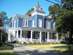
Block
From the record
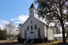
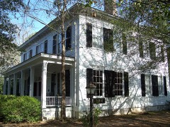
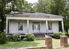
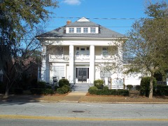
44 National Register listings published here, 1 of them a National Historic Landmark.
Sources: the National Register database, National Park Service
52 topographic sheets and 21 fire insurance atlases across 4 places.
44 National Register listings published here, 1 of them a National Historic Landmark.
Sources: the National Register database, National Park Service
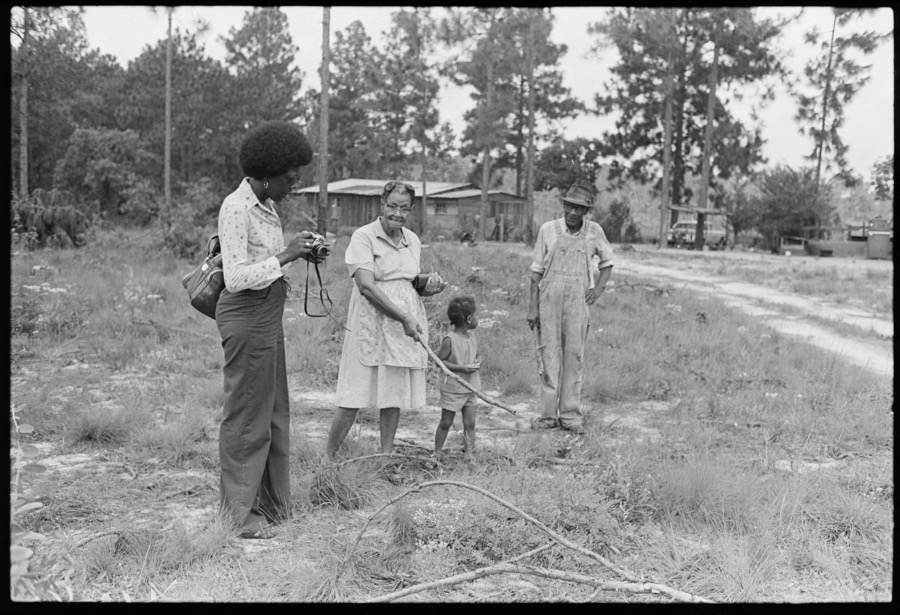
Taken for the Office of War Information and the Farm Security Administration, who photographed the country between 1935 and 1944. Works of United States government photographers, with no known restriction on use. Each opens its catalogue record.

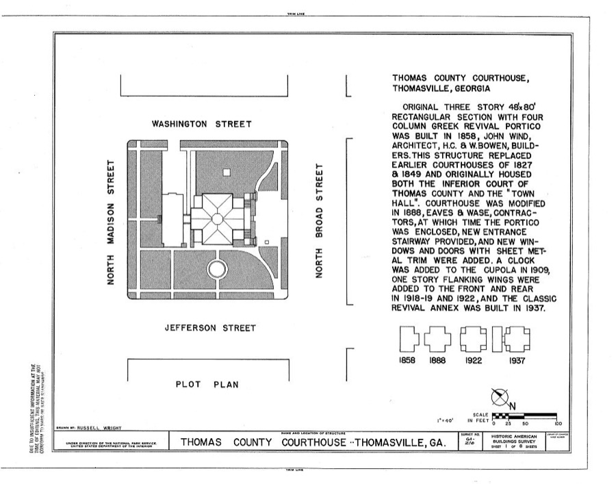
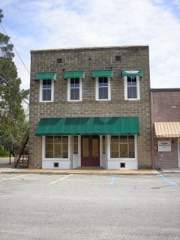
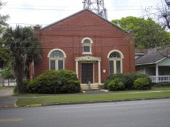
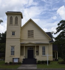
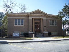
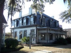
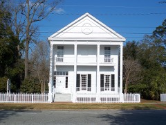
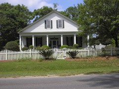
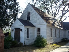
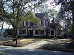
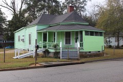
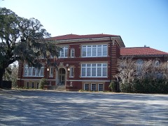
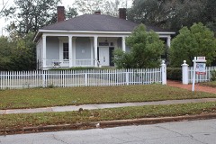
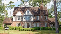
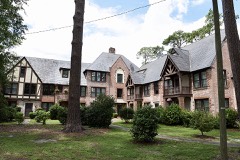
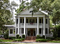
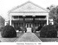
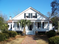
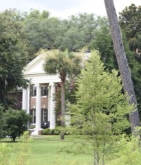
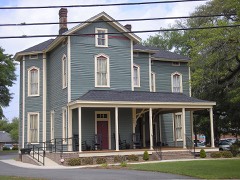
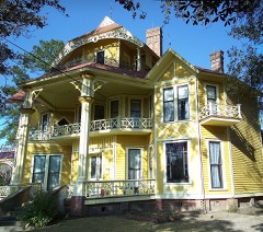
Every property in this county listed on the National Register of Historic Places, with the year it was listed and the federal nomination document.
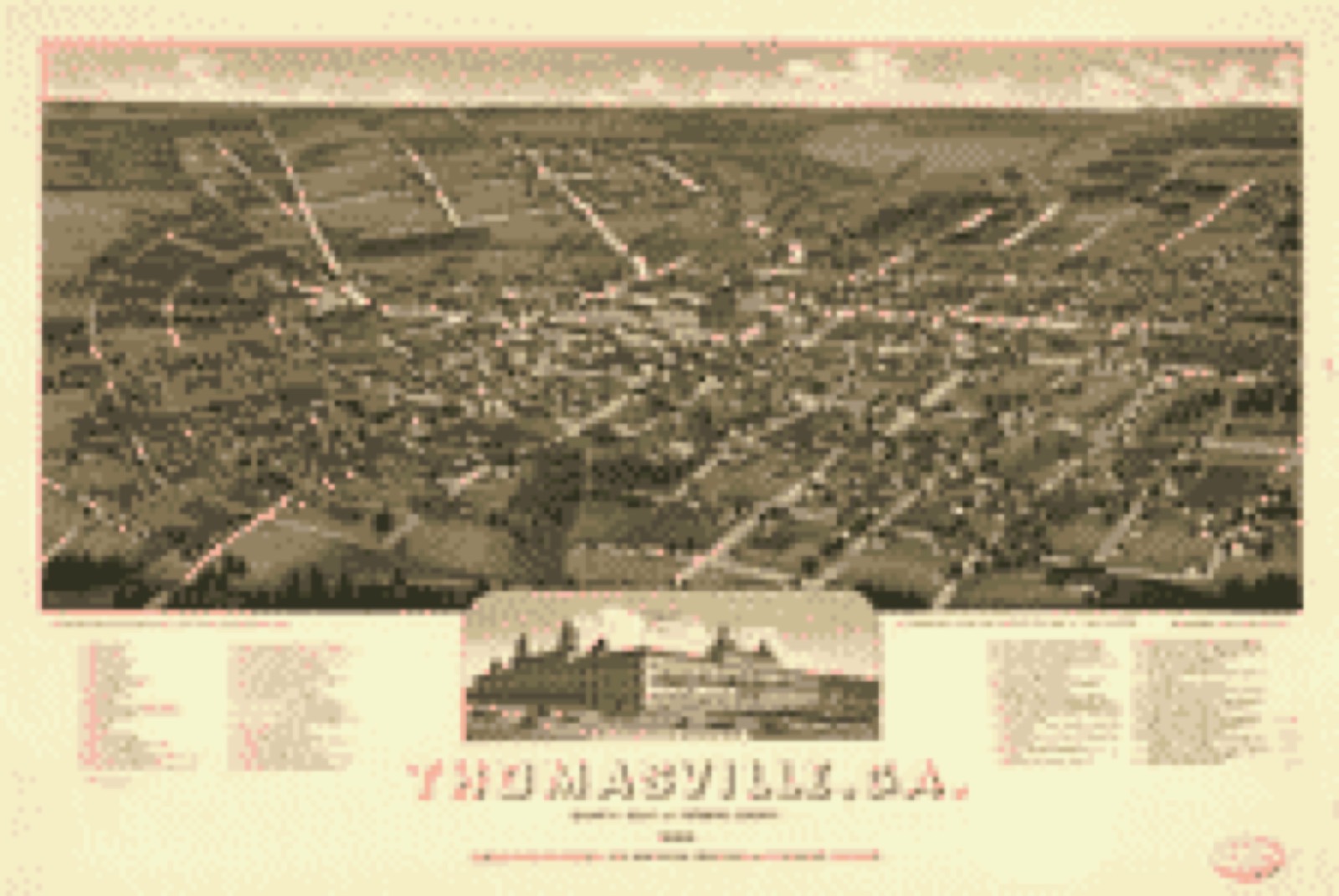
Drawn when these were printed as single large sheets: the town seen from the air, and the county divided into its farms with every owner named. Each opens the original at the Library of Congress.
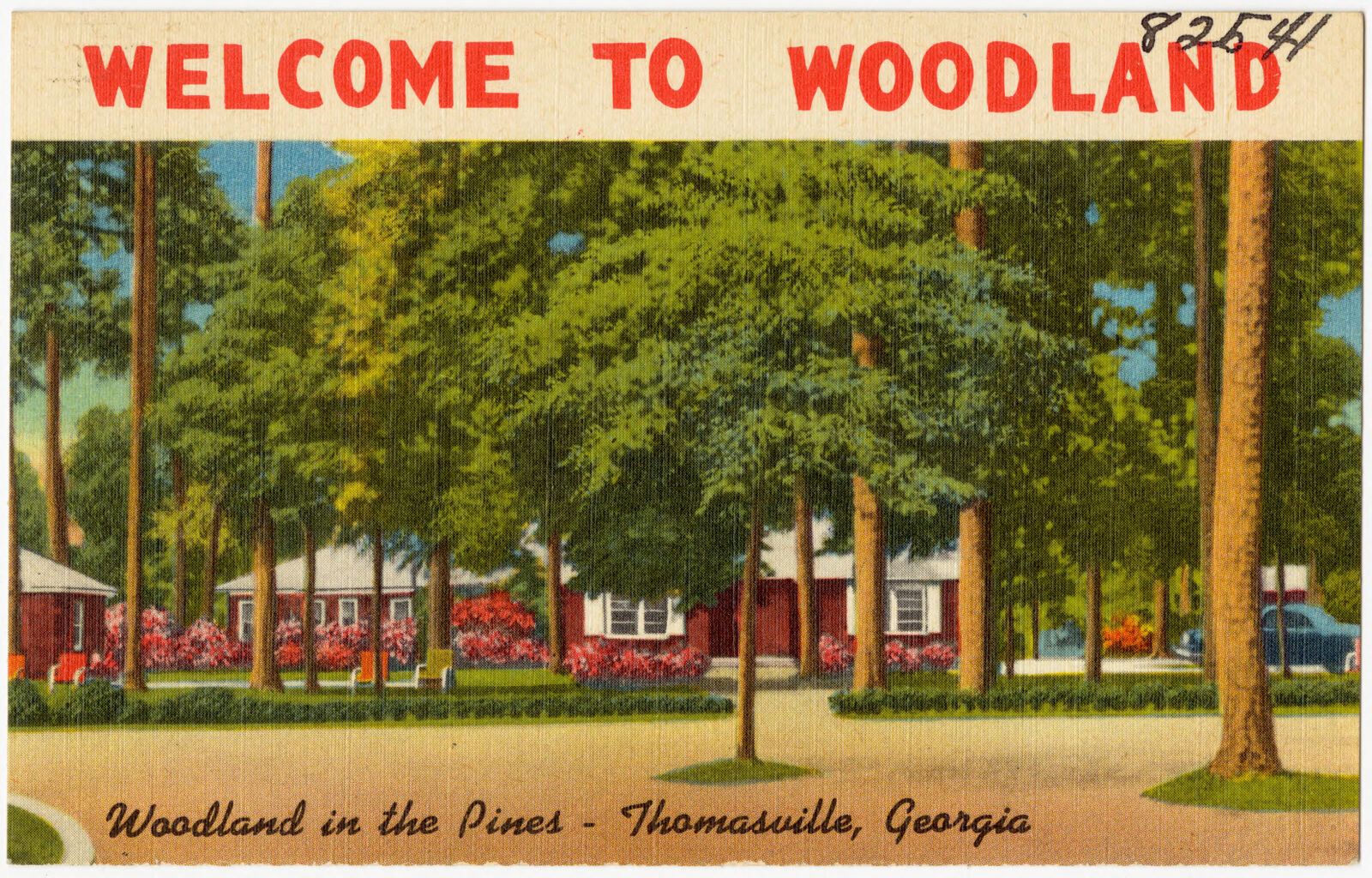
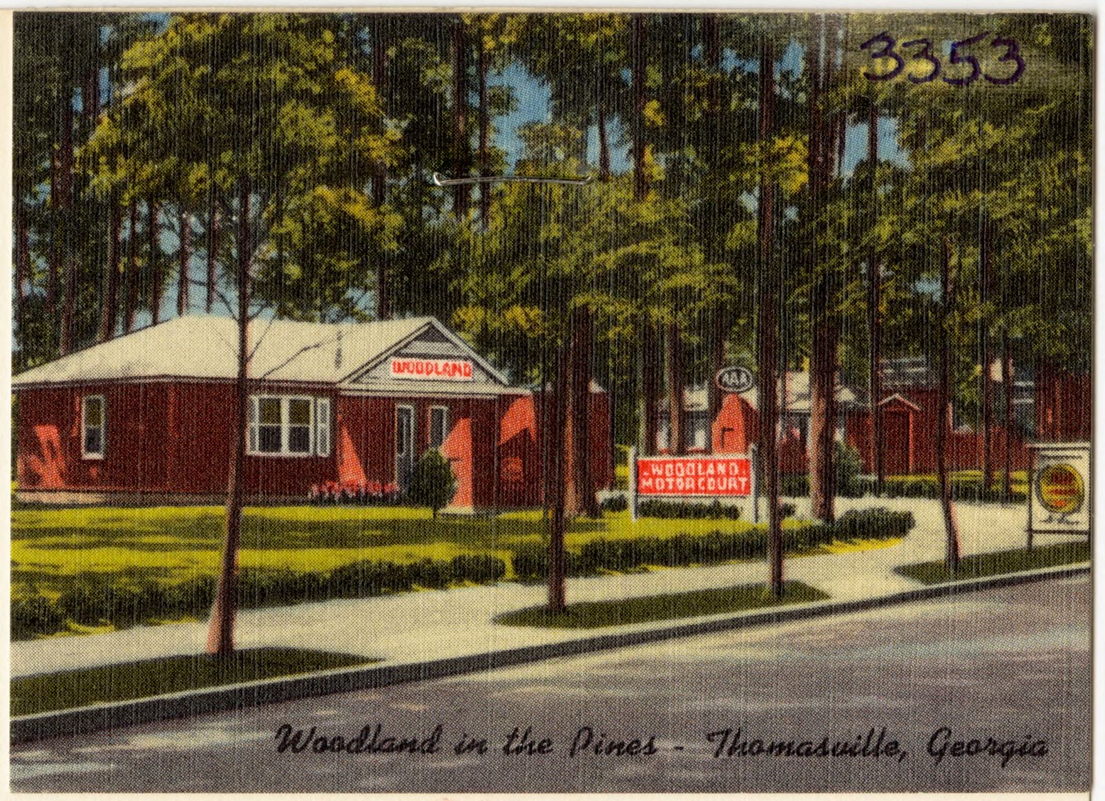
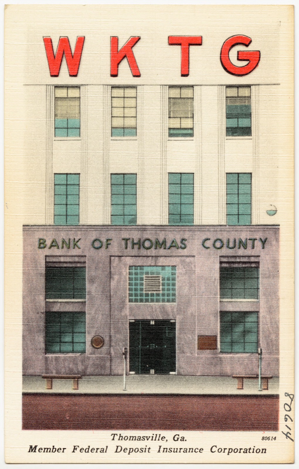
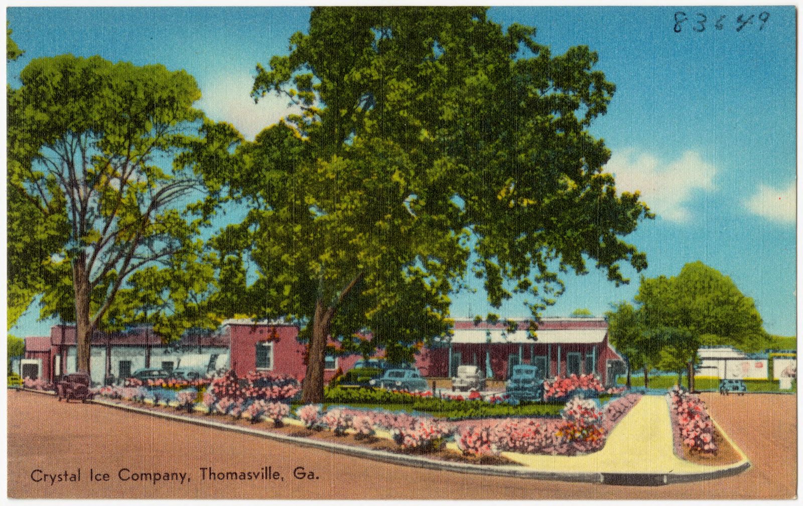
Selected from the Digital Public Library of America's 31 image records catalogued for this county. Every one shown here carries a public-domain status or a licence that permits reuse on a site that carries advertising; non-commercial, share-alike and restricted images are excluded. The selection is spread across the county's towns (at most eight per town), so no single institution's bulk upload crowds out the rest. Each opens the holding library's record, and the complete set at the Digital Public Library of America is one click away.






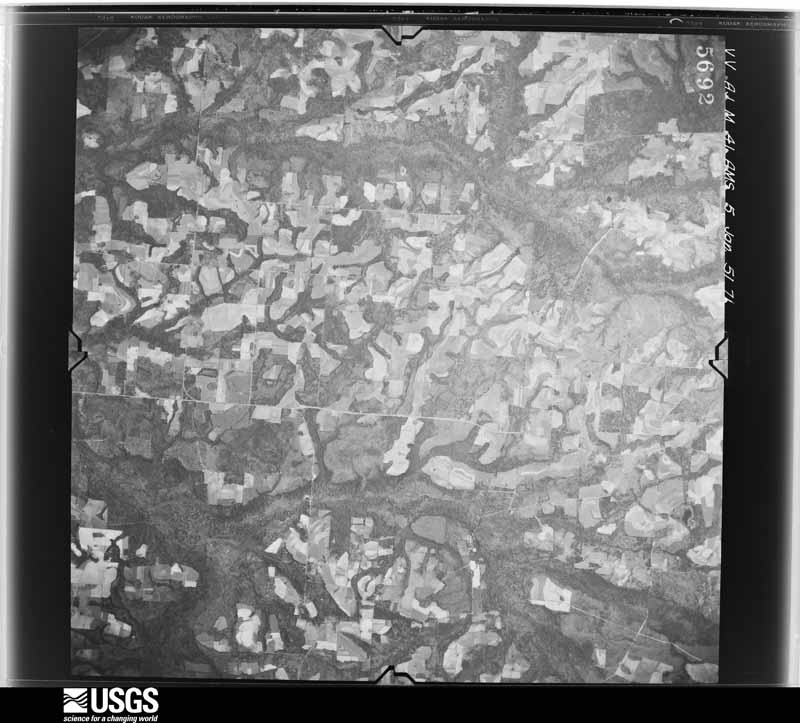
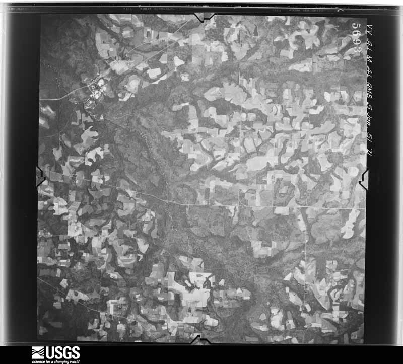
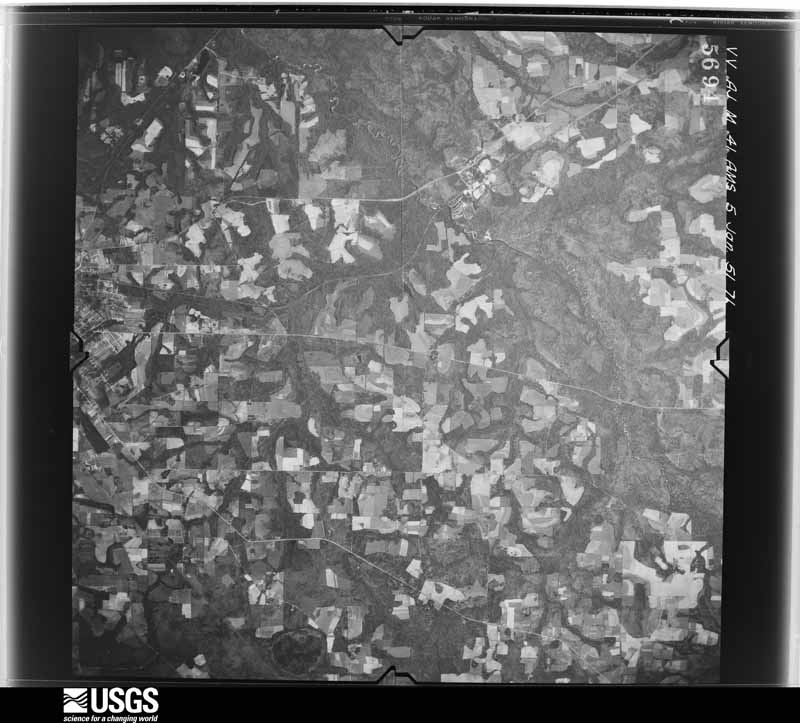
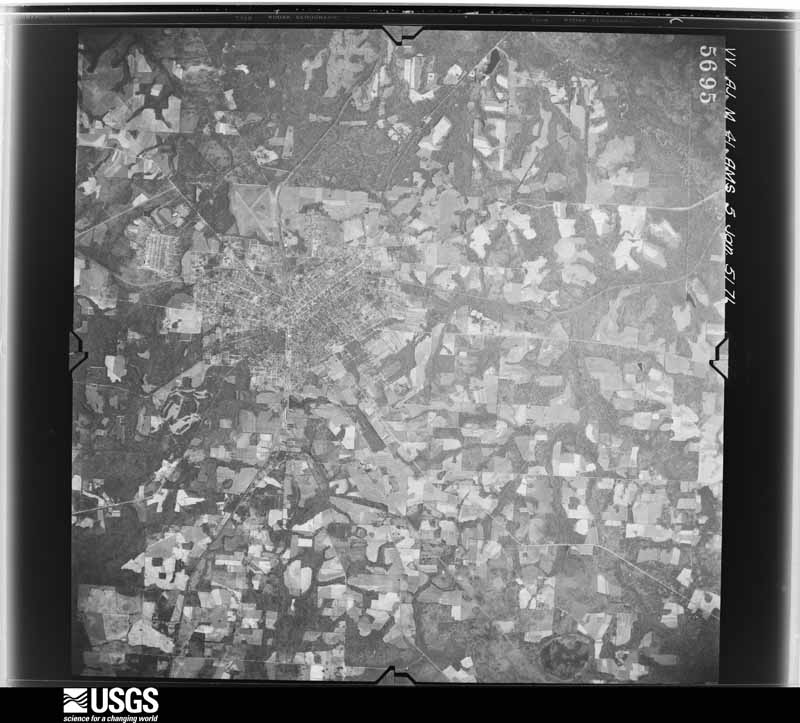
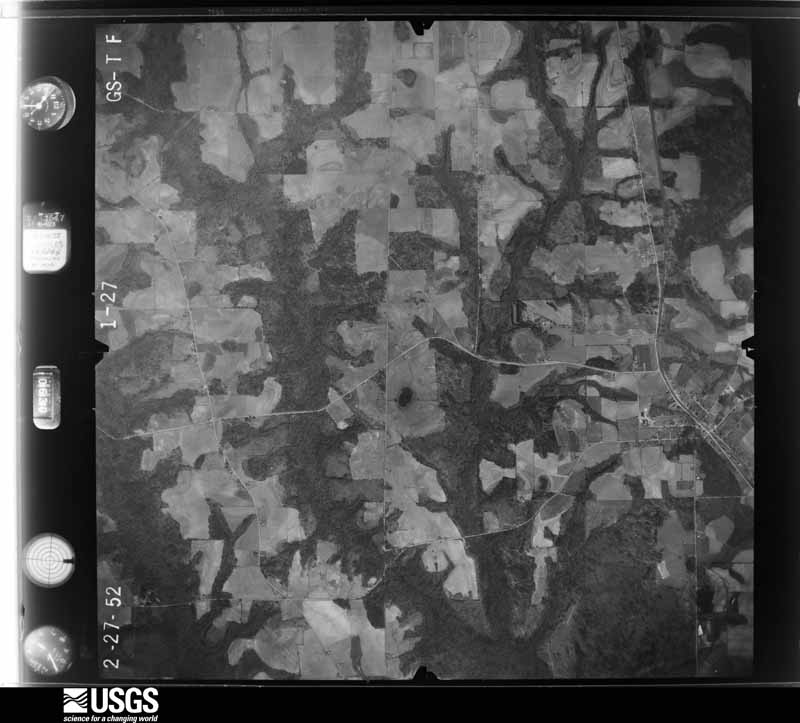
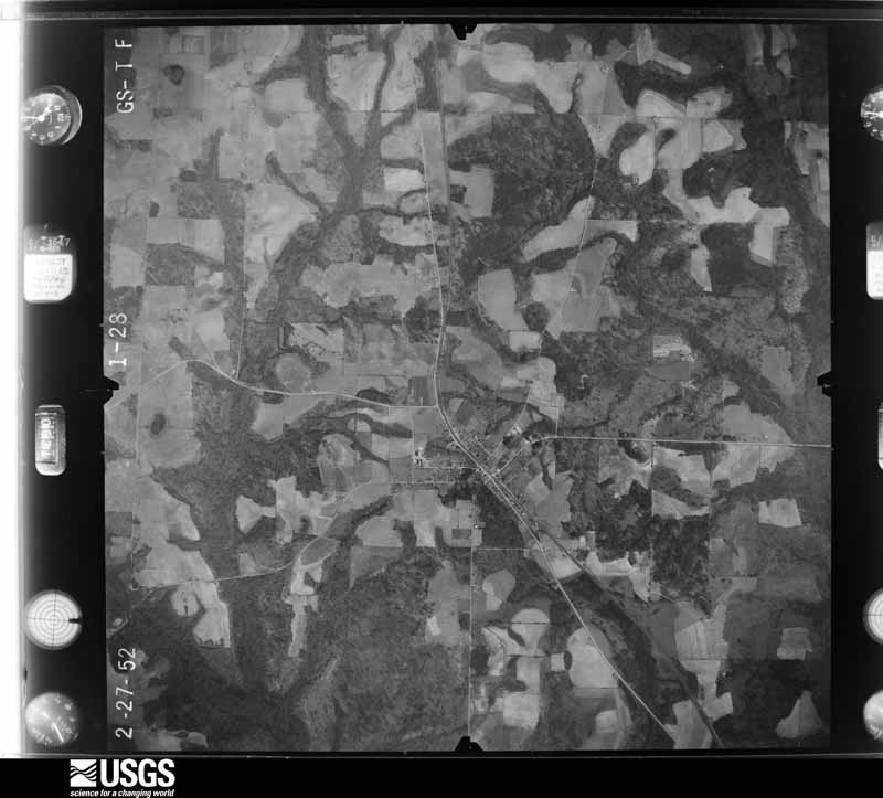
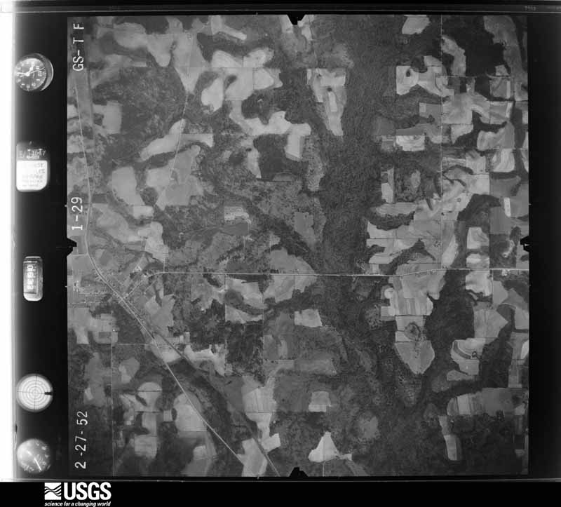
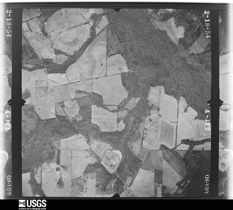
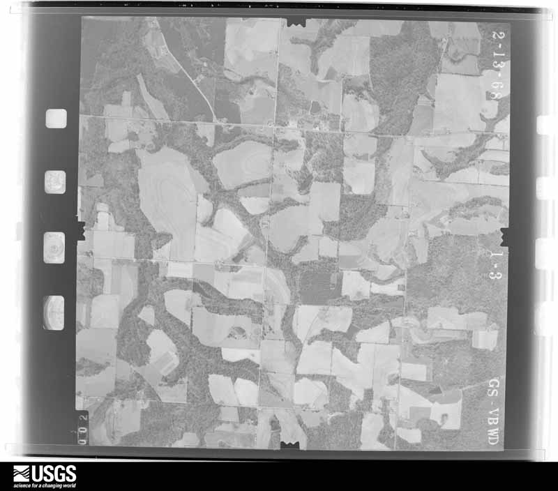
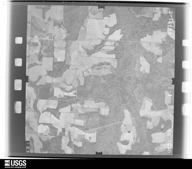
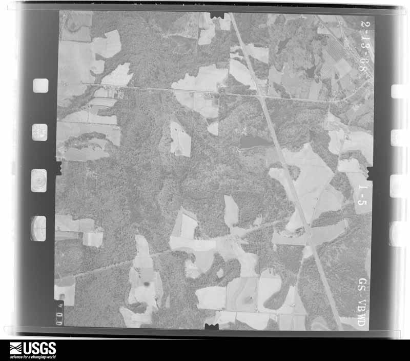
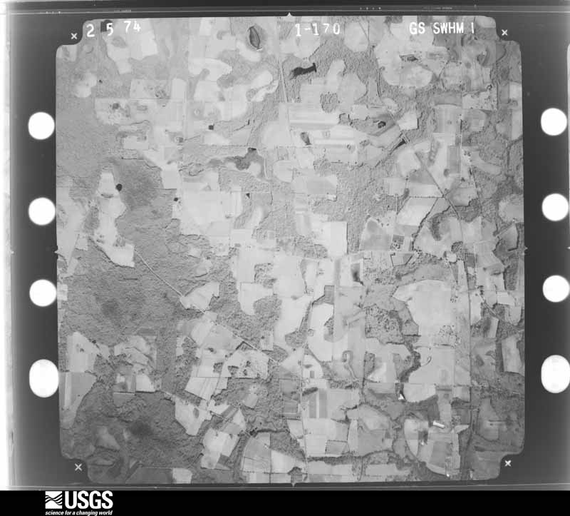
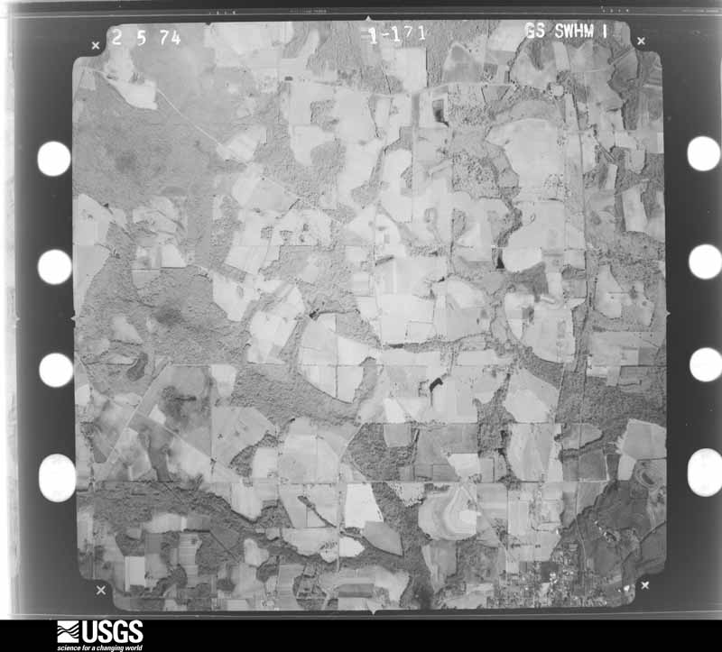
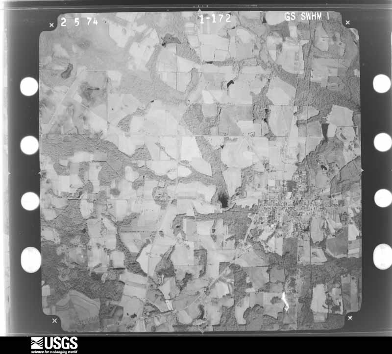
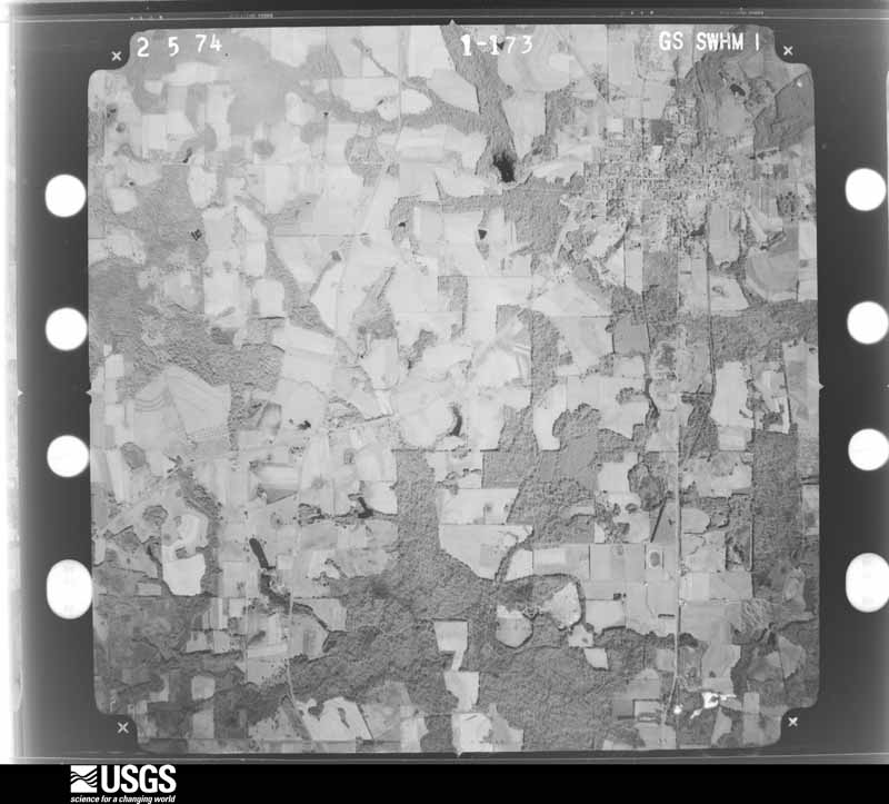
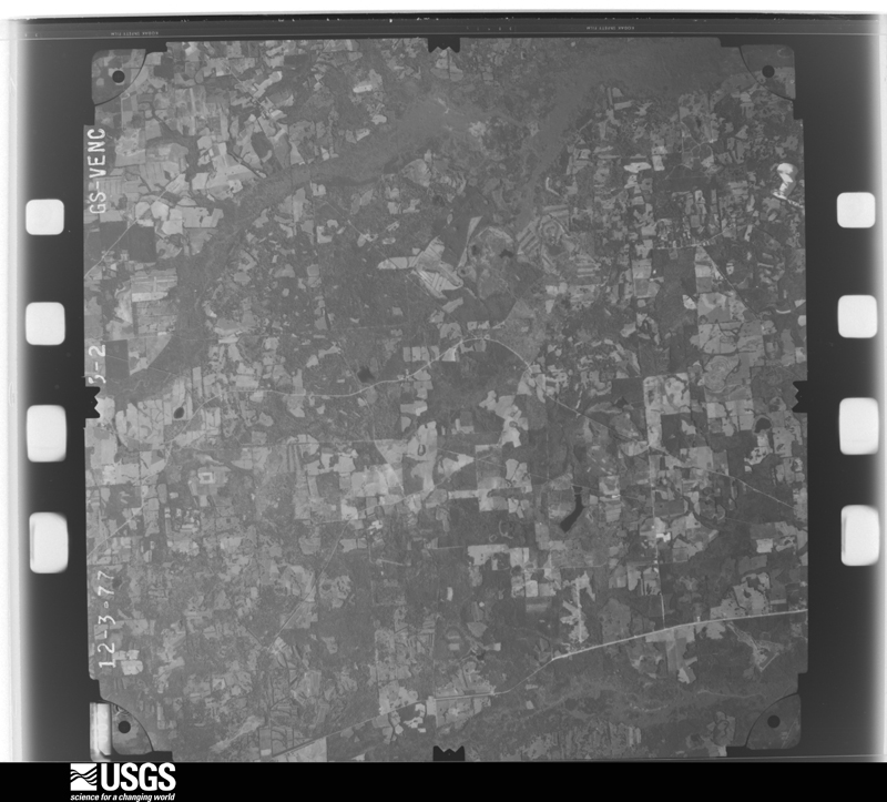
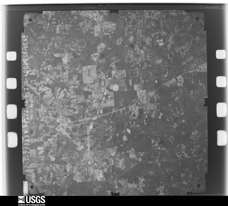
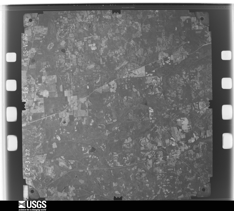
Flown by the U.S. Geological Survey between 1937 and 1989, the Aerial Photo Single Frames collection is the definitive mid-century view of the land: fields, roads and rivers as the camera saw them. The Survey holds 765 frames inside the rectangle that bounds this county; the 30 frames below were taken over the county itself, chosen across the decades of flights (at most four a year from that rectangle), so one flight cannot crowd out the rest. The full set is free to browse and download at EarthExplorer under the dataset Aerial Photo Single Frames.

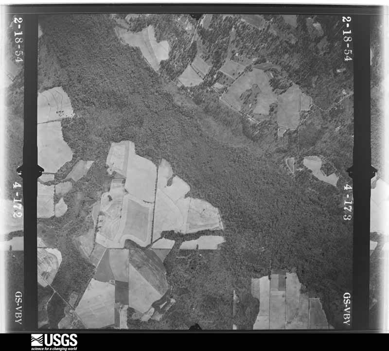
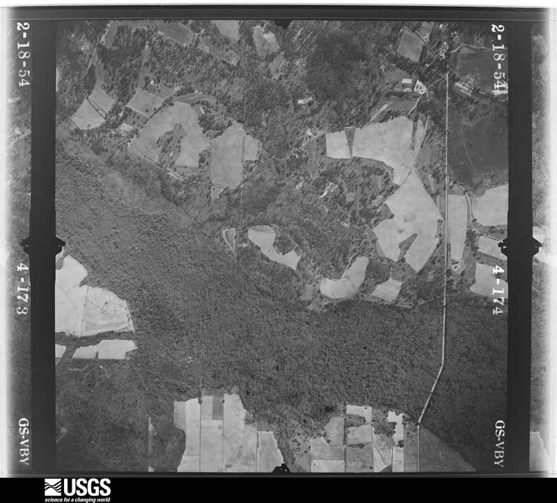
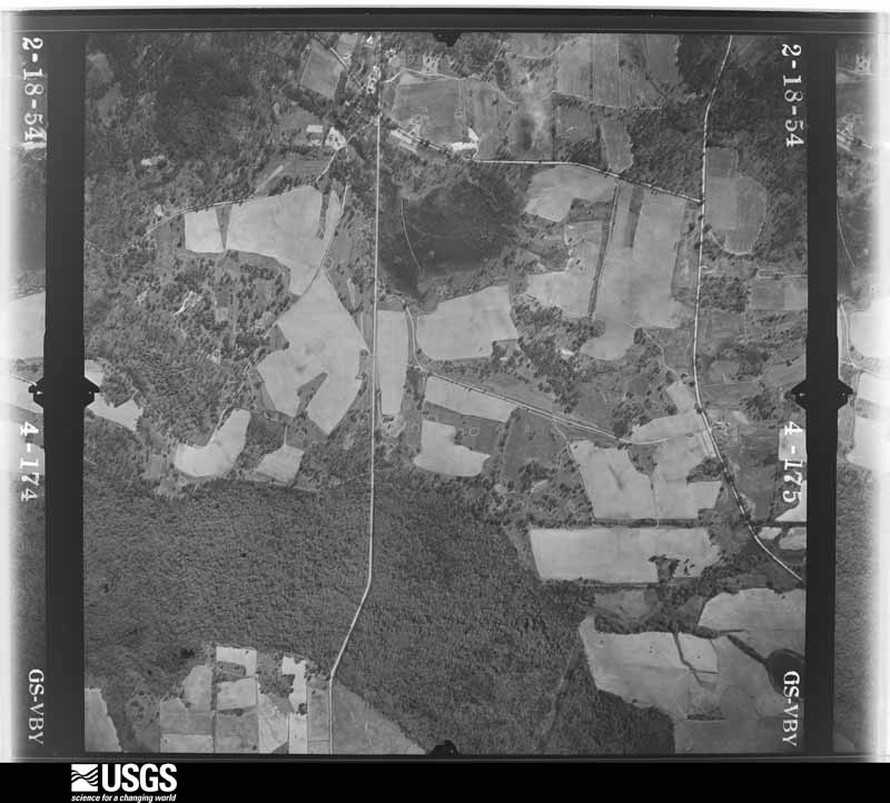
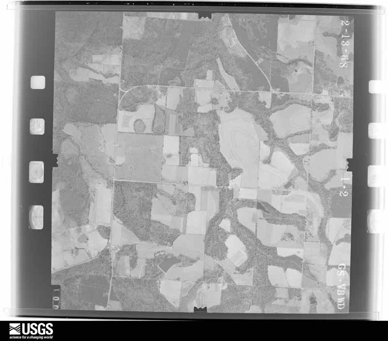







The thermometers that kept this county's weather, and the gages that measured the flow of its streams, as the federal records hold them. The extremes below are measured values from those records, not estimates.
Who lived here in 1950, one enumeration district at a time, as the Census Bureau described each district. Each row opens its official National Archives result, with Population Schedules and ED Maps available there.
Every wildfire the federal occurrence database records inside this county: 1,496 of them, burning about 5,973 acres. 20 started naturally and 193 were recorded as arson. Each settlement page carries the fires within five miles of it.
| Reported cause | Fires |
|---|---|
| Debris and open burning | 984 |
| Arson/incendiarism | 193 |
| Equipment and vehicle use | 109 |
| Railroad operations and maintenance | 71 |
| Misuse of fire by a minor | 38 |
| Recreation and ceremony | 35 |
| Missing data/not specified/undetermined | 25 |
| Smoking | 21 |
| Natural | 20 |
The five largest, by the area the report gives. One of them was set deliberately.
| Date | Cause | Size | Reported by | Name on the report |
|---|---|---|---|---|
| 26 February 2017 | Debris and open burning | 174 acres | Georgia Forestry Commission | FY2017-THOMAS-023 |
| 10 March 1993 | Debris and open burning | 120 acres | Georgia Forestry Commission | not named |
| 9 March 2001 | Railroad operations and maintenance | 99 acres | Georgia Forestry Commission | FY2001-THOMAS-054 |
| 21 April 2000 | Debris and open burning | 86 acres | Georgia Forestry Commission | FY2000-THOMAS-113 |
| 24 March 2011 | Debris and open burning | 85 acres | Georgia Forestry Commission | FY2011-THOMAS-079 |
| 10 March 2009 | Arson/incendiarism | 83 acres | Georgia Forestry Commission | not named |
| 20 February 2016 | Debris and open burning | 82 acres | Georgia Forestry Commission | FY2016-THOMAS-012 |
| 18 November 2015 | Debris and open burning | 66 acres | Georgia Forestry Commission | FY2016-THOMAS-006 |
Every settlement page carries the fires within five miles of it - see the settlement index below.
The NOAA Storm Events Database holds 355 reports for this county, causing 1 death, 6 injuries and about $19,637,450 in recorded property damage. Each settlement page carries the reports that name it.
| Kind of event | Reports |
|---|---|
| Thunderstorm Wind | 227 |
| Hail | 43 |
| Flash Flood | 41 |
| Tornado | 20 |
| Heavy Rain | 12 |
| Lightning | 5 |
| Flood | 5 |
| Funnel Cloud | 2 |
The most serious of them, by death, then injury, then recorded damage. The accounts are quoted exactly as the forecast office filed them.
| When | Event | Place named | Harm | What the report says |
|---|---|---|---|---|
| August 1999 | Lightning | Thomasville | 1 killed | A Valdosta State University student-athlete was struck and killed by lightning while pitching during a baseball game. |
| January 2017 | Tornado (EF2) | Pasco | 3 hurt, $250,000 | This tornado was the first of two produced by the same thunderstorm that moved across South Georgia early Sunday morning. The tornado initially touched down just west of US-19 in Thomas County and then moved NE across mainly rural areas of the county. Damage was initially limited in the vicinity of US-19 to snapped and uprooted pine trees. The tornado began to strengthen and produced more significant damage near the vicinity of Crowley and Hall Roads where a home lost a significant amount of roof deck and numerous large trees were snapped and uprooted. Damage in this area was consistent with higher end EF-1 to lower end EF-2 intensity. As the tornado neared US-319 north of Thomasville, extensive areas of snapped pine trees were found along the damage path in some areas several hundred yards wide. Also in the vicinity was a mobile home that was completely destroyed. Damage in this area was consistent with lower end EF-2 intensity. The tornado continued across mainly rural NE Thomas County crossing Centennial Road where a double-wide mobile home was completely destroyed. Damage in this area was consistent with a EF-2 tornado. After this point, damage was mainly limited to significant tree damage along the path, though some structural damage occurred to the NW of Pavo before the tornado crossed into NW Brooks County. Damage along this section of the tornado was rated EF-1. Max winds for the tornado were estimated near 120 mph. Damage cost was estimated. |
| June 2012 | Flash Flood | Homestead Park | 1 hurt, $750,000 | Significant flash flooding occurred in Thomasville. Between 5 and 8 roads were closed in Thomasville due to high water with cars submerged in many areas. Water was up to the car bumpers on Walcott and Young Streets with some basements flooding as well. The Days Inn located near the intersection of the Thomasville Bypass and E Jackson Street had water in the first floor rooms with a water mark around 2 feet high. Radar estimates and rain gauge measurements indicate that between 5 and 7 inches of rain fell in around a 3 hour period with over 4 inches of rain falling in just one hour northwest of town. A 12 year old boy was sucked into a manhole on Remington Avenue and required hospitalization. Monetary damage was estimated. |
| November 1995 | Tornado (F1) | Thomasville | 1 hurt, $50,000 | A brief tornado blew numerous trees down across GA 202 just south of U.S. 84 in Thomasville. One mobile home was totalled and one car was struck by a tree causing injury to the passenger. |
| December 2014 | Thunderstorm Wind | Thomasville | 1 hurt, $15,000 | Multiple trees were blown down across the county. One tree fell on a car and injured the woman inside. Monetary damage was estimated. |
| February 2009 | Tornado (EF2) | Homestead Park | $10,000,000 | The tornado crossed from adjacent Grady County into Thomas County along Lower Cairo Road where it caused extensive damage to a pine forest plantation. Three homes on the south side of the tornado's path were damaged, with one home losing part of its roof. A barn and two garages were damaged or destroyed. Along its path toward U.S. Highway 319 and Cindy Road, numerous pine trees were snapped or uprooted and fell on homes. Brookwood School and its grounds sustained significant damage, including a hole in the roof of the main building. The tornado crossed U.S. Highway 319 near Metcalf Road and moved toward the Southwest Georgia State Hospital just south of Pinetree Boulevard. It snapped more pine trees and removed two air conditioning units from the roof of one of the hospital buildings. Another hospital building was heavily damaged. The tornado began to weaken as it approached U.S. Highway 19 south of Glen Arven Country Club, and crossed U.S. Highway 19 just south of Sunset Drive. Damage in this area was limited to power lines and a few trees. Before lifting, the tornado moved across County Farm Road at the Thomas County Landfill, where a storage building was damaged with debris blown several hundred yards. According to the Thomas County Emergency Management Agency, nine mobile homes were destroyed, 29 single family homes were destroyed, and a total of 170 structures were damaged. About 4,200 residents were without power. The Governor declared a state of emergency in Thomas County. |
| November 1979 | Tornado (F2) | not stated | $2,500,000 | no account filed |
| August 2008 | Flash Flood | Everett | $1,500,000 | Many roads and low lying areas were flooded, including Thomasville and surrounding areas. U.S. Highway 84 was closed to flood waters near the Grady County line. Four vehicles passed Georgia State Patrol barricades and were swept away into Barnett's Creek. All six occupants were rescued. A dozen homes in the Plantation Woods subdivision near Thomasville were flooded. Rainfall amounts ranged from eight inches in northeast Thomas County, to as much as two feet across southern Thomas County, including Thomasville. |
| January 1995 | Hail | Thomasville | $650,000 | Numerous reports of hail ranging from 1.75 to 4.00 inches. Several cars were damaged. Hail also knocked down tree branches and power lines. In addition, broken windows were reported in several homes. |
| February 2000 | Tornado (F3) | Meigs | $500,000 | A strong tornado moved from the northeast corner of Grady County into extreme northwest Thomas County near Meigs. A few homes were damaged with numerous downed trees and power lines. Reported by the Thomas County EMA. |
| June 2000 | Thunderstorm Wind | Countywide | $500,000 | A severe thunderstorm downed numerous trees and power lines. Several homes and vehicles were damaged by fallen trees and limbs in Thomasville. Power outages affected more than 6,000 residences. Lightning struck several trees setting them ablaze in Thomasville. Numerous roads and intersections in and around Thomasville were blocked by fallen debris. Reported by the Thomas County EMA and SKYWARN storm spotter. |
| June 1994 | Thunderstorm Wind | Thomasville | $500,000 | Numerous reports of flooding up to four feet deep in the city of Thomasville. One business and several vehicles were flooded from excessive rainfall. The area with most severe flooding was on Smith Ave. in Thomasville. |
| March 1993 | Thunderstorm Wind | Ochlocknee | $500,000 | Thunderstorm winds destroyed two mobile homes, several barns and downed several trees in and around Ochlocknee. One business had its roof removed and a couple of truck trailers were overturned. |
| September 1998 | Tornado (F1) | Coolidge | $450,000 | An F1 tornado touched down off Bayline Rd near Coolidge which uprooted trees and utility poles, damaged a camper and brick house, and destroyed the Patch Poultry Farm and its 45,000 chickens. |
| June 1999 | Flood | Thomasville | $150,000 | Thomas County EMA reported up to 10 inches of water covered numerous streets and roads in Thomasville as slow-moving thunderstorms produced up to 8 inches of rain between 7 am and noon. Seven homes on Passmore St had up to six inches of water inside and six families were placed in a Red Cross temporary emergency shelter. |
| February 2024 | Tornado (EF1) | Everett | $100,000 | An EF1 tornado with peak winds estimated at 100 mph briefly touched down in southeastern Thomas County near the intersection of Scott Rd and Scott Plantation Road immediately adjacent to Seminole Plantation. The tornado crossed Scott Road and moved into Seminole Plantation where there were numerous large pine trees uprooted or snapped near the entrance to the plantation. Within the plantation, one structure was damaged from an uprooted tree landing on a portion of the building. Several other cottages suffered some shingle loss, with one structure losing the bottom portion of the wood frame around the building and another having minor chimney damage. A couple of open air barns had damage, with one having a wall collapse and another being slightly shifted off its foundation. Beyond the structures, numerous large pine trees were uprooted or snapped. When the tornado was near peak intensity several large pine trees were snapped in close proximity with several very large pine trees uprooted. Tree damage was noted beyond reachable distance due to the downed trees blocking the path further into the woods. From surveying on the northwest side of the track along an accessible road, no additional damage was noted, and the tornado is presumed to have lifted before reaching B Green Road and Parramore Fish Pond Road. The National Weather Service in Tallahassee would like to thank the Thomas County Emergency Management Agency for their support in this survey. |
| April 2022 | Tornado (EF1) | Thomasville | $100,000 | This tornado in Thomasville touched down near Wood Lakes Rd and S Pinetree Blvd. The tornado uprooted or snapped numerous trees in Balfour Park, along with causing minor roof damage to a home in vicinity of the park. The tornado caused significant damage to one of the baseball fields used by Thomas University adjacent to Varnedoe Street. A large concrete wall, reinforced with rebar was completely knocked over. The tornado was then in intermittent contact with the ground while traveling through residential areas along and south of Persimmon Street. Some minor damage to roofs occurred in this area along with a few uprooted trees. The tornado crossed a large wooded area, emerging along Gordon Avenue and uprooting and snapping several large pines, with one impacting a home near the intersection of Gordon Avenue and Longleaf Drive. The tornado caused a large pine to impact a home on Evergreen Drive, with additional large trees snapped along Millpond Road before dissipating. This tornado was rated an EF1 with max winds estimated at 100 mph. |
| February 2009 | Tornado (EF3) | Eason | $100,000 | The same supercell which spawned the EF-2 tornado near Thomasville produced another tornado, which touched down along Five Forks Road about two miles north of U.S. Highway 84. Numerous trees were snapped or twisted. Many power lines were down and several county roads were impassible due to fallen debris. The tornado was rated an EF-3 based on the debarked trees on the east side of Salem Road. The tornado lifted before crossing State Road 33. |
| January 2000 | Thunderstorm Wind | Thomasville | $100,000 | Thunderstorm winds peeled a metal roof off the Central Middle School and set it on the ground. The Thomas County EM received numerous reports of downed trees, limbs and power lines on Pavo Rd, U.S. 19 South and County Rd 122 in Metcalf. A tree fell on a house in the Holly Springs subdivision off County Line Rd. |
| September 2000 | Flash Flood | Countywide | $100,000 | Up to six inches of rain in a 24-hour period caused localized flooding with several county roads closed to high water. Some residential areas reported minor flooding. A few large trees fell across roadways, causing isolated power outages and traffic delays. Reported by the Thomas County EMA. |
| March 2009 | Flood | Dawesville | $75,000 | Minor to moderate flooding along the Ochlockonee River affected three homes on Flamingo Road northwest of Thomasville. State Highway 3 and U.S. Highway 84 at Barnetts Creek were closed. |
| April 2022 | Tornado (EF1) | Barwick | $50,000 | This tornado touched down just west of GA Highway 33 in Thomas County south of Barwick. The tornado crossed the highway and impacted a single family home causing roof and chimney damage to the residence. One barn was destroyed on site and another was heavily damaged. Homes directly east of the initial residence had only cosmetic damage, though large pecan trees were uprooted and snapped. The tornado crossed Dixie Barwick Road southeast of Barwick where numerous trees in the area were snapped or uprooted. The tornado continued through rural portions of the county, damaging a barn south of Barwick Road. The tornado crossed Moore Road and caused substantial tree damage with several large pines snapped. An abandoned residence in the area suffered damage from fallen trees. The tornado crossed Barwick Road near Coffee Road and continued causing significant tree damage around a residence on Coffee Road. An outbuilding at this residence suffered structural damage. The tornado continued along Coffee Road, eventually lifting in the vicinity of Tallokas Road south of Willis Road. |
| June 2016 | Thunderstorm Wind | Dawesville | $50,000 | Several trees and power lines were blown down across the county. There were also large trees blown down in Thomasville with at least one landing on a house as posted on social media. Damage was estimated. |
| February 2008 | Thunderstorm Wind | Thomasville | $50,000 | Several trees were blown down across the northern half of the county. An old barn was destroyed. Straight line wind damage was confined within this storm. In the northeast part of the county near Patten, two sheds were destroyed. One small grain silo was destroyed, with the debris strewn 200 yards. Phone lines were knocked out, with 200 homes without power. |
| December 2002 | Thunderstorm Wind | Countywide | $50,000 | A home was damaged, as well as numerous downed trees and power lines. A large portion of Thomasville was without power for several hours. Reported by GEMA. |
| July 2002 | Thunderstorm Wind | Southeast Portion | $50,000 | Two homes were damaged by fallen trees. Numerous downed trees and power lines with several county roads blocked by debris. Reported by the Thomas County EMA. |
| January 2002 | Thunderstorm Wind | Thomasville | $35,000 | Numerous downed trees and power lines. A few businesses sustained minor roof damage. Some trees were set ablaze by downed live wires. Reported by the Thomas County EMA. |
| June 2010 | Thunderstorm Wind | Thomasville Municipal Arpt | $30,000 | Roofing material was torn off of one building with damage to multiple hangars at the airport. The monetary damage figure provided is a rough estimate. |
| April 1982 | Tornado (F1) | not stated | $25,000 | no account filed |
| April 1982 | Tornado (F1) | not stated | $25,000 | no account filed |
| June 2015 | Thunderstorm Wind | Thomasville | $20,000 | A tree was blown down onto a vehicle in Thomasville. |
| July 2014 | Thunderstorm Wind | Homestead Park | $20,000 | A large tree fell in a car on Lansing Street. This report was received via Twitter from WALB-TV. |
| April 2011 | Thunderstorm Wind | Homestead Park | $20,000 | Trees, power lines, and power poles were blown down across the county. The monetary damage figure provided is a rough estimate. |
| April 2011 | Thunderstorm Wind | Merrillville | $20,000 | Numerous trees were reported down just east of U.S. Highway 319 in Thomas county near the community of Merrillville. One old barn collapsed with only minor damage to other structures. The damage was consistent with straight line winds with a maximum width approaching one half mile. The monetary damage figure provided is a rough estimate. |
| August 2006 | Thunderstorm Wind | Countywide | $15,000 | The Thomas County Sheriff reported numerous trees and utility poles down throughout the county. |
| September 2002 | Flash Flood | Countywide | $15,000 | Up to four inches of rain caused some minor rural and urban flooding. In Thomasville, gusty winds and saturated grounds downed some trees into power lines, which blocked streets and disrupted power. Reported by the Thomasville Times Enterprise. |
| February 2017 | Thunderstorm Wind | Coolidge | $10,000 | Numerous trees and power lines were blown down in the Coolidge area. |
| March 2012 | Flash Flood | Pasco | $10,000 | McDonald Road from U.S. Highway 319 North across to Hall Road was washed out and closed due to excessive rainfall of several inches in a short period of time. This was reported initially by the public on the WCTV web page and later verified by Thomas county dispatch. Monetary damage was estimated. |
| June 2003 | Lightning | Boston | $10,000 | Lightning damaged the dome of a local church. Reported by the Thomasville Times. |
| March 2001 | Tornado (F0) | Thomasville Muni Arp | $10,000 | An F0 tornado touched down along Highway 122 and raced northeast toward Pavo in extreme northwest Brooks County. The tornado uprooted trees and downed power lines along its intermittent damage path. Reported by a SKYWARN storm spotter. |
| June 1998 | Thunderstorm Wind | Countywide | $10,000 | Numerous trees and power lines down in Thomasville and northern portion of county. |
| April 2023 | Tornado (EF1) | Pasco | $5,000 | The same parent circulation that produced the tornado near Greenwood Plantation produced a second tornado which appears to have first touched down in the Holly Springs neighborhood. Damage was minimal with minor impacts to trees. The tornado remained very weak as it moved northeastward before intensifying near Egg and Butter Road. Numerous trees were snapped and uprooted at this location consistent with an EF-1 tornado with winds of approximately 90 mph. Damage to a barn was caused by falling trees. The tornado dissipated as it crossed Fredonia Road. Thanks to Thomas County EMA for assistance with the damage survey. |
| January 2017 | Thunderstorm Wind | Coolidge | $5,000 | Power lines were blown down in Coolidge. |
| July 2016 | Thunderstorm Wind | Dawesville | $5,000 | Numerous trees and power lines were blown down across Thomas county, starting along Highway 19 near Ochlocknee. |
| June 2015 | Thunderstorm Wind | Pasco | $5,000 | Several trees were blown down just north of Thomasville with numerous power lines also down. |
| May 2012 | Thunderstorm Wind | Thomasville | $5,000 | A tree was blown down onto a residence on Raleigh Avenue in Thomasville. Monetary damage was estimated. |
| May 2012 | Thunderstorm Wind | Homestead Park | $5,000 | A tree was blown down onto a residence on Crawford Street in Thomasville. Monetary damage was estimated. |
| August 2011 | Thunderstorm Wind | Metcalf | $5,000 | Numerous trees were blown down near the intersection of Metcalf Road and Horne Cemetery Road. The monetary damage figure provided is a rough estimate. |
| March 2005 | Thunderstorm Wind | Countywide | $5,000 | Numerous downed trees and power lines reported by Thomas County 911. |
| January 2001 | Thunderstorm Wind | Thomasville | $5,000 | Numerous trees and power lines down. Reported by the Thomas County EMA. |
| July 2000 | Thunderstorm Wind | Thomasville | $5,000 | A toppled tree tore electric lines from a house on Peach Street and another tree fell onto electric lines on Remington Avenue. |
| February 1998 | Lightning | Metcalf | $5,000 | Lightning struk a mobile home igniting several small fires inside the home. An adjoining word porch was set ablaze as the current blasted a twelve-inch hole in the floor. |
| June 1994 | Thunderstorm Wind | Thomasville | $5,000 | Numerous trees and power lines were downed straight line thunderstorm winds along U.S. Highway 19, seven miles south of Thomasville. |
| August 1994 | Thunderstorm Wind | Thomasville | $5,000 | Thunderstorm winds downed six large oak trees along U.S. Highway 19. |
| October 1994 | Thunderstorm Wind | Thomasville | $5,000 | A sheriff reported numerous tree limbs and power lines were downed. |
| January 2024 | Thunderstorm Wind | Coolidge | $3,000 | Tree limbs were blown down with shingles blown off. |
| December 2023 | Thunderstorm Wind | Thomasville | $3,000 | Pictures were posted on social media of trees and power lines down along Old Monticello Road in the Thomasville area. |
| July 2021 | Thunderstorm Wind | Hollis | $3,000 | Trees and power lines were blown down at Harts Mill and Parrish Road in the Pavo area. |
| July 2021 | Thunderstorm Wind | Thomasville | $3,000 | A tree was blown down at Old Monticello Road and Plantation Dr with power lines reported down in the same area. |
| July 2021 | Thunderstorm Wind | Thomasville | $3,000 | A tree was blown down at Magnolia Road near train tracks with power lines also down in the same area. |
The Survey's mineral resources record lists 10 workings inside this county. 6 still produce and 4 are closed or unrecorded. Each settlement page carries the workings within five miles of it.
| Commodity | Workings |
|---|---|
| Fullers Earth | 6 |
| Clay | 2 |
| Sand and Gravel, Construction | 1 |
| Feldspar | 1 |
The least common of them first, because a county's hundredth gravel pit says nothing its first ten did not.
| Where | Site | Commodity | Status | Recorded |
|---|---|---|---|---|
| Thomasville Mine | Sand and Gravel, Construction | Past Producer | ||
| Thomasville Mine & Plant | Feldspar | Producer | ||
| Meigs Mine | Clay | Producer | ||
| Simpson Mine & Mill | Clay | Plant | ||
| Cherokee Industries Ochlocknee Mine | Fullers Earth | Past Producer | ||
| Cooper Grover Mine | Fullers Earth | Producer | ||
| Ochlocknee | Fullers Earth | Past Producer | Montmorillonite, Attapulgite | |
| Smith Mine Pit A | Fullers Earth | Producer | ||
| Smith Mine Pit B | Fullers Earth | Producer | ||
| Waverly Mineral Products | Fullers Earth | Past Producer | Montmorillonite, Attapulgite |
Named settlements recorded in the Geographic Names Information System, each with the topographic sheets covering it. Villages, hamlets and abandoned places alike. Each is shown with the nearest named watercourse or landform and the survey quadrangle it falls on. The 4 places that were also surveyed for fire insurance come first, with the number of atlases and photographs held for them.
Boston census division · 31626 · On Masse Branch · Boston quadrangle
7 sheets, 1954 to 1981
Fire insurance: 6 atlases
Coolidge census division · 31738 · Coolidge quadrangle
9 sheets, 1953 to 1988
Fire insurance: 2 atlases
Meigs census division · 31765 · Meigs quadrangle
8 sheets, 1953 to 1981
Fire insurance: 4 atlases
Thomasville census division · 31792 · Thomasville quadrangle
8 sheets, 1954 to 1981
Fire insurance: 9 atlases
Boston census division · 31626 · Boston quadrangle
7 sheets, 1954 to 1981
No longer a settlement
Boston census division · 31626 · On Connell Creek · Monticello NE quadrangle
8 sheets, 1954 to 1981
No longer a settlement
Thomasville census division · 31792 · Thomasville quadrangle
8 sheets, 1954 to 1981
No longer a settlement
Thomasville census division · 31792 · On Bruces Branch · Thomasville quadrangle
8 sheets, 1954 to 1981
Ochlocknee census division · 31792 · On Bay Branch · Ochlocknee quadrangle
12 sheets, 1954 to 1988
Thomasville census division · 31757 · Thomasville quadrangle
8 sheets, 1954 to 1981
No longer a settlement
Thomasville census division · 31792 · Thomasville quadrangle
8 sheets, 1954 to 1981
Coolidge census division · 31757 · On Long Branch · Merrillville quadrangle
8 sheets, 1954 to 1981
Thomasville census division · 31792 · Pine Park quadrangle
12 sheets, 1954 to 1988
No longer a settlement
Thomasville census division · 31792 · On Oquina Creek · Merrillville quadrangle
8 sheets, 1954 to 1981
Thomasville census division · 31792 · On Wards Creek · Pine Park quadrangle
12 sheets, 1954 to 1988
Thomasville census division · 31792 · Metcalf quadrangle
8 sheets, 1954 to 1981
No longer a settlement
Thomasville census division · 31792 · On Wards Creek · Thomasville quadrangle
8 sheets, 1954 to 1981
Coolidge census division · 31757 · Merrillville quadrangle
8 sheets, 1954 to 1981
No longer a settlement
The vanished settlements of Thomas County: the places named above that are no longer on the map.
8 topographic sheets and 9 fire insurance atlases, 1885 to 1950
7 topographic sheets and 6 fire insurance atlases, 1898 to 1943
8 topographic sheets and 4 fire insurance atlases, 1909 to 1939
The complete index, with nothing left out. Each of these is a separate record with its own page: a federal survey report, or the case file that argued a property on to the National Register. Both are public domain and reproduced word for word.
The vanished settlements of Thomas County, the places these records name that are no longer on the map.