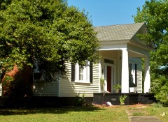
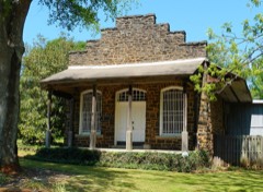
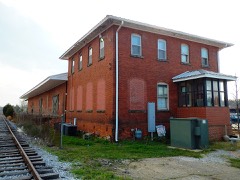
Block
From the record
35 National Register listings published here, 1 of them a National Historic Landmark.
Sources: the National Register database, National Park Service
58 topographic sheets and 23 fire insurance atlases across 3 places.
35 National Register listings published here, 1 of them a National Historic Landmark.
Sources: the National Register database, National Park Service
Taken for the Office of War Information and the Farm Security Administration, who photographed the country between 1935 and 1944. Works of United States government photographers, with no known restriction on use. Each opens its catalogue record.
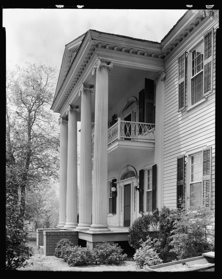
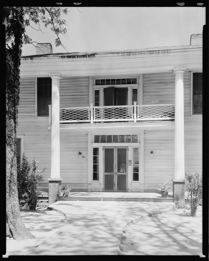

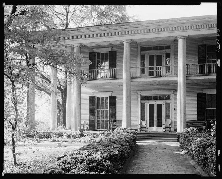


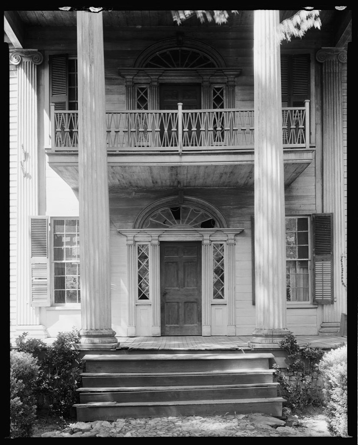
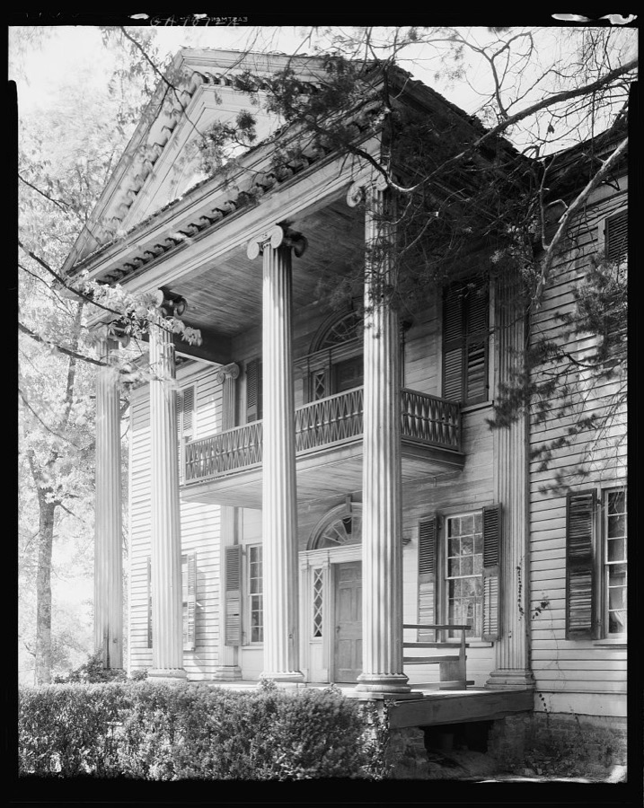
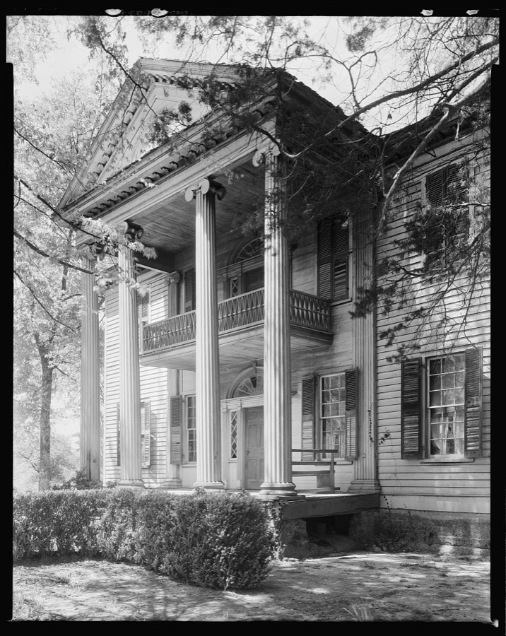
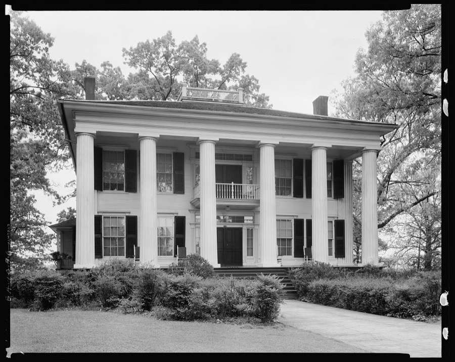
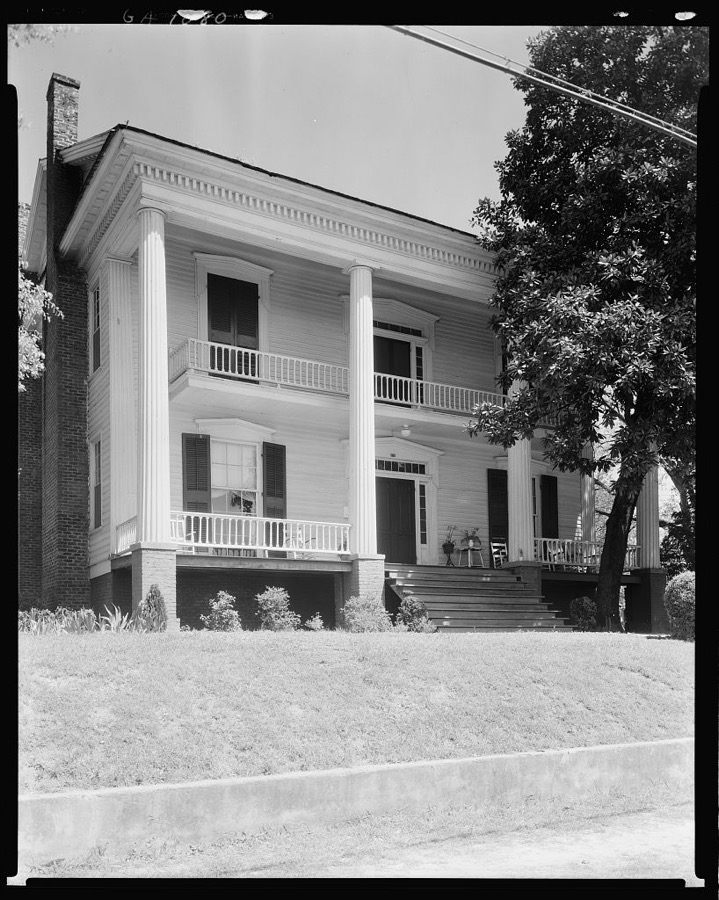
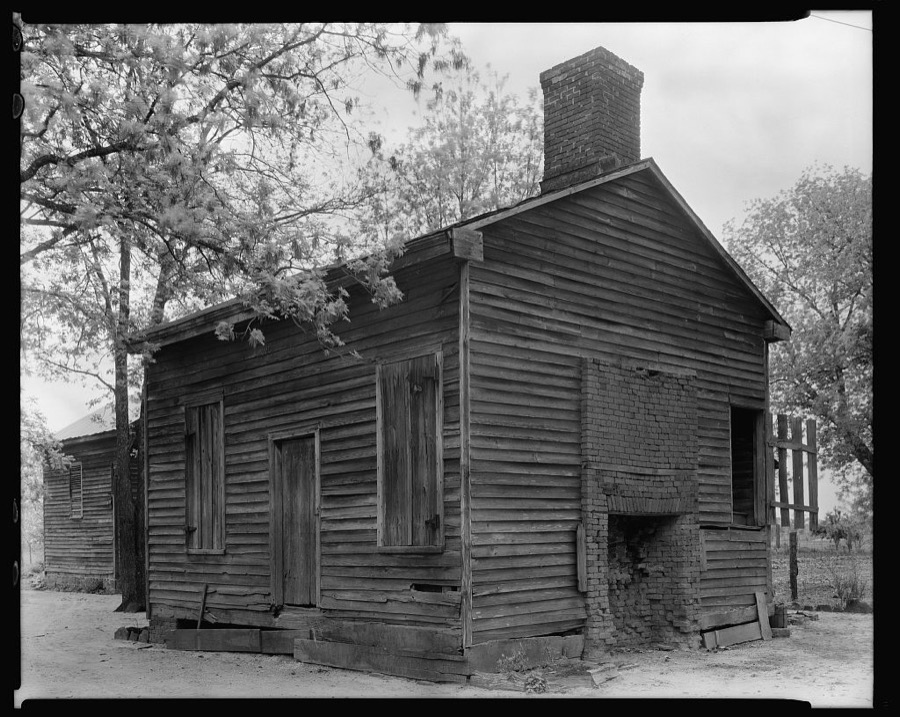

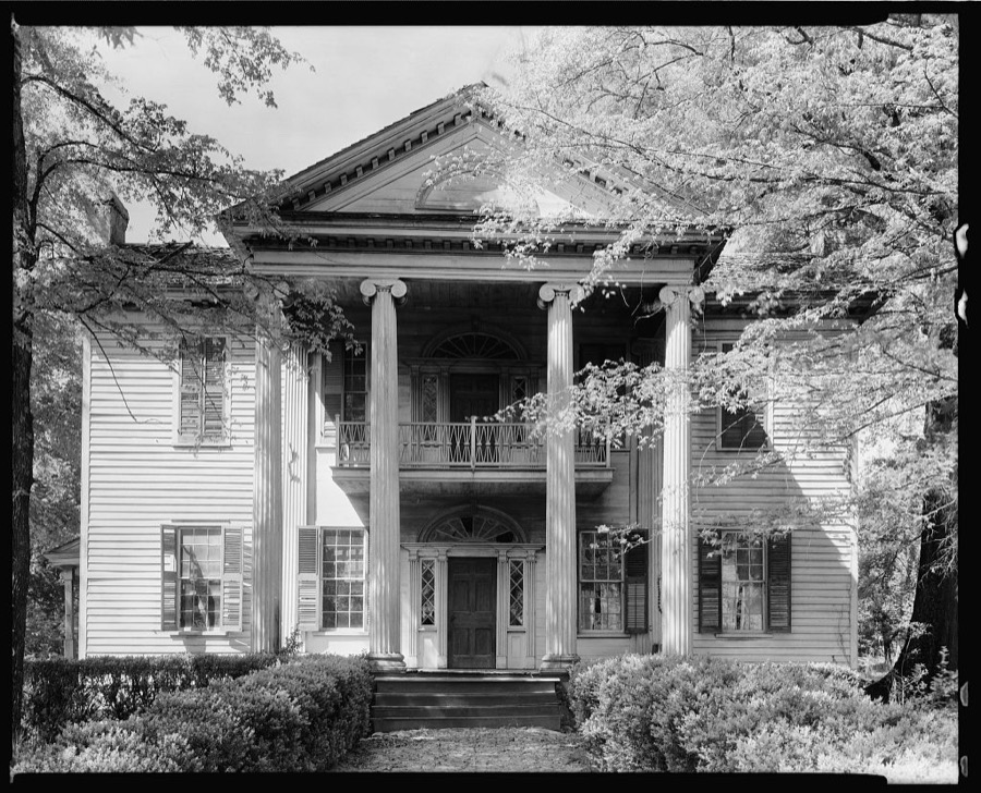


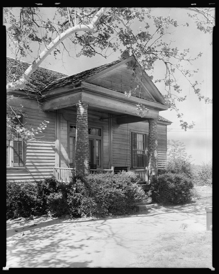
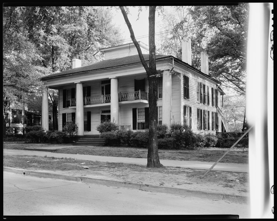
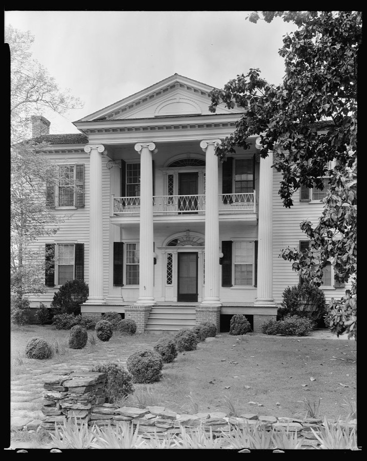
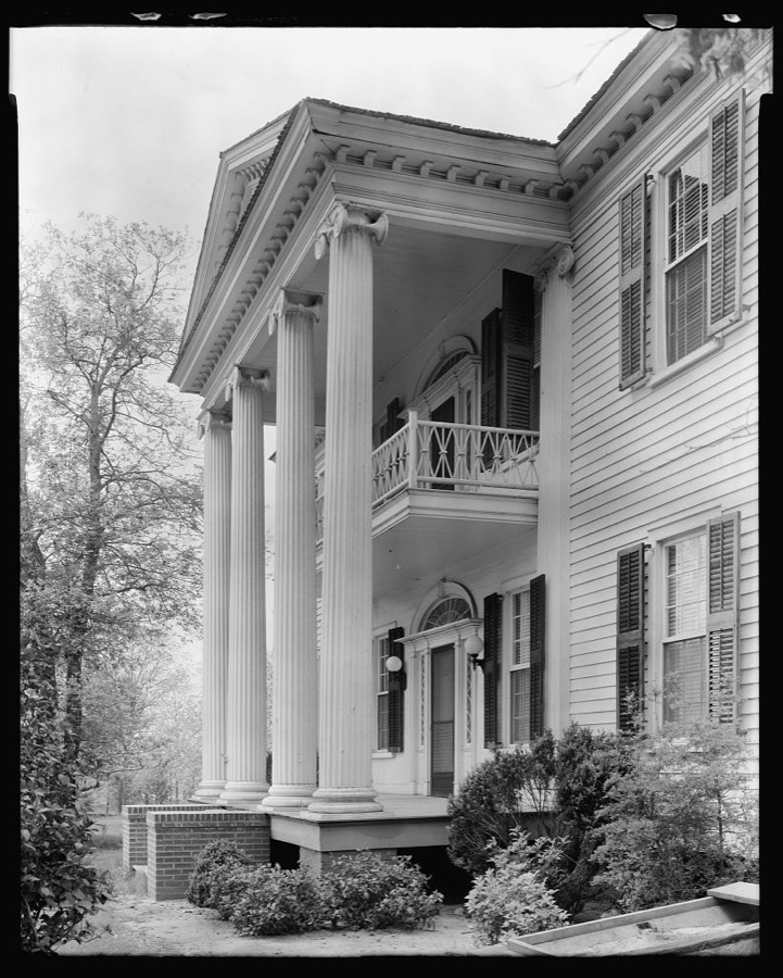
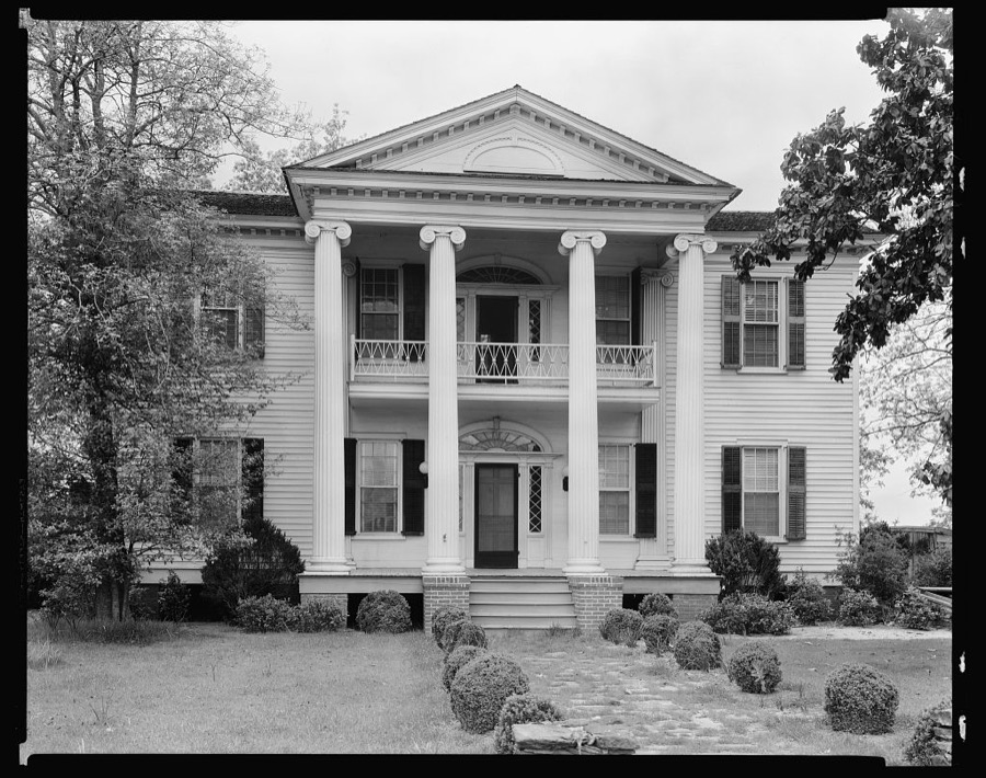
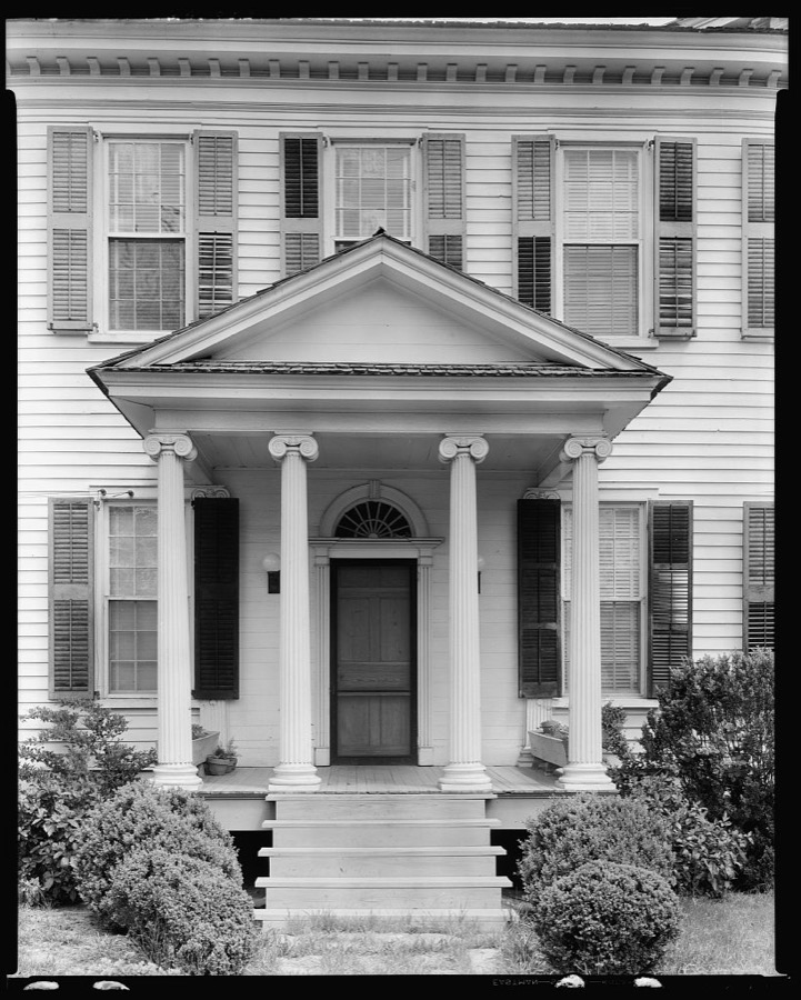
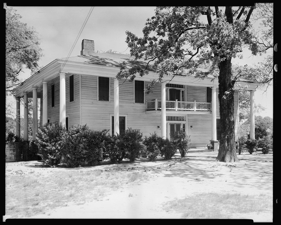
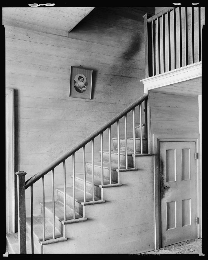
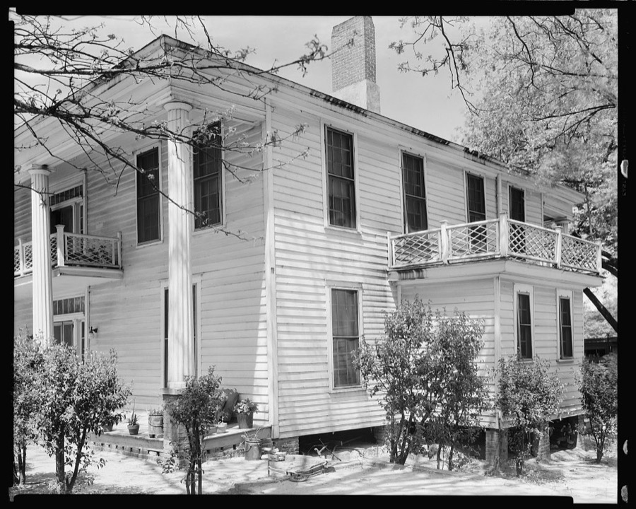
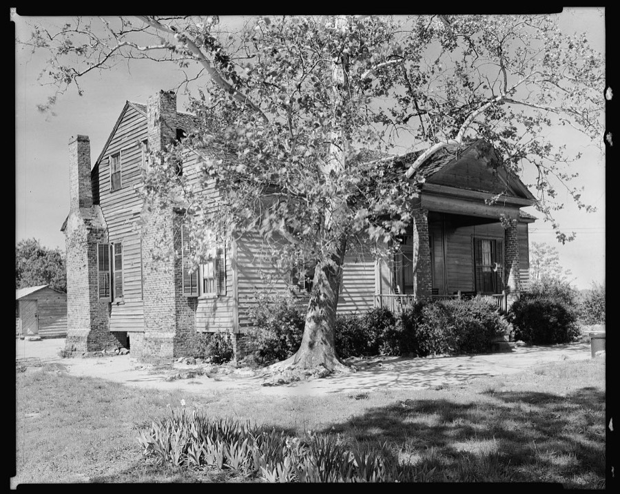
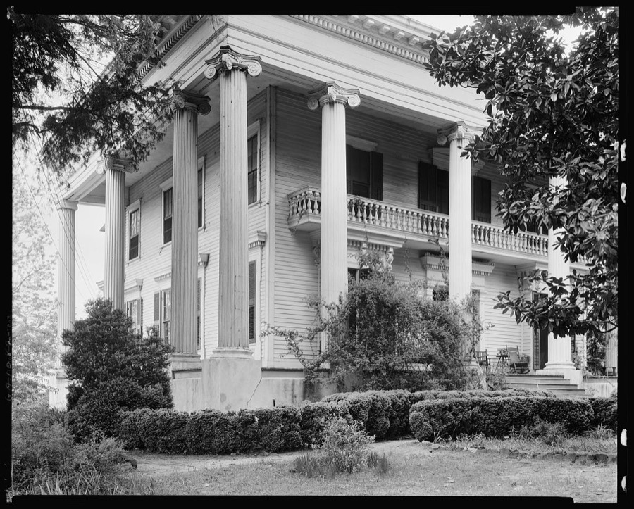
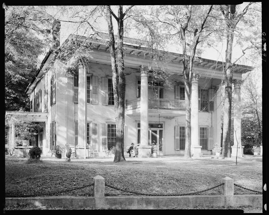
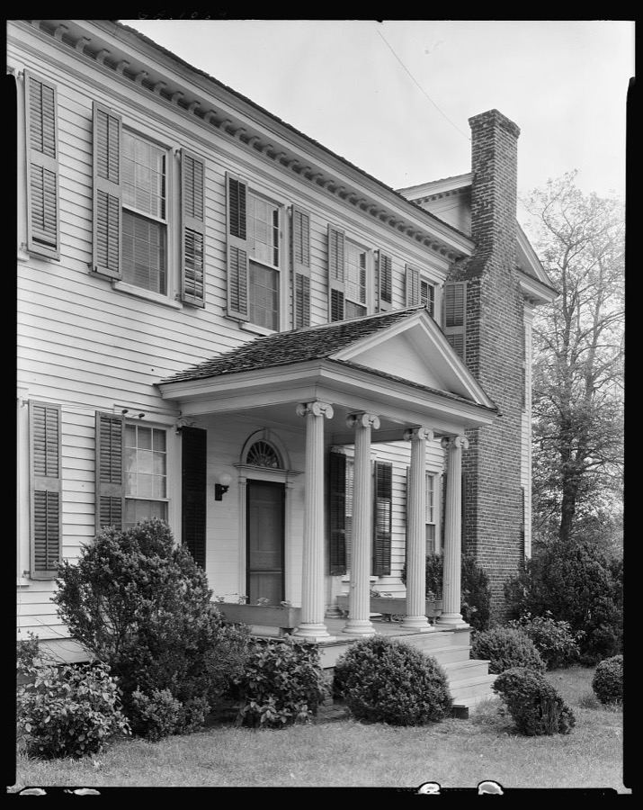
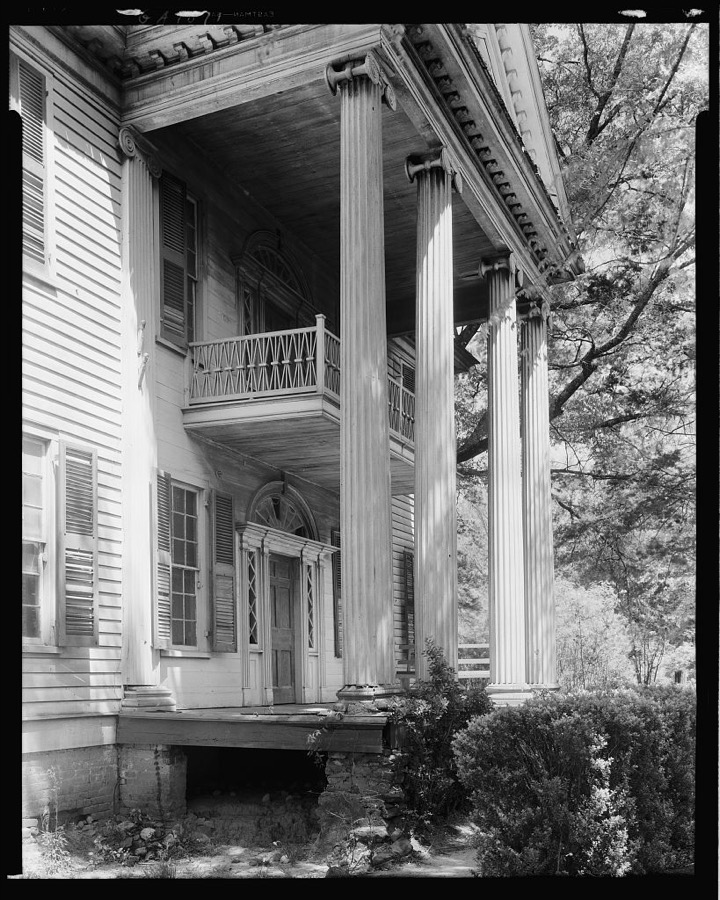

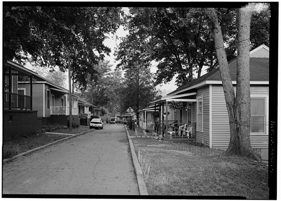
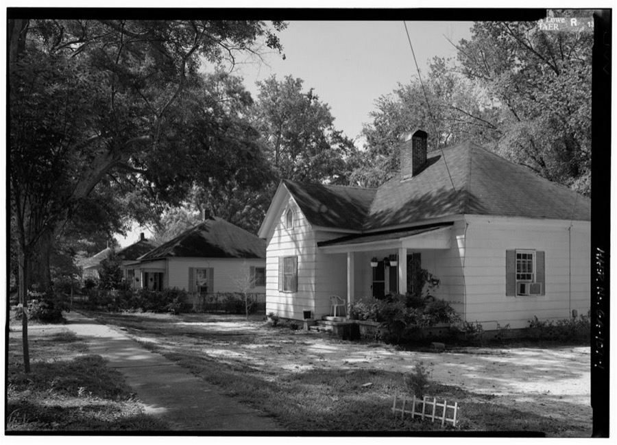
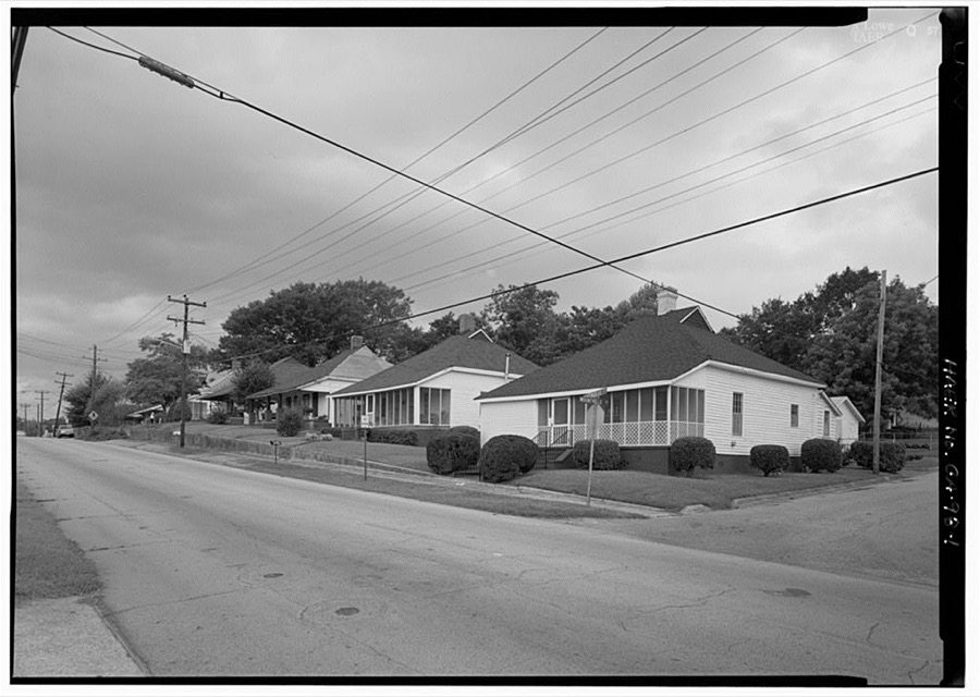
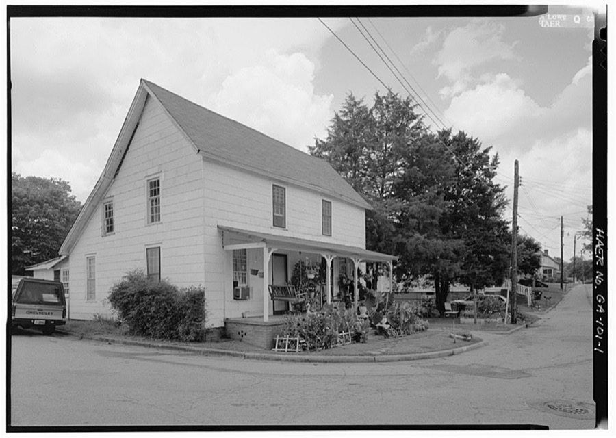
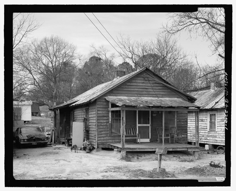
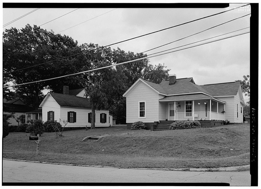
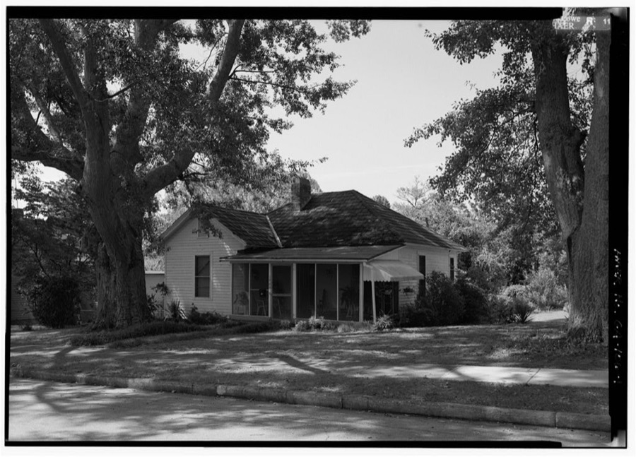
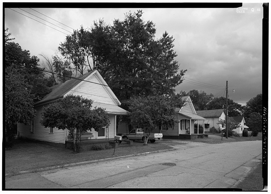
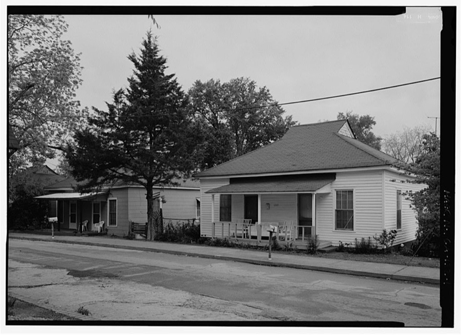
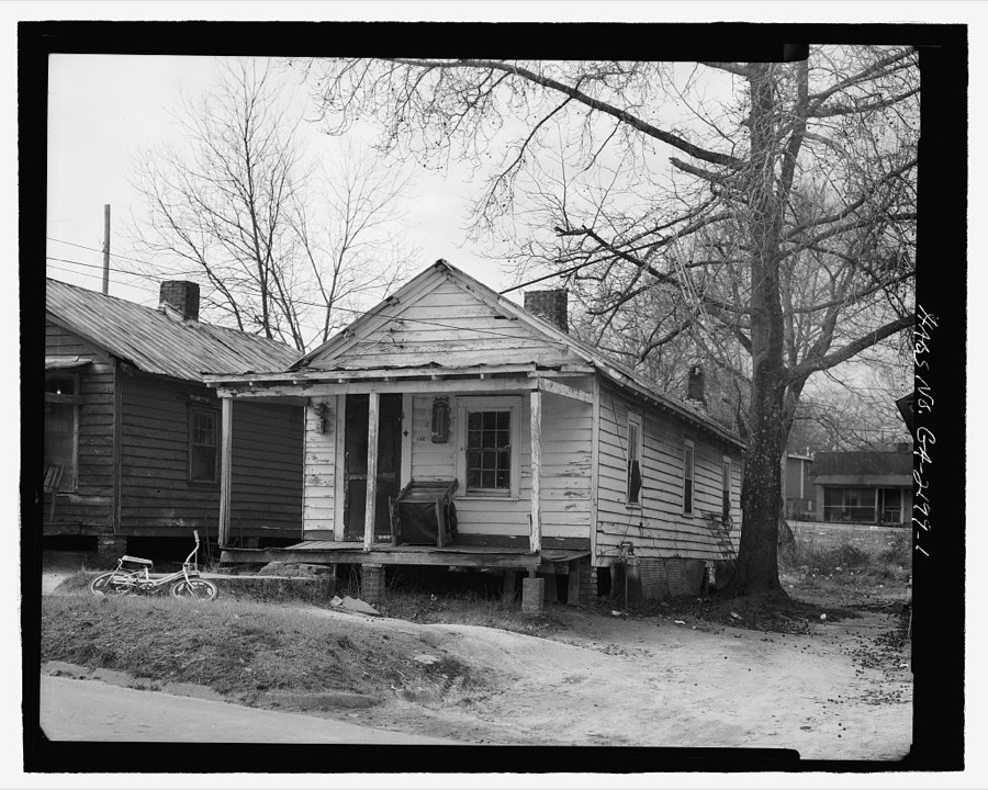
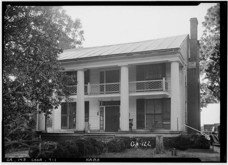
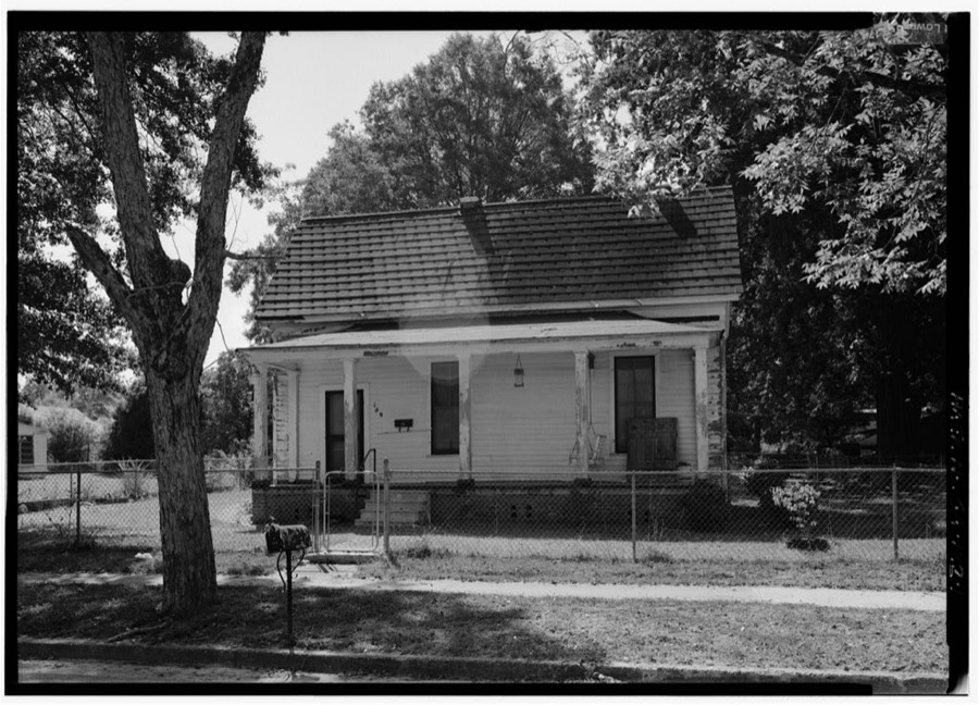
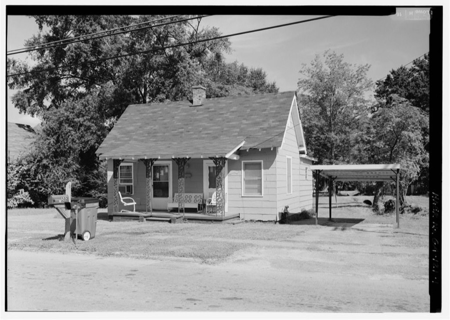
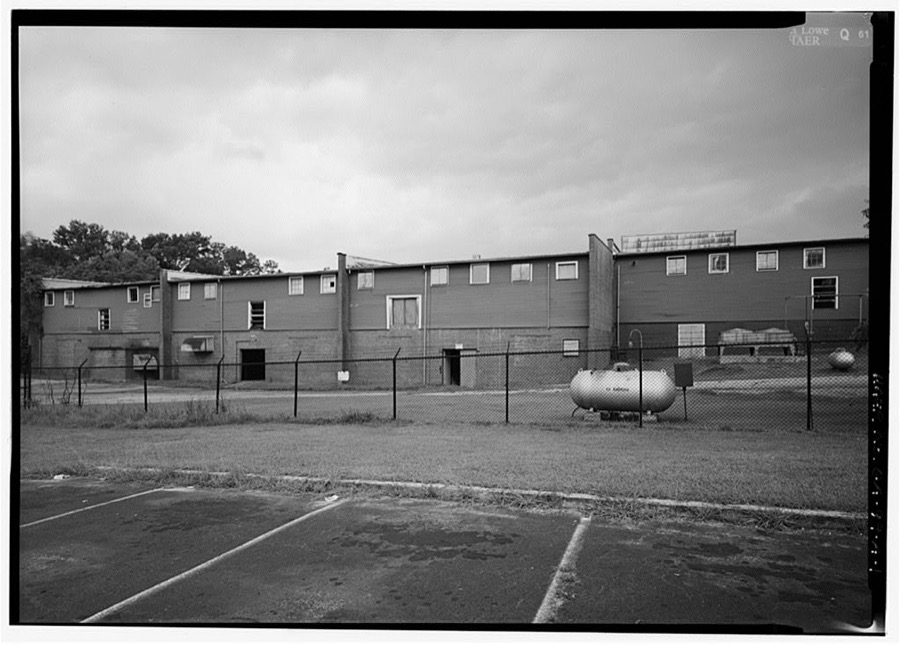
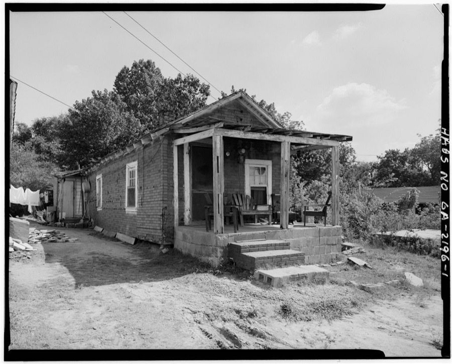
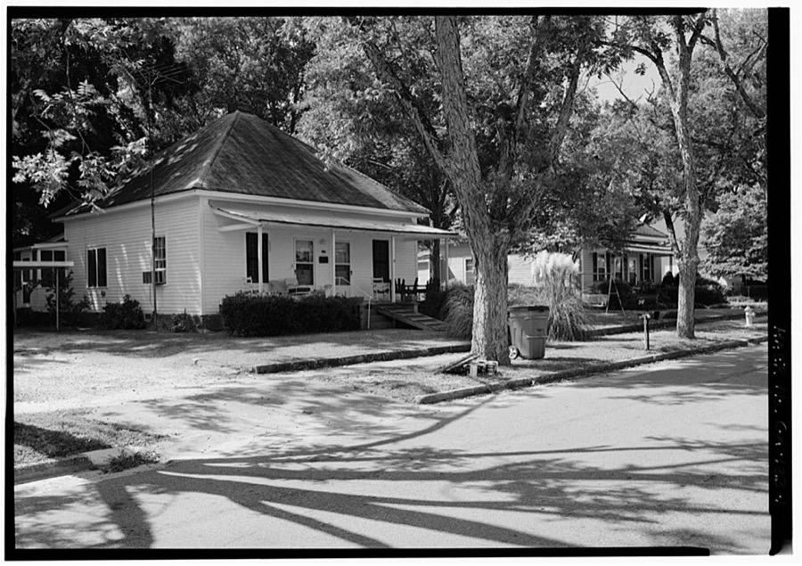
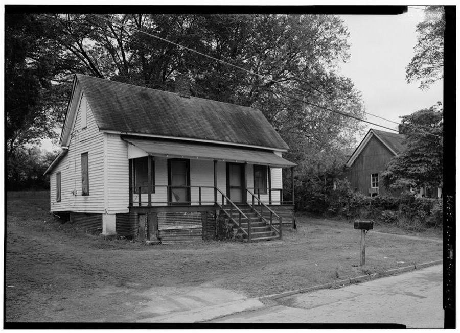
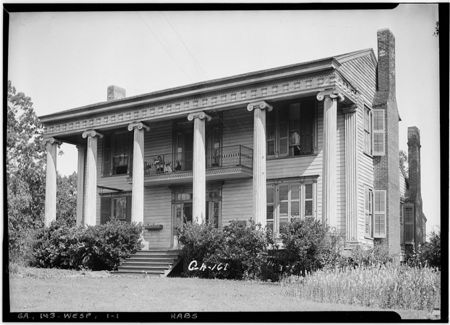
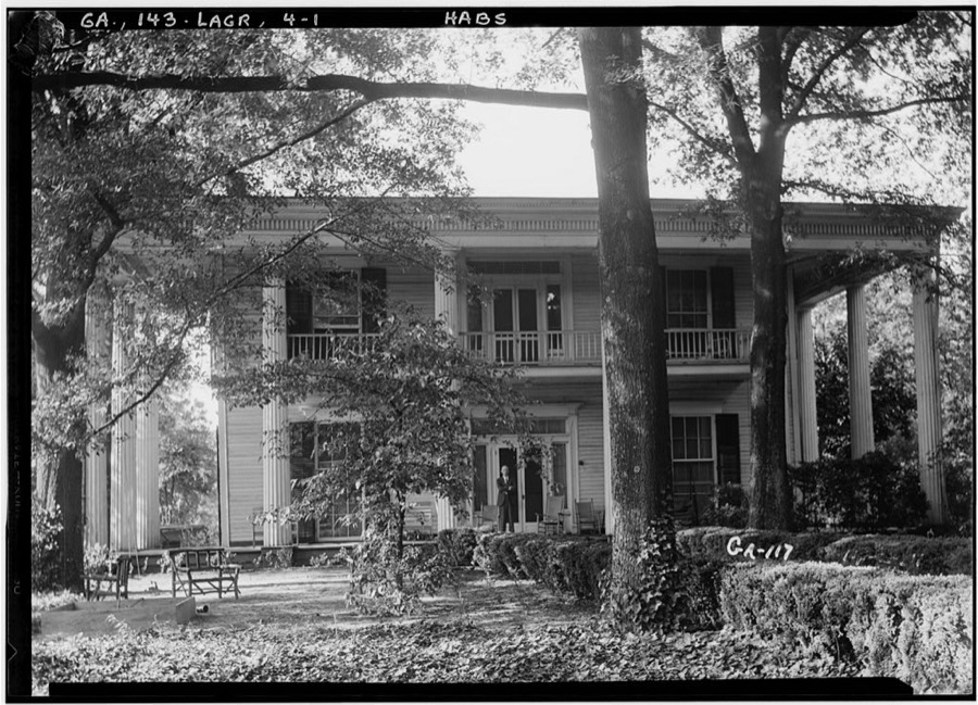
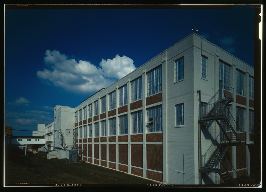
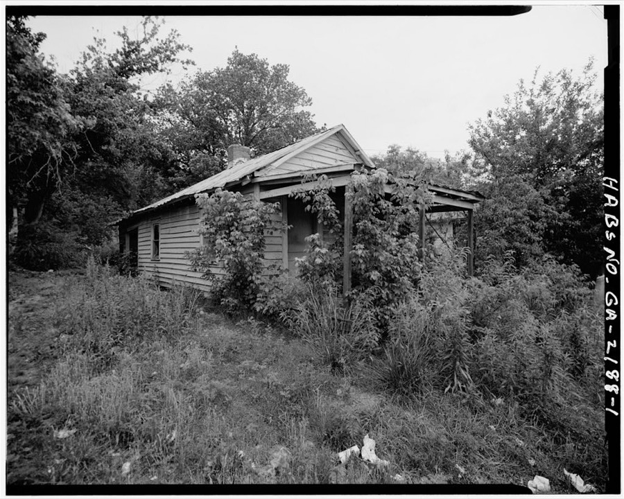
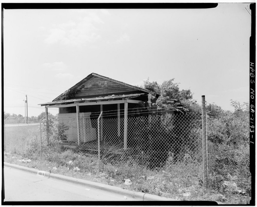
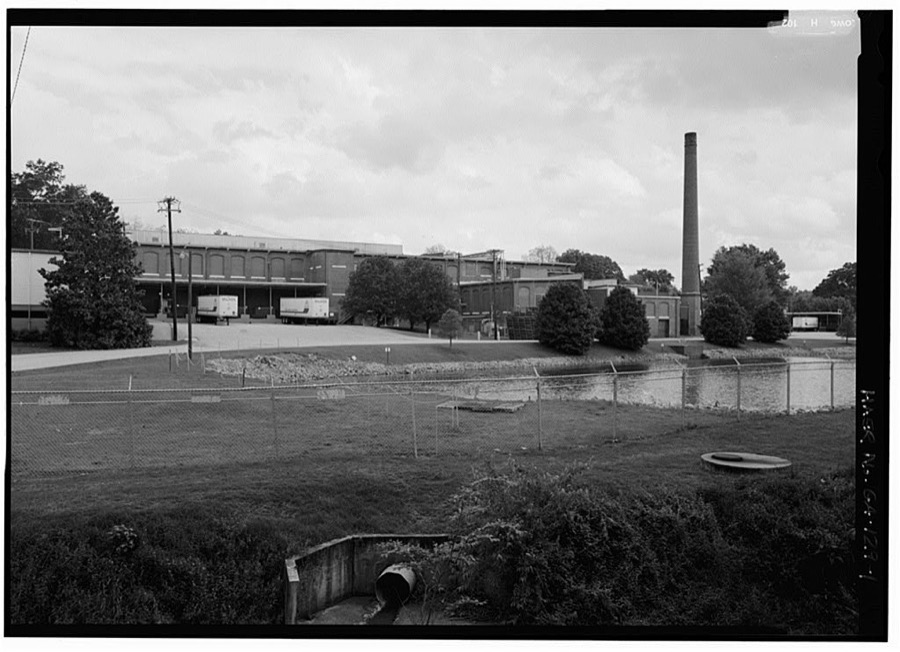
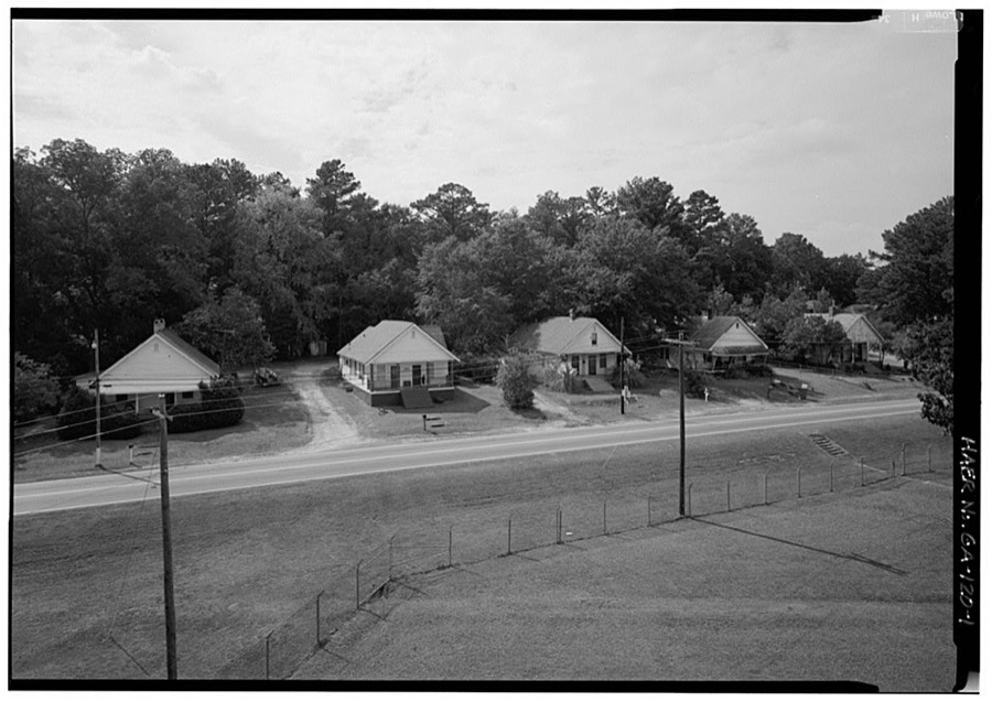
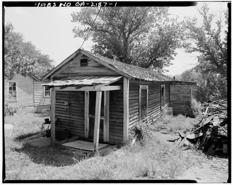
Every property in this county listed on the National Register of Historic Places, with the year it was listed and the federal nomination document.
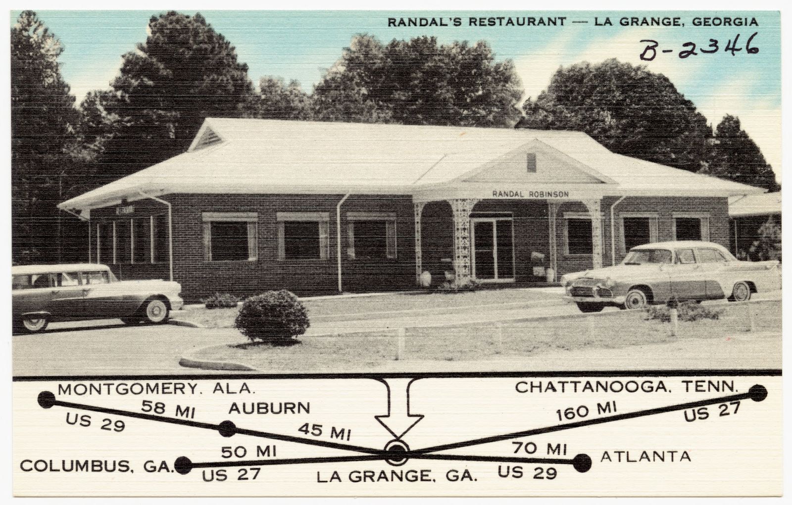
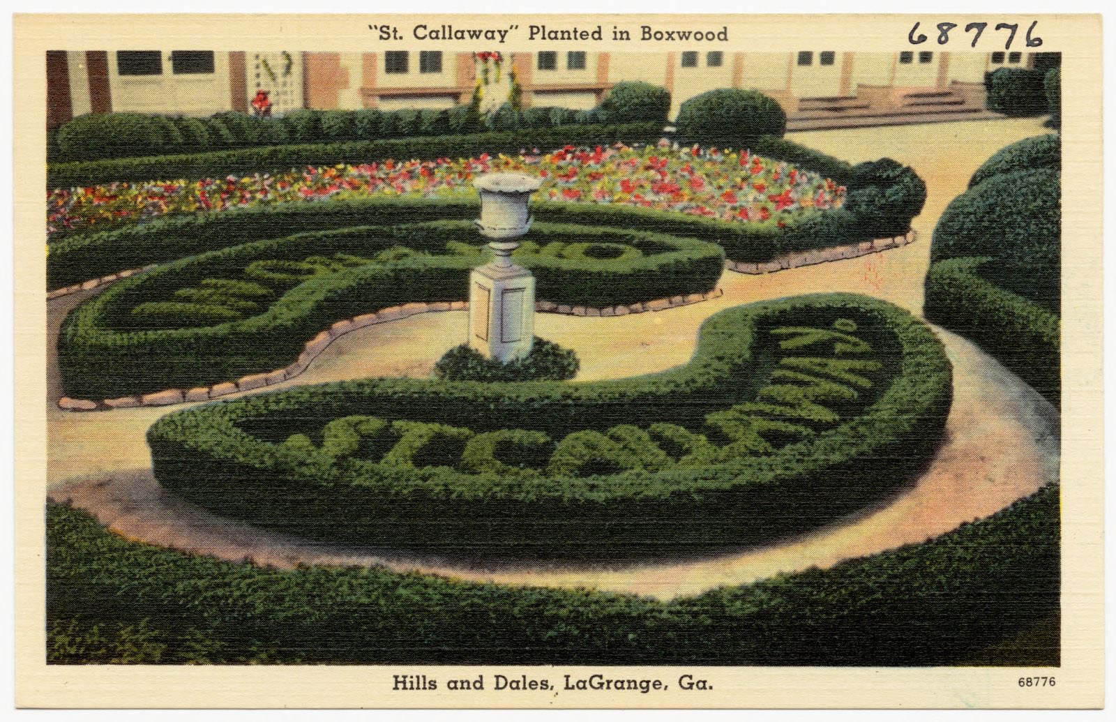
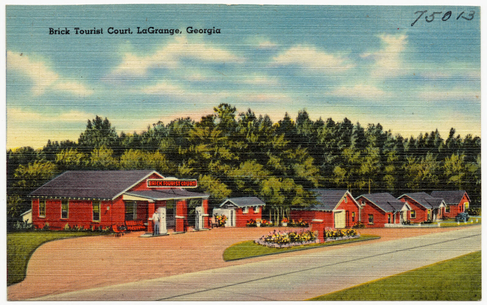
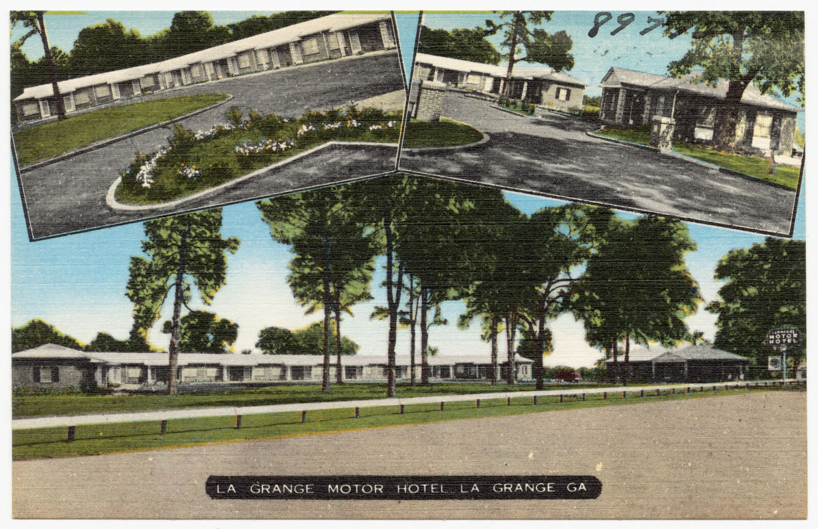
Selected from the Digital Public Library of America's 11 image records catalogued for this county. Every one shown here carries a public-domain status or a licence that permits reuse on a site that carries advertising; non-commercial, share-alike and restricted images are excluded. The selection is spread across the county's towns (at most eight per town), so no single institution's bulk upload crowds out the rest. Each opens the holding library's record, and the complete set at the Digital Public Library of America is one click away.





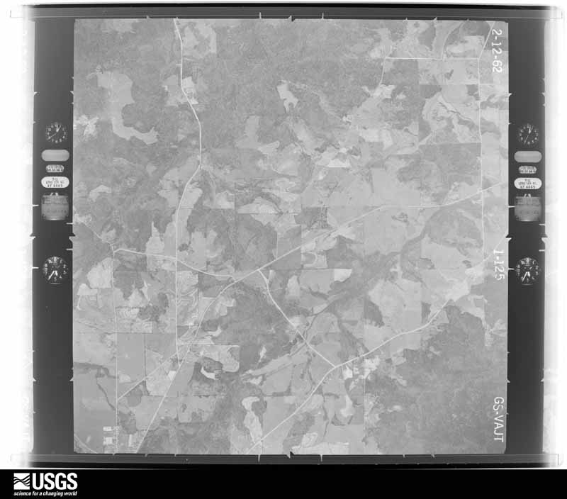
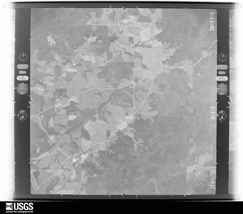
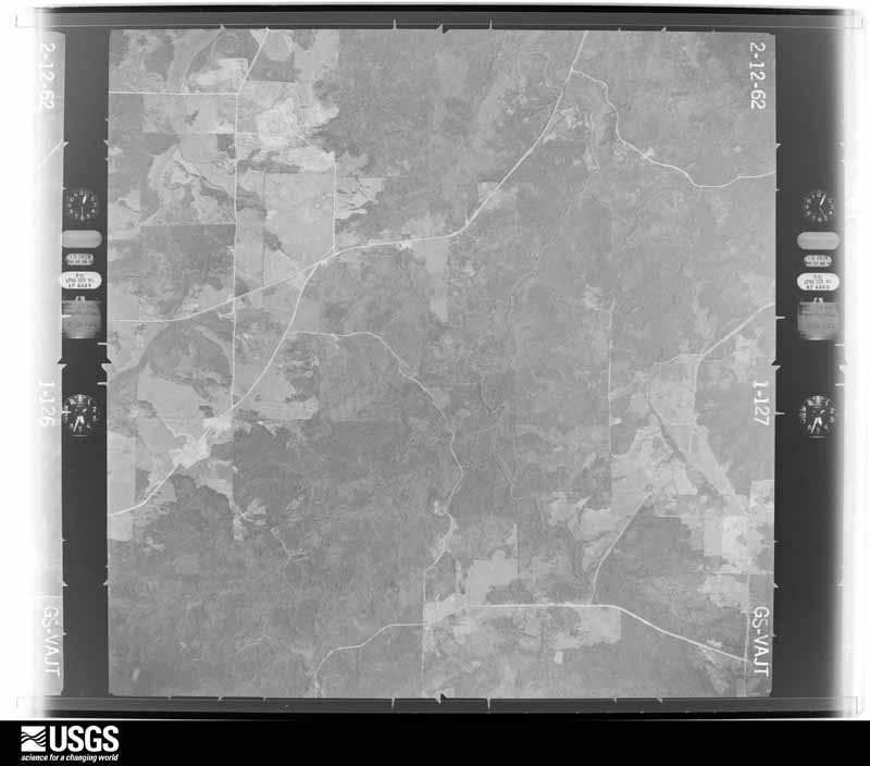
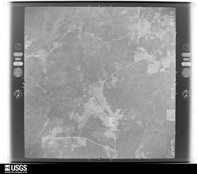
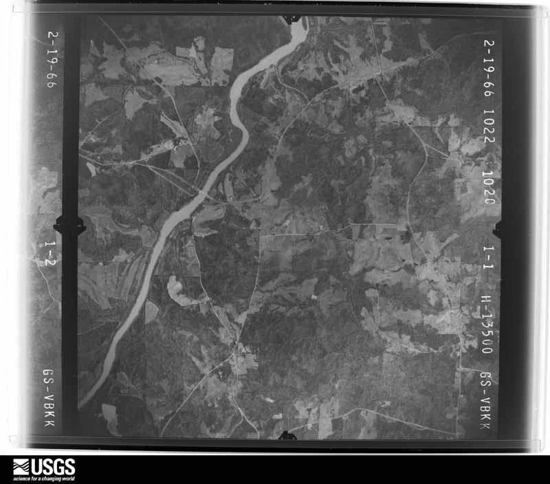
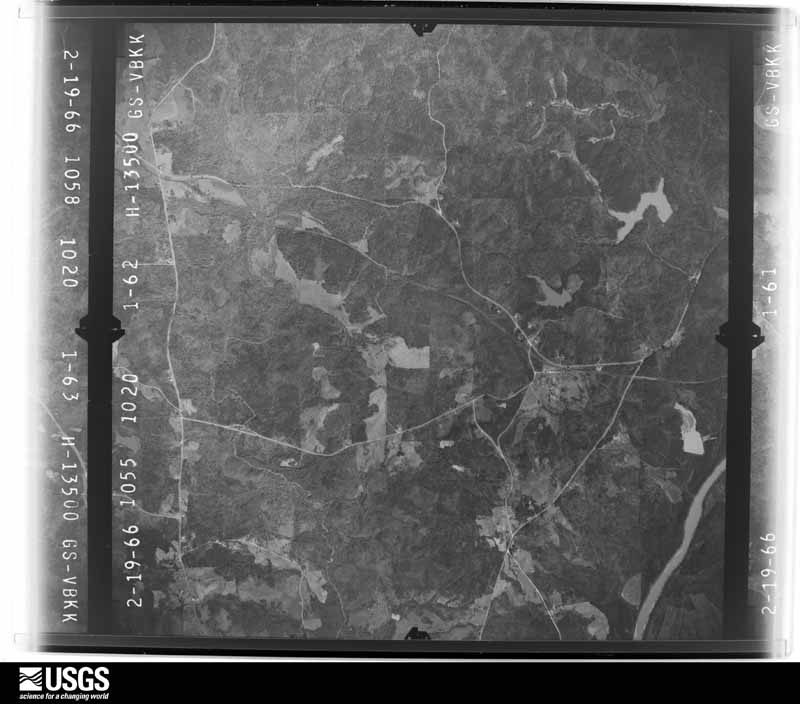
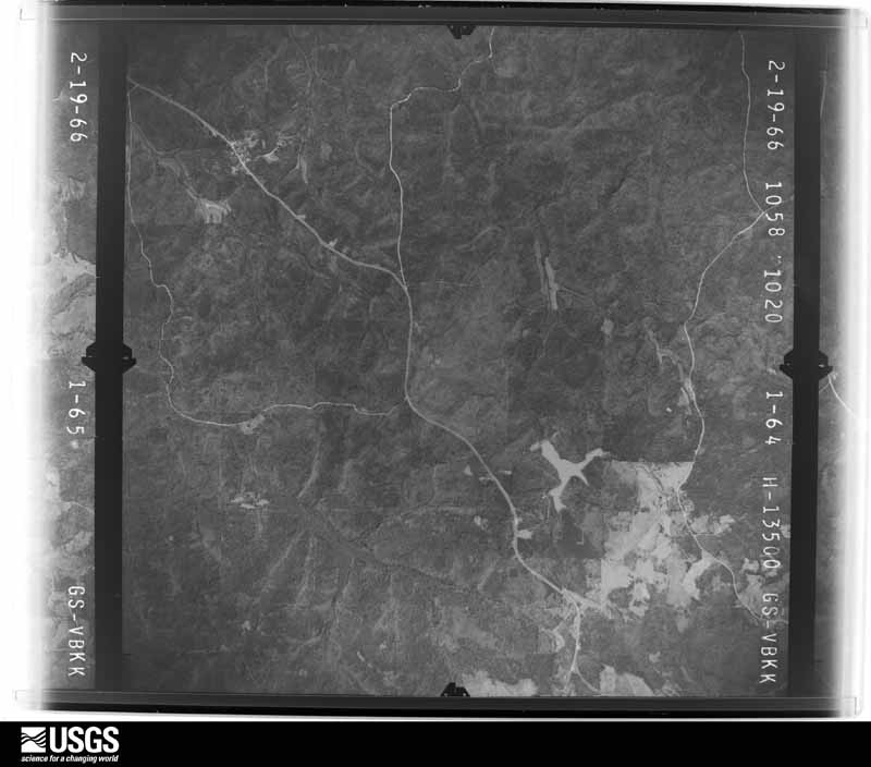
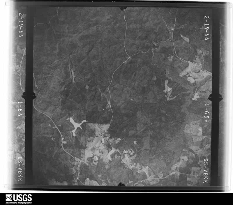
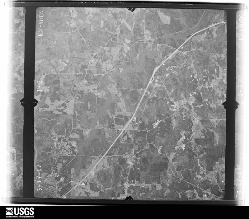
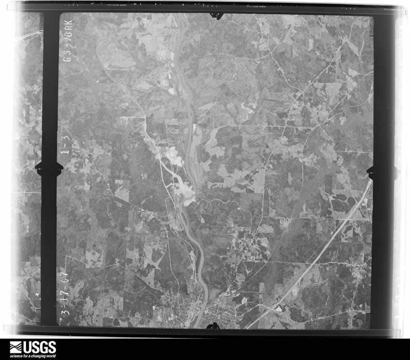
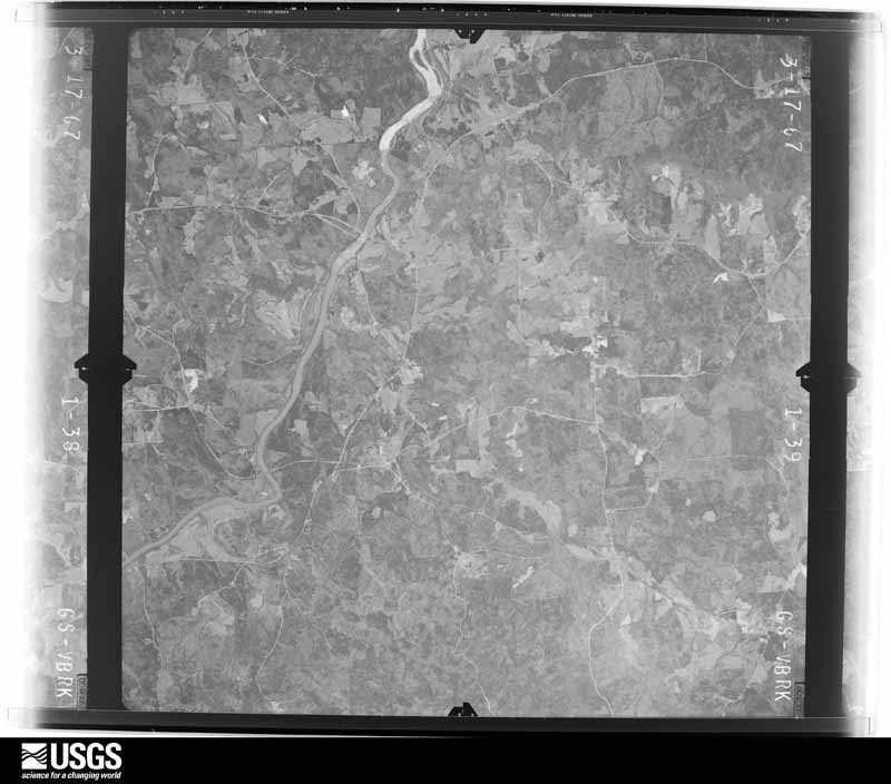
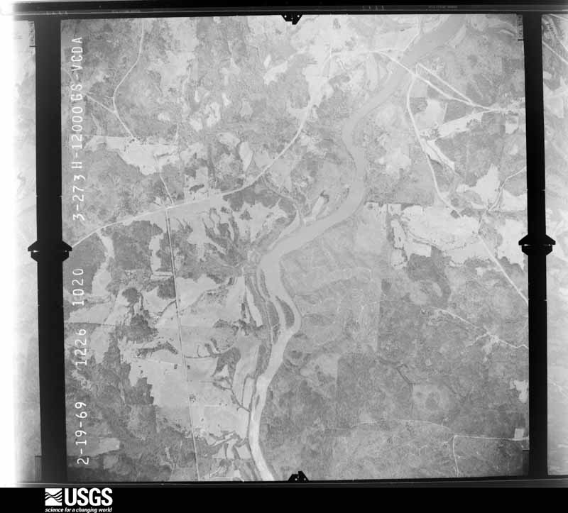
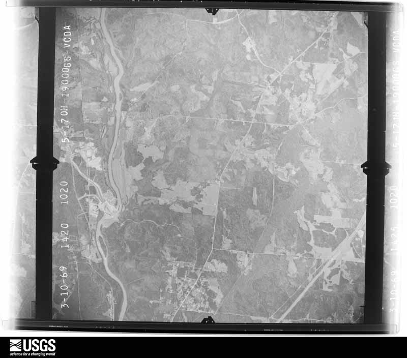
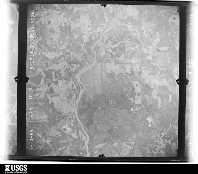
Flown by the U.S. Geological Survey between 1937 and 1989, the Aerial Photo Single Frames collection is the definitive mid-century view of the land: fields, roads and rivers as the camera saw them. The Survey holds 643 frames inside the rectangle that bounds this county; the 31 frames below were taken over the county itself, chosen across the decades of flights (at most four a year from that rectangle), so one flight cannot crowd out the rest. The full set is free to browse and download at EarthExplorer under the dataset Aerial Photo Single Frames.

















The thermometers that kept this county's weather, and the gages that measured the flow of its streams, as the federal records hold them. The extremes below are measured values from those records, not estimates.
Who lived here in 1950, one enumeration district at a time, as the Census Bureau described each district. Each row opens its official National Archives result, with Population Schedules and ED Maps available there.
Every wildfire the federal occurrence database records inside this county: 878 of them, burning about 3,563 acres. 37 started naturally and 72 were recorded as arson. Each settlement page carries the fires within five miles of it.
| Reported cause | Fires |
|---|---|
| Debris and open burning | 484 |
| Arson/incendiarism | 72 |
| Misuse of fire by a minor | 58 |
| Smoking | 56 |
| Missing data/not specified/undetermined | 51 |
| Equipment and vehicle use | 47 |
| Railroad operations and maintenance | 44 |
| Natural | 37 |
| Recreation and ceremony | 29 |
The five largest, by the area the report gives. One of them was set deliberately.
| Date | Cause | Size | Reported by | Name on the report |
|---|---|---|---|---|
| 19 May 2007 | Misuse of fire by a minor | 139 acres | Georgia Forestry Commission | not named |
| 3 April 1992 | Debris and open burning | 94 acres | Georgia Forestry Commission | not named |
| 24 February 2007 | Arson/incendiarism | 89 acres | Georgia Forestry Commission | not named |
| 18 June 2008 | Natural | 86 acres | Georgia Forestry Commission | not named |
| 15 March 1994 | Debris and open burning | 86 acres | Georgia Forestry Commission | not named |
| 8 March 2010 | Debris and open burning | 65 acres | Georgia Forestry Commission | FY2010-TROUP-008 |
| 11 September 2007 | Natural | 59 acres | Georgia Forestry Commission | not named |
| 1 April 2010 | Debris and open burning | 50 acres | Georgia Forestry Commission | FY2010-TROUP-009 |
Every settlement page carries the fires within five miles of it - see the settlement index below.
The NOAA Storm Events Database holds 461 reports for this county, causing 2 deaths, 26 injuries and about $34,006,200 in recorded property damage. Each settlement page carries the reports that name it.
| Kind of event | Reports |
|---|---|
| Thunderstorm Wind | 290 |
| Hail | 118 |
| Tornado | 23 |
| Flash Flood | 15 |
| Lightning | 14 |
| Heavy Rain | 1 |
The most serious of them, by death, then injury, then recorded damage. The accounts are quoted exactly as the forecast office filed them.
| When | Event | Place named | Harm | What the report says |
|---|---|---|---|---|
| May 2003 | Flash Flood | Countywide | 1 killed, $10,000,000 | The Georgia Emergency Management Agency, along with the local Troup county Emergency Manager, reported that excessive rainfall led to extensive and historical flooding across the county. Some areas received as much as 10 inches of rain in 24 hours. Many roads were flooded and washed out. Several major roads, including Interstates 85 and 185, were also flooded and closed in some areas. Interstate-85 was closed from exit 21 to the Alabama border and Interstate-185 was closed at exit 48. Twelve miles of U.S. Highway 27 and four miles of U.S. Highway 29 were also closed in the county. A number of secondary roads were washed out and closed as well. Four bridges (Hunt, Gabbettville, Salem, and Tucker roads) were completely washed out and several others were damaged. A 47-year old Pine Mountain woman was killed when her compact vehicle was caught in flood waters caused by a washed out culvert on a road in the Leisure Lane Estates subdivision near the Meriwether county border. During the height of the flooding, several residents in the Flat Shoals area required evacuation, including three adults and two children. The Georgia Emergency Management agency reported that at least 200 residential structures received damage because of flooding and a number of businesses also sustained moderate to major damage. Several vehicles were also lost in the flood waters, including several fire department vehicles. One home on Dallis Mill Road was washed away and another home on New Hutchinson Mill Road sustained major damage from flooding. At the same residence, two vehicles were lost. A mobile home was also washed away on Webb Road. Significant flooding was reported in the Riverside Trailer Park and Skinnerville area as well. Several businesses were also flooded and damaged, especially in the Avenue B and C area of West Point just east of U.S. Highway 29. Water was also three feet high at the West Ninth and Third Avenue intersections. A Pizza Hut was seriously damaged by flood waters. Much of the restaurant would have to be replaced or rebuilt. A Kentucky Fried Chicken restaurant was severely damaged as the high water caved in the front door. The West Point Foundry, Hester Print Shop, Nader's Music Store and the Winston's Flea Market were also flooded and lost several thousand dollars worth of merchandise. The St. John's Episcopal Church day care center was also flooded, resulting in damage, not only to the center itself, but also to the toys, videos, and playground equipment on the premises. A number of roads in the county were closed as a precautionary measure. It was also noted that schools were closed in the county for several days because so many roads were impassable. Finally, it was noted that the Chattahoochee Riverwalk was completely underwater. |
| June 2016 | Thunderstorm Wind | West Pt | 1 killed, $100,000 | The Troup County Emergency Manager reported a large tree was blown down onto and destroyed a house in the 1200 block of East 8th Street in West Point. Seven people were inside the home at the time, six escaped without injury. A seven-month-old infant was crushed to death in his crib. |
| April 2011 | Tornado (EF2) | Cannonville | 6 hurt, $10,000,000 | A damage survey conducted by the National Weather Service Forecast Office in Peachtree City, Georgia confirmed that a second tornado touched down in Troup county, approximately five miles south of LaGrange and then traveled approximately seven miles to the northeast before lifting six miles east of LaGrange. This tornado was an EF2, had a maximum path width of 1/4 mile, with maximum winds estimated to be 120 mph. The tornado did cross Interstate-185 east of LaGrange. Fifteen homes were destroyed along the path of the tornado and another 50 homes sustained minor to moderate damage. The most significant damage occurred along Georgia Highway 219 and Murphy Road near the beginning of the tornado's path, or about two miles south of the LaGrange city limits. About 12 homes were destroyed in this area. One home in this neighborhood was picked up and thrown 50 feet while its sun room was thrown 300 yards. A well built log cabin on a hillside was completely destroyed as it was blown off its foundation in the opposite direction of the tornado's movement. While no fatalities occurred admist all of this damage, there were six injuries resulting from debris and damaged homes. Thousands of trees and many power lines were also down along the path of the tornado.||A total of 41 residential or commercial structures in Troup county were either destroyed, suffered major damage, or sustained minor to moderate damage from the two tornadoes this evening.||It should be noted that the same thunderstorm that spawned this tornado continued on to spawn yet another tornado that tracked across northeast Meriwether into western Spalding and southern Henry county shortly after this event and then later spawned additional tornadoes in east central Georgia as the night continued.||[04/27-04/28/11: Tornado #9, County #1-1, EF2, Troup, 2011:018]. |
| March 2023 | Tornado (EF3) | West Pt | 5 hurt | The long track tornado first touched down just inside the Alabama-Georgia state line just west of the Chattahoochee River along State Line road where several trees were snapped and noted as EF0 damage. In the course of the next 1.25 miles, the tornado|would rapidly intensify to EF3 as it moved into North West Point. West Point Road or Hwy 29, sustained the most significant damage with several homes completely leveled and many sustaining major damage. Of the 4 homes completely leveled, it was noted that the anchoring of the walls to the concrete slab was through the use of nails. As a result, the destroyed homes would have failed at lower wind speeds than EF4 thus a rating of EF3 was determined. Other homes with major damage nearby also suggested a mid range EF3 within the core of the strongest winds. The area of most|significant damage was located between West Point Road, 1st Ave and Samples Rd. Significant damage was also noted along Ann Murphy Rd to the west of Hwy 29. The tornado continued east across mostly wooded area until it reached Kia Pkwy and I85 where a large swath of trees were snapped and uprooted. It should be noted that the tornado passed 0.75 miles south of the Kia Manufacturing plant along Kia Pkwy. The tornado continued east along Lower Lovelace Rd crossing Johns Road and Billings road|causing up to EF2 damage to several structures and many trees. 3 homes were nearly destroyed along Shoemaker Road as the tornado passed through. The tornado crossed Adams road and Jarrell Hogg Rd causing EF1 damage to several homes and outbuildings as well as snapping and uprooting many trees. The tornado crossed Whitesville Road near the intersection of Ely Callaway Road causing EF1 and EF2 damage to several homes and snapping and uprooting many trees. The storm continued east crossing Bright Star Church road, Salem Farm Road, and Flat Shoals Church road snapping and uprooting many trees and causing mostly EF0 to EF1 damage to homes along each of those roads. The tornado continued east snapping trees along White Road before crossing I185 snapping trees along both sides of the Interstate. As it crossed Oak Grove Road, EF1 to EF2 damage was noted to both trees and most notably the Pine Mountain Wild Animal Safari where several tigers had escaped as a result of the tornado. The tornado continued east crossing Hamilton Road (Hwy 27) and Old Chipley road snapping and uprooting many trees noted as mostly EF1 damage. As the tornado crossed into the Cherokee Resort club near the Troup County Line, more than 40+ cabins sustained damage with several cabins destroyed. The tornado damage in some|sections of the resort was rated as EF2. The tornado continued into Meriwether county crossing Dallas Mill road where it began to weaken rapidly. The last location of damage was located along Robert Williams Road where a couple snapped trees were found. |According to Troup County EMA, 146 total homes were affected, 23 were destroyed, 26 sustained major damage and 41 sustained minor damage. |
| January 2023 | Tornado (EF2) | La Grange Callawy Ar | 4 hurt | Re-cycling from a parent supercell tracking from Chambers County (Alabama) into Troup County (Georgia), this tornado touched down just south of Callaway Airport, snapping several trees along Pegasus Pkwy. Damage quickly picked up just to the northeast approaching Whitesville Road (just north of I-85) where several one-story metal buildings had significant roof damage, along with their garage doors and windows blown in. Numerous trees in this area were either snapped or uprooted. Several power poles along Orchard Hill Road were broken off near the top. Maximum winds in this area were determined to be in the 90-100 mph range (EF-1). As the tornado continued northeast, a large warehouse building at the Vaughan Xpress transportation facility sustained significant damage. About 1/4 of the large warehouse was completely destroyed with several metal bolt anchors stretched or ripped up out of the concrete pad. Winds were estimated between 110-120 mph at this time and as it crossed I-85, a large number of trees were snapped (some near the base) or uprooted. Widespread significant damage by this strong tornado continued across the Baldwin Park community. In this location, more than 30 homes had significant damage; one and two-story homes lost major parts of the roof and upper level floors along with at least partial-collapse of exterior walls. Debris was thrown for hundreds of yards. Winds in this area likely maxed out around 120 mph, making this an EF-2 tornado. The tornado continued east-northeast, cutting down trees across Upper Big Springs Road, I-185, and Stewart Road (east of I-185). There's a fairly rural/wooded area between Stewart Road and the next road (Parmer road) about 2 miles apart but damage picked back up along Hwy 109/Greenville Road (mostly trees snapped/uprooted). The tornado then ripped through the town of Mountville, snapping and uprooting multiple medium to large trees along Trippe and College streets. A couple more trees were uprooted along Wood Road as it moved into Meriwether County. Numerous trees were down near the intersection og Keith Rd and Evans road as the damage veered right. The tornado continued across a wood area, crossing Beech Creek, with more large branches found snapped on Wilbur Keith Rd near Fox Den Rd. The giant mesocyclone continued east where the tornado merged with the ongoing Meriwether/Northwest Pike tornado near Highway 100 and Forrest Rd. |
| July 1995 | Thunderstorm Wind | LaGrange | 3 hurt, $45,000 | Thunderstorm winds knocked a tree down on a house on Jefferson Street, there were also a tree down on Hill Street. Fallen trees damaged at least eight homes. Numerous trees fell on roads and cars, injuring two people in one car. More than 12,900 people were without power for part of the day. A child was injured when a tree fell onto an apartment. |
| March 1991 | Thunderstorm Wind | not stated | 3 hurt | no account filed |
| May 2003 | Thunderstorm Wind | Countywide | 1 hurt, $250,000 | The Troup county 911and the La Grange newspaper reported that a number of trees were blown down around the county, especially on the west side of La Grange. At least five homes and one vehicle were damaged when large trees fell on them. A brick fence and an iron and brick fence at another location were also damaged. One man received injuries as ceiling tiles fell on him when the ceiling in his living room collapsed during the strong thunderstorm winds. Another family of five was trapped inside of their home when a large tree fell on the house. However, no injuries were reported. The Troup county 911 center received reports of fallen trees at 40 different locations and at least six roads in the county were blocked by downed trees. County workers spent most of the night removing debris from blocked roadways. |
| February 2003 | Thunderstorm Wind | Andersons Corner | 1 hurt, $100,000 | The Troup county 911 center reported that strong straight-line thunderstorm winds destroyed one mobile home and severely damaged three other mobile homes in a mobile home park in the extreme southeast corner of Troup county on Salem-Chipley Road just off U.S. Highway 27. One man was injured when he was trapped inside his damaged mobile home by a large fallen pine tree, which crashed through the chimney of the mobile home and tore through one end of the home. Numerous trees and power lines were also blown down in the same general area. The Columbus Ledger-Enquirer reported that the mobile home park resembled a bomb zone with numerous huge pine trees uprooted or ripped off by the thunderstorm winds. |
| December 1956 | Tornado (F1) | not stated | 1 hurt, $2,500 | no account filed |
| June 2010 | Lightning | West Pt | 1 hurt | The Troup County 911 Center reported that a female teenager was injured by lightning while boating on West Point Lake. |
| April 2006 | Lightning | La Grange | 1 hurt | The Troup County 911 Center reported that a 44 year-old male was struck by lightning knocking him unconscious and singeing his hair and clothes. He was left disoriented for some time and required medical attention. |
| April 2013 | Hail | La Grange | $1,748,000 | Several reports were relayed from the public of quarter to baseball sized hail in the LaGrange area. Damage was reported to windows, cars and roofs. |
| December 2015 | Flash Flood | Trimble | $1,600,000 | The Troup County Emergency Manager reported around six roads and culverts had been washed out in central portions of the county and in the LaGrange area. A few water rescues were needed. |
| December 2005 | Hail | La Grange | $1,500,000 | Numerous reports of very large hail were received from the public across a large part of central Troup county from west of LaGrange near West Point Lake east to Mountville along the eastern border of the county. Many of the hail reports were of golf ball to baseball-sized hail. Hail the size of quarters to golf balls completely covered the ground at one shopping center in La Grange. Dozens of car windshields were broken during the hailstorm. The most significant damage occurred at a Toyata dealership in LaGrange, where 240 vehicles were damaged. |
| April 2006 | Hail | Hogansville | $550,000 | A thunderstorm producing very large hail affected much of far eastern Troup county. The thunderstorm entered the county just north of Hogansville and exited just southeast of Mountville. A number of reports of very large hail were received from the county 911 center, storm spotters, and the public as the storm traveled through the county. Golf ball, baseball, and even tennis ball-sized hail were observed from Hogansville to Mountville. A damage survey conducted by the National Weather Service the following day confirmed that roofs of homes in the area sustained significant damage and trees in the area were stripped of leaves by the large hail. |
| July 2018 | Hail | Lees Crossing | $450,000 | The local broadcast media reported golf ball size hail in LaGrange. |
| July 2018 | Hail | Huntington | $450,000 | The Troup County 911 center reported golf ball size hail near the intersection of Whitaker Road and Brookwood Drive. |
| March 2015 | Hail | Lees Crossing | $447,000 | The public reported golf ball sized hail on Ridley Avenue in LaGrange. |
| February 2012 | Hail | West Pt | $445,000 | The Troup County 911 Center reported nickel to golfball size hail occurring from near West Point to southeast of LaGrange. |
| July 2012 | Hail | Stallings | $445,000 | The public reported golf ball sized hail fell on Chase Road. |
| June 2011 | Hail | La Grange | $425,000 | The Troup County 911 Center reported golf ball-sized hail just south of LaGrange and the public observed quarter-sized hail near Smiths Crossroads. |
| July 2000 | Lightning | La Grange | $350,000 | The La Grange Daily News reported that lightning caused an estimated $100,000 damge to a house on Riverbend Road, caused another house fire at the corner of Mooty Bridge Road and John Harris Road, and destroyed two backup electrical generators at the City Hall. |
| July 2020 | Hail | Whitfield | $320,000 | The public reported hail the size of hen eggs along Mt Zion Church Road. A window and a patio table were broken at a home and car alarms were set off in the area. |
| July 2020 | Hail | Louise | $320,000 | The public reported hail the size of golf balls in the Hogansville area. several cars were dented and had windshields cracked. |
| December 2015 | Flash Flood | Trimble | $300,000 | A USGS stream gauge on the Yellowjacket Creek at Hammett Road near Hogansville reached flood stage of 8 feet. The creek crest at 13.8 feet. Significant flooding occurred in the marshy wetlands and woods along the creek upstream and downstream from the gauge. Two houses and some buildings on the right bank near the bridge were flooded with around one foot of water. |
| April 2011 | Hail | Long Cane | $282,000 | The Troup County Sheriff's Office observed golf ball-sized hail near West Point Lake and LaGrange. |
| April 2011 | Tornado (EF0) | Buena Vista | $250,000 | A damage survey conducted by the National Weather Service Forecast Office in Peachtree City, Georgia confirmed that yet an eighth tornado had touched down within the Peachtree City, Georgia county warning area, this time in northern Troup county. An EF0 tornado touched down approximately three miles west of Hillcrest in northern Troup county and then tracked 17 miles on a northeastward track across extreme southeast Heard and into southwest Coweta counties before lifting. The tornado strengthened to an EF2 rating through much of Heard and again toward the end of the path in Coweta county. Within Troup county, the path length was about 6.5 miles. The maximum path width was 100 yards with maximum winds estimated to be 90 mph. The tornado tracked mostly through a Georiga Department of Natural Resources Wildlife area, and as such damage within northern Troup county from this tornado was confined mainly to thousands of downed trees, as well as some power lines. No significant damage to structures and no fatalities or injuries were reported from this tornado within Troup county.||[04/27-04/28/11: Tornado #8, County #1-3, EF1, Troup-Heard-Coweta, 2011:017]. |
| June 2007 | Lightning | La Grange | $250,000 | The LaGrange Daily News reported that lightning struck a transformer outside the Dunson United Methodist Church on Barnard Avenue. The lightning traveled through the electrical lines into one of the air conditioners in the crawl space resulting in a fire which caused considerable damage to the structure. |
| December 1964 | Tornado (F3) | not stated | $250,000 | no account filed |
| December 1964 | Tornado (F3) | not stated | $250,000 | no account filed |
| January 2007 | Thunderstorm Wind | La Grange | $200,000 | The LaGrange Daily News reported that several buildings were damaged or destroyed and numerous trees and power lines were down, mostly in the north part of the county and in the LaGrange area. A metal storage building was destroyed at a Dermatology Clinic on Whitesville Road and Stay Lodge, also on Whitesville Road, lost about half of the shingles on its roof. Damage estimates for the building and destroyed property were in excess of $100,000. The Southern Pipe plant on Webster Street in La Grange was severely damaged when the wind picked up a utility building and hurled it through the side of the business. Damages to this facility alone were estimated at $35,000. The storm also ripped off a wall of the Faith Temple Church on Edgewood Avenue and a number of trees were blown down at West Georgia Technical College, one of which damaged the roof of a campus building. A tree was also blown down onto a trailer on Kelley Street. A number of trees were reported down across the county. |
| August 2005 | Lightning | La Grange | $200,000 | The La Grange Daily News reported that lightning struck a home on Shoal Creek Drive. The $110,000 dollar home was completely destroyed. Another home was struck on Wright Street, causing major damage to the structure. |
| July 2000 | Thunderstorm Wind | Countywide | $200,000 | The LaGrange Daily News and the Troup county 911 center reported widespread major damage throughout the county. Trees and power lines were down countywide. It was estimated that $20,000 damage was done to a grounds maintenance equipment building at the Troup-Callaway Airport. A four-wheel truck and tractor parked next to the building were also damaged when a wall of the building fell on them. Several homes, particularly in the southern portion of the county south of Interstate 85, were damaged when trees fell on them. A car was totaled when a large oak tree fell on it. Other trees in the same area crashed through the roofs of homes, caused other less significant vehicle damage, and broke down a fence. The winds were reported to be so strong that an employee at a hardware store reported that pallets were blowing across the parking lot. |
| June 2014 | Tornado (EF0) | Crowder | $150,000 | A National Weather Service survey team determined that an overnight squall line interacted with an outflow boundary to produce a brief EF-1 tornado just east of West Point Lake in the Heritage Hills subdivision, where a couple of trees were snapped and uprooted at touchdown. The tornado continued to the southeast where additional trees were snapped and uprooted. One tree fell on three cars, crushing them. The tornado continued to the next block where it destroyed a greenhouse. The tornado lifted near Georgia Highway 29. Overall there were 50 large trees downed, several of which were on houses and vehicles. A couple of additional houses had shingle and siding damage as well.|[06/08/14: Tornado #1, County #1-1, EF1, Troup, 2014:009]. |
| May 2009 | Thunderstorm Wind | La Grange | $125,000 | The Troup County 911 Center reported that at least seven trees were blown down in the La Grange area. The La Grange Daily news reported that one of the downed trees fell on an adjacent porch and two vehicles in the 300 block of Park Avenue. Another large oak tree split and fell on a home in the 1200 block of Third Avenue, damaging the roof and totaling a Honda Civic. On Houston Street, a tree was blown down onto a power line and an adjacent vehicle. A few other power lines were also down in the area. |
| April 2006 | Hail | West Pt | $100,000 | A second severe thunderstorm traveled down the extreme west and southwest border of Troup county along the Alabama-Georgia border. The public reported golf ball-sized hail along the Troup-Harris county line in the West Point area. The large hail was observed on both sides of the county line. |
| June 2002 | Thunderstorm Wind | La Grange | $100,000 | The LaGrange Daily News, along with the public, storm spotters, and the local post office all reported a considerable amount of wind damage in the LaGrange area. Numerous large trees were blown down or uprooted, several landing on homes, power lines, and in the city streets. The northbound lanes of Interstate 85 near LaGrange were closed for a period of time as tree debris blocked the lanes. Numerous lengthy power outages resulted from all of the downed trees and power lines around the city. Many traffic signals were rendered inoperative by the power outage, causing numerous traffic problems. City crews estimated that it would cost $10,000 just to clean up all of the debris in the streets. Three homes sustained major damage to roofs when large trees were blown over onto them. At one home, the downed tree also broke out a window, damaged a computer just inside the window, and caused considerable damage to a 1995 Chevrolet Cavalier. Another home suffered $10,000 in damage when a large Silver Maple tree fell through the roof. At yet another home, $3,000 worth of damage was caused when a tree fell on a power line and pulled the main electrical line from the house. There were several other reports of electrical meters being ripped from the sides of homes as power lines were pulled down by trees and took the meters along with them. Another car was heavily damaged when part of a large oak tree fell on an automobile at another residence. A storage building was also destroyed by the wind. |
| May 2008 | Tornado (EF2) | Louise | $80,000 | A storm survey conducted by the National Weather Service in Peachtree City, Georgia confirmed that an EF2 tornado touched down approximately one mile south of Louise or 5.5 miles northeast of LaGrange in northeast Troup county. This was just one of 15 tornadoes that affected the central portion of Georgia early on Mother's Day 2008 and the first of two tornadoes, within the same parent thunderstorm, to touch down in Troup county. The tornado touched down near the intersection of U.S. Highway 29 and Willowwood Road. The tornado tracked approximately 1 mile to the east-northeast to a point less than one mile east-southeast of Louise. The path width was approximately 150 yards wide. Three homes were damaged, a well house was destroyed, and numerous large trees were snapped in half along the path of the tornado. |
| April 2014 | Lightning | La Grange | $75,000 | The Troup County Emergency Manager reported that lightning struck a house, causing a fire with extensive damage. |
| April 2021 | Thunderstorm Wind | West Pt | $50,000 | The Troup County Emergency Manager reported numerous trees and power lines blown down across the county from West point northeastward across LaGrange to Hogansville. |
| May 2021 | Thunderstorm Wind | Abbottsford | $50,000 | The Troup County Emergency Manager reported numerous trees and power lines blown down across the county from west of LaGrange to Wood Valley, Hogansville and Mountville. |
| January 2017 | Tornado (EF1) | La Grange Callawy Ar | $50,000 | A National Weather Service survey team determined that an EF1 tornado with maximum winds of 90 MPH and a maximum path width of 200 yards occurred along I-85 south of LaGrange, GA. The damage path began just west of the interstate and crossed the highway near mile marker 13 where several trees were snapped and a metal building had part of its roof pulled up and an overhead garage door blown in. The tornado track continued northeast with several trees uprooted or snapped around a large retail distribution warehouse before ending in the vicinity of Upper Springs Road. [01/21/17: Tornado #1, County #1/1, EF1, Troup, 2017:002]. |
| June 2016 | Thunderstorm Wind | Lees Crossing | $50,000 | The Troup County 911 center reported numerous trees blown down across the southern half of the county, some locations include Country Club Road and Givens Circle. A steeple was blown off of the Loyd Presbyterian Church on Glass Bridge Road and construction materials were blown across the road around Vernon and Gordon Streets. |
| June 2010 | Thunderstorm Wind | Abbottsford | $50,000 | The Troup County 911 Center reported that several trees were down in the northwest part of the county from north of Abbottsford near the Heard county line south across the northern end of West Point Lake. One tree was down on a home causing damage to the structure. A few power lines were also down. |
| May 2008 | Tornado (EF2) | Hogansville | $50,000 | A survey conducted by the National Weather Service Forecast Office in Peachtree City, Georgia confirmed that a second tornado touched down in Troup county. This was spawned by the same thunderstorm that earlier spawned the first tornado south of Louise. This second tornado was also rated an EF2, touching down initially 4.5 south-southeast of Hogansville along the 1100 block of Perkins Road. The tornado tracked about one mile east-northeast across Troup county before crossing into Meriwether county. At the point of the initial touchdown on Perkins Road, a house was damaged and two trucks were destroyed as they were lifted up and tossed approximately 50 feet. Just before the tornado crossed into Meriwether county, near the intersection of Perkins Road and Duchesne Lane along the Troup/Meriwether county line, it completly lifted the roof off a brick home and partially destroyed a cinder block outbuilding. The path length within Troup county was approximately one mile with a maximum path width of 300 yards. |
| July 2007 | Thunderstorm Wind | Hogansville | $50,000 | The Troup County 911 Center reported that approximately 20 trees were down from Hogansville to LaGrange. Several power lines were down throughout this area as well. One tree was down on a home in Hogansville causing moderate damage. |
| August 2007 | Lightning | La Grange | $50,000 | The Troup County 911 Center reported that lightning struck a home and set it on fire. Damage estimates to the home were indeterminate. A couple of trees were also struck by lightning causing them to fall. An electrical transformer was also struck and rendered inoperative by a lightning strike in the same general area. Finally, fire fighters responded to a grass fire on Stovall Road that was caused by a lightning strike. |
| June 2003 | Flash Flood | La Grange | $50,000 | The Troup county 911 center reported that extensive flooding was occurring in the city. At least 15 roads were flooded and 30 homes had to be evacuated because of flood waters. Water got into a number of homes in the city. Parts of the county reported over 4 inches of rain during the day. |
| June 1998 | Thunderstorm Wind | Countywide | $50,000 | Squall line winds toppled trees onto houses and cars from West Point through La Grange to Hogansville. A police car and equipment valued at $35,000 was destroyed. 10,000 Troup countians lost power. |
| May 1993 | Tornado (F0) | La Grange | $50,000 | A weak tornado briefly touched down 10 miles southwest of La Grange in extreme southwestern Troup county near Georgia Highway 29 and West Point road. A few large trees were uprooted along the tornado path. |
| April 2014 | Tornado (EF2) | The Crossroads | $40,000 | A National Weather Service storm survey team determined than an EF-2 tornado touched down just northeast of Wares Crossroads. Hundreds of trees were snapped or uprooted, and four to six home sustained minor damage. The tornado continued into Heard County briefly before lifting.|[04/28/14: Tornado #1, County #1-2, EF2, Troup-Heard, 2014:004]. |
| August 2005 | Thunderstorm Wind | La Grange | $40,000 | The Troup County 911 Center reported that thunderstorm winds blew down between 10 and 20 trees across the city, along with a number of power poles. It appeared that there may have been a microburst or downburst associated with this thunderstorm. A tree fell on a vehicle as it was being driven into a driveway of a private residence. The tree also brought down power lines onto the vehicle as well. At another location on Ridgecrest Road, a tree fell on a vehicle occupied by three people. No injuries were reported with this incident. About one-tenth of the city was left without power during the thunderstorm. |
| August 2021 | Thunderstorm Wind | Baughs Crossroads | $30,000 | The Troup County Emergency Manager reported numerous trees blown down across the county in a swath 10-15 miles wide from around Wood Valley to north of Hillcrest. |
| July 2016 | Thunderstorm Wind | La Grange | $30,000 | The Troup County 911 center reported numerous trees down across the southern half of the county, some onto houses. No injuries were reported. |
| June 2013 | Thunderstorm Wind | Stallings | $30,000 | The Troup County Emergency Manager reported that at least 10 trees were down across the county. One fell on a house along Hill Street. |
| May 2025 | Thunderstorm Wind | Huntington | $25,000 | Emergency manager reported that a tree fell through a home, doing substantial damage along the 100 block of Colonial Ct in LaGrange. |
| February 2020 | Thunderstorm Wind | Huntington | $25,000 | The Troup County Emergency Manager reported around a dozen trees blown down in the 200 block of Woodfield Circle. One tree fell onto a house, no injuries were reported. |
| April 2020 | Thunderstorm Wind | Lees Crossing | $25,000 | Multiple reports of tree down across roads in LaGrange. |
| March 2017 | Thunderstorm Wind | Lees Crossing | $25,000 | The Troup County 911 center reported several trees blown down across the center of the county. Locations include Waverly Way, Patillo Road, Poplar Circle, Knott Road at Smokey Road, Barltley Road, Flat Shoals Church Road at Salem Farm Road, and on New Franklin Road where a tree fell on a house. No injuries were reported. |
The Survey's mineral resources record lists 10 workings inside this county. 1 still produces and 9 are closed or unrecorded. Each settlement page carries the workings within five miles of it.
| Commodity | Workings |
|---|---|
| Mica | 5 |
| Chromium | 3 |
| Beryllium | 2 |
| Stone, Crushed/Broken | 1 |
| Iron, Nickel | 1 |
The least common of them first, because a county's hundredth gravel pit says nothing its first ten did not.
| Where | Site | Commodity | Status | Recorded |
|---|---|---|---|---|
| Lagrange Quarry | Stone, Crushed/Broken | Producer | ||
| Louise Chromite Deposit | Chromium, Iron, Nickel | Prospect | 1870 | |
| Hogg Mine | Mica, Beryllium | Past Producer | ||
| Word Prospect | Beryllium | Past Producer | ||
| Pothill Mine | Chromium | Past Producer | ||
| Turner Mine | Chromium | Past Producer | ||
| Ben Burts Mine | Mica | Past Producer | ||
| Crosby Prospect | Mica | Prospect | ||
| Davis Prospect | Mica | Occurrence | ||
| Smith's Store Prospect | Mica | Prospect |
Named settlements recorded in the Geographic Names Information System, each with the topographic sheets covering it. Villages, hamlets and abandoned places alike. Each is shown with the nearest named watercourse or landform and the survey quadrangle it falls on. The 3 places that were also surveyed for fire insurance come first, with the number of atlases and photographs held for them.
Hogansville census division · 30230 · On Blue Creek · Hogansville quadrangle
10 sheets, 1953 to 1979
Fire insurance: 5 atlases
LaGrange census division · 30240 · La Grange quadrangle
12 sheets, 1899 to 1978
Fire insurance: 9 atlases
West Point census division · 31833 · Lanett North quadrangle
15 sheets, 1907 to 1981
Fire insurance: 9 atlases
Abbottsford census division · 30240 · On Whitewater Creek · Abbottsford quadrangle
14 sheets, 1899 to 1978
LaGrange census division · 30240 · On Dixie Creek · La Grange quadrangle
12 sheets, 1899 to 1978
Hogansville census division · 30230 · On Flat Creek · Hogansville quadrangle
10 sheets, 1953 to 1979
LaGrange census division · 30241 · On Panther Creek · Cannonville quadrangle
15 sheets, 1907 to 1981
Hogansville census division · 30230 · Hogansville quadrangle
10 sheets, 1953 to 1979
Oak Grove census division · 30241 · On Mud Creek · Cannonville quadrangle
15 sheets, 1907 to 1981
Abbottsford census division · 30240 · On Wolf Creek · La Grange quadrangle
12 sheets, 1899 to 1978
Hogansville census division · 30230 · On Flat Creek · Hogansville quadrangle
10 sheets, 1953 to 1979
Abbottsford census division · 30240 · On Whitewater Creek · Abbottsford quadrangle
14 sheets, 1899 to 1978
Abbottsford census division · 30240 · On Wolf Creek · Hillcrest quadrangle
12 sheets, 1899 to 1978
Hillcrest census division · 30240 · On Dixie Creek · La Grange quadrangle
12 sheets, 1899 to 1978
LaGrange census division · 30240 · On Blue John Creek · Cannonville quadrangle
15 sheets, 1907 to 1981
Oak Grove census division · 31833 · On Ingram Creek · Cannonville quadrangle
15 sheets, 1907 to 1981
West Point census division · 31833 · On Big Branch · Cannonville quadrangle
15 sheets, 1907 to 1981
Hillcrest census division · 30240 · On Beech Creek · La Grange quadrangle
12 sheets, 1899 to 1978
Abbottsford census division · 30240 · On Wilson Creek · Abbottsford quadrangle
14 sheets, 1899 to 1978
No longer a settlement
Hillcrest census division · 30240 · On Beech Creek · La Grange quadrangle
12 sheets, 1899 to 1978
LaGrange census division · 30241 · On Panther Creek · Cannonville quadrangle
15 sheets, 1907 to 1981
LaGrange census division · 30240 · On Shoal Creek · La Grange quadrangle
12 sheets, 1899 to 1978
LaGrange census division · 30240 · On Jackson Creek · La Grange quadrangle
12 sheets, 1899 to 1978
Hillcrest census division · 30230 · On Potato Creek · Hillcrest quadrangle
12 sheets, 1899 to 1978
LaGrange census division · 30241 · La Grange quadrangle
12 sheets, 1899 to 1978
Hillcrest census division · 30230 · Near Swanson Island · Hillcrest quadrangle
12 sheets, 1899 to 1978
LaGrange census division · 30241 · On Panther Creek · Hilyer quadrangle
11 sheets, 1907 to 1981
West Point census division · 30240 · On Hogg Mountain · Cannonville quadrangle
15 sheets, 1907 to 1981
LaGrange census division · 30240 · On Dixie Creek · La Grange quadrangle
12 sheets, 1899 to 1978
Abbottsford census division · 30240 · On Wolf Creek · Hillcrest quadrangle
12 sheets, 1899 to 1978
Hillcrest census division · 30240 · On Beech Creek · La Grange quadrangle
12 sheets, 1899 to 1978
LaGrange census division · 30240 · On Whitewater Creek · Abbottsford quadrangle
14 sheets, 1899 to 1978
Hogansville census division · 30230 · On Flat Creek · Hogansville quadrangle
10 sheets, 1953 to 1979
LaGrange census division · 30240 · On Shoal Creek · La Grange quadrangle
12 sheets, 1899 to 1978
LaGrange census division · 30240 · On Beech Creek · La Grange quadrangle
12 sheets, 1899 to 1978
LaGrange census division · 30240 · On Whitewater Creek · Abbottsford quadrangle
14 sheets, 1899 to 1978
LaGrange census division · 30240 · On Dixie Creek · La Grange quadrangle
12 sheets, 1899 to 1978
West Point census division · 31833 · Lanett North quadrangle
15 sheets, 1907 to 1981
LaGrange census division · 30240 · On Veasey Creek · Lanett North quadrangle
15 sheets, 1907 to 1981
West Point census division · 31833 · On Mud Creek · Cannonville quadrangle
15 sheets, 1907 to 1981
LaGrange census division · 30240 · Near Hogg Mountain · Cannonville quadrangle
15 sheets, 1907 to 1981
Hillcrest census division · 30230 · On Potato Creek · Hillcrest quadrangle
12 sheets, 1899 to 1978
LaGrange census division · 30240 · On Wilson Creek · Abbottsford quadrangle
14 sheets, 1899 to 1978
LaGrange census division · 30240 · On Wilson Creek · Abbottsford quadrangle
14 sheets, 1899 to 1978
Abbottsford census division · 30240 · On Whitewater Creek · Abbottsford quadrangle
14 sheets, 1899 to 1978
LaGrange census division · 30240 · On Yellowjacket Creek · Abbottsford quadrangle
14 sheets, 1899 to 1978
LaGrange census division · 30240 · On Wilson Creek · Abbottsford quadrangle
14 sheets, 1899 to 1978
LaGrange census division · 30240 · On Dixie Creek · La Grange quadrangle
12 sheets, 1899 to 1978
Oak Grove census division · 31822 · On Polecat Creek · Hilyer quadrangle
11 sheets, 1907 to 1981
West Point census division · 30240 · On Blue John Creek · Cannonville quadrangle
15 sheets, 1907 to 1981
LaGrange census division · 30241 · Cannonville quadrangle
15 sheets, 1907 to 1981
Hillcrest census division · 30240 · On Shoal Creek · La Grange quadrangle
12 sheets, 1899 to 1978
Hillcrest census division · 30240 · On Beech Creek · La Grange quadrangle
12 sheets, 1899 to 1978
LaGrange census division · 30240 · On Beech Creek · La Grange quadrangle
12 sheets, 1899 to 1978
Abbottsford census division · 30240 · On Wolf Creek · La Grange quadrangle
12 sheets, 1899 to 1978
LaGrange census division · 30240 · On Wilson Creek · Abbottsford quadrangle
14 sheets, 1899 to 1978
Hogansville census division · 30230 · On Blue Creek · Hogansville quadrangle
10 sheets, 1953 to 1979
Oak Grove census division · 31822 · On Sulphur Creek · Hilyer quadrangle
11 sheets, 1907 to 1981
No longer a settlement
Abbottsford census division · 30240 · On Whitewater Creek · Abbottsford quadrangle
14 sheets, 1899 to 1978
Abbottsford census division · 30240 · On Whitewater Creek · Abbottsford quadrangle
14 sheets, 1899 to 1978
Abbottsford census division · 30240 · On Whitewater Creek · Abbottsford quadrangle
14 sheets, 1899 to 1978
No longer a settlement
LaGrange census division · 30240 · On Whitewater Creek · Abbottsford quadrangle
14 sheets, 1899 to 1978
Hillcrest census division · 30241 · On Shoal Creek · La Grange quadrangle
12 sheets, 1899 to 1978
Hillcrest census division · 30240 · On Beech Creek · La Grange quadrangle
12 sheets, 1899 to 1978
LaGrange census division · 30240 · On Dixie Creek · La Grange quadrangle
12 sheets, 1899 to 1978
LaGrange census division · 30241 · On Shoal Creek · La Grange quadrangle
12 sheets, 1899 to 1978
Abbottsford census division · 30240 · Abbottsford quadrangle
14 sheets, 1899 to 1978
Abbottsford census division · 30240 · On Whitewater Creek · Abbottsford quadrangle
14 sheets, 1899 to 1978
LaGrange census division · 30240 · On Jackson Creek · La Grange quadrangle
12 sheets, 1899 to 1978
LaGrange census division · 30240 · On Jackson Creek · La Grange quadrangle
12 sheets, 1899 to 1978
West Point census division · 31833 · On Mud Creek · Cannonville quadrangle
15 sheets, 1907 to 1981
The vanished settlements of Troup County: the places named above that are no longer on the map.
12 topographic sheets and 9 fire insurance atlases, 1885 to 1950
15 topographic sheets and 9 fire insurance atlases, 1885 to 1949
10 topographic sheets and 5 fire insurance atlases, 1898 to 1926
The complete index, with nothing left out. Each of these is a separate record with its own page: a federal survey report, or the case file that argued a property on to the National Register. Both are public domain and reproduced word for word.
The vanished settlements of Troup County, the places these records name that are no longer on the map.