 Block
From the record
4 National Register listings published here.
Sources: the National Register database, National Park Service
59 topographic sheets and 8 fire insurance atlases across 1 place.
4 National Register listings published here.
Sources: the National Register database, National Park Service
Taken for the Office of War Information and the Farm Security Administration, who photographed the country between 1935 and 1944. Works of United States government photographers, with no known restriction on use. Each opens its catalogue record.
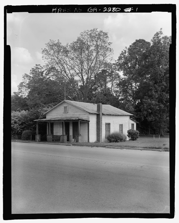
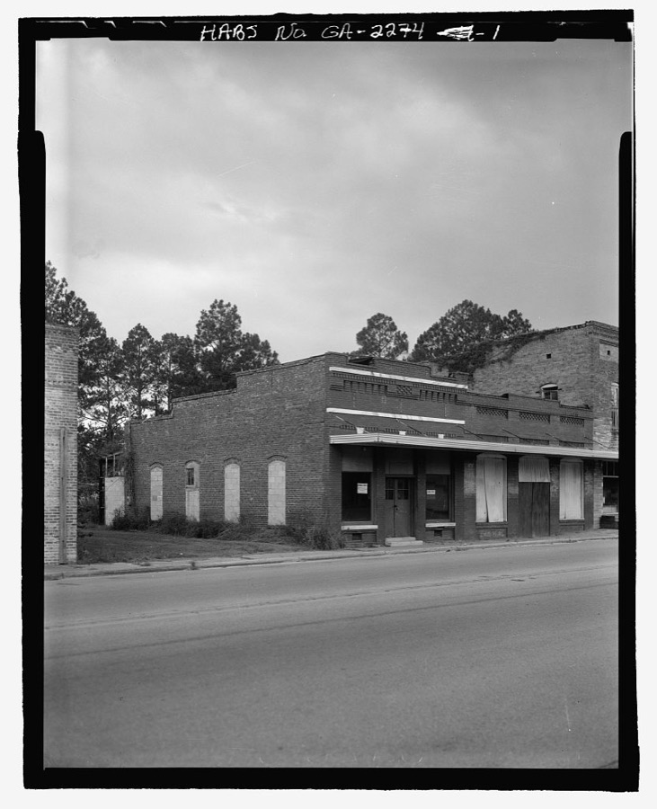
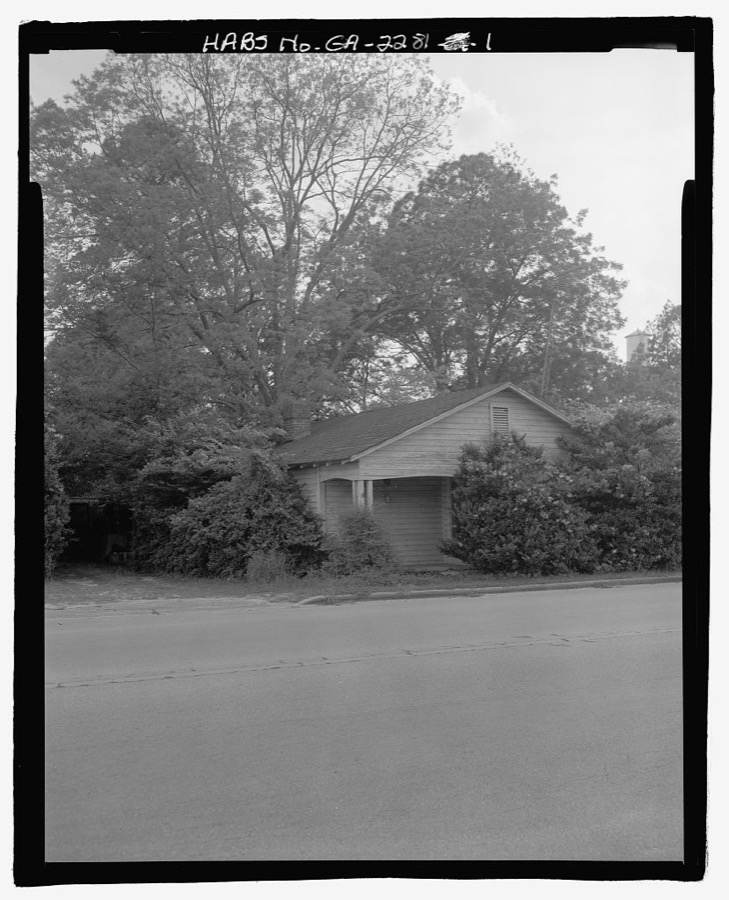
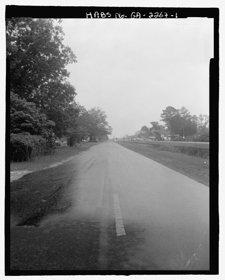
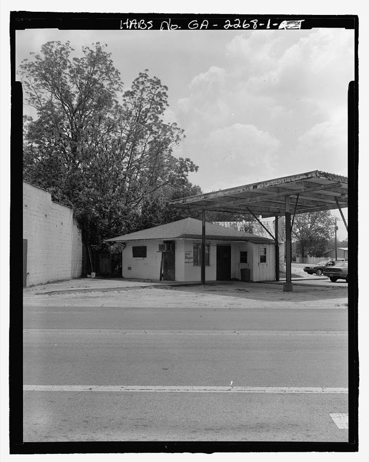

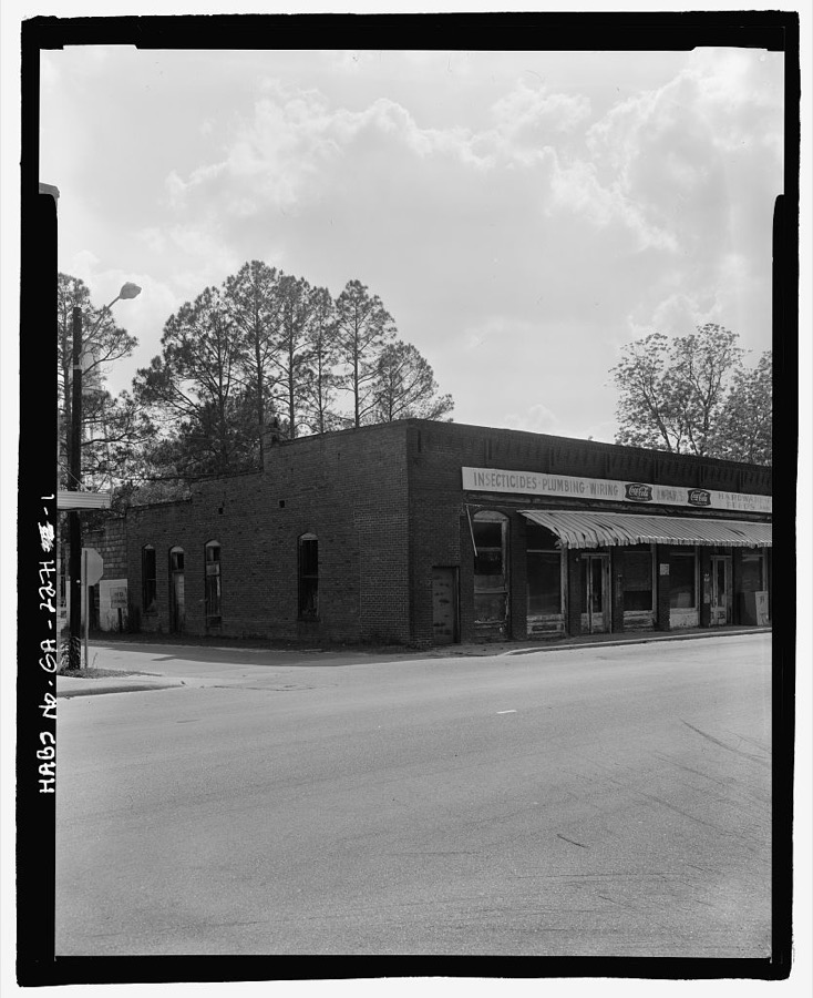
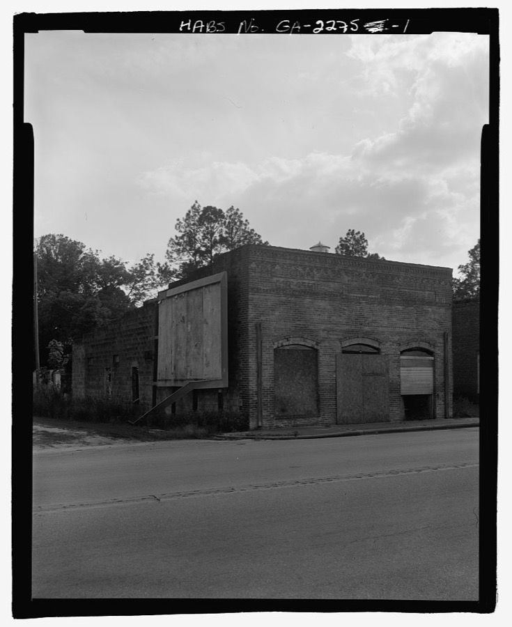

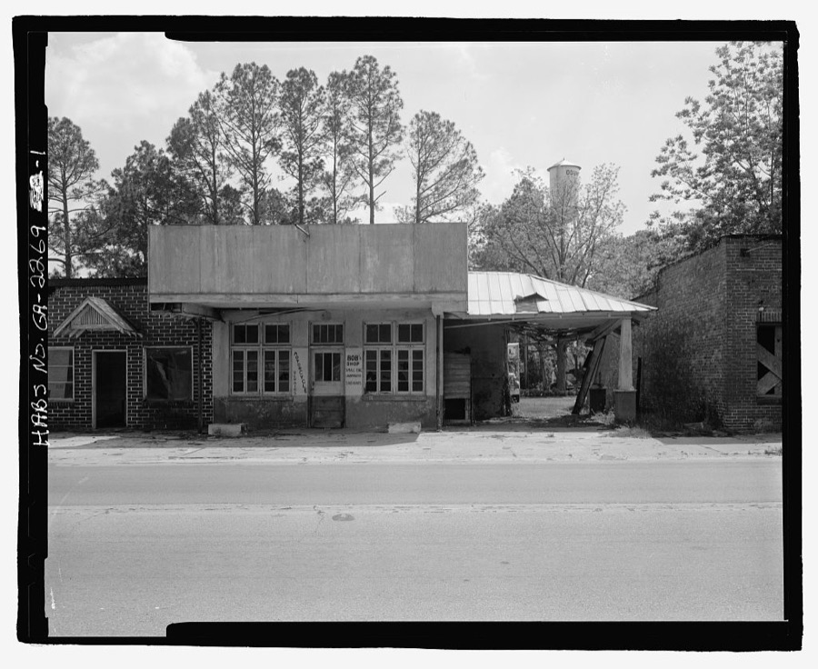

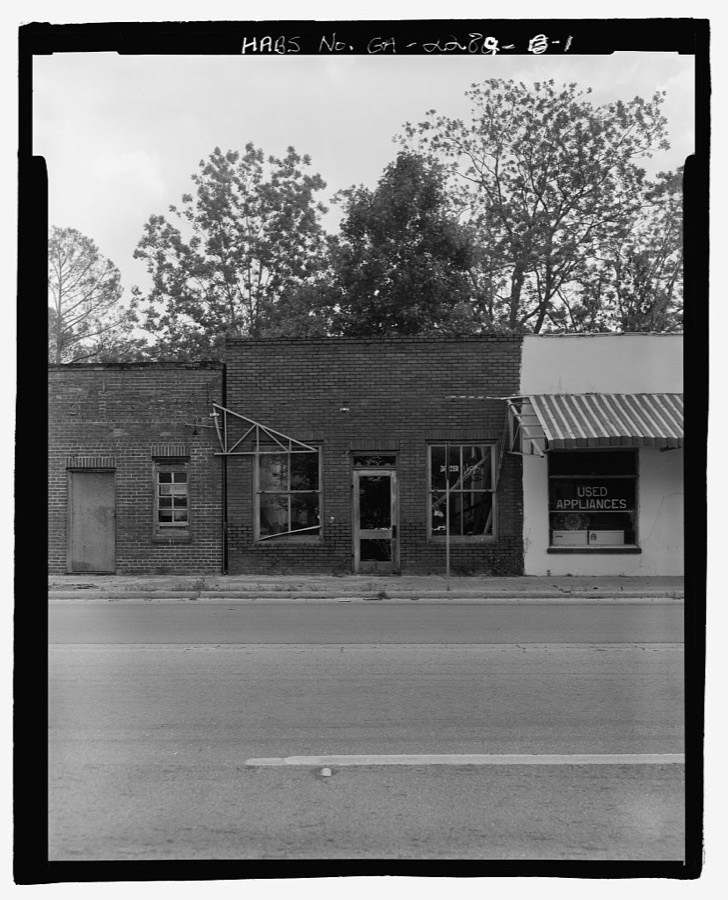
Every property in this county listed on the National Register of Historic Places, with the year it was listed and the federal nomination document.
| Photograph | Property | Type | Listed | Reference |
|---|---|---|---|---|
 | Leonard Carter House | building | 1989 | 89001212 |
 | Ritch-Carter-Martin House | building | 1998 | 98001484 |
 | John W. C. Trowell House | building | 1993 | 93000944 |
 | Wayne County Courthouse | building | 1980 | 80001261 |
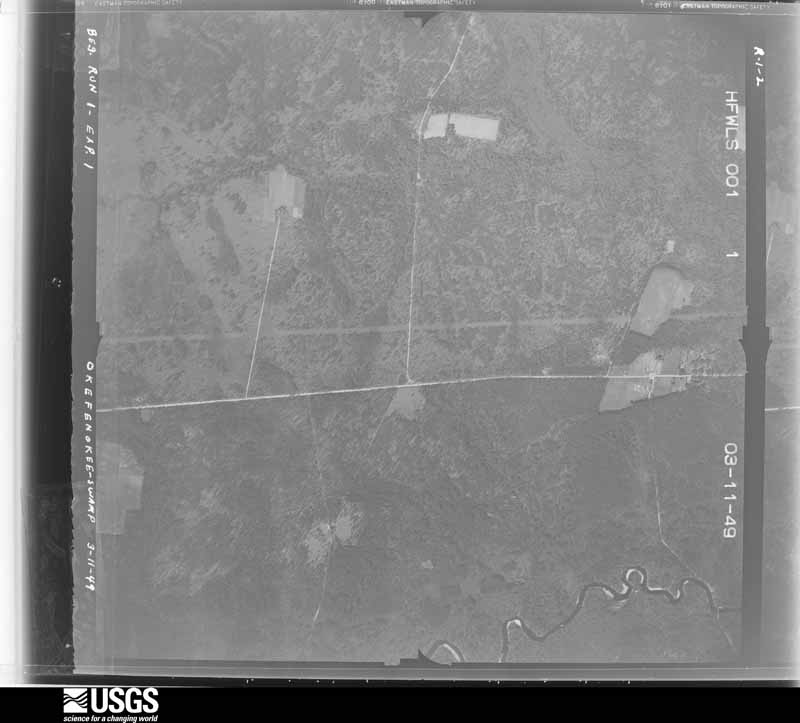
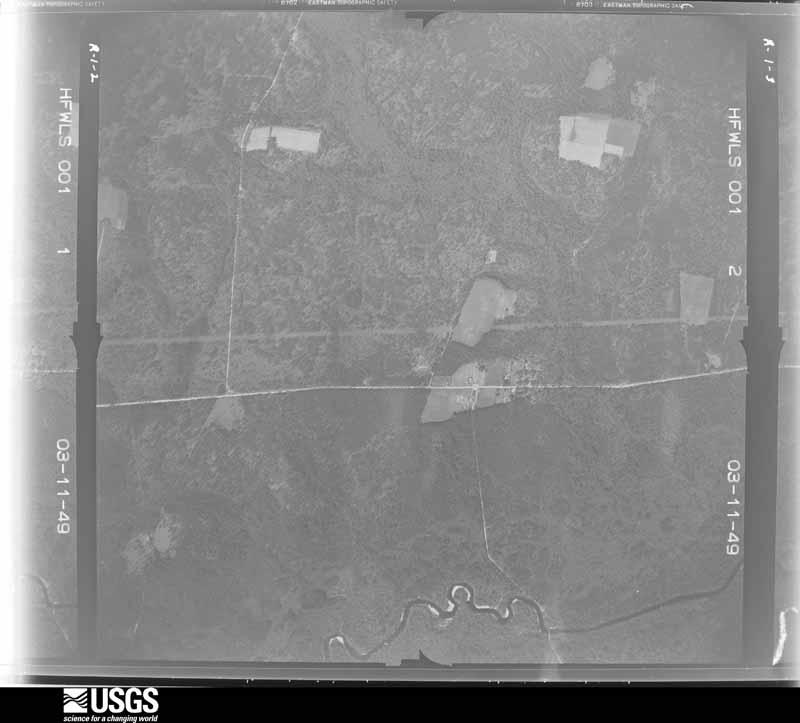
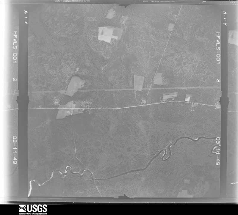
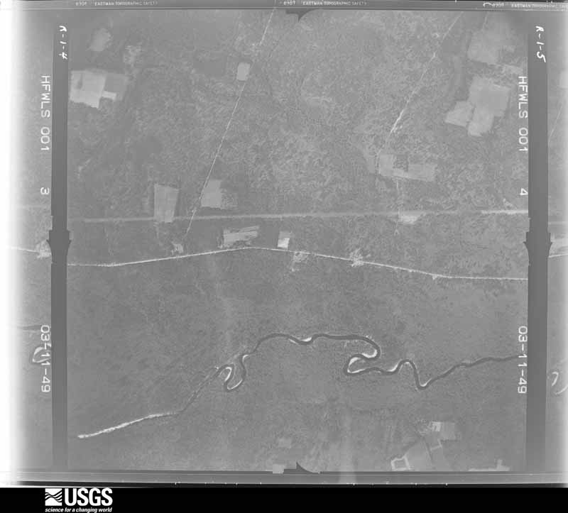
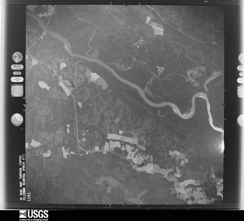
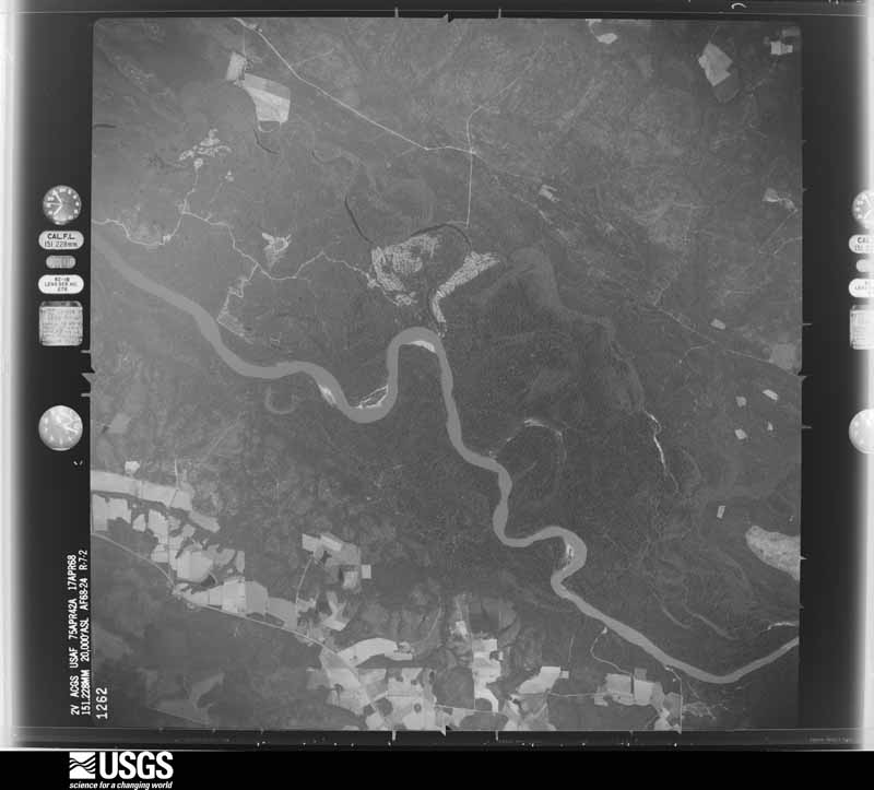
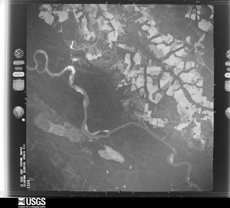
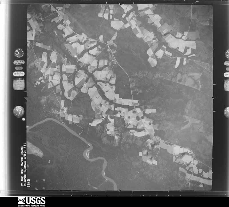
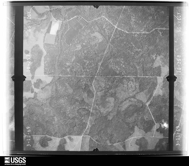
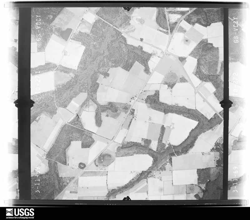
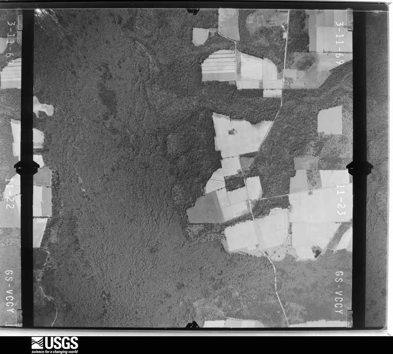
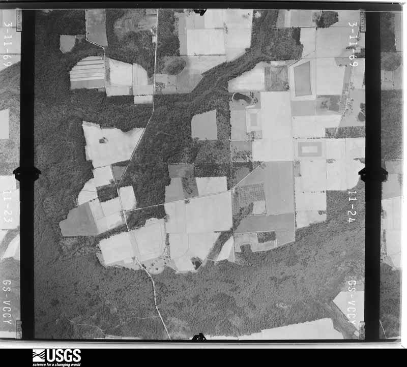
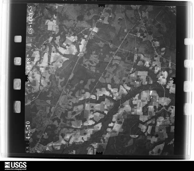
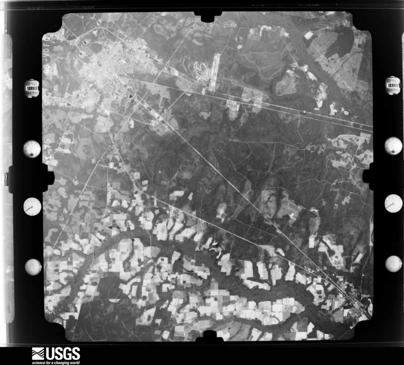
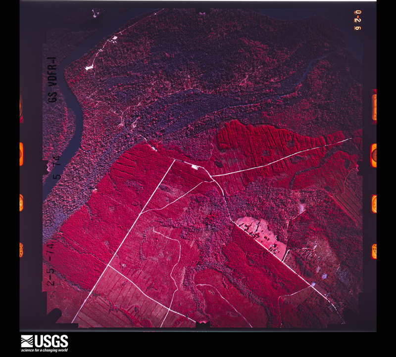
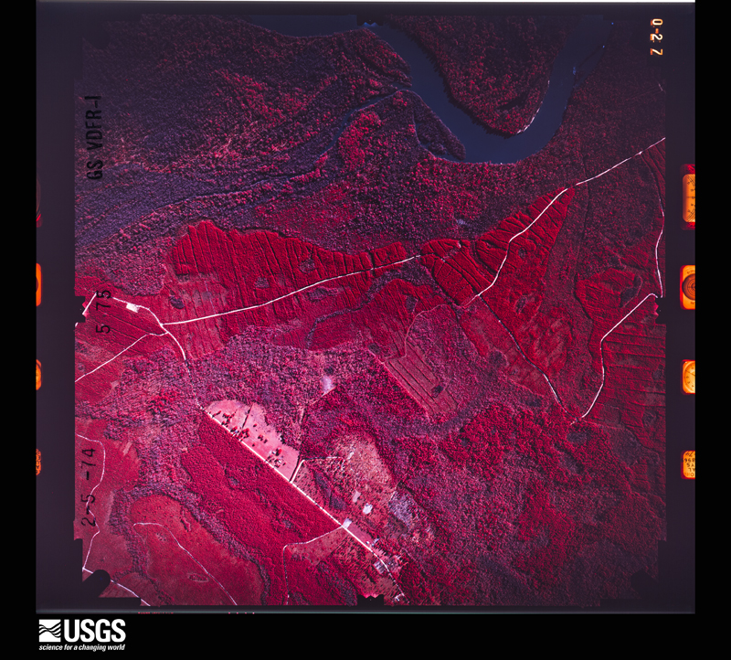
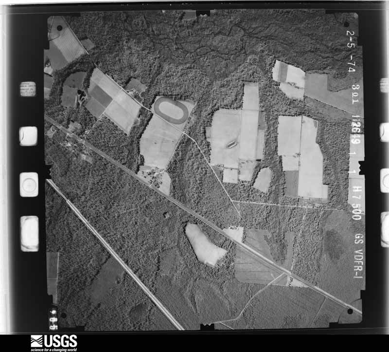
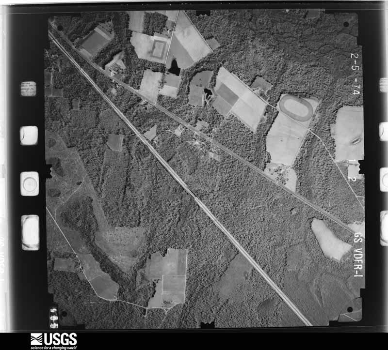
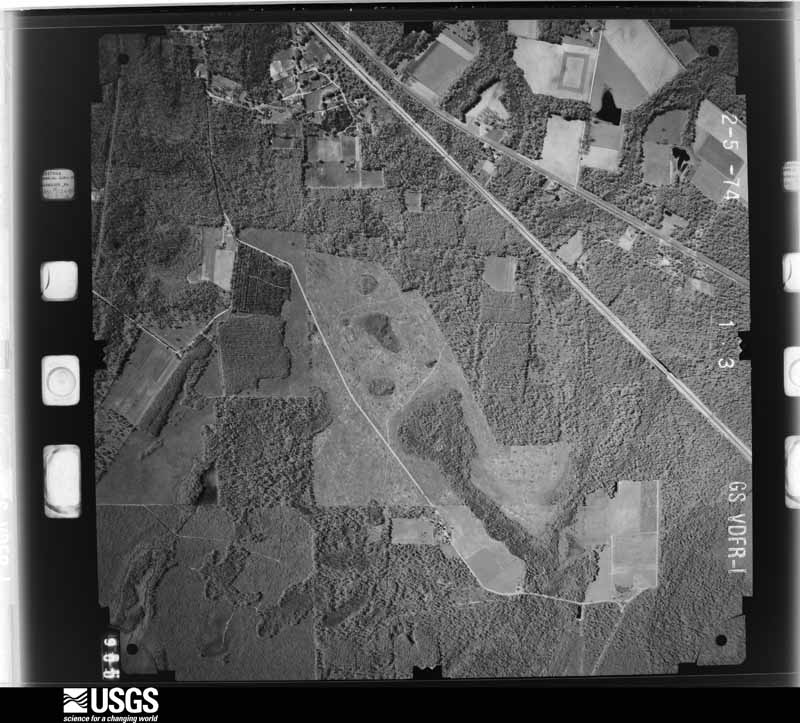
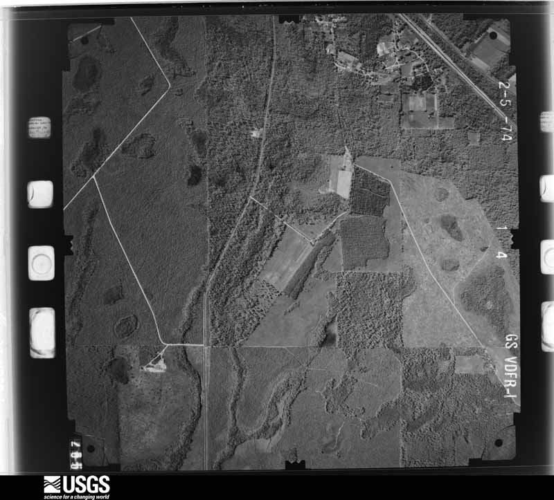
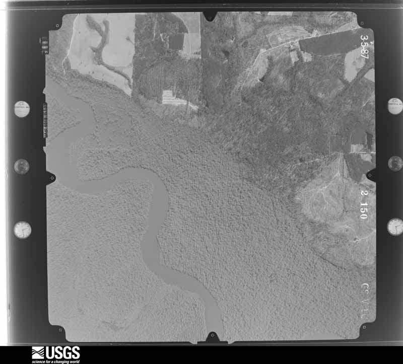
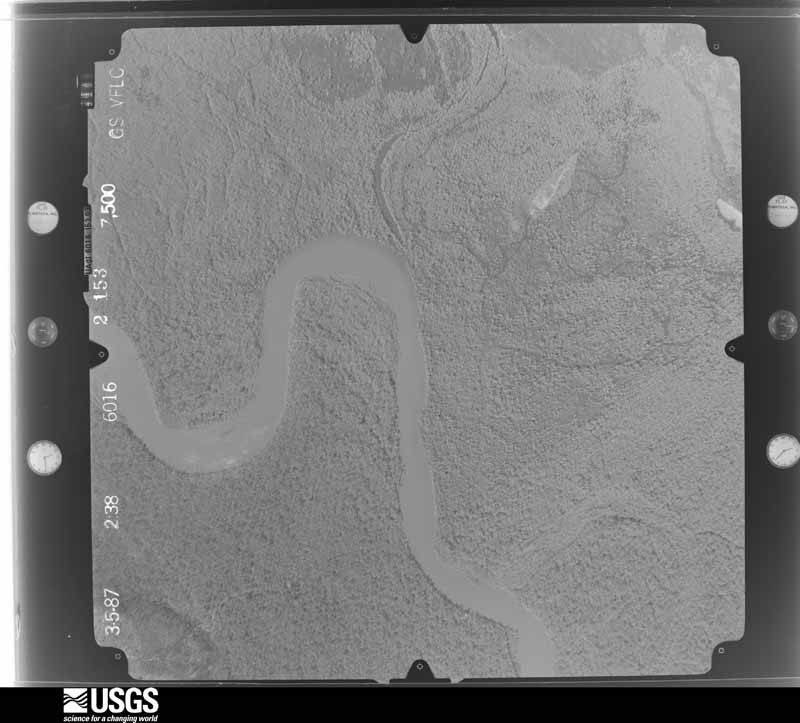
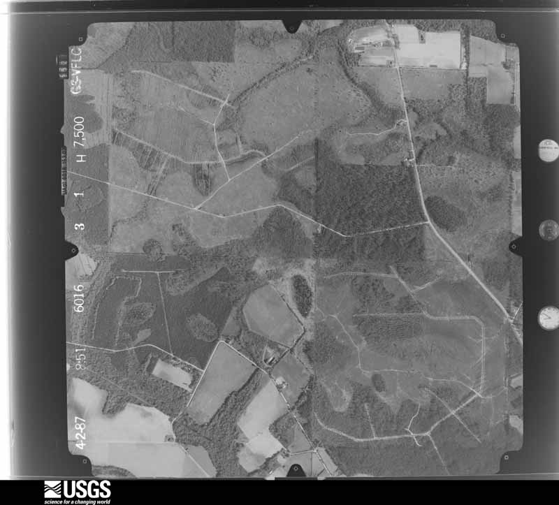
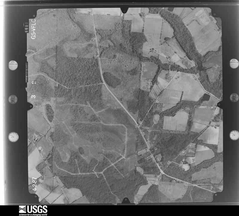
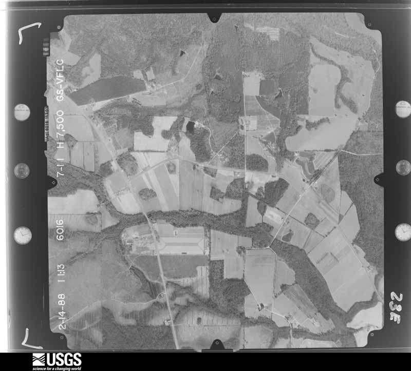
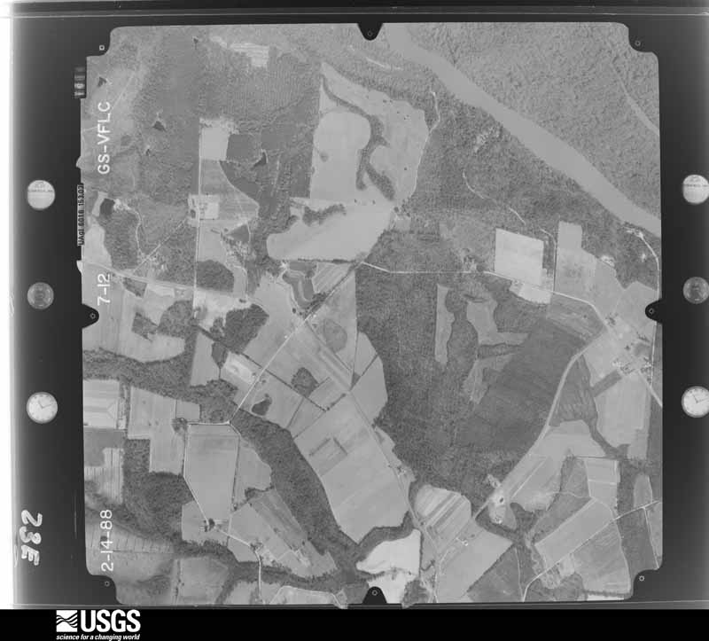
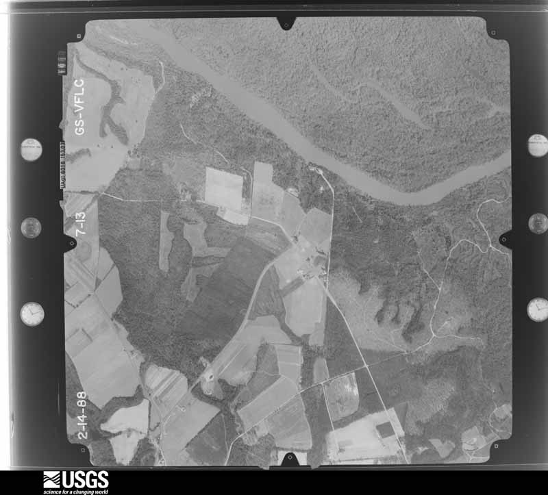
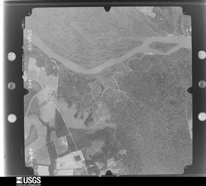
Flown by the U.S. Geological Survey between 1937 and 1989, the Aerial Photo Single Frames collection is the definitive mid-century view of the land: fields, roads and rivers as the camera saw them. The Survey holds 1,816 frames inside the rectangle that bounds this county; the 45 frames below were taken over the county itself, chosen across the decades of flights (at most four a year from that rectangle), so one flight cannot crowd out the rest. The full set is free to browse and download at EarthExplorer under the dataset Aerial Photo Single Frames.

















The thermometers that kept this county's weather, and the gages that measured the flow of its streams, as the federal records hold them. The extremes below are measured values from those records, not estimates.
Who lived here in 1950, one enumeration district at a time, as the Census Bureau described each district. Each row opens its official National Archives result, with Population Schedules and ED Maps available there.
Every wildfire the federal occurrence database records inside this county: 2,194 of them, burning about 14,268 acres. 296 started naturally and 426 were recorded as arson. Each settlement page carries the fires within five miles of it.
| Reported cause | Fires |
|---|---|
| Debris and open burning | 971 |
| Arson/incendiarism | 426 |
| Natural | 296 |
| Missing data/not specified/undetermined | 142 |
| Equipment and vehicle use | 112 |
| Railroad operations and maintenance | 84 |
| Misuse of fire by a minor | 71 |
| Smoking | 52 |
| Recreation and ceremony | 40 |
The five largest, by the area the report gives. One of them was set deliberately.
| Date | Cause | Size | Reported by | Name on the report |
|---|---|---|---|---|
| 14 June 2011 | Natural | 636 acres | Georgia Forestry Commission | FY2011-WAYNE-126 |
| 8 April 2007 | Smoking | 600 acres | Georgia Forestry Commission | EASTER DAY |
| 19 July 2007 | Natural | 478 acres | Georgia Forestry Commission | PENHOLLOWAY SWAMP FIRE |
| 16 April 2007 | Arson/incendiarism | 409 acres | Georgia Forestry Commission | BROWNTOWN FIRE |
| 31 May 1999 | Missing data/not specified/undetermined | 334 acres | Georgia Forestry Commission | not named |
| 25 April 2006 | Natural | 317 acres | Georgia Forestry Commission | not named |
| 19 July 2007 | Natural | 267 acres | Georgia Forestry Commission | ROGERS BREAK FIRE |
| 8 August 2007 | Natural | 260 acres | Georgia Forestry Commission | not named |
Every settlement page carries the fires within five miles of it - see the settlement index below.
The NOAA Storm Events Database holds 322 reports for this county, causing no deaths, 9 injuries and about $690,400 in recorded property damage. Each settlement page carries the reports that name it.
| Kind of event | Reports |
|---|---|
| Thunderstorm Wind | 196 |
| Hail | 74 |
| Heavy Rain | 18 |
| Tornado | 14 |
| Lightning | 6 |
| Funnel Cloud | 5 |
| Flood | 5 |
| Flash Flood | 4 |
The most serious of them, by death, then injury, then recorded damage. The accounts are quoted exactly as the forecast office filed them.
| When | Event | Place named | Harm | What the report says |
|---|---|---|---|---|
| April 2020 | Tornado (EF1) | Odum | 8 hurt | A high end EF1 tornado with peak winds near 110 mph touched down in Odum and tracked ENE for about 4.5 miles before lifting up again. There were 8 reported injuries. A manufactured home was lifted off of the ground and over power lines near Hyma Poppell Loop near Poppel Farms. Roof and window damage occurred to some brick and mortar homes. A home on a cinder block foundation was spun off of its base. Widespread tree and power line damage occurred near Odum including along Walter Griffis Road, Hires Avenue, Hyma Poppell Loop and Tank Road. |
| December 2009 | Tornado (EF1) | Jesup | 1 hurt | A National Weather Service storm survey confirmed an EF1 touchdown near 632 Longford Road. At that location trees were overturned and snapped, a swimming pool cage was destroyed and a shed was flipped over onto its side. Winds here were estimated to be 90 mph or EF-1 velocity. The vortex then moved northeast over a wooded area and lake snapping trees. This area was not assessable; however, damage appeared to be in the EF-1 range. The storm then moved over Bethlehem Road downing and snapping trees and power lines. A school bus was also tossed into a ditch near Bethlehem Road and Fender Drive with no injuries and no students onboard. The funnel then struck a shed and mobile home destroying both with debris thrown approximately one quarter mile into the woods. The occupant of the mobile home was tossed from the structure with minor injuries and winds in this area were estimated at 110 mph or strong EF-1 status. The system them moved through a wooded area again snapping trees and crossed Grantham Road near Kicklighter Drive again snapping trees and power lines. Winds were estimated near 90 mph in this area and the vortex lifted off the ground at this point. |
| December 2012 | Thunderstorm Wind | Ross | $200,000 | Trees were blown down an damage was done to agricultural equipment. The cost of property loss was reported at $200,000. |
| August 2013 | Flash Flood | Doctortown | $100,000 | Around 9:47 pm EDT, Wayne County Dispatch reported that a portion of Odum Screven Road was flooded near Route 203. By 10:22 pm EDT, Dispatch reported that many roads in Jesup were flooded, and a few structures had water flowing into them. By 10:45 pm, the county emergency manager relayed that there was widespread flash flooding occurring in Jesup. Numerous roads were flooded including Main Road 84. There were 4 vehicles completely covered in water, and water was entering homes, motels and fire stations in Jesup. Around 12 am on 8/20, the emergency manager relayed that 20 to 30 homes in downtown Jesup were flooded with about 1 ft of standing water. There was about 4 inches of standing water at the main fire station in Jesup. A motel in Jesup was also flooded. U. S. Highway 84 was closed due to flooding Monday evening, but was re-opened over night. Wayne county closed public schools on Tuesday, 8/20, due to flooded roads. The cost of damage was unknown, but was estimated for the event to be included in Storm Data. The estimate is likely grossly underestimated. |
| March 2026 | Thunderstorm Wind | Odum | $70,000 | Numerous mobile homes suffered major damage to roofs and siding in the Odum area. Many roofs were peeled off completely destroying the roof. A shipping container was also flipped onto its side. Time was estimated from radar. |
| March 2000 | Tornado (F0) | Gardi | $60,000 | A weak F0 tornado with some areas of straight line winds. Damaged 10 homes and destroyed three sheds. |
| October 1997 | Lightning | Jesup | $30,000 | Three homes were struck. One destroyed. |
| April 1980 | Tornado (F0) | not stated | $25,000 | no account filed |
| February 2014 | Thunderstorm Wind | Doctortown | $20,000 | Two large trees were blown down onto a building which caused damage near U.S. Highway 84 about 1 mile south of the Altamaha River. |
| November 1995 | Tornado (F1) | Screvin | $20,000 | Around 15 to 20 trees were across White Star Still Road. Other trees were snapped at around 15 feet above the ground. |
| August 2000 | Lightning | Jesup | $15,000 | Business damaged. |
| June 2001 | Thunderstorm Wind | Odum | $12,000 | Large trees and power lines were blown down on Gail Road. Roof blown off mobile home. |
| December 2023 | Flood | Screvan | $10,000 | Old Screven Road (dirt road) was washed out to the point where the culvert pipe was showing. This was near Aaron Holland Rd. A creek also overflowed and flooded a backyard near Alberta Rd in Screven. |
| November 2002 | Thunderstorm Wind | Odum | $10,000 | Numerous large trees down on Brantley Road (Off Highway 301) near McKinnon. Large trees down in Odum. |
| December 2002 | Thunderstorm Wind | Madray Spgs | $10,000 | Two large Pecan trees down and portion of roof blown off. Possible tornado. |
| June 2011 | Lightning | Nesbit | $5,000 | Three power transformers caught fire after being struck by lightning. The cost of damage was estimated based on an average 45 KVA power transformer. |
| December 2006 | Thunderstorm Wind | Jesup | $5,000 | Several large trees down with power outages in Jesup. |
| November 1995 | Thunderstorm Wind | Screven | $5,000 | Large tree limbs and power lines blown down. |
| June 1994 | Thunderstorm Wind | Odom | $5,000 | Numerous trees and power lines were downed by thunderstorm winds along U.S. Highway 341 and in Screven along U.S. Highway 84. |
| October 1993 | Thunderstorm Wind | Screven | $5,000 | A large swath of trees was blown down by thunderstorm winds. |
| June 2001 | Thunderstorm Wind | Jesup | $3,500 | Large trees and power lines were blown down. |
| June 2001 | Thunderstorm Wind | Jesup | $3,500 | Large trees and power lines were blown down. |
| June 2000 | Thunderstorm Wind | Jesup | $3,500 | Large trees and power lines were blown down. |
| May 2000 | Thunderstorm Wind | Jesup | $3,500 | Large trees and power lines were blown down. |
| March 2011 | Thunderstorm Wind | Odum | $3,000 | A semi-truck was overturned due to severe thunderstorm winds along U.S. Highway 341 west of Odum. No injuries were reported. The time of the event was based on the report from the county emergency manager. The cost of property damage was estimated. |
| July 2000 | Thunderstorm Wind | Jesup | $3,000 | Large trees and power lines were blown down. |
| July 2001 | Thunderstorm Wind | Mt Pleasant | $2,500 | Large trees and power lines were blown down. |
| May 2000 | Thunderstorm Wind | Mt Pleasant | $2,500 | Large trees and power lines were blown down. |
| August 1999 | Thunderstorm Wind | Madray Spgs | $2,500 | Large trees and power lines were blown down. |
| August 1999 | Thunderstorm Wind | Jesup | $2,500 | Large trees and power lines were blown down. |
| January 1999 | Thunderstorm Wind | Mt Pleasant | $2,500 | Large trees and power lines were blown down. |
| May 1998 | Thunderstorm Wind | Jesup | $2,500 | Large trees were blown down. |
| June 1998 | Thunderstorm Wind | Broadhurst | $2,500 | Large trees and power lines were blown down. |
| June 1998 | Thunderstorm Wind | Jesup | $2,500 | Large trees and power lines were blown down. |
| October 1997 | Thunderstorm Wind | Screvan | $2,500 | Large trees and power lines were blown down. Two utility buildings were damaged. |
| July 1996 | Thunderstorm Wind | Odum | $2,500 | no account filed |
| April 1955 | Tornado (F0) | not stated | $2,500 | no account filed |
| February 2017 | Thunderstorm Wind | Redland | $2,000 | A section of a mobile home roof was ripped off and Red Hill Road in Jesup. The time of damage was based on radar. The cost of damage was estimated for the event to be included in Storm Data. |
| June 2016 | Thunderstorm Wind | Kville | $2,000 | Trees and power lines were blown down along 9 Run Road. The time of damage was based on radar. The cost of damage was unknown, but it was estimated for the event to be included in Storm Data. |
| June 2016 | Thunderstorm Wind | Screvan | $2,000 | Trees and power lines were blown down along Oak Street in Screven. Time was based on radar. Cost of damage was unknown, but it was estimated for this event to be included in Storm Data. |
| August 2016 | Thunderstorm Wind | Odum | $2,000 | A few trees were blown down in Odum and some power lines were blown down between Highway 27 and State Road 38. The cost of damage was estimated for this event to be included in Storm Data. |
| August 2012 | Thunderstorm Wind | Jesup | $2,000 | Trees and power lines were blown down in Jesup. The time was estimated based on radar data. The cost of damage was estimated. |
| June 2010 | Thunderstorm Wind | Drawdy | $2,000 | Several trees and power lines were blown down in the Jesup area. One tree fell on a home on Meadowood Drive. The cost of damage was estimated. |
| August 2002 | Thunderstorm Wind | Jesup | $2,000 | Large trees down along Meadowwood Drive. |
| June 1995 | Thunderstorm Wind | Odum | $2,000 | Thunderstorm winds knocked down large trees and powerlines in Odum. Trees, which were knocked down along U.S. Highway 341 resulted in an accident. Numerous power outages were reported. |
| July 1996 | Thunderstorm Wind | Jesup | $2,000 | no account filed |
| August 2000 | Thunderstorm Wind | Mt Pleasant | $1,500 | Large trees and power lines were blown down. |
| August 1998 | Thunderstorm Wind | Odum | $1,500 | Large trees and power lines were blown down. |
| August 1998 | Thunderstorm Wind | Jesup | $1,500 | Large trees and power lines were blown down. |
| September 1997 | Thunderstorm Wind | Gardi | $1,500 | Large trees and power lines were blown down along US-431. |
| July 1996 | Thunderstorm Wind | Jesup | $1,500 | no account filed |
| June 2022 | Thunderstorm Wind | Nesbit | $1,000 | A tree was reported down near the intersection of GA-203 and odum screven rd. |
| August 2020 | Thunderstorm Wind | Drawdy | $1,000 | Several trees were blown down between Odum and Jesup, and a tree was blown down near Highway 169. The time of damage was based on radar. The cost of damage was unknown but it was estimated for inclusion of the event in Storm Data. |
| September 2020 | Lightning | Gardi | $1,000 | Lightning caused fire to a child's playhouse. The structure was completely burned. The cost of damage was estimated for Storm Data inclusion. The time of damage was approximated by radar and lightning data. |
| April 2019 | Thunderstorm Wind | Mt Pleasant | $1,000 | Several trees were blown down in eastern Wayne County. The cost of damage was unknown, but it was estimated for Storm Data. |
| March 2008 | Tornado (EF1) | Mt Pleasant | $1,000 | Wayne County Emergency Management reported a 200 yard wide and one half mile long tornado track crossing Post Road and Boones Branch Road south of Mount Pleasant. Hundreds of trees were snapped by the event with the Road Department sent to clear the roadways. Several garages were damaged with the tornado path transiting between several homes. |
| May 2002 | Thunderstorm Wind | Screvan | $1,000 | Two large Live Oak trees down and several Pines. |
| May 1999 | Tornado (F0) | Kville | $1,000 | Moved across open area. |
| July 2018 | Thunderstorm Wind | Screvan | $500 | A tree was blown down onto a power line near the intersection of GA State Road 38 and Alberta Road. The cost of damage was unknown but it was estimated for the event to be included in Storm Data. |
| July 1999 | Thunderstorm Wind | Gardi | $500 | Large trees were blown down along US-341. |
The Survey's mineral resources record lists 2 workings inside this county. All of them still produce. Each settlement page carries the workings within five miles of it.
| Commodity | Workings |
|---|---|
| Sand and Gravel, Construction | 2 |
The least common of them first, because a county's hundredth gravel pit says nothing its first ten did not.
| Where | Site | Commodity | Status | Recorded |
|---|---|---|---|---|
| Morris-Anderson Mine | Sand and Gravel, Construction | Producer | ||
| Morriss-Anderson Pit | Sand and Gravel, Construction | Producer |
Named settlements recorded in the Geographic Names Information System, each with the topographic sheets covering it. Villages, hamlets and abandoned places alike. Each is shown with the nearest named watercourse or landform and the survey quadrangle it falls on. The 1 place that was also surveyed for fire insurance comes first, with the number of atlases and photographs held for them.
Jesup census division · 31545 · On Coleman Branch · Jesup West quadrangle
14 sheets, 1918 to 1981
Fire insurance: 8 atlases
Jesup census division · 31546 · On Pigeonroost Creek · Everett quadrangle
16 sheets, 1918 to 1993
Jesup census division · 31545 · Near Knee Buckle Island · Doctortown quadrangle
15 sheets, 1918 to 1981
Jesup census division · 31546 · By Sansavilla Bluff · Everett quadrangle
16 sheets, 1918 to 1993
Jesup census division · 31543 · Near Tob Hammock · Everett quadrangle
16 sheets, 1918 to 1993
Jesup census division · 31546 · On Little McMillen Creek · Jesup East quadrangle
14 sheets, 1918 to 1981
Jesup census division · 31546 · On Harper Slough · Bug Island quadrangle
14 sheets, 1943 to 1981
Jesup census division · 31555 · On Vickers Branch · Jesup NW quadrangle
14 sheets, 1918 to 1981
Screven census division · 31560 · On Tiger Creek · Screven quadrangle
8 sheets, 1953 to 1988
14 topographic sheets and 8 fire insurance atlases, 1889 to 1940
The complete index, with nothing left out. Each of these is a separate record with its own page: a federal survey report, or the case file that argued a property on to the National Register. Both are public domain and reproduced word for word.