 Block
Cole City, Georgia
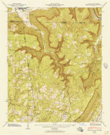
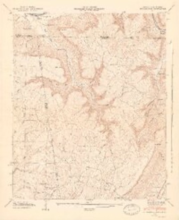
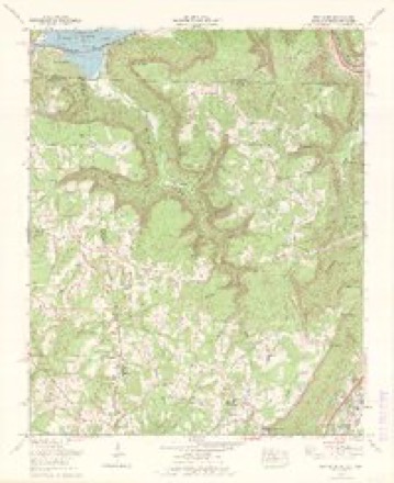
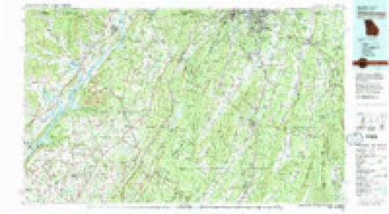
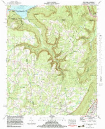
25 topographic sheets cover this place, the earliest surveyed in 1886 and the latest in 1982. It stands in the Sand Mountain census division. It lies in ZIP code area 30752. It lies near Tatum Gulf. The Survey maps it on the New Home quadrangle.
Topographic sheets covering this place
13 surveys from 25 printed sheetsMatched by testing this settlement's coordinate against the published boundary of every sheet in the United States Geological Survey's historical collection. Each opens the scanned sheet at the Survey.
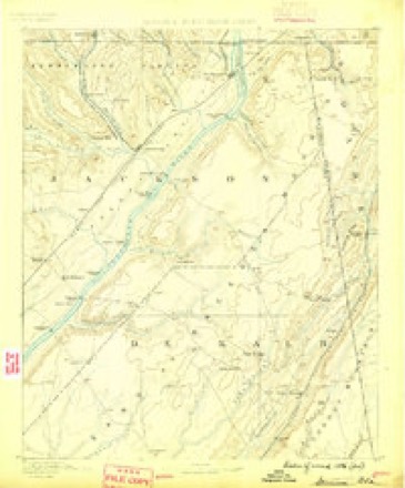
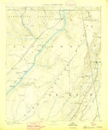
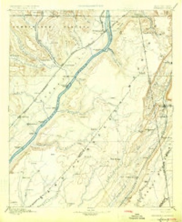
- 1886 USGS Stevenson quadrangle1:125000
- 1892 USGS Stevenson quadrangle1:125000
- 1895 USGS Stevenson quadrangle1:125000, 6 printings
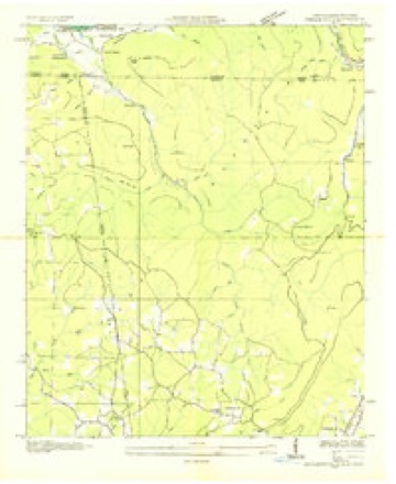
- 1936 USGS Shellmound quadrangle1:24000
- 1945 USGS Shellmound quadrangle1:24000, 2 printings
- 1946 USGS Shellmound quadrangle1:24000, 2 printings
- 1955 USGS Rome quadrangle1:250000
- 1958 USGS Rome quadrangle1:250000, 3 printings
- 1961 USGS Rome quadrangle1:250000
- 1963 USGS Rome quadrangle1:250000
- 1970 USGS New Home quadrangle1:24000, 2 printings
- 1981 USGS Chickamauga quadrangle1:100000, 2 printings
- 1982 USGS New Home quadrangle1:24000, 2 printings




Fires near this place
304 since 1992Regional context, not property-specific evidence. The federal wildfire occurrence database lists 304 fires within 5 miles of Cole City between 1992 and 2020, burning about 8,196 acres in total. 3 started naturally. 111 were recorded as arson. Distance is straight-line from the map coordinates, so a fire counted here may appear on a neighbouring settlement's page as well.
| Reported cause | Fires |
|---|---|
| Debris and open burning | 143 |
| Arson/incendiarism | 111 |
| Missing data/not specified/undetermined | 18 |
| Recreation and ceremony | 10 |
| Railroad operations and maintenance | 6 |
| Smoking | 4 |
| Equipment and vehicle use | 4 |
| Misuse of fire by a minor | 4 |
| Natural | 3 |
| Fireworks | 1 |
The most recent of them, most recent first, with the day each was reported and the service that recorded it.
| Date | Cause | Size | Reported by | Name on the report |
|---|---|---|---|---|
| 7 September 1998 | Arson/incendiarism | 1.0 acres | Alabama Forestry Commission | not named |
| 30 September 2007 | Equipment and vehicle use | 1.5 acres | Georgia Forestry Commission | not named |
| 30 September 2007 | Arson/incendiarism | 1.0 acres | Georgia Forestry Commission | not named |
| 29 September 2013 | Debris and open burning | under an acre | Georgia Forestry Commission | FY2014-DADE-003 |
| 28 September 2007 | Debris and open burning | 6.5 acres | Tennessee Division of Forestry | #3BLUFFVIEW |
| 2 September 1998 | Arson/incendiarism | 3.0 acres | Tennessee Division of Forestry | not named |
| 18 September 2010 | Debris and open burning | under an acre | Georgia Forestry Commission | FY2011-DADE-014 |
| 18 September 2005 | Debris and open burning | under an acre | Georgia Forestry Commission | not named |
Settlements close enough to share some of these fires:
Mines and quarries near this place
2 within 5 milesRegional context, not property-specific evidence. The federal mineral resources record lists 2 workings within 5 miles of Cole City: 2 past producers. None of them still produces. What was taken out: Stone, Crushed/Broken, Stone. Distance is straight-line from the map coordinates, so a quarry counted here may appear on a neighbouring settlement's page as well.
| Where | Site | Commodity | Status | Recorded |
|---|---|---|---|---|
| Nickajack Plant | Stone, Crushed/Broken | Past Producer | Limestone | |
| Nickajack Plant | Stone | Past Producer |
Storms near this place
25 since 2005Regional context, not property-specific evidence. The National Weather Service names Cole City in 25 storm reports between 2005 and 2025: 18 thunderstorm wind, 5 hail, 2 flash flood. No death or injury is recorded in these reports. Each account below is quoted exactly as the forecast office filed it, from the NOAA Storm Events Database, and each date opens the federal record of that event.
| When | Event | Place named | Harm | What the report says |
|---|---|---|---|---|
| June 2011 | Thunderstorm Wind | Cole City | $500,000 | The Dade County Emergency Management Director and amateur radio operators reported extensive and widespread wind damage across the northern half of Dade county from an apparent microburst or widespread area of damaging thunderstorm outflow boundary winds. The most extensive damage was noted in the 9000 block of Scenic Highway, northeast of Trenton. The most significant damage extended from West Brow to Burkhalter Gap where hundreds of trees were either blown over or uprooted and dozens of power lines were also blown down or affected by downed trees. Portions of Lookout Mountain Scenic Highway were blocked from dozen of large downed trees. Two homes in West Brow completely lost their roofs as they were lifted off the structures. In the 9000 block of Scenic Highway, the roof of one home was blown downstream several hundred feet and wrapped around adjacent trees. The deck of the home was completely lifted off its foundation and turned on its side. A nearby chicken farm also sustained damage, including the loss of a number of poultry. The other home was located in the 8000 block of Scenic Highway and was completely destroyed when its roof was lifted off the structure and thrown across the road. One of the downed trees on Scenic Highway landed on a vehicle, but no injuries were reported from this incident. There were also a number of trees down in the northwest part of the county as well. Several trees were down on Interstate-59, northwest of Trenton. Widespread power outages were noted across the northern part of the county. |
| March 2017 | Thunderstorm Wind | Cole City | $25,000 | The Dade County Emergency Manager reported more than 50 trees blown down across the county. |
| June 2019 | Thunderstorm Wind | Cole City | $15,000 | Multiple reports of trees down from Sand Mountain to Trenton. Location included Reeves Road and Laura Lane. |
| May 2013 | Flash Flood | Cole City | $10,000 | The emergency manager reported several drainage branches and small creeks overflowed their banks and flooded low lying portions of several roads from Cole City to Wildwood and Morganville. A family was stranded in their home near Cole City by surrounding flood waters. First responders had a difficult time reaching them to evacuate to higher ground. |
| September 2011 | Flash Flood | Cole City | $10,000 | The Dade County Emergency Management Director reported that several small creeks in the county were overflowing their banks causing portions of adjacent roads to become flooded. One home near Georgia Highway 136 in Trenton became surrounded by flood waters from Sitton Gulch Creek. The residents of this home had to be evacuated by the Trenton Fire Department. Monetary damage was a result of minor damage to the affected home and debris removal. |
| April 2018 | Thunderstorm Wind | Cole City | $5,000 | The Dade County Emergency Manager reported multiple trees blown down in the New Home area. |
| April 2005 | Thunderstorm Wind | Cole City | $5,000 | The Dade County 911 Center reported that a number of trees were down in the area, especially around Trenton. An amatuer radio operator confirmed that many trees and several power lines were down. The Dade County Sentinel reported that thunderstorm winds caused damage to roofs and blew down trees throughout the county. A portion of a roof was torn off a barn in northwest Dade county in the Sand Mountain area near Cole City. A roof was also blown off a nearby storage building and it was carried nearly 40 yards away. Some 25-30 trees were blown down in the Edgewood area of Trenton casusing minor damage to the side of one home. A trailer was also damaged and a car was destroyed when a large oak tree fell on it. |
| May 2024 | Thunderstorm Wind | Cole City | $3,000 | Several trees down on Sand Mountain . |
| May 2024 | Thunderstorm Wind | Cole City | $3,000 | Several trees down on Hartline Rd and Stockman Rd. |
| June 2018 | Thunderstorm Wind | Cole City | $3,000 | The Dade County 911 center reported trees blown from around New Home Loop northwest of Trenton to Burkhalter Gap Road northeast of Trenton. |
| July 2023 | Thunderstorm Wind | Cole City | $2,000 | Two trees down near the intersection of Ballard Rd and New Home Rd. |
| June 2014 | Thunderstorm Wind | Cole City | $2,000 | The Dade County 911 Center reported that several large trees were down, some onto power lines. |
| April 2011 | Thunderstorm Wind | Cole City | $2,000 | The Dade County 911 Center reported that approximately six trees were down across the northern part of the county. At least one tree was down in the New Home Community and another was down in Murphy Hollow. |
| June 2011 | Thunderstorm Wind | Cole City | $2,000 | The Dade County 911 Center reported that up to five trees were down in the Poplar Springs Road area. |
| July 2013 | Thunderstorm Wind | Cole City | $1,500 | The Dade County Emergency Manager reported that several trees were blown down across the county. One fell on to Highway 301 near the state line and another fell on Highway 136 West. |
| August 2024 | Thunderstorm Wind | Cole City | $1,000 | A tree was reported down across hartline road . |
| May 2024 | Thunderstorm Wind | Cole City | $1,000 | EM reported tree down at Scratch Ankle Rd and Reed Rd. |
| May 2024 | Thunderstorm Wind | Cole City | $1,000 | EM reported tree down at New Home Lopp and Ivey Rd. |
| August 2023 | Thunderstorm Wind | Cole City | $1,000 | A tree and power lines were downed on Scratch Ankle Road near Reed Rd. |
| October 2014 | Thunderstorm Wind | Cole City | $250 | The Dade County 911 Center reported a tree down on Scratch Ankle Road near Sand Mountain. |
| April 2025 | Hail | Cole City | - | One inch hail at leiderman rd near new home rd. |
| April 2025 | Hail | Cole City | - | Quarter size hail near picket post trail and stallings road. |
| April 2025 | Hail | Cole City | - | Hail up to quarter size near new home road and ballard road. |
| April 2022 | Hail | Cole City | - | Picture provided of half-dollar sized hail near intersection of Dennis Rd and New Home Loop. |
| April 2022 | Hail | Cole City | - | Picture provided of quarter sized hail near intersection of Picket Post Trail and Stallings Rd. |
Nearest settlements
The eight closest, with where each one stands in the county. Distances are straight-line, computed from the Geographic Names Information System coordinates.
| Map | Place | Distance | Sheets |
|---|---|---|---|
| Avans | 4.8 miles | 25 | |
| New England | 5.5 miles | 26 | |
| Morganville | 6.2 miles | 26 | |
| Gass | 6.2 miles | 23 | |
| Trenton | 6.3 miles | 23 | |
| Hooker | 7.4 miles | 26 | |
| Union | 7.7 miles | 23 | |
| Tatum (historical) | 8.3 miles | 23 |
Provenance
This settlement is recorded in the Geographic Names Information System as feature 331433. The sheet list is computed by point-in-boundary test against the United States Geological Survey's historical topographic inventory. Both are works of the United States government and carry no copyright under 17 U.S.C. 105.
Wildfire. Short, Karen C. 2022. Spatial wildfire occurrence data for the United States, 1992-2020 [FPA_FOD_20221014]. 6th Edition. Fort Collins, CO: Forest Service Research Data Archive. https://doi.org/10.2737/RDS-2013-0009.6 Collected with United States Government funding and usable without additional permissions or fees.
Mines and quarries. USGS Mineral Resources Data System (MRDS) https://mrdata.usgs.gov/mrds/ A work of the United States government, no copyright under 17 U.S.C. 105.
Storms. NOAA National Centers for Environmental Information, Storm Events Database https://www.ncei.noaa.gov/stormevents/ A work of the United States government, no copyright under 17 U.S.C. 105. Narratives are quoted verbatim from the National Weather Service report and are not edited or summarised.